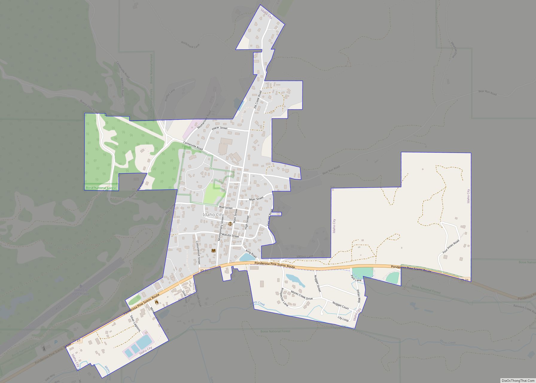
Idaho City is a city in and the county seat of Boise County, Idaho, United States, located about 36 miles (58 km) northeast of Boise. The population was 485 at the 2010 census, up from 458 in 2000.
Idaho City is part of the Boise City−Nampa, Idaho Metropolitan Statistical Area.
| Name: | Idaho City city |
|---|---|
| LSAD Code: | 25 |
| LSAD Description: | city (suffix) |
| State: | Idaho |
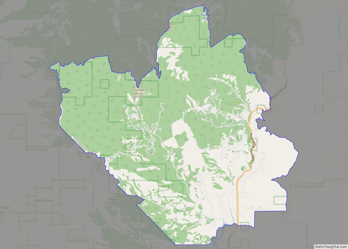
| County: | Boise County |
| Elevation: | 3,907 ft (1,191 m) |
| Total Area: | 0.67 sq mi (1.73 km²) |
| Land Area: | 0.67 sq mi (1.72 km²) |
| Water Area: | 0.00 sq mi (0.00 km²) |
| Total Population: | 485 |
| Population Density: | 702.26/sq mi (271.13/km²) |
| ZIP code: | 83631 |
| Area code: | 208, 986 |
| FIPS code: | 1639610 |
| GNISfeature ID: | 0383600 |
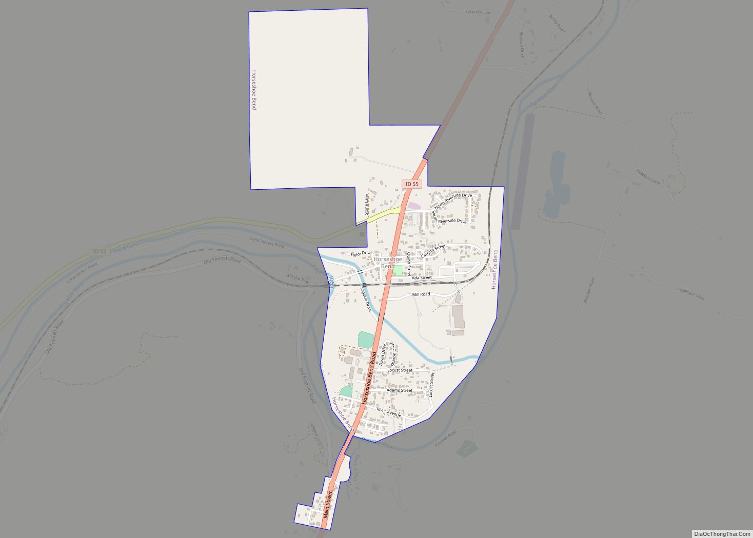
Online Interactive Map
Click on ![]() to view map in "full screen" mode.
to view map in "full screen" mode.
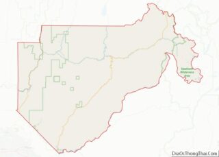
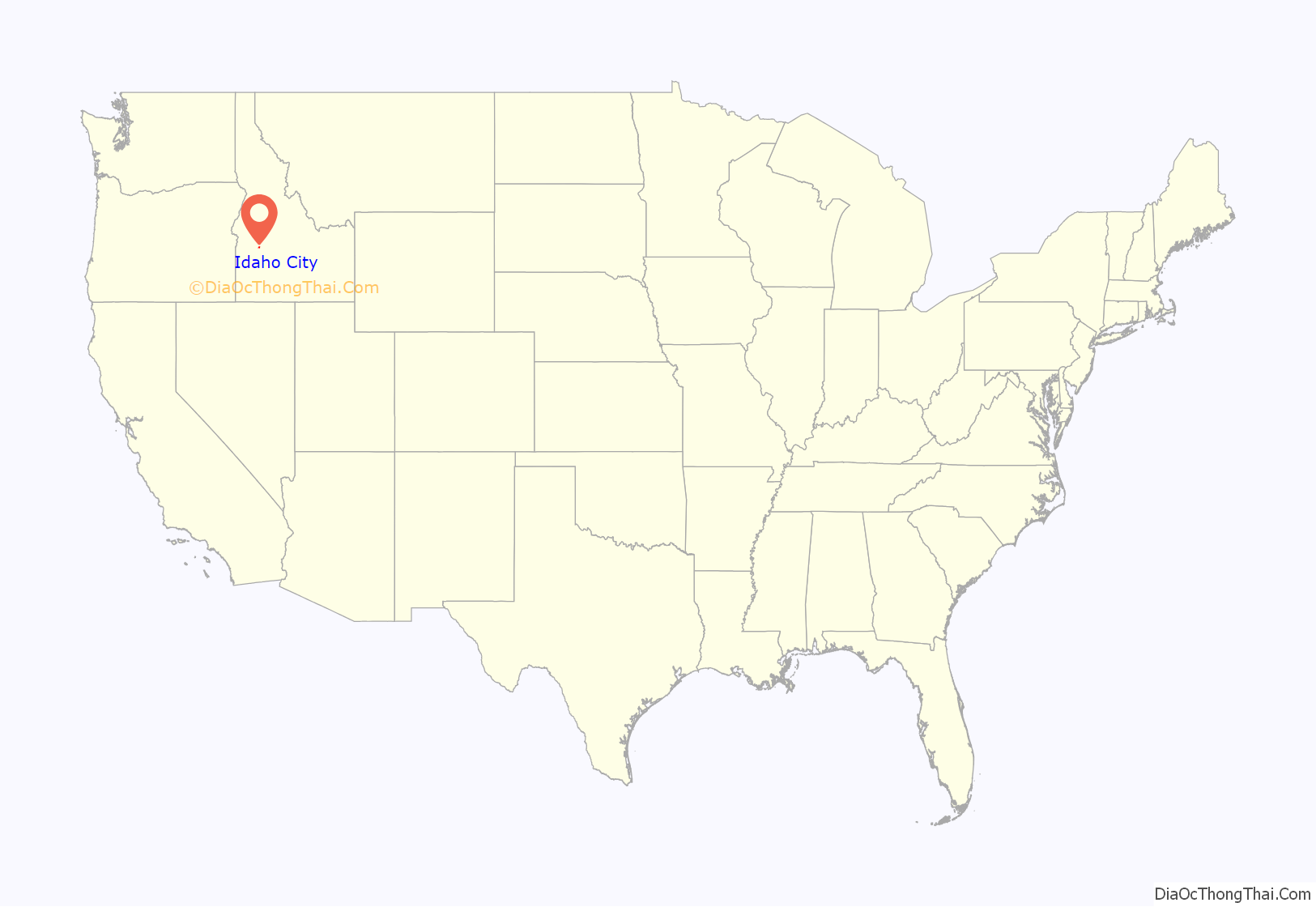
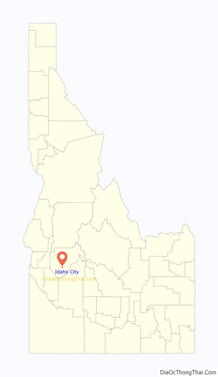
Idaho City location map. Where is Idaho City city?
History
Idaho City was founded in December 1862 as “Bannock” (sometimes given as “West Bannock”), amidst the Boise Basin gold rush during the Civil War, the largest since the California gold rush a dozen years earlier. Near the confluence of Elk and Mores Creeks, its plentiful water supply allowed it to outgrow the other nearby camps in the basin, such as Placerville, Pioneerville, and Centerville. As its population swelled, the new Idaho Territorial legislature changed the town’s name to “Idaho City,” to avoid confusion with Bannack, in present-day Beaverhead County, the southwestern corner of Montana.
At its peak during the mid-1860s, there were more than 200 businesses in town, including three dozen saloons and two dozen law offices. Its 1864 population of 7,000 made it the largest city in the Northwest, bigger than Portland. Wood was the prime source of both shelter and heat, which caused Idaho City to burn four times: 1865, 1867, 1868, and 1871. Five businesses on Main Street burned again in the early hours of June 5, 2015.
In 1863, St. Joseph’s Catholic Church was established; it was the first Catholic parish in the new Idaho Territory and the church was completed the following year.
Idaho City is an important location in local Masonic history. The Grand Lodge of Idaho was founded in Idaho City in 1867. Idaho Lodge No. 1 was originally located in Idaho City, but is now in Boise.
During the boom, the greater Boise Basin population numbered in the tens of thousands, but most departed the mountains once mining declined. Idaho City’s population fell below 900 by 1870 and was down to 104 by 1920. The modern economy relies mainly on hunting and fishing tourism, and visits to the many historic sites, including the Boot Hill Cemetery. Outside of town, the mining tailings of the era are ubiquitous.
Senator Frank Church announced his candidacy for the Democratic nomination for president from the porch of the county courthouse in Idaho City in March 1976. His grandfather had settled there in 1871 and his father was born there in 1889. Chase Clark, Church’s father-in-law, had announced his candidacy for governor in Idaho City in 1940.
Chinese
Four thousand Chinese people lived in the Idaho Territory from 1869 to 1875. Like many Chinese immigrants, they came to “Gold Mountain” to work as miners, or found work as laundrymen and cooks. The store of Pon Yam, a prominent Chinese businessman Pon Yam House from 1867 is one of the only remaining buildings from Idaho City’s Chinese. Although today Chinese are rarely seen except as tourists, the 1870 census reported at 1,751 Chinese who were nearly half of city residents. Annie Lee was one legendary Idaho city woman who like Polly Bemis, escaped from sexual slavery. She escaped from a member of the Yeong Wo Company in the 1870s to Boise to marry her lover, another Chinese man. Charged by her owner with grand larceny, she told a judge that she wanted to stay in Boise City. The judge subsequently granted her freedom.
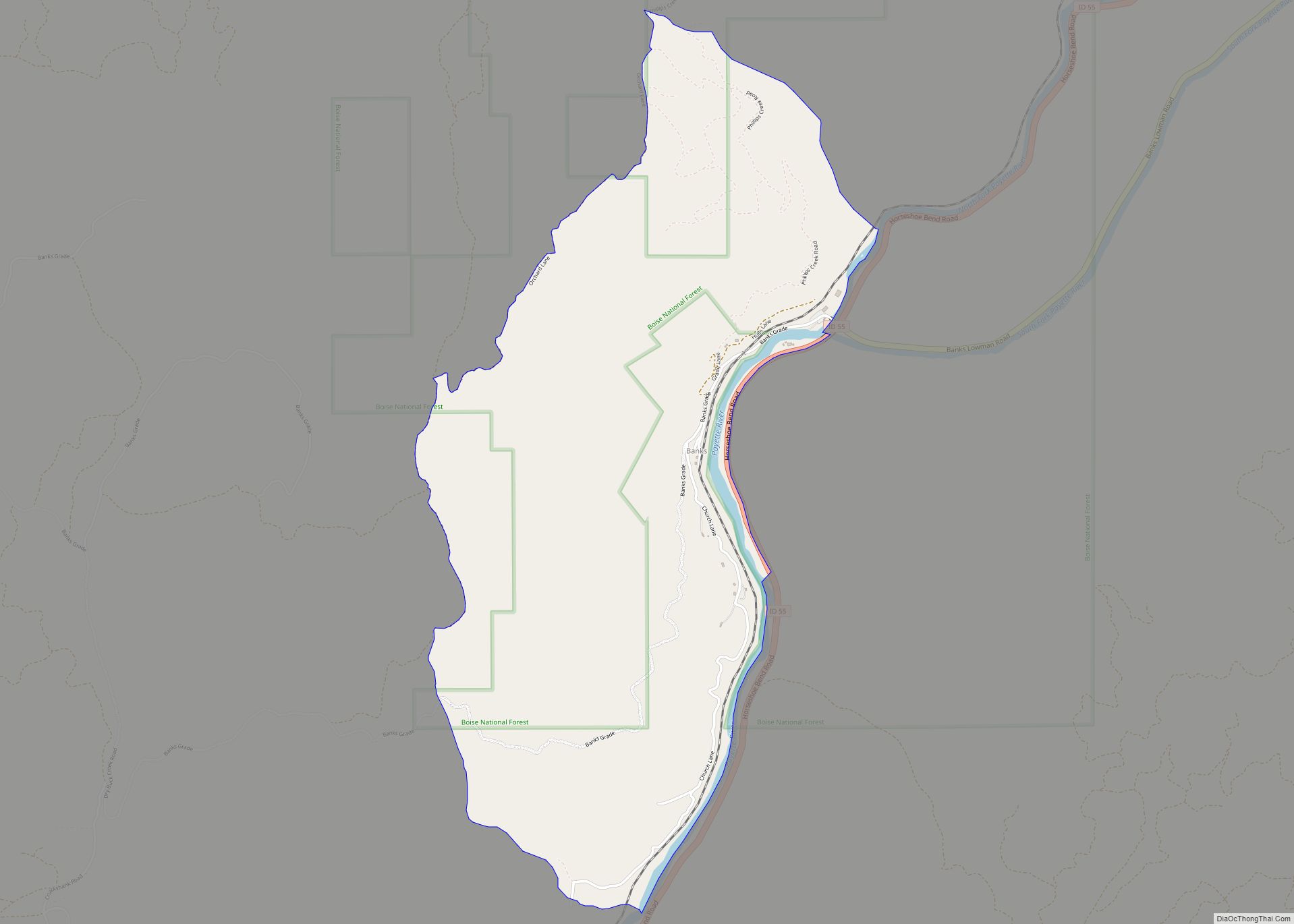
Idaho City Road Map
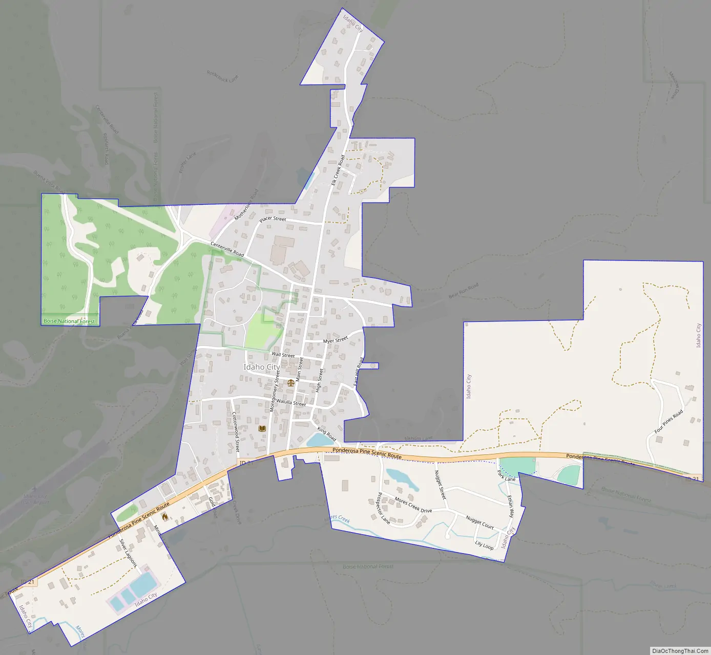
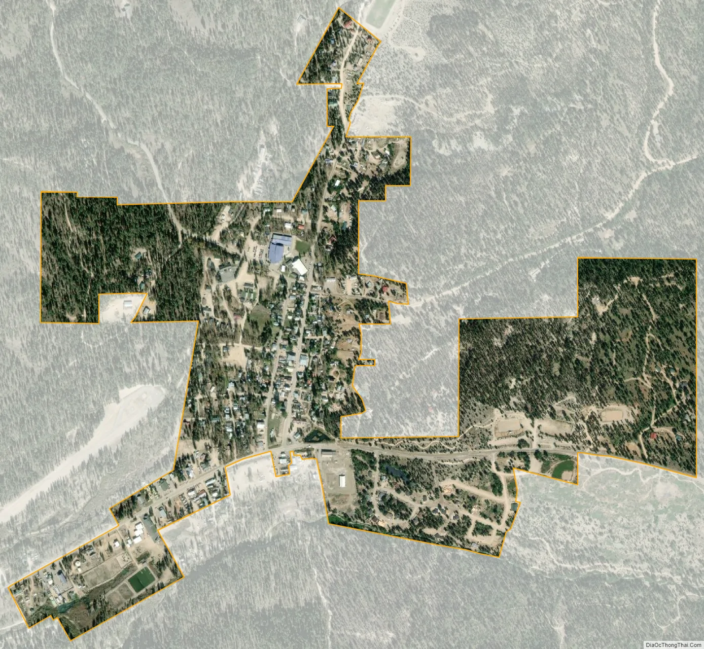
Idaho City city Satellite Map
Geography
Idaho City is located at 43°49′43″N 115°49′56″W / 43.82861°N 115.83222°W / 43.82861; -115.83222 (43.828513, -115.832175), at an elevation of 3,907 feet (1,191 m) above sea level.
According to the United States Census Bureau, the city has a total area of 0.67 square miles (1.74 km), all of it land.
Idaho City experiences a fairly typical Inland Northwest continental Mediterranean climate (Köppen Dsb) with cold, snowy winters and warm, dry summers, typified throughout by large diurnal temperature variations. The town averages 217 nights below 32 °F (0 °C) per year – as many as Fairbanks, Alaska and 100 more than nearby Boise – 24 days which fail to top freezing, and 14 nights that fall below 0 °F (−17.8 °C). Owing to its more exposed location and slightly higher altitude, it is not only noticeably cooler but also much wetter than Boise, receiving twice as much precipitation and almost four times as much snowfall, which averages 71.6 inches (181.9 cm) with a maximum daily snow cover of 46 inches (1.2 m) in January 1982.
See also
Map of Idaho State and its subdivision:- Ada
- Adams
- Bannock
- Bear Lake
- Benewah
- Bingham
- Blaine
- Boise
- Bonner
- Bonneville
- Boundary
- Butte
- Camas
- Canyon
- Caribou
- Cassia
- Clark
- Clearwater
- Custer
- Elmore
- Franklin
- Fremont
- Gem
- Gooding
- Idaho
- Jefferson
- Jerome
- Kootenai
- Latah
- Lemhi
- Lewis
- Lincoln
- Madison
- Minidoka
- Nez Perce
- Oneida
- Owyhee
- Payette
- Power
- Shoshone
- Teton
- Twin Falls
- Valley
- Washington
- Alabama
- Alaska
- Arizona
- Arkansas
- California
- Colorado
- Connecticut
- Delaware
- District of Columbia
- Florida
- Georgia
- Hawaii
- Idaho
- Illinois
- Indiana
- Iowa
- Kansas
- Kentucky
- Louisiana
- Maine
- Maryland
- Massachusetts
- Michigan
- Minnesota
- Mississippi
- Missouri
- Montana
- Nebraska
- Nevada
- New Hampshire
- New Jersey
- New Mexico
- New York
- North Carolina
- North Dakota
- Ohio
- Oklahoma
- Oregon
- Pennsylvania
- Rhode Island
- South Carolina
- South Dakota
- Tennessee
- Texas
- Utah
- Vermont
- Virginia
- Washington
- West Virginia
- Wisconsin
- Wyoming