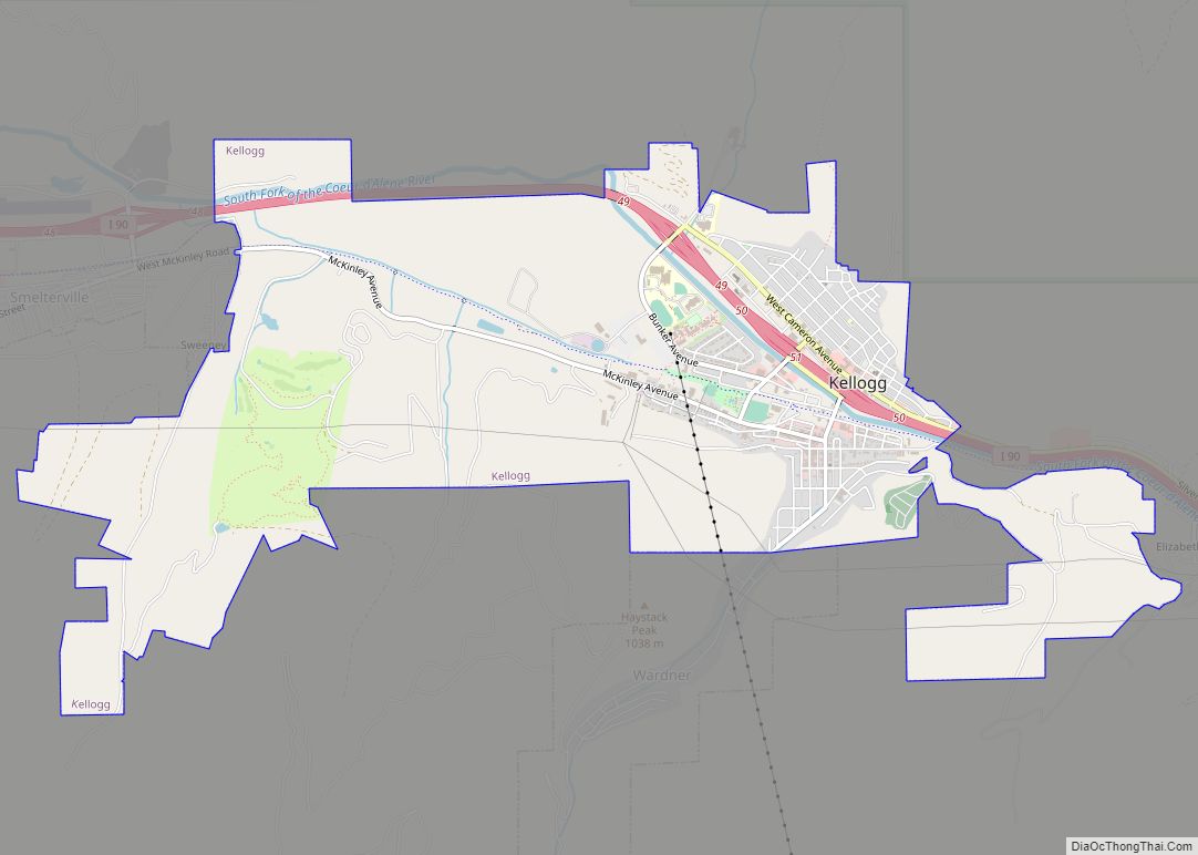
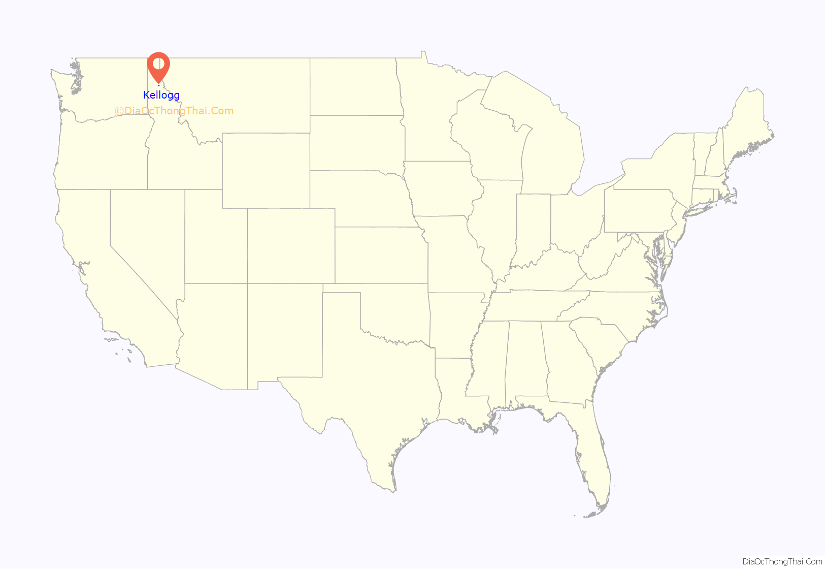
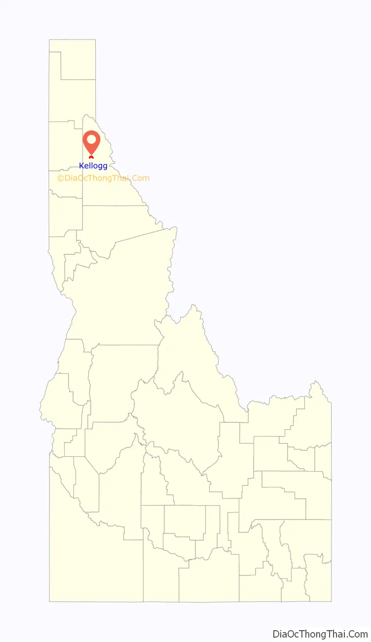
Kellogg is a city in the Silver Valley of Shoshone County, Idaho, United States, in the Idaho Panhandle region. The city lies near the Coeur d’Alene National Forest and about 36 miles (58 km) east-southeast of Coeur d’Alene along Interstate 90. As of the 2010 United States Census, the city had a total population of 2,120, down by a third from its population in 1980.
| Name: | Kellogg city |
|---|---|
| LSAD Code: | 25 |
| LSAD Description: | city (suffix) |
| State: | Idaho |
| County: | Shoshone County |
| Elevation: | 2,303 ft (702 m) |
| Total Area: | 4.01 sq mi (10.39 km²) |
| Land Area: | 3.97 sq mi (10.29 km²) |
| Water Area: | 0.04 sq mi (0.09 km²) |
| Total Population: | 2,120 |
| Population Density: | 537.49/sq mi (207.52/km²) |
| ZIP code: | 83837 |
| Area code: | 208, 986 |
| FIPS code: | 1642580 |
| GNISfeature ID: | 0396733 |
| Website: | kellogg.id.gov |
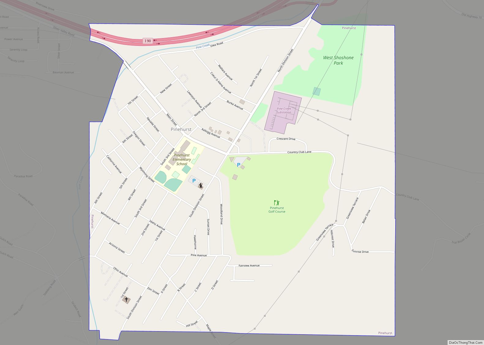
Online Interactive Map
Click on ![]() to view map in "full screen" mode.
to view map in "full screen" mode.
Kellogg location map. Where is Kellogg city?
History
Kellogg was incorporated in 1907. The city limits included mine property in 1955, and smelter property in 1956. The population in 1960 was about 6000.
Kellogg is named after a prospector named Noah Kellogg. After nearly a century of bustling activity in the mines, including a history of disputes between union miners and mine owners, the Bunker Hill Mine (& smelter) closed in 1981, leaving thousands out of work and a history of lead contamination. Other mines reduced operations, as well. Since the mines have closed, Kellogg has been moving more towards a resort town; the development of new condos, hotels, restaurants, shops, a water park, and a new golf course continues at the base of the Silver Mountain Gondola. Kellogg was featured in The New York Times travel section in 2008 as an up-and-coming resort town.
The Silver Mountain Resort is an alpine ski area which includes Kellogg Peak at 6,297 feet (1,919 m) and Wardner Peak (6,200 feet (1,890 m)) and is accessed by taking the world’s longest single-cabin gondola 3.1 miles (5.0 km) from the city of Kellogg to the lodge at 5,700 feet (1,737 m) on Kellogg Mountain. The gondola began service 33 years ago in 1990.
Sunshine Mine
In May 1972, the Sunshine Mine of Kellogg was the site of one of the worst U.S. mining accidents, resulting in the deaths of 91 miners; as a result, every miner in the U.S. now carries a “self-rescuer” (a breathing apparatus made with hopcalite and much simpler than a SCBA), which gives the miner a chance to avoid death due to carbon monoxide poisoning. Eight days after the fire started, two men emerged from the mine. They were found on the 4800 ft (1463 m) level of the mine near a fresh air source. All others trapped in the mine had died.
Sunshine Mine remained open until February 16, 2001, producing 360 million troy ounces (11,000,000 kg) of silver. As of 2005 Sterling Mining has plans to continue exploration and development of the mine, exercising an option the company purchased in 2003.
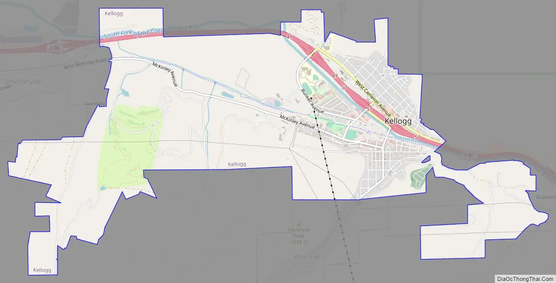
Kellogg Road Map
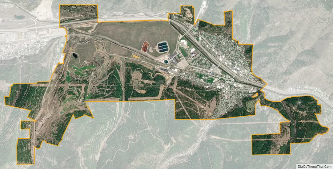
Kellogg city Satellite Map
Geography
Kellogg is located at 47°32′18″N 116°07′31″W / 47.53833°N 116.12528°W / 47.53833; -116.12528 (47.538391, -116.125406), at an elevation of 2,303 feet (702 m) above sea level.
According to the United States Census Bureau, the city has a total area of 4.01 square miles (10.39 km), of which 3.96 square miles (10.26 km) is land and 0.05 square miles (0.13 km) is water.
See also
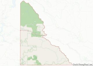
Map of Idaho State and its subdivision:- Ada
- Adams
- Bannock
- Bear Lake
- Benewah
- Bingham
- Blaine
- Boise
- Bonner
- Bonneville
- Boundary
- Butte
- Camas
- Canyon
- Caribou
- Cassia
- Clark
- Clearwater
- Custer
- Elmore
- Franklin
- Fremont
- Gem
- Gooding
- Idaho
- Jefferson
- Jerome
- Kootenai
- Latah
- Lemhi
- Lewis
- Lincoln
- Madison
- Minidoka
- Nez Perce
- Oneida
- Owyhee
- Payette
- Power
- Shoshone
- Teton
- Twin Falls
- Valley
- Washington
- Alabama
- Alaska
- Arizona
- Arkansas
- California
- Colorado
- Connecticut
- Delaware
- District of Columbia
- Florida
- Georgia
- Hawaii
- Idaho
- Illinois
- Indiana
- Iowa
- Kansas
- Kentucky
- Louisiana
- Maine
- Maryland
- Massachusetts
- Michigan
- Minnesota
- Mississippi
- Missouri
- Montana
- Nebraska
- Nevada
- New Hampshire
- New Jersey
- New Mexico
- New York
- North Carolina
- North Dakota
- Ohio
- Oklahoma
- Oregon
- Pennsylvania
- Rhode Island
- South Carolina
- South Dakota
- Tennessee
- Texas
- Utah
- Vermont
- Virginia
- Washington
- West Virginia
- Wisconsin
- Wyoming