Map of Vergennes village

Map of Vergennes village, Illinois

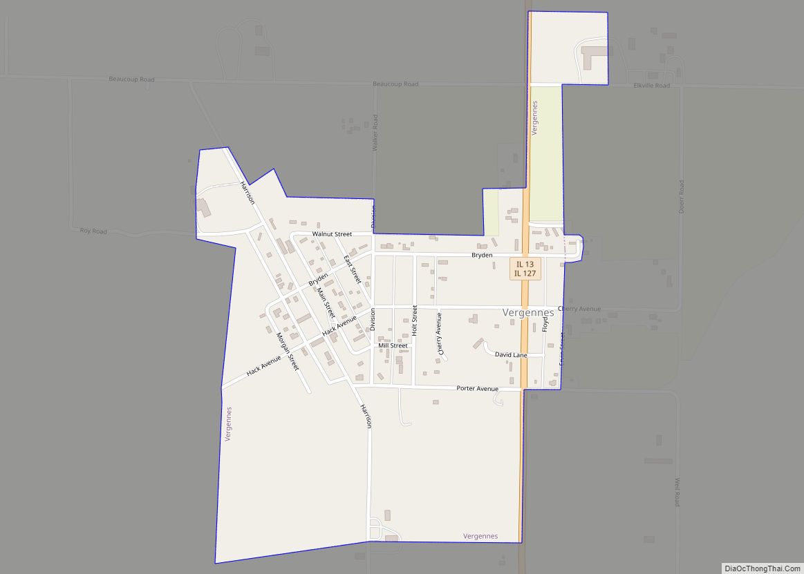
Vergennes is a village in Jackson County, Illinois, United States. The population was 298 at the 2010 census, down from 491 at the 2000 census. On February 28, 2017, a strong tornado, possibly the same as the one that struck Perryville, Missouri, narrowly missed the center of town, though no fatalities occurred. Vergennes village overview: … Read more

Map of Vernon Hills village

Map of Vernon Hills village

Vernon Hills is a suburb north of Chicago, Illinois in Lake County, Illinois, United States. The population was 26,850 at the 2020 census. Vernon Hills serves as a retail hub for its surrounding area (Libertyville, Lake Forest, Mundelein, Long Grove, Lincolnshire and Buffalo Grove). Vernon Hills village overview: Name: Vernon Hills village LSAD Code: 47 … Read more

Map of Vermont village

Map of Vermont village

Vermont is a village in Fulton County, Illinois, United States. The population was 667 at the 2010 census, down from 792 at the 2000 census. Vermont village overview: Name: Vermont village LSAD Code: 47 LSAD Description: village (suffix) State: Illinois County: Fulton County Elevation: 689 ft (210 m) Total Area: 1.26 sq mi (3.26 km²) Land Area: 1.26 sq mi (3.26 km²) Water … Read more

Map of Verona village

Map of Verona village, Illinois

Verona is a village in Grundy County, Illinois. The population was 215 at the 2010 census. The community was established circa 1876 by George D. Smith as a station on the Chicago, Pekin and Southwestern Railroad. Smith named the town for his birthplace Verona, New York. Verona village overview: Name: Verona village LSAD Code: 47 … Read more

Map of Vernon village, Illinois

Map of Vernon village, Illinois

Vernon is a village in Marion County, Illinois, United States. The population was 103 at the 2020 census. Vernon village overview: Name: Vernon village LSAD Code: 47 LSAD Description: village (suffix) State: Illinois County: Marion County Elevation: 515 ft (157 m) Total Area: 0.88 sq mi (2.28 km²) Land Area: 0.88 sq mi (2.28 km²) Water Area: 0.00 sq mi (0.00 km²) Total Population: 103 Population … Read more

Map of Victoria village, Illinois

Map of Victoria village, Illinois

Victoria is a village in Knox County, Illinois, United States. The population was 316 at the 2010 census. It is part of the Galesburg Micropolitan Statistical Area. Victoria village overview: Name: Victoria village LSAD Code: 47 LSAD Description: village (suffix) State: Illinois County: Knox County Elevation: 810 ft (250 m) Total Area: 0.45 sq mi (1.17 km²) Land Area: 0.45 sq mi … Read more

Map of Versailles village

Map of Versailles village, Illinois

Versailles is a village in Brown County, Illinois, United States. The population was 446 at the 2020 census. The village’s name is pronounced differently from the French city of the same name: /vərˈseɪlz/ (listen) vər-SAYLZ. Versailles village overview: Name: Versailles village LSAD Code: 47 LSAD Description: village (suffix) State: Illinois County: Brown County Elevation: 610 ft … Read more

Map of Villa Grove city

Map of Villa Grove city

Villa Grove is a city in Douglas County, Illinois, along the Embarras River. The population was 2,472 at the 2020 census. Villa Grove city overview: Name: Villa Grove city LSAD Code: 25 LSAD Description: city (suffix) State: Illinois County: Douglas County Founded: 1903 Elevation: 646 ft (197 m) Total Area: 1.51 sq mi (3.91 km²) Land Area: 1.50 sq mi (3.89 km²) Water … Read more

Map of Vienna city, Illinois

Map of Vienna city, Illinois

Vienna (/vaɪˈænə/ vy-AN-ə) is a city in and the county seat of Johnson County, Illinois, United States, and it is the site of two well-known state penitentiaries. The population of Vienna was 1,434 at the 2010 census. Vienna city overview: Name: Vienna city LSAD Code: 25 LSAD Description: city (suffix) State: Illinois County: Johnson County … Read more

Map of Viola village, Illinois

Map of Viola village, Illinois

Viola (pronounced vy-OLA) is a village in Mercer County, Illinois, United States. The population was 869 at the 2020 census, a decline of 9 percent from 955 in 2010. Viola village overview: Name: Viola village LSAD Code: 47 LSAD Description: village (suffix) State: Illinois County: Mercer County Elevation: 795 ft (242 m) Total Area: 0.85 sq mi (2.21 km²) Land … Read more

Map of Villa Park village, Illinois

Map of Villa Park village, Illinois

Villa Park is a village in DuPage County, Illinois, United States, within the Chicago metropolitan area. The population as of the 2020 Census is 21,113. Villa Park is a western suburb of Chicago. Villa Park village overview: Name: Villa Park village LSAD Code: 47 LSAD Description: village (suffix) State: Illinois County: DuPage County Incorporated: 1914 … Read more

Map of Virgil village

Map of Virgil village, Illinois

Virgil is a village in Virgil Township, Kane County, Illinois, United States. It was incorporated on November 6, 1990. The population was 329 at the 2010 census, up from 266 in 2000. Virgil village overview: Name: Virgil village LSAD Code: 47 LSAD Description: village (suffix) State: Illinois County: Kane County Incorporated: 1990 (1990) Elevation: 866 ft (264 m) … Read more