Vienna (/vaɪˈænə/ vy-AN-ə) is a city in and the county seat of Johnson County, Illinois, United States, and it is the site of two well-known state penitentiaries. The population of Vienna was 1,434 at the 2010 census.
| Name: | Vienna city |
|---|---|
| LSAD Code: | 25 |
| LSAD Description: | city (suffix) |
| State: | Illinois |
| County: | Johnson County |
| Elevation: | 364 ft (111 m) |
| Total Area: | 2.87 sq mi (7.44 km²) |
| Land Area: | 2.84 sq mi (7.35 km²) |
| Water Area: | 0.04 sq mi (0.10 km²) |
| Total Population: | 1,343 |
| Population Density: | 473.39/sq mi (182.80/km²) |
| Area code: | 618 |
| FIPS code: | 1777863 |
| GNISfeature ID: | 2397137 |
| Website: | www.cityofviennail.net |
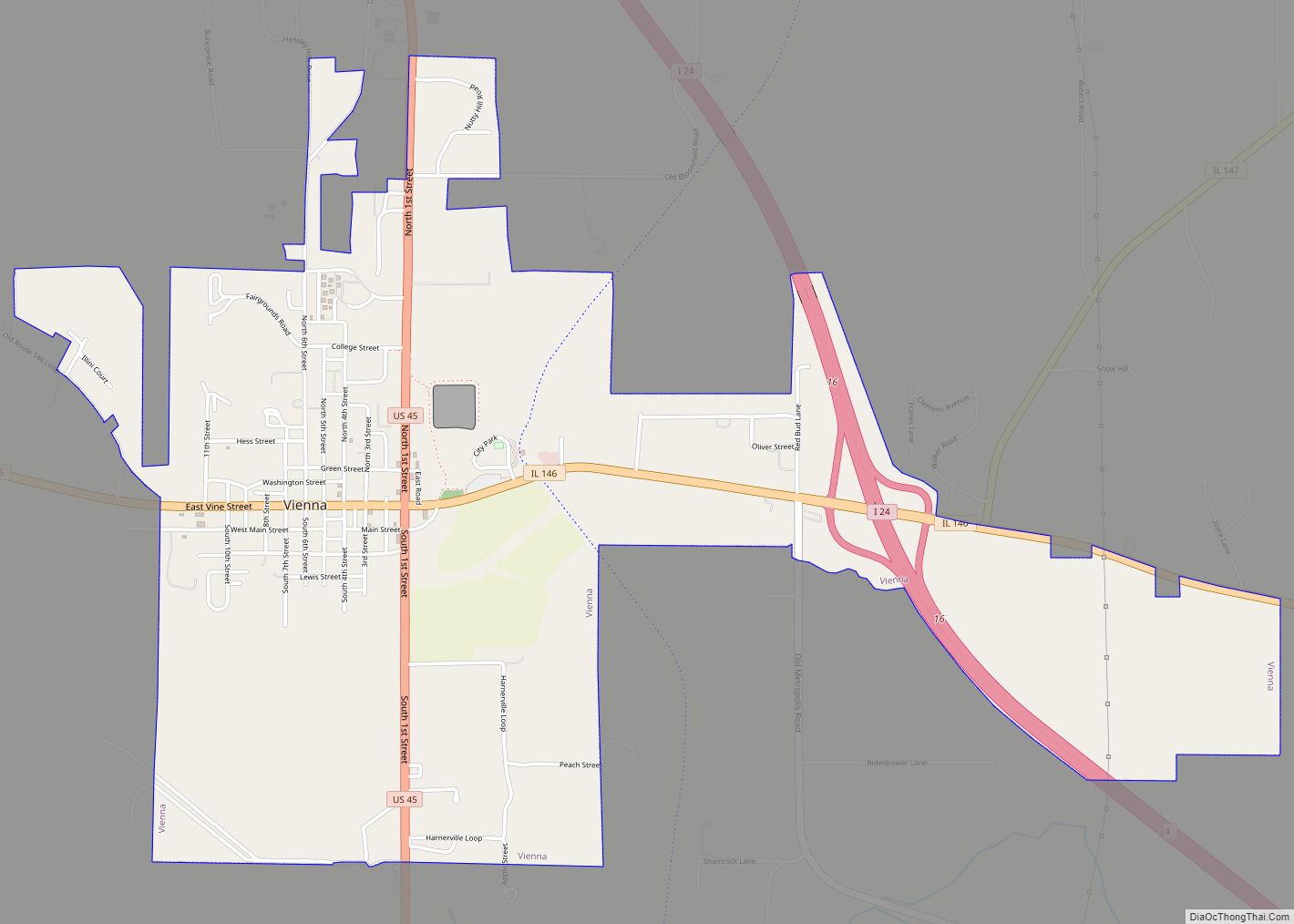
Online Interactive Map
Click on ![]() to view map in "full screen" mode.
to view map in "full screen" mode.
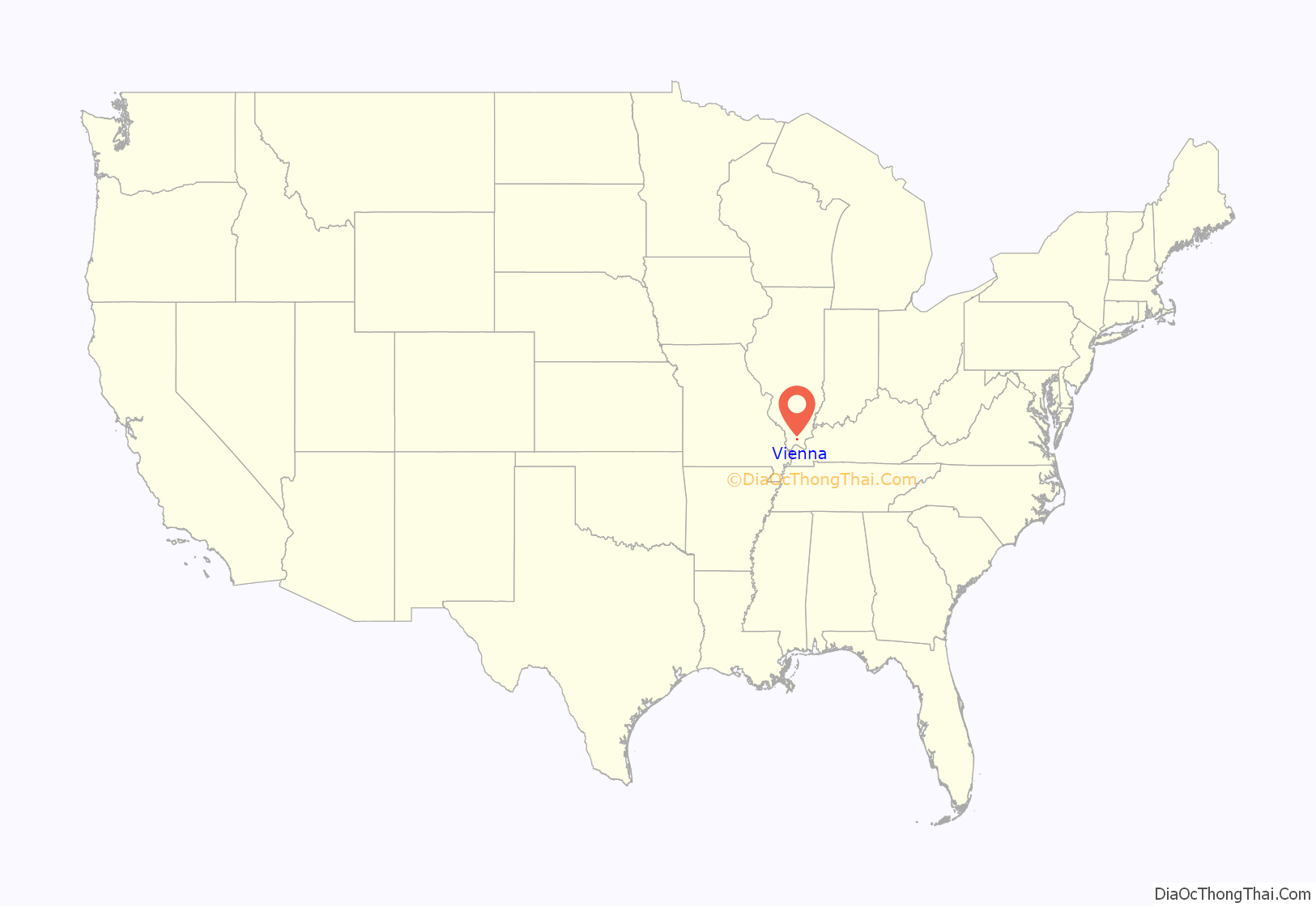
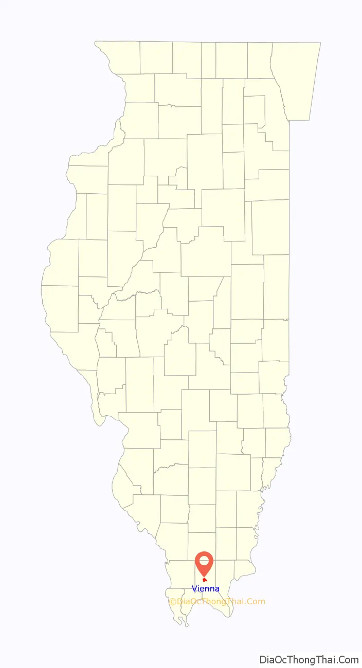
Vienna location map. Where is Vienna city?
History
Vienna was originally an Indian trading post in the early 1800s, the forming of Vienna far preceded the rise of the railroad and coal industries in the region. Platted as early as 1818 – the same year Illinois became a state – and named the county seat, Vienna was incorporated as a village in 1837 and then as a city in 1893. It has served as the county seat for close to 200 years. In fact, the first post office opened in 1821 before the town was ever incorporated. Vienna is also one of the settlements tens of thousands of Native Americans were forced to pass through in 1830 en route to Oklahoma where they were relocated by the U.S. government. That forced migration westward came to be known as the Trail of Tears due to the brutal conditions that the Native Americans faced. Having to walk barefoot in the middle of winter, thousands died by order of the U.S. government. The Johnson County Courthouse was built in 1868 and is one of the oldest active courthouses in the state. Total cost of the project 140 years ago was a little more than $80,000 (approximately $1.5 million in 2021).
Vienna Road Map
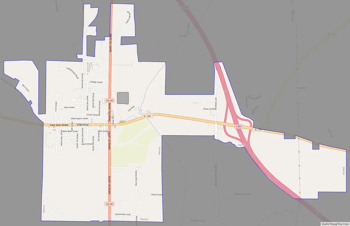
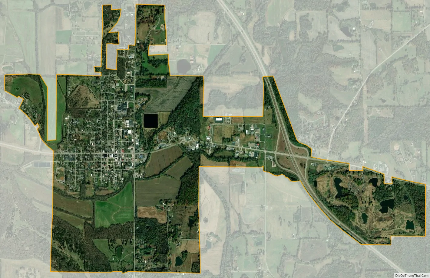
Vienna city Satellite Map
Geography
Vienna is located at 37°24′58″N 88°53′39″W / 37.41611°N 88.89417°W / 37.41611; -88.89417 (37.416103, -88.894268).
According to the 2010 census, Vienna has a total area of 2.887 square miles (7.48 km), of which 2.85 square miles (7.38 km) (or 98.72%) is land and 0.037 square miles (0.10 km) (or 1.28%) is water.
See also
Map of Illinois State and its subdivision:- Adams
- Alexander
- Bond
- Boone
- Brown
- Bureau
- Calhoun
- Carroll
- Cass
- Champaign
- Christian
- Clark
- Clay
- Clinton
- Coles
- Cook
- Crawford
- Cumberland
- De Kalb
- De Witt
- Douglas
- Dupage
- Edgar
- Edwards
- Effingham
- Fayette
- Ford
- Franklin
- Fulton
- Gallatin
- Greene
- Grundy
- Hamilton
- Hancock
- Hardin
- Henderson
- Henry
- Iroquois
- Jackson
- Jasper
- Jefferson
- Jersey
- Jo Daviess
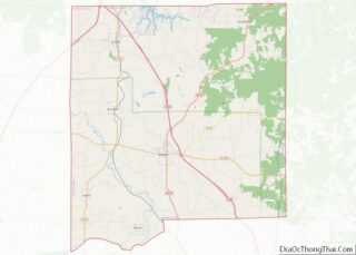
- Johnson
- Kane
- Kankakee
- Kendall
- Knox
- La Salle
- Lake
- Lake Michigan
- Lawrence
- Lee
- Livingston
- Logan
- Macon
- Macoupin
- Madison
- Marion
- Marshall
- Mason
- Massac
- McDonough
- McHenry
- McLean
- Menard
- Mercer
- Monroe
- Montgomery
- Morgan
- Moultrie
- Ogle
- Peoria
- Perry
- Piatt
- Pike
- Pope
- Pulaski
- Putnam
- Randolph
- Richland
- Rock Island
- Saint Clair
- Saline
- Sangamon
- Schuyler
- Scott
- Shelby
- Stark
- Stephenson
- Tazewell
- Union
- Vermilion
- Wabash
- Warren
- Washington
- Wayne
- White
- Whiteside
- Will
- Williamson
- Winnebago
- Woodford
- Alabama
- Alaska
- Arizona
- Arkansas
- California
- Colorado
- Connecticut
- Delaware
- District of Columbia
- Florida
- Georgia
- Hawaii
- Idaho
- Illinois
- Indiana
- Iowa
- Kansas
- Kentucky
- Louisiana
- Maine
- Maryland
- Massachusetts
- Michigan
- Minnesota
- Mississippi
- Missouri
- Montana
- Nebraska
- Nevada
- New Hampshire
- New Jersey
- New Mexico
- New York
- North Carolina
- North Dakota
- Ohio
- Oklahoma
- Oregon
- Pennsylvania
- Rhode Island
- South Carolina
- South Dakota
- Tennessee
- Texas
- Utah
- Vermont
- Virginia
- Washington
- West Virginia
- Wisconsin
- Wyoming