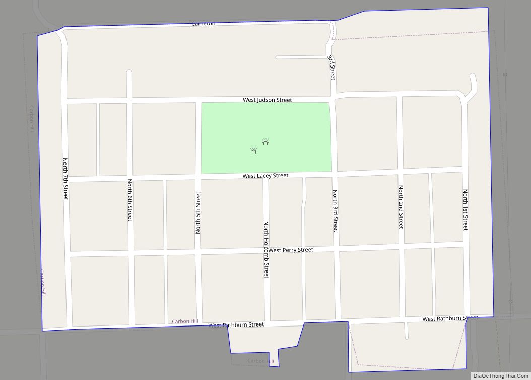
Carbon Hill is a village in Grundy County, Illinois, United States. The population was 372 at the 2020 census. Carbon Hill village overview: Name: Carbon Hill village LSAD Code: 47 LSAD Description: village (suffix) State: Illinois County: Grundy County Total Area: 0.18 sq mi (0.47 km²) Land Area: 0.18 sq mi (0.47 km²) Water Area: 0.00 sq mi (0.00 km²) Total Population: 372 Population ... Read more
Illinois Cities and Places
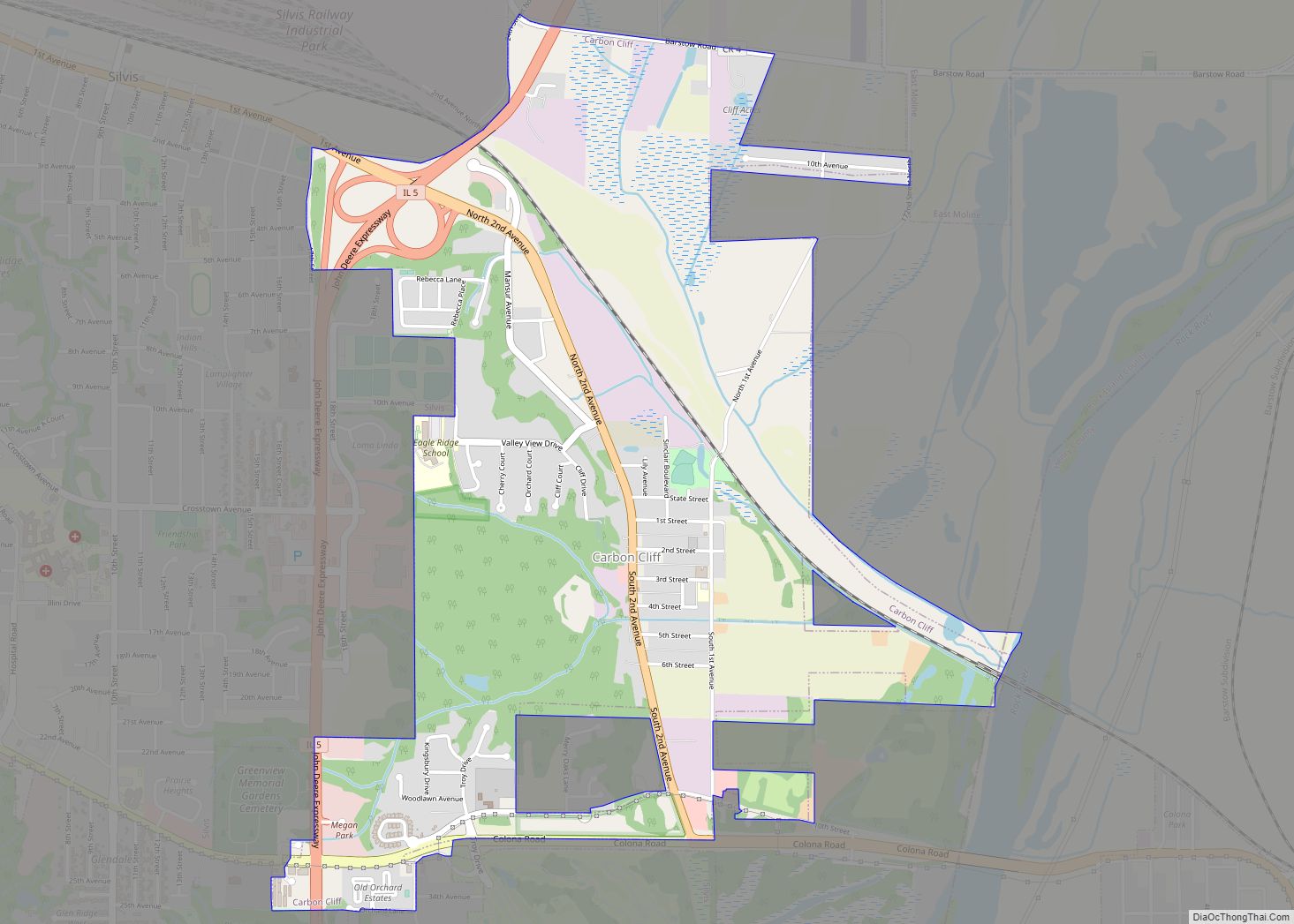
Carbon Cliff is a village in Rock Island County, Illinois, United States. The population was 2,134 at the 2010 census. It lies in the south part of Hampton Township. Carbon Cliff village overview: Name: Carbon Cliff village LSAD Code: 47 LSAD Description: village (suffix) State: Illinois County: Rock Island County Total Area: 2.10 sq mi (5.43 km²) Land ... Read more
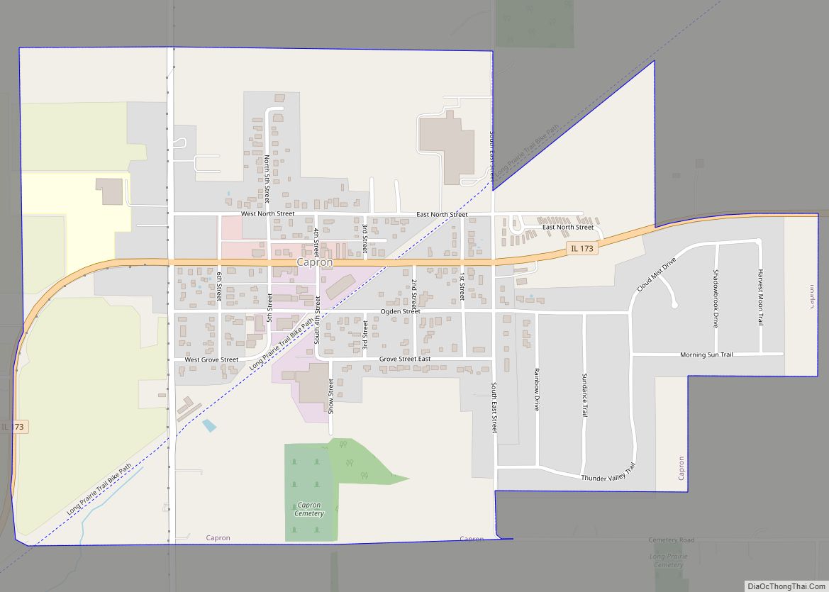
Capron is a village in Boone County, Illinois, United States. It is part of the Rockford, Illinois Metropolitan Statistical Area. The population was 1395 at the 2020 census, up from 1,376 at the 2010 census. Capron village overview: Name: Capron village LSAD Code: 47 LSAD Description: village (suffix) State: Illinois County: Boone County Total Area: ... Read more
Cantrall is a village in Sangamon County, Illinois, United States. The population was 139 at the 2000 census. It is part of the Springfield, Illinois Metropolitan Statistical Area. Cantrall village overview: Name: Cantrall village LSAD Code: 47 LSAD Description: village (suffix) State: Illinois County: Sangamon County Elevation: 591 ft (180 m) Total Area: 0.25 sq mi (0.65 km²) Land Area: ... Read more
Canton is the largest city in Fulton County, Illinois, United States. The population was 14,704 at the 2010 census, down from 15,288 as of the 2000 census. The Canton Micropolitan Statistical Area covers all of Fulton County; it is in turn, part of the wider Peoria-Canton, IL Combined Statistical Area (CSA). Canton city overview: Name: ... Read more
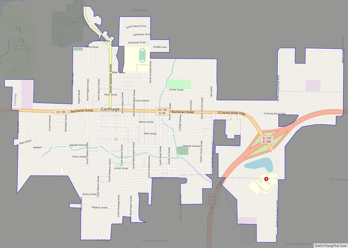
Carthage is a city in and the county seat of Hancock County, Illinois, United States. Its population was 2,490 as of the 2020 census. Carthage is best known for being the site of the 1844 death of Joseph Smith, who founded the Latter Day Saint movement. Carthage city overview: Name: Carthage city LSAD Code: 25 ... Read more
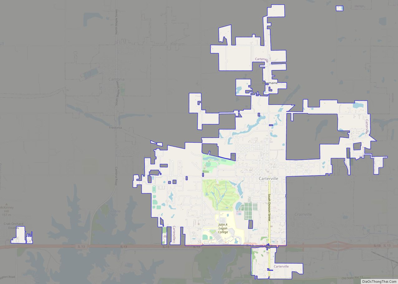
Carterville is a city in Williamson County, Illinois, United States. At the 2020 census, the city’s population was 5,848. The city is part of the Carbondale-Marion-Herrin combined statistical area and has grown considerably as a residential community of Carbondale and Marion. The city is located next to Crab Orchard National Wildlife Refuge. The Refuge’s 44,000 ... Read more
Carrollton is a city in and the county seat of Greene County, Illinois, United States. The population was 2,484 as of the 2010 census. Carrollton city overview: Name: Carrollton city LSAD Code: 25 LSAD Description: city (suffix) State: Illinois County: Greene County Elevation: 607 ft (185 m) Total Area: 1.90 sq mi (4.93 km²) Land Area: 1.90 sq mi (4.93 km²) Water Area: ... Read more
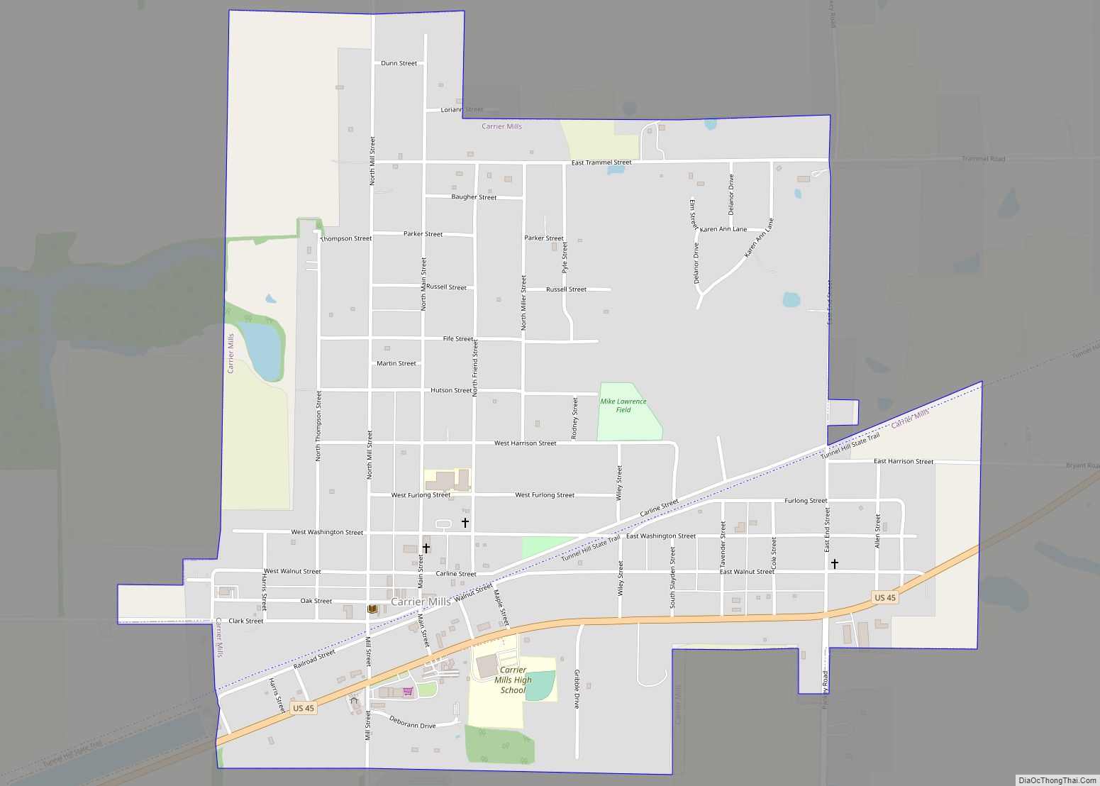
Carrier Mills, formerly Carrier’s Mills and Morrilsville, also known as Catskin, is a village in Saline County, Illinois, United States. The population was 1,672 at the 2020 census. Carrier Mills was named after George Washington Carrier’s saw and grist mills, and was one of the early Cairo and Vincennes Railroad boomtowns. Founded as a mill ... Read more
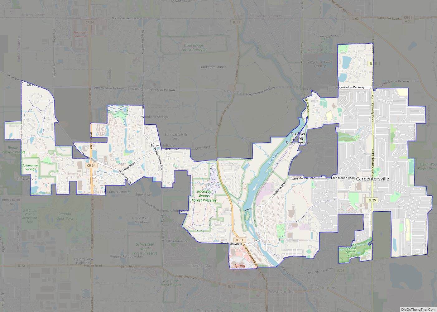
Carpentersville is a village in Kane County, Illinois, United States. The population was 37,983 at the 2020 census. Carpentersville village overview: Name: Carpentersville village LSAD Code: 47 LSAD Description: village (suffix) State: Illinois County: Kane County Total Area: 8.08 sq mi (20.93 km²) Land Area: 7.87 sq mi (20.39 km²) Water Area: 0.21 sq mi (0.54 km²) Total Population: 37,983 Population Density: 4,824.46/sq mi (1,862.82/km²) ... Read more
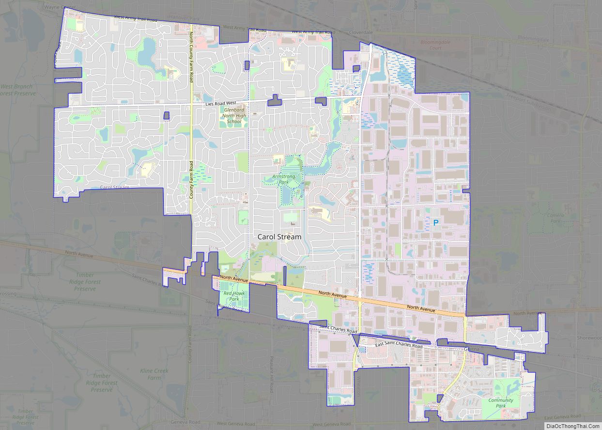
Carol Stream is a village in DuPage County, Illinois, United States, and a suburb of Chicago. Carol Stream was incorporated on January 5, 1959, and named after its founder’s daughter. Per the 2020 census, the population was 39,854. Carol Stream village overview: Name: Carol Stream village LSAD Code: 47 LSAD Description: village (suffix) State: Illinois ... Read more
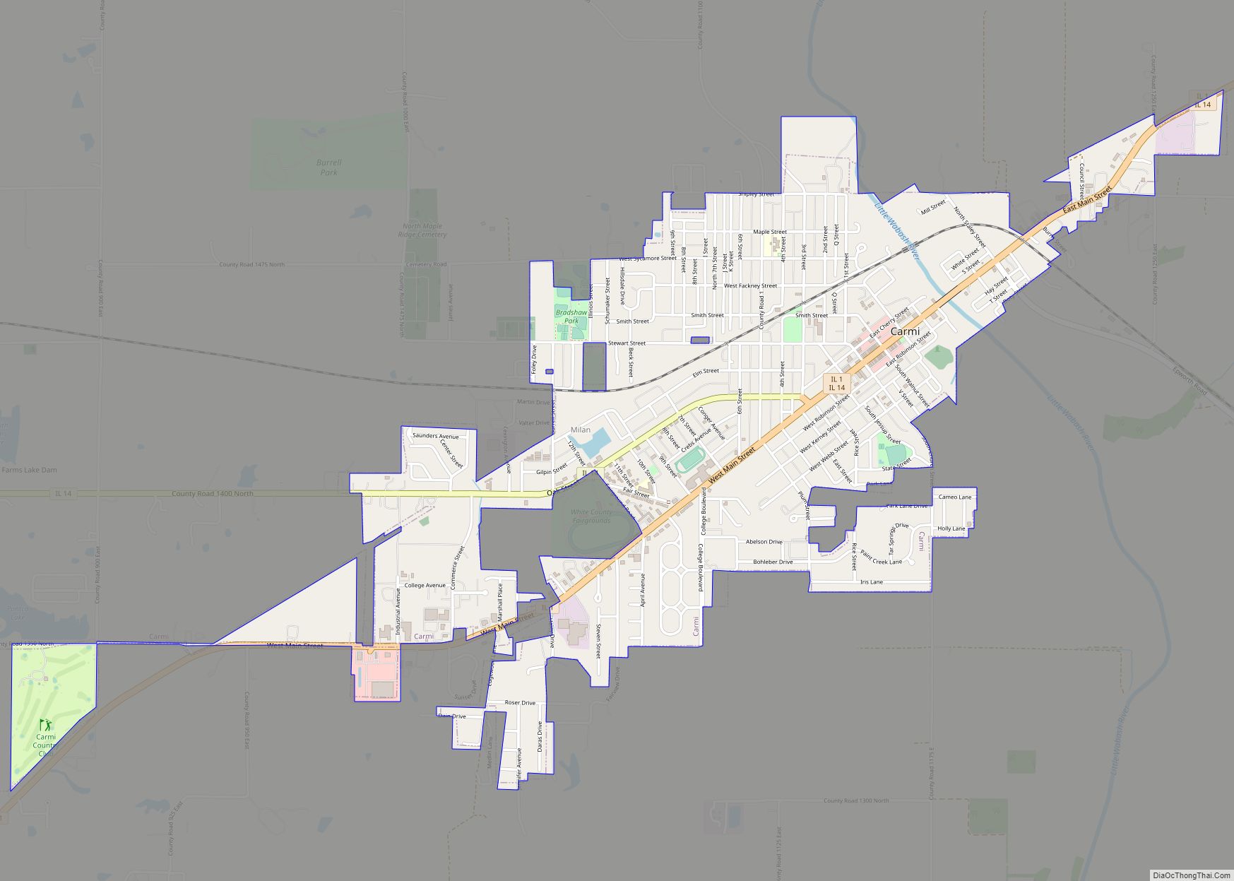
Carmi is a city in and the county seat of White County, Illinois, United States, along the Little Wabash River, where the population was 5,240 at the 2010 census. Carmi city overview: Name: Carmi city LSAD Code: 25 LSAD Description: city (suffix) State: Illinois County: White County Founded: 1816 Elevation: 390 ft (120 m) Total Area: 2.62 sq mi ... Read more
