Carbondale is a city in Jackson County, Illinois, United States, within the Southern Illinois region informally known as “Little Egypt”. The city developed from 1853 because of the stimulation of railroad construction into the area. Today, the major roadways of Illinois Route 13 and U.S. Route 51 intersect in the city. The city is 96 miles (154 km) southeast of St. Louis, on the northern edge of the Shawnee National Forest. Carbondale is the home of the main campus of Southern Illinois University (SIU).
As of the 2020 census, the city had a population of 25,083, making it the most populous city in Southern Illinois outside the St. Louis Metro-East region.
| Name: | Carbondale city |
|---|---|
| LSAD Code: | 25 |
| LSAD Description: | city (suffix) |
| State: | Illinois |
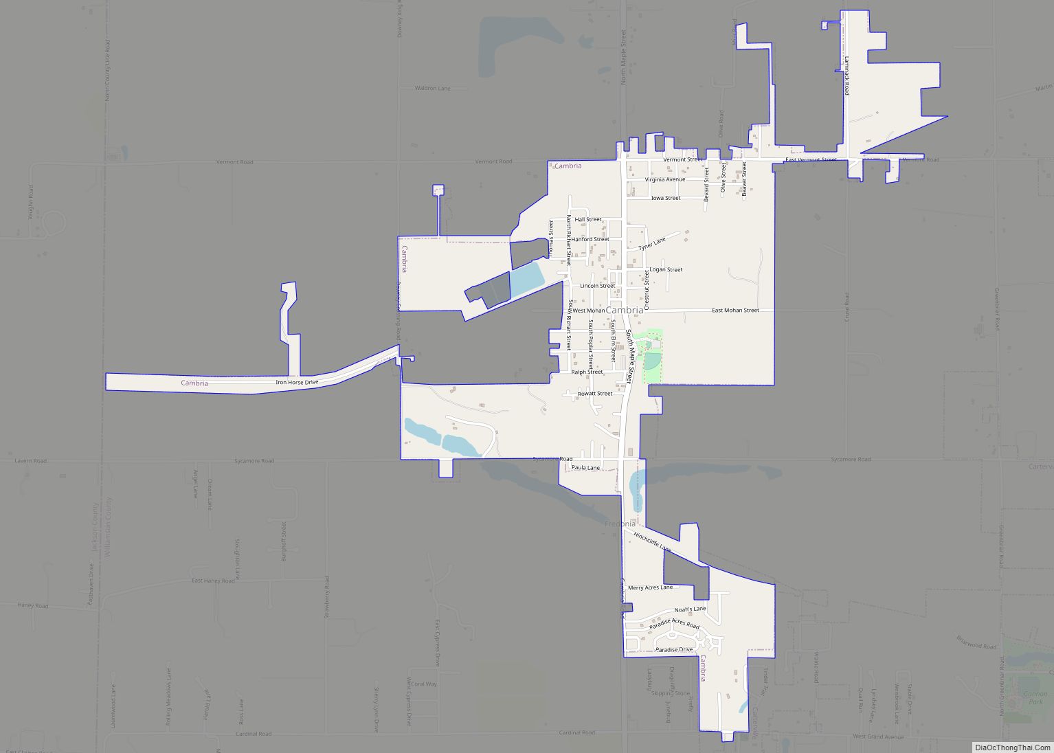
| County: | Jackson County, Williamson County |
| Founded: | 1852 |
| Elevation: | 449 ft (137 m) |
| Total Area: | 17.86 sq mi (46.25 km²) |
| Land Area: | 17.42 sq mi (45.13 km²) |
| Water Area: | 0.43 sq mi (1.13 km²) |
| Total Population: | 25,083 |
| Population Density: | 1,254.49/sq mi (484.36/km²) |
| Area code: | 618 |
| FIPS code: | 1711163 |
| GNISfeature ID: | 2393739 |
| Website: | www.explorecarbondale.com |
Online Interactive Map
Click on ![]() to view map in "full screen" mode.
to view map in "full screen" mode.
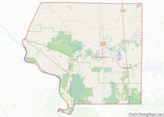
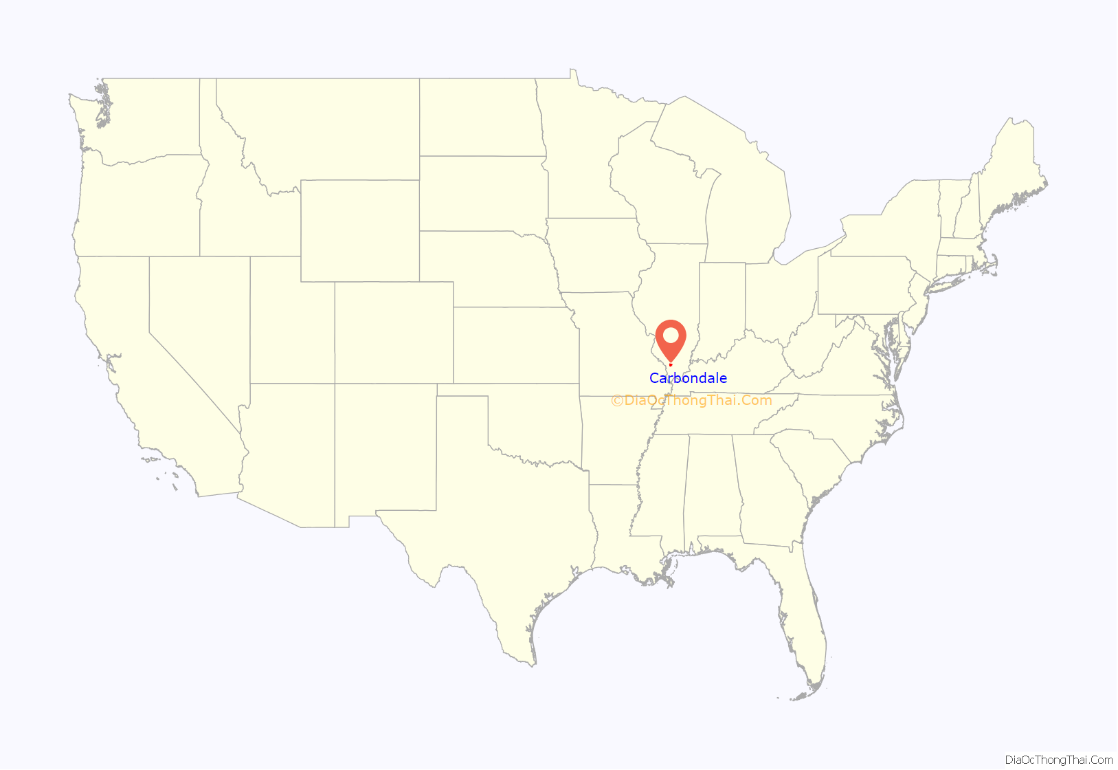
Carbondale location map. Where is Carbondale city?
History
In August 1853, Daniel Harmon Brush, John Asgill Conner, and Dr. William Richart bought a 360-acre (1.5 km) parcel of land between two proposed railroad station sites (Makanda and De Soto) and two county seats (Murphysboro and Marion). Brush named Carbondale for the large deposit of coal in the area. The first train through Carbondale arrived on Independence Day 1854, traveling north on the main line from Cairo, Illinois.
By the time of the American Civil War, Carbondale had developed as a regional center for transportation and business, surrounded by agricultural development. This part of Illinois was known as “Little Egypt” because of the confluence of the Ohio and Mississippi rivers, where the town of Cairo is located.
The city has had a college since 1856 beginning with the Presbyterian-founded Carbondale College which was later converted to an elementary school. Carbondale also won the bid for the new state teacher training school for the region, and Southern Illinois Normal University opened in 1874. This gave the town new industry, new citizens, and a supplement to public schools. In 1947, the name was changed to Southern Illinois University (SIU). It has become the flagship of the Southern Illinois University system. This institution, now recognized as a national research university, has nearly 18,000 students enrolled (as of 2014) and offers a wide variety of undergraduate and graduate specialties.
On April 29, 1866, one of the first formal Memorial Day observations following the Civil War was held at the city’s Woodlawn Cemetery. Local resident, General John A. Logan, gave the principal address. Logan, as co-founder of the Civil War veteran’s group the “Grand Army of the Republic”, issued General Order #11 on March 3, 1868, calling for a national day of remembrance for Civil War dead. This order served as the basis for the creation of a formal Memorial Day. Logan called observance day “Decoration Day” and proposed it for May 30, to assure flowers would be in bloom nationwide.
In the early 20th century, Carbondale was known as the “Athens of Egypt,” due to the expansion of the college and university, and the region’s moniker of “Little Egypt.” The phrase dates to at least 1903, when it appeared in a local paper. By 1922, the Carbondale Free Press was using the phrase on its flag.
On November 12, 1970, a largescale shootout occurred between local police and members of the local chapter of the Black Panther Party who were meeting at a house in town. The event was later chronicled in the documentary 778 Bullets, made by a professor at SIU.
Eclipse Crossroads of America
The area was in totality during the solar eclipse of August 21, 2017, with Giant City State Park, just south of the city, experiencing the longest period of totality during the eclipse (approximately 2 minutes and 40 seconds). It will also be within the path of totality of the solar eclipse of April 8, 2024, making it one of only a handful of cities within the direct paths of both eclipses. The combination of these events earned it the nickname “Eclipse Crossroads of America”.
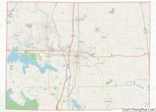
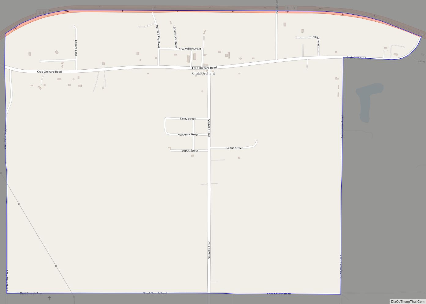
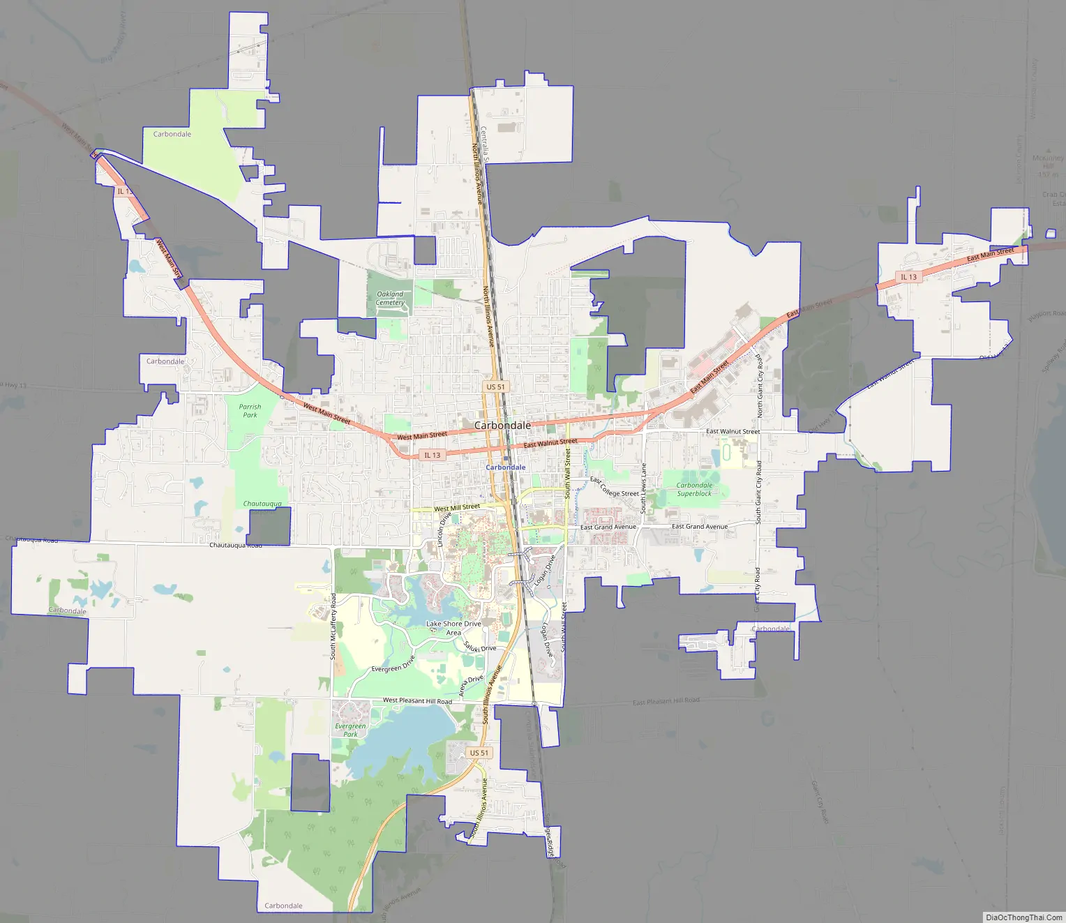
Carbondale Road Map
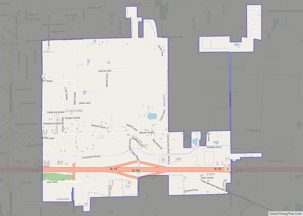
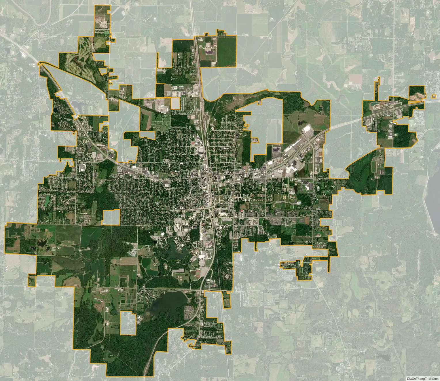
Carbondale city Satellite Map
Geography
Carbondale is located at 37°44′N 89°13′W / 37.733°N 89.217°W / 37.733; -89.217 (37.726, −89.220). It is in the watershed of the Big Muddy River, at 415 feet (126 m) above sea level. Carbondale has been in totality path of one previous solar eclipse on August 21, 2017 and hosted the longest duration of totality with 2 minutes 41.6 seconds just to its south in Makanda Township, and additionally will be in the path of another April 8, 2024.
According to the 2010 census, Carbondale has a total area of 17.519 square miles (45.37 km), of which 17.09 square miles (44.26 km) (or 97.55%) is land and 0.429 square miles (1.11 km) (or 2.45%) is water.
Climate
Carbondale lies in the northern limits of a humid subtropical climate (Köppen Cfa), with four distinct seasons. The monthly daily average temperature ranges from 32.4 °F (0.2 °C) in January to 77.9 °F (25.5 °C) in July. On average, there are 38 days of 90 °F (32 °C)+ highs, 16 days where the high fails to rise above freezing, and 1.6 nights of sub-0 °F (−18 °C) per year. It has an average annual precipitation of 48.95 inches (1,240 mm), including an average 11.4 inches (29 cm) of snow. Extremes in temperature range from −25 °F (−32 °C) on January 11, 1977 up to 113 °F (45 °C) on August 9, 1930.
Carbondale receives thunderstorms on an average of 50 days per year. Particularly in the spring, these storms can often be severe, with high winds, damaging hail, and tornadoes.
See also
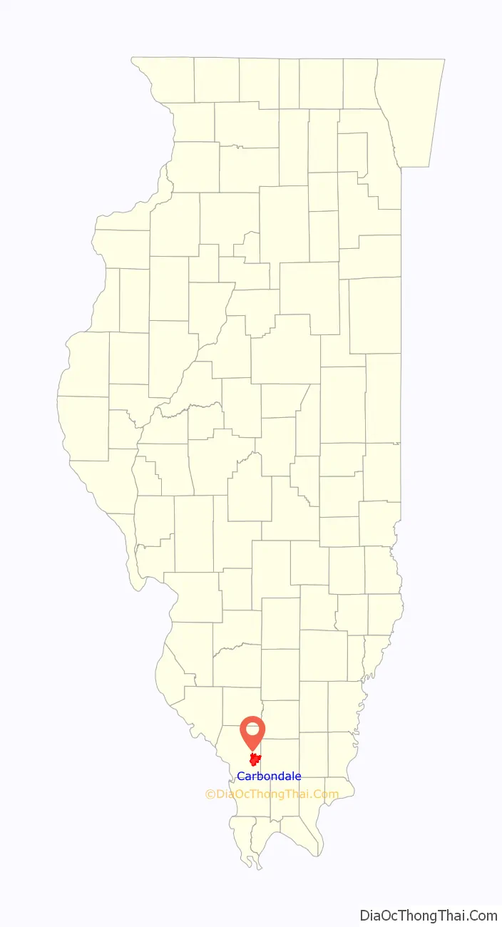
Map of Illinois State and its subdivision:- Adams
- Alexander
- Bond
- Boone
- Brown
- Bureau
- Calhoun
- Carroll
- Cass
- Champaign
- Christian
- Clark
- Clay
- Clinton
- Coles
- Cook
- Crawford
- Cumberland
- De Kalb
- De Witt
- Douglas
- Dupage
- Edgar
- Edwards
- Effingham
- Fayette
- Ford
- Franklin
- Fulton
- Gallatin
- Greene
- Grundy
- Hamilton
- Hancock
- Hardin
- Henderson
- Henry
- Iroquois
- Jackson
- Jasper
- Jefferson
- Jersey
- Jo Daviess
- Johnson
- Kane
- Kankakee
- Kendall
- Knox
- La Salle
- Lake
- Lake Michigan
- Lawrence
- Lee
- Livingston
- Logan
- Macon
- Macoupin
- Madison
- Marion
- Marshall
- Mason
- Massac
- McDonough
- McHenry
- McLean
- Menard
- Mercer
- Monroe
- Montgomery
- Morgan
- Moultrie
- Ogle
- Peoria
- Perry
- Piatt
- Pike
- Pope
- Pulaski
- Putnam
- Randolph
- Richland
- Rock Island
- Saint Clair
- Saline
- Sangamon
- Schuyler
- Scott
- Shelby
- Stark
- Stephenson
- Tazewell
- Union
- Vermilion
- Wabash
- Warren
- Washington
- Wayne
- White
- Whiteside
- Will
- Williamson
- Winnebago
- Woodford
- Alabama
- Alaska
- Arizona
- Arkansas
- California
- Colorado
- Connecticut
- Delaware
- District of Columbia
- Florida
- Georgia
- Hawaii
- Idaho
- Illinois
- Indiana
- Iowa
- Kansas
- Kentucky
- Louisiana
- Maine
- Maryland
- Massachusetts
- Michigan
- Minnesota
- Mississippi
- Missouri
- Montana
- Nebraska
- Nevada
- New Hampshire
- New Jersey
- New Mexico
- New York
- North Carolina
- North Dakota
- Ohio
- Oklahoma
- Oregon
- Pennsylvania
- Rhode Island
- South Carolina
- South Dakota
- Tennessee
- Texas
- Utah
- Vermont
- Virginia
- Washington
- West Virginia
- Wisconsin
- Wyoming