Map of Casey city, Illinois
Casey (pronounced CAY-see) is a city in Clark and Cumberland counties in the U.S. state of Illinois. The population was 2,404 at the 2020 census. The Cumberland County portion of Casey is part of the Charleston–Mattoon Micropolitan Statistical Area. Casey is the home to several Guinness World Record constructions – super-sized items in the form ... Read more
Map of Casey city, Illinois
Map of Cary village, Illinois
Cary is a village located in Algonquin Township, McHenry County, Illinois, and Cuba Township, Lake County, Illinois, United States. Per the 2020 census, the population was 17,826. Cary village overview: Name: Cary village LSAD Code: 47 LSAD Description: village (suffix) State: Illinois County: McHenry County Founded: 1833 Elevation: 823 ft (251 m) Total Area: 6.60 sq mi (17.10 km²) Land ... Read more
Map of Cary village, Illinois
Map of Carthage city, Illinois
Carthage is a city in and the county seat of Hancock County, Illinois, United States. Its population was 2,490 as of the 2020 census. Carthage is best known for being the site of the 1844 death of Joseph Smith, who founded the Latter Day Saint movement. Carthage city overview: Name: Carthage city LSAD Code: 25 ... Read more
Map of Carthage city, Illinois
Map of Carterville city, Illinois
Carterville is a city in Williamson County, Illinois, United States. At the 2020 census, the city’s population was 5,848. The city is part of the Carbondale-Marion-Herrin combined statistical area and has grown considerably as a residential community of Carbondale and Marion. The city is located next to Crab Orchard National Wildlife Refuge. The Refuge’s 44,000 ... Read more
Map of Carterville city, Illinois
Map of Carrollton city, Illinois
Carrollton is a city in and the county seat of Greene County, Illinois, United States. The population was 2,484 as of the 2010 census. Carrollton city overview: Name: Carrollton city LSAD Code: 25 LSAD Description: city (suffix) State: Illinois County: Greene County Elevation: 607 ft (185 m) Total Area: 1.90 sq mi (4.93 km²) Land Area: 1.90 sq mi (4.93 km²) Water Area: ... Read more
Map of Carrollton city, Illinois
Map of Carrier Mills village
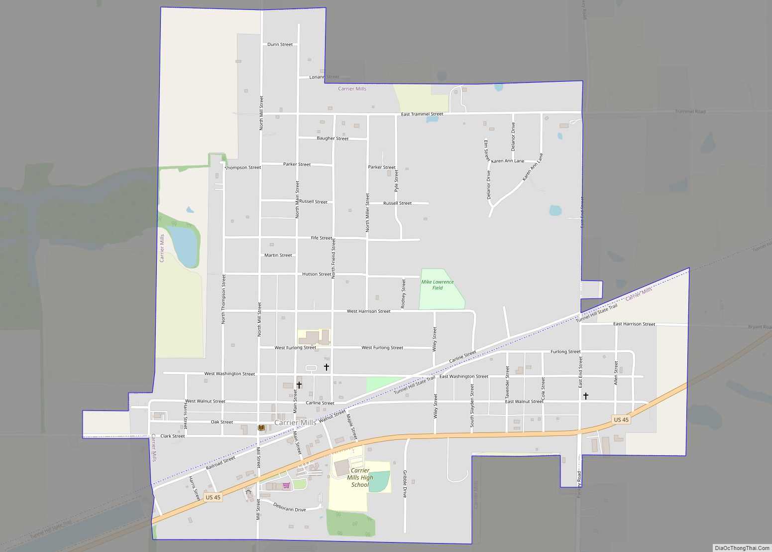
Carrier Mills, formerly Carrier’s Mills and Morrilsville, also known as Catskin, is a village in Saline County, Illinois, United States. The population was 1,672 at the 2020 census. Carrier Mills was named after George Washington Carrier’s saw and grist mills, and was one of the early Cairo and Vincennes Railroad boomtowns. Founded as a mill ... Read more
Map of Carrier Mills village
Map of Carpentersville village
Carpentersville is a village in Kane County, Illinois, United States. The population was 37,983 at the 2020 census. Carpentersville village overview: Name: Carpentersville village LSAD Code: 47 LSAD Description: village (suffix) State: Illinois County: Kane County Total Area: 8.08 sq mi (20.93 km²) Land Area: 7.87 sq mi (20.39 km²) Water Area: 0.21 sq mi (0.54 km²) Total Population: 37,983 Population Density: 4,824.46/sq mi (1,862.82/km²) ... Read more
Map of Carpentersville village
Map of Carol Stream village
Carol Stream is a village in DuPage County, Illinois, United States, and a suburb of Chicago. Carol Stream was incorporated on January 5, 1959, and named after its founder’s daughter. Per the 2020 census, the population was 39,854. Carol Stream village overview: Name: Carol Stream village LSAD Code: 47 LSAD Description: village (suffix) State: Illinois ... Read more
Map of Carol Stream village
Map of Carmi city
Carmi is a city in and the county seat of White County, Illinois, United States, along the Little Wabash River, where the population was 5,240 at the 2010 census. Carmi city overview: Name: Carmi city LSAD Code: 25 LSAD Description: city (suffix) State: Illinois County: White County Founded: 1816 Elevation: 390 ft (120 m) Total Area: 2.62 sq mi ... Read more
Map of Carmi city
Map of Centralia city, Illinois
Centralia is a city in Clinton, Jefferson, Marion, and Washington counties in the U.S. state of Illinois with the largest portion in Marion County. The city is the largest in three of the counties; Clinton, Marion, and Washington, but is not a county seat of any of them. The population was 12,182 as of the ... Read more
Map of Centralia city, Illinois
Map of Carlyle city
Carlyle is a city in Clinton County, Illinois, United States. The population was 3,253 at the 2020 census. It is the county seat of Clinton County. Carlyle is located approximately 50 miles (80 km) east of St. Louis, Missouri, and is home to Illinois’ largest man-made lake, Carlyle Lake, and to the General Dean Suspension Bridge, ... Read more
Map of Carlyle city
Map of Central City village, Illinois
Central City is a village in Marion County, Illinois, United States. The population was 1,098 at the 2020 census. Central City village overview: Name: Central City village LSAD Code: 47 LSAD Description: village (suffix) State: Illinois County: Marion County Elevation: 492 ft (150 m) Total Area: 0.56 sq mi (1.46 km²) Land Area: 0.56 sq mi (1.46 km²) Water Area: 0.00 sq mi (0.00 km²) Total ... Read more
Map of Central City village, Illinois