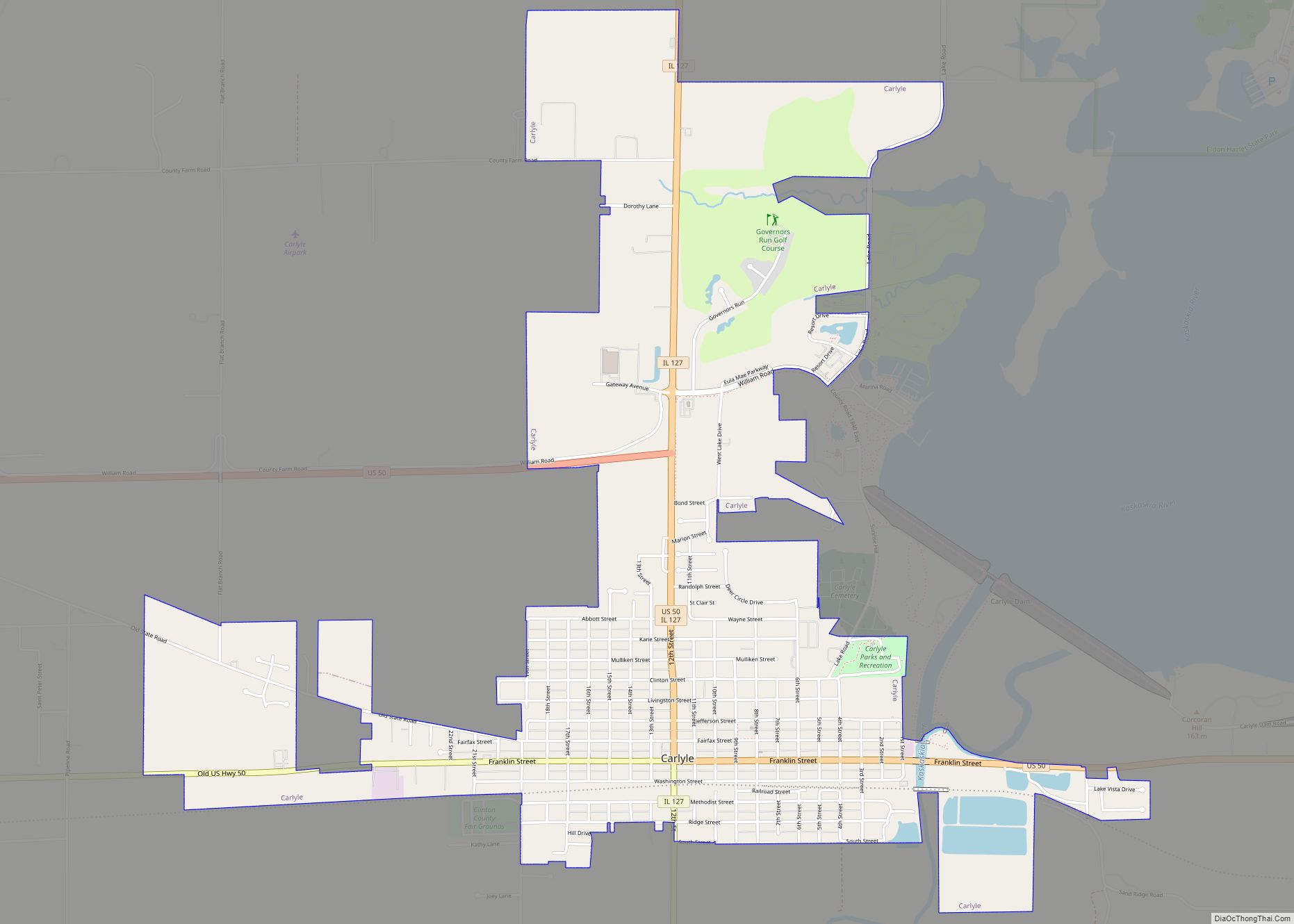
Map of Carmi city

Map of Carmi city

Carmi is a city in and the county seat of White County, Illinois, United States, along the Little Wabash River, where the population was 5,240 at the 2010 census. Carmi city overview: Name: Carmi city LSAD Code: 25 LSAD Description: city (suffix) State: Illinois County: White County Founded: 1816 Elevation: 390 ft (120 m) Total Area: 2.62 sq mi … Read more

Map of Centreville city, Illinois

Map of Centreville city, Illinois

Centreville was a city in St. Clair County, Illinois, United States. The population was 5,309 in 2010, down from 5,951 at the 2000 census. On May 6, 2021, the city ceased to exist, being incorporated into the new city of Cahokia Heights. Centreville city overview: Name: Centreville city LSAD Code: 25 LSAD Description: city (suffix) … Read more

Map of Cerro Gordo village

Map of Cerro Gordo village, Illinois

Cerro Gordo, nicknamed Fat Hill, is a town in Piatt County, Illinois, United States. The population was 1,316 at the 2020 census. Cerro Gordo village overview: Name: Cerro Gordo village LSAD Code: 47 LSAD Description: village (suffix) State: Illinois County: Piatt County Elevation: 738 ft (225 m) Total Area: 0.73 sq mi (1.89 km²) Land Area: 0.73 sq mi (1.89 km²) Water Area: … Read more

Map of Champaign city

Map of Champaign city

Champaign (/ˌʃæmˈpeɪn/ sham-PAYN) is a city in Champaign County, Illinois, United States. The population was 88,302 at the 2020 census. It is the tenth-most populous municipality in Illinois and the fourth most populous city in Illinois outside the Chicago metropolitan area. It is included in the Champaign–Urbana metropolitan area. Champaign shares the main campus of … Read more

Map of Chadwick village

Map of Chadwick village

Chadwick is a village in Carroll County, Illinois, United States. The population was 481 at the 2020 census, down from 551 at the 2010 census. Chadwick village overview: Name: Chadwick village LSAD Code: 47 LSAD Description: village (suffix) State: Illinois County: Carroll County Incorporated: Approximately 1853. (Incorporation approved Sept. 26, 1882.) Elevation: 801 ft (244 m) Total … Read more

Map of Channahon village

Map of Channahon village

Channahon (/ˈʃænəhɒn/ SHAN-ə-hon) is a village in Grundy and Will counties in the U.S. state of Illinois. The population was 13,706 at the 2020 census. Located in a rural area southwest of Joliet, Illinois, Channahon lies at the confluence of the Des Plaines, Kankakee, and DuPage rivers, where they form the Illinois River. The Illinois … Read more

Map of Chandlerville village

Map of Chandlerville village

Chandlerville is a village in Cass County, Illinois, United States. The population was 527 at the 2020 census. Chandlerville village overview: Name: Chandlerville village LSAD Code: 47 LSAD Description: village (suffix) State: Illinois County: Cass County Elevation: 479 ft (146 m) Total Area: 0.79 sq mi (2.06 km²) Land Area: 0.79 sq mi (2.06 km²) Water Area: 0.00 sq mi (0.00 km²) Total Population: 527 Population … Read more

Map of Chapin village, Illinois

Map of Chapin village, Illinois

Chapin is a village in Morgan County, Illinois, United States. The population was 475 at the 2020 census. It is part of the Jacksonville Micropolitan Statistical Area. Chapin village overview: Name: Chapin village LSAD Code: 47 LSAD Description: village (suffix) State: Illinois County: Morgan County Elevation: 620 ft (190 m) Total Area: 1.00 sq mi (2.59 km²) Land Area: 1.00 sq mi … Read more

Map of Channel Lake CDP

Map of Channel Lake CDP

Channel Lake CDP overview: Name: Channel Lake CDP LSAD Code: 57 LSAD Description: CDP (suffix) State: Illinois County: Lake County FIPS code: 1712489 Online Interactive Map Channel Lake online map. Source: Basemap layers from Google Map, Open Street Map (OSM), Arcgisonline, Wmflabs. Boundary Data from Database of Global Administrative Areas. Channel Lake location map. Where … Read more

Map of Chatham village

Map of Chatham village, Illinois

Chatham is a village in Sangamon County, Illinois, United States. It is located 2.8 miles south of Springfield and has a retail trade area that extends into four other municipalities, including Springfield. The population was 11,500 as of the 2010 census and estimated to be 13,008 as of 2019. The village lies along the original … Read more

Map of Charleston city, Illinois

Map of Charleston city, Illinois

Charleston is a city in, and the county seat of, Coles County, Illinois, United States. The population was 17,286, as of the 2020 census. The city is home to Eastern Illinois University and has close ties with its neighbor, Mattoon. Both are principal cities of the Charleston–Mattoon Micropolitan Statistical Area. Charleston city overview: Name: Charleston … Read more

Map of Chebanse village

Map of Chebanse village

Chebanse is a village in Iroquois and Kankakee counties in the U.S. state of Illinois. The population was 1,044 at the 2020 census. The Kankakee County portion of Chebanse is included in the Kankakee–Bradley, Illinois Metropolitan Statistical Area. Chebanse village overview: Name: Chebanse village LSAD Code: 47 LSAD Description: village (suffix) State: Illinois County: Iroquois … Read more