Charleston is a city in, and the county seat of, Coles County, Illinois, United States. The population was 17,286, as of the 2020 census. The city is home to Eastern Illinois University and has close ties with its neighbor, Mattoon. Both are principal cities of the Charleston–Mattoon Micropolitan Statistical Area.
| Name: | Charleston city |
|---|---|
| LSAD Code: | 25 |
| LSAD Description: | city (suffix) |
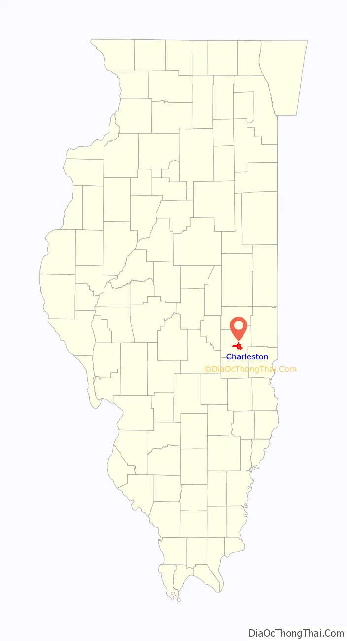
| State: | Illinois |
| County: | Coles County |
| Founded: | 1831 |
| Elevation: | 699 ft (213 m) |
| Total Area: | 9.59 sq mi (24.83 km²) |
| Land Area: | 8.88 sq mi (23.01 km²) |
| Water Area: | 0.70 sq mi (1.82 km²) |
| Total Population: | 17,286 |
| Population Density: | 1,945.75/sq mi (751.23/km²) |
| Area code: | 217, 447 |
| FIPS code: | 1712567 |
| Website: | www.charlestonillinois.org |
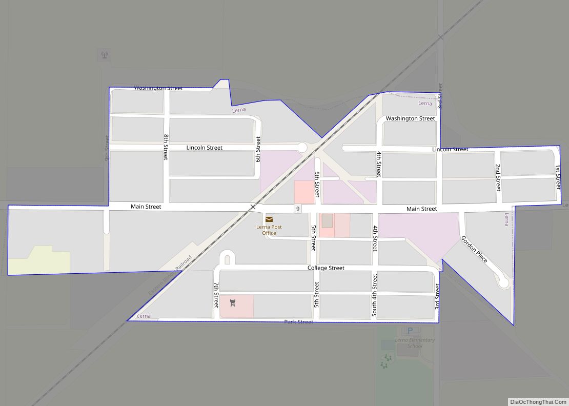
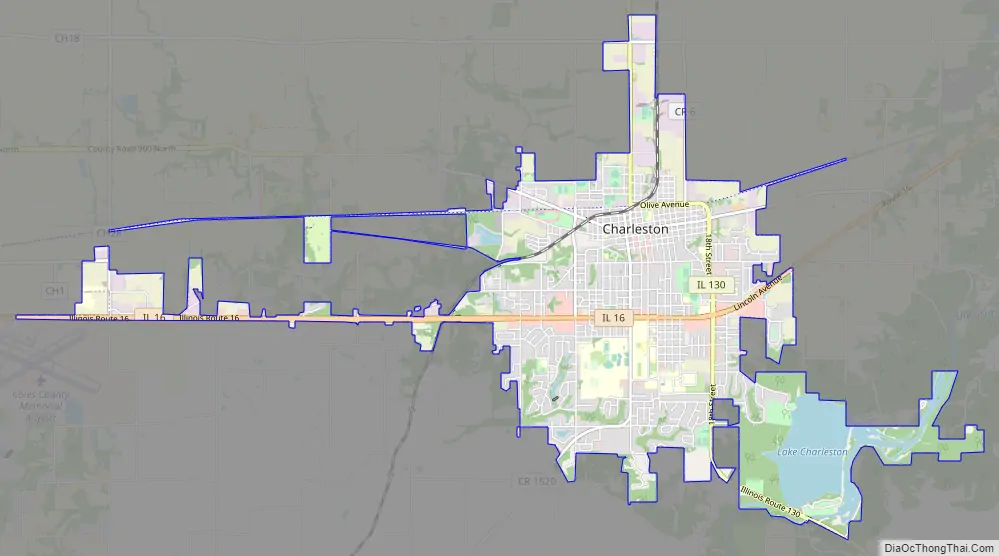
Online Interactive Map
Click on ![]() to view map in "full screen" mode.
to view map in "full screen" mode.
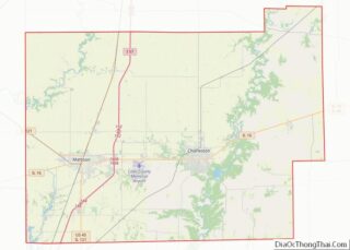
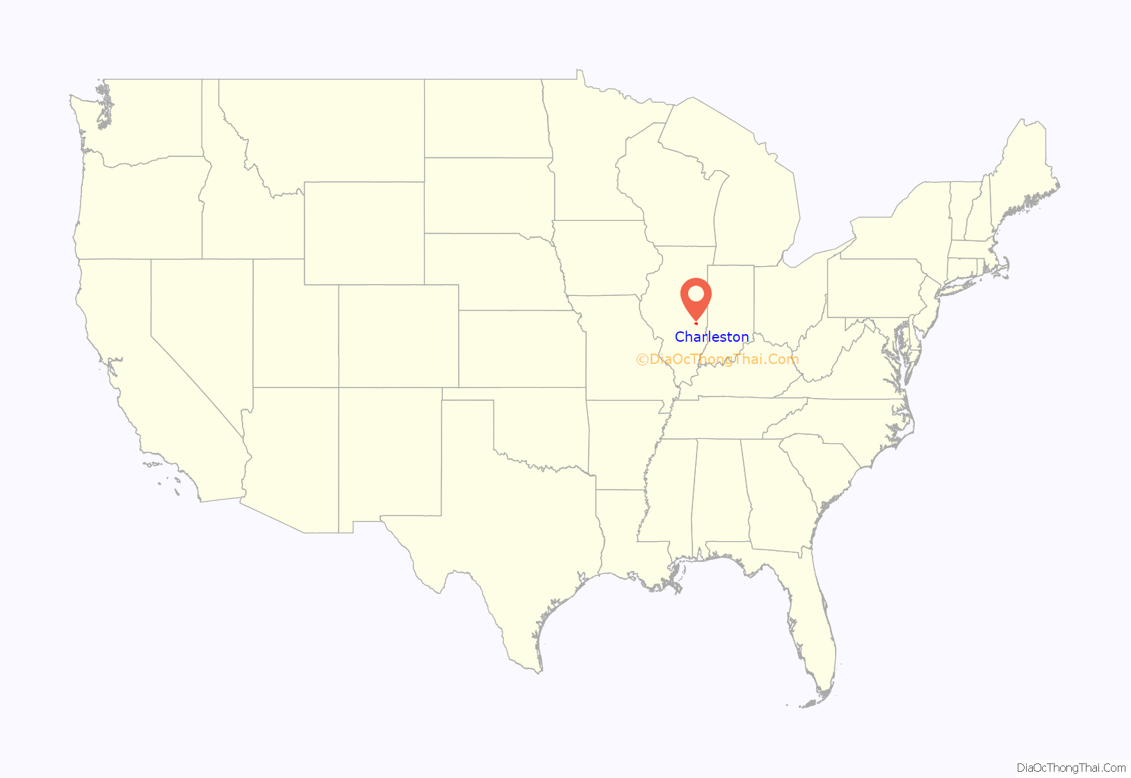
Charleston location map. Where is Charleston city?
History
Native Americans lived in the Charleston area for thousands of years before the first European settlers arrived. With the great tallgrass prairie to the west, beech-maple forests to the east, and the Embarras River and Wabash Rivers between, the Charleston area provided semi-nomadic Indians access to a variety of resources. Indians may have deliberately set the “wildfires” which maintained the local mosaic of prairie and oak–hickory forest. Streams with names such as ‘Indian Creek’ and ‘Kickapoo Creek’ mark the sites of former Indian settlements. One village is said to have been located south of Fox Ridge State Park near a deposit of flint.
The early history of settlement in the area was marked by uneasy co-existence between Indians and European settlers. Some settlers lived peacefully with the natives, but conflict arose in the 1810s and 1820s. After Indians allegedly harassed surveying crews, an escalating series of poorly documented skirmishes occurred between Indians, settlers, and the Illinois Rangers. Two pitched battles (complete with cannon on one side) took place just south of Charleston along “the hills of the Embarrass,” near the entrance to Lake Charleston park. These conflicts did not slow American settlement, and Indian history in Coles County effectively ended when all natives were expelled by law from Illinois after the 1832 Black Hawk War. With the grudging exception of Indian wives, the last natives were driven out by the 1840s.
First settled by Benjamin Parker in 1826, Charleston was named for Charles Morton, its first postmaster. The city was established in 1831, but not incorporated until 1865. When Abraham Lincoln’s father moved to a farm on Goosenest Prairie south of Charleston in 1831, Lincoln helped him move, then left to start his own homestead at New Salem in Sangamon County. Lincoln was a frequent visitor to the Charleston area, though he likely spent more time at the Coles County courthouse than at the home of his father and stepmother. One of the famous Lincoln–Douglas debates was held in Charleston on September 18, 1858, and is now the site of the Coles County fairgrounds and a small museum. Lincoln’s last visit was in 1859, when the future President visited his stepmother and his father’s grave.
Although Illinois was a solidly pro-Union, anti-slavery state, Coles County was settled by many Southerners with pro-slavery sentiments. In 1847, the county was divided when prominent local citizens offered refuge to a family of escaped slaves brought from Kentucky by Gen. Robert Matson. Abe Lincoln, by then a young railroad lawyer, appeared in the Coles County Courthouse to argue for the return of the escaped slaves under the Fugitive Slave Act in a case known as Matson v. Ashmore. As in the rest of the nation, this long-simmering debate finally broke out into violence during the American Civil War. On March 28, 1864 a riot—or perhaps a small battle—erupted in downtown Charleston when armed Confederate sympathizers known as Copperheads arrived in town to attack half-drunk Union soldiers preparing to return to their regiment.
In 1895, the Eastern Illinois State Normal School was established in Charleston, which later became Eastern Illinois University. This led to lasting resentment in nearby Mattoon, which had originally led the campaign to locate the proposed teaching school in Coles County. A Mattoon newspaper printed a special edition announcing the decision with the derisive headline “Catfish Town Gets It.”
Thomas Lincoln’s log cabin has been restored and is open to the public as the Lincoln Log Cabin State Historic Site, 8 mi. south of Charleston. The Lincoln farm is maintained as a living history museum where historical re-enactors depict life in 1840s Illinois. Thomas and Sarah Bush Lincoln are buried in the nearby Shiloh Cemetery.
On May 26, 1917, a tornado ripped through Charleston, killing 38 and wounding many more along with destroying 220 homes.
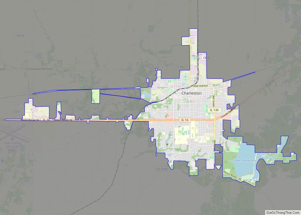
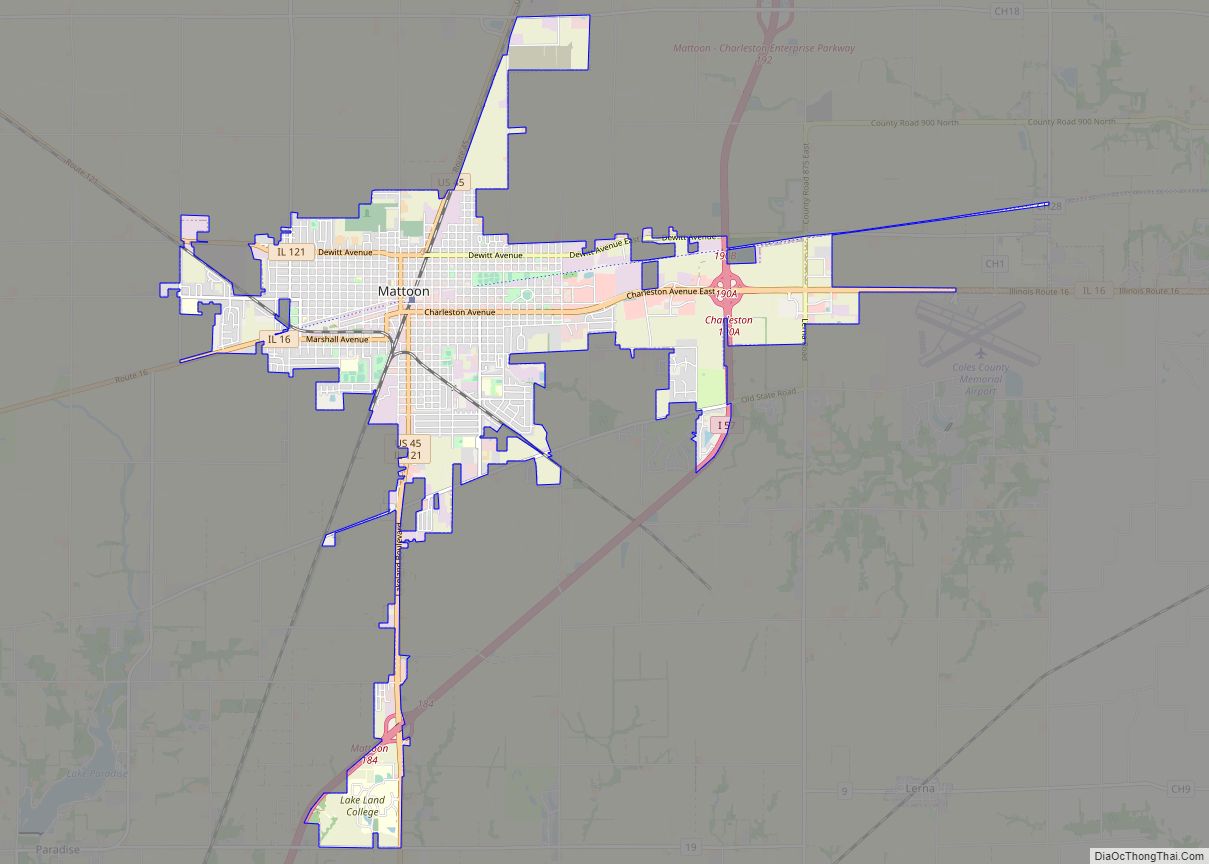
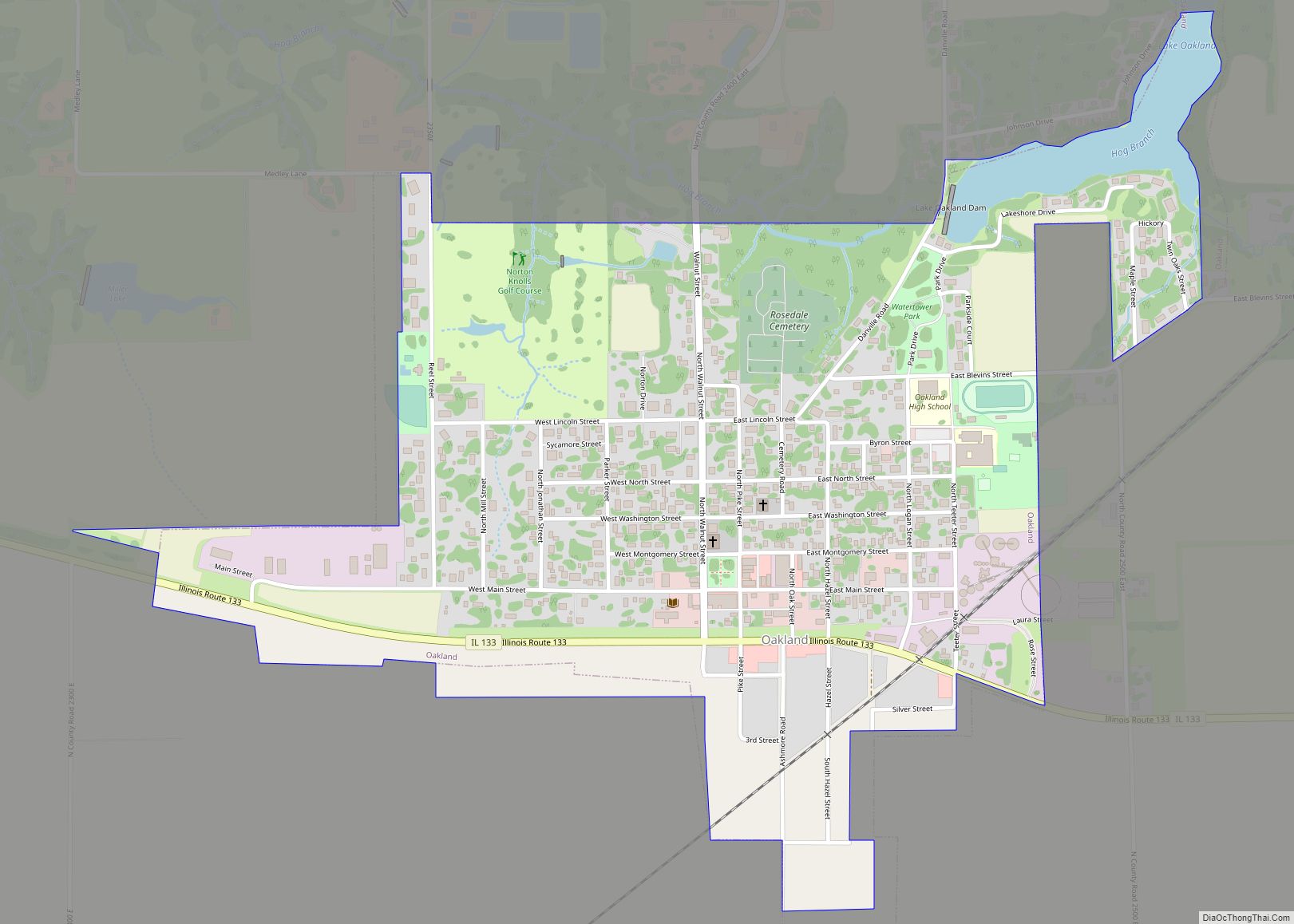
Charleston Road Map
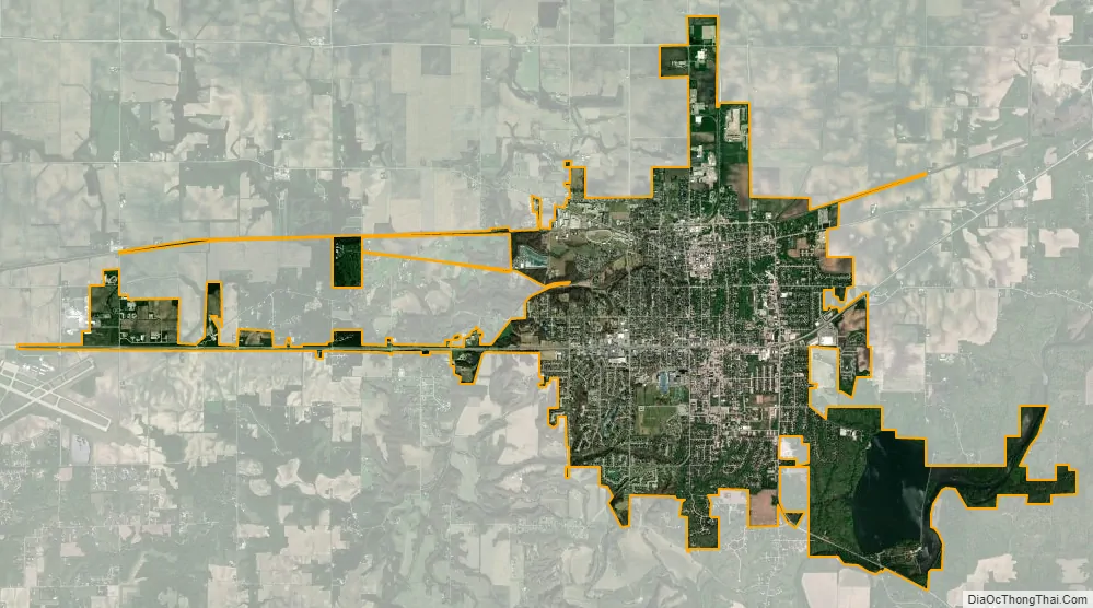
Charleston city Satellite Map
Geography
According to the 2021 census gazetteer files, Charleston has a total area of 9.59 square miles (24.84 km), of which 8.88 square miles (23.00 km) (or 92.68%) is land and 0.70 square miles (1.81 km) (or 7.32%) is water.
Climate
The data below were taken from 1893 through January 2020, when this chart was made. They were accessed through the Western Regional Climate Center (WRCC).
See also
Map of Illinois State and its subdivision:- Adams
- Alexander
- Bond
- Boone
- Brown
- Bureau
- Calhoun
- Carroll
- Cass
- Champaign
- Christian
- Clark
- Clay
- Clinton
- Coles
- Cook
- Crawford
- Cumberland
- De Kalb
- De Witt
- Douglas
- Dupage
- Edgar
- Edwards
- Effingham
- Fayette
- Ford
- Franklin
- Fulton
- Gallatin
- Greene
- Grundy
- Hamilton
- Hancock
- Hardin
- Henderson
- Henry
- Iroquois
- Jackson
- Jasper
- Jefferson
- Jersey
- Jo Daviess
- Johnson
- Kane
- Kankakee
- Kendall
- Knox
- La Salle
- Lake
- Lake Michigan
- Lawrence
- Lee
- Livingston
- Logan
- Macon
- Macoupin
- Madison
- Marion
- Marshall
- Mason
- Massac
- McDonough
- McHenry
- McLean
- Menard
- Mercer
- Monroe
- Montgomery
- Morgan
- Moultrie
- Ogle
- Peoria
- Perry
- Piatt
- Pike
- Pope
- Pulaski
- Putnam
- Randolph
- Richland
- Rock Island
- Saint Clair
- Saline
- Sangamon
- Schuyler
- Scott
- Shelby
- Stark
- Stephenson
- Tazewell
- Union
- Vermilion
- Wabash
- Warren
- Washington
- Wayne
- White
- Whiteside
- Will
- Williamson
- Winnebago
- Woodford
- Alabama
- Alaska
- Arizona
- Arkansas
- California
- Colorado
- Connecticut
- Delaware
- District of Columbia
- Florida
- Georgia
- Hawaii
- Idaho
- Illinois
- Indiana
- Iowa
- Kansas
- Kentucky
- Louisiana
- Maine
- Maryland
- Massachusetts
- Michigan
- Minnesota
- Mississippi
- Missouri
- Montana
- Nebraska
- Nevada
- New Hampshire
- New Jersey
- New Mexico
- New York
- North Carolina
- North Dakota
- Ohio
- Oklahoma
- Oregon
- Pennsylvania
- Rhode Island
- South Carolina
- South Dakota
- Tennessee
- Texas
- Utah
- Vermont
- Virginia
- Washington
- West Virginia
- Wisconsin
- Wyoming