Harrisburg (/ˈhærɪsbɜːrɡ, ˈhɛərz-/) is a city in and the county seat of Saline County, Illinois, United States. It is located about 57 miles (92 kilometers) southwest of Evansville, Indiana, and 111 mi (179 km) southeast of St. Louis, Missouri. Its 2020 population was 8,219, and the surrounding Harrisburg Township had a population of 10,037, including the city ... Read more
Illinois Cities and Places
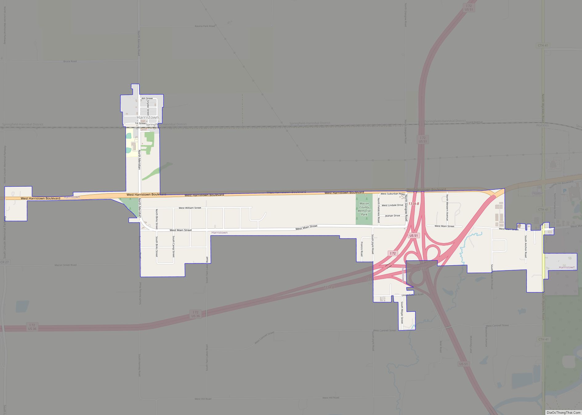
Harristown is a village in Macon County, Illinois, United States. The population was 1,310 at the 2020 census. It is included in the Decatur, Illinois Metropolitan Statistical Area. Harristown village overview: Name: Harristown village LSAD Code: 47 LSAD Description: village (suffix) State: Illinois County: Macon County Elevation: 672 ft (205 m) Total Area: 1.80 sq mi (4.65 km²) Land Area: ... Read more
Harrison is a census-designated place in Jackson County, Illinois, United States. Its population was 970 as of the 2010 census. Harrison CDP overview: Name: Harrison CDP LSAD Code: 57 LSAD Description: CDP (suffix) State: Illinois County: Jackson County Elevation: 410 ft (120 m) Total Area: 2.14 sq mi (5.55 km²) Land Area: 2.11 sq mi (5.45 km²) Water Area: 0.04 sq mi (0.09 km²) Total Population: ... Read more
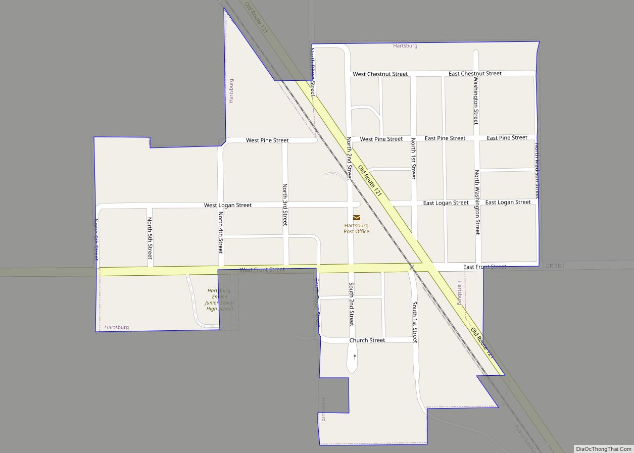
Hartsburg is a village in Logan County, Illinois, United States. The population was 314 at the 2010 census. Hartsburg village overview: Name: Hartsburg village LSAD Code: 47 LSAD Description: village (suffix) State: Illinois County: Logan County Elevation: 604 ft (184 m) Total Area: 0.15 sq mi (0.39 km²) Land Area: 0.15 sq mi (0.39 km²) Water Area: 0.00 sq mi (0.00 km²) Total Population: 262 Population ... Read more
Hartford is a village in Madison County, Illinois, United States, on the Mississippi River near the mouth of the Missouri River. The population was 1,185 at the 2020 census, down from 1,429 in 2010. Lewis and Clark spent the winter of 1803-04 there, near what has been designated the Lewis and Clark State Historic Site. ... Read more
Harvel is a village in Christian and Montgomery counties in the U.S. state of Illinois. The population was 178 at the 2020 census, down from 223 in 2010. Harvel village overview: Name: Harvel village LSAD Code: 47 LSAD Description: village (suffix) State: Illinois County: Christian County, Montgomery County Elevation: 637 ft (194 m) Total Area: 0.72 sq mi (1.86 km²) ... Read more
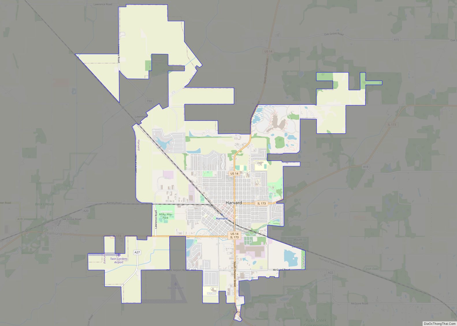
Harvard is a city located in McHenry County, Illinois. The population was 9,469 at the 2020 census. The city is 63 miles from the Chicago Loop and it is the last stop on the Union Pacific/Northwest Line. Harvard city overview: Name: Harvard city LSAD Code: 25 LSAD Description: city (suffix) State: Illinois County: McHenry County ... Read more
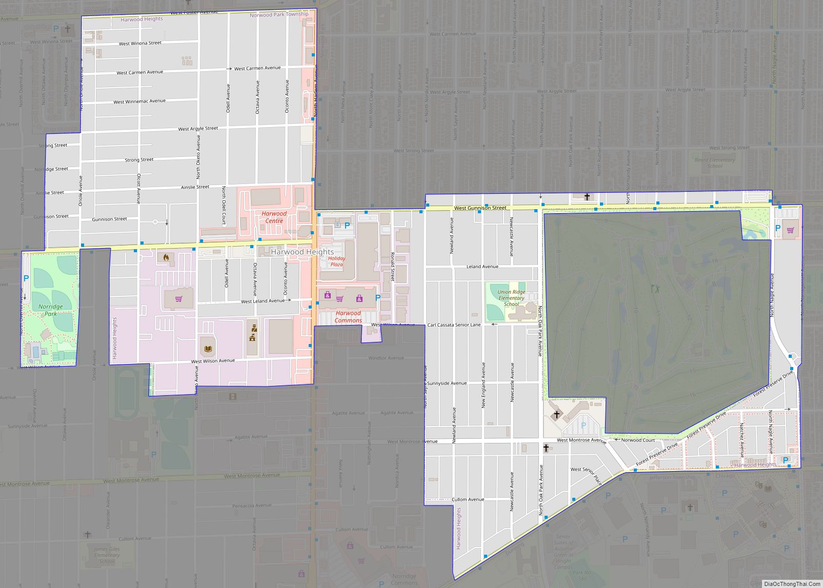
Harwood Heights is a village in Cook County, Illinois, United States. The population was 9,065 at the 2020 census. Harwood Heights and its neighbor Norridge form an enclave surrounded by the city of Chicago. Harwood Heights village overview: Name: Harwood Heights village LSAD Code: 47 LSAD Description: village (suffix) State: Illinois County: Cook County Total ... Read more
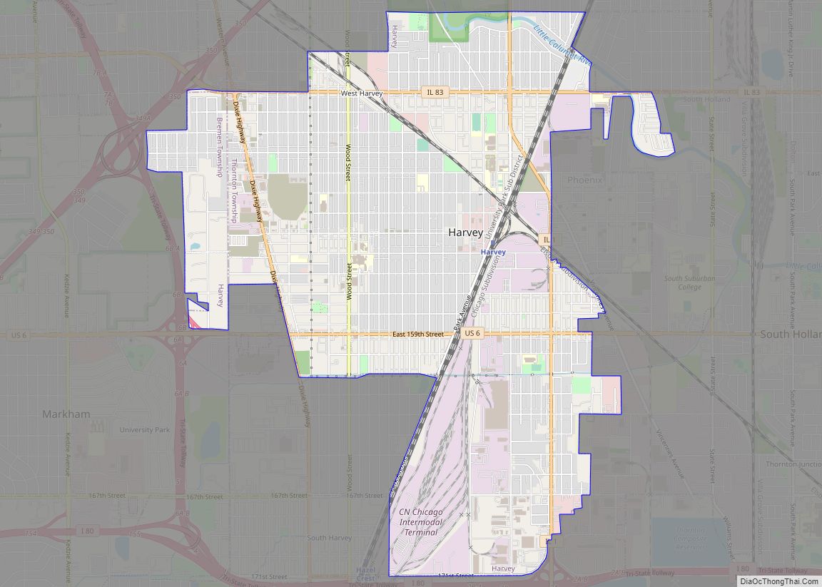
Harvey is a city in Cook County, Illinois, United States. The population was 20,324 at the 2020 census. Harvey is bordered by the villages of Dixmoor and Riverdale to the north; Dolton, Phoenix, and South Holland to the east; East Hazel Crest to the south; and Hazel Crest, Markham and Posen to the west. Harvey ... Read more
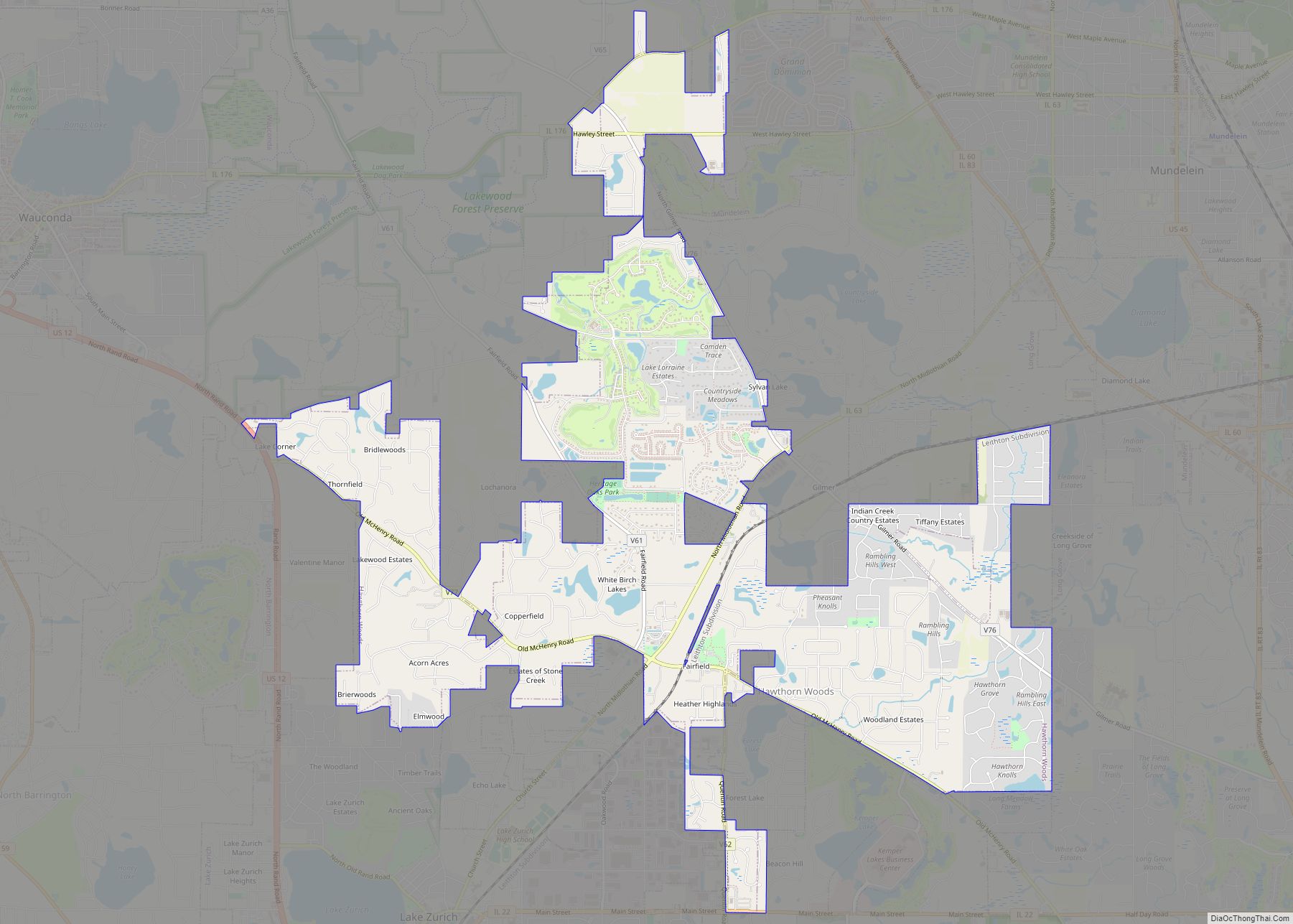
Hawthorn Woods is a village in Fremont and Ela townships in Lake County, Illinois, United States. Per the 2020 census, the population was 9,062. The village is located approximately 40 miles (64 km) northwest of downtown Chicago. Hawthorn Woods was officially incorporated in 1958. Major transportation arteries include Midlothian Road, Old McHenry Road, Algonquin Road, Halfday ... Read more
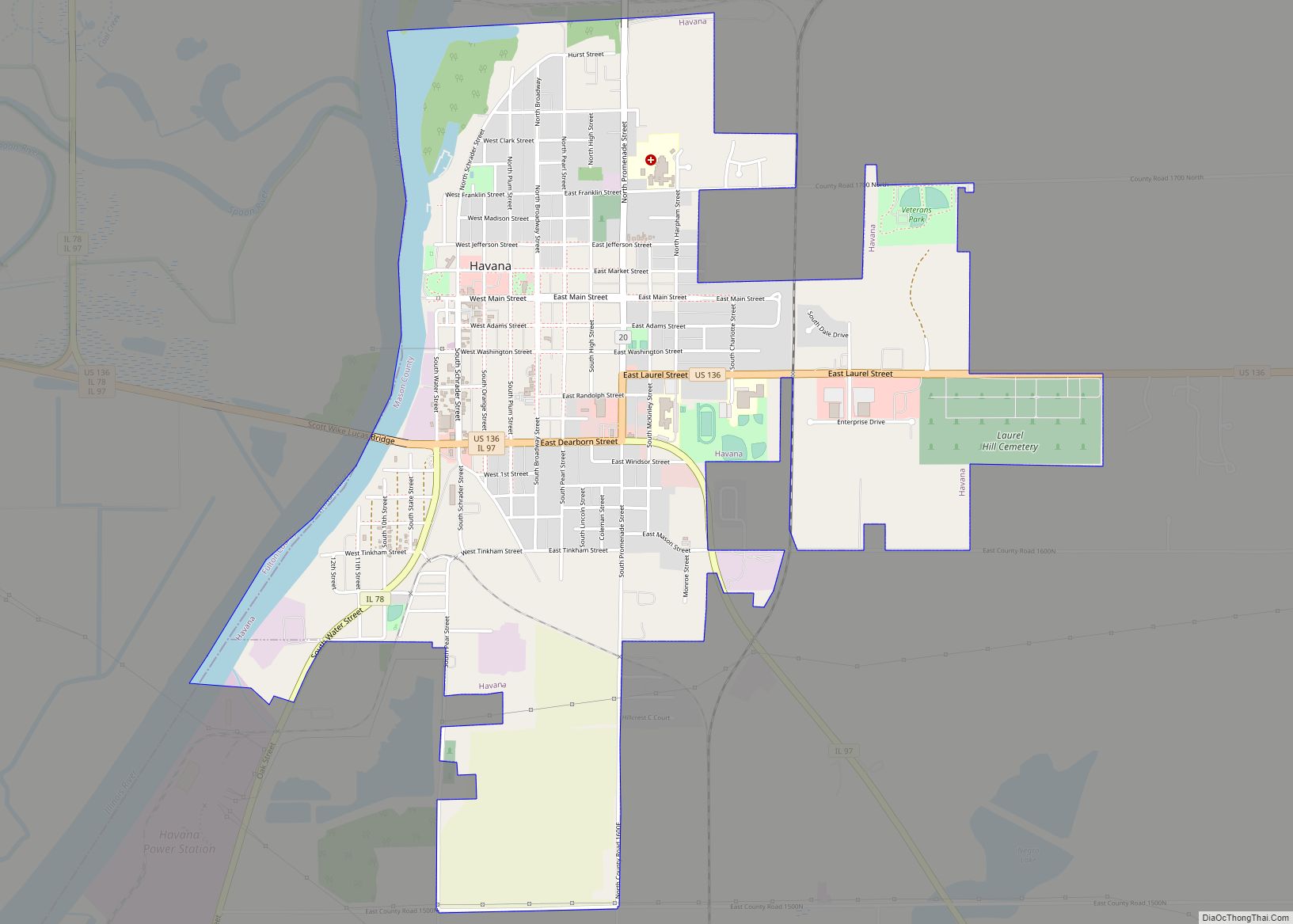
Havana is a city in Mason County, Illinois, United States. The population was 2,963 at the 2020 census, down from 3,301 in 2010. It is the county seat of Mason County. Havana city overview: Name: Havana city LSAD Code: 25 LSAD Description: city (suffix) State: Illinois County: Mason County Elevation: 469 ft (143 m) Total Area: 2.94 sq mi ... Read more
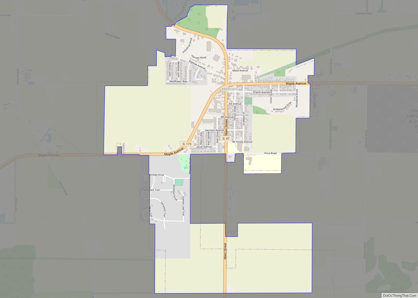
Hebron (/ˈhiːbrɪn/ HEE-brihn) is a village in McHenry County, Illinois, United States. It is a commuter village within the Chicago metropolitan area. Per the 2020 census, the population was 1,368. It is also the headquarters of Vaughan Manufacturing, one of the largest manufacturers of striking tools in the world. Hebron village overview: Name: Hebron village ... Read more

