Hartford is a village in Madison County, Illinois, United States, on the Mississippi River near the mouth of the Missouri River. The population was 1,185 at the 2020 census, down from 1,429 in 2010. Lewis and Clark spent the winter of 1803-04 there, near what has been designated the Lewis and Clark State Historic Site.
| Name: | Hartford village |
|---|---|
| LSAD Code: | 47 |
| LSAD Description: | village (suffix) |
| State: | Illinois |
| County: | Madison County |
| Elevation: | 430 ft (130 m) |
| Total Area: | 5.44 sq mi (14.08 km²) |
| Land Area: | 5.17 sq mi (13.38 km²) |
| Water Area: | 0.27 sq mi (0.70 km²) |
| Total Population: | 1,185 |
| Population Density: | 229.38/sq mi (88.57/km²) |
| ZIP code: | 62048 |
| Area code: | 618 |
| FIPS code: | 1733279 |
| GNISfeature ID: | 2398258 |
| Website: | hartfordillinois.net |
Online Interactive Map
Click on ![]() to view map in "full screen" mode.
to view map in "full screen" mode.
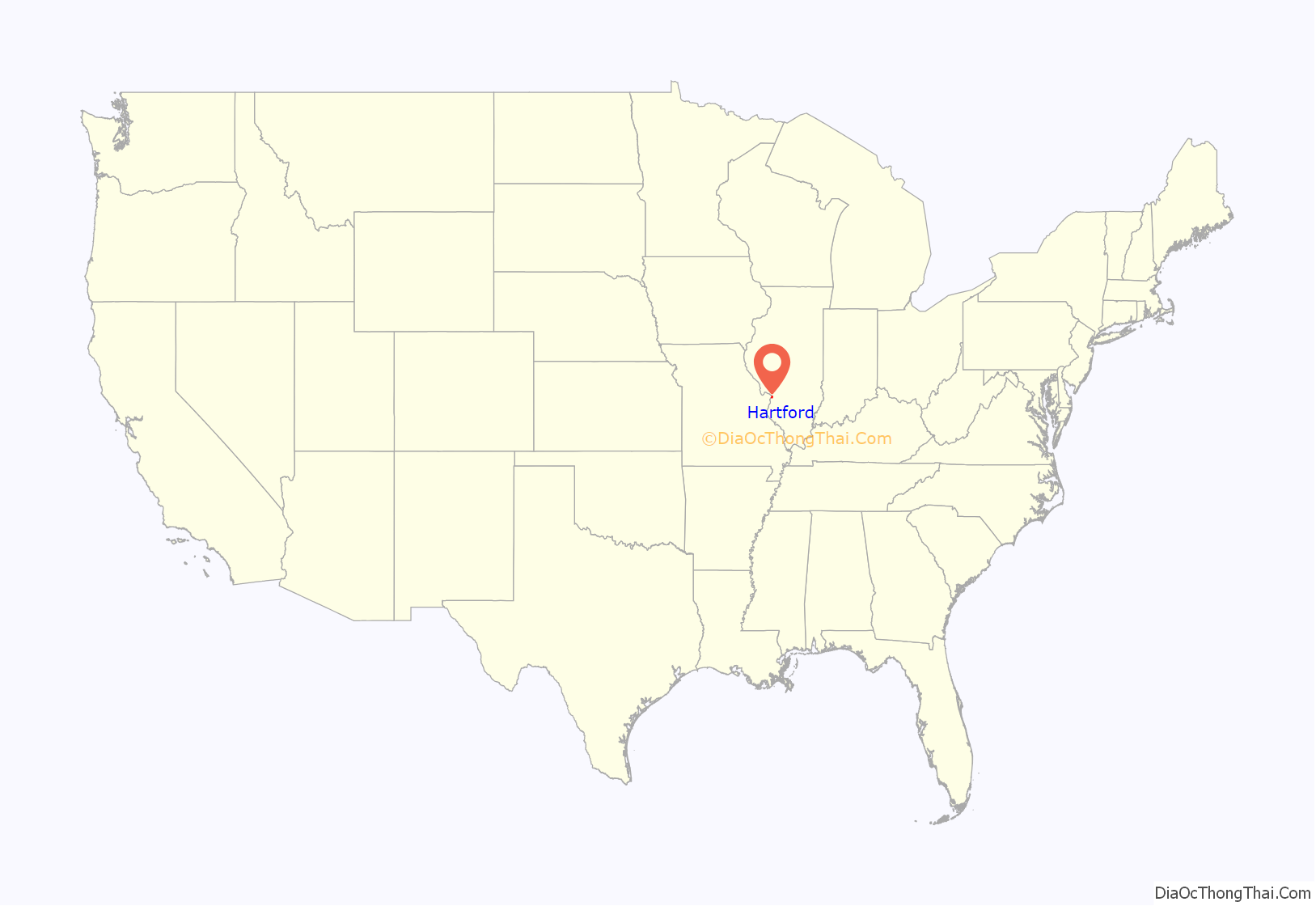
Hartford location map. Where is Hartford village?
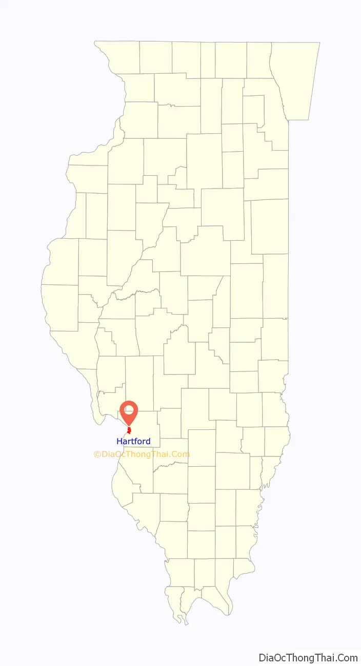
Hartford Road Map

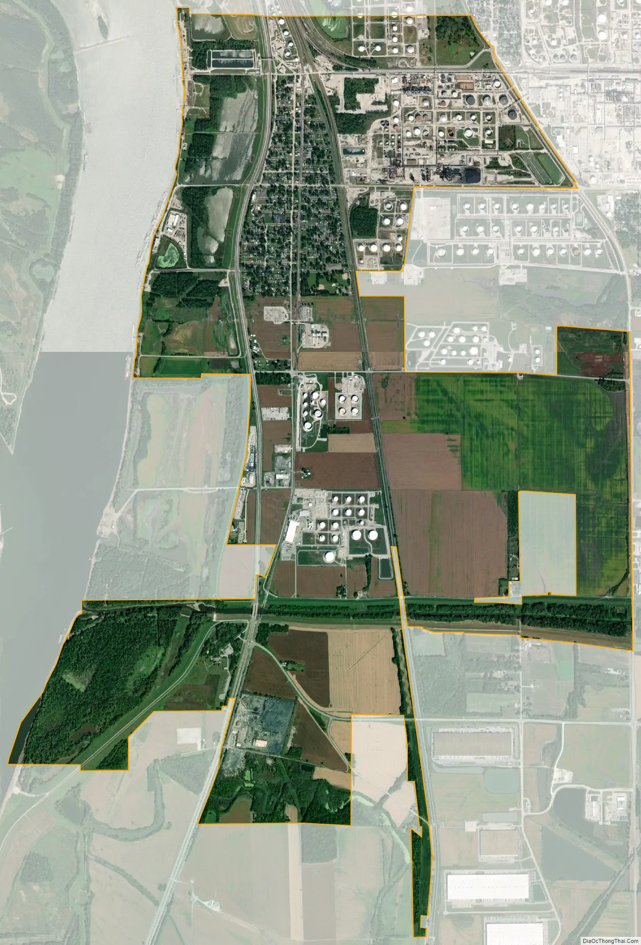
Hartford city Satellite Map
Geography
Hartford is located in western Madison County at 38°49′28″N 90°5′33″W / 38.82444°N 90.09250°W / 38.82444; -90.09250 (38.824498, -90.092509). It is approximately 15 miles (24 km) north of downtown St. Louis, Missouri, and it is bordered to the west by the Mississippi River, across which are St. Charles County and St. Louis County, Missouri. The Missouri River joins the Mississippi across from the southwest corner of the village, about 1 mile (1.6 km) southwest of the village center. Lewis and Clark State Historic Site is within the village limits, directly across from the Missouri River confluence.
Hartford is bordered to the north by the city of Wood River, to the east by the village of South Roxana, and to the south by Granite City. Illinois Route 3 passes through the west side of the village, leading northwest 7 miles (11 km) to Alton and south 17 miles (27 km) to East St. Louis. Illinois Route 111 runs along the eastern border of Hartford, leading north 2 miles (3 km) to the center of Wood River and south 13 miles (21 km) to Fairmont City.
According to the U.S. Census Bureau, Hartford has a total area of 5.44 square miles (14.09 km), of which 5.17 square miles (13.39 km) are land and 0.27 square miles (0.70 km), or 4.97%, are water. The Cahokia Creek Diversion Channel passes through the southern part of the village limits, reaching the Mississippi River at the Lewis and Clark Historic Site.
See also
Map of Illinois State and its subdivision:- Adams
- Alexander
- Bond
- Boone
- Brown
- Bureau
- Calhoun
- Carroll
- Cass
- Champaign
- Christian
- Clark
- Clay
- Clinton
- Coles
- Cook
- Crawford
- Cumberland
- De Kalb
- De Witt
- Douglas
- Dupage
- Edgar
- Edwards
- Effingham
- Fayette
- Ford
- Franklin
- Fulton
- Gallatin
- Greene
- Grundy
- Hamilton
- Hancock
- Hardin
- Henderson
- Henry
- Iroquois
- Jackson
- Jasper
- Jefferson
- Jersey
- Jo Daviess
- Johnson
- Kane
- Kankakee
- Kendall
- Knox
- La Salle
- Lake
- Lake Michigan
- Lawrence
- Lee
- Livingston
- Logan
- Macon
- Macoupin
- Madison
- Marion
- Marshall
- Mason
- Massac
- McDonough
- McHenry
- McLean
- Menard
- Mercer
- Monroe
- Montgomery
- Morgan
- Moultrie
- Ogle
- Peoria
- Perry
- Piatt
- Pike
- Pope
- Pulaski
- Putnam
- Randolph
- Richland
- Rock Island
- Saint Clair
- Saline
- Sangamon
- Schuyler
- Scott
- Shelby
- Stark
- Stephenson
- Tazewell
- Union
- Vermilion
- Wabash
- Warren
- Washington
- Wayne
- White
- Whiteside
- Will
- Williamson
- Winnebago
- Woodford
- Alabama
- Alaska
- Arizona
- Arkansas
- California
- Colorado
- Connecticut
- Delaware
- District of Columbia
- Florida
- Georgia
- Hawaii
- Idaho
- Illinois
- Indiana
- Iowa
- Kansas
- Kentucky
- Louisiana
- Maine
- Maryland
- Massachusetts
- Michigan
- Minnesota
- Mississippi
- Missouri
- Montana
- Nebraska
- Nevada
- New Hampshire
- New Jersey
- New Mexico
- New York
- North Carolina
- North Dakota
- Ohio
- Oklahoma
- Oregon
- Pennsylvania
- Rhode Island
- South Carolina
- South Dakota
- Tennessee
- Texas
- Utah
- Vermont
- Virginia
- Washington
- West Virginia
- Wisconsin
- Wyoming


