Havana is a city in Mason County, Illinois, United States. The population was 2,963 at the 2020 census, down from 3,301 in 2010. It is the county seat of Mason County.
| Name: | Havana city |
|---|---|
| LSAD Code: | 25 |
| LSAD Description: | city (suffix) |
| State: | Illinois |
| County: | Mason County |
| Elevation: | 469 ft (143 m) |
| Total Area: | 2.94 sq mi (7.62 km²) |
| Land Area: | 2.78 sq mi (7.19 km²) |
| Water Area: | 0.17 sq mi (0.43 km²) |
| Total Population: | 2,963 |
| ZIP code: | 62644 |
| Area code: | 309 |
| FIPS code: | 1733513 |
| Website: | www.havanail.gov |
Online Interactive Map
Click on ![]() to view map in "full screen" mode.
to view map in "full screen" mode.
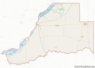
Havana location map. Where is Havana city?


History
Havana was a major ancient American settlement two thousand years ago, when the largest verified mound of the Western Hopewell Culture was built. Local landmarks were mentioned in the journals of French explorers in the late 1600s. A religious medal dating from the early 1700s suggests that there was missionary activity in what is now Havana. When permanent English-speaking residents arrived in 1822, there was a Pottawatomie village on the site. A ferry was established to the western bank of the Illinois River to a road that followed the Spoon River. There were War of 1812 bounty lands in western Illinois.
Abraham Lincoln was a frequent visitor to Havana between his days as a soldier in the Black Hawk Wars until at least his three-hour speech on the Rockwell Mound while he was running for the US Senate in 1858. Stephen Douglas had spoken there the day before. When he was younger, Lincoln rode a mail route from New Salem to Havana. Later, he was a local surveyor, and then an itinerant attorney. Mason County was the only place where Lincoln owned farmland. The English-speaking settlement was originally called “Ross’s Ferry” and was later named after Havana, the capital of Cuba. Havana was notorious as a gambling river town, and it is reported that names such as Al Capone would hunt, fish, and gamble in the local clubs.
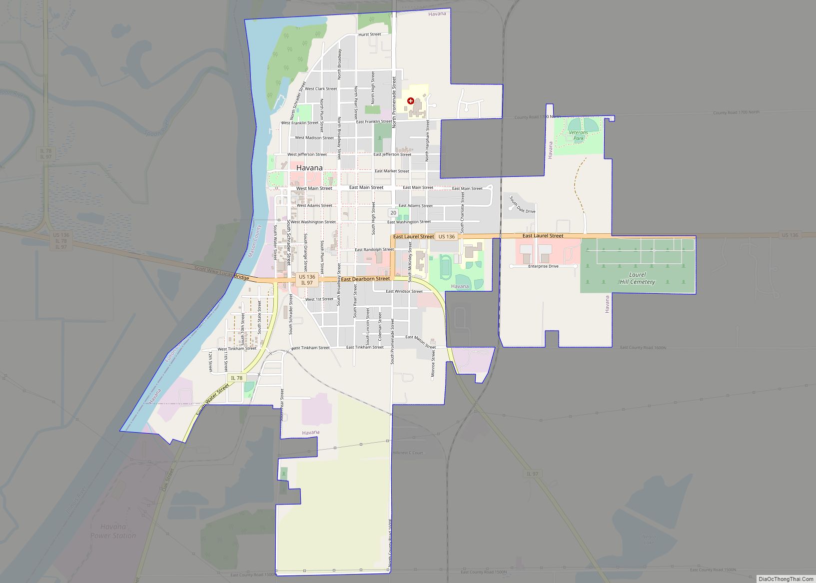
Havana Road Map
Havana city Satellite Map
Geography
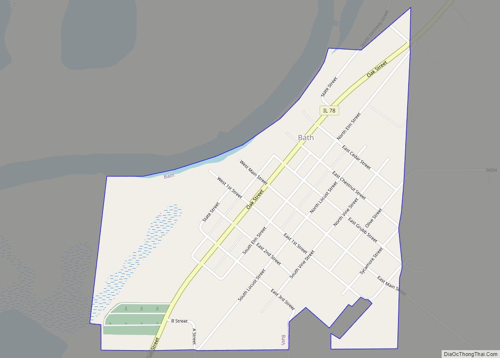
Havana is located in western Mason County on the Illinois River. U.S. Route 136 passes through the city as Dearborn Street, South Promenade Street, and East Laurel Street, leading east 24 miles (39 km) to San Jose and west 40 miles (64 km) to Macomb. US 136 crosses the Illinois River on the Scott Wike Lucas Bridge. Illinois Routes 78 and 97 join US 136 passing through Havana and crossing the Illinois River. IL 78 leads south-southwest (downriver) 9 miles (14 km) to Bath and north 21 miles (34 km) to Canton, while IL 97 leads south-southeast 11 miles (18 km) to Kilbourne and northwest 11 miles (18 km) to Lewistown. Chautauqua National Wildlife Refuge is 8 miles (13 km) northeast of Havana, along the Illinois River.
According to the U.S. Census Bureau, Havana has a total area of 2.94 square miles (7.61 km), of which 2.78 square miles (7.20 km) are land and 0.17 square miles (0.44 km), or 5.61%, are water.
See also
Map of Illinois State and its subdivision:- Adams
- Alexander
- Bond
- Boone
- Brown
- Bureau
- Calhoun
- Carroll
- Cass
- Champaign
- Christian
- Clark
- Clay
- Clinton
- Coles
- Cook
- Crawford
- Cumberland
- De Kalb
- De Witt
- Douglas
- Dupage
- Edgar
- Edwards
- Effingham
- Fayette
- Ford
- Franklin
- Fulton
- Gallatin
- Greene
- Grundy
- Hamilton
- Hancock
- Hardin
- Henderson
- Henry
- Iroquois
- Jackson
- Jasper
- Jefferson
- Jersey
- Jo Daviess
- Johnson
- Kane
- Kankakee
- Kendall
- Knox
- La Salle
- Lake
- Lake Michigan
- Lawrence
- Lee
- Livingston
- Logan
- Macon
- Macoupin
- Madison
- Marion
- Marshall
- Mason
- Massac
- McDonough
- McHenry
- McLean
- Menard
- Mercer
- Monroe
- Montgomery
- Morgan
- Moultrie
- Ogle
- Peoria
- Perry
- Piatt
- Pike
- Pope
- Pulaski
- Putnam
- Randolph
- Richland
- Rock Island
- Saint Clair
- Saline
- Sangamon
- Schuyler
- Scott
- Shelby
- Stark
- Stephenson
- Tazewell
- Union
- Vermilion
- Wabash
- Warren
- Washington
- Wayne
- White
- Whiteside
- Will
- Williamson
- Winnebago
- Woodford
- Alabama
- Alaska
- Arizona
- Arkansas
- California
- Colorado
- Connecticut
- Delaware
- District of Columbia
- Florida
- Georgia
- Hawaii
- Idaho
- Illinois
- Indiana
- Iowa
- Kansas
- Kentucky
- Louisiana
- Maine
- Maryland
- Massachusetts
- Michigan
- Minnesota
- Mississippi
- Missouri
- Montana
- Nebraska
- Nevada
- New Hampshire
- New Jersey
- New Mexico
- New York
- North Carolina
- North Dakota
- Ohio
- Oklahoma
- Oregon
- Pennsylvania
- Rhode Island
- South Carolina
- South Dakota
- Tennessee
- Texas
- Utah
- Vermont
- Virginia
- Washington
- West Virginia
- Wisconsin
- Wyoming