Lake Summerset is a census-designated place (CDP) in Stephenson and Winnebago counties in Illinois. The population was 2,048 at the 2010 census. Lake Summerset CDP overview: Name: Lake Summerset CDP LSAD Code: 57 LSAD Description: CDP (suffix) State: Illinois County: Stephenson County, Winnebago County Elevation: 860 ft (260 m) Total Area: 2.56 sq mi (6.62 km²) Land Area: 2.12 sq mi (5.49 km²) ... Read more
Illinois Cities and Places
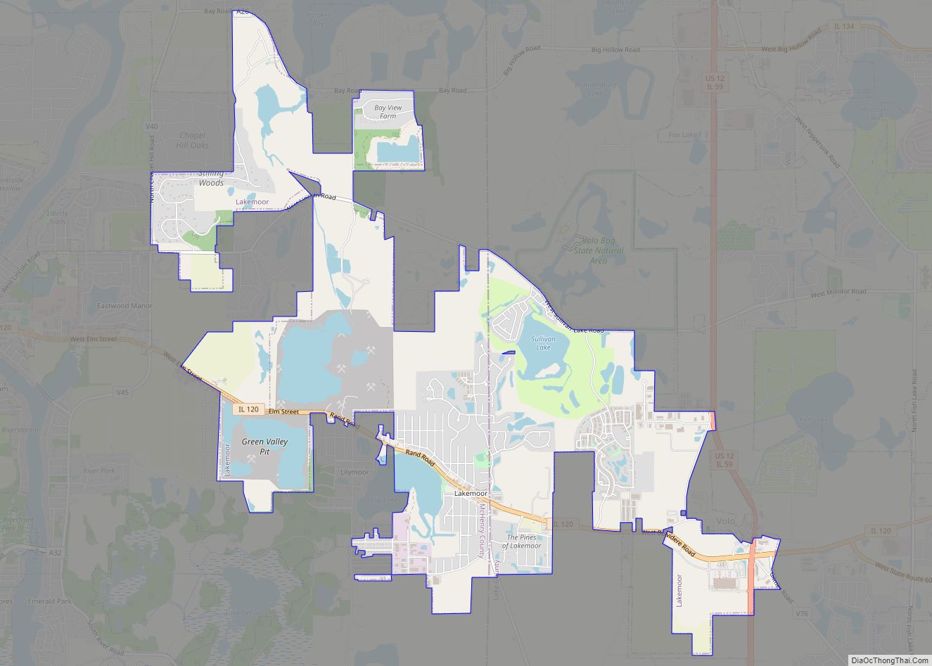
Lakemoor is a village in Lake and McHenry counties in the U.S. state of Illinois. Per the 2020 census, the population was 6,182. Lakemoor village overview: Name: Lakemoor village LSAD Code: 47 LSAD Description: village (suffix) State: Illinois County: Lake County, McHenry County Elevation: 748 ft (228 m) Total Area: 5.54 sq mi (14.36 km²) Land Area: 5.30 sq mi (13.73 km²) Water ... Read more
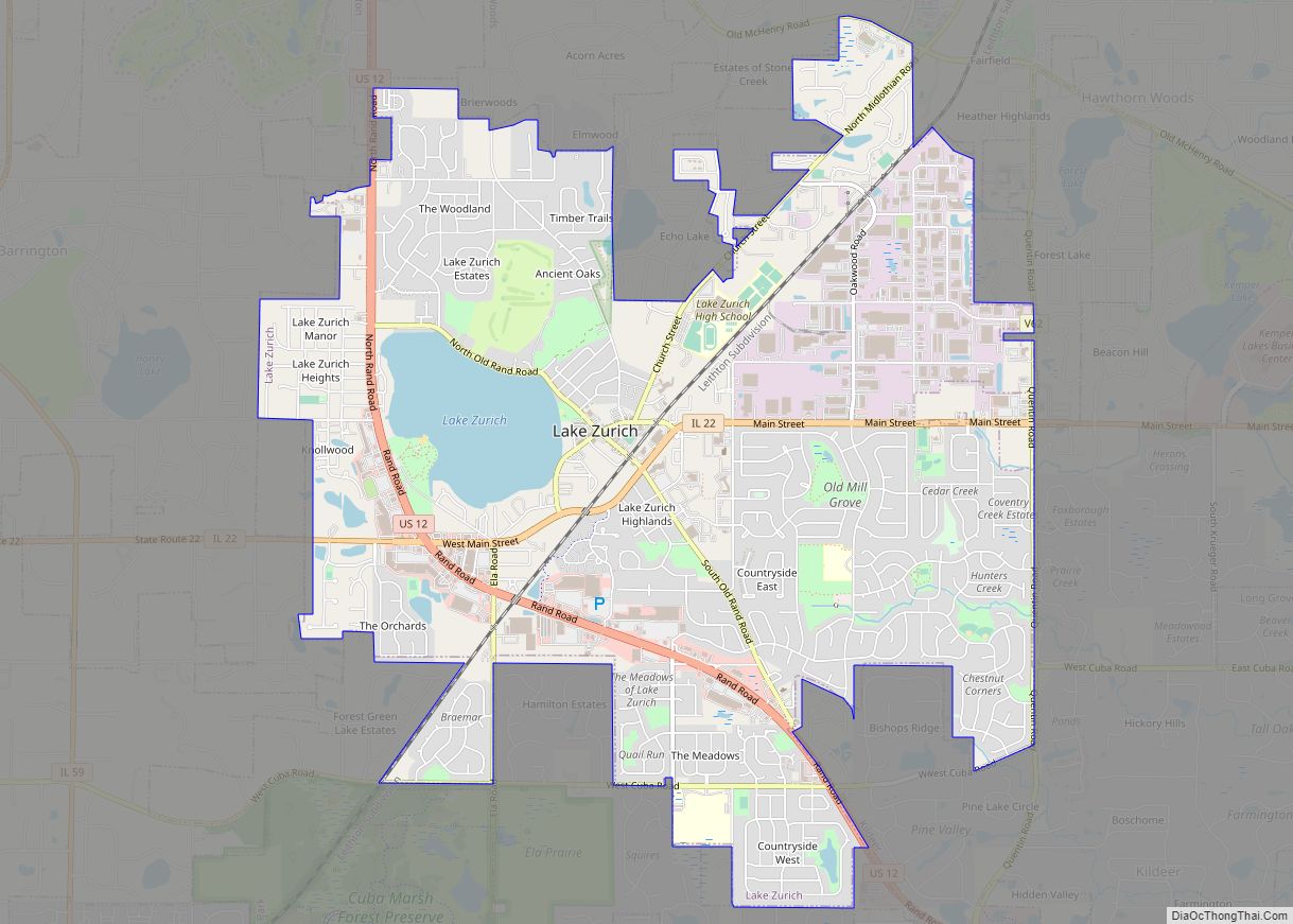
Lake Zurich is a village in Lake County, Illinois, United States, a northwest suburb of Chicago. Per the 2020 census, the population was 19,759. The village is named after a body of water named “Lake Zurich,” which is completely located inside the village. Lake Zurich village overview: Name: Lake Zurich village LSAD Code: 47 LSAD ... Read more
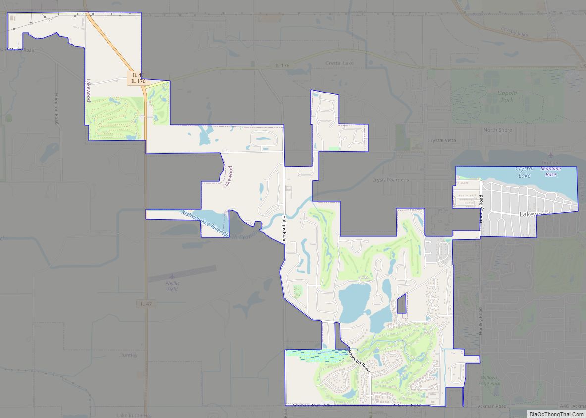
The Village of Lakewood is a village in McHenry County, Illinois, United States. It was incorporated as a village on July 10, 1933. Per the 2020 census, the population was 4,283. Although commonly referred to as Lakewood, the town’s proper name is preceded by ‘The Village of’. Lakewood village overview: Name: Lakewood village LSAD Code: ... Read more
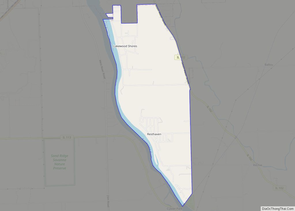
Lakewood Shores is a census-designated place (CDP) in Will County, Illinois, United States. The population was 665 at the 2020 census. Lakewood Shores CDP overview: Name: Lakewood Shores CDP LSAD Code: 57 LSAD Description: CDP (suffix) State: Illinois County: Will County Elevation: 564 ft (172 m) Total Area: 0.43 sq mi (1.11 km²) Land Area: 0.35 sq mi (0.90 km²) Water Area: 0.08 sq mi ... Read more
Langleyville (also Calloway) is an unincorporated census-designated place in Christian County, Illinois, United States. As of the 2020 census, it had a population of 391. Langleyville CDP overview: Name: Langleyville CDP LSAD Code: 57 LSAD Description: CDP (suffix) State: Illinois County: Christian County Elevation: 604 ft (184 m) Total Area: 0.39 sq mi (1.02 km²) Land Area: 0.39 sq mi (1.02 km²) Water ... Read more
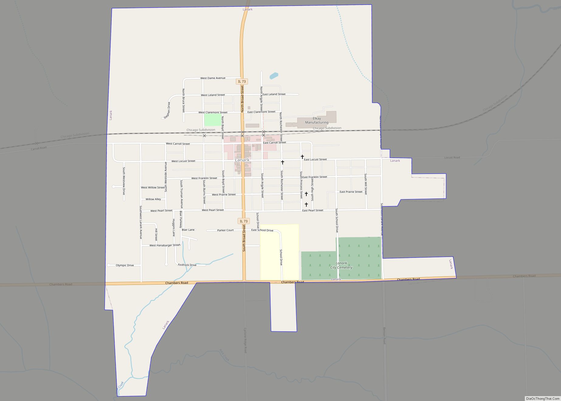
Lanark is a city in Carroll County, Illinois, United States. The population was 1,504 at the 2020 census, down from 1,584 at the 2010 census. The city was named after Lanark, in Scotland. Lanark city overview: Name: Lanark city LSAD Code: 25 LSAD Description: city (suffix) State: Illinois County: Carroll County Founded: 1861 Elevation: 879 ft ... Read more
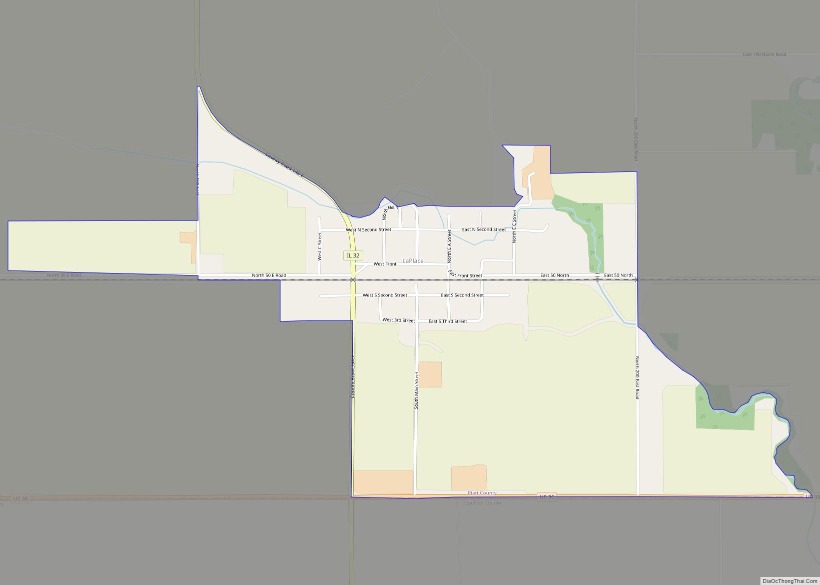
LaPlace CDP overview: Name: LaPlace CDP LSAD Code: 57 LSAD Description: CDP (suffix) State: Illinois County: Piatt County FIPS code: 1742067 Online Interactive Map LaPlace online map. Source: Basemap layers from Google Map, Open Street Map (OSM), Arcgisonline, Wmflabs. Boundary Data from Database of Global Administrative Areas. LaPlace location map. Where is LaPlace CDP? LaPlace ... Read more
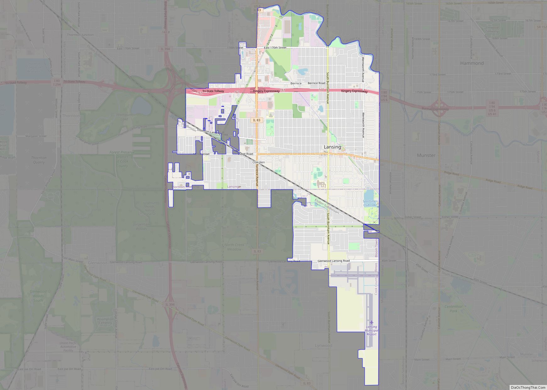
Lansing is a village in Cook County, Illinois, United States. Lansing is a south suburb of Chicago. The population was 29,076 at the 2020 census. Lansing village overview: Name: Lansing village LSAD Code: 47 LSAD Description: village (suffix) State: Illinois County: Cook County Incorporated: 1893 Total Area: 7.52 sq mi (19.48 km²) Land Area: 7.46 sq mi (19.33 km²) Water Area: ... Read more
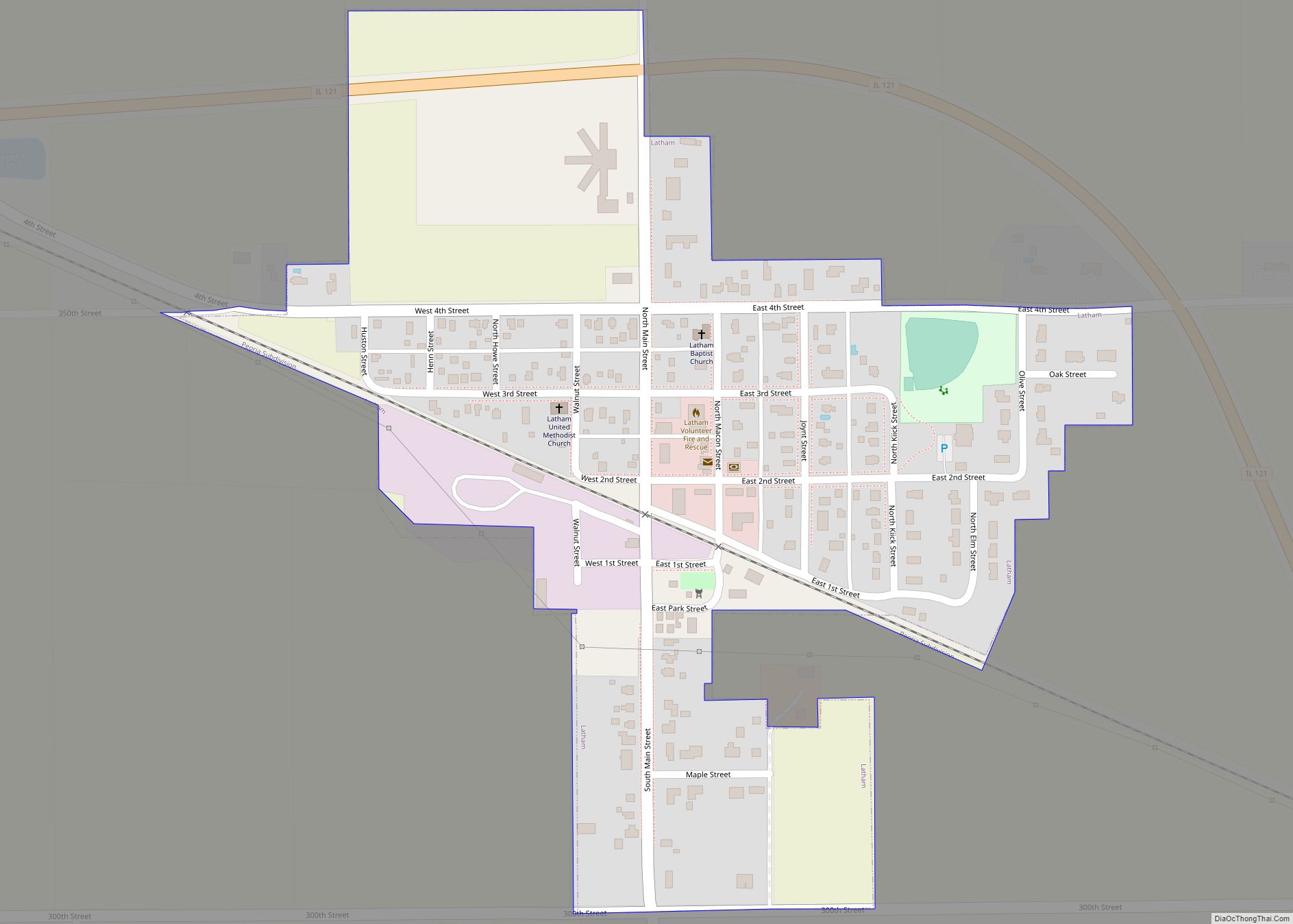
Latham is a village in Logan County, Illinois, United States. The population was 380 at the 2010 census. Latham village overview: Name: Latham village LSAD Code: 47 LSAD Description: village (suffix) State: Illinois County: Logan County Elevation: 620 ft (190 m) Total Area: 0.27 sq mi (0.71 km²) Land Area: 0.27 sq mi (0.71 km²) Water Area: 0.00 sq mi (0.00 km²) Total Population: 333 Population ... Read more
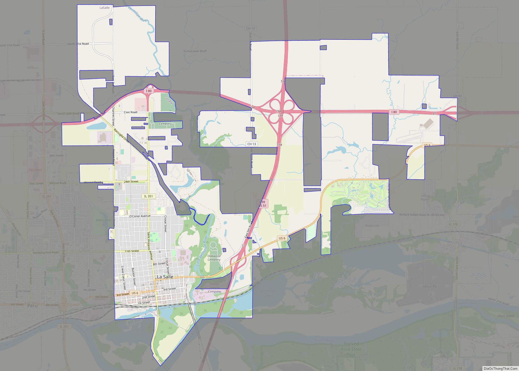
LaSalle or La Salle is a city in LaSalle County, Illinois, United States, located at the intersection of Interstates 39 and 80. It is part of the Ottawa, IL Micropolitan Statistical Area. Originally platted in 1837 over one square mile (2.6 square kilometers), the city’s boundaries have grown to 12 sq mi (31 km). City boundaries extend from ... Read more
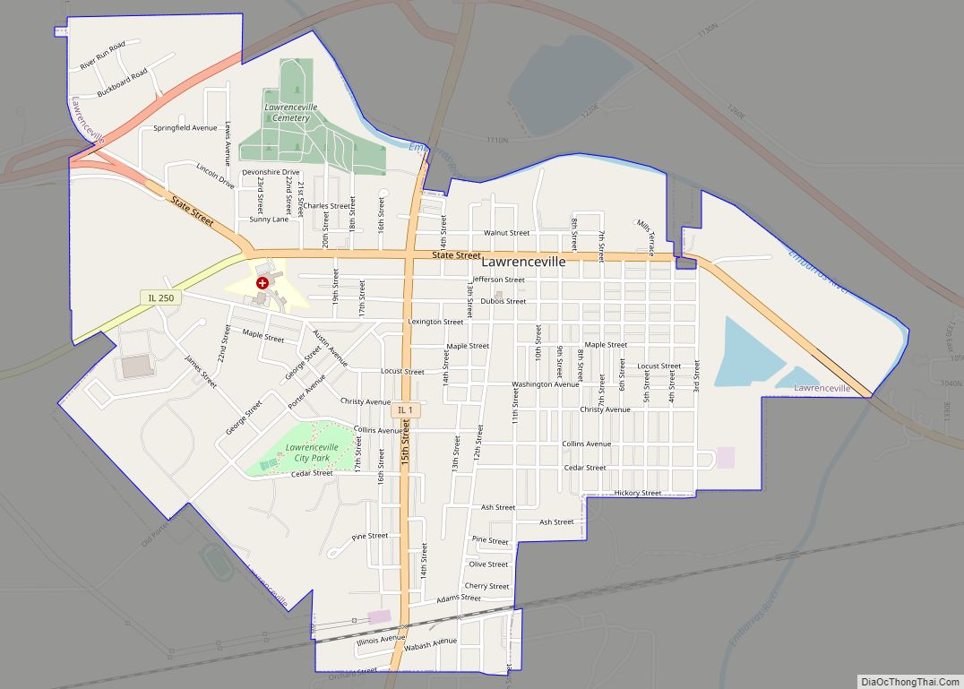
Lawrenceville is a city in and the county seat of Lawrence County, Illinois, United States, located along the Embarras River. The population was 4,348 at the 2010 census. Lawrenceville is located in southeast Illinois, northwest of Vincennes, Indiana. The city is home of the Lawrenceville “Indians”, Illinois Class A high school state basketball champions in ... Read more

