Lansing is a village in Cook County, Illinois, United States. Lansing is a south suburb of Chicago. The population was 29,076 at the 2020 census.
| Name: | Lansing village |
|---|---|
| LSAD Code: | 47 |
| LSAD Description: | village (suffix) |
| State: | Illinois |
| County: | Cook County |
| Incorporated: | 1893 |
| Total Area: | 7.52 sq mi (19.48 km²) |
| Land Area: | 7.46 sq mi (19.33 km²) |
| Water Area: | 0.06 sq mi (0.15 km²) 0.88% |
| Total Population: | 29,076 |
| Population Density: | 3,896.54/sq mi (1,504.42/km²) |
| Area code: | 708 |
| FIPS code: | 1742028 |
| Website: | villageoflansing.org |
Online Interactive Map
Click on ![]() to view map in "full screen" mode.
to view map in "full screen" mode.
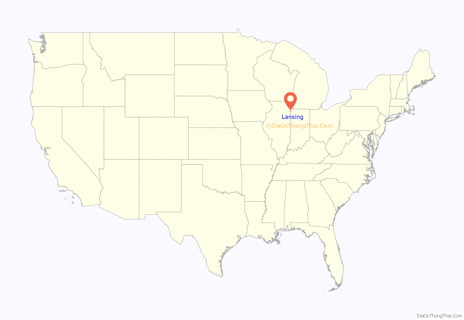
Lansing location map. Where is Lansing village?

History
The first family to settle in Lansing was that of August Hildebrandt in 1843. Henry, George, and John Lansing settled the area in 1846, which was incorporated in 1893. Early settlement in the village was primarily by Dutch and German immigrants. Industrial development of the surrounding Calumet region attracted immigrants from Ireland and Eastern Europe to the village in the 20th century. These settlement patterns are reflected in Lansing’s current demographics; according to the census the top five ancestries that were in Lansing in 2000 were German (17%), Polish (13%), Irish (13%), Dutch (11%), and Italian (7%). However, according to City-data.com 2016 estimates, these ancestries began to change in the mid-90s and early 2000s, when most residents were of African American ancestry (8,871), followed by Latinos (4,183), and Asian (Southeast Asian) (255).
Lansing Road Map
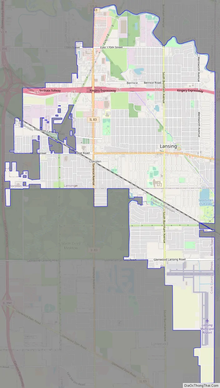
Lansing city Satellite Map

Geography
Lansing is located at 41°33′57″N 87°32′45″W / 41.56583°N 87.54583°W / 41.56583; -87.54583 (41.565785, -87.545791). It is 6.9 miles (11.1 km) south of the Chicago city limits at 138th Street, and 25.6 miles (41.2 km) from the Chicago Loop.
According to the 2021 census gazetteer files, Lansing has a total area of 7.52 square miles (19.48 km), of which 7.46 square miles (19.32 km) (or 99.24%) is land and 0.06 square miles (0.16 km) (or 0.76%) is water. Lansing sits on the Calumet Shoreline, an ancient shoreline of Lake Michigan. This shoreline runs along Ridge Road.
Surrounding areas
Lansing is bordered by South Holland to the northwest, Calumet City to the north, Hammond to the northeast, Munster to the east and southeast, Lynwood to the south, Glenwood to the southwest, and Thornton to the west.
See also
Map of Illinois State and its subdivision:- Adams
- Alexander
- Bond
- Boone
- Brown
- Bureau
- Calhoun
- Carroll
- Cass
- Champaign
- Christian
- Clark
- Clay
- Clinton
- Coles
- Cook
- Crawford
- Cumberland
- De Kalb
- De Witt
- Douglas
- Dupage
- Edgar
- Edwards
- Effingham
- Fayette
- Ford
- Franklin
- Fulton
- Gallatin
- Greene
- Grundy
- Hamilton
- Hancock
- Hardin
- Henderson
- Henry
- Iroquois
- Jackson
- Jasper
- Jefferson
- Jersey
- Jo Daviess
- Johnson
- Kane
- Kankakee
- Kendall
- Knox
- La Salle
- Lake
- Lake Michigan
- Lawrence
- Lee
- Livingston
- Logan
- Macon
- Macoupin
- Madison
- Marion
- Marshall
- Mason
- Massac
- McDonough
- McHenry
- McLean
- Menard
- Mercer
- Monroe
- Montgomery
- Morgan
- Moultrie
- Ogle
- Peoria
- Perry
- Piatt
- Pike
- Pope
- Pulaski
- Putnam
- Randolph
- Richland
- Rock Island
- Saint Clair
- Saline
- Sangamon
- Schuyler
- Scott
- Shelby
- Stark
- Stephenson
- Tazewell
- Union
- Vermilion
- Wabash
- Warren
- Washington
- Wayne
- White
- Whiteside
- Will
- Williamson
- Winnebago
- Woodford
- Alabama
- Alaska
- Arizona
- Arkansas
- California
- Colorado
- Connecticut
- Delaware
- District of Columbia
- Florida
- Georgia
- Hawaii
- Idaho
- Illinois
- Indiana
- Iowa
- Kansas
- Kentucky
- Louisiana
- Maine
- Maryland
- Massachusetts
- Michigan
- Minnesota
- Mississippi
- Missouri
- Montana
- Nebraska
- Nevada
- New Hampshire
- New Jersey
- New Mexico
- New York
- North Carolina
- North Dakota
- Ohio
- Oklahoma
- Oregon
- Pennsylvania
- Rhode Island
- South Carolina
- South Dakota
- Tennessee
- Texas
- Utah
- Vermont
- Virginia
- Washington
- West Virginia
- Wisconsin
- Wyoming


