The Village of Lakewood is a village in McHenry County, Illinois, United States. It was incorporated as a village on July 10, 1933. Per the 2020 census, the population was 4,283. Although commonly referred to as Lakewood, the town’s proper name is preceded by ‘The Village of’.
| Name: | Lakewood village |
|---|---|
| LSAD Code: | 47 |
| LSAD Description: | village (suffix) |
| State: | Illinois |
| County: | McHenry County |
| Founded: | July 10, 1933 |
| Total Area: | 4.89 sq mi (12.66 km²) |
| Land Area: | 4.59 sq mi (11.88 km²) |
| Water Area: | 0.30 sq mi (0.78 km²) |
| Total Population: | 4,283 |
| Population Density: | 933.73/sq mi (360.52/km²) |
| Area code: | 815 |
| FIPS code: | 1741651 |
| Website: | http://www.village.lakewood.il.us/ |
Online Interactive Map
Click on ![]() to view map in "full screen" mode.
to view map in "full screen" mode.
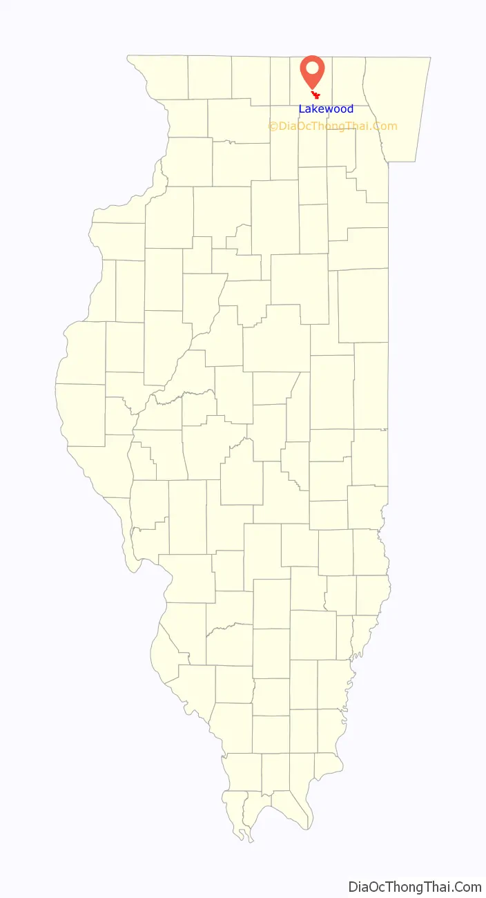
Lakewood location map. Where is Lakewood village?

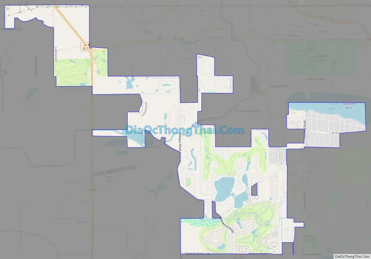
Lakewood Road Map
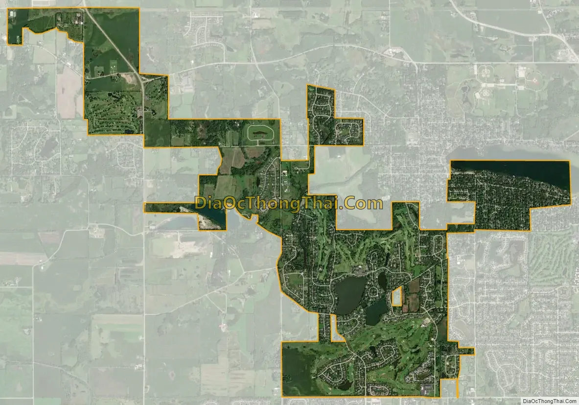
Lakewood city Satellite Map
Geography
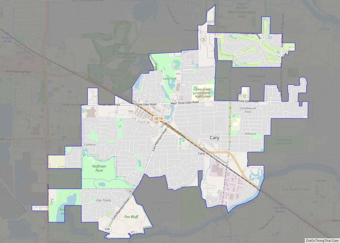
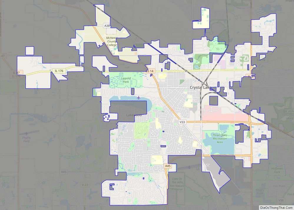
The Village at Lakewood is located in McHenry County in the state of Illinois. The Village shares its boundaries with the City of Crystal Lake, Village of Lake in the Hills, Village of Huntley, and City of Woodstock.
The Village covers just under 4 square miles (10 km). There are about 650 acres (2.6 km) of open space, which equals about 3/4 acre per household. There are 6 lakes, including Crystal Lake which is situated partially in the Village and partially in the City of Crystal Lake, Illinois. The Village is home to two golf courses and several natural areas or wetlands, including the Kishwaukee Fen Nature Preserve. There are also a number of public and private parks and beaches within the Village, as well as walking and bicycle paths and permanent open spaces in the newer subdivisions. Lakewood’s recreational areas are West Beach, Crystal Lake, and a number of parks that dot the area.
Small parks, beaches, and boat docks along Crystal Lake’s South Shore are private and maintained for use by members of the Country Club Additions Property Owners Association (CCAPOA). This is a homeowners association-like entity for Lakewood houses from approximately Country Club Road (named for Crystal Lake Country Club just to the south) and extending to the south lakeshore. Roads in this lakeside area have decorative posts on the corner of streets intersecting Lake Shore Drive and are called “Gates”, such as “Gate 7”. The CCAPOA parks take their names from these gates, so a lakeside park would be called “Gate 7 Beach” locally.
Lakewood is located at 42°13′26″N 88°22′18″W / 42.22389°N 88.37167°W / 42.22389; -88.37167 (42.223864, -88.371662), immediately adjacent to Crystal Lake, Illinois.
According to the 2010 census, Lakewood has a total area of 3.974 square miles (10.29 km), of which 3.67 square miles (9.51 km) (or 92.35%) is land and 0.304 square miles (0.79 km) (or 7.65%) is water.
See also
Map of Illinois State and its subdivision:- Adams
- Alexander
- Bond
- Boone
- Brown
- Bureau
- Calhoun
- Carroll
- Cass
- Champaign
- Christian
- Clark
- Clay
- Clinton
- Coles
- Cook
- Crawford
- Cumberland
- De Kalb
- De Witt
- Douglas
- Dupage
- Edgar
- Edwards
- Effingham
- Fayette
- Ford
- Franklin
- Fulton
- Gallatin
- Greene
- Grundy
- Hamilton
- Hancock
- Hardin
- Henderson
- Henry
- Iroquois
- Jackson
- Jasper
- Jefferson
- Jersey
- Jo Daviess
- Johnson
- Kane
- Kankakee
- Kendall
- Knox
- La Salle
- Lake
- Lake Michigan
- Lawrence
- Lee
- Livingston
- Logan
- Macon
- Macoupin
- Madison
- Marion
- Marshall
- Mason
- Massac
- McDonough
- McHenry
- McLean
- Menard
- Mercer
- Monroe
- Montgomery
- Morgan
- Moultrie
- Ogle
- Peoria
- Perry
- Piatt
- Pike
- Pope
- Pulaski
- Putnam
- Randolph
- Richland
- Rock Island
- Saint Clair
- Saline
- Sangamon
- Schuyler
- Scott
- Shelby
- Stark
- Stephenson
- Tazewell
- Union
- Vermilion
- Wabash
- Warren
- Washington
- Wayne
- White
- Whiteside
- Will
- Williamson
- Winnebago
- Woodford
- Alabama
- Alaska
- Arizona
- Arkansas
- California
- Colorado
- Connecticut
- Delaware
- District of Columbia
- Florida
- Georgia
- Hawaii
- Idaho
- Illinois
- Indiana
- Iowa
- Kansas
- Kentucky
- Louisiana
- Maine
- Maryland
- Massachusetts
- Michigan
- Minnesota
- Mississippi
- Missouri
- Montana
- Nebraska
- Nevada
- New Hampshire
- New Jersey
- New Mexico
- New York
- North Carolina
- North Dakota
- Ohio
- Oklahoma
- Oregon
- Pennsylvania
- Rhode Island
- South Carolina
- South Dakota
- Tennessee
- Texas
- Utah
- Vermont
- Virginia
- Washington
- West Virginia
- Wisconsin
- Wyoming