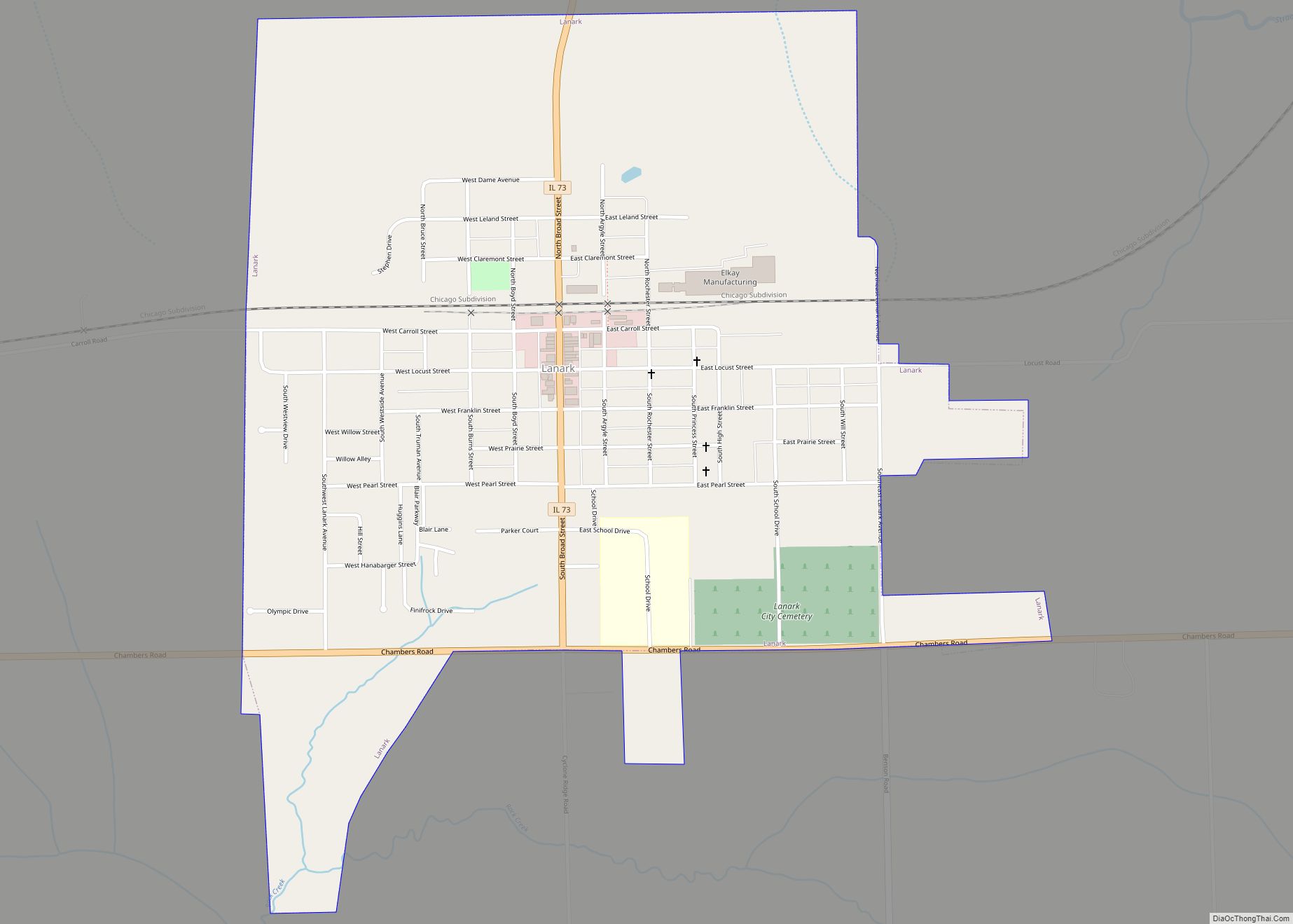
Lanark is a city in Carroll County, Illinois, United States. The population was 1,504 at the 2020 census, down from 1,584 at the 2010 census. The city was named after Lanark, in Scotland.
| Name: | Lanark city |
|---|---|
| LSAD Code: | 25 |
| LSAD Description: | city (suffix) |
| State: | Illinois |
| County: | Carroll County |
| Founded: | 1861 |
| Elevation: | 879 ft (268 m) |
| Total Area: | 1.12 sq mi (2.90 km²) |
| Land Area: | 1.12 sq mi (2.90 km²) |
| Water Area: | 0.00 sq mi (0.00 km²) |
| Population Density: | 1,341.66/sq mi (518.21/km²) |
| Area code: | 815 |
| FIPS code: | 1741859 |
| Website: | http://www.lanarkil.com/ |
Online Interactive Map
Click on ![]() to view map in "full screen" mode.
to view map in "full screen" mode.
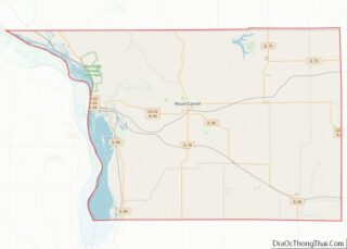
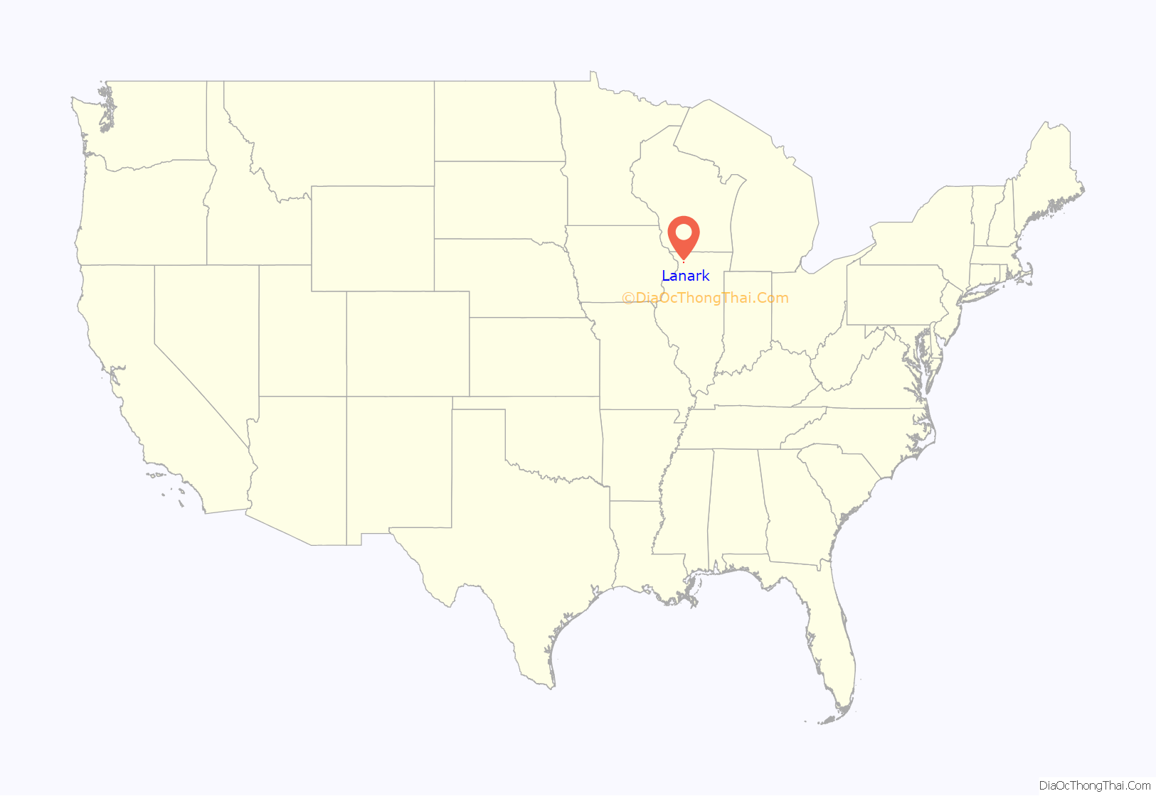
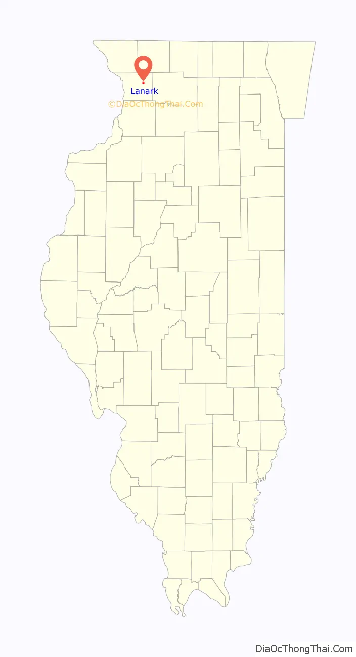
Lanark location map. Where is Lanark city?
History
Under the auspices of the Chicago, Milwaukee, St. Paul and Pacific Railroad (Milwaukee Road), Daniel W. Dame purchased 500 acres (200 ha), laid out the city of Lanark, and was elected its first mayor in 1861. In 1886, 40 residents each donated one dollar to form a public library, and a primary and secondary school was completed in August 1871. On November 25, 1893, the original school was destroyed by fire.
Early in the Twentieth Century, Lanark was home to the Cotta steam car company.
In 1986 Lanark High School was consolidated with nearby Shannon High School to form the Eastland School District. The high school and grade school were originally located in Lanark, with the middle school in Shannon. After the end of the 2012–2013 school year, the Eastland School Board made the decision to close the Elementary building in Lanark, and move those students to the Shannon building. The Middle School students were then relocated to the High School building in Lanark, now known as the Eastland Jr/Sr High School.
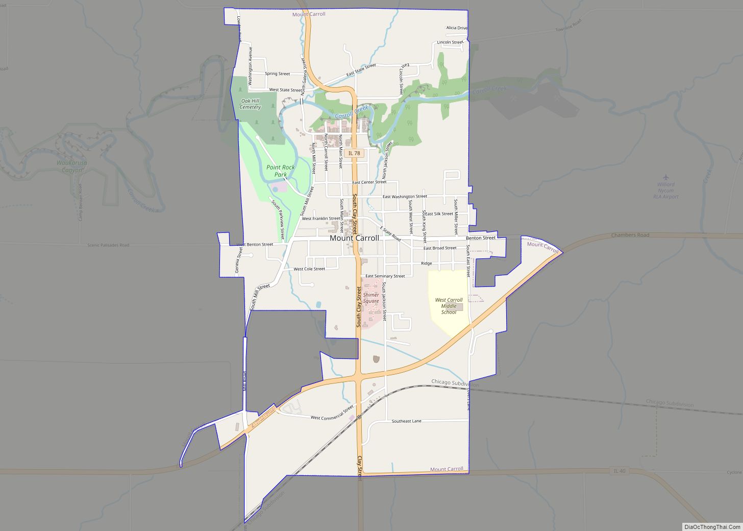
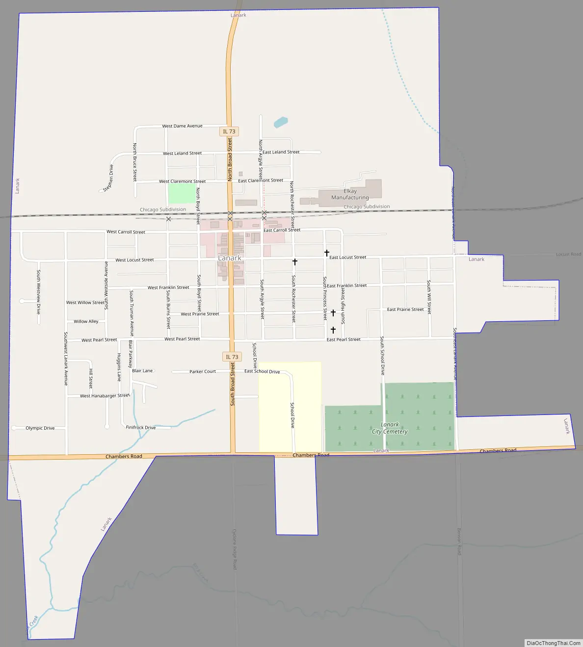
Lanark Road Map
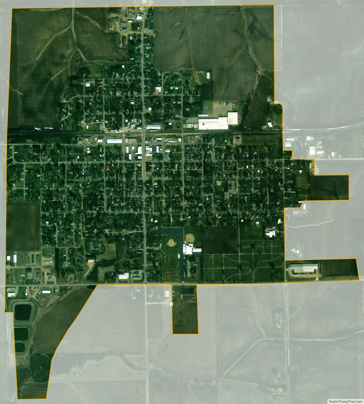
Lanark city Satellite Map
Geography
Lanark is located at 42°6′5″N 89°49′56″W / 42.10139°N 89.83222°W / 42.10139; -89.83222 (42.101346, -89.832120).
According to the 2021 census gazetteer files, Lanark has a total area of 1.12 square miles (2.90 km), all land.
Climate
See also
Map of Illinois State and its subdivision:- Adams
- Alexander
- Bond
- Boone
- Brown
- Bureau
- Calhoun
- Carroll
- Cass
- Champaign
- Christian
- Clark
- Clay
- Clinton
- Coles
- Cook
- Crawford
- Cumberland
- De Kalb
- De Witt
- Douglas
- Dupage
- Edgar
- Edwards
- Effingham
- Fayette
- Ford
- Franklin
- Fulton
- Gallatin
- Greene
- Grundy
- Hamilton
- Hancock
- Hardin
- Henderson
- Henry
- Iroquois
- Jackson
- Jasper
- Jefferson
- Jersey
- Jo Daviess
- Johnson
- Kane
- Kankakee
- Kendall
- Knox
- La Salle
- Lake
- Lake Michigan
- Lawrence
- Lee
- Livingston
- Logan
- Macon
- Macoupin
- Madison
- Marion
- Marshall
- Mason
- Massac
- McDonough
- McHenry
- McLean
- Menard
- Mercer
- Monroe
- Montgomery
- Morgan
- Moultrie
- Ogle
- Peoria
- Perry
- Piatt
- Pike
- Pope
- Pulaski
- Putnam
- Randolph
- Richland
- Rock Island
- Saint Clair
- Saline
- Sangamon
- Schuyler
- Scott
- Shelby
- Stark
- Stephenson
- Tazewell
- Union
- Vermilion
- Wabash
- Warren
- Washington
- Wayne
- White
- Whiteside
- Will
- Williamson
- Winnebago
- Woodford
- Alabama
- Alaska
- Arizona
- Arkansas
- California
- Colorado
- Connecticut
- Delaware
- District of Columbia
- Florida
- Georgia
- Hawaii
- Idaho
- Illinois
- Indiana
- Iowa
- Kansas
- Kentucky
- Louisiana
- Maine
- Maryland
- Massachusetts
- Michigan
- Minnesota
- Mississippi
- Missouri
- Montana
- Nebraska
- Nevada
- New Hampshire
- New Jersey
- New Mexico
- New York
- North Carolina
- North Dakota
- Ohio
- Oklahoma
- Oregon
- Pennsylvania
- Rhode Island
- South Carolina
- South Dakota
- Tennessee
- Texas
- Utah
- Vermont
- Virginia
- Washington
- West Virginia
- Wisconsin
- Wyoming