Map of Lewistown city

Map of Lewistown city, Illinois

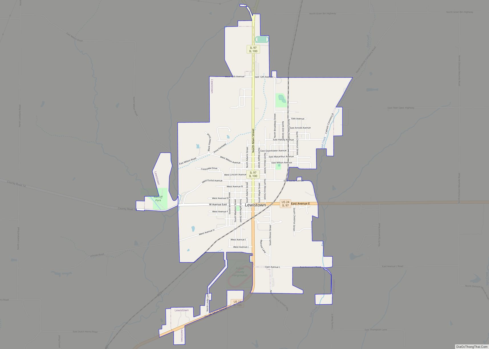
Lewistown is a city in Fulton County, Illinois, United States. It was named by its founder, Ossian M. Ross, after his oldest son, Lewis W. Ross. The population was 2,384 at the 2010 census, down from 2,522 at the 2000 census. It is the county seat of Fulton County. Located in central Illinois, it is … Read more

Map of Libertyville village, Illinois

Map of Libertyville village, Illinois

Libertyville is a village in Lake County, Illinois, United States, and a northern suburb of Chicago. It is located 5 miles (8 km) west of Lake Michigan along the Des Plaines River. The 2020 census population was 20,579. It is part of Libertyville Township, which includes the village, neighboring Green Oaks, and portions of Vernon Hills, … Read more

Map of Liberty village

Map of Liberty village, Illinois

Liberty is a village in Adams County, Illinois, United States. The population was 543 at the 2020 census. It is part of the Quincy, IL–MO Micropolitan Statistical Area. Liberty village overview: Name: Liberty village LSAD Code: 47 LSAD Description: village (suffix) State: Illinois County: Adams County Elevation: 758 ft (231 m) Total Area: 0.39 sq mi (1.01 km²) Land Area: … Read more

Map of Lima village

Map of Lima village, Illinois

Lima /ˈlaɪmə/ is a village in Adams County, Illinois, United States. It is part of the Quincy, IL–MO Micropolitan Statistical Area. As of the 2020 census, the population was 148. Lima village overview: Name: Lima village LSAD Code: 47 LSAD Description: village (suffix) State: Illinois County: Adams County Elevation: 650 ft (200 m) Total Area: 0.14 sq mi (0.35 km²) … Read more

Map of Lily Lake village

Map of Lily Lake village, Illinois

Lily Lake is a small rural village in Kane County, Illinois, United States. The town is 15 miles (24 km) southwest of Elgin and 50 miles (80 km) west of Chicago. The village is in the far western part the Chicago metro area. It was incorporated as a village on November 6, 1990. The population was 1,032 … Read more

Map of Lincoln city, Illinois

Map of Lincoln city, Illinois

Lincoln is a city in Logan County, Illinois, United States. First settled in the 1830s, it is the only town in the United States that was named for Abraham Lincoln before he became president; he practiced law there from 1847 to 1859. Lincoln is home to two prisons. It is also the home of the … Read more

Map of Limestone village, Illinois

Map of Limestone village, Illinois

Limestone is a village in Limestone Township, Kankakee County, Illinois, United States. It was incorporated in 2006 and had a population of 1,598 at the 2010 census. The village is part of the Kankakee–Bradley Metropolitan Statistical Area, which comprises all of Kankakee County. Limestone village overview: Name: Limestone village LSAD Code: 47 LSAD Description: village … Read more

Map of Lincolnwood village

Map of Lincolnwood village

Lincolnwood (formerly Tessville) is a village in Niles Township, Cook County, Illinois, United States. Per the 2020 census, the population was 13,463. An inner suburb of Chicago, it shares its southern, eastern, and a small section of its western boundary with Chicago, also bordering Skokie to the north and west. Lincolnwood village overview: Name: Lincolnwood … Read more

Map of Lincolnshire village

Map of Lincolnshire village, Illinois

Lincolnshire is a village in Vernon Township, Lake County, in the U.S. state of Illinois. The village is a northern suburb of Chicago. Per the 2020 census, the population was 7,940. Lincolnshire was incorporated on August 5, 1957, from the unincorporated Half Day area when land was purchased to build a residential subdivision. The community … Read more

Map of Lisbon village, Illinois

Map of Lisbon village, Illinois

Lisbon is a village in Kendall County, Illinois, United States. The population was 271 at the 2020 census. The community was established in 1836 with a log tavern and a highway connecting Joliet to Chicago Road. This led to the addition of a post office, an enterprise, and a schoolhouse. The town became part of … Read more

Map of Lindenhurst village

Map of Lindenhurst village, Illinois

Lindenhurst is a village in Lake County, Illinois, United States. Per the 2020 census, the population was 14,406. Lindenhurst lies within Lake Villa Township. Lindenhurst village overview: Name: Lindenhurst village LSAD Code: 47 LSAD Description: village (suffix) State: Illinois County: Lake County Total Area: 4.86 sq mi (12.60 km²) Land Area: 4.53 sq mi (11.72 km²) Water Area: 0.34 sq mi (0.87 km²) Total … Read more

Map of Litchfield city, Illinois

Map of Litchfield city, Illinois

Litchfield is a city in Montgomery County, Illinois, United States. The population was 6,605 at the 2020 census. It is located in South Central Illinois, south of Springfield, the state capital. Litchfield city overview: Name: Litchfield city LSAD Code: 25 LSAD Description: city (suffix) State: Illinois County: Montgomery County Founded: 1856 Elevation: 669 ft (204 m) Total … Read more