Lincoln is a city in Logan County, Illinois, United States. First settled in the 1830s, it is the only town in the United States that was named for Abraham Lincoln before he became president; he practiced law there from 1847 to 1859. Lincoln is home to two prisons. It is also the home of the world’s largest covered wagon and numerous other historical sites along the Route 66 corridor.
The population was 13,288 at the 2020 census. It is the county seat of Logan County.
| Name: | Lincoln city |
|---|---|
| LSAD Code: | 25 |
| LSAD Description: | city (suffix) |
| State: | Illinois |
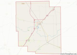
| County: | Logan County |
| Elevation: | 589 ft (180 m) |
| Total Area: | 6.25 sq mi (16.19 km²) |
| Land Area: | 6.25 sq mi (16.18 km²) |
| Water Area: | 0.00 sq mi (0.01 km²) |
| Total Population: | 13,288 |
| Population Density: | 2,127.10/sq mi (821.28/km²) |
| Area code: | 217 |
| FIPS code: | 1743536 |
| GNISfeature ID: | 2395710 |
| Website: | http://www.lincolnil.gov/ |
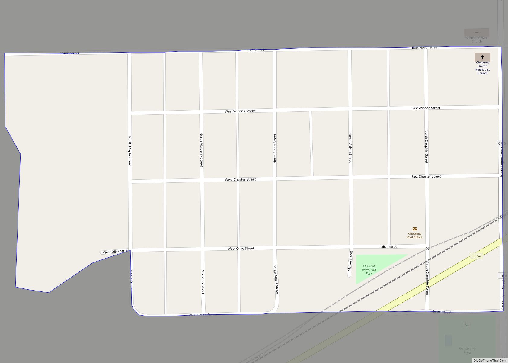
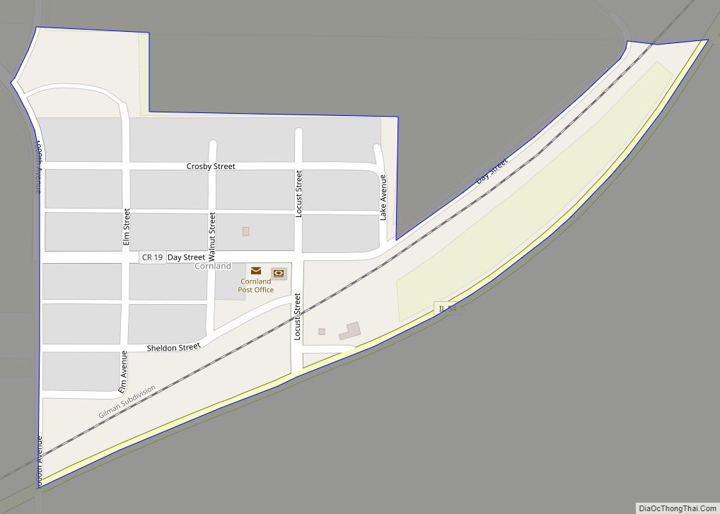
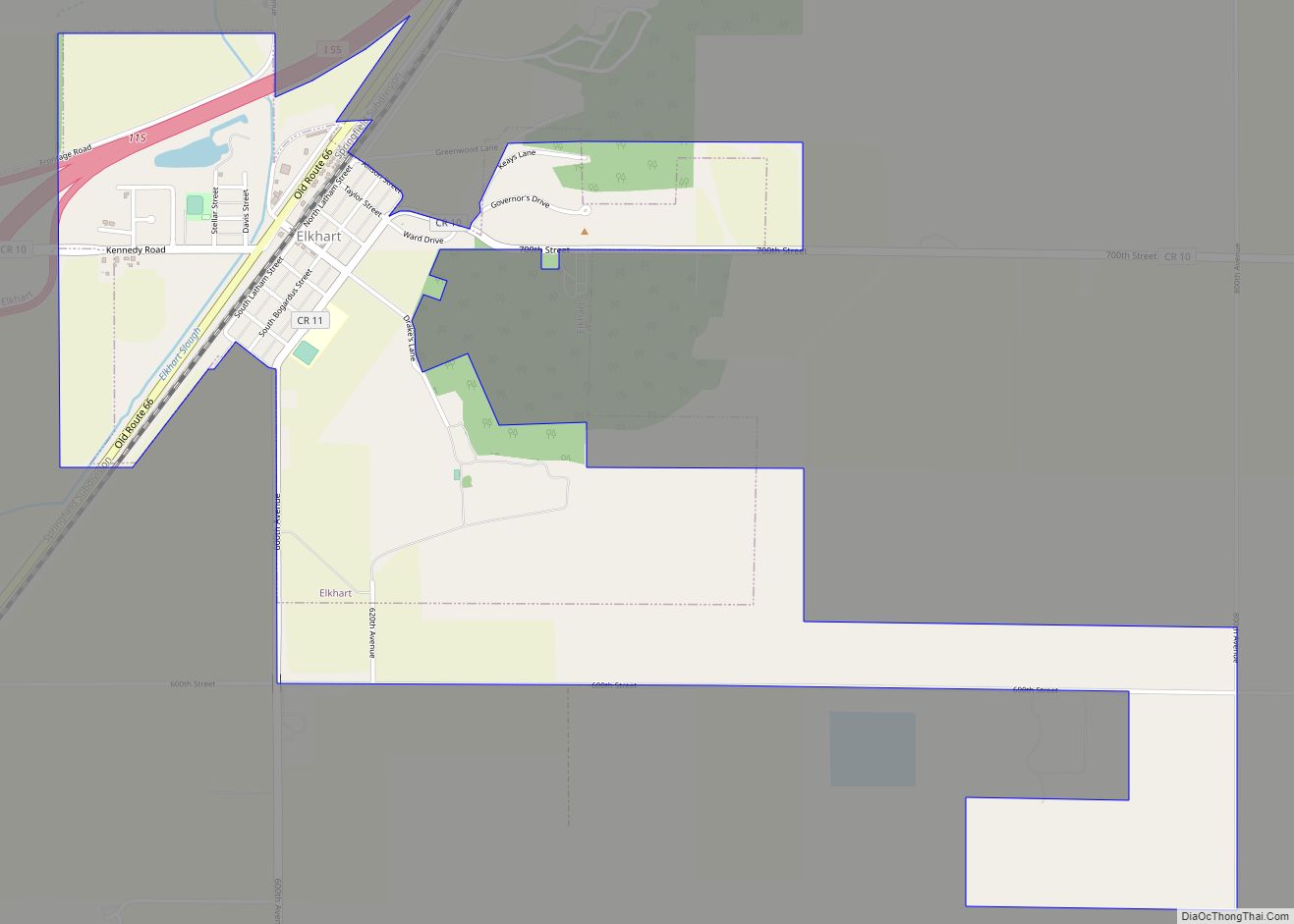
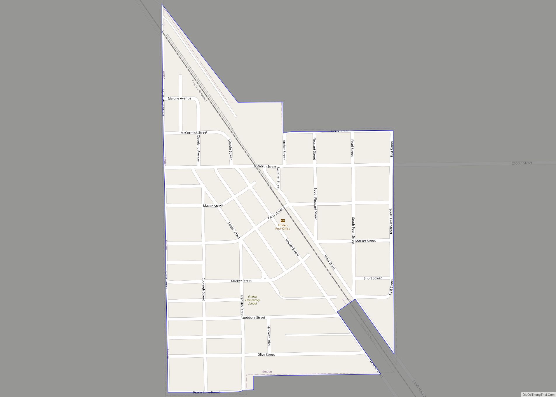
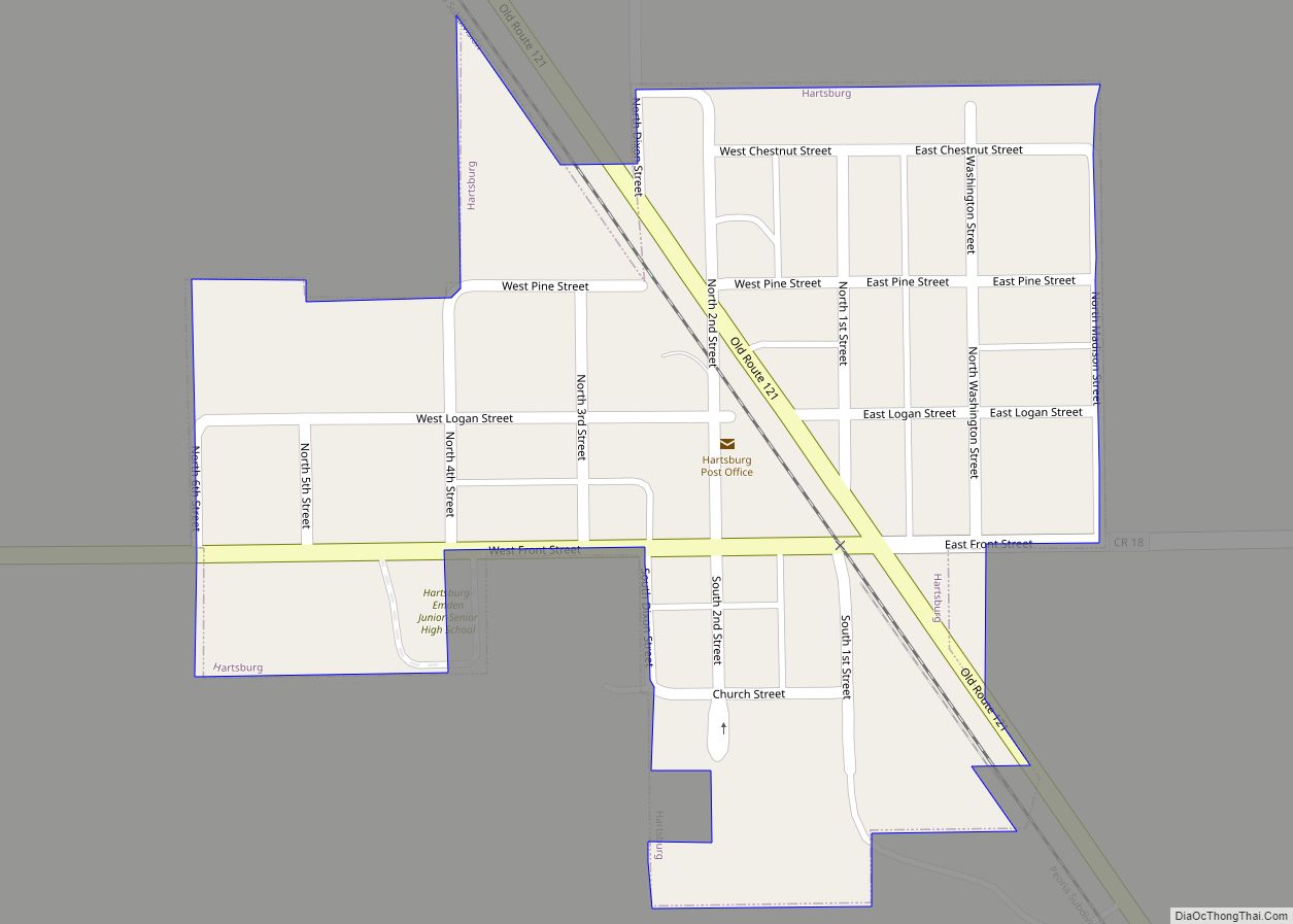
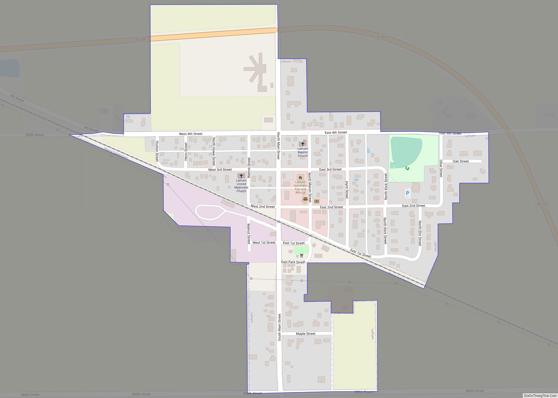
Online Interactive Map
Click on ![]() to view map in "full screen" mode.
to view map in "full screen" mode.
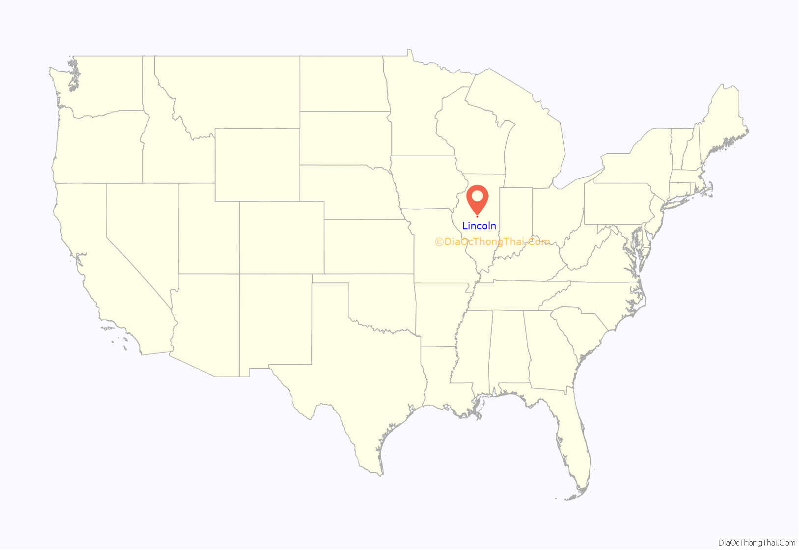
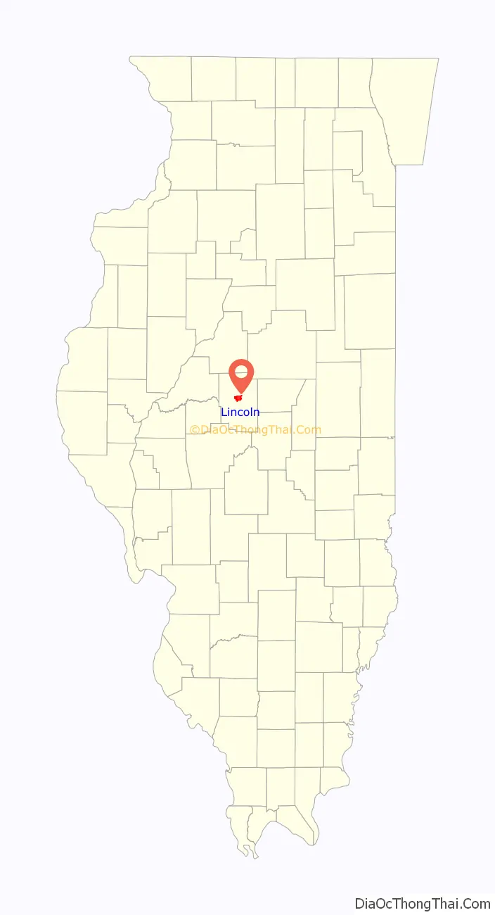
Lincoln location map. Where is Lincoln city?
History
The town was officially named on August 27, 1853, in an unusual ceremony. Abraham Lincoln, having assisted with the platting of the town and working as counsel for the newly laid Chicago & Mississippi Railroad which led to its founding, was asked to participate in a naming ceremony for the town. On this date, the first sale of lots took place in the new town. Ninety were sold at prices ranging from $40 to $150. According to tradition Lincoln was present. At noon he purchased two watermelons and carried one under each arm to the public square. There he invited Latham, Hickox, and Gillette, proprietors, to join him, saying, “Now we’ll christen the new town,” squeezing watermelon juice out on the ground. Legend has it that when it had been proposed to him that the town be named for him, he had advised against it, saying that in his experience, “Nothing bearing the name of Lincoln ever amounted to much.” The town of Lincoln was the first city named after Abraham Lincoln, while he was a lawyer and before he was President of the United States.
Lincoln College (chartered Lincoln University), a private four-year liberal arts college, was founded in early 1865 and granted 2 year degrees until 1929. News of the establishment and name of the school was communicated to President Lincoln shortly before his death, making Lincoln the only college to be named after Lincoln while he was living. The College had an excellent collection of Abraham Lincoln–related documents and artifacts, housed in a museum which is open to the general public.
The City of Lincoln was located directly on U.S. Route 66 from 1926 through 1978. This is its secondary tourist theme after the connection with Abraham Lincoln.
American author Langston Hughes spent one year of his youth in Lincoln. Later on, he was to write to his eighth-grade teacher in Lincoln, telling her his writing career began there in the eighth grade, when he was elected class poet.
American theologians Reinhold Niebuhr and Helmut Richard Niebuhr lived in Lincoln from 1902 through their college years. Reinhold Niebuhr first served as pastor of a church when he served as interim minister of Lincoln’s St. John’s German Evangelical Synod church following his father’s death. Reinhold Niebuhr is best known as the author of the Serenity Prayer.
The City of Lincoln features the stone, three-story, domed Logan County Courthouse (1905). This courthouse building replaced the earlier Logan County Courthouse (built 1858) where Lincoln once practiced law; the earlier building had fallen into serious decay and could not be saved. In addition, the Postville Courthouse State Historic Site contains a 1953 replica of the original 1840 Logan County courthouse; Postville, the original county seat, lost its status in 1848 and was itself annexed into Lincoln in the 1860s.
Lincoln was also the site of the Lincoln Developmental Center (LDC); a state institution for the developmentally disabled. Founded in 1877, the institution was one of Logan County’s largest employers until closed in 2002 by former Governor George Ryan due to concerns about patient maltreatment. Despite efforts by some Illinois state legislators to reopen LDC, the facility remains shuttered.
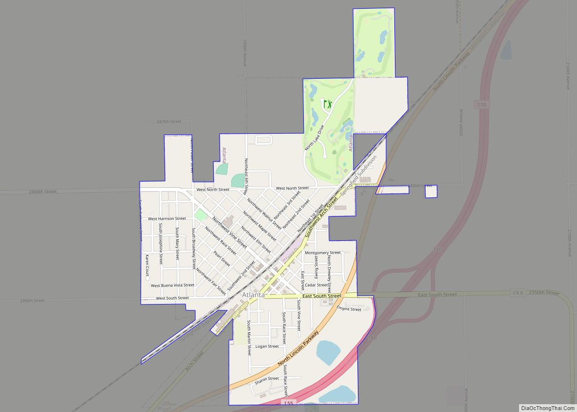
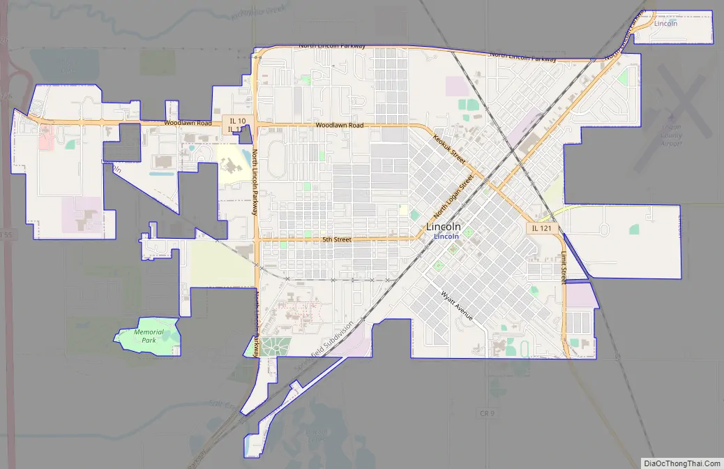
Lincoln Road Map
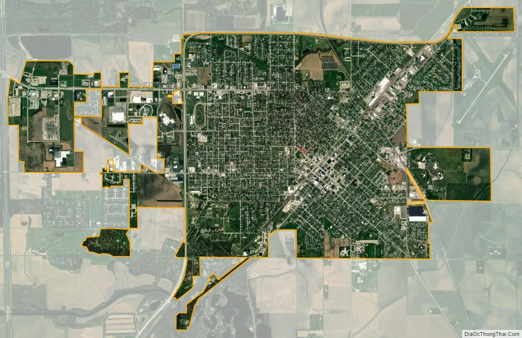
Lincoln city Satellite Map
Geography
According to the 2010 census, Lincoln has a total area of 6.4 square miles (16.58 km), all land.
I-55 (formerly U.S. Route 66) connects Lincoln to Bloomington and Springfield. Illinois Route 10 and Illinois Route 121 run into the city. Amtrak serves Lincoln Station daily with its Lincoln Service and Texas Eagle routes. Service consists of four Lincoln Service round-trips between Chicago and St. Louis, and one Texas Eagle round-trip between San Antonio and Chicago. Three days a week, the Eagle continues on to Los Angeles. Lines of the Union Pacific and Canadian National railroads run through the city. Salt Creek (Sangamon River Tributary) and the Edward R. Madigan State Fish and Wildlife Area are nearby.
Climate
Lincoln has a humid continental climate (Köppen: Dfa). Monthly means range from 26.1 °F (−3.3 °C) in January to 74.6 °F (23.7 °C) in July. There are 126 days below freezing while there are 24 days above 90 °F (32 °C). Since having an average record minimum of −11 °F (−24 °C) (-24 °C) according to XMACIS, It lies in the USDA Plant Hardiness Zone 5b.
The highest temperature was 113 °F (45 °C) on July 15, 1936, and the lowest was −34 °F (−37 °C) on January 15, 1927.
See also
Map of Illinois State and its subdivision:- Adams
- Alexander
- Bond
- Boone
- Brown
- Bureau
- Calhoun
- Carroll
- Cass
- Champaign
- Christian
- Clark
- Clay
- Clinton
- Coles
- Cook
- Crawford
- Cumberland
- De Kalb
- De Witt
- Douglas
- Dupage
- Edgar
- Edwards
- Effingham
- Fayette
- Ford
- Franklin
- Fulton
- Gallatin
- Greene
- Grundy
- Hamilton
- Hancock
- Hardin
- Henderson
- Henry
- Iroquois
- Jackson
- Jasper
- Jefferson
- Jersey
- Jo Daviess
- Johnson
- Kane
- Kankakee
- Kendall
- Knox
- La Salle
- Lake
- Lake Michigan
- Lawrence
- Lee
- Livingston
- Logan
- Macon
- Macoupin
- Madison
- Marion
- Marshall
- Mason
- Massac
- McDonough
- McHenry
- McLean
- Menard
- Mercer
- Monroe
- Montgomery
- Morgan
- Moultrie
- Ogle
- Peoria
- Perry
- Piatt
- Pike
- Pope
- Pulaski
- Putnam
- Randolph
- Richland
- Rock Island
- Saint Clair
- Saline
- Sangamon
- Schuyler
- Scott
- Shelby
- Stark
- Stephenson
- Tazewell
- Union
- Vermilion
- Wabash
- Warren
- Washington
- Wayne
- White
- Whiteside
- Will
- Williamson
- Winnebago
- Woodford
- Alabama
- Alaska
- Arizona
- Arkansas
- California
- Colorado
- Connecticut
- Delaware
- District of Columbia
- Florida
- Georgia
- Hawaii
- Idaho
- Illinois
- Indiana
- Iowa
- Kansas
- Kentucky
- Louisiana
- Maine
- Maryland
- Massachusetts
- Michigan
- Minnesota
- Mississippi
- Missouri
- Montana
- Nebraska
- Nevada
- New Hampshire
- New Jersey
- New Mexico
- New York
- North Carolina
- North Dakota
- Ohio
- Oklahoma
- Oregon
- Pennsylvania
- Rhode Island
- South Carolina
- South Dakota
- Tennessee
- Texas
- Utah
- Vermont
- Virginia
- Washington
- West Virginia
- Wisconsin
- Wyoming