Litchfield is a city in Montgomery County, Illinois, United States. The population was 6,605 at the 2020 census. It is located in South Central Illinois, south of Springfield, the state capital.
| Name: | Litchfield city |
|---|---|
| LSAD Code: | 25 |
| LSAD Description: | city (suffix) |
| State: | Illinois |
| County: | Montgomery County |
| Founded: | 1856 |
| Elevation: | 669 ft (204 m) |
| Total Area: | 10.95 sq mi (28.35 km²) |
| Land Area: | 8.93 sq mi (23.13 km²) |
| Water Area: | 2.02 sq mi (5.23 km²) |
| Total Population: | 6,605 |
| Population Density: | 739.72/sq mi (285.61/km²) |
| ZIP code: | 62056 |
| Area code: | 217 |
| FIPS code: | 1743965 |
| GNISfeature ID: | 2395731 |
| Website: | www.cityoflitchfieldil.com |
Online Interactive Map
Click on ![]() to view map in "full screen" mode.
to view map in "full screen" mode.
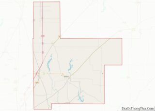
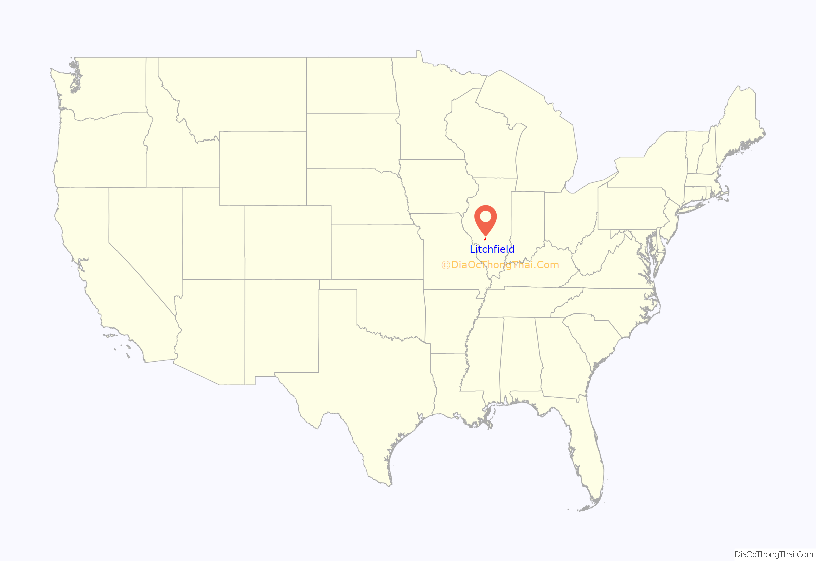
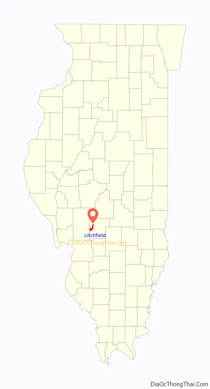
Litchfield location map. Where is Litchfield city?
History
Litchfield was platted in October 1853, and was originally named “Huntsville”, after it was thought that Railroad Chief Engineer George Hunt was going to be the one to bring in the railroad.
Earlier, Hardinsburg, about 2 miles (3 km) to the southwest, had been founded about 1850. Both towns were created in anticipation of the Terre Haute & Alton Railroad. Hardinsburg grew to about 50 people by 1854; but when it became clear that the railroad was going through Huntsville instead of Hardinsburg, many of the buildings in Hardinsburg were pulled across the prairie on runners to Huntsville beginning in January 1854, and most of the residents moved to the new site as well, becoming Litchfield’s first residents. The railroad reached Huntsville in the autumn of 1864, and within two more years Hardinsburg had substantially disappeared. Only a small cemetery remains of Hardinsburg.
The new town of Huntsville was renamed in November 1855 after Electus Bachus Litchfield, who with his brothers earlier that year had donated land and convinced the railroad of where to place its shops and terminals.
The residents of Litchfield first voted to incorporate as a village on April 4, 1856. However, the village trustees failed to complete the incorporation; the village charter was dissolved in autumn of 1857 and the trustees closed the books for that village government on January 22, 1858. The state legislature granted a new municipal charter to Litchfield on February 16, 1859, and the first elections under that charter were held on March 7, 1859.
Milnot Company, known for its namesake product, Milnot, an evaporated filled milk, was founded in Litchfield in 1912 as the Litchfield Creamery Company by Martin Jensen. In 1916, a new plant was built at 120 W. St. John St. and operated until 1990. As of 2019, it has been repurposed as an indoor sports training facility.
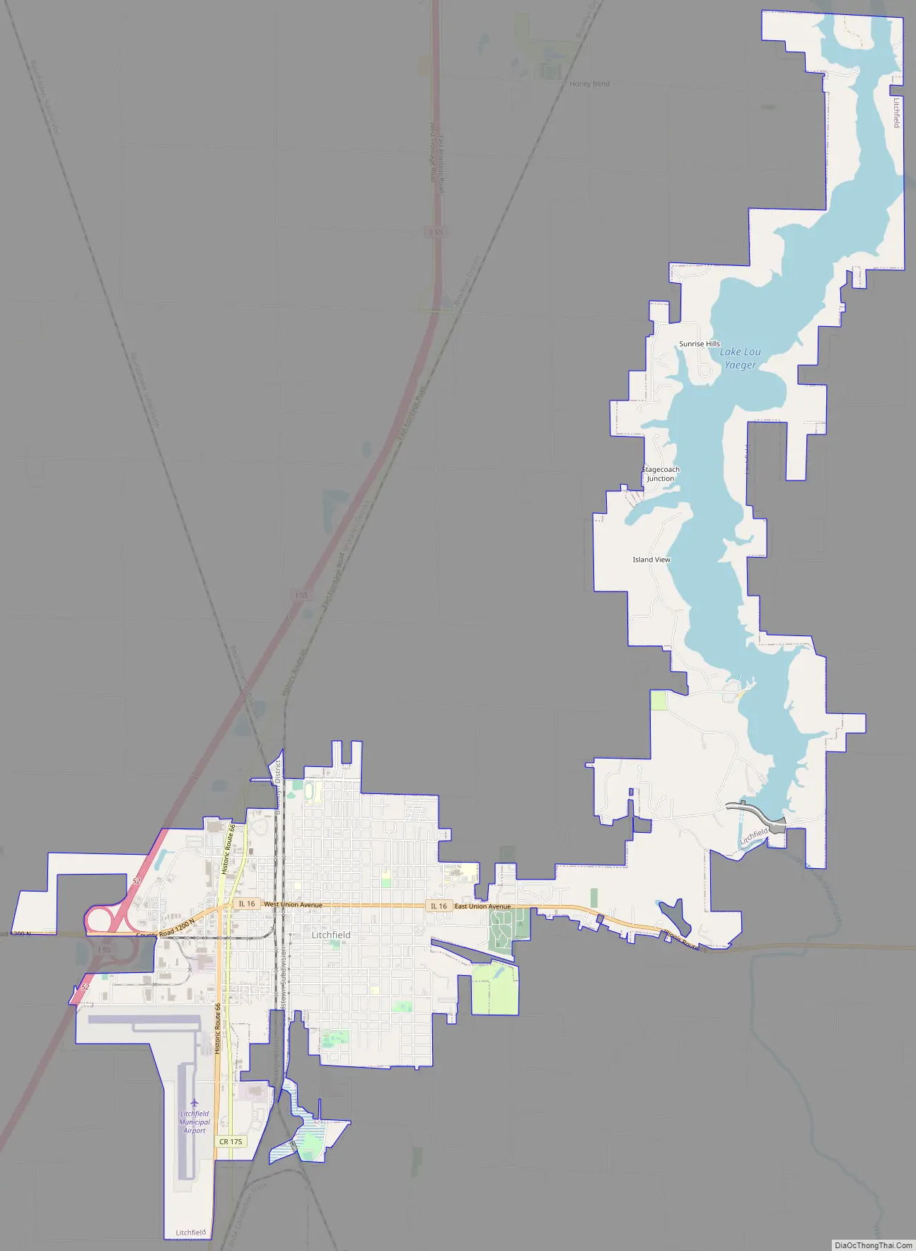
Litchfield Road Map
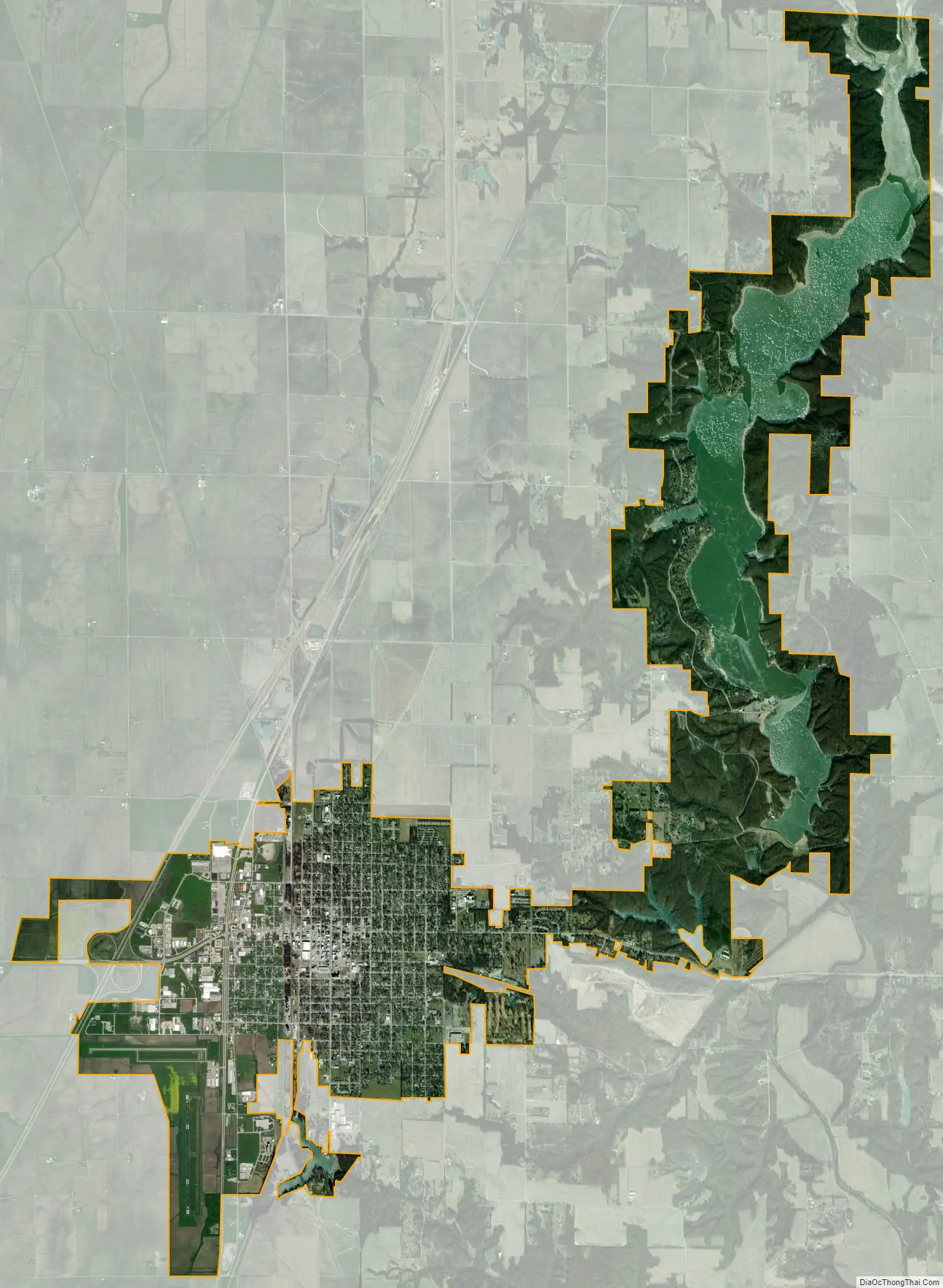
Litchfield city Satellite Map
Geography
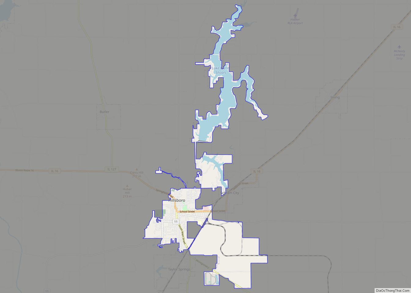
Litchfield is in western Montgomery County, 9 miles (14 km) west of Hillsboro, the Montgomery county seat. Interstate 55 runs along the western edge of the city, with access from Exit 52 (Illinois Route 16). I-55 leads north 42 miles (68 km) to Springfield and southwest 53 miles (85 km) to St. Louis. IL 16 passes through Litchfield as Union Avenue, leading east to Hillsboro and southwest 10 miles (16 km) to Gillespie.
According to the U.S. Census Bureau, Litchfield has a total area of 11.0 square miles (28 km), of which 9.0 square miles (23 km) are land and 2.0 square miles (5.2 km), or 18.38%, are water. The city drains east to the West Fork of Shoal Creek, a south-flowing tributary of the Kaskaskia River. Lake Lou Yaeger is a reservoir on the West Fork northeast of the city, and the Litchfield city limits extend north 5 miles (8 km) to encompass most of the reservoir.
See also
Map of Illinois State and its subdivision:- Adams
- Alexander
- Bond
- Boone
- Brown
- Bureau
- Calhoun
- Carroll
- Cass
- Champaign
- Christian
- Clark
- Clay
- Clinton
- Coles
- Cook
- Crawford
- Cumberland
- De Kalb
- De Witt
- Douglas
- Dupage
- Edgar
- Edwards
- Effingham
- Fayette
- Ford
- Franklin
- Fulton
- Gallatin
- Greene
- Grundy
- Hamilton
- Hancock
- Hardin
- Henderson
- Henry
- Iroquois
- Jackson
- Jasper
- Jefferson
- Jersey
- Jo Daviess
- Johnson
- Kane
- Kankakee
- Kendall
- Knox
- La Salle
- Lake
- Lake Michigan
- Lawrence
- Lee
- Livingston
- Logan
- Macon
- Macoupin
- Madison
- Marion
- Marshall
- Mason
- Massac
- McDonough
- McHenry
- McLean
- Menard
- Mercer
- Monroe
- Montgomery
- Morgan
- Moultrie
- Ogle
- Peoria
- Perry
- Piatt
- Pike
- Pope
- Pulaski
- Putnam
- Randolph
- Richland
- Rock Island
- Saint Clair
- Saline
- Sangamon
- Schuyler
- Scott
- Shelby
- Stark
- Stephenson
- Tazewell
- Union
- Vermilion
- Wabash
- Warren
- Washington
- Wayne
- White
- Whiteside
- Will
- Williamson
- Winnebago
- Woodford
- Alabama
- Alaska
- Arizona
- Arkansas
- California
- Colorado
- Connecticut
- Delaware
- District of Columbia
- Florida
- Georgia
- Hawaii
- Idaho
- Illinois
- Indiana
- Iowa
- Kansas
- Kentucky
- Louisiana
- Maine
- Maryland
- Massachusetts
- Michigan
- Minnesota
- Mississippi
- Missouri
- Montana
- Nebraska
- Nevada
- New Hampshire
- New Jersey
- New Mexico
- New York
- North Carolina
- North Dakota
- Ohio
- Oklahoma
- Oregon
- Pennsylvania
- Rhode Island
- South Carolina
- South Dakota
- Tennessee
- Texas
- Utah
- Vermont
- Virginia
- Washington
- West Virginia
- Wisconsin
- Wyoming