Lewistown is a city in Fulton County, Illinois, United States. It was named by its founder, Ossian M. Ross, after his oldest son, Lewis W. Ross. The population was 2,384 at the 2010 census, down from 2,522 at the 2000 census. It is the county seat of Fulton County. Located in central Illinois, it is southwest of Peoria. It is the source of Spoon River Anthology by Edgar Lee Masters, who lived there. Native American burial mounds are nearby at Dickson Mounds off Illinois Route 97.
| Name: | Lewistown city |
|---|---|
| LSAD Code: | 25 |
| LSAD Description: | city (suffix) |
| State: | Illinois |
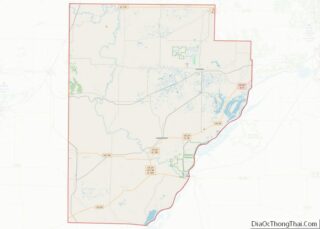
| County: | Fulton County |
| Elevation: | 591 ft (180 m) |
| Total Area: | 2.00 sq mi (5.18 km²) |
| Land Area: | 2.00 sq mi (5.18 km²) |
| Water Area: | 0.00 sq mi (0.00 km²) |
| Total Population: | 2,041 |
| Population Density: | 1,020.50/sq mi (393.98/km²) |
| Area code: | 309 |
| FIPS code: | 1743055 |
| Website: | lewistownillinois.org |
Online Interactive Map
Click on ![]() to view map in "full screen" mode.
to view map in "full screen" mode.
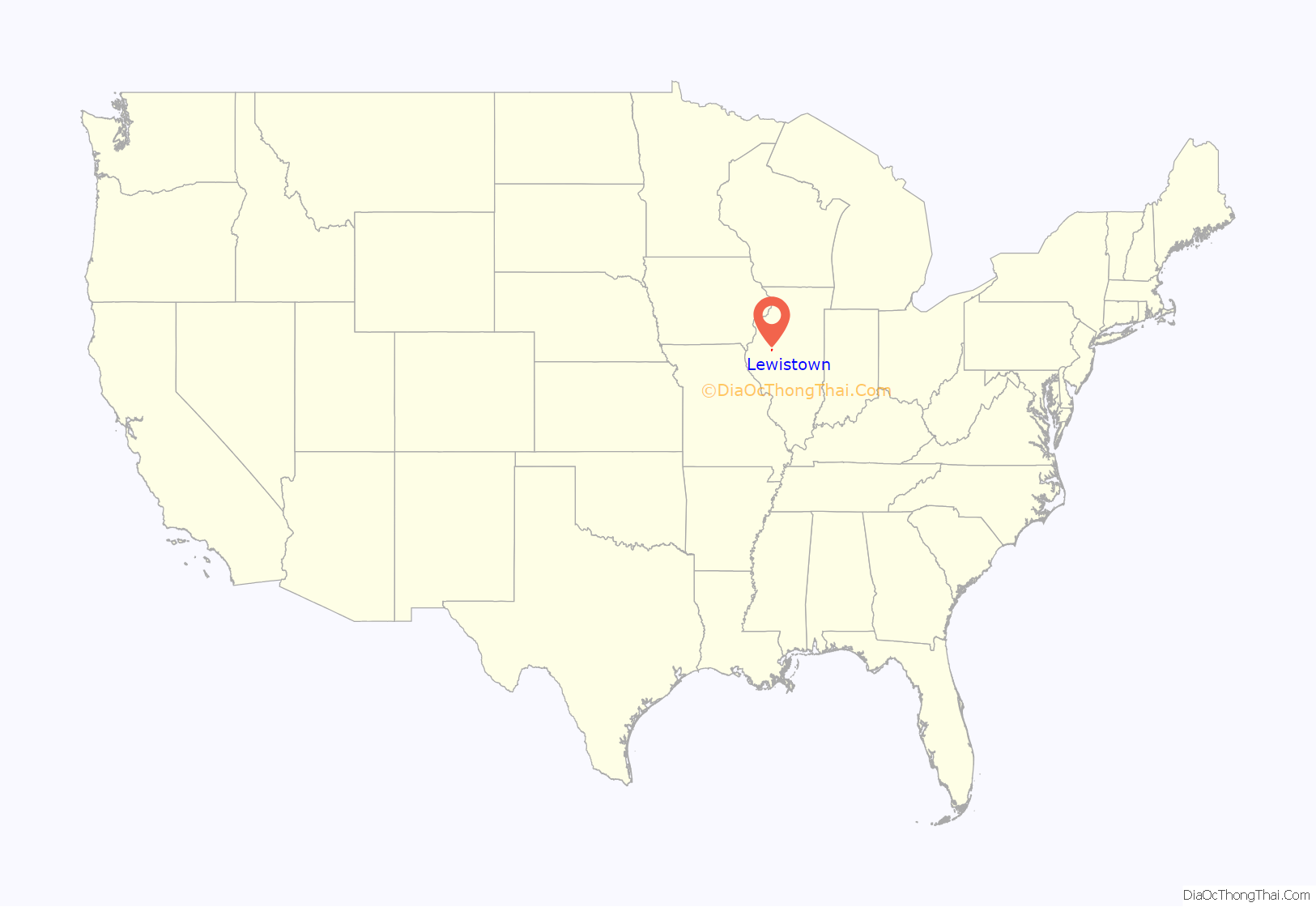
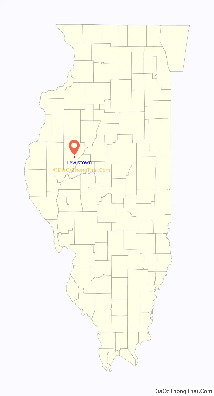
Lewistown location map. Where is Lewistown city?
History
The city was named for Lewis Ross, the son of a first settler. The Lewistown post office has been in operation since 1831. It contains a tempera on canvas mural titled Lewiston Milestones, painted by Ida Abelman in 1941, depicting the Lincoln–Douglas debates. Murals were produced from 1934 to 1943 in the United States through the Section of Painting and Sculpture, later called the Section of Fine Arts, of the U.S. Treasury Department.
Lewistown Road Map

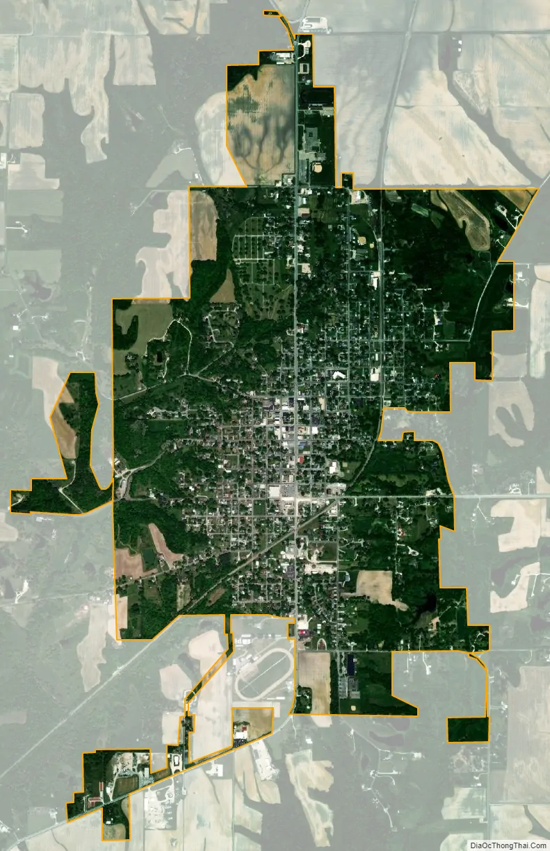
Lewistown city Satellite Map
Geography
Lewistown is located in central Fulton County. U.S. Route 24 passes through the center of the city, leading northeast 40 miles (64 km) to Peoria and southwest 89 miles (143 km) to Quincy. Illinois Route 97 leads north from Lewistown 48 miles (77 km) to Galesburg. IL 97 leads east out of Lewistown concurrently with US 24, then turns south, leading 12 miles (19 km) to Havana and 60 miles (97 km) to Springfield, the state capital.
According to the 2010 census, Lewistown has a total area of 2 square miles (5.18 km), all land.
See also
Map of Illinois State and its subdivision:- Adams
- Alexander
- Bond
- Boone
- Brown
- Bureau
- Calhoun
- Carroll
- Cass
- Champaign
- Christian
- Clark
- Clay
- Clinton
- Coles
- Cook
- Crawford
- Cumberland
- De Kalb
- De Witt
- Douglas
- Dupage
- Edgar
- Edwards
- Effingham
- Fayette
- Ford
- Franklin
- Fulton
- Gallatin
- Greene
- Grundy
- Hamilton
- Hancock
- Hardin
- Henderson
- Henry
- Iroquois
- Jackson
- Jasper
- Jefferson
- Jersey
- Jo Daviess
- Johnson
- Kane
- Kankakee
- Kendall
- Knox
- La Salle
- Lake
- Lake Michigan
- Lawrence
- Lee
- Livingston
- Logan
- Macon
- Macoupin
- Madison
- Marion
- Marshall
- Mason
- Massac
- McDonough
- McHenry
- McLean
- Menard
- Mercer
- Monroe
- Montgomery
- Morgan
- Moultrie
- Ogle
- Peoria
- Perry
- Piatt
- Pike
- Pope
- Pulaski
- Putnam
- Randolph
- Richland
- Rock Island
- Saint Clair
- Saline
- Sangamon
- Schuyler
- Scott
- Shelby
- Stark
- Stephenson
- Tazewell
- Union
- Vermilion
- Wabash
- Warren
- Washington
- Wayne
- White
- Whiteside
- Will
- Williamson
- Winnebago
- Woodford
- Alabama
- Alaska
- Arizona
- Arkansas
- California
- Colorado
- Connecticut
- Delaware
- District of Columbia
- Florida
- Georgia
- Hawaii
- Idaho
- Illinois
- Indiana
- Iowa
- Kansas
- Kentucky
- Louisiana
- Maine
- Maryland
- Massachusetts
- Michigan
- Minnesota
- Mississippi
- Missouri
- Montana
- Nebraska
- Nevada
- New Hampshire
- New Jersey
- New Mexico
- New York
- North Carolina
- North Dakota
- Ohio
- Oklahoma
- Oregon
- Pennsylvania
- Rhode Island
- South Carolina
- South Dakota
- Tennessee
- Texas
- Utah
- Vermont
- Virginia
- Washington
- West Virginia
- Wisconsin
- Wyoming