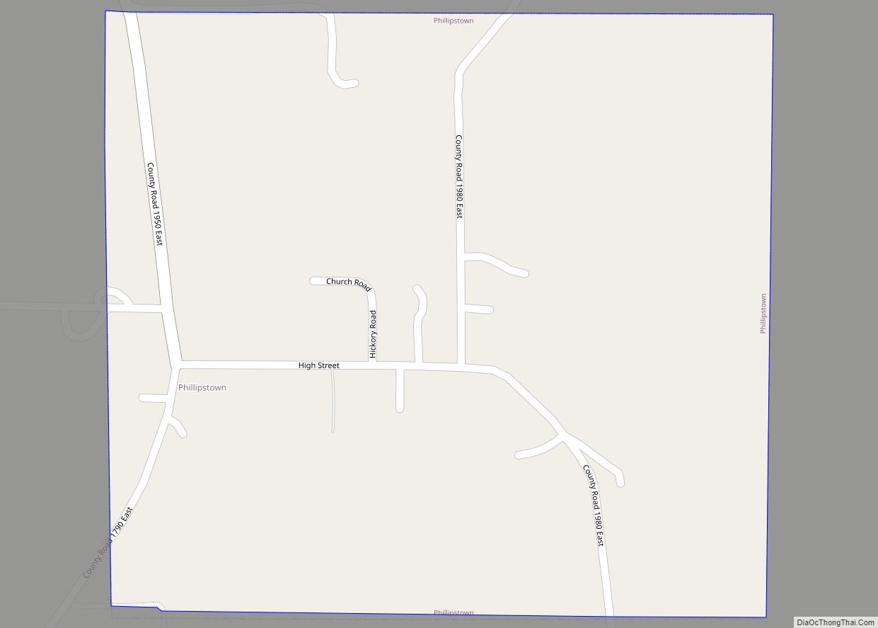
Phillipstown is a village in White County, Illinois, United States. The population was 28 at the 2000 census. Phillipstown village overview: Name: Phillipstown village LSAD Code: 47 LSAD Description: village (suffix) State: Illinois County: White County Elevation: 489 ft (149 m) Total Area: 0.27 sq mi (0.70 km²) Land Area: 0.27 sq mi (0.70 km²) Water Area: 0.00 sq mi (0.00 km²) Total Population: 34 Population ... Read more
Illinois Cities and Places
Pierron is a village in Bond and Madison counties, Illinois, United States. The population was 459 at the 2020 census, down from 600 at the 2010 census. The village is part of the St. Louis metropolitan area. Pierron village overview: Name: Pierron village LSAD Code: 47 LSAD Description: village (suffix) State: Illinois County: Bond County, ... Read more
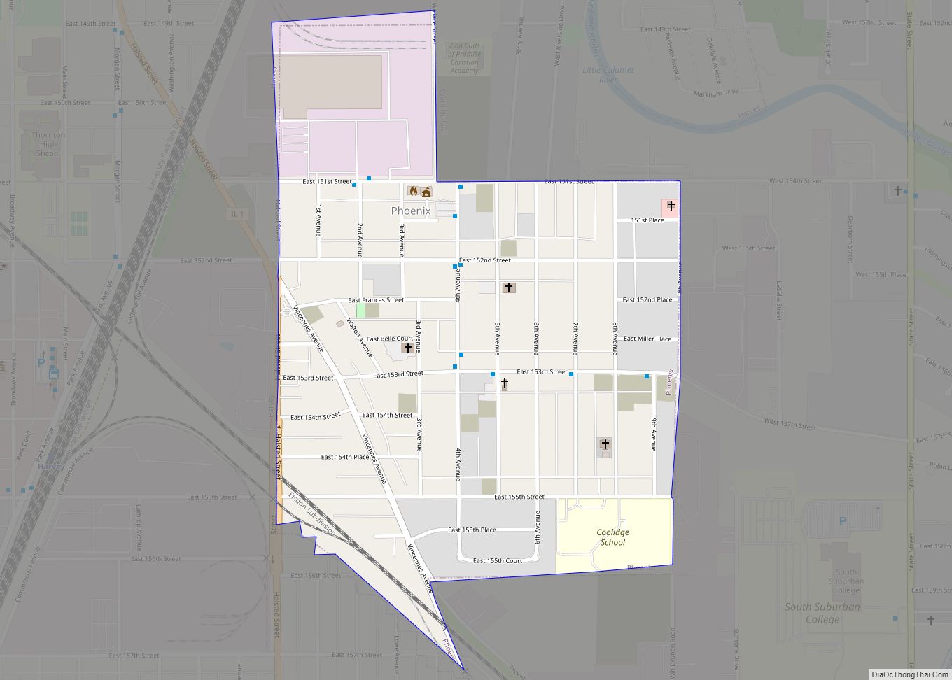
Phoenix is a village in Cook County, Illinois, United States. The population was 1,708 at the 2020 census. It is located approximately 19 miles (31 km) south of the Chicago Loop in the Chicago area. Phoenix village overview: Name: Phoenix village LSAD Code: 47 LSAD Description: village (suffix) State: Illinois County: Cook County Total Area: 0.46 sq mi ... Read more
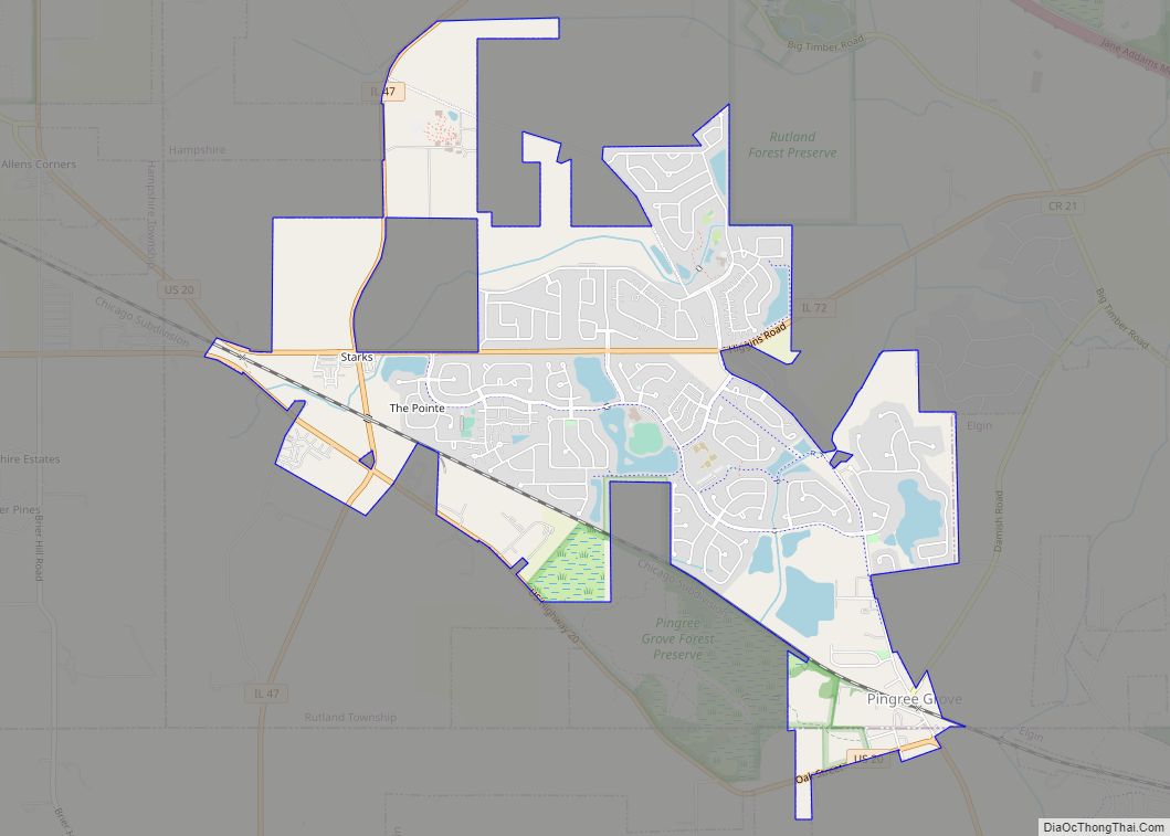
Pingree Grove (/ˈpɪŋɡʌriː/ PING-GREE) is a village in Kane County, Illinois, United States. The population was 124 at the 2000 census. However, with rapid development in the following years, the 2010 census indicated 4,532 residents, and the 2020 census was 10,365. Pingree Grove village overview: Name: Pingree Grove village LSAD Code: 47 LSAD Description: village ... Read more
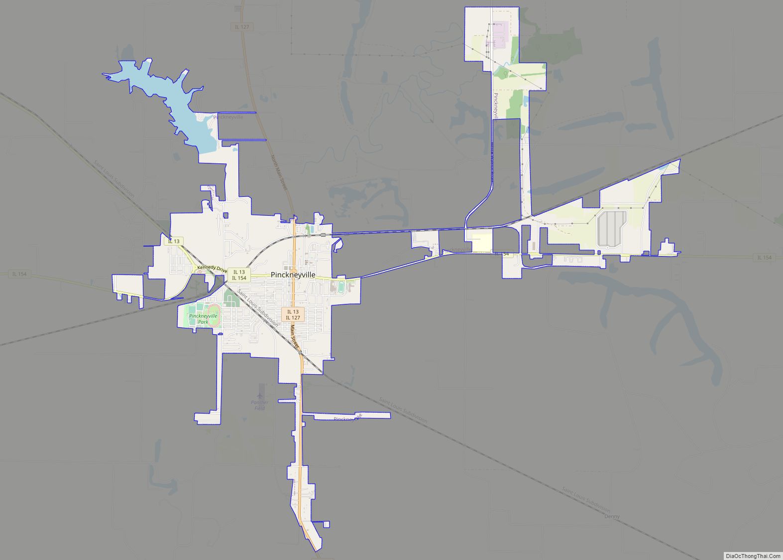
Pinckneyville is a city in and the county seat of Perry County, Illinois, United States. The population was 5,066 at the 2020 census. It is named for Charles Cotesworth Pinckney, an early American diplomat and presidential candidate. Pinckneyville is the location of the Pinckneyville Power Plant, a combustion turbine generator (CTG)-type power plant run by ... Read more
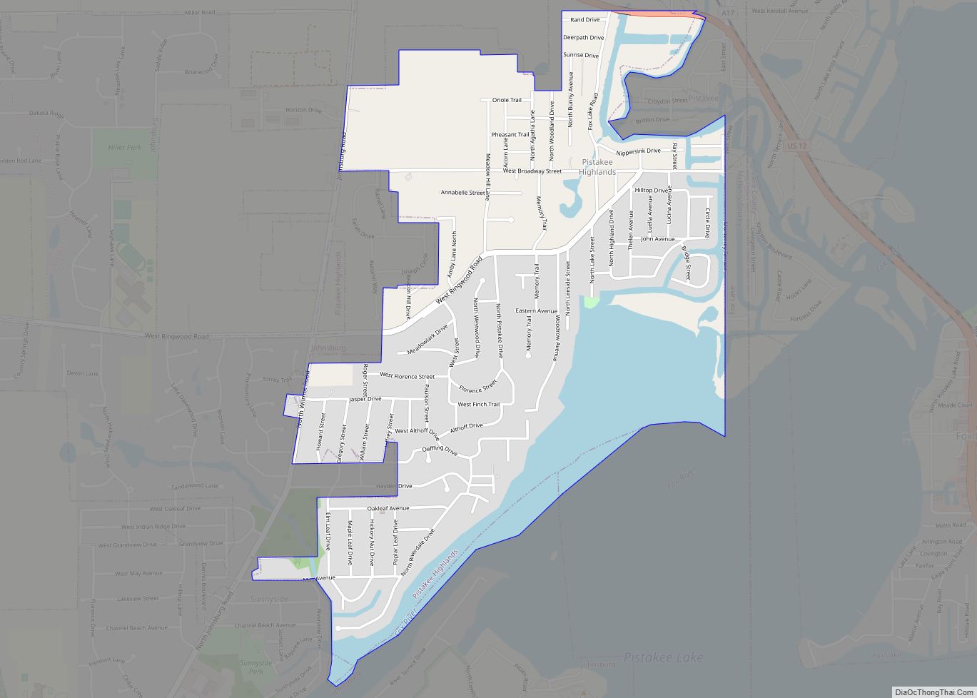
Pistakee Highlands is a census-designated place (CDP) in McHenry County, Illinois, United States. It consists primarily of an unincorporated area of McHenry County adjoining Pistakee Bay, within the McHenry post office, and is located just northeast of Johnsburg. Per the 2020 census, the population was 3,237. Pistakee Highlands CDP overview: Name: Pistakee Highlands CDP LSAD ... Read more
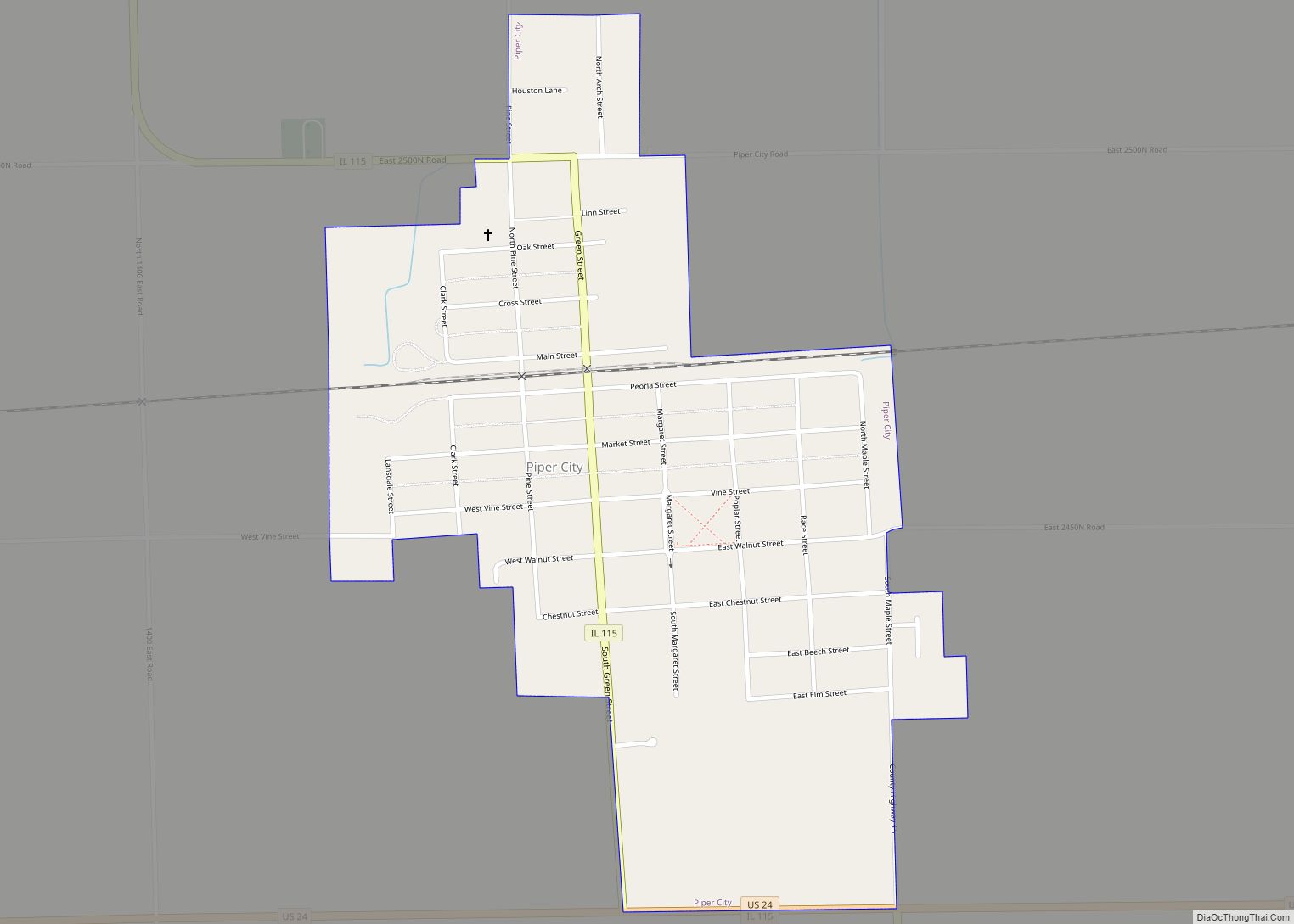
Piper City is a village in Ford County, Illinois, United States. The population was 826 at the 2010 census. Piper City village overview: Name: Piper City village LSAD Code: 47 LSAD Description: village (suffix) State: Illinois County: Ford County Elevation: 672 ft (205 m) Total Area: 0.56 sq mi (1.44 km²) Land Area: 0.56 sq mi (1.44 km²) Water Area: 0.00 sq mi (0.00 km²) Total ... Read more
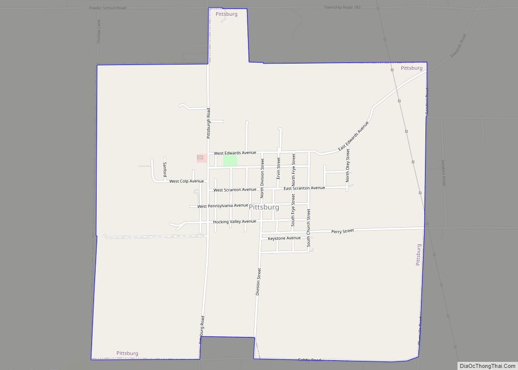
Pittsburg is a village in Williamson County, Illinois. The population was 572 at the 2010 census. Pittsburg village overview: Name: Pittsburg village LSAD Code: 47 LSAD Description: village (suffix) State: Illinois County: Williamson County Elevation: 463 ft (141 m) Total Area: 2.09 sq mi (5.42 km²) Land Area: 2.06 sq mi (5.35 km²) Water Area: 0.03 sq mi (0.07 km²) Total Population: 565 Population Density: 273.61/sq mi ... Read more
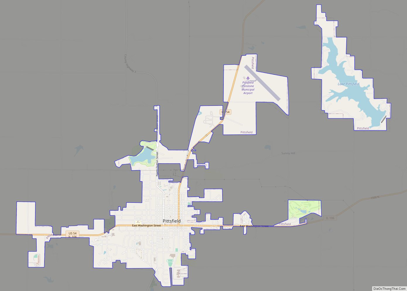
Pittsfield is a city in and the county seat of Pike County, Illinois, United States. The population was 4,576 at the 2010 census, an increase from 4,211 in 2000. Pittsfield city overview: Name: Pittsfield city LSAD Code: 25 LSAD Description: city (suffix) State: Illinois County: Pike County Elevation: 732 ft (223 m) Total Area: 5.17 sq mi (13.39 km²) Land ... Read more
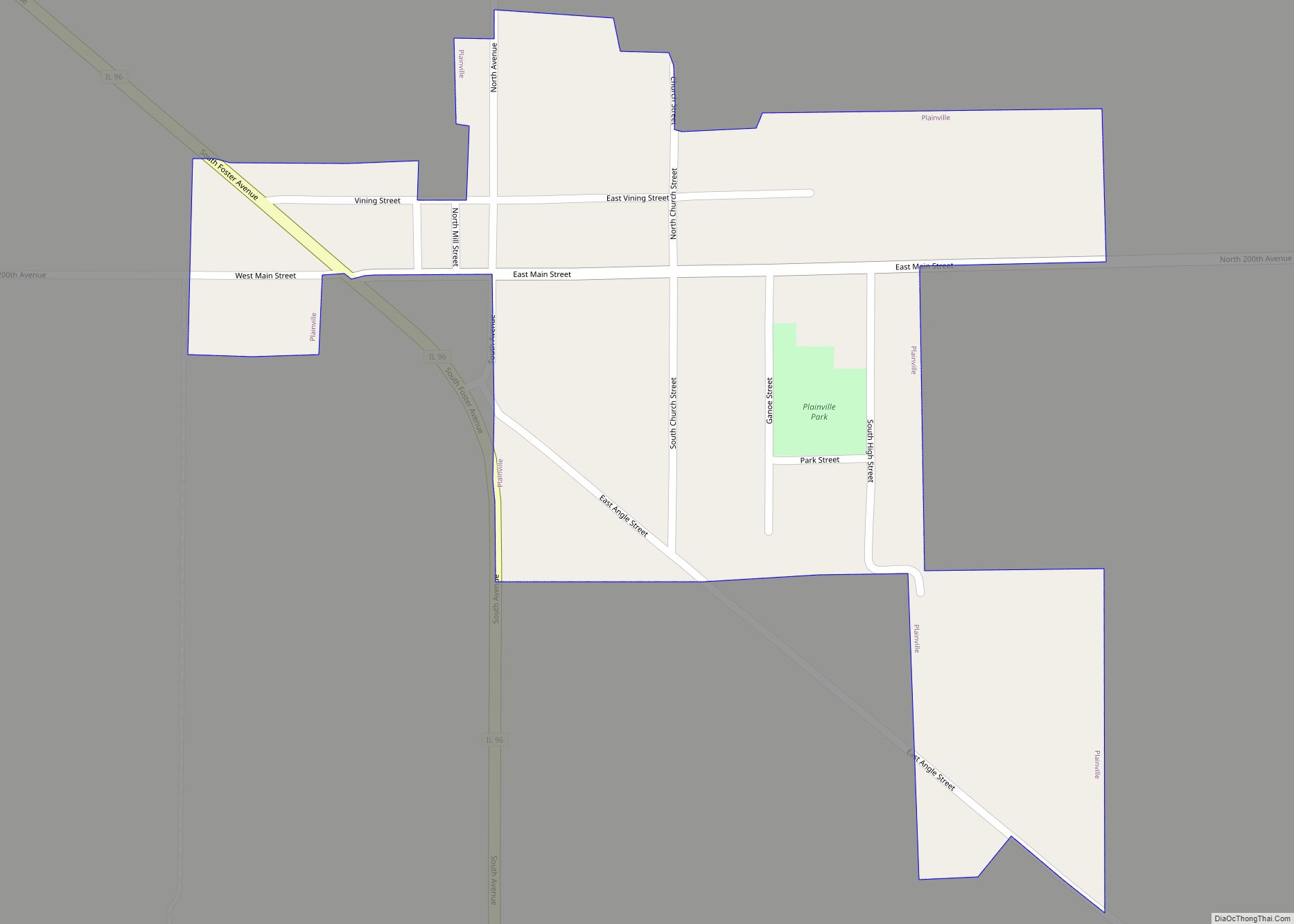
Plainville is a village in Adams County, Illinois, United States. The population was 271 at the 2020 census. It is part of the Quincy, IL–MO Micropolitan Statistical Area. Plainville village overview: Name: Plainville village LSAD Code: 47 LSAD Description: village (suffix) State: Illinois County: Adams County Elevation: 689 ft (210 m) Total Area: 0.23 sq mi (0.61 km²) Land Area: ... Read more
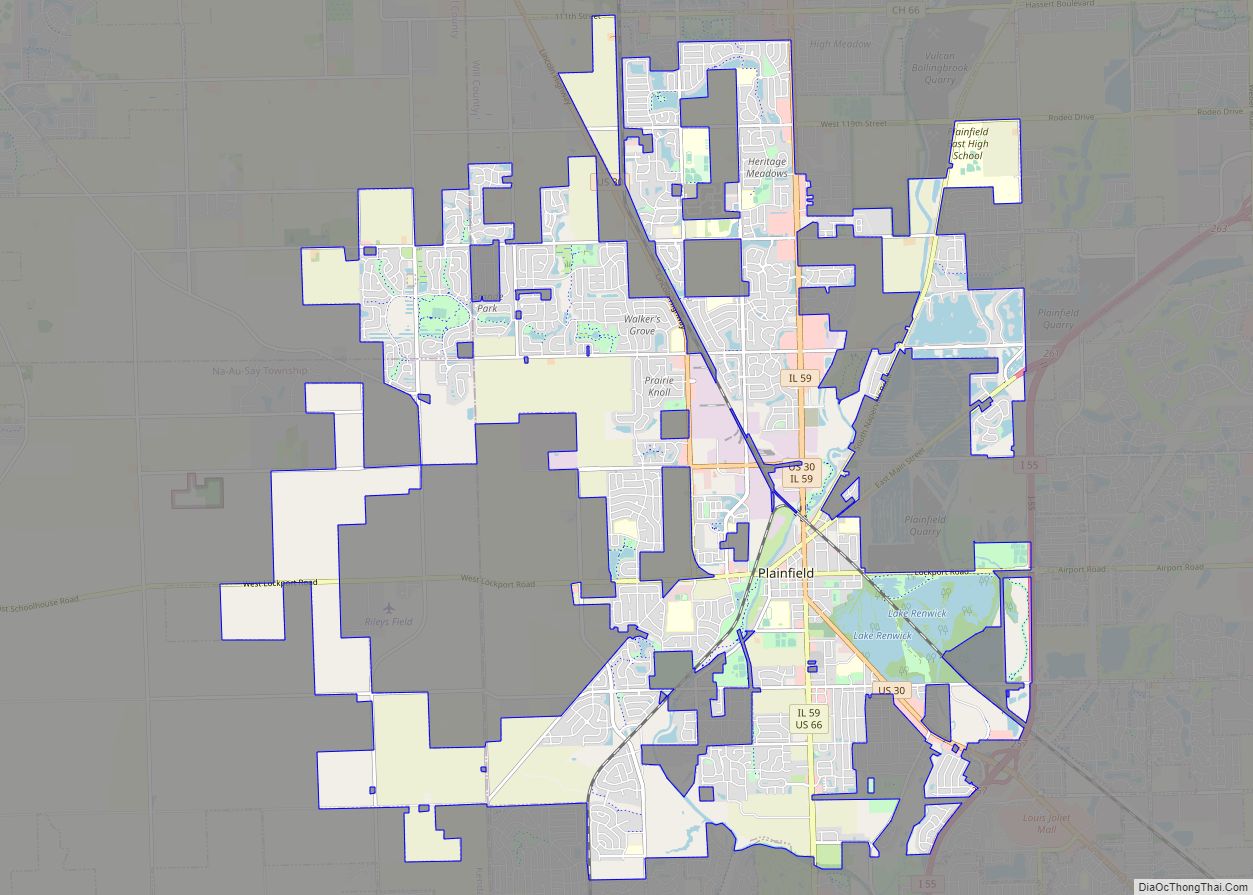
Plainfield is a village in Will and Kendall counties, Illinois, United States. The population was 44,762 at the 2020 census. The village includes land in Will County’s Plainfield and Wheatland townships, as well as Na-Au-Say and Oswego townships in Kendall County. With the growth in the Chicago suburbs in the 1990s and 2000s, the village ... Read more
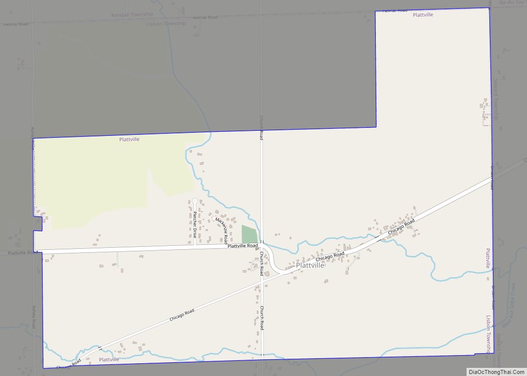
Plattville is a village in Lisbon Township, Kendall County, Illinois, United States, west of Joliet. As of the 2010 census it had a population of 242. The community was established in 1860 and named after founder Daniel Platt, who first built a home there in 1834 on the Frink and Walker stagecoach route between Chicago ... Read more
