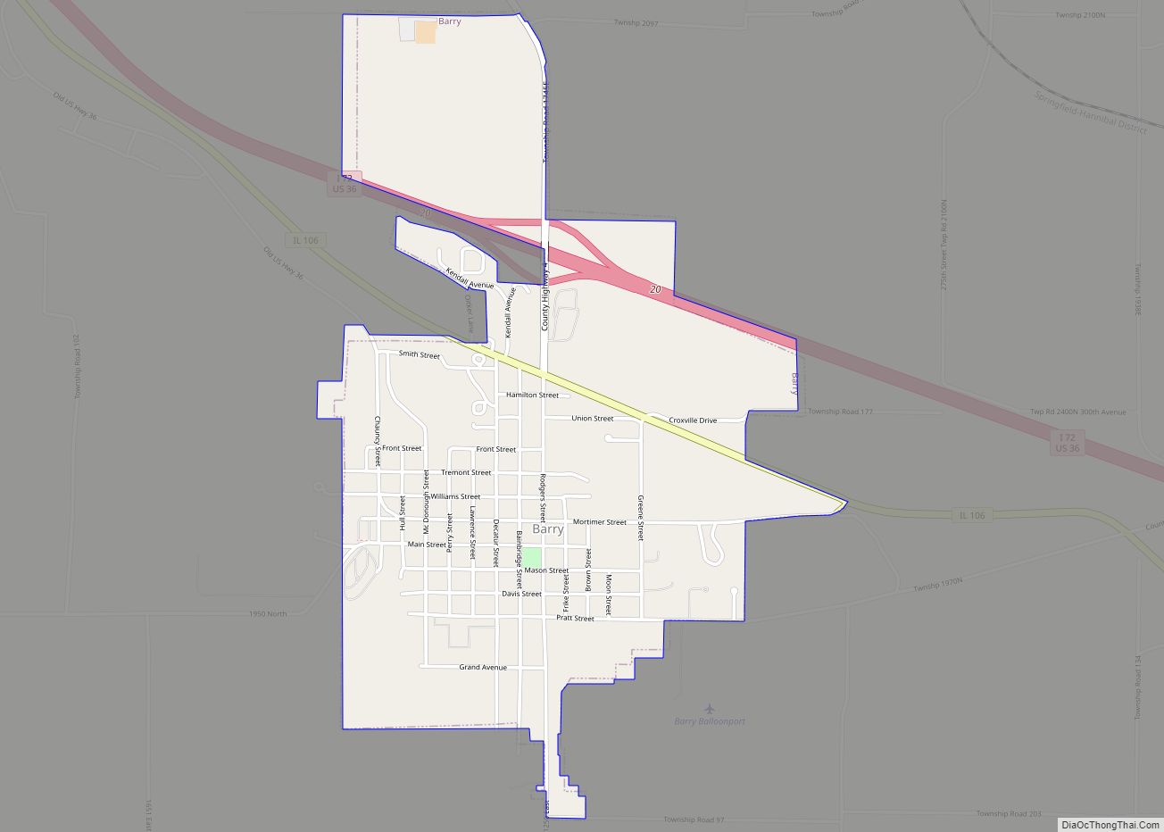
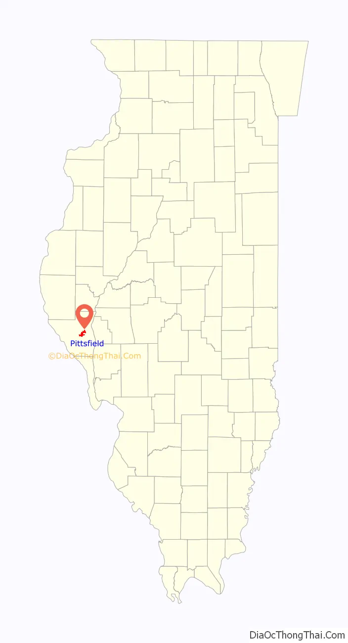
Pittsfield is a city in and the county seat of Pike County, Illinois, United States. The population was 4,576 at the 2010 census, an increase from 4,211 in 2000.
| Name: | Pittsfield city |
|---|---|
| LSAD Code: | 25 |
| LSAD Description: | city (suffix) |
| State: | Illinois |
| County: | Pike County |
| Elevation: | 732 ft (223 m) |
| Total Area: | 5.17 sq mi (13.39 km²) |
| Land Area: | 4.78 sq mi (12.39 km²) |
| Water Area: | 0.39 sq mi (1.00 km²) |
| Total Population: | 4,206 |
| Population Density: | 879.55/sq mi (339.58/km²) |
| Area code: | 217 |
| FIPS code: | 1760222 |
| GNISfeature ID: | 415748 |
| Website: | http://www.pittsfieldil.org/ |
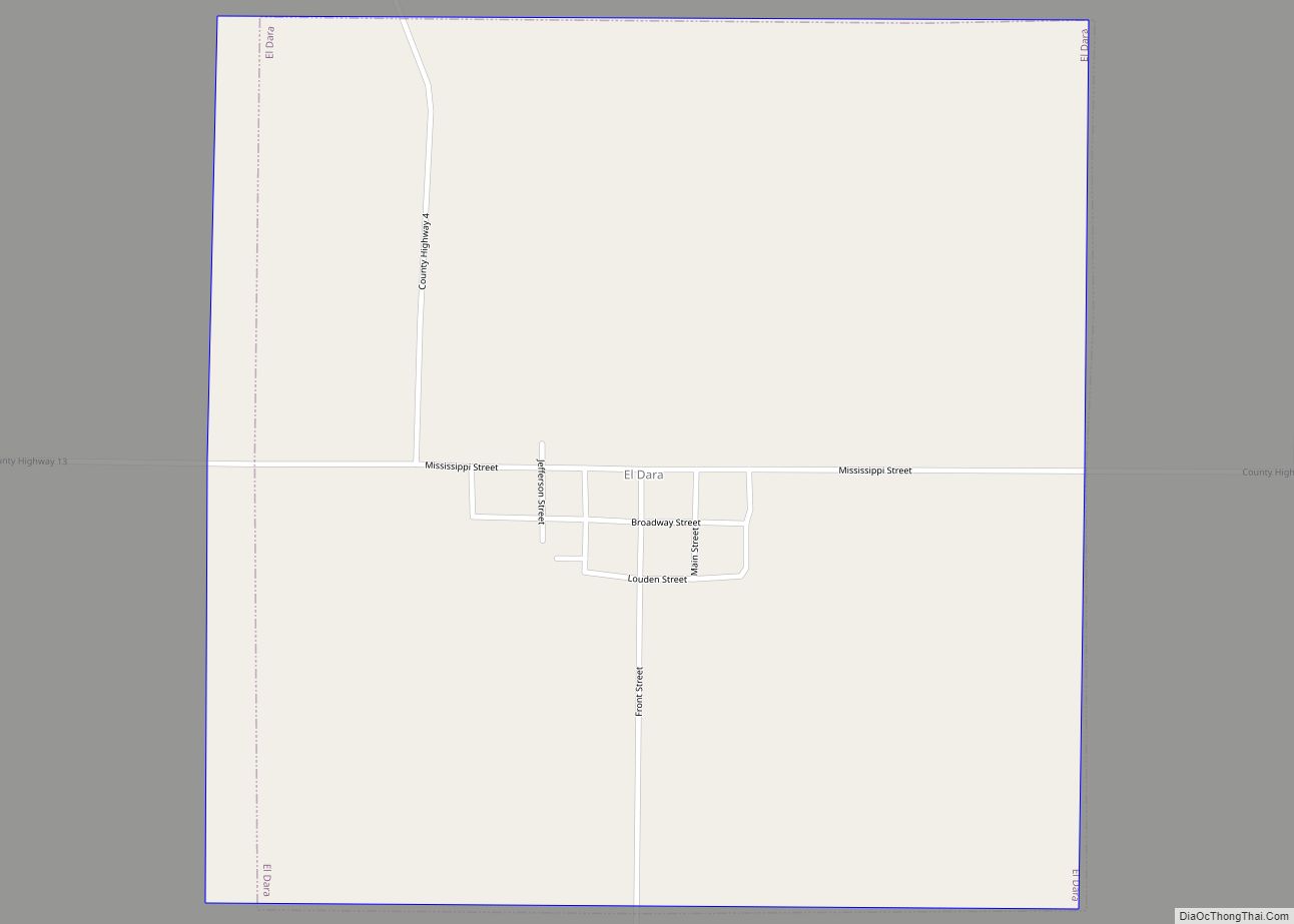
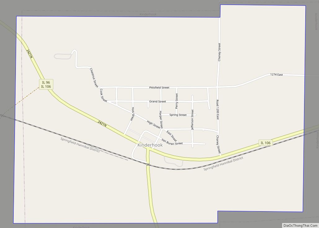
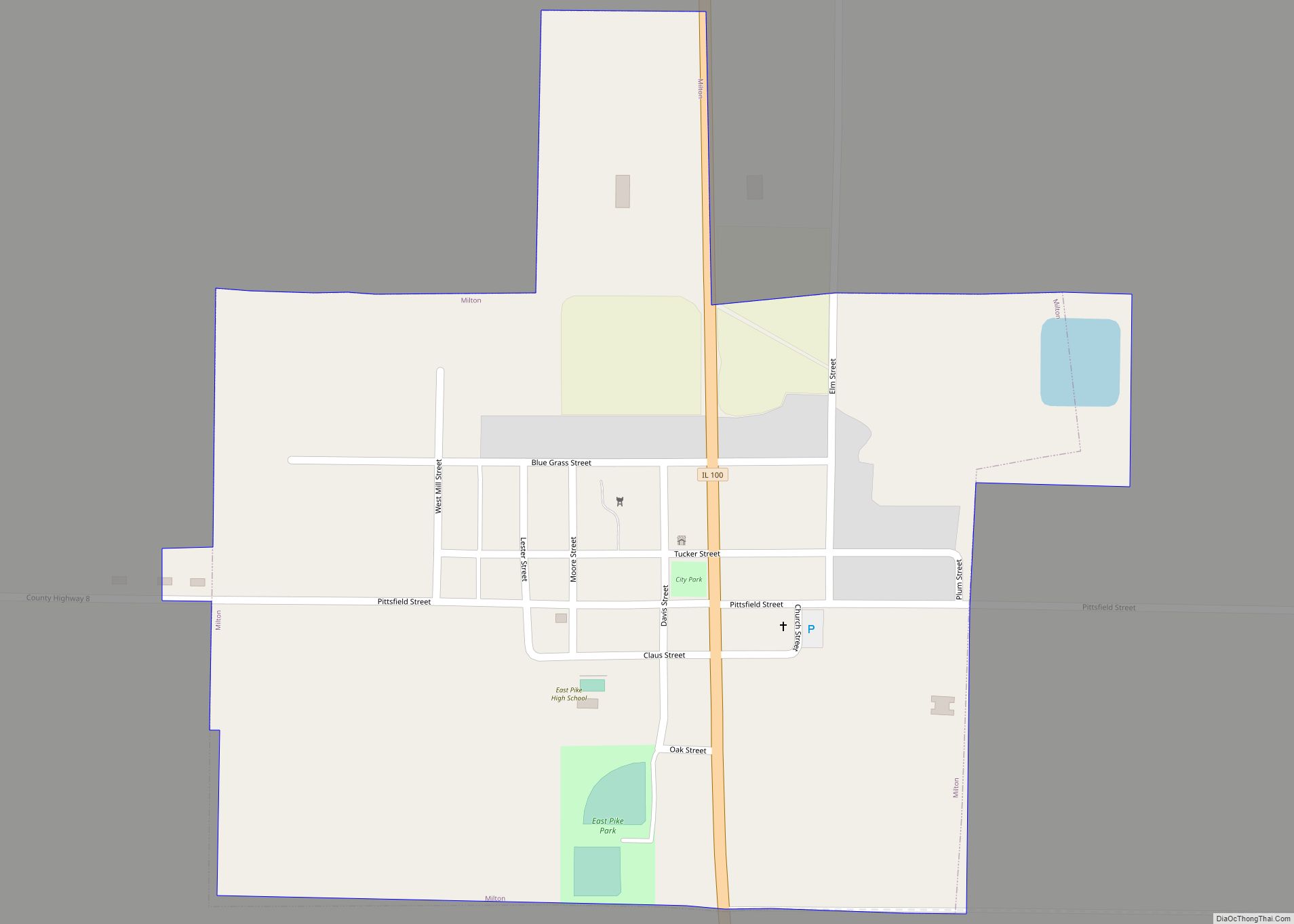
Online Interactive Map
Click on ![]() to view map in "full screen" mode.
to view map in "full screen" mode.
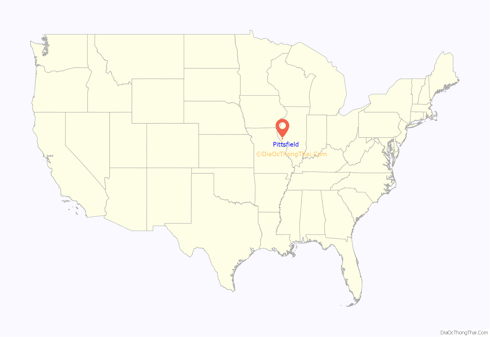
Pittsfield location map. Where is Pittsfield city?
History
Pittsfield was initially settled by settlers from New England. These settlers were of old Yankee stock, descended from the English Puritans who had founded and settled New England in the 1600s. A group of settlers from Pittsfield, Massachusetts headed west and settled this region of Illinois in 1820. When they arrived the area was a virgin wilderness, they constructed farms, roads and government buildings.
As county seat, the town was one of the various places in central Illinois where Abraham Lincoln practiced law as part of the circuit court, working on 34 cases between 1839 and 1852. One local newspaper, now known as the Pike Press, was then owned by another of Lincoln’s future secretaries, John Nicolay, and featured an editorial containing one of the first known suggestions of Lincoln as the Republican nominee for the presidency. Pittsfield was also home to John Hay, Lincoln’s personal secretary, ambassador to England under President William McKinley, later Secretary of State for Theodore Roosevelt and creator of the Open Door Policy.
Pittsfield is the self-proclaimed “Pork Capital” of the Midwest, owing to the long history of pork production in the region, which fed into the large meat-packing industry of Chicago. Though agriculture in the region is no longer so dependent on pork, the town still hosts a yearly “Pig Days” festival.
The local high school football team, the Saukees, still holds the record for longest winning streak in the state, and the 21st longest in the country. Starting with their season opening 6–0 win over North Greene in 1966, the Pittsfield Saukees reeled off 64 consecutive wins, which included 15 straight shutouts between 1969 and 1971. In 1970, the team outscored their opponents 341-0 and allowed negative rushing yards for the season. The streak extended all the way through to the second game of the 1973 season, when Pittsfield dropped a 12-0 decision to Winchester, Illinois.
Pittsfield’s Saukees basketball team won the Illinois State basketball title in 1991 under Coach David T. Bennett, who was later installed into the Illinois Basketball Hall of Fame. Exactly 20 years later in 2011, the Saukees would return to the Illinois State basketball court and take home the 4th place title under Coach Brad Tomhave.
Pittsfield is the setting for Jamie Gilson’s book Hello, My Name is Scrambled Eggs. Singer/songwriter Sufjan Stevens wrote a song about Pittsfield on his album The Avalanche.
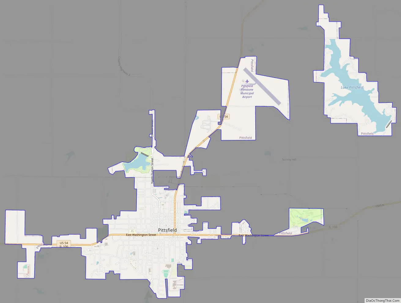
Pittsfield Road Map
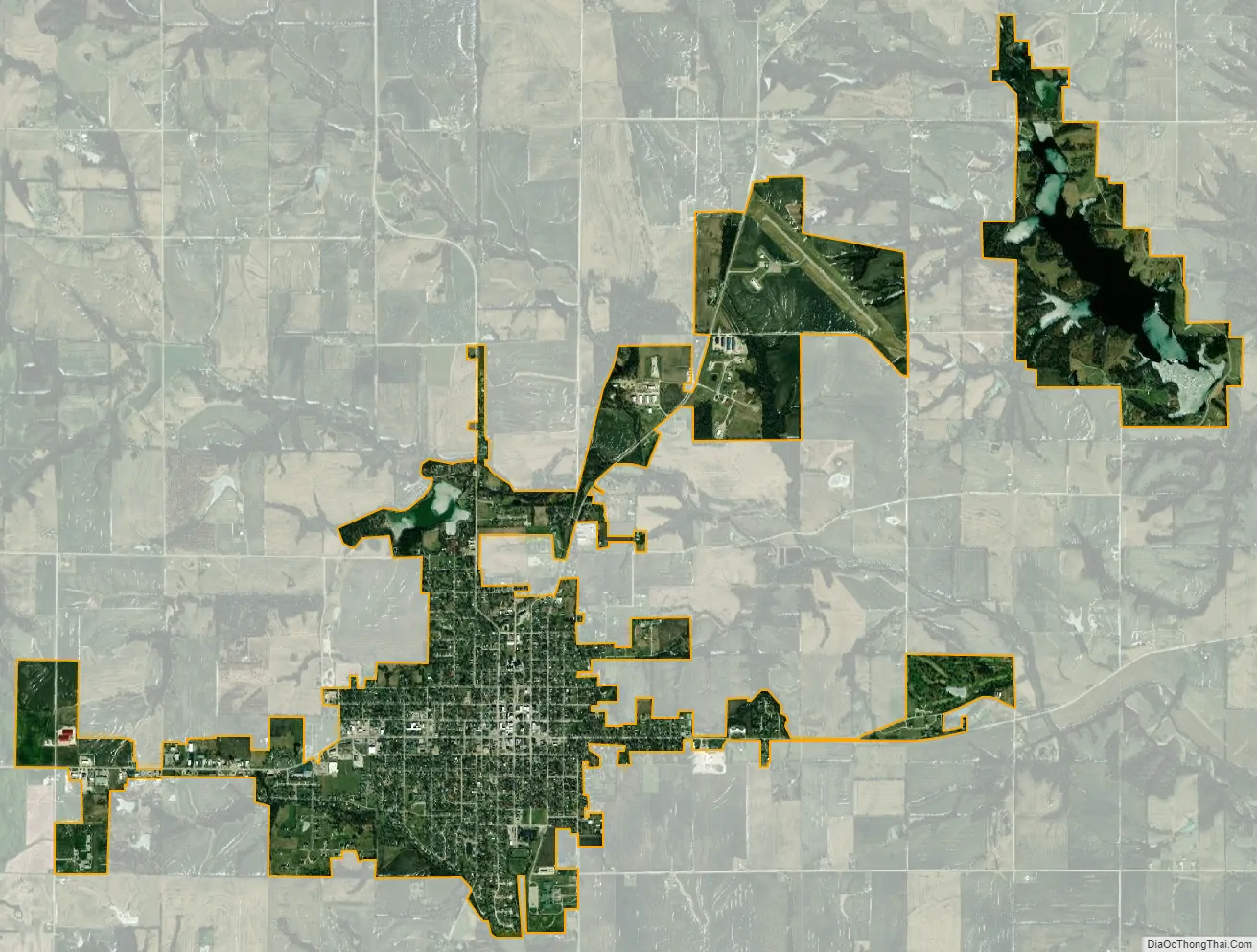
Pittsfield city Satellite Map
Geography
Pittsfield is on U.S. Route 54 between the Mississippi River approximately eight miles to the southwest and the Illinois River approximately eight miles to the east. Bay Creek flows past just north and east of the city.
According to the 2010 census, Pittsfield has a total area of 4.968 square miles (12.87 km), of which 4.58 square miles (11.86 km) (or 92.19%) is land and 0.388 square miles (1.00 km) (or 7.81%) is water.
Pittsfield’s drinking water supply is provided by Lake Pittsfield, an artificial reservoir held in by an earth and concrete dam. The 200-acre (0.81 km) lake is located within a 680-acre (2.8 km) park that has become a prime recreational area offering boating, fishing, RV and primitive camping, hiking, disc golf, and other outdoor activities.
Pittsfield, along with the bulk of Pike County, is located in the land between the Illinois and Mississippi rivers as they move toward convergence in St. Louis. The land is riddled with streams and bottom lands mostly draining through the McGee Creek drainage basin into the Illinois River. Thus, the land around Pittsfield and Pike County is much more hilly and forested than the rest of the plains of central Illinois. This geography, combined with a relative lack of heavy development, make the areas around Pittsfield particularly suited to wildlife. Pittsfield regularly attracts large numbers of out-of-state game hunters, and Pike county consistently leads all other Illinois counties in the number of deer harvested during fall hunting seasons.
Climate
See also
Map of Illinois State and its subdivision:- Adams
- Alexander
- Bond
- Boone
- Brown
- Bureau
- Calhoun
- Carroll
- Cass
- Champaign
- Christian
- Clark
- Clay
- Clinton
- Coles
- Cook
- Crawford
- Cumberland
- De Kalb
- De Witt
- Douglas
- Dupage
- Edgar
- Edwards
- Effingham
- Fayette
- Ford
- Franklin
- Fulton
- Gallatin
- Greene
- Grundy
- Hamilton
- Hancock
- Hardin
- Henderson
- Henry
- Iroquois
- Jackson
- Jasper
- Jefferson
- Jersey
- Jo Daviess
- Johnson
- Kane
- Kankakee
- Kendall
- Knox
- La Salle
- Lake
- Lake Michigan
- Lawrence
- Lee
- Livingston
- Logan
- Macon
- Macoupin
- Madison
- Marion
- Marshall
- Mason
- Massac
- McDonough
- McHenry
- McLean
- Menard
- Mercer
- Monroe
- Montgomery
- Morgan
- Moultrie
- Ogle
- Peoria
- Perry
- Piatt
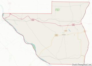
- Pike
- Pope
- Pulaski
- Putnam
- Randolph
- Richland
- Rock Island
- Saint Clair
- Saline
- Sangamon
- Schuyler
- Scott
- Shelby
- Stark
- Stephenson
- Tazewell
- Union
- Vermilion
- Wabash
- Warren
- Washington
- Wayne
- White
- Whiteside
- Will
- Williamson
- Winnebago
- Woodford
- Alabama
- Alaska
- Arizona
- Arkansas
- California
- Colorado
- Connecticut
- Delaware
- District of Columbia
- Florida
- Georgia
- Hawaii
- Idaho
- Illinois
- Indiana
- Iowa
- Kansas
- Kentucky
- Louisiana
- Maine
- Maryland
- Massachusetts
- Michigan
- Minnesota
- Mississippi
- Missouri
- Montana
- Nebraska
- Nevada
- New Hampshire
- New Jersey
- New Mexico
- New York
- North Carolina
- North Dakota
- Ohio
- Oklahoma
- Oregon
- Pennsylvania
- Rhode Island
- South Carolina
- South Dakota
- Tennessee
- Texas
- Utah
- Vermont
- Virginia
- Washington
- West Virginia
- Wisconsin
- Wyoming