Phillipstown is a village in White County, Illinois, United States. The population was 28 at the 2000 census.
| Name: | Phillipstown village |
|---|---|
| LSAD Code: | 47 |
| LSAD Description: | village (suffix) |
| State: | Illinois |
| County: | White County |
| Elevation: | 489 ft (149 m) |
| Total Area: | 0.27 sq mi (0.70 km²) |
| Land Area: | 0.27 sq mi (0.70 km²) |
| Water Area: | 0.00 sq mi (0.00 km²) |
| Total Population: | 34 |
| Population Density: | 125.93/sq mi (48.54/km²) |
| Area code: | 618 |
| FIPS code: | 1759520 |
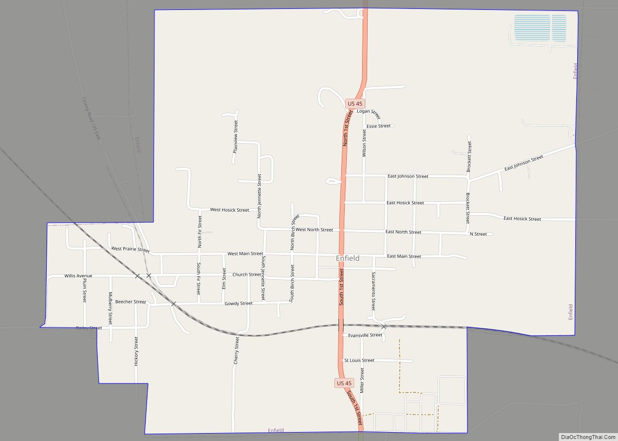
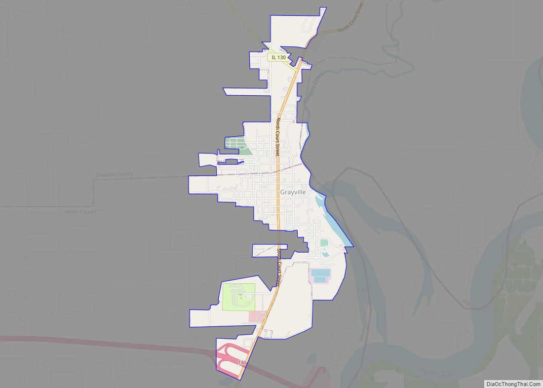
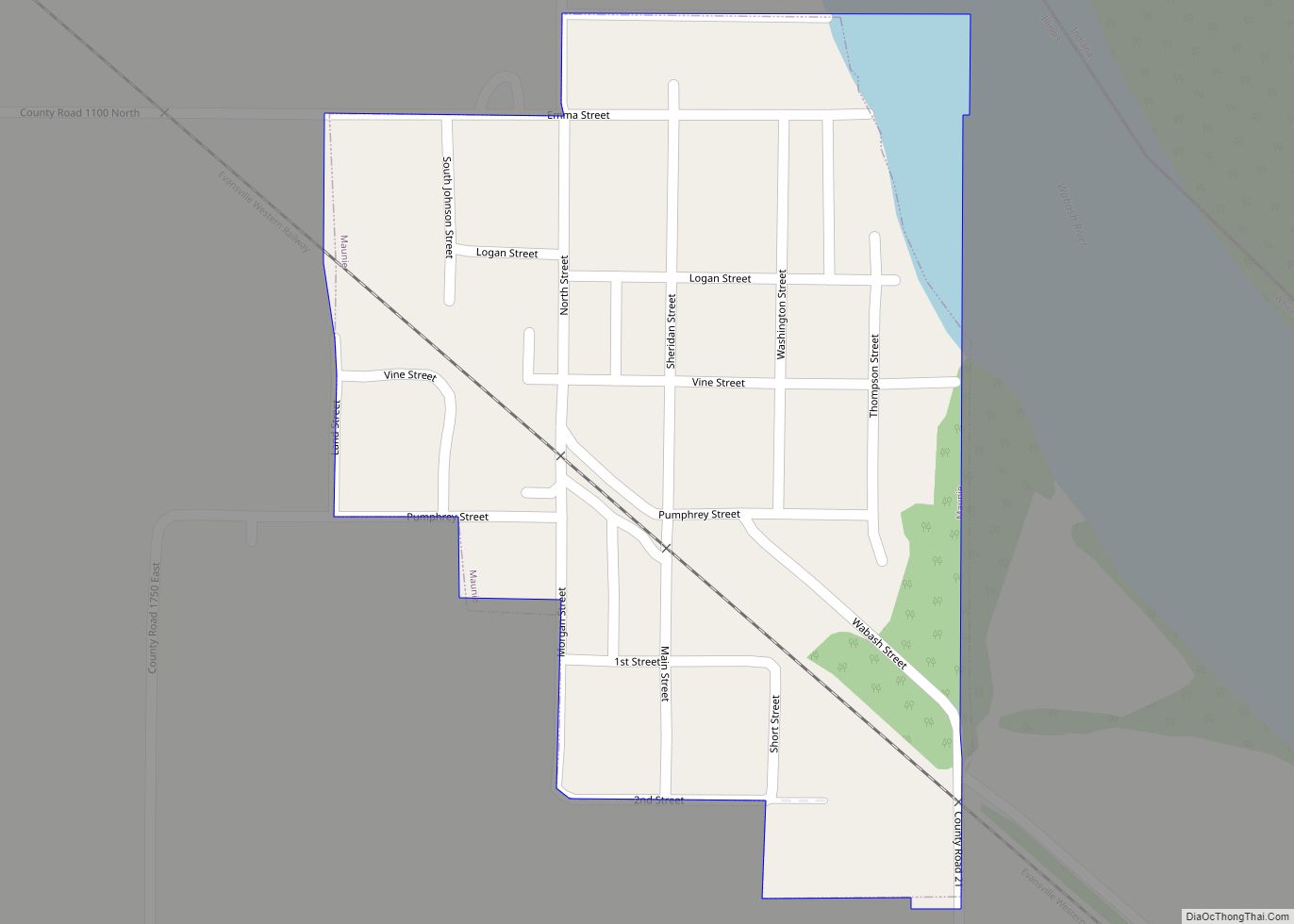
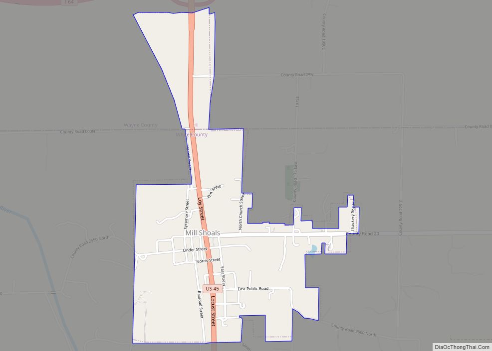
Online Interactive Map
Click on ![]() to view map in "full screen" mode.
to view map in "full screen" mode.
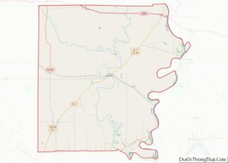
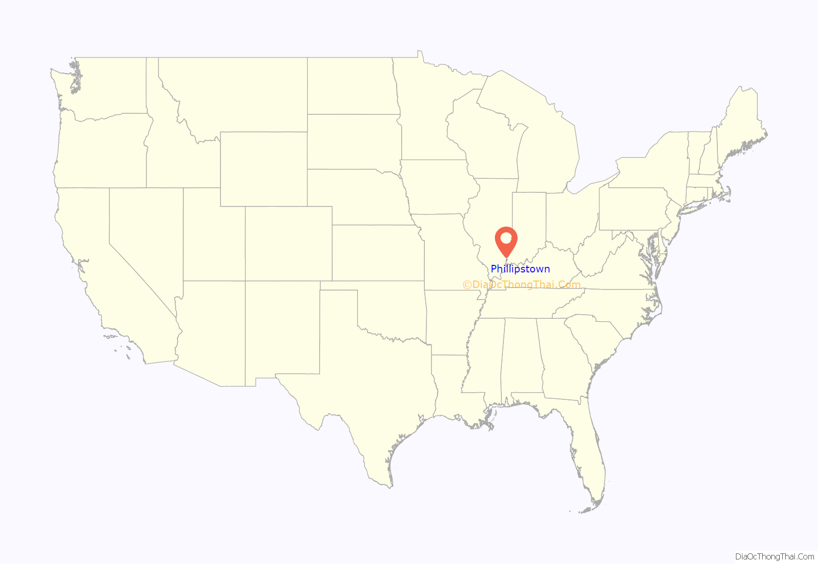
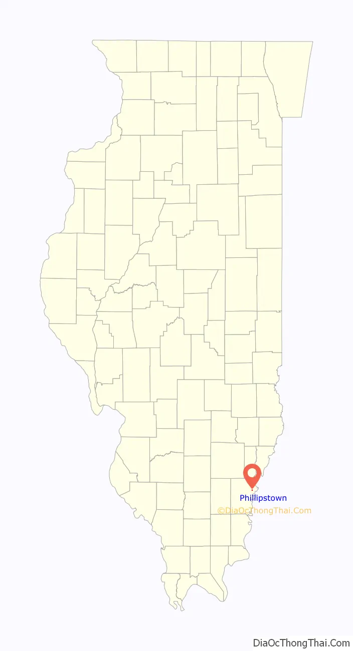
Phillipstown location map. Where is Phillipstown village?
History
Phillipstown was surveyed for Caleb Clifford on February 19, 1839 and the plat was recorded on January 2, 1843. It was originally named Victoria, but at that time the name was already in use by another post office in Illinois, so a new name had to be chosen. By order of the State Legislature, on January 29, 1840 it was renamed in honor of Major Alexander Phillips, an early settler of the area who had made a land entry for an adjoining property in 1817 while the area was still part of Illinois Territory.
The land upon which Phillipstown was platted had originally been entered by James Phillips, who quite likely was Alexander Phillips’ father. James’ interest in the land was sold to David Phillips and John McClure Graham (husband of Rebecca Phillips), who received a patent to the land on November 15, 1830 (David and Rebecca were likely siblings of Alexander). They sold the property to Major Alexander Phillips on January 6, 1837. On February 17, 1837, he sold the property to Caleb Clifford.
In addition to his service during the War of 1812, Major Alexander Phillips was also elected to serve in the House of Representatives for White County, Illinois in the 1st, 2nd, 3rd, 4th, 11th & 12th Illinois General Assemblies.
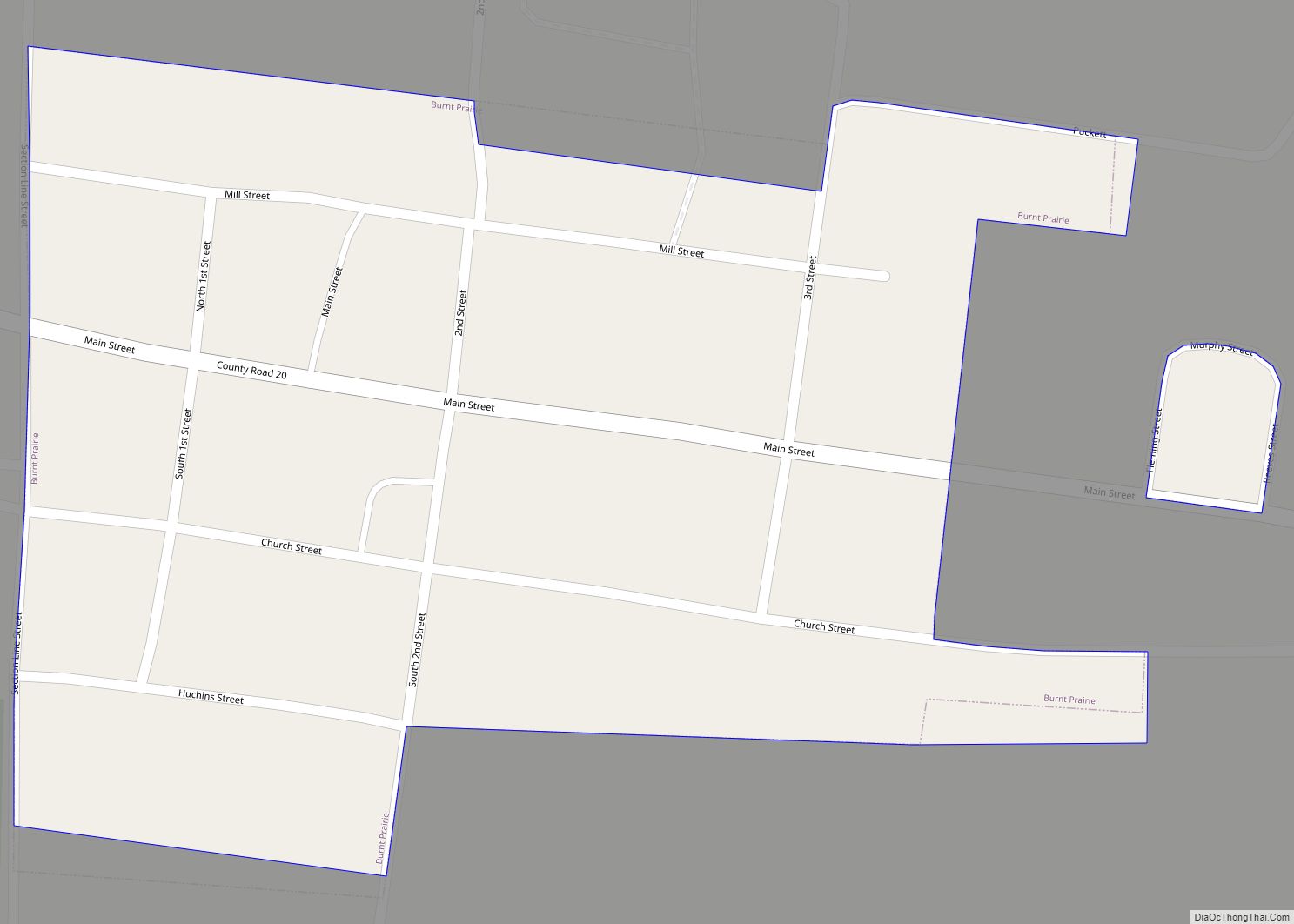
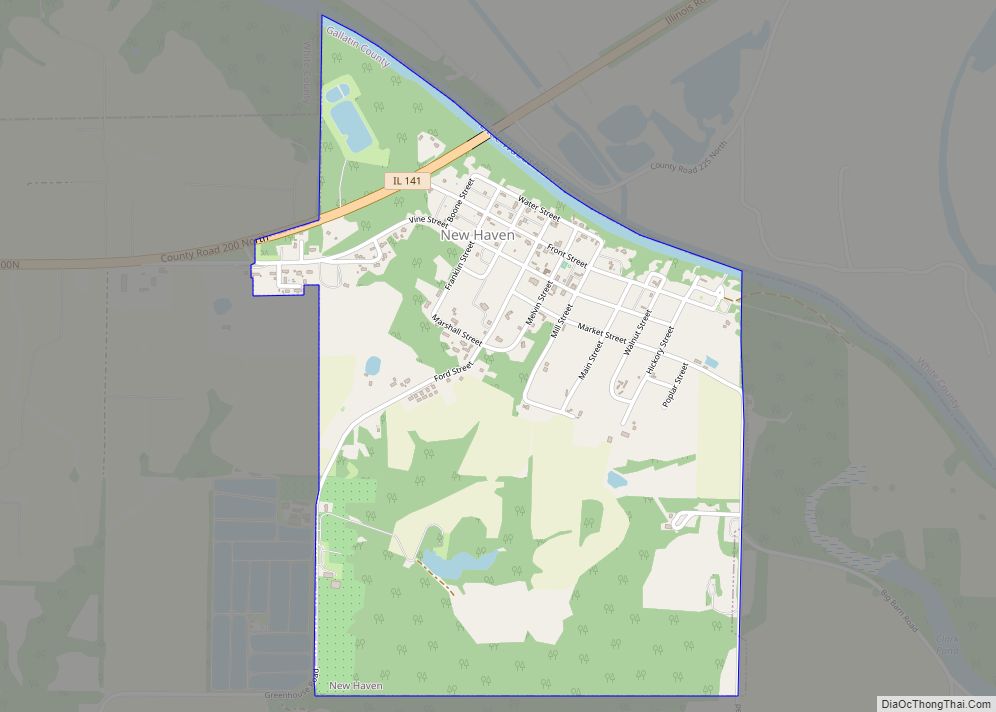
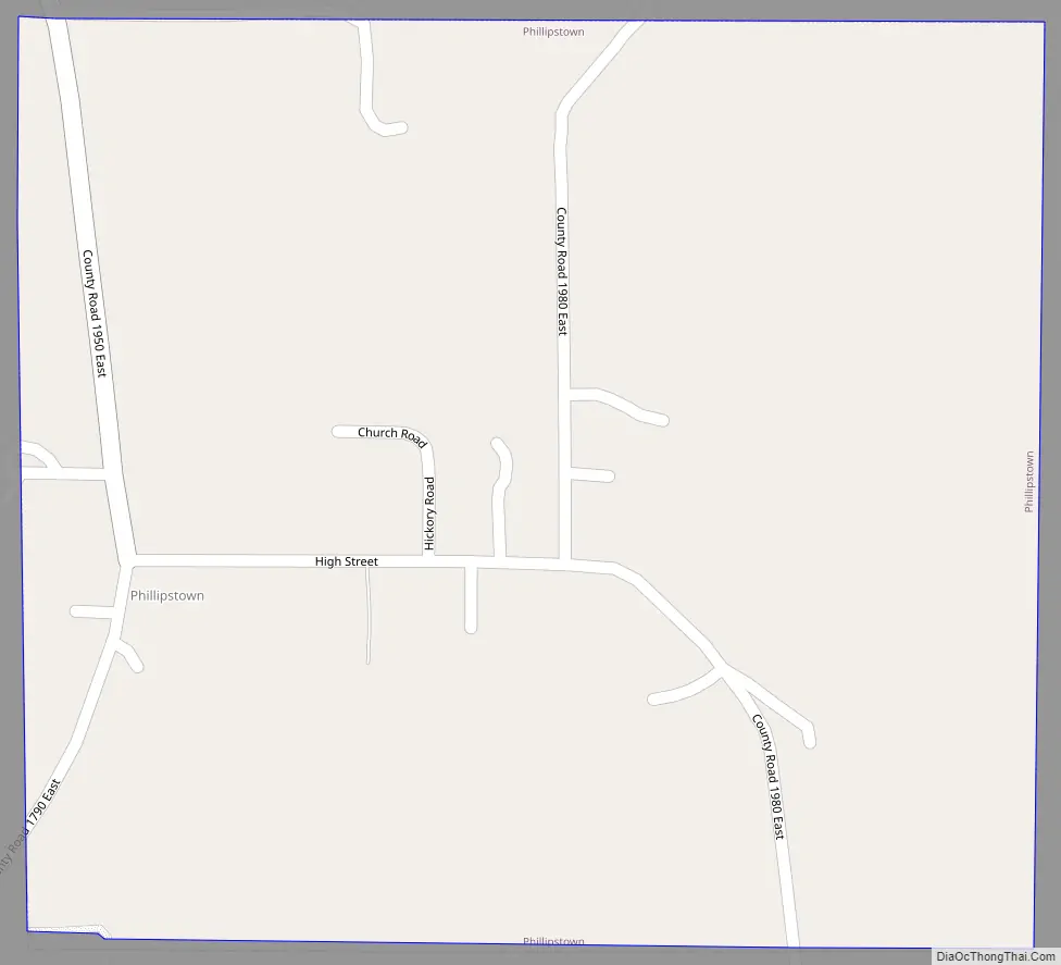
Phillipstown Road Map
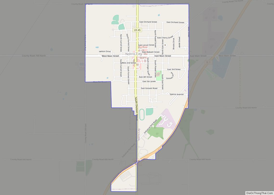
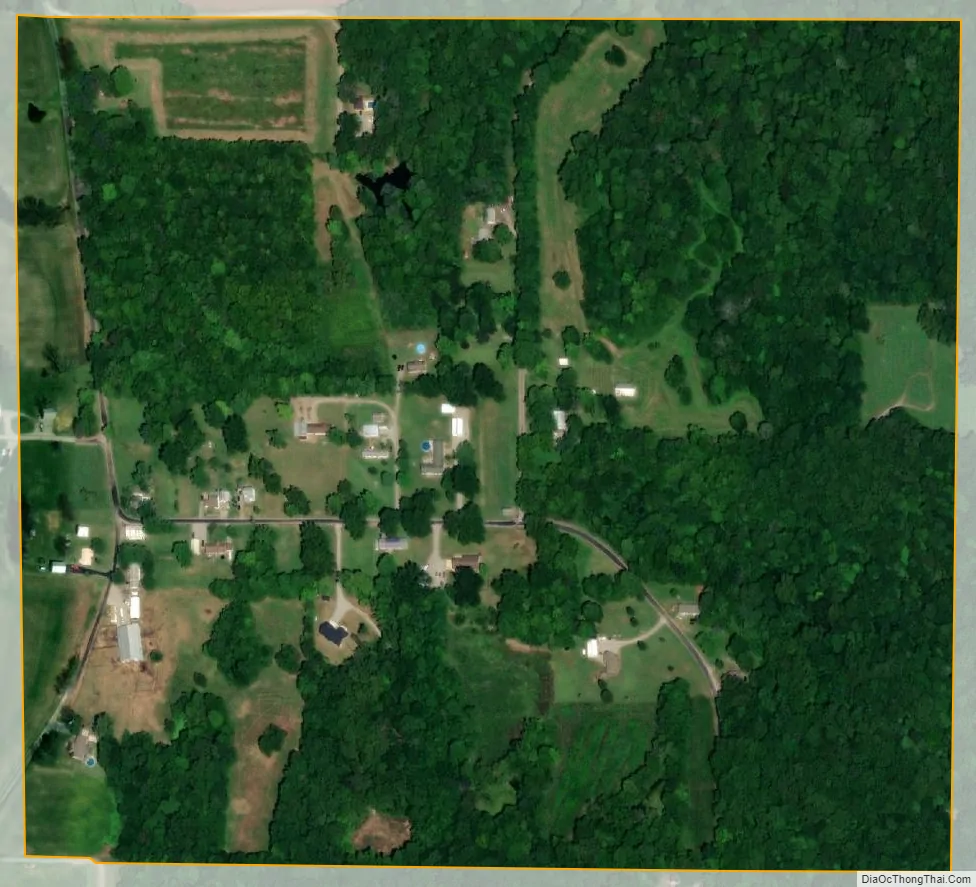
Phillipstown city Satellite Map
Geography
Phillipstown is located at 38°8′42″N 88°1′13″W / 38.14500°N 88.02028°W / 38.14500; -88.02028 (38.145033, -88.020172).
According to the 2010 census, Phillipstown has a total area of 0.27 square miles (0.70 km), all land.
See also
Map of Illinois State and its subdivision:- Adams
- Alexander
- Bond
- Boone
- Brown
- Bureau
- Calhoun
- Carroll
- Cass
- Champaign
- Christian
- Clark
- Clay
- Clinton
- Coles
- Cook
- Crawford
- Cumberland
- De Kalb
- De Witt
- Douglas
- Dupage
- Edgar
- Edwards
- Effingham
- Fayette
- Ford
- Franklin
- Fulton
- Gallatin
- Greene
- Grundy
- Hamilton
- Hancock
- Hardin
- Henderson
- Henry
- Iroquois
- Jackson
- Jasper
- Jefferson
- Jersey
- Jo Daviess
- Johnson
- Kane
- Kankakee
- Kendall
- Knox
- La Salle
- Lake
- Lake Michigan
- Lawrence
- Lee
- Livingston
- Logan
- Macon
- Macoupin
- Madison
- Marion
- Marshall
- Mason
- Massac
- McDonough
- McHenry
- McLean
- Menard
- Mercer
- Monroe
- Montgomery
- Morgan
- Moultrie
- Ogle
- Peoria
- Perry
- Piatt
- Pike
- Pope
- Pulaski
- Putnam
- Randolph
- Richland
- Rock Island
- Saint Clair
- Saline
- Sangamon
- Schuyler
- Scott
- Shelby
- Stark
- Stephenson
- Tazewell
- Union
- Vermilion
- Wabash
- Warren
- Washington
- Wayne
- White
- Whiteside
- Will
- Williamson
- Winnebago
- Woodford
- Alabama
- Alaska
- Arizona
- Arkansas
- California
- Colorado
- Connecticut
- Delaware
- District of Columbia
- Florida
- Georgia
- Hawaii
- Idaho
- Illinois
- Indiana
- Iowa
- Kansas
- Kentucky
- Louisiana
- Maine
- Maryland
- Massachusetts
- Michigan
- Minnesota
- Mississippi
- Missouri
- Montana
- Nebraska
- Nevada
- New Hampshire
- New Jersey
- New Mexico
- New York
- North Carolina
- North Dakota
- Ohio
- Oklahoma
- Oregon
- Pennsylvania
- Rhode Island
- South Carolina
- South Dakota
- Tennessee
- Texas
- Utah
- Vermont
- Virginia
- Washington
- West Virginia
- Wisconsin
- Wyoming