Plainville is a village in Adams County, Illinois, United States. The population was 271 at the 2020 census. It is part of the Quincy, IL–MO Micropolitan Statistical Area.
| Name: | Plainville village |
|---|---|
| LSAD Code: | 47 |
| LSAD Description: | village (suffix) |
| State: | Illinois |
| County: | Adams County |
| Elevation: | 689 ft (210 m) |
| Total Area: | 0.23 sq mi (0.61 km²) |
| Land Area: | 0.23 sq mi (0.61 km²) |
| Water Area: | 0.00 sq mi (0.00 km²) 0% |
| Total Population: | 271 |
| Population Density: | 1,153.19/sq mi (445.76/km²) |
| Area code: | 217 |
| FIPS code: | 1760339 |
| GNISfeature ID: | 2399685 |
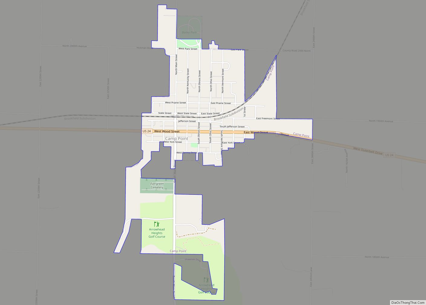
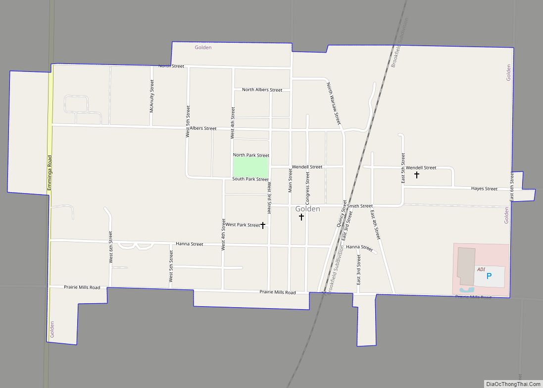
Online Interactive Map
Click on ![]() to view map in "full screen" mode.
to view map in "full screen" mode.
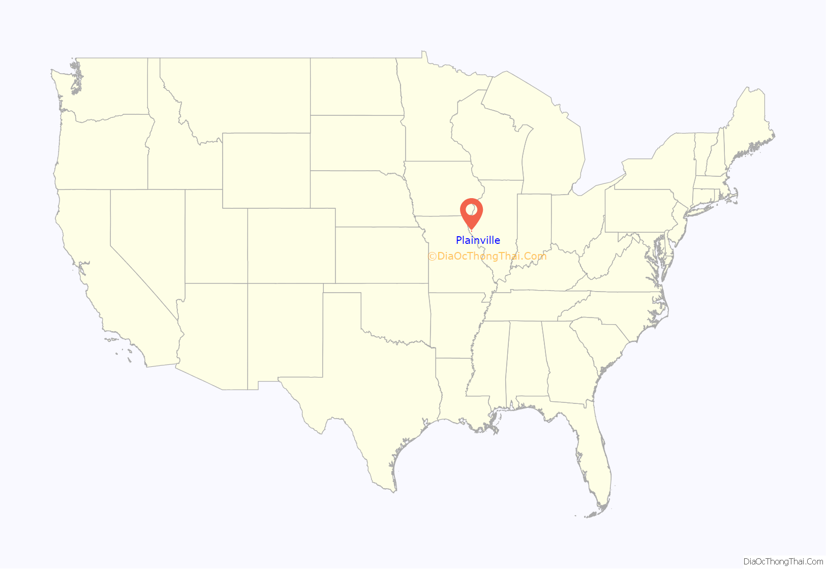
Plainville location map. Where is Plainville village?

History
Plainville was originally called Stone’s Prairie after Samuel Stone who settled here in 1822.
In the 1860 presidential election campaign, Plainville was the site of a political rally involving around 7,000 people. This resulted in the “Stone’s Prairie Riot” on August 25, 1860, at which the Republican Party para-military organization, the “Wide Awakes”, confronted armed supporters of the Democratic Party.
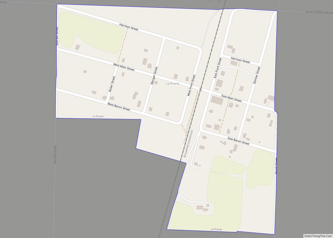
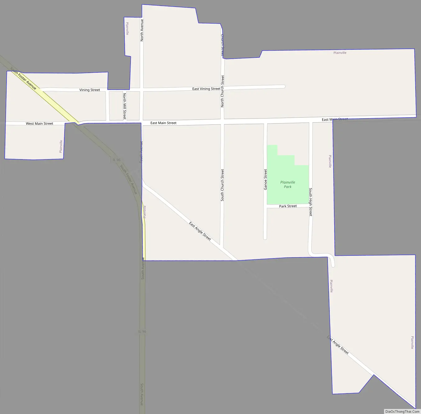
Plainville Road Map
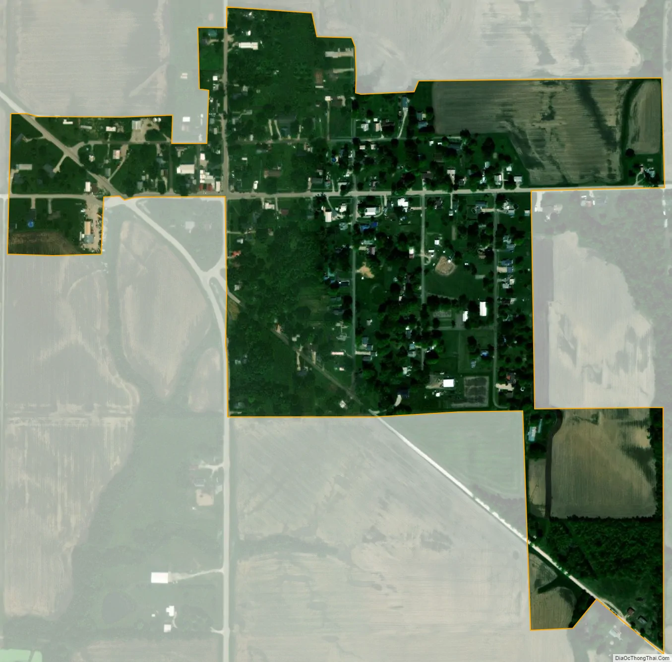
Plainville city Satellite Map
Geography
Plainville is located at 39°47′4″N 91°11′2″W / 39.78444°N 91.18389°W / 39.78444; -91.18389 (39.784364, -91.183868).
According to the 2021 census gazetteer files, Plainville has a total area of 0.24 square miles (0.62 km), all land.
See also
Map of Illinois State and its subdivision:- Adams
- Alexander
- Bond
- Boone
- Brown
- Bureau
- Calhoun
- Carroll
- Cass
- Champaign
- Christian
- Clark
- Clay
- Clinton
- Coles
- Cook
- Crawford
- Cumberland
- De Kalb
- De Witt
- Douglas
- Dupage
- Edgar
- Edwards
- Effingham
- Fayette
- Ford
- Franklin
- Fulton
- Gallatin
- Greene
- Grundy
- Hamilton
- Hancock
- Hardin
- Henderson
- Henry
- Iroquois
- Jackson
- Jasper
- Jefferson
- Jersey
- Jo Daviess
- Johnson
- Kane
- Kankakee
- Kendall
- Knox
- La Salle
- Lake
- Lake Michigan
- Lawrence
- Lee
- Livingston
- Logan
- Macon
- Macoupin
- Madison
- Marion
- Marshall
- Mason
- Massac
- McDonough
- McHenry
- McLean
- Menard
- Mercer
- Monroe
- Montgomery
- Morgan
- Moultrie
- Ogle
- Peoria
- Perry
- Piatt
- Pike
- Pope
- Pulaski
- Putnam
- Randolph
- Richland
- Rock Island
- Saint Clair
- Saline
- Sangamon
- Schuyler
- Scott
- Shelby
- Stark
- Stephenson
- Tazewell
- Union
- Vermilion
- Wabash
- Warren
- Washington
- Wayne
- White
- Whiteside
- Will
- Williamson
- Winnebago
- Woodford
- Alabama
- Alaska
- Arizona
- Arkansas
- California
- Colorado
- Connecticut
- Delaware
- District of Columbia
- Florida
- Georgia
- Hawaii
- Idaho
- Illinois
- Indiana
- Iowa
- Kansas
- Kentucky
- Louisiana
- Maine
- Maryland
- Massachusetts
- Michigan
- Minnesota
- Mississippi
- Missouri
- Montana
- Nebraska
- Nevada
- New Hampshire
- New Jersey
- New Mexico
- New York
- North Carolina
- North Dakota
- Ohio
- Oklahoma
- Oregon
- Pennsylvania
- Rhode Island
- South Carolina
- South Dakota
- Tennessee
- Texas
- Utah
- Vermont
- Virginia
- Washington
- West Virginia
- Wisconsin
- Wyoming