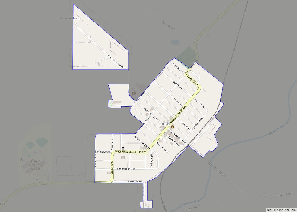
Laurel is a town in Laurel Township, Franklin County, Indiana, United States. The population was 512 at the 2010 census. Laurel town overview: Name: Laurel town LSAD Code: 43 LSAD Description: town (suffix) State: Indiana County: Franklin County Elevation: 725 ft (221 m) Total Area: 0.24 sq mi (0.62 km²) Land Area: 0.24 sq mi (0.62 km²) Water Area: 0.00 sq mi (0.00 km²) Total Population: ... Read more
Indiana Cities and Places
Lebanon (/ˈlɛbnən/) is a city in and the county seat of Boone County, Indiana, United States. The population was 15,792 at the 2010 census. Lebanon is located in central Indiana, approximately 29 miles (47 km) northwest of downtown Indianapolis and 36 miles (58 km) southeast of Lafayette. Lebanon city overview: Name: Lebanon city LSAD Code: 25 LSAD ... Read more
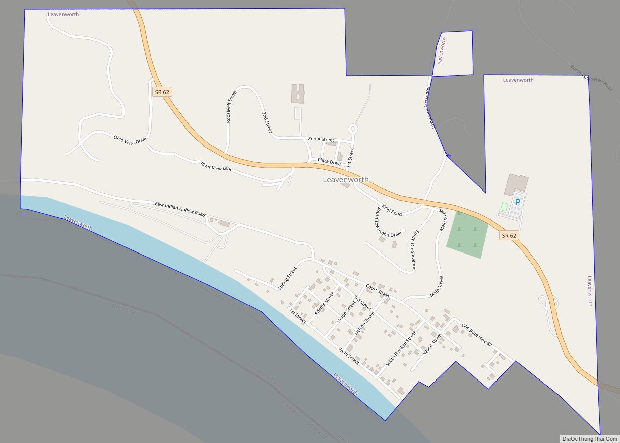
Leavenworth is a town in Jennings Township, Crawford County, Indiana, along the Ohio River. The 2010 US Census recorded a population of 238 persons. Leavenworth town overview: Name: Leavenworth town LSAD Code: 43 LSAD Description: town (suffix) State: Indiana County: Crawford County Elevation: 659 ft (201 m) Total Area: 0.92 sq mi (2.39 km²) Land Area: 0.88 sq mi (2.27 km²) Water Area: ... Read more
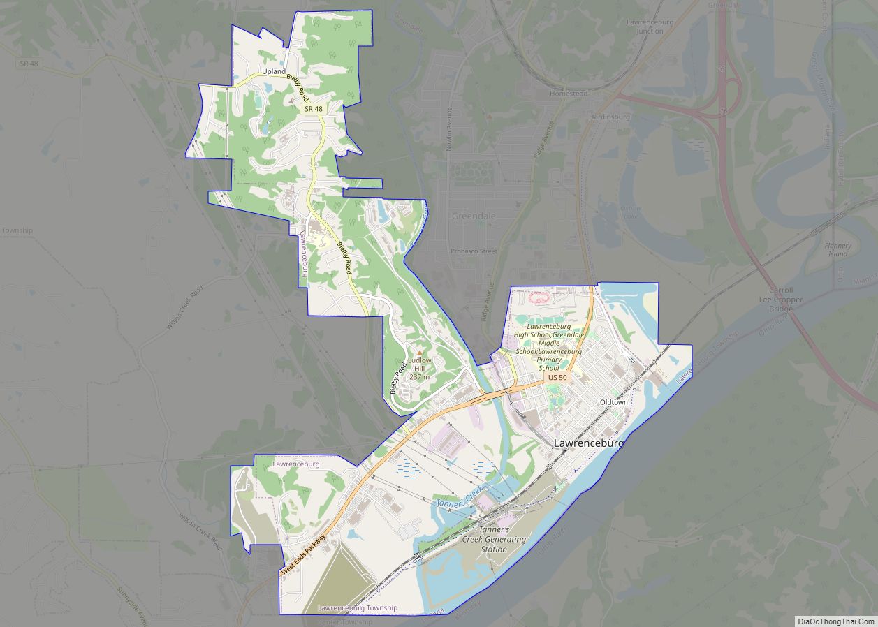
Lawrenceburg is a city in Dearborn County, Indiana, United States. The population was 5,042 at the 2010 census. The city is the county seat and largest city of Dearborn County. Lawrenceburg is in southeast Indiana, on the Ohio River west of Cincinnati. Lawrenceburg city overview: Name: Lawrenceburg city LSAD Code: 25 LSAD Description: city (suffix) ... Read more
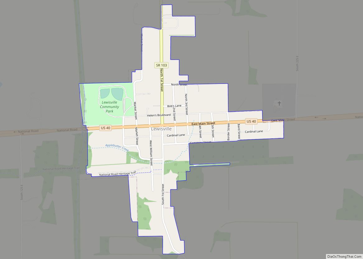
Lewisville is a town in Franklin Township, Henry County, Indiana, United States. The population was 366 at the 2010 census. Lewisville town overview: Name: Lewisville town LSAD Code: 43 LSAD Description: town (suffix) State: Indiana County: Henry County Elevation: 1,053 ft (321 m) Total Area: 0.26 sq mi (0.67 km²) Land Area: 0.26 sq mi (0.67 km²) Water Area: 0.00 sq mi (0.00 km²) Total Population: ... Read more
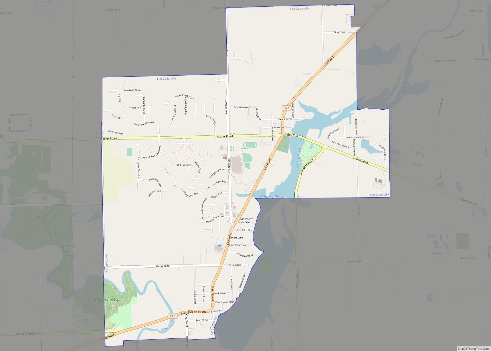
Leo-Cedarville is a town in Cedar Creek Township, Allen County, Indiana, United States. The population was 3,603 at the 2010 census. Leo-Cedarville town overview: Name: Leo-Cedarville town LSAD Code: 43 LSAD Description: town (suffix) State: Indiana County: Allen County Elevation: 797 ft (243 m) Total Area: 3.86 sq mi (9.99 km²) Land Area: 3.72 sq mi (9.65 km²) Water Area: 0.13 sq mi (0.34 km²) Total ... Read more
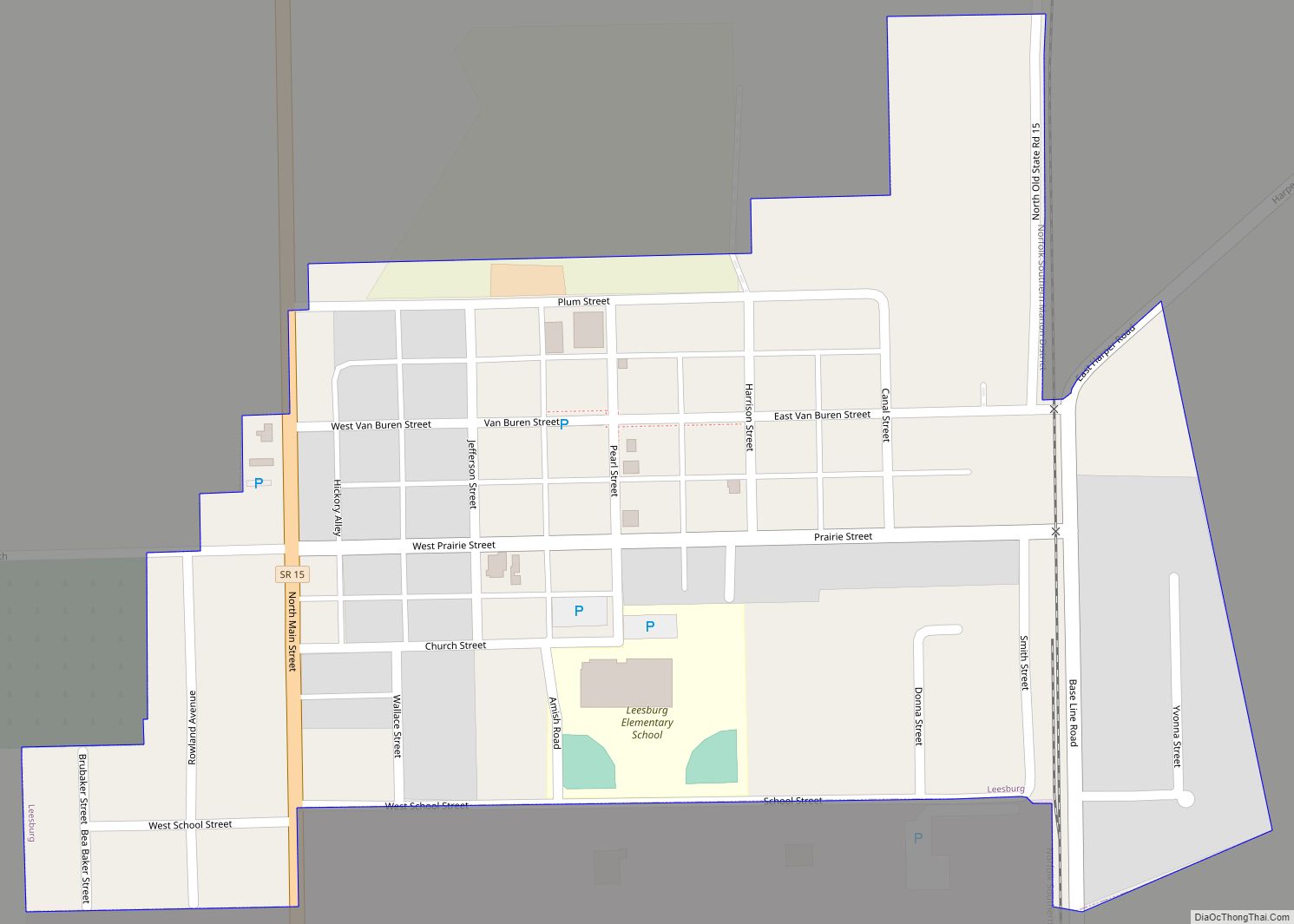
Leesburg is a town in Plain Township, Kosciusko County, in the U.S. state of Indiana. The population was 555 at the 2010 census. The town of Leesburg was laid out in 1833 by Levi Lee. It includes the Leesburg Historic District. Leesburg town overview: Name: Leesburg town LSAD Code: 43 LSAD Description: town (suffix) State: ... Read more
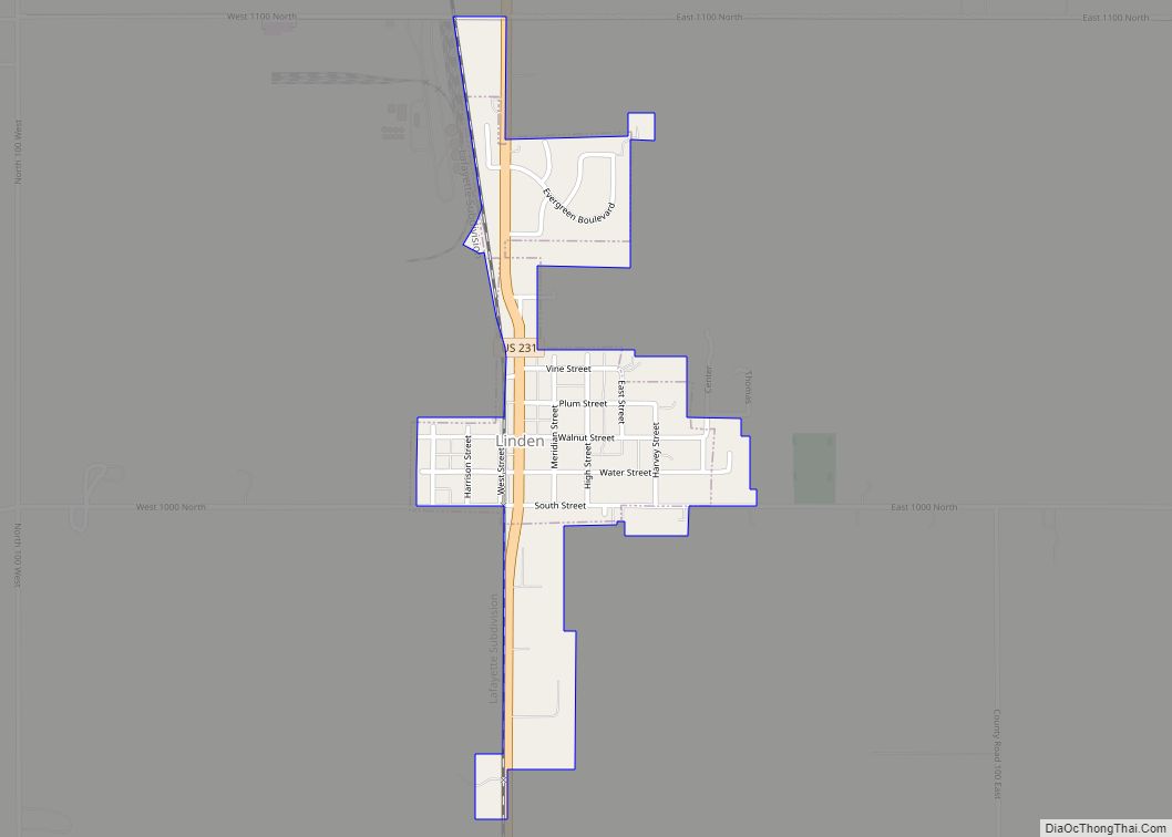
Linden is a town in Madison Township, Montgomery County, in the U.S. state of Indiana. The population was 711 at the 2020 census. Linden town overview: Name: Linden town LSAD Code: 43 LSAD Description: town (suffix) State: Indiana County: Montgomery County Elevation: 797 ft (243 m) Total Area: 0.39 sq mi (1.01 km²) Land Area: 0.39 sq mi (1.01 km²) Water Area: 0.00 sq mi ... Read more
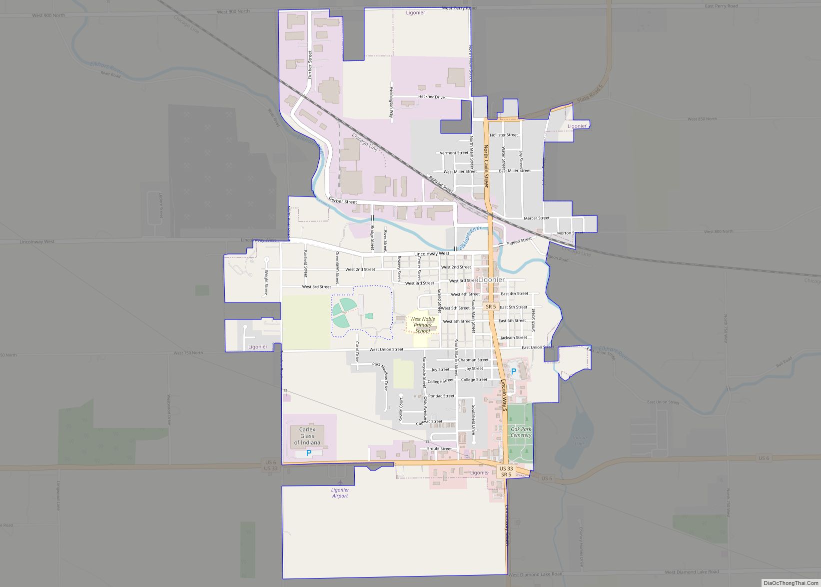
Ligonier is a city in Perry Township, Noble County, in the U.S. state of Indiana. The population was 4,405 at the 2010 census. Ligonier city overview: Name: Ligonier city LSAD Code: 25 LSAD Description: city (suffix) State: Indiana County: Noble County Elevation: 876 ft (267 m) Total Area: 2.80 sq mi (7.26 km²) Land Area: 2.80 sq mi (7.25 km²) Water Area: 0.00 sq mi ... Read more
Liberty is a town in and the county seat of Union County, Indiana, United States, located about 5 miles (8.0 km) west of the state’s border with Ohio. The population was 2,000 at the 2020 census. Liberty town overview: Name: Liberty town LSAD Code: 43 LSAD Description: town (suffix) State: Indiana County: Union County Elevation: 984 ft ... Read more
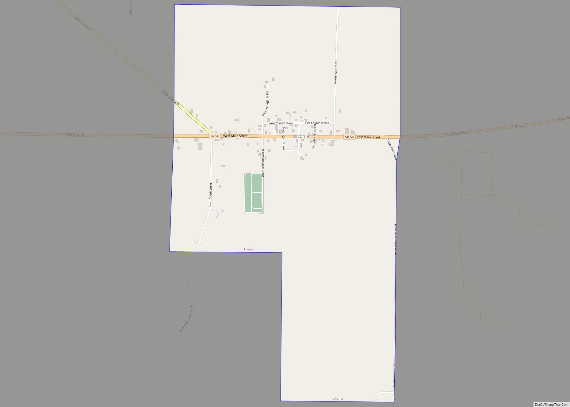
Livonia is a town in Madison Township, Washington County, in the U.S. state of Indiana. The population was 128 at the 2010 census. Livonia town overview: Name: Livonia town LSAD Code: 43 LSAD Description: town (suffix) State: Indiana County: Washington County Elevation: 784 ft (239 m) Total Area: 1.04 sq mi (2.69 km²) Land Area: 1.04 sq mi (2.69 km²) Water Area: 0.00 sq mi ... Read more
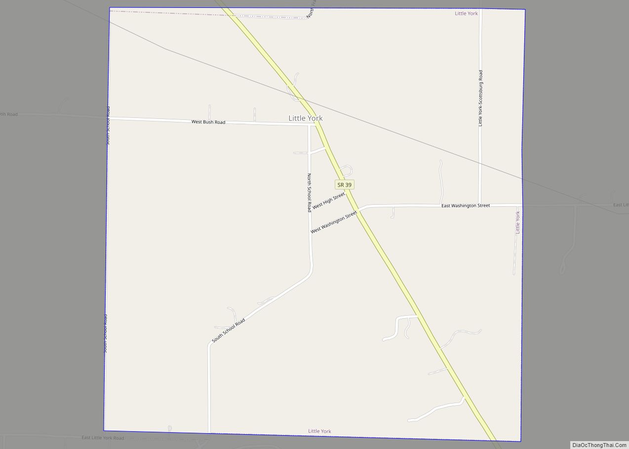
Little York is a town in Gibson Township, Washington County, in the U.S. state of Indiana. The population was 192 at the 2010 census. Little York town overview: Name: Little York town LSAD Code: 43 LSAD Description: town (suffix) State: Indiana County: Washington County Elevation: 545 ft (166 m) Total Area: 0.98 sq mi (2.54 km²) Land Area: 0.98 sq mi (2.54 km²) ... Read more
