Lebanon (/ˈlɛbnən/) is a city in and the county seat of Boone County, Indiana, United States. The population was 15,792 at the 2010 census. Lebanon is located in central Indiana, approximately 29 miles (47 km) northwest of downtown Indianapolis and 36 miles (58 km) southeast of Lafayette.
| Name: | Lebanon city |
|---|---|
| LSAD Code: | 25 |
| LSAD Description: | city (suffix) |
| State: | Indiana |
| County: | Boone County |
| Elevation: | 938 ft (286 m) |
| Total Area: | 17.32 sq mi (44.87 km²) |
| Land Area: | 17.31 sq mi (44.83 km²) |
| Water Area: | 0.02 sq mi (0.04 km²) 0.13% |
| Total Population: | 16,662 |
| Population Density: | 962.73/sq mi (371.71/km²) |
| ZIP code: | 46052 |
| Area code: | 765 |
| FIPS code: | 1842624 |
| GNISfeature ID: | 0437719 |
| Website: | http://www.lebanon.in.gov/ |
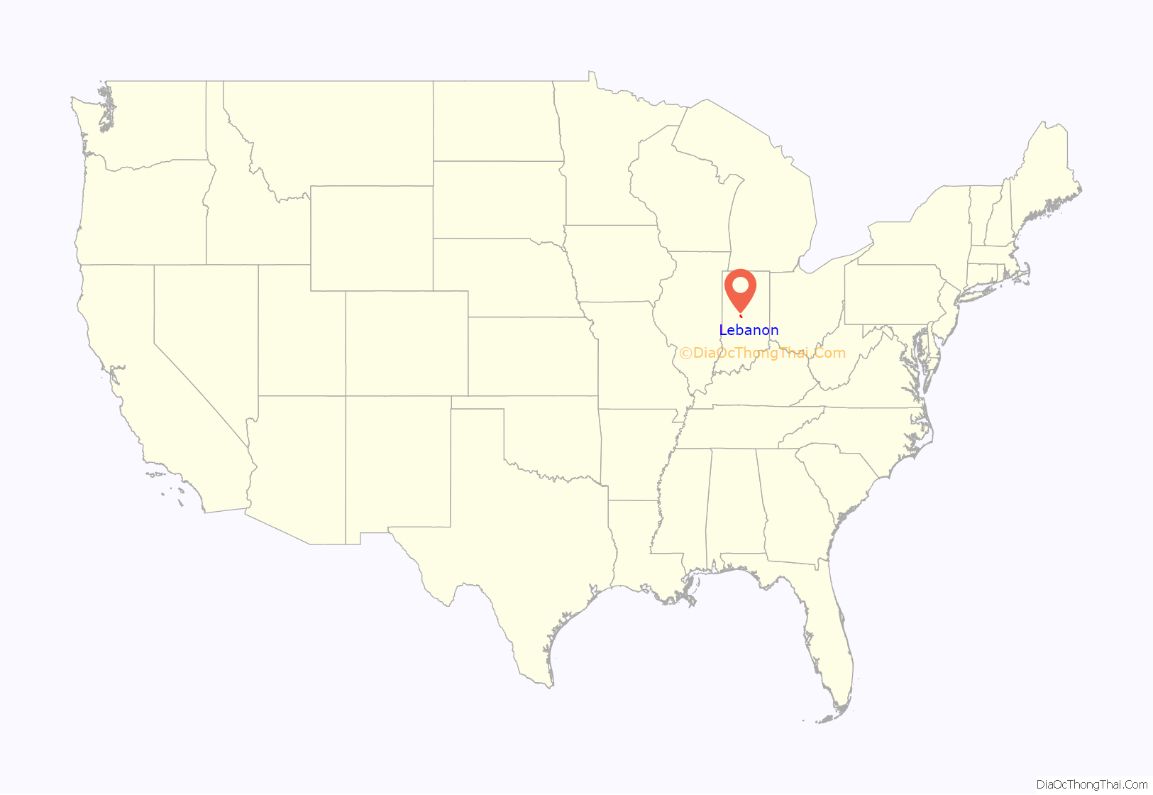
Online Interactive Map
Click on ![]() to view map in "full screen" mode.
to view map in "full screen" mode.
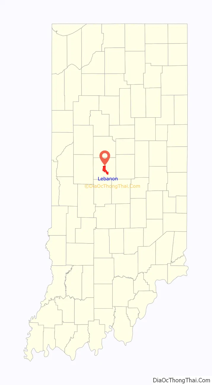
Lebanon location map. Where is Lebanon city?
History
Lebanon was founded in 1832. It was named by a pioneer settler who saw a stand of hickory trees on the site and was reminded of the Biblical cedars of Lebanon. The first post office at Lebanon was established in 1832.
Historical sites
Lebanon is the home of the Historic Cragun House. Built in 1893, it was once the home of Strange Nathaniel Cragun and his family. The family travelled the world, and their house is now a living history museum full of the pieces they collected from their travels as well as original furniture from the dwelling. This Victorian home is owned and maintained by the Boone County Historical Society and serves as headquarters for the organization. The Cragun House has been added to the National Register of Historic Places.
Also listed on the National Register of Historic Places are the Boone County Courthouse and Oak Hill Cemetery (Lebanon, Indiana).
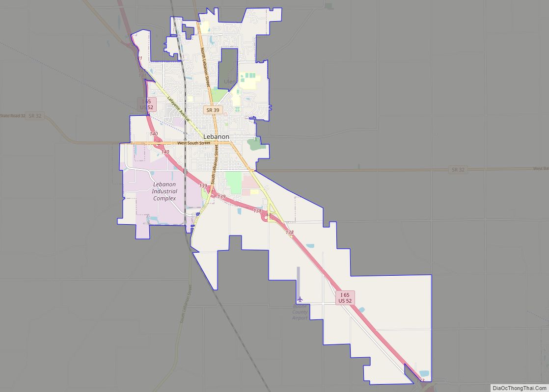
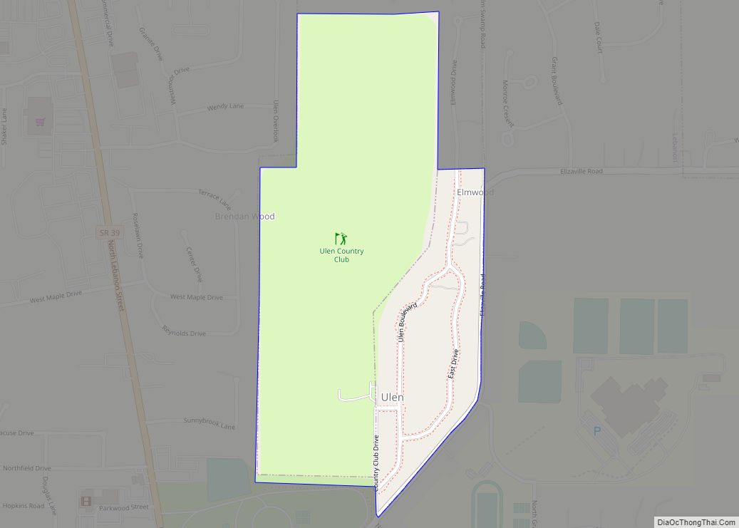
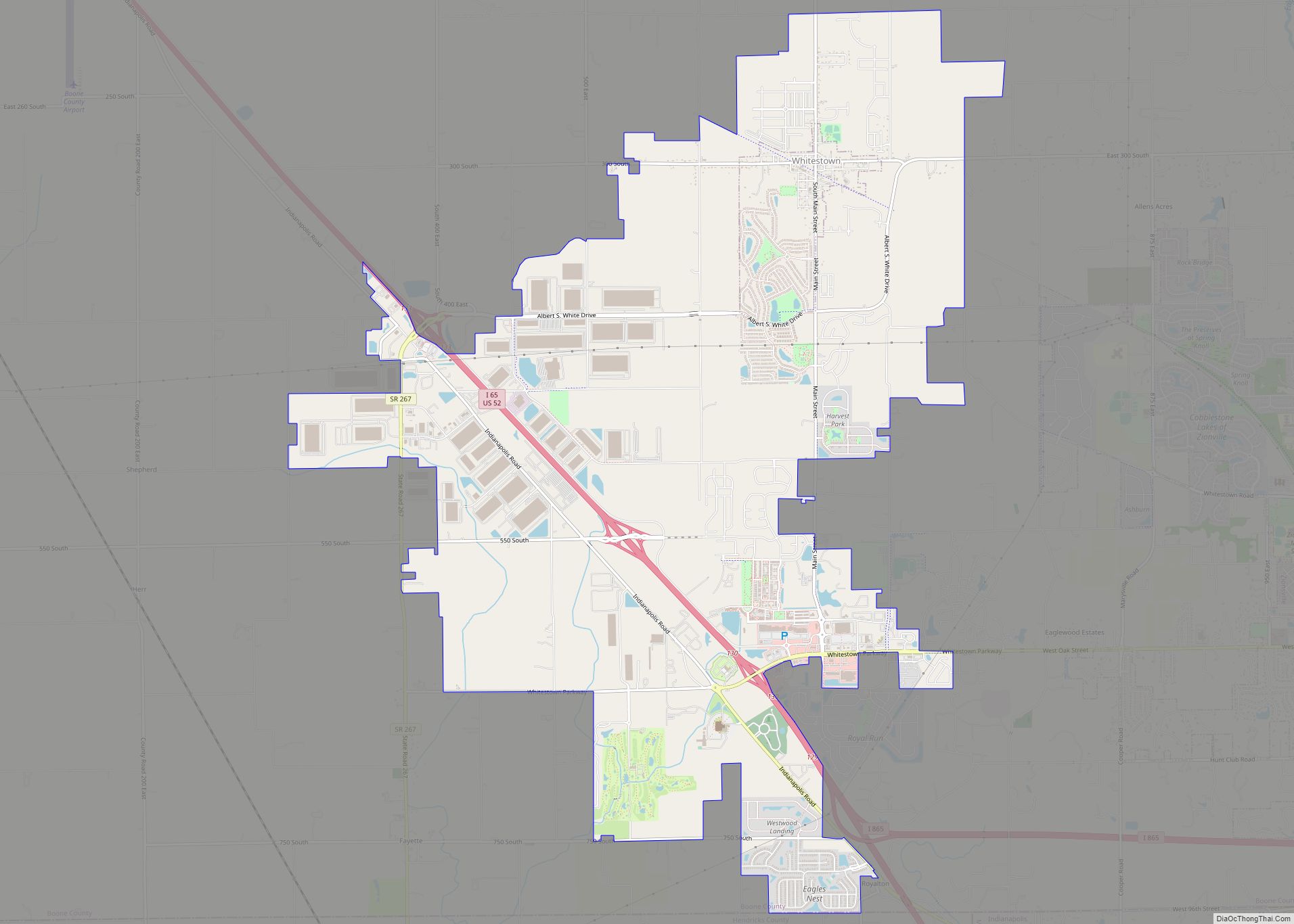
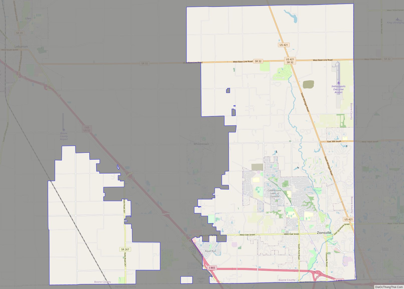
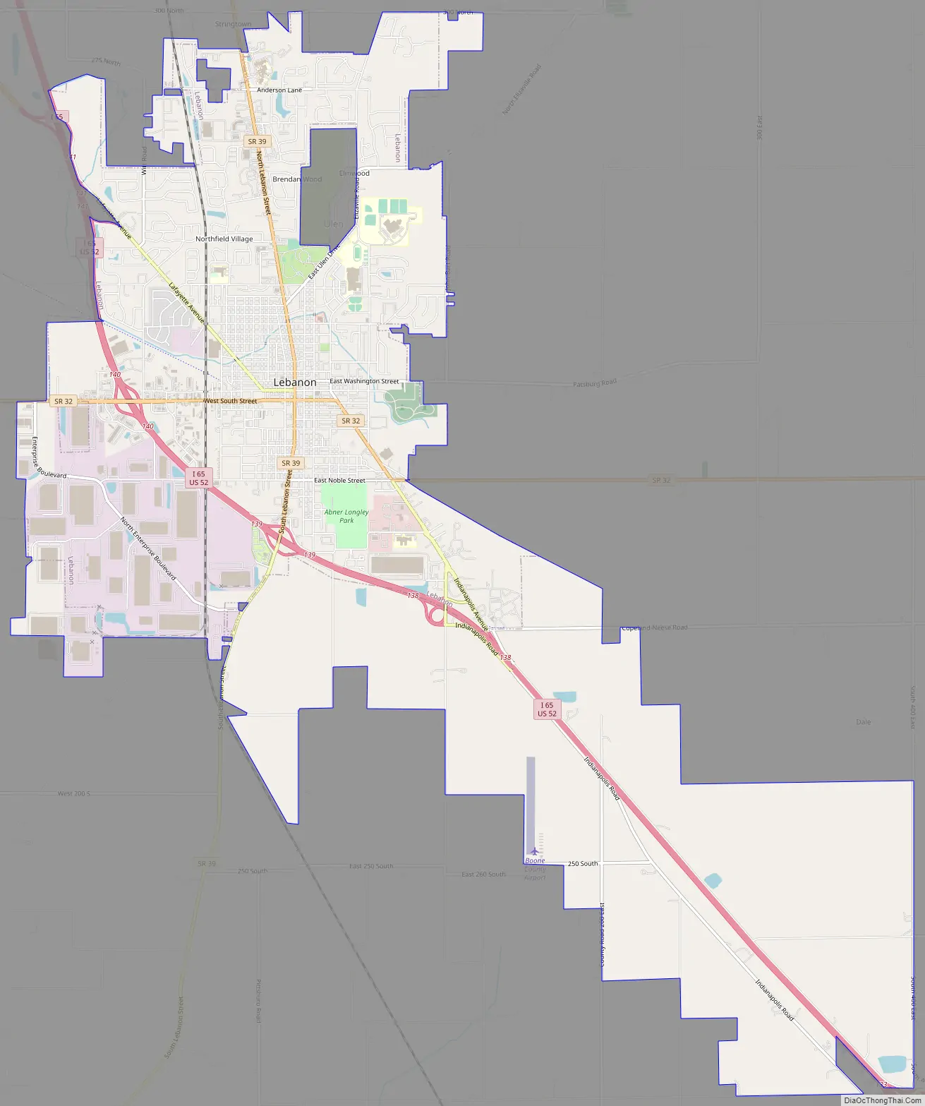
Lebanon Road Map
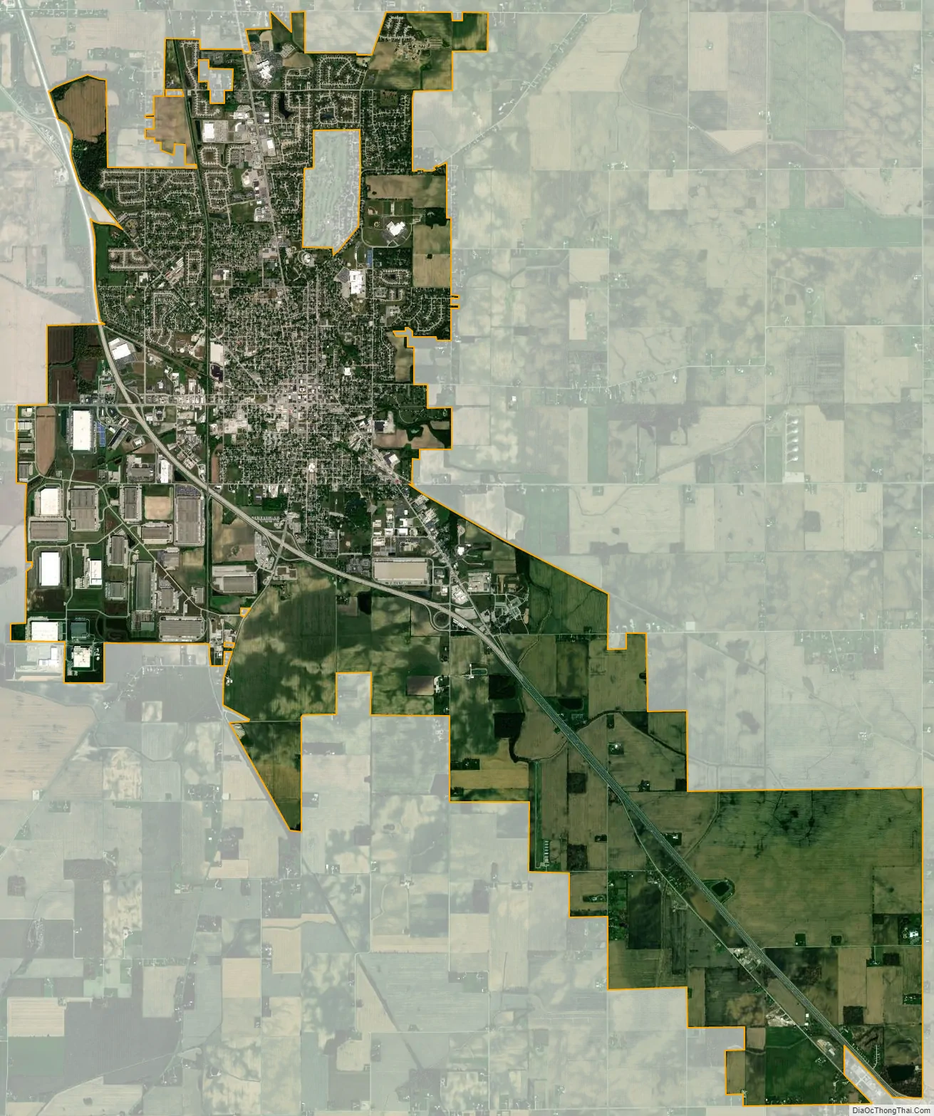
Lebanon city Satellite Map
Geography
Lebanon is located at 40°3′8″N 86°28′18″W / 40.05222°N 86.47167°W / 40.05222; -86.47167 (40.052137, -86.471570).
According to the 2010 census, Lebanon has a total area of 15.566 square miles (40.32 km), of which 15.55 square miles (40.27 km) (or 99.9%) is land and 0.016 square miles (0.04 km) (or 0.1%) is water.
See also
Map of Indiana State and its subdivision:- Adams
- Allen
- Bartholomew
- Benton
- Blackford
- Boone
- Brown
- Carroll
- Cass
- Clark
- Clay
- Clinton
- Crawford
- Daviess
- De Kalb
- Dearborn
- Decatur
- Delaware
- Dubois
- Elkhart
- Fayette
- Floyd
- Fountain
- Franklin
- Fulton
- Gibson
- Grant
- Greene
- Hamilton
- Hancock
- Harrison
- Hendricks
- Henry
- Howard
- Huntington
- Jackson
- Jasper
- Jay
- Jefferson
- Jennings
- Johnson
- Knox
- Kosciusko
- LaGrange
- Lake
- Lake Michigan
- LaPorte
- Lawrence
- Madison
- Marion
- Marshall
- Martin
- Miami
- Monroe
- Montgomery
- Morgan
- Newton
- Noble
- Ohio
- Orange
- Owen
- Parke
- Perry
- Pike
- Porter
- Posey
- Pulaski
- Putnam
- Randolph
- Ripley
- Rush
- Saint Joseph
- Scott
- Shelby
- Spencer
- Starke
- Steuben
- Sullivan
- Switzerland
- Tippecanoe
- Tipton
- Union
- Vanderburgh
- Vermillion
- Vigo
- Wabash
- Warren
- Warrick
- Washington
- Wayne
- Wells
- White
- Whitley
- Alabama
- Alaska
- Arizona
- Arkansas
- California
- Colorado
- Connecticut
- Delaware
- District of Columbia
- Florida
- Georgia
- Hawaii
- Idaho
- Illinois
- Indiana
- Iowa
- Kansas
- Kentucky
- Louisiana
- Maine
- Maryland
- Massachusetts
- Michigan
- Minnesota
- Mississippi
- Missouri
- Montana
- Nebraska
- Nevada
- New Hampshire
- New Jersey
- New Mexico
- New York
- North Carolina
- North Dakota
- Ohio
- Oklahoma
- Oregon
- Pennsylvania
- Rhode Island
- South Carolina
- South Dakota
- Tennessee
- Texas
- Utah
- Vermont
- Virginia
- Washington
- West Virginia
- Wisconsin
- Wyoming