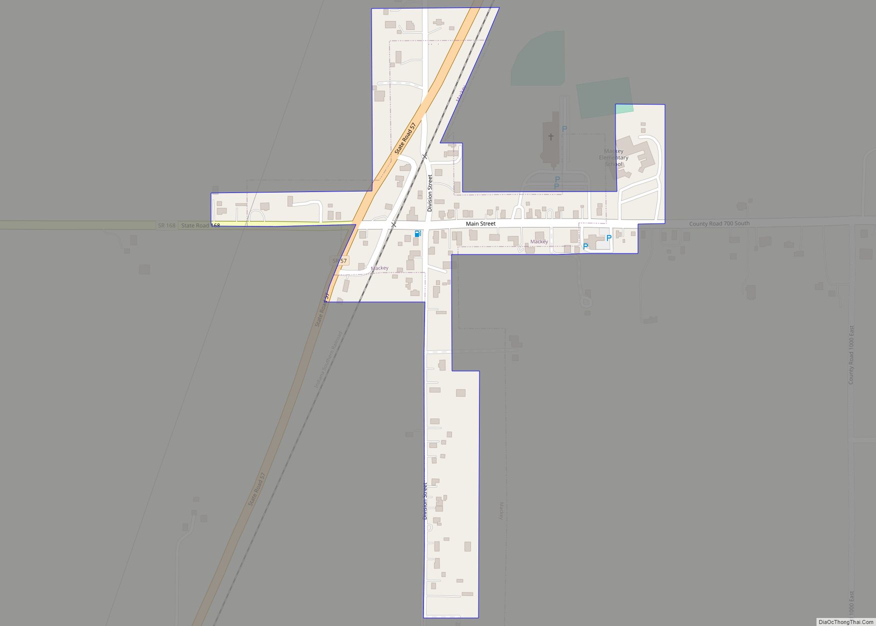
Mackey is a town in Barton Township, Gibson County, Indiana, United States. With a population of 106 at the 2010 census, Mackey is the smallest incorporated community in Gibson County and one of the smallest incorporated communities in the state. Mackey town overview: Name: Mackey town LSAD Code: 43 LSAD Description: town (suffix) State: Indiana ... Read more
Indiana Cities and Places
Marion is a city in and the county seat of Grant County, Indiana, United States, along the Mississinewa River. The population was 28,310 as of the 2020 census. It is named for Francis Marion, a brigadier general from South Carolina in the American Revolutionary War. The city is home to Indiana Wesleyan University, the largest ... Read more
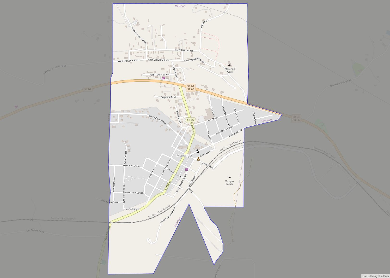
Marengo is a town in Liberty Township, Crawford County, Indiana, United States. The population was 829 at the 2020 census. One of the tourist attractions and sources of revenue for the town is Marengo Cave, a U.S. National Landmark. Originally discovered in 1883 by two schoolchildren, today it offers guided tours. Marengo town overview: Name: ... Read more
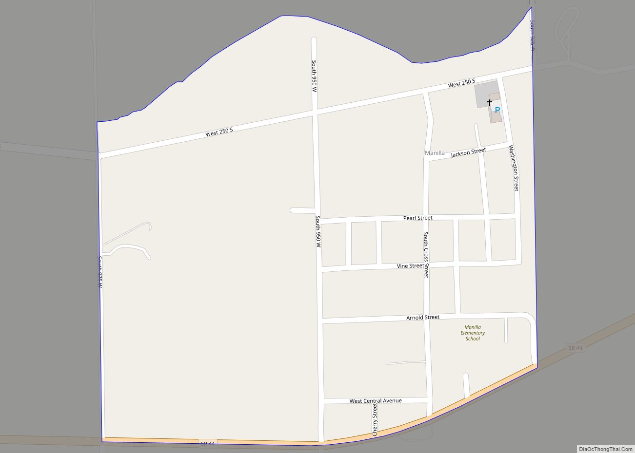
Manilla is an unincorporated census-designated place in Walker Township, Rush County, Indiana. Manilla CDP overview: Name: Manilla CDP LSAD Code: 57 LSAD Description: CDP (suffix) State: Indiana County: Rush County Elevation: 892 ft (272 m) Total Area: 0.23 sq mi (0.58 km²) Land Area: 0.23 sq mi (0.58 km²) Water Area: 0.00 sq mi (0.00 km²) Total Population: 230 Population Density: 1,017.70/sq mi (393.80/km²) ZIP code: 46150 ... Read more
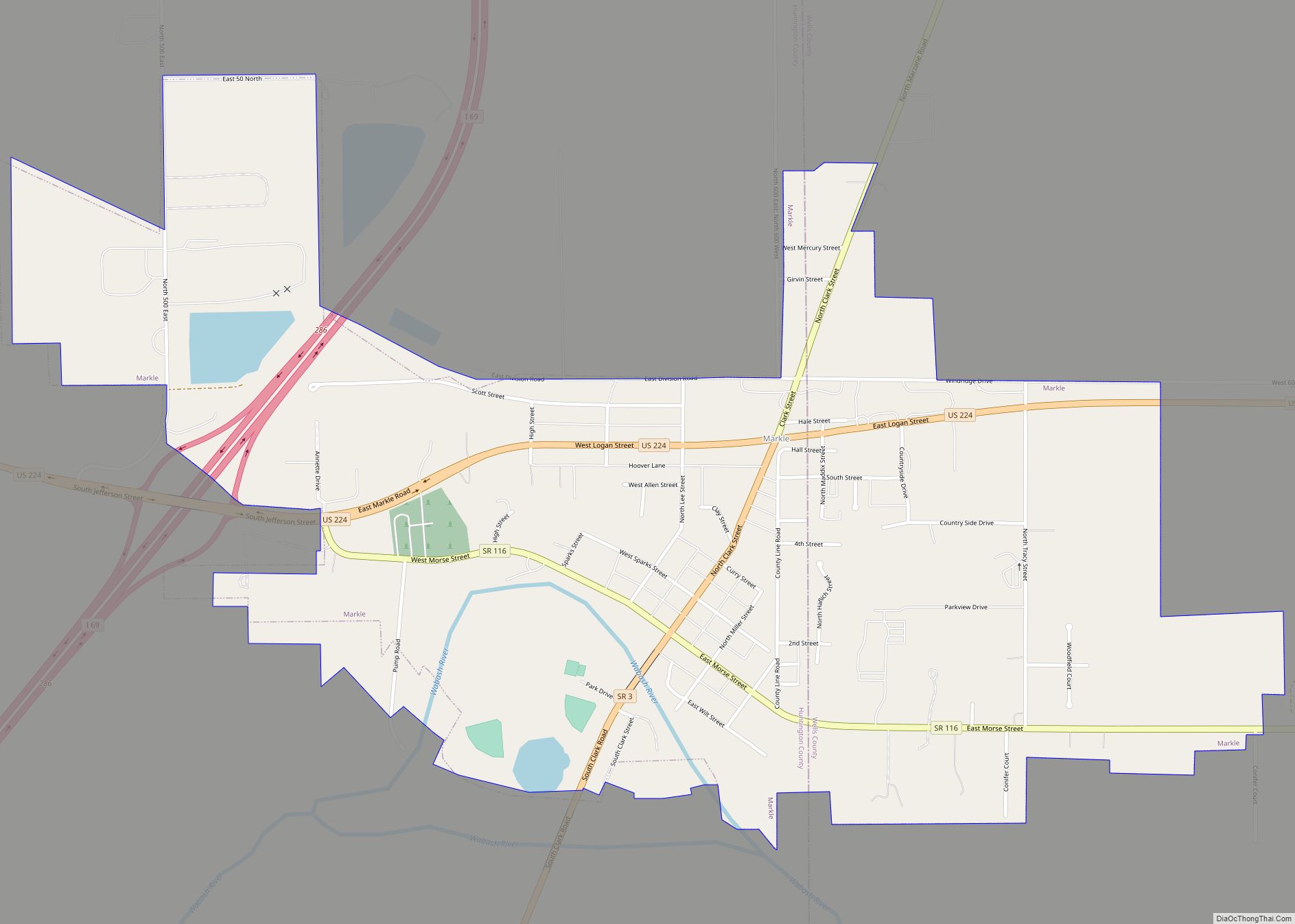
Markle is a town in Huntington and Wells counties, in the U.S. state of Indiana. The population was 1,071 at the 2020 census. It lies along Interstate 69, U.S. Route 224, State Road 116 and State Road 3. Markle town overview: Name: Markle town LSAD Code: 43 LSAD Description: town (suffix) State: Indiana County: Huntington ... Read more
Marshall is a town in Washington Township, Parke County, in the U.S. state of Indiana. As of the 2010 census, the population was 324. Marshall town overview: Name: Marshall town LSAD Code: 43 LSAD Description: town (suffix) State: Indiana County: Parke County Elevation: 702 ft (214 m) Total Area: 0.26 sq mi (0.66 km²) Land Area: 0.26 sq mi (0.66 km²) Water Area: ... Read more
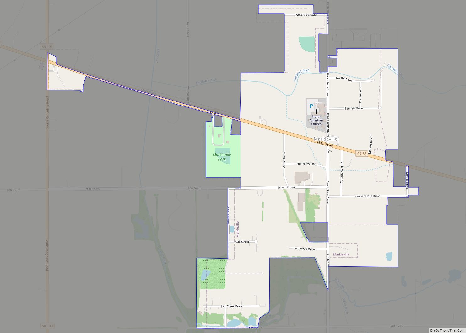
Markleville is a town in Adams Township, Madison County, Indiana, United States. It is part of the Indianapolis–Carmel–Anderson metropolitan statistical area. The population was 484 at the 2020 census. Markleville town overview: Name: Markleville town LSAD Code: 43 LSAD Description: town (suffix) State: Indiana County: Madison County Elevation: 951 ft (290 m) Total Area: 0.56 sq mi (1.44 km²) Land ... Read more
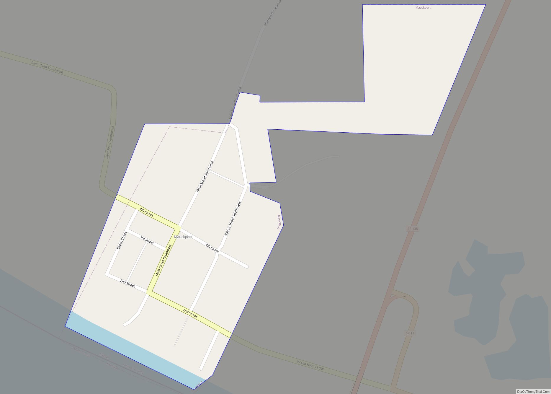
Mauckport is a town in Heth Township, Harrison County, Indiana, along the Ohio River. The population was 81 at the 2010 census. Mauckport town overview: Name: Mauckport town LSAD Code: 43 LSAD Description: town (suffix) State: Indiana County: Harrison County Elevation: 427 ft (130 m) Total Area: 0.21 sq mi (0.55 km²) Land Area: 0.20 sq mi (0.52 km²) Water Area: 0.01 sq mi (0.03 km²) ... Read more
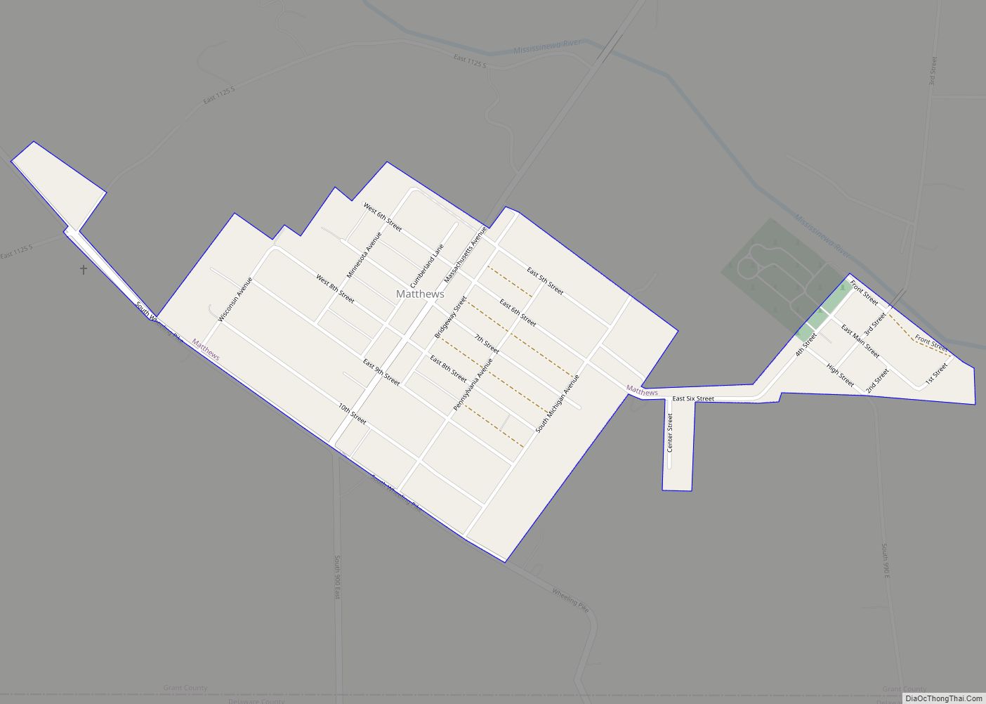
Matthews is a town in Jefferson Township, Grant County, Indiana, United States, along the Mississinewa River. The population was 596 at the 2010 census. Matthews town overview: Name: Matthews town LSAD Code: 43 LSAD Description: town (suffix) State: Indiana County: Grant County Elevation: 879 ft (268 m) Total Area: 0.35 sq mi (0.91 km²) Land Area: 0.35 sq mi (0.91 km²) Water Area: ... Read more
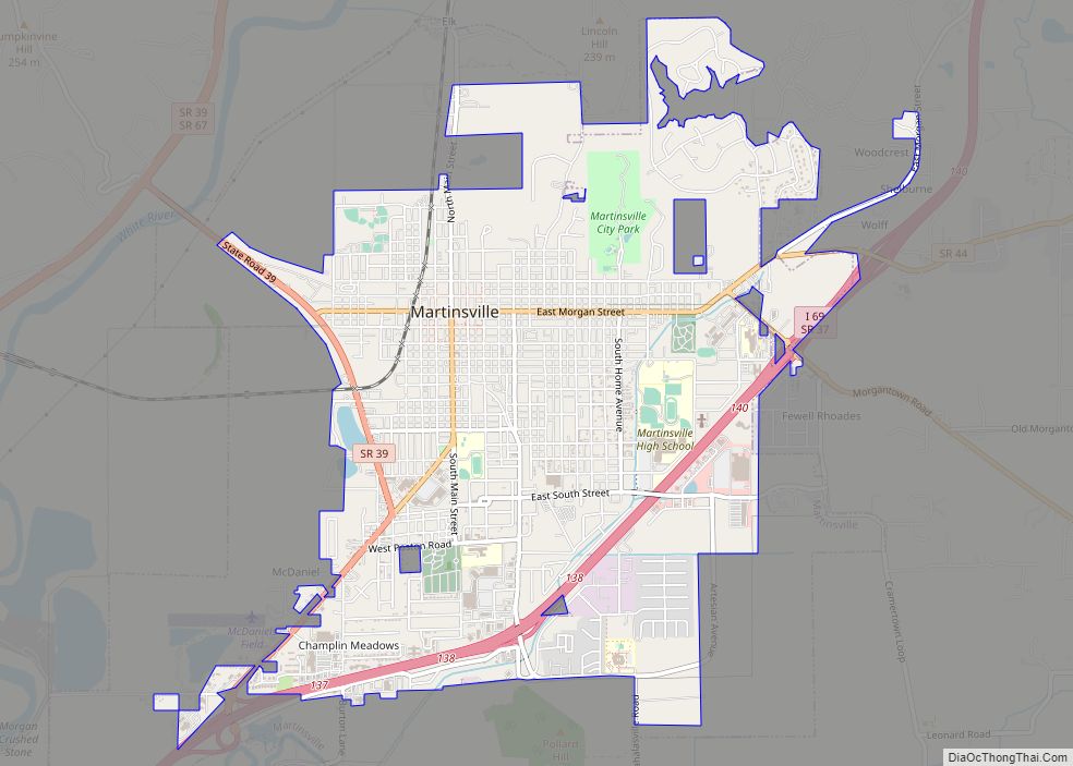
Martinsville is a city in Washington Township, Morgan County, in the U.S. state of Indiana. The population was 12,309 at the 2020 United States Census. The city is the county seat of Morgan County. Martinsville city overview: Name: Martinsville city LSAD Code: 25 LSAD Description: city (suffix) State: Indiana County: Morgan County Elevation: 604 ft (184 m) ... Read more
Medaryville is a town in White Post Township, Pulaski County, in the U.S. state of Indiana. The population was 614 at the 2010 census. Medaryville town overview: Name: Medaryville town LSAD Code: 43 LSAD Description: town (suffix) State: Indiana County: Pulaski County Elevation: 689 ft (210 m) Total Area: 0.46 sq mi (1.19 km²) Land Area: 0.46 sq mi (1.19 km²) Water Area: ... Read more
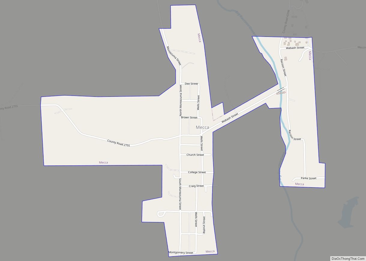
Mecca is a town in Wabash Township, Parke County, in the U.S. state of Indiana. The population was 335 at the 2010 census. Mecca town overview: Name: Mecca town LSAD Code: 43 LSAD Description: town (suffix) State: Indiana County: Parke County Elevation: 512 ft (156 m) Total Area: 0.39 sq mi (1.02 km²) Land Area: 0.39 sq mi (1.02 km²) Water Area: 0.00 sq mi ... Read more
