Markleville is a town in Adams Township, Madison County, Indiana, United States. It is part of the Indianapolis–Carmel–Anderson metropolitan statistical area. The population was 484 at the 2020 census.
| Name: | Markleville town |
|---|---|
| LSAD Code: | 43 |
| LSAD Description: | town (suffix) |
| State: | Indiana |
| County: | Madison County |
| Elevation: | 951 ft (290 m) |
| Total Area: | 0.56 sq mi (1.44 km²) |
| Land Area: | 0.56 sq mi (1.44 km²) |
| Water Area: | 0.00 sq mi (0.00 km²) |
| Total Population: | 484 |
| Population Density: | 868.94/sq mi (335.28/km²) |
| ZIP code: | 46056 |
| Area code: | 765 |
| FIPS code: | 1847178 |
| GNISfeature ID: | 0438628 |
| Website: | www.markleville.in.gov |
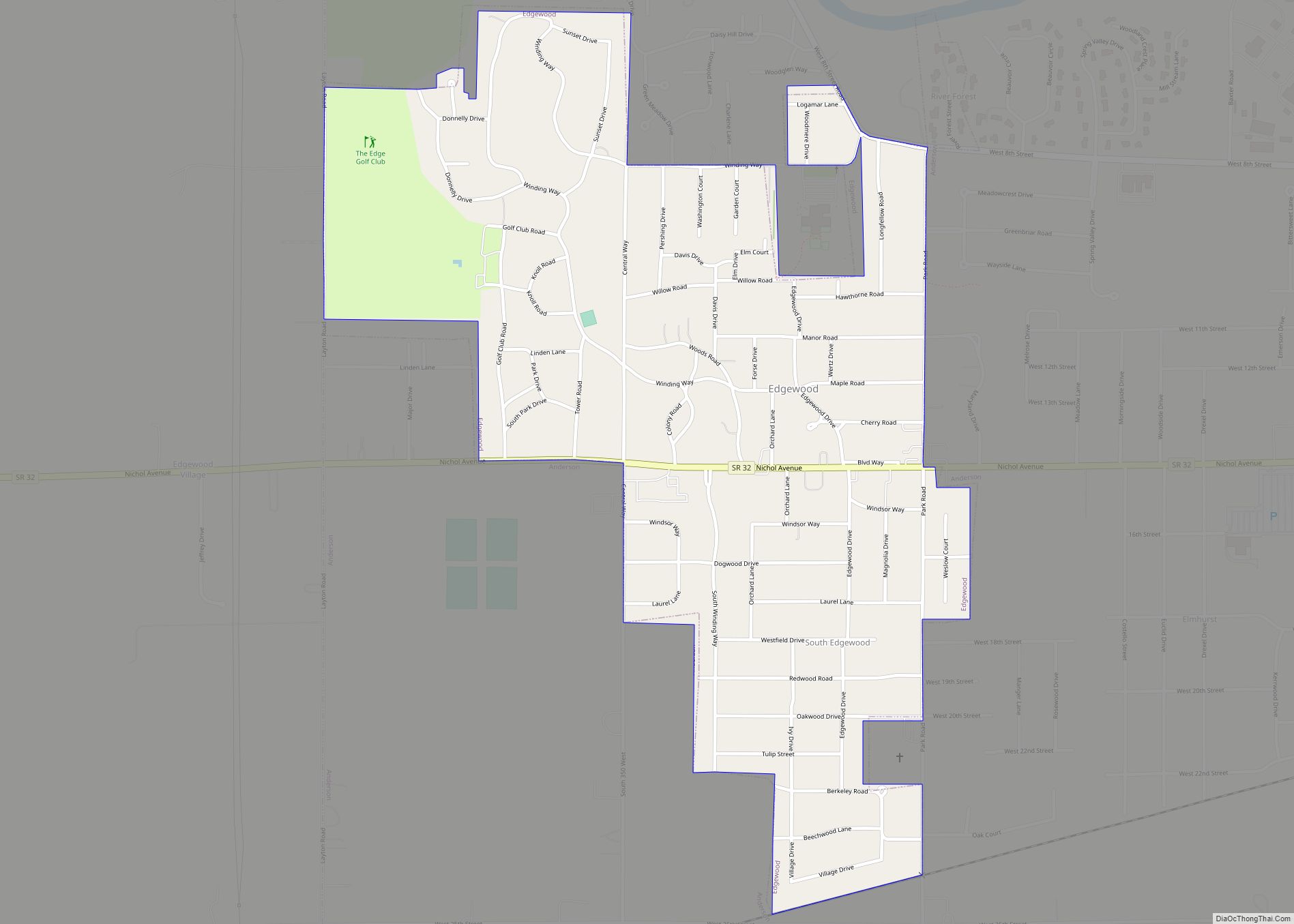
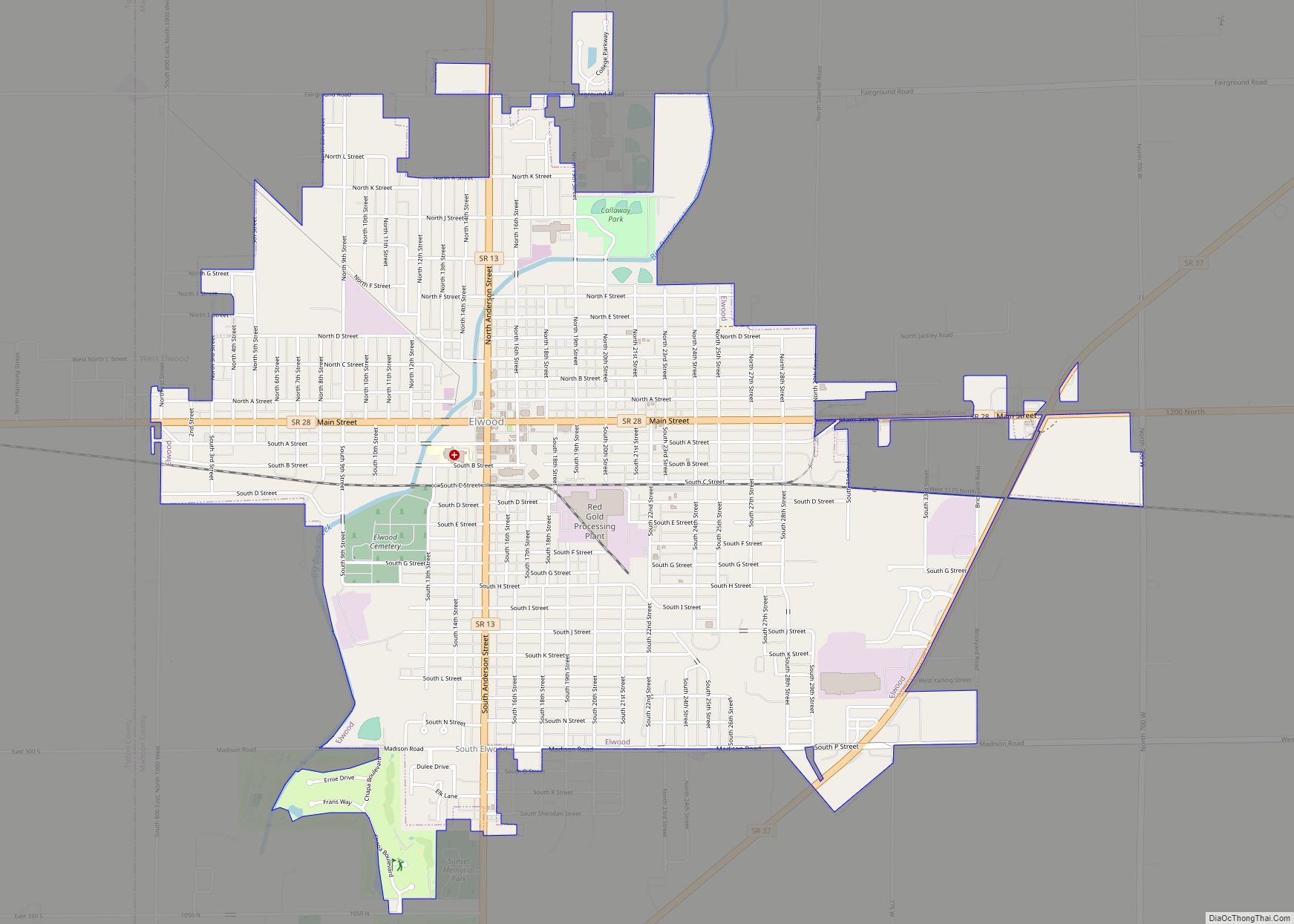
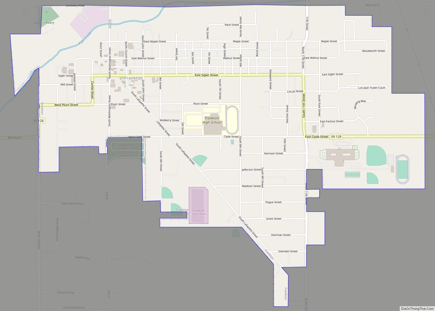
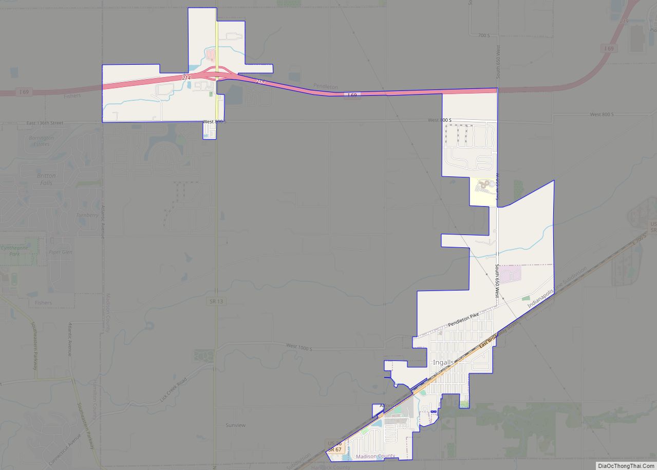
Online Interactive Map
Click on ![]() to view map in "full screen" mode.
to view map in "full screen" mode.
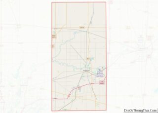
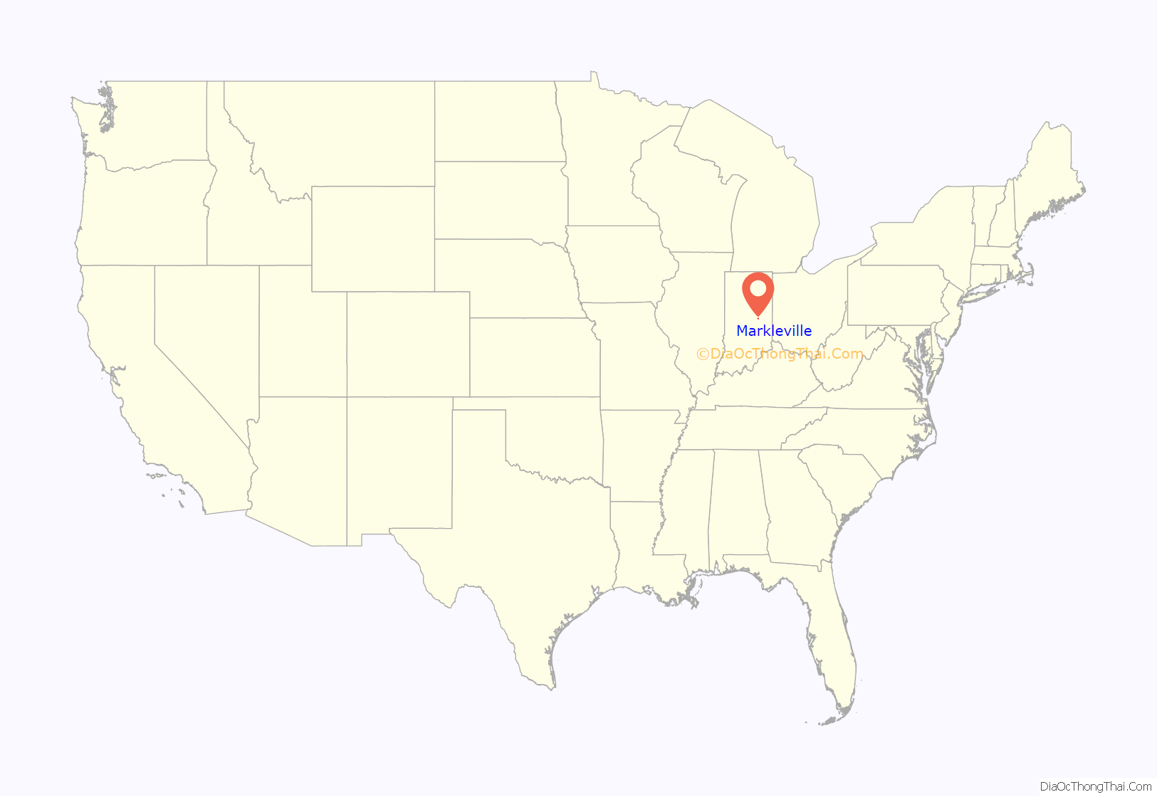
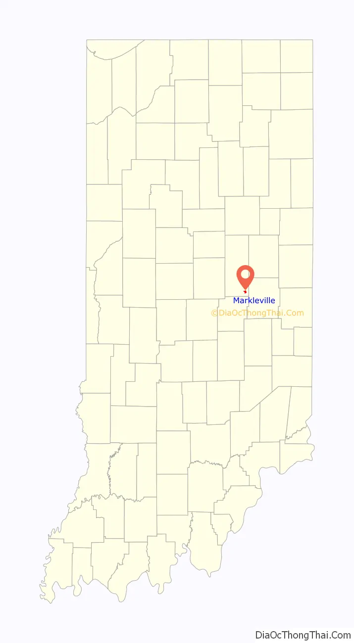
Markleville location map. Where is Markleville town?
History
Markleville was laid out by John Markle in 1852, and named after him. It was incorporated as a town in 1912.
The site of the Fall Creek Massacre, chronicled by Jessamyn West in her novel Massacre at Fall Creek, is located about a mile from Markleville. A historical marker located just east of Markleville on State Road 38 tells the story of the massacre. In 1824, four men named Hudson, Sawyer, John T. Bridge, Sr. and John Bridge, Jr. were tried and sentenced to death for the murders of eight members of a small group of Seneca Indians, including women and children.
All were publicly hanged except for 18-year-old John Bridge, Jr., who was pardoned on the gallows in person by Indiana Governor J. Brown Ray because of his age. This was the first time in U.S. history that white men were subjected to capital punishment for the murder of Native Americans.
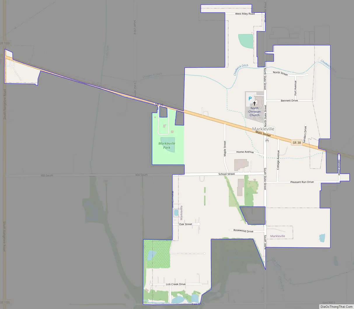
Markleville Road Map
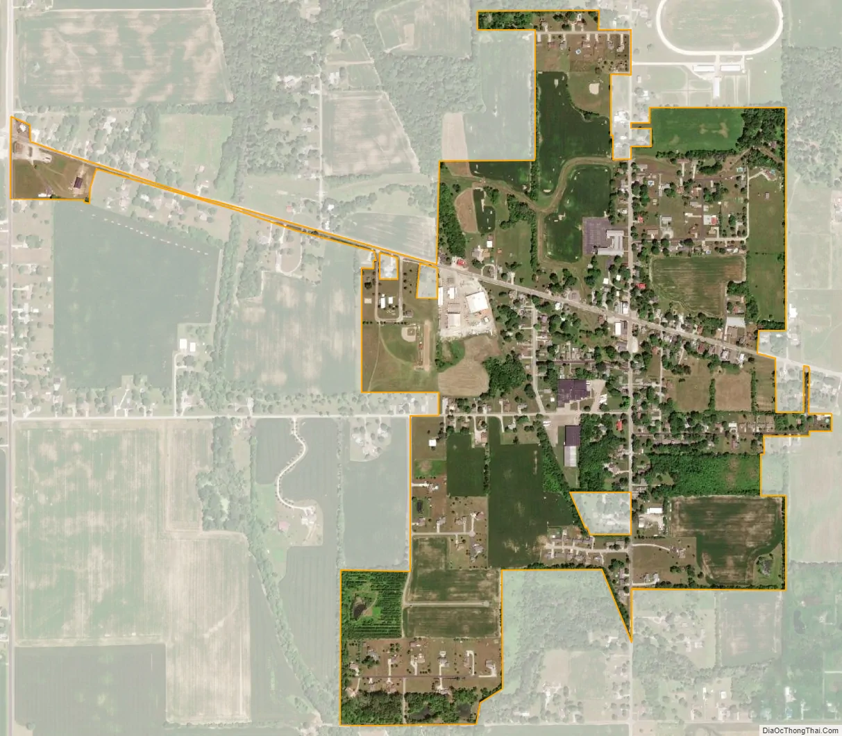
Markleville city Satellite Map
Geography
Markleville is located in southeastern Madison County at 39°58′46″N 85°37′2″W / 39.97944°N 85.61722°W / 39.97944; -85.61722 (39.979501, -85.617273). Indiana State Road 38 passes through the center of town as Main Street, leading west-northwest 7 miles (11 km) to Pendleton and east-southeast 14 miles (23 km) to New Castle. Anderson, the Madison county seat, is 10 miles (16 km) north of Markleville.
According to the U.S. Census Bureau, Markleville has a total area of 0.56 square miles (1.45 km), all land. The town is drained by tributaries of Lick Creek, which flows northward past the west side of town then turns southwest to join Fall Creek, a tributary of the White River, west of Ingalls.
See also
Map of Indiana State and its subdivision:- Adams
- Allen
- Bartholomew
- Benton
- Blackford
- Boone
- Brown
- Carroll
- Cass
- Clark
- Clay
- Clinton
- Crawford
- Daviess
- De Kalb
- Dearborn
- Decatur
- Delaware
- Dubois
- Elkhart
- Fayette
- Floyd
- Fountain
- Franklin
- Fulton
- Gibson
- Grant
- Greene
- Hamilton
- Hancock
- Harrison
- Hendricks
- Henry
- Howard
- Huntington
- Jackson
- Jasper
- Jay
- Jefferson
- Jennings
- Johnson
- Knox
- Kosciusko
- LaGrange
- Lake
- Lake Michigan
- LaPorte
- Lawrence
- Madison
- Marion
- Marshall
- Martin
- Miami
- Monroe
- Montgomery
- Morgan
- Newton
- Noble
- Ohio
- Orange
- Owen
- Parke
- Perry
- Pike
- Porter
- Posey
- Pulaski
- Putnam
- Randolph
- Ripley
- Rush
- Saint Joseph
- Scott
- Shelby
- Spencer
- Starke
- Steuben
- Sullivan
- Switzerland
- Tippecanoe
- Tipton
- Union
- Vanderburgh
- Vermillion
- Vigo
- Wabash
- Warren
- Warrick
- Washington
- Wayne
- Wells
- White
- Whitley
- Alabama
- Alaska
- Arizona
- Arkansas
- California
- Colorado
- Connecticut
- Delaware
- District of Columbia
- Florida
- Georgia
- Hawaii
- Idaho
- Illinois
- Indiana
- Iowa
- Kansas
- Kentucky
- Louisiana
- Maine
- Maryland
- Massachusetts
- Michigan
- Minnesota
- Mississippi
- Missouri
- Montana
- Nebraska
- Nevada
- New Hampshire
- New Jersey
- New Mexico
- New York
- North Carolina
- North Dakota
- Ohio
- Oklahoma
- Oregon
- Pennsylvania
- Rhode Island
- South Carolina
- South Dakota
- Tennessee
- Texas
- Utah
- Vermont
- Virginia
- Washington
- West Virginia
- Wisconsin
- Wyoming