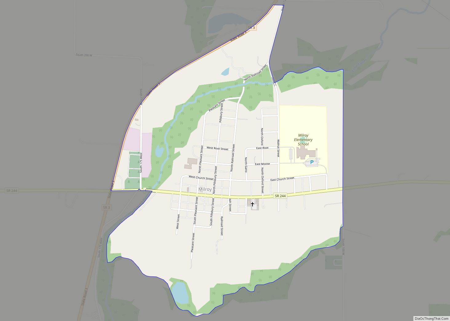
Milroy is a census-designated place in Anderson Township, in the southern part of Rush County, in the U.S. state of Indiana. Milroy CDP overview: Name: Milroy CDP LSAD Code: 57 LSAD Description: CDP (suffix) State: Indiana County: Rush County Elevation: 965 ft (294 m) Total Area: 0.66 sq mi (1.72 km²) Land Area: 0.66 sq mi (1.72 km²) Water Area: 0.00 sq mi (0.00 km²) Total ... Read more
Indiana Cities and Places
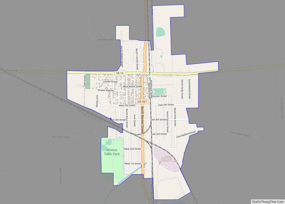
Monon is a town in Monon Township, White County, in the U.S. state of Indiana. The population was 1,777 at the 2010 census. Monon town overview: Name: Monon town LSAD Code: 43 LSAD Description: town (suffix) State: Indiana County: White County Elevation: 679 ft (207 m) Total Area: 0.89 sq mi (2.29 km²) Land Area: 0.89 sq mi (2.29 km²) Water Area: 0.00 sq mi ... Read more
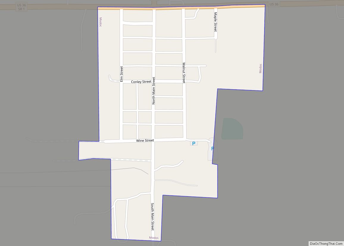
Modoc is a town in Union Township, Randolph County, in the U.S. state of Indiana. The population was 196 at the 2010 census. Modoc town overview: Name: Modoc town LSAD Code: 43 LSAD Description: town (suffix) State: Indiana County: Randolph County Founded: 1883 Elevation: 1,175 ft (358 m) Total Area: 0.10 sq mi (0.27 km²) Land Area: 0.10 sq mi (0.27 km²) Water ... Read more
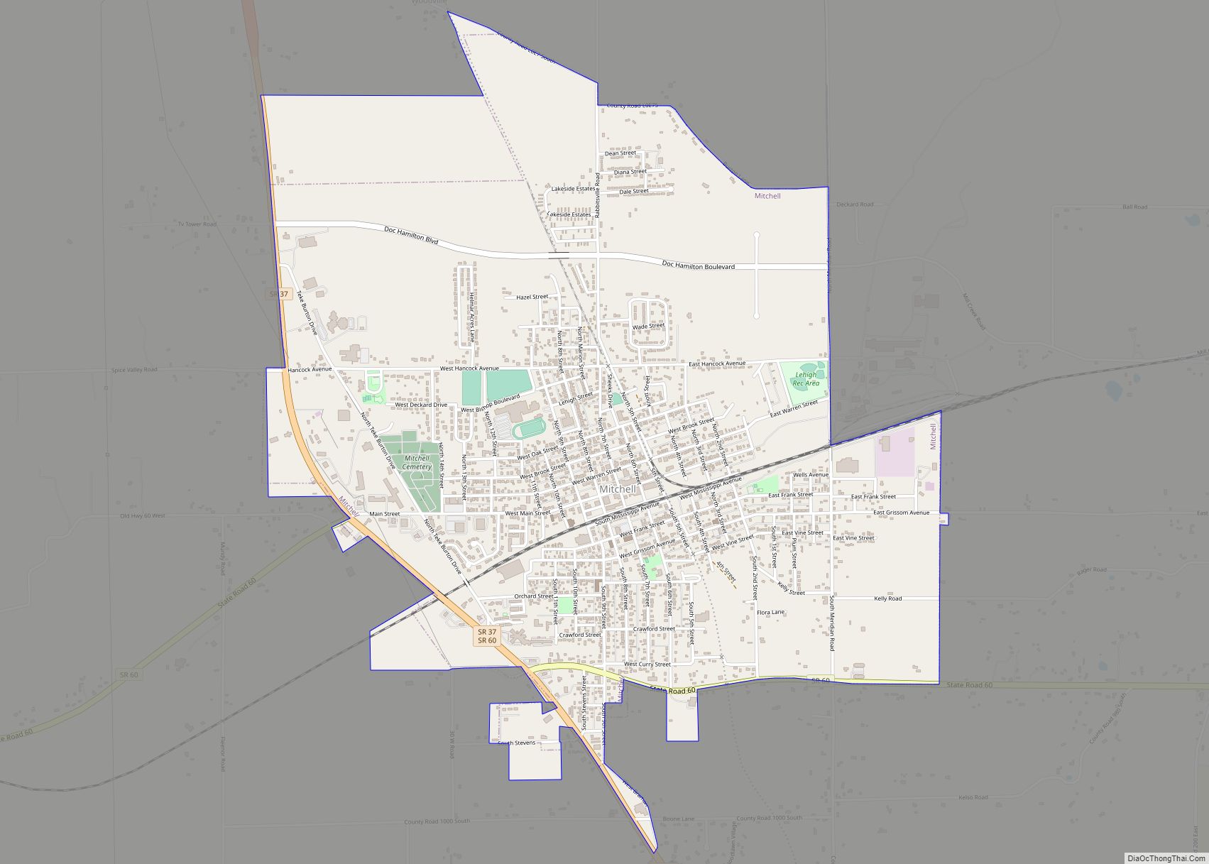
Mitchell is a city in Marion Township, Lawrence County, Indiana, United States. The population was 4,350 at the 2010 census. Mitchell city overview: Name: Mitchell city LSAD Code: 25 LSAD Description: city (suffix) State: Indiana County: Lawrence County Elevation: 682 ft (208 m) Total Area: 3.60 sq mi (9.32 km²) Land Area: 3.59 sq mi (9.31 km²) Water Area: 0.01 sq mi (0.01 km²) 0.30% Total ... Read more
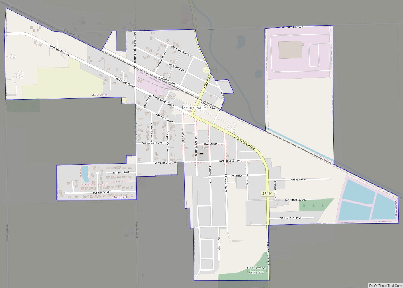
Monroeville is a town in Monroe Township, Allen County, Indiana, United States. The population was 1,235 as of the 2010 census. Monroeville town overview: Name: Monroeville town LSAD Code: 43 LSAD Description: town (suffix) State: Indiana County: Allen County Elevation: 787 ft (240 m) Total Area: 0.79 sq mi (2.05 km²) Land Area: 0.79 sq mi (2.05 km²) Water Area: 0.00 sq mi (0.00 km²) Total ... Read more
Monroe is a town in Washington and Monroe townships, Adams County, Indiana, United States. The population of the town was 945 residents at the 2019 census. Adams Central Community Schools is located in Monroe. Monroe town overview: Name: Monroe town LSAD Code: 43 LSAD Description: town (suffix) State: Indiana County: Adams County Elevation: 833 ft (254 m) ... Read more
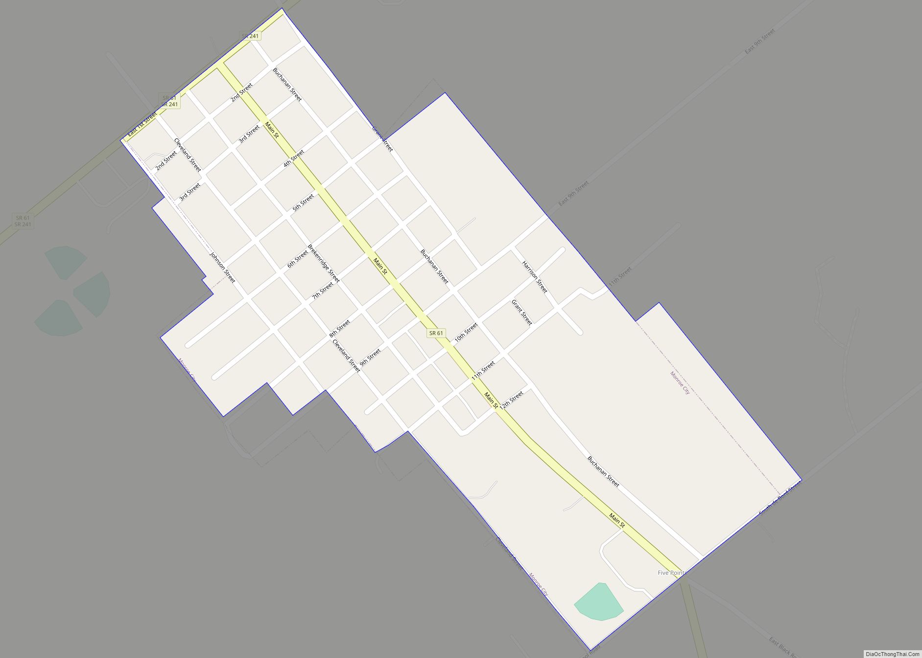
Monroe City is a town in Harrison Township, Knox County, Indiana, United States. The population was 545 at the 2010 census. Monroe City was named for one of its founders, Monroe Alton. Monroe City town overview: Name: Monroe City town LSAD Code: 43 LSAD Description: town (suffix) State: Indiana County: Knox County Elevation: 522 ft (159 m) ... Read more
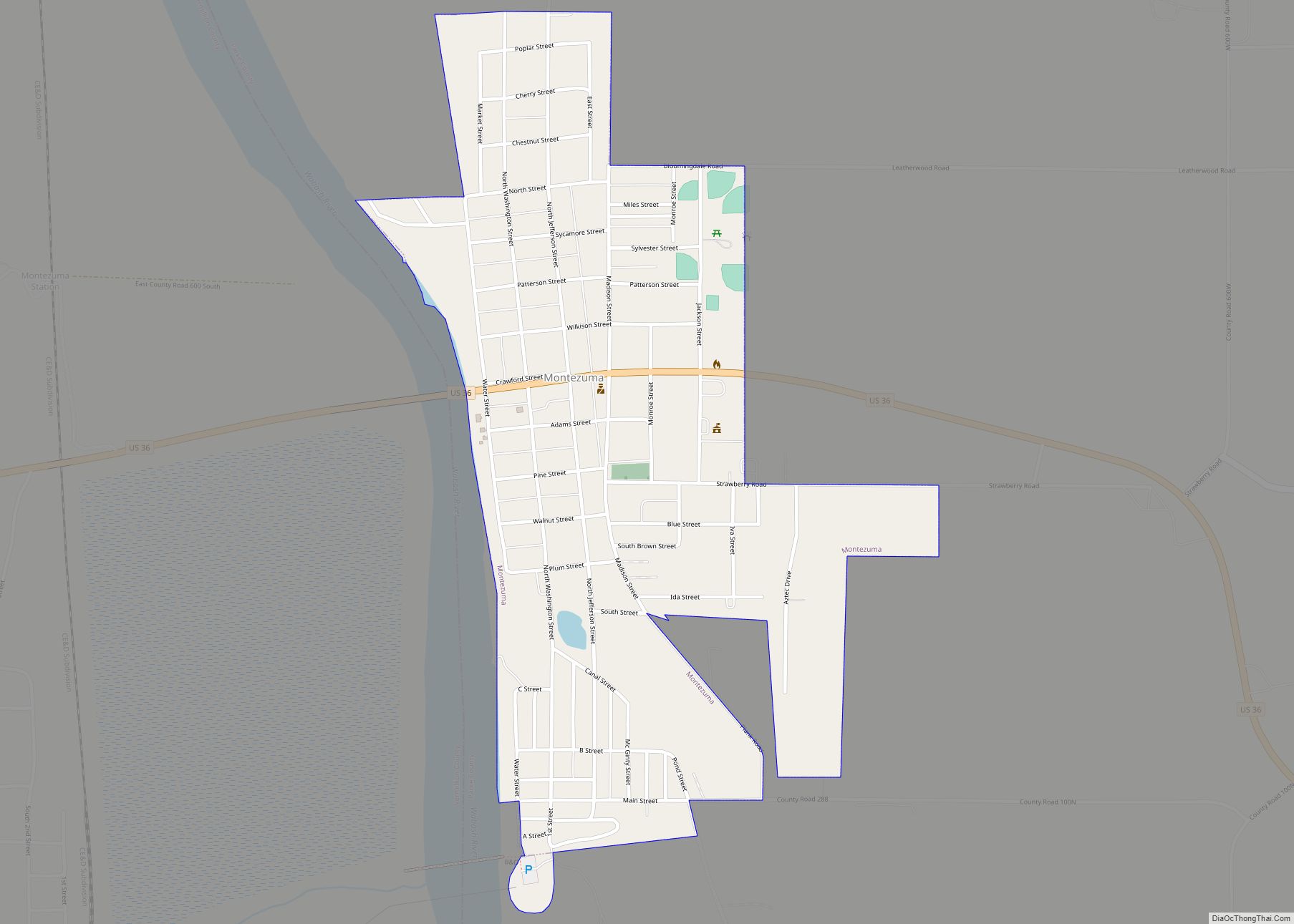
Montezuma is a town in Reserve Township, Parke County, in the U.S. state of Indiana. The population was 1,022 at the 2010 census. It is located approximately 66 miles west of the state capital Indianapolis. Montezuma town overview: Name: Montezuma town LSAD Code: 43 LSAD Description: town (suffix) State: Indiana County: Parke County Elevation: 505 ft ... Read more
Monterey is a town in Tippecanoe Township, Pulaski County, in the U.S. state of Indiana. The population was 218 at the 2010 census. Monterey town overview: Name: Monterey town LSAD Code: 43 LSAD Description: town (suffix) State: Indiana County: Pulaski County Elevation: 725 ft (221 m) Total Area: 0.18 sq mi (0.47 km²) Land Area: 0.18 sq mi (0.47 km²) Water Area: 0.00 sq mi ... Read more
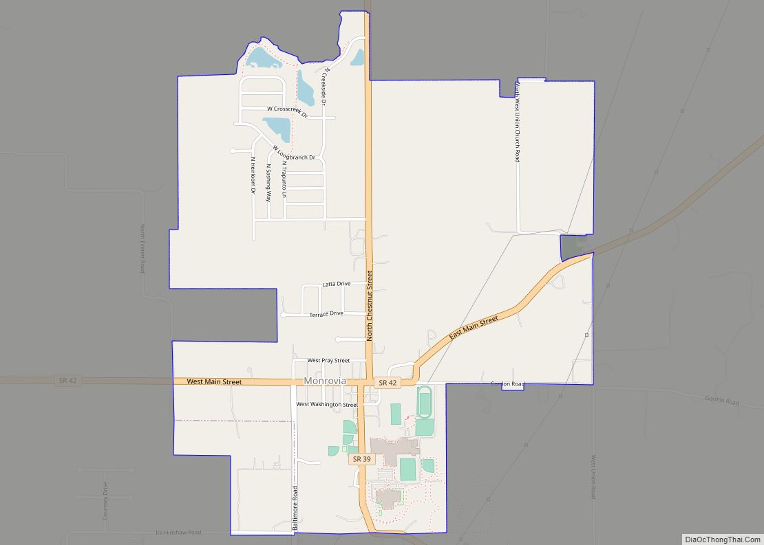
Monrovia is a town in Monroe Township, Morgan County, in the U.S. state of Indiana. The population was 1,643 at the 2020 census, up from 1,063 in 2010. Monrovia town overview: Name: Monrovia town LSAD Code: 43 LSAD Description: town (suffix) State: Indiana County: Morgan County Elevation: 804 ft (245 m) Total Area: 1.80 sq mi (4.65 km²) Land Area: ... Read more
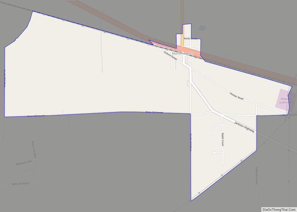
Montmorenci is an unincorporated census-designated place in Shelby Township, Tippecanoe County, Indiana. Older maps sometimes spell the name Montmorency or Montmorencie. It is part of the Lafayette, Indiana Metropolitan Statistical Area. Montmorenci CDP overview: Name: Montmorenci CDP LSAD Code: 57 LSAD Description: CDP (suffix) State: Indiana County: Tippecanoe County Elevation: 699 ft (213 m) Total Area: 1.59 sq mi ... Read more
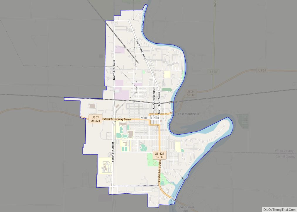
Monticello (/ˌmɒntɪˈsɛloʊ/ (listen) MON-tiss-EL-oh) is a city in Union Township, White County, Indiana, United States. The city is the county seat of White County. The population was 5,508 at the 2020 census. Monticello is known as a tourist destination in north-central Indiana and is home to the Indiana Beach amusement park on Lake Shafer, and ... Read more
