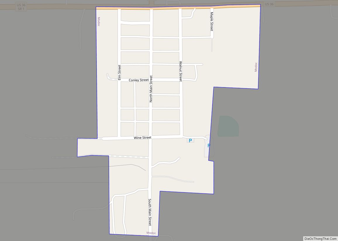
Modoc is a town in Union Township, Randolph County, in the U.S. state of Indiana. The population was 196 at the 2010 census.
| Name: | Modoc town |
|---|---|
| LSAD Code: | 43 |
| LSAD Description: | town (suffix) |
| State: | Indiana |
| County: | Randolph County |
| Founded: | 1883 |
| Elevation: | 1,175 ft (358 m) |
| Total Area: | 0.10 sq mi (0.27 km²) |
| Land Area: | 0.10 sq mi (0.27 km²) |
| Water Area: | 0.00 sq mi (0.00 km²) |
| Total Population: | 157 |
| Population Density: | 1,524.27/sq mi (586.67/km²) |
| ZIP code: | 47358 |
| Area code: | 765 |
| FIPS code: | 1850058 |
| GNISfeature ID: | 439307 |
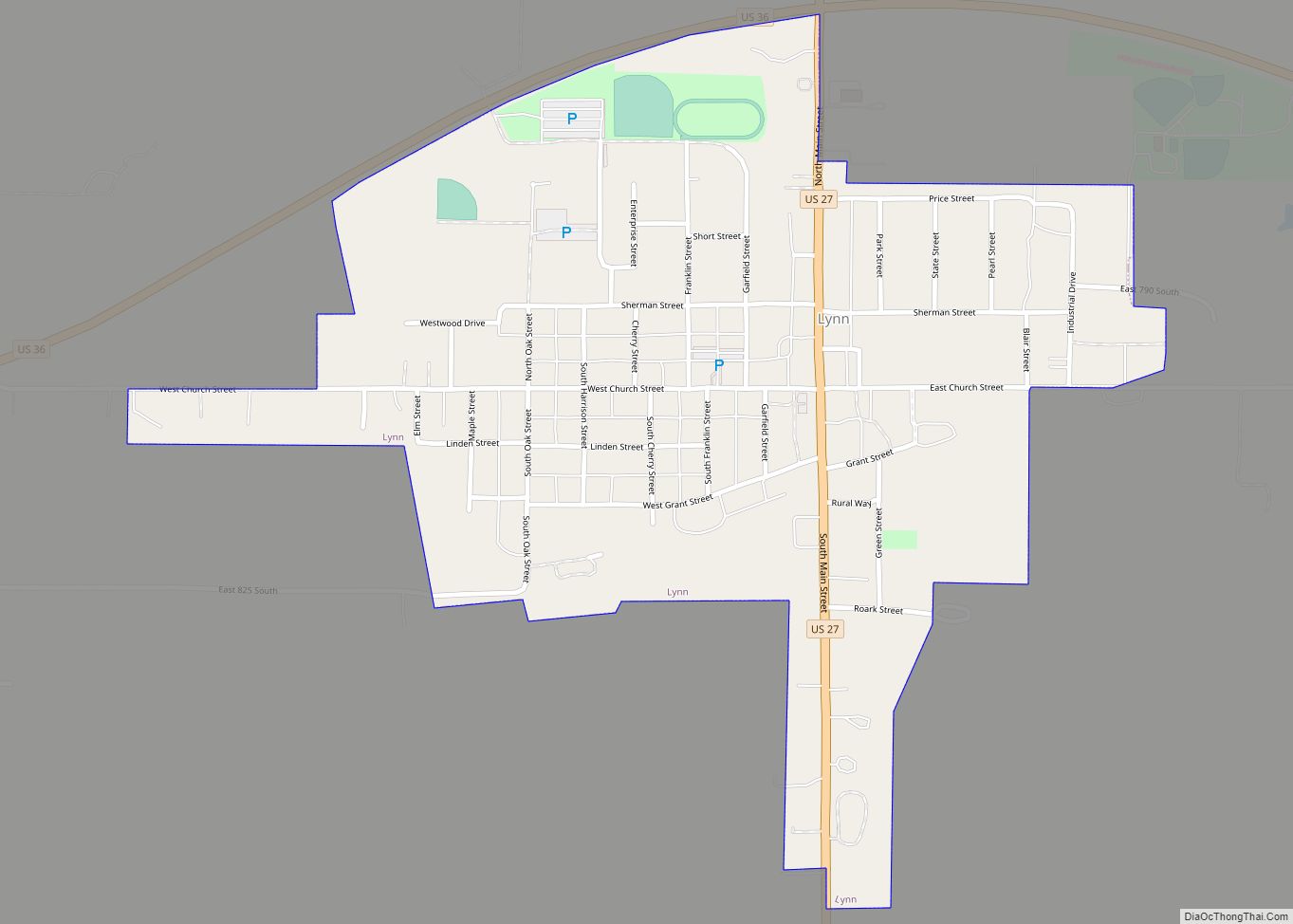
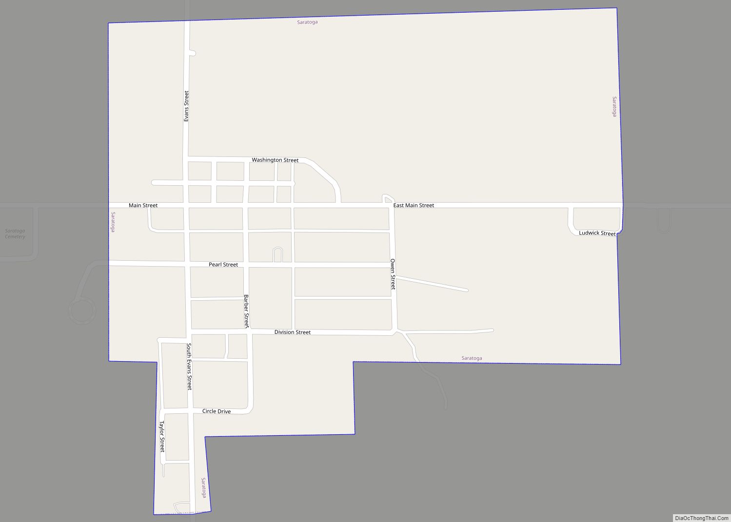
Online Interactive Map
Click on ![]() to view map in "full screen" mode.
to view map in "full screen" mode.
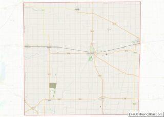
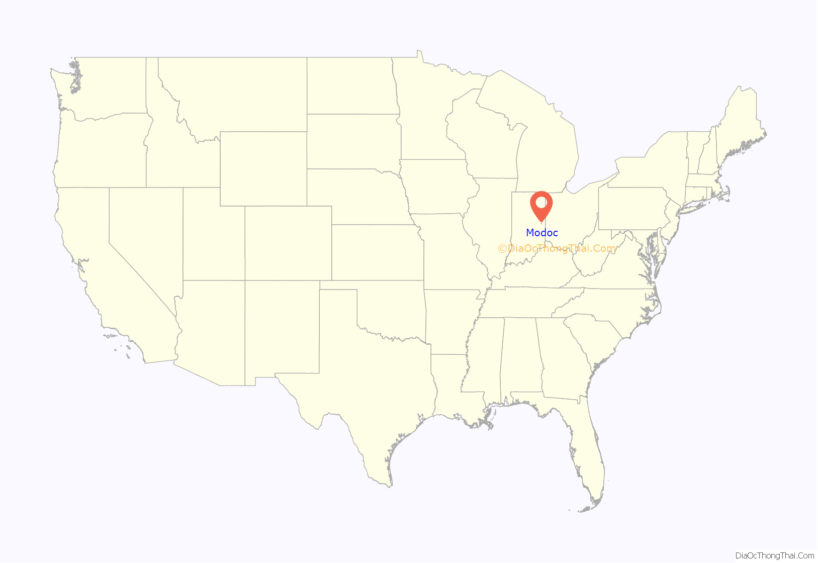
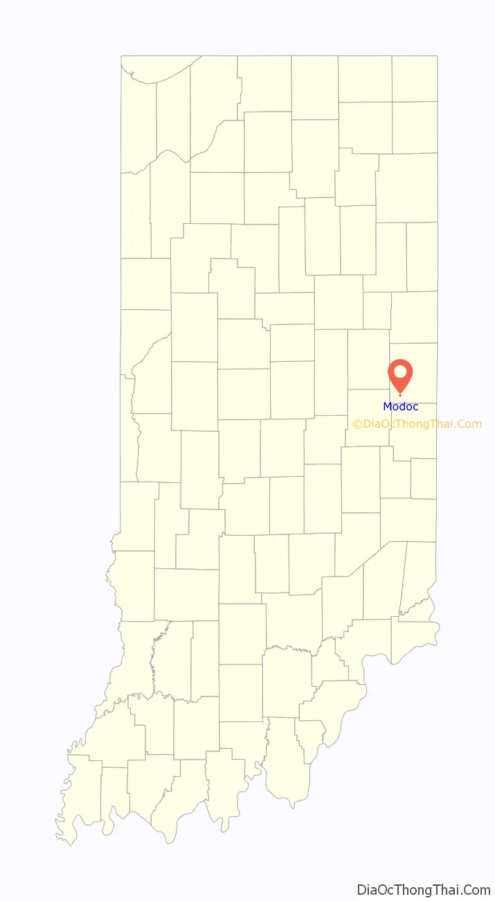
Modoc location map. Where is Modoc town?
History
There are several legends to how the town of Modoc got its name. One of them said that a man travelling on the train threw out a cigar box containing the name Modoc, and that Henry Conley, one of the first settlers of the town, picked it up and suggested to bystanders that it would be a good name for the town. Another theory is that Modoc was named after the Modoc people who were traditionally located in northern California. They became noted for their resistance to the US Army during the Modoc War, ending in 1873.
A post office has been in operation at Modoc since 1883.
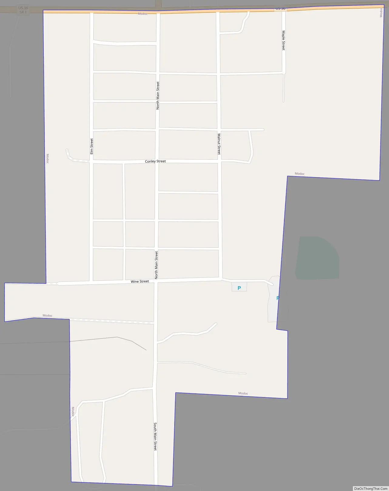
Modoc Road Map
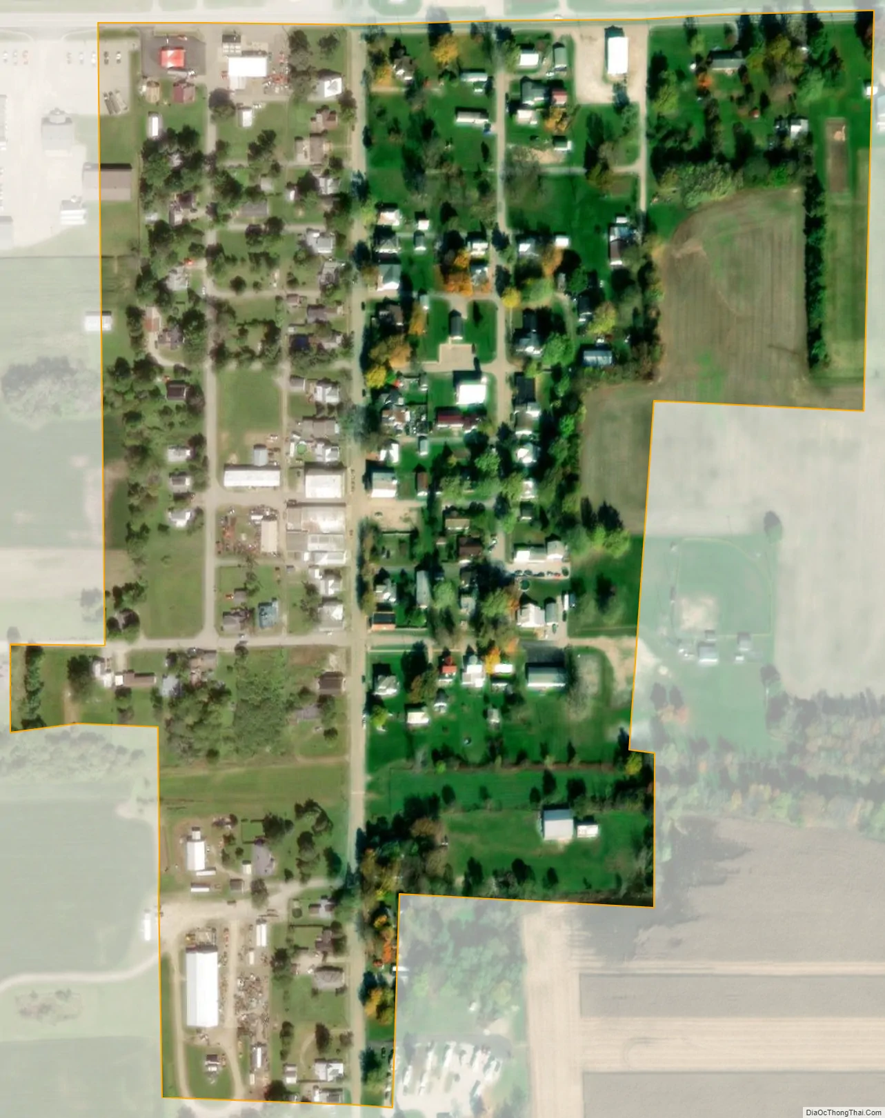
Modoc city Satellite Map
Geography
Modoc is located at 40°2′47″N 85°7′34″W / 40.04639°N 85.12611°W / 40.04639; -85.12611 (40.046323, -85.126125). It is about 25 miles southeast of Muncie, Indiana, and is about 25 miles northwest of Richmond, Indiana and 60 miles from the cities of Indianapolis, Indiana, Dayton, Ohio, and Cincinnati.
According to the 2010 census, Modoc has a total area of 0.1 square miles (0.26 km), all land.
See also
Map of Indiana State and its subdivision:- Adams
- Allen
- Bartholomew
- Benton
- Blackford
- Boone
- Brown
- Carroll
- Cass
- Clark
- Clay
- Clinton
- Crawford
- Daviess
- De Kalb
- Dearborn
- Decatur
- Delaware
- Dubois
- Elkhart
- Fayette
- Floyd
- Fountain
- Franklin
- Fulton
- Gibson
- Grant
- Greene
- Hamilton
- Hancock
- Harrison
- Hendricks
- Henry
- Howard
- Huntington
- Jackson
- Jasper
- Jay
- Jefferson
- Jennings
- Johnson
- Knox
- Kosciusko
- LaGrange
- Lake
- Lake Michigan
- LaPorte
- Lawrence
- Madison
- Marion
- Marshall
- Martin
- Miami
- Monroe
- Montgomery
- Morgan
- Newton
- Noble
- Ohio
- Orange
- Owen
- Parke
- Perry
- Pike
- Porter
- Posey
- Pulaski
- Putnam
- Randolph
- Ripley
- Rush
- Saint Joseph
- Scott
- Shelby
- Spencer
- Starke
- Steuben
- Sullivan
- Switzerland
- Tippecanoe
- Tipton
- Union
- Vanderburgh
- Vermillion
- Vigo
- Wabash
- Warren
- Warrick
- Washington
- Wayne
- Wells
- White
- Whitley
- Alabama
- Alaska
- Arizona
- Arkansas
- California
- Colorado
- Connecticut
- Delaware
- District of Columbia
- Florida
- Georgia
- Hawaii
- Idaho
- Illinois
- Indiana
- Iowa
- Kansas
- Kentucky
- Louisiana
- Maine
- Maryland
- Massachusetts
- Michigan
- Minnesota
- Mississippi
- Missouri
- Montana
- Nebraska
- Nevada
- New Hampshire
- New Jersey
- New Mexico
- New York
- North Carolina
- North Dakota
- Ohio
- Oklahoma
- Oregon
- Pennsylvania
- Rhode Island
- South Carolina
- South Dakota
- Tennessee
- Texas
- Utah
- Vermont
- Virginia
- Washington
- West Virginia
- Wisconsin
- Wyoming