Monon is a town in Monon Township, White County, in the U.S. state of Indiana. The population was 1,777 at the 2010 census.
| Name: | Monon town |
|---|---|
| LSAD Code: | 43 |
| LSAD Description: | town (suffix) |
| State: | Indiana |
| County: | White County |
| Elevation: | 679 ft (207 m) |
| Total Area: | 0.89 sq mi (2.29 km²) |
| Land Area: | 0.89 sq mi (2.29 km²) |
| Water Area: | 0.00 sq mi (0.00 km²) |
| Total Population: | 1,919 |
| Population Density: | 2,168.36/sq mi (836.99/km²) |
| ZIP code: | 47959 |
| Area code: | 219 |
| FIPS code: | 1850148 |
| GNISfeature ID: | 2396770 |
| Website: | townofmonon.com |
Online Interactive Map
Click on ![]() to view map in "full screen" mode.
to view map in "full screen" mode.
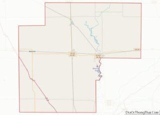
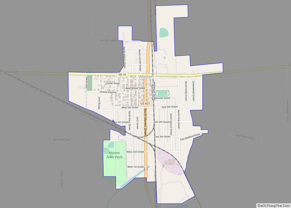
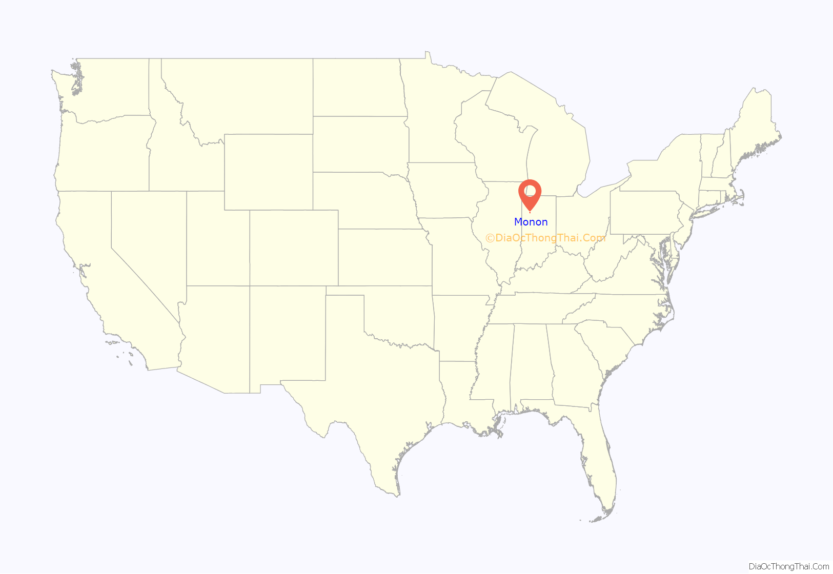
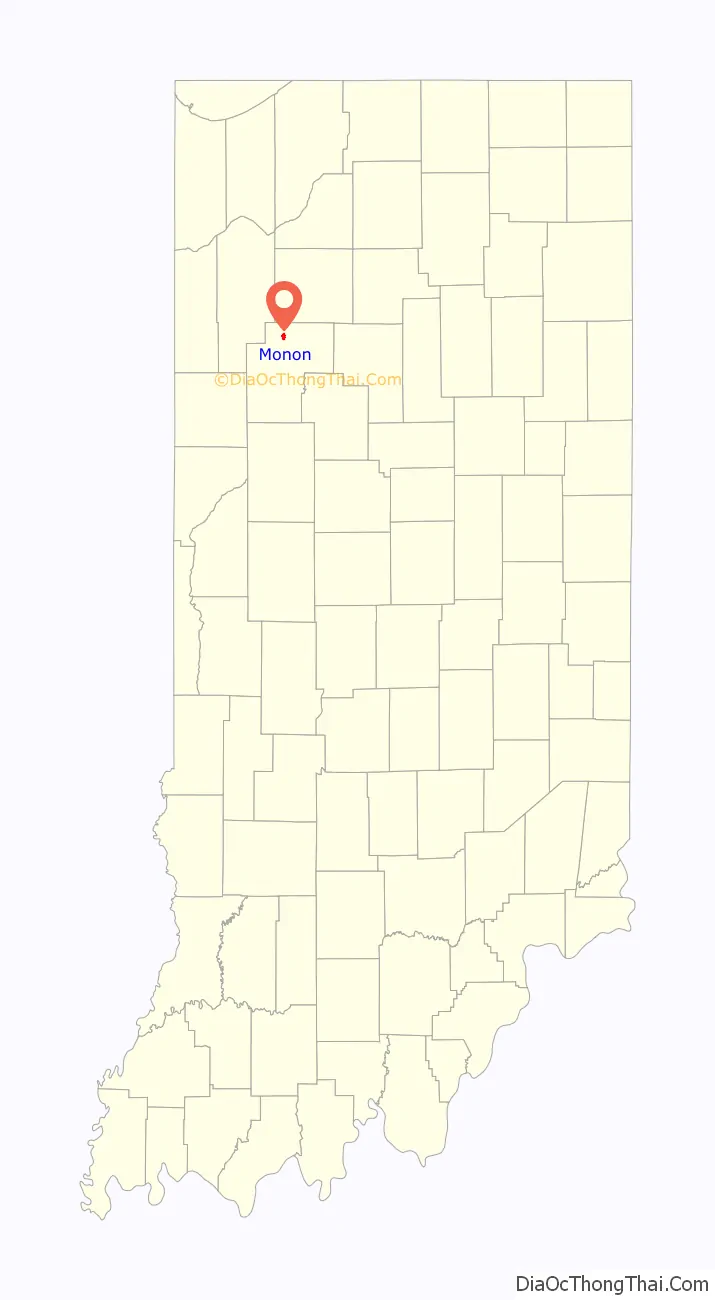
Monon location map. Where is Monon town?
History
The town of Monon was platted by James Brooks in 1853 as “New Bradford”. This act by the president of the New Albany and Salem Railroad (predecessor of the Monon Railroad) foretold the story of the town. The town would grow as the train company prospered, but once “The Monon” declined, so would the town’s economy.
The town’s name is derived from the names of two creeks nearby, the Big Monon and the Little Monon. The spelling of the name of the creeks was formerly Monong, a Potawatomi word which one authority says meant “swift-running”. In the 1840s, the town’s name was used as a nickname for the railroad company, and in 1856 the company formally adopted it as its corporate name. The first post office was established in 1838 under the name Monon, and when the town was incorporated in 1879, it legally adopted the post office’s name as the town’s name.
The town of Monon is situated on an important junction of different branches of the Monon lines. The northern division came into Monon and turned ninety degrees heading south to Lafayette and Louisville, Kentucky. Another line comes from Indianapolis and turned east. Another line headed north to Michigan City.
In its heyday, the Monon Railroad had two train yards in Monon. The main yard was 11 tracks wide with a capacity for 270 cars. The South Yard was narrower, 5 tracks wide, but longer and had a 278-car capacity.
There are no longer passenger train services, as has the line to Indianapolis and most of the line to Michigan City was closed. The only trains through Monon now are a CSX Transportation line from Maynard, Indiana to Lafayette and another on a portion of the old Michigan City line.
The Monon post office has been in operation since 1849.
The Monon Commercial Historic District was listed on the National Register of Historic Places in 2000.
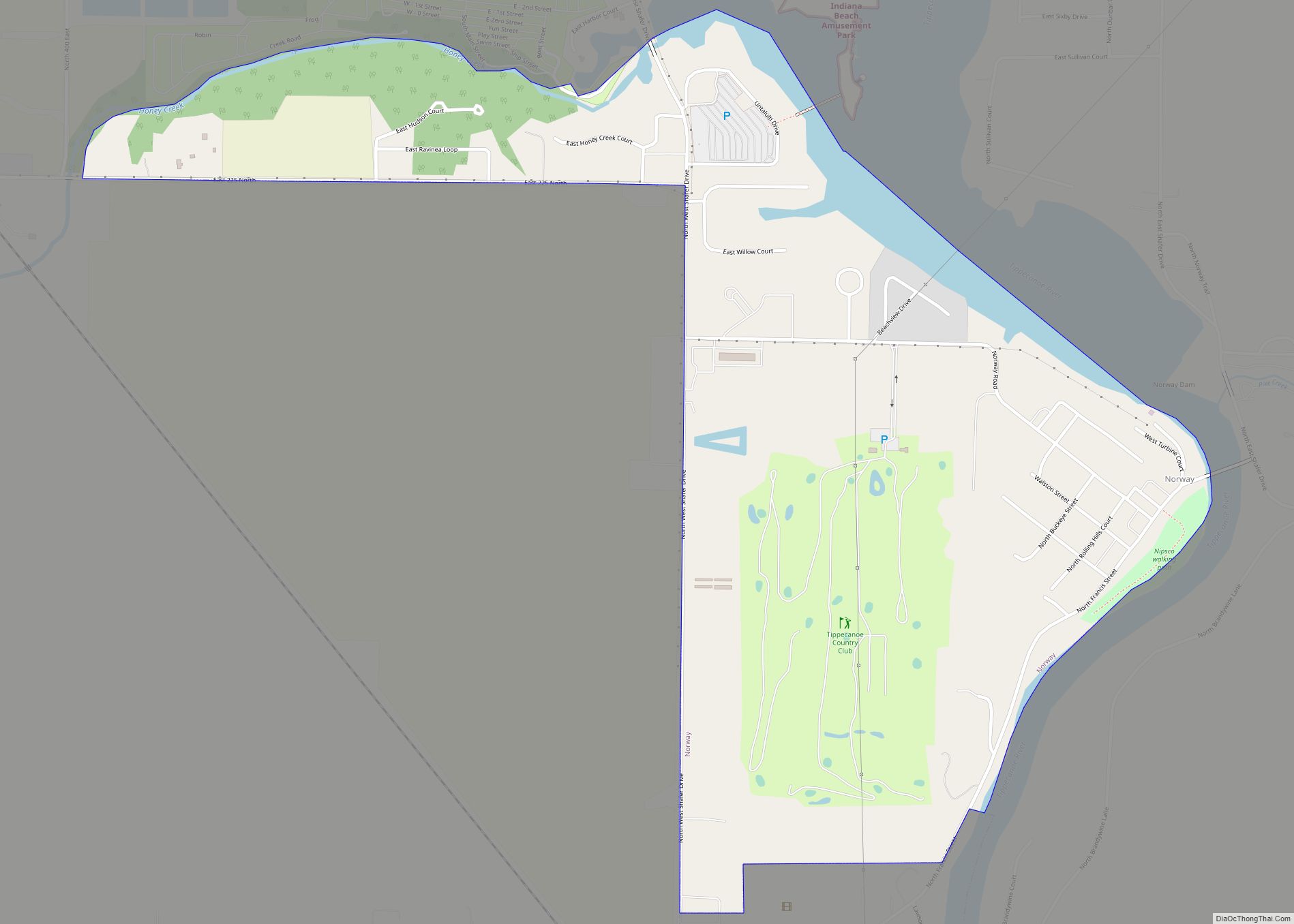
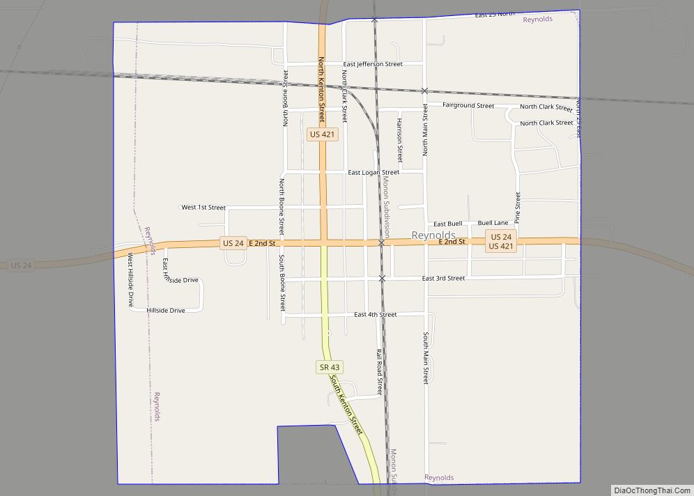
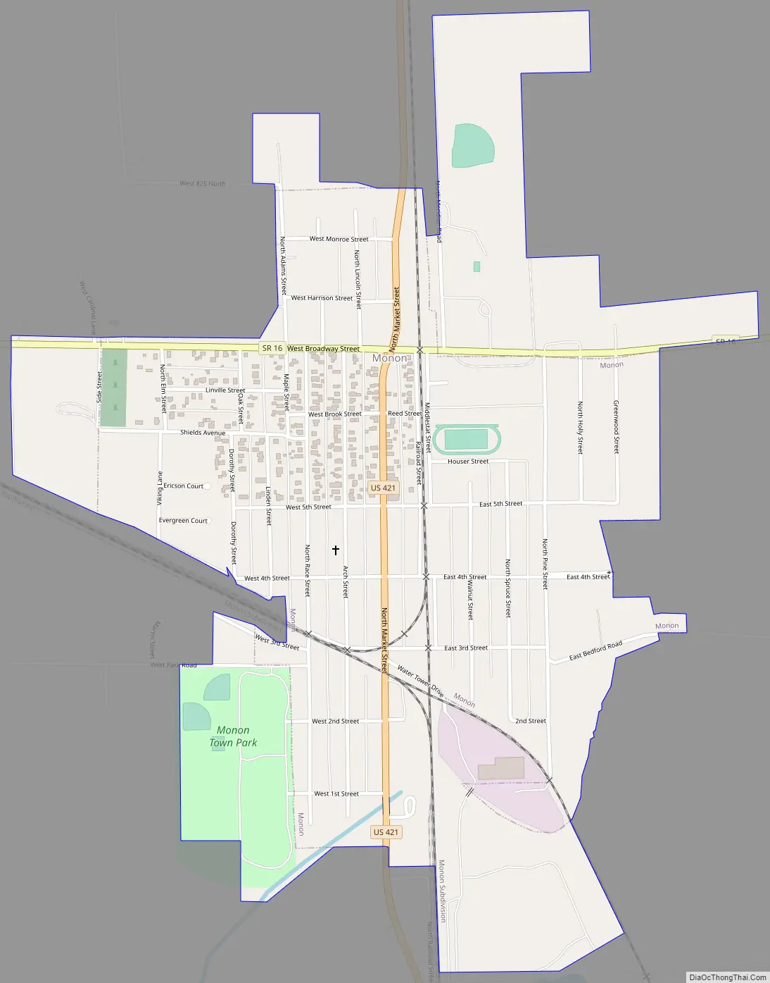
Monon Road Map
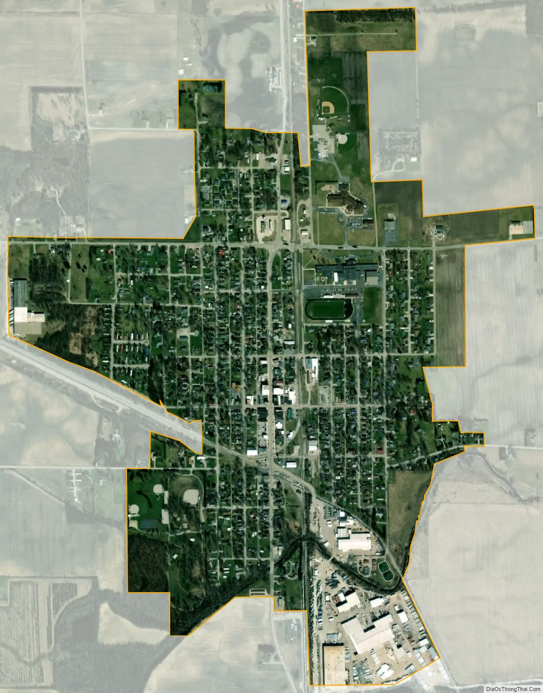
Monon city Satellite Map
Geography
Monon is located on U.S. Route 421, about 30 miles (48 km) north of Lafayette. According to the 2010 census, Monon has a total area of 0.56 square miles (1.45 km), all land.
See also
Map of Indiana State and its subdivision:- Adams
- Allen
- Bartholomew
- Benton
- Blackford
- Boone
- Brown
- Carroll
- Cass
- Clark
- Clay
- Clinton
- Crawford
- Daviess
- De Kalb
- Dearborn
- Decatur
- Delaware
- Dubois
- Elkhart
- Fayette
- Floyd
- Fountain
- Franklin
- Fulton
- Gibson
- Grant
- Greene
- Hamilton
- Hancock
- Harrison
- Hendricks
- Henry
- Howard
- Huntington
- Jackson
- Jasper
- Jay
- Jefferson
- Jennings
- Johnson
- Knox
- Kosciusko
- LaGrange
- Lake
- Lake Michigan
- LaPorte
- Lawrence
- Madison
- Marion
- Marshall
- Martin
- Miami
- Monroe
- Montgomery
- Morgan
- Newton
- Noble
- Ohio
- Orange
- Owen
- Parke
- Perry
- Pike
- Porter
- Posey
- Pulaski
- Putnam
- Randolph
- Ripley
- Rush
- Saint Joseph
- Scott
- Shelby
- Spencer
- Starke
- Steuben
- Sullivan
- Switzerland
- Tippecanoe
- Tipton
- Union
- Vanderburgh
- Vermillion
- Vigo
- Wabash
- Warren
- Warrick
- Washington
- Wayne
- Wells
- White
- Whitley
- Alabama
- Alaska
- Arizona
- Arkansas
- California
- Colorado
- Connecticut
- Delaware
- District of Columbia
- Florida
- Georgia
- Hawaii
- Idaho
- Illinois
- Indiana
- Iowa
- Kansas
- Kentucky
- Louisiana
- Maine
- Maryland
- Massachusetts
- Michigan
- Minnesota
- Mississippi
- Missouri
- Montana
- Nebraska
- Nevada
- New Hampshire
- New Jersey
- New Mexico
- New York
- North Carolina
- North Dakota
- Ohio
- Oklahoma
- Oregon
- Pennsylvania
- Rhode Island
- South Carolina
- South Dakota
- Tennessee
- Texas
- Utah
- Vermont
- Virginia
- Washington
- West Virginia
- Wisconsin
- Wyoming