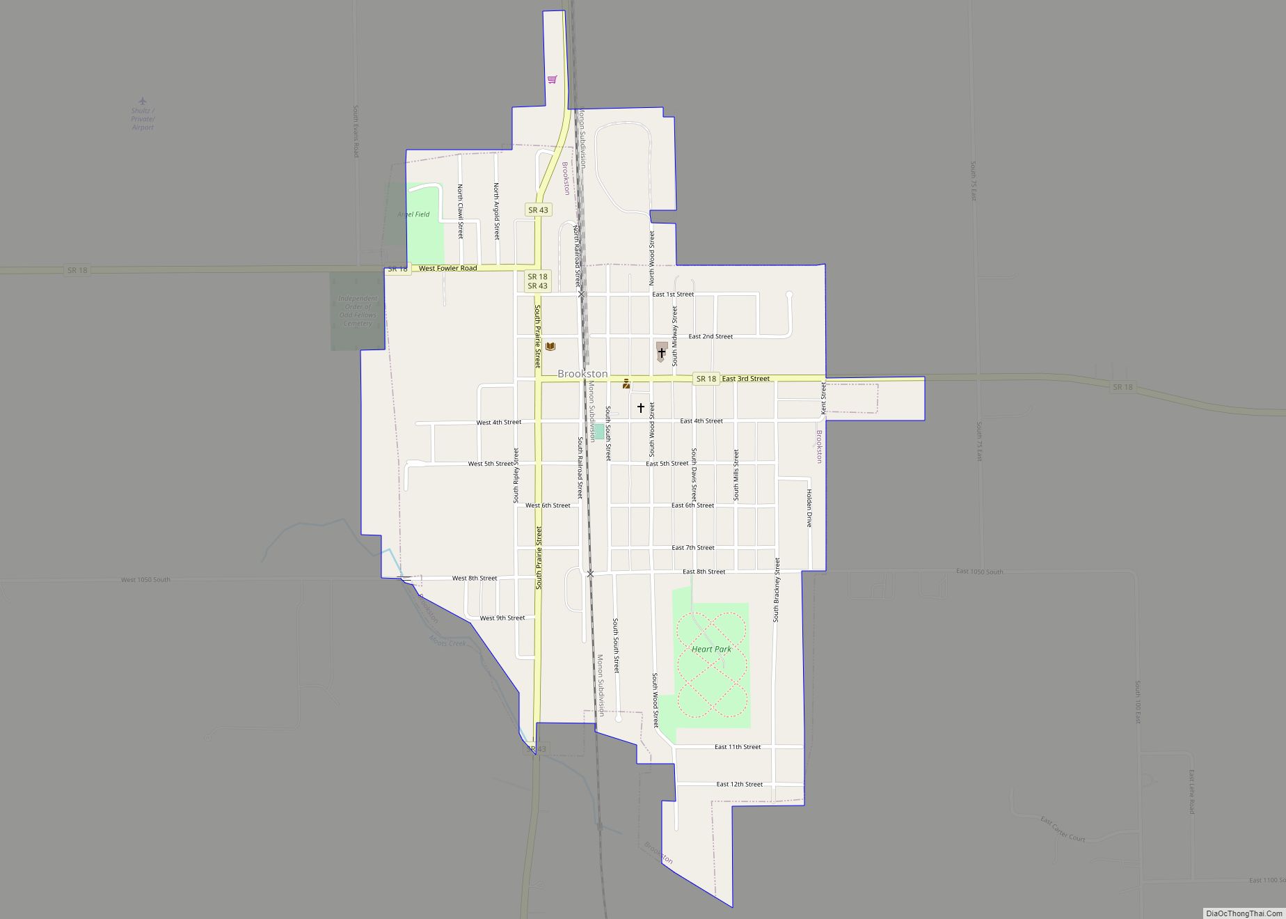
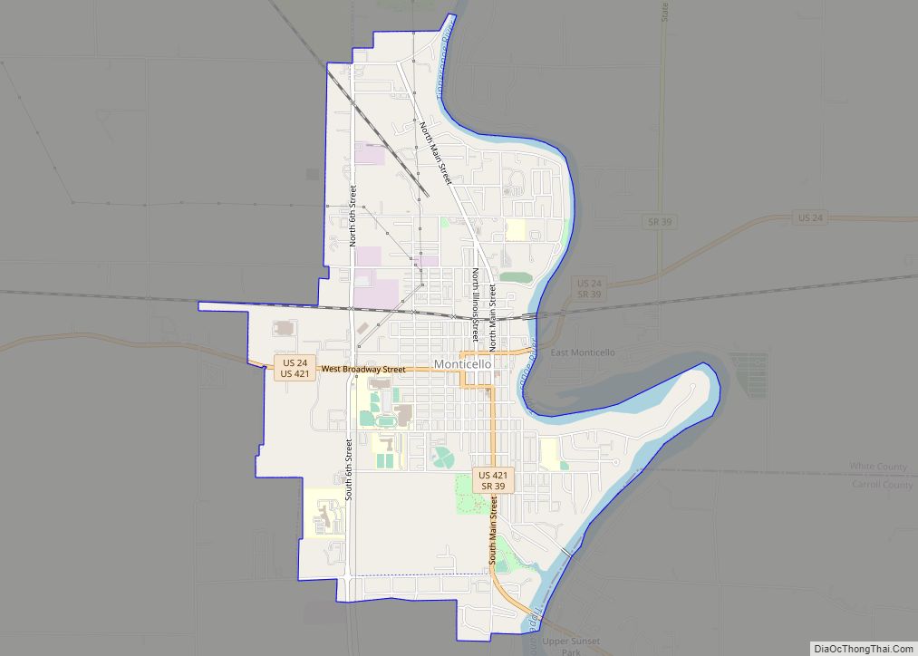
Monticello (/ˌmɒntɪˈsɛloʊ/ (listen) MON-tiss-EL-oh) is a city in Union Township, White County, Indiana, United States. The city is the county seat of White County. The population was 5,508 at the 2020 census.
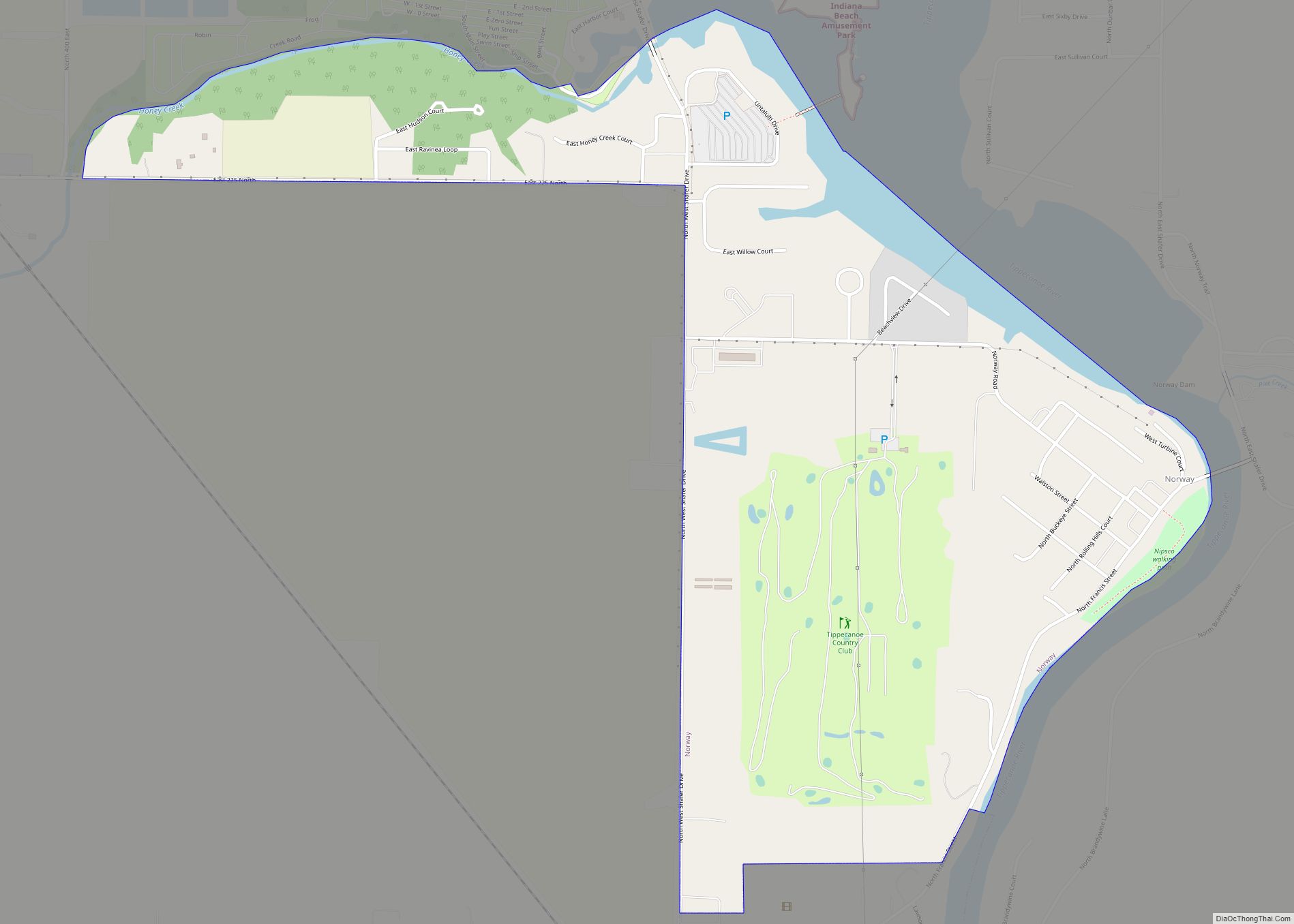
Monticello is known as a tourist destination in north-central Indiana and is home to the Indiana Beach amusement park on Lake Shafer, and Lake Freeman.
| Name: | Monticello city |
|---|---|
| LSAD Code: | 25 |
| LSAD Description: | city (suffix) |
| State: | Indiana |
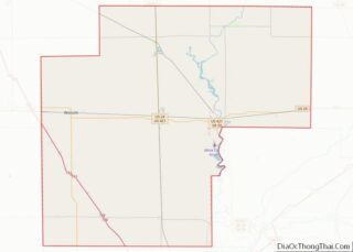
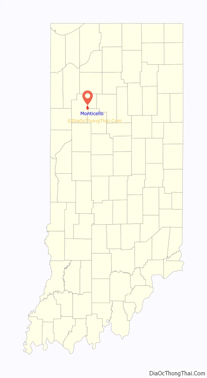
| County: | White County |
| Elevation: | 682 ft (208 m) |
| Total Area: | 3.68 sq mi (9.53 km²) |
| Land Area: | 3.47 sq mi (8.98 km²) |
| Water Area: | 0.21 sq mi (0.55 km²) 5.96% |
| Total Population: | 5,508 |
| Population Density: | 1,589.15/sq mi (613.61/km²) |
| ZIP code: | 47960 |
| Area code: | 574 |
| FIPS code: | 1850760 |
| GNISfeature ID: | 2395383 |
| Website: | http://www.monticelloin.gov |
Online Interactive Map
Click on ![]() to view map in "full screen" mode.
to view map in "full screen" mode.
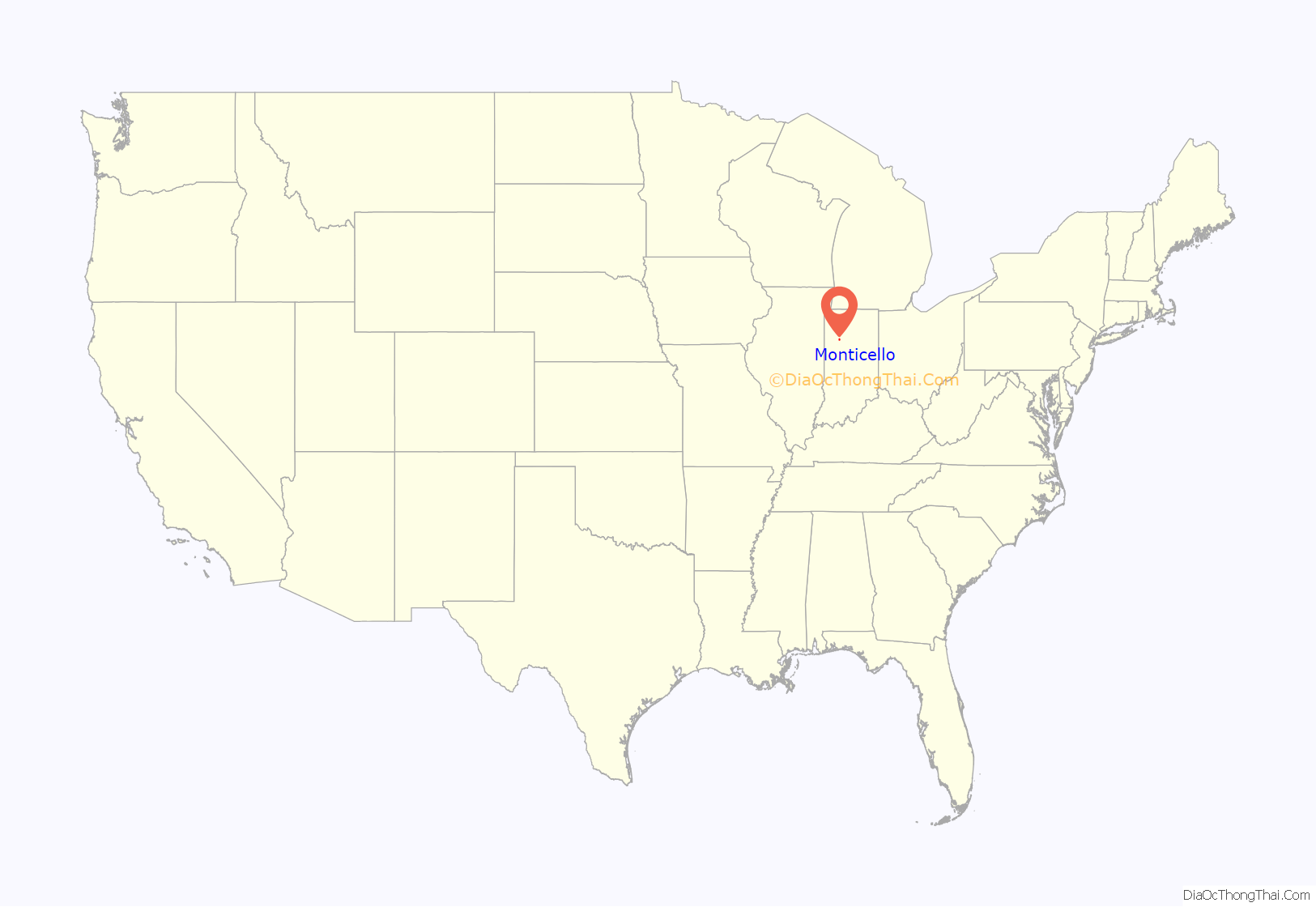
Monticello location map. Where is Monticello city?
History
Monticello was laid out in 1834 as the county seat, with a post office established that year, and is still currently in operation. The city was named after President Thomas Jefferson’s estate in Virginia.
Monticello, Indiana sustained serious damage by a tornado on April 3, 1974, part of the 1974 Super Outbreak that caused death and destruction across the midwest and south. The aftermath of this storm is recorded in the Herald Journal’s book, Killer Tornado. The tornado was rated F4 on the Fujita scale. This storm killed eight people and was part of tornado family that killed 18, causing an estimated $100 million in damage. In the immediate aftermath of the storm, news outlets reported three hundred deaths across the United States and the creation of temporary morgues. The local paper said the aftermath was similar to a World War II bombing.
On September 2, 2005, Jordan Manufacturing burned down. The company manufactured outdoor furniture such as folding chairs, umbrellas, and seat cushions. Due to the materials used in making these products, four city blocks were contaminated with toxins. The blaze was large enough to require firefighters from seven surrounding communities to battle it and needed approximately “3000 gallons of water per minute for the first three hours of the blaze.” While such a fire might not be a big event for a larger city, it had a profound impact on Monticello, as Jordan Manufacturing was one of the few manufacturing plants left in the city after a recession in the 2000s.
The Monticello Carnegie Library, James Culbertson Reynolds House, and South Grade School Building are listed on the National Register of Historic Places.
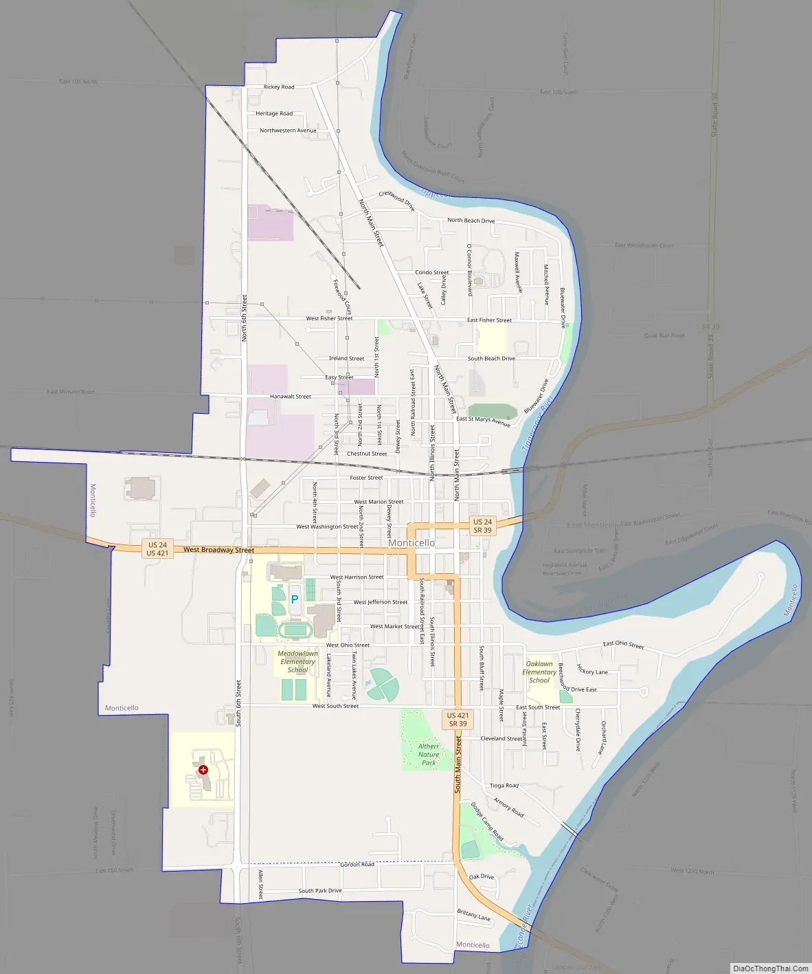
Monticello Road Map
Monticello city Satellite Map
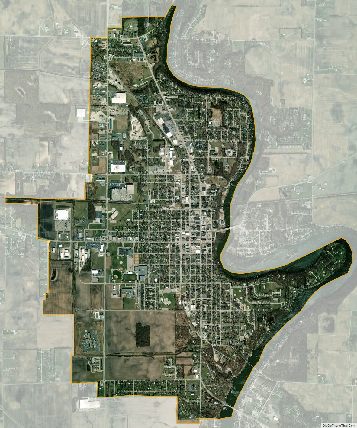
Geography
Monticello is located at 40°44′48″N 86°45′55″W / 40.74667°N 86.76528°W / 40.74667; -86.76528 (40.746709, -86.765359).
According to the 2010 census, Monticello has a total area of 3.686 square miles (9.55 km), of which 3.47 square miles (8.99 km) (or 94.14%) is land and 0.216 square miles (0.56 km) (or 5.86%) is water.
See also
Map of Indiana State and its subdivision:- Adams
- Allen
- Bartholomew
- Benton
- Blackford
- Boone
- Brown
- Carroll
- Cass
- Clark
- Clay
- Clinton
- Crawford
- Daviess
- De Kalb
- Dearborn
- Decatur
- Delaware
- Dubois
- Elkhart
- Fayette
- Floyd
- Fountain
- Franklin
- Fulton
- Gibson
- Grant
- Greene
- Hamilton
- Hancock
- Harrison
- Hendricks
- Henry
- Howard
- Huntington
- Jackson
- Jasper
- Jay
- Jefferson
- Jennings
- Johnson
- Knox
- Kosciusko
- LaGrange
- Lake
- Lake Michigan
- LaPorte
- Lawrence
- Madison
- Marion
- Marshall
- Martin
- Miami
- Monroe
- Montgomery
- Morgan
- Newton
- Noble
- Ohio
- Orange
- Owen
- Parke
- Perry
- Pike
- Porter
- Posey
- Pulaski
- Putnam
- Randolph
- Ripley
- Rush
- Saint Joseph
- Scott
- Shelby
- Spencer
- Starke
- Steuben
- Sullivan
- Switzerland
- Tippecanoe
- Tipton
- Union
- Vanderburgh
- Vermillion
- Vigo
- Wabash
- Warren
- Warrick
- Washington
- Wayne
- Wells
- White
- Whitley
- Alabama
- Alaska
- Arizona
- Arkansas
- California
- Colorado
- Connecticut
- Delaware
- District of Columbia
- Florida
- Georgia
- Hawaii
- Idaho
- Illinois
- Indiana
- Iowa
- Kansas
- Kentucky
- Louisiana
- Maine
- Maryland
- Massachusetts
- Michigan
- Minnesota
- Mississippi
- Missouri
- Montana
- Nebraska
- Nevada
- New Hampshire
- New Jersey
- New Mexico
- New York
- North Carolina
- North Dakota
- Ohio
- Oklahoma
- Oregon
- Pennsylvania
- Rhode Island
- South Carolina
- South Dakota
- Tennessee
- Texas
- Utah
- Vermont
- Virginia
- Washington
- West Virginia
- Wisconsin
- Wyoming