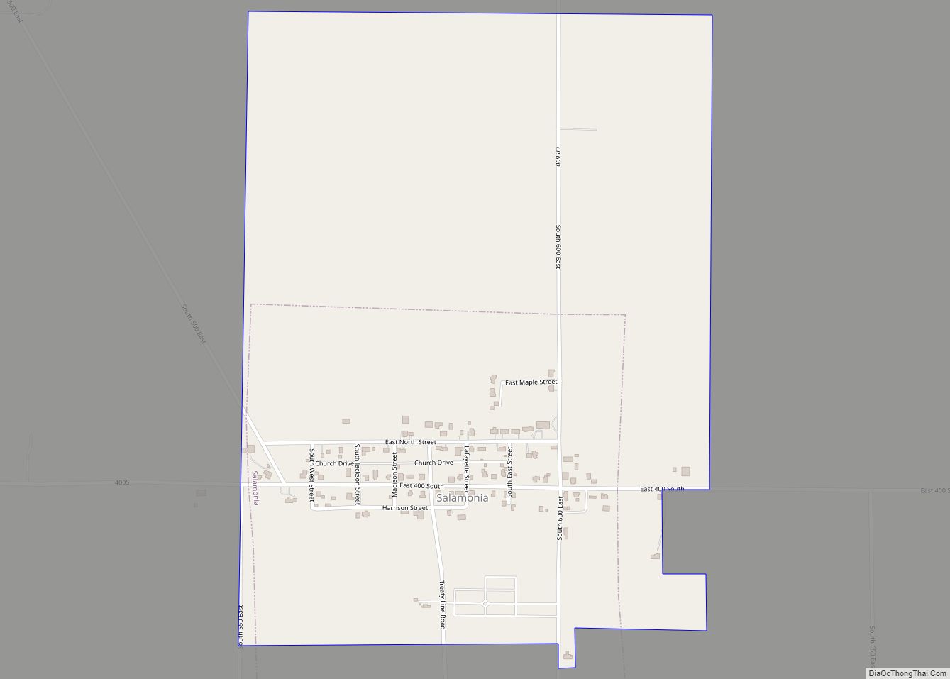
Salamonia is a town in Madison Township, Jay County, Indiana, United States. The population was 157 at the 2010 census. The town is situated along the Salamonie River, near its headwaters in Northern Indiana. Salamonia town overview: Name: Salamonia town LSAD Code: 43 LSAD Description: town (suffix) State: Indiana County: Jay County Elevation: 971 ft (296 m) ... Read more
Indiana Cities and Places
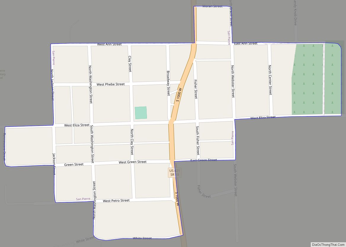
San Pierre is a census-designated place (CDP) in Railroad Township, Starke County, in the U.S. state of Indiana. The population was 144 at the 2010 census. San Pierre CDP overview: Name: San Pierre CDP LSAD Code: 57 LSAD Description: CDP (suffix) State: Indiana County: Starke County Elevation: 696 ft (212 m) Total Area: 0.14 sq mi (0.38 km²) Land Area: ... Read more
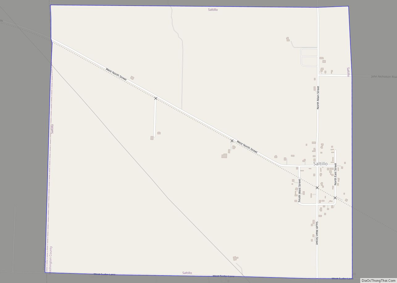
Saltillo is a town in Brown Township, Washington County, in the U.S. state of Indiana. The population was 92 at the 2010 census. Saltillo town overview: Name: Saltillo town LSAD Code: 43 LSAD Description: town (suffix) State: Indiana County: Washington County Elevation: 807 ft (246 m) Total Area: 1.15 sq mi (2.99 km²) Land Area: 1.15 sq mi (2.98 km²) Water Area: 0.00 sq mi ... Read more
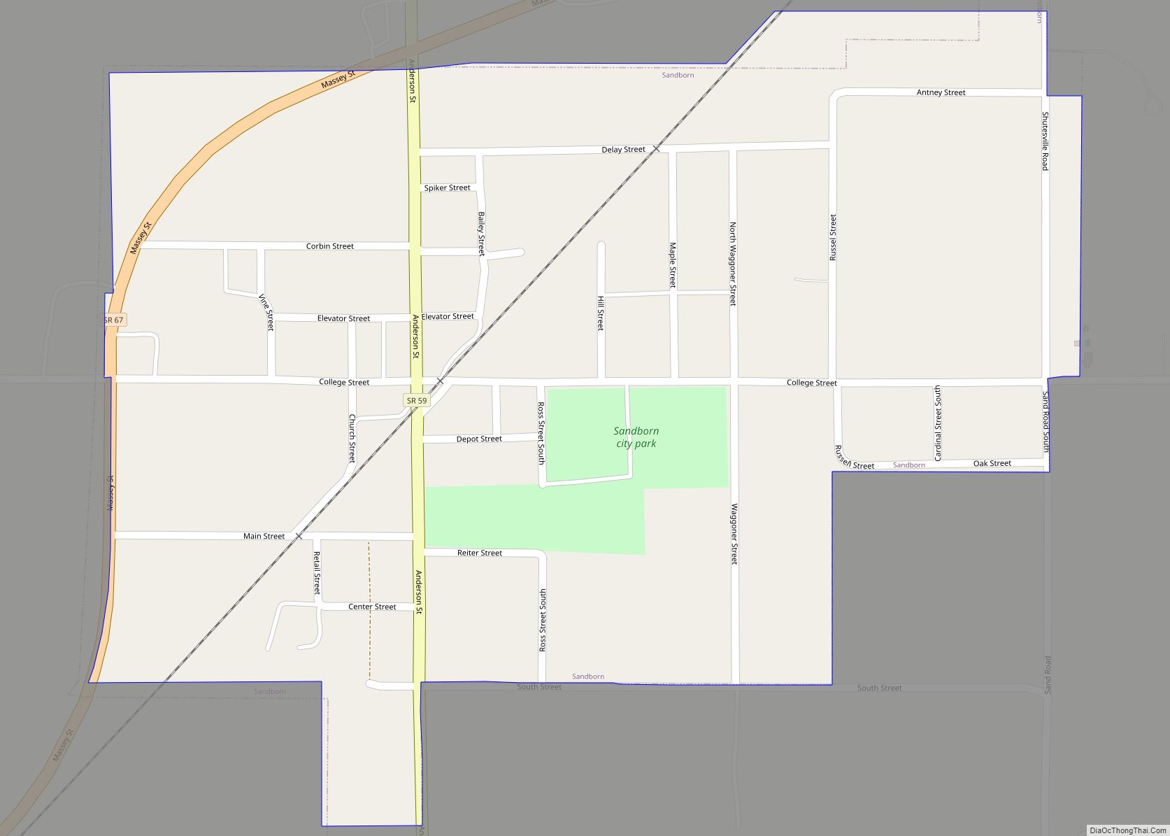
Sandborn is a town in Vigo Township, Knox County, Indiana, United States. The population was 359 at the 2020 census. It is the home of the annual Black Creek Festival. Sandborn town overview: Name: Sandborn town LSAD Code: 43 LSAD Description: town (suffix) State: Indiana County: Knox County Elevation: 479 ft (146 m) Total Area: 0.39 sq mi (1.01 km²) ... Read more
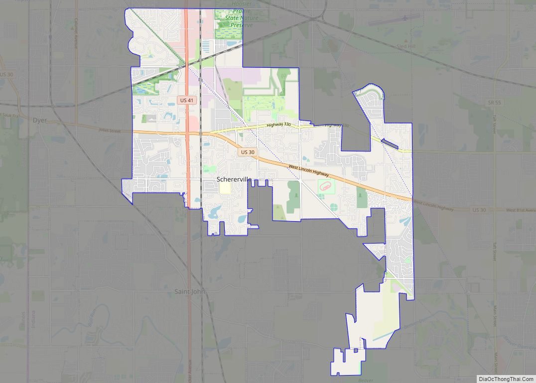
Schererville /ˈʃɛərvɪl/ is a town in St. John Township, Lake County, Indiana, United States. The population was 29,646 at the 2020 census It is a suburb of Chicago, located 30 miles south of the city. Schererville town overview: Name: Schererville town LSAD Code: 43 LSAD Description: town (suffix) State: Indiana County: Lake County Founded: 1866 ... Read more
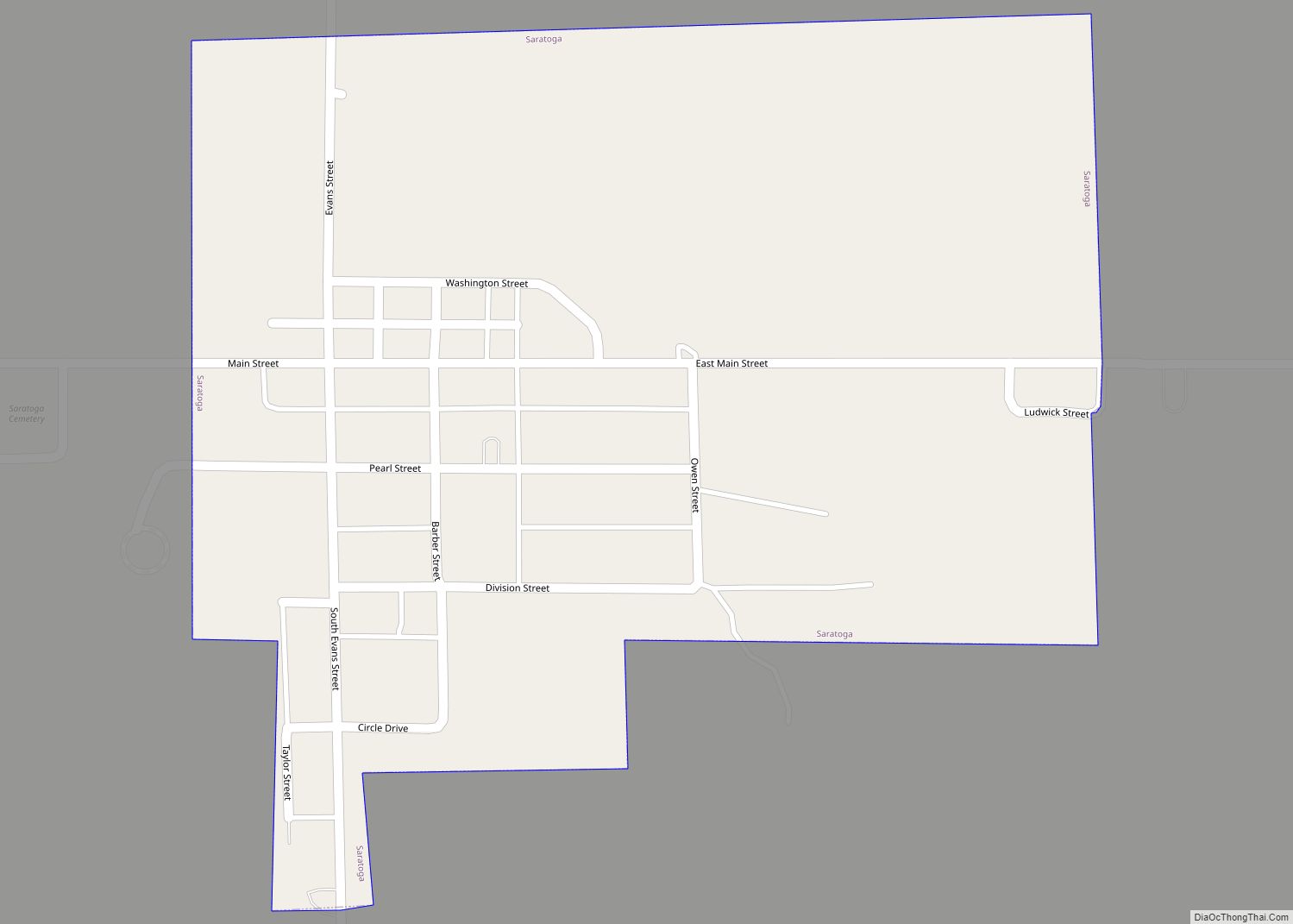
Saratoga is a town in Ward Township, Randolph County, in the U.S. state of Indiana. The population was 254 at the 2010 census. Saratoga town overview: Name: Saratoga town LSAD Code: 43 LSAD Description: town (suffix) State: Indiana County: Randolph County Elevation: 1,050 ft (320 m) Total Area: 0.27 sq mi (0.69 km²) Land Area: 0.27 sq mi (0.69 km²) Water Area: 0.00 sq mi ... Read more
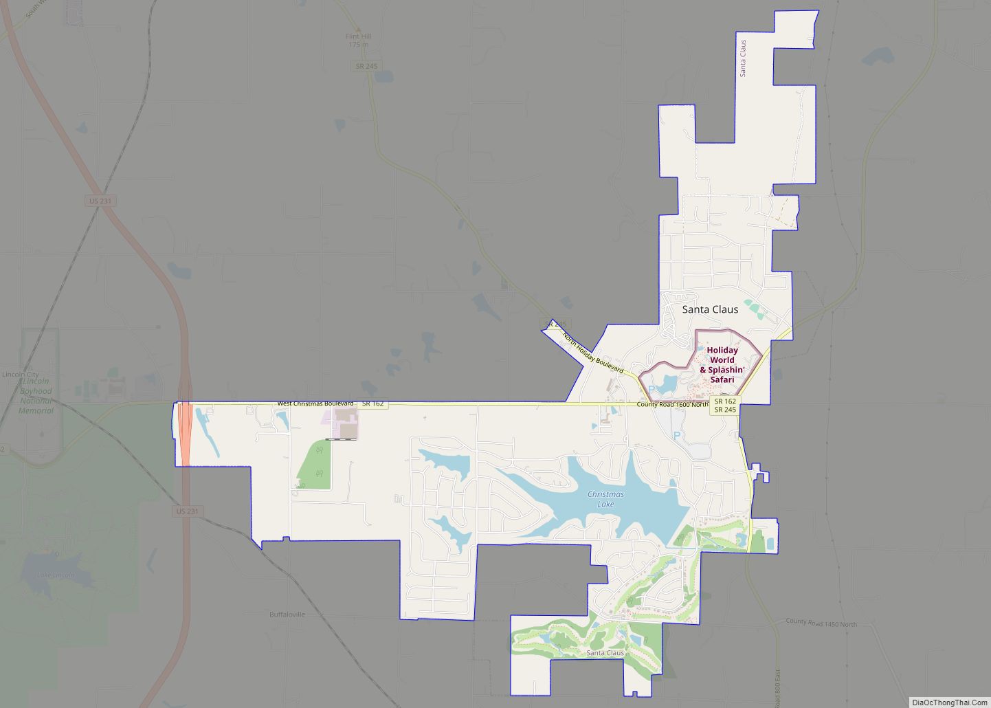
Santa Claus is a town in Spencer County, Indiana, United States, in the southwestern part of the state. Located in Carter, Clay and Harrison Townships, it sits between Interstate 64 and the Ohio River and Owensboro. The population was 2,481 at the 2010 census, making it the largest community in Spencer County. The 2020 census ... Read more
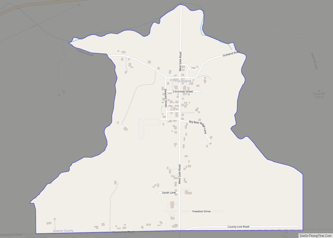
Scotland is an unincorporated community and census-designated place (CDP) in Taylor Township, Greene County, Indiana, United States. As of the 2010 census it had a population of 134. Scotland CDP overview: Name: Scotland CDP LSAD Code: 57 LSAD Description: CDP (suffix) State: Indiana County: Greene County Elevation: 610 ft (190 m) Total Area: 0.58 sq mi (1.49 km²) Land Area: ... Read more
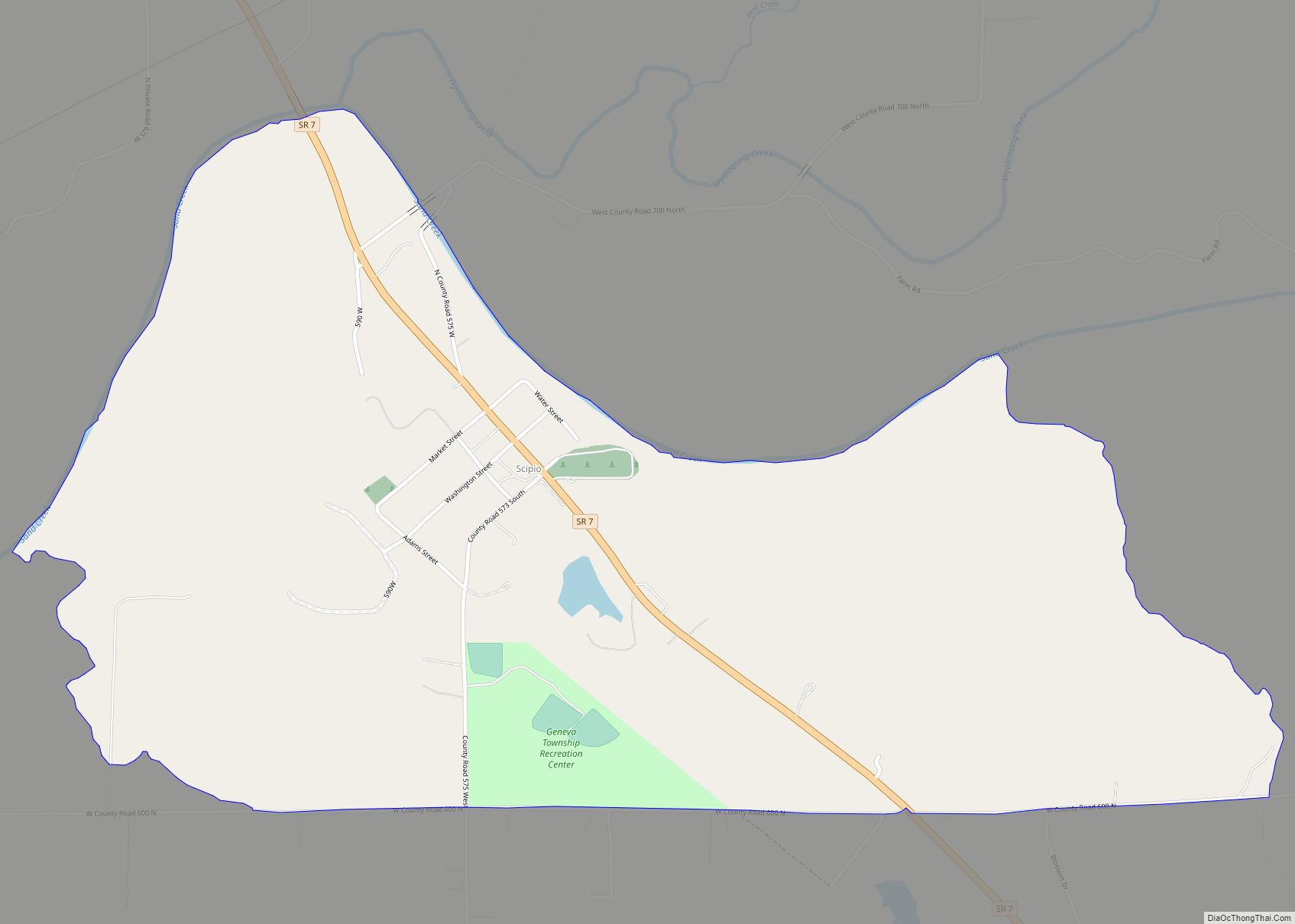
Scipio is an unincorporated community and census-designated place (CDP) in Geneva Township, Jennings County, Indiana, United States. As of the 2010 census it had a population of 153. Scipio CDP overview: Name: Scipio CDP LSAD Code: 57 LSAD Description: CDP (suffix) State: Indiana County: Jennings County Elevation: 679 ft (207 m) Total Area: 1.17 sq mi (3.03 km²) Land Area: ... Read more
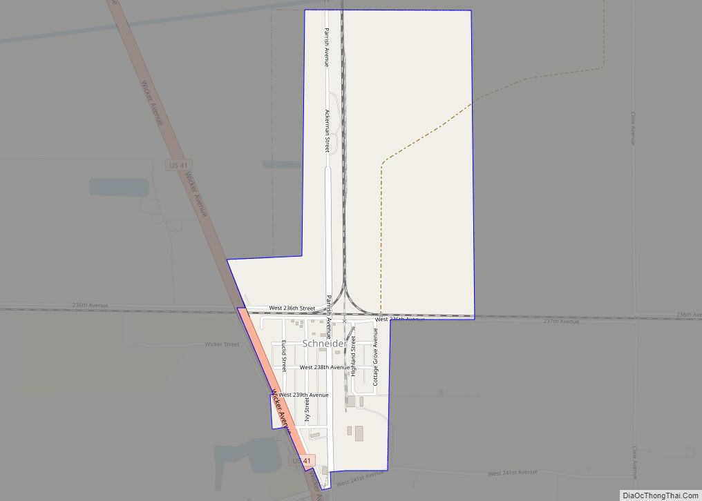
Schneider is a town in West Creek Township, Lake County, Indiana, United States. The population was 277 at the 2010 census. It is the smallest incorporated town in Lake County by population. It sits in the Kankakee River Valley. Schneider town overview: Name: Schneider town LSAD Code: 43 LSAD Description: town (suffix) State: Indiana County: ... Read more
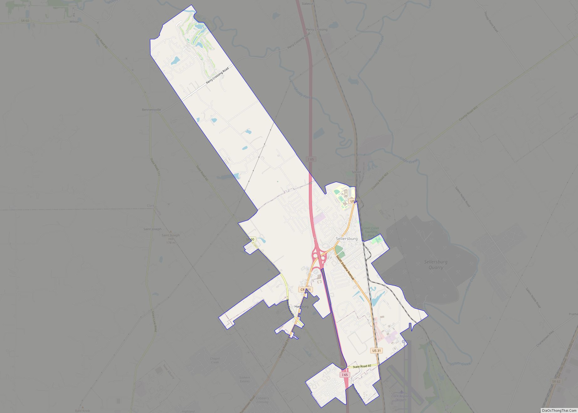
Sellersburg is a town located within Silver Creek Township, Clark County, Indiana, United States. It had a population of 9,310 at time of the 2020 census. Sellersburg is located along Interstate 65, about 15 minutes north of Louisville. Sellersburg town overview: Name: Sellersburg town LSAD Code: 43 LSAD Description: town (suffix) State: Indiana County: Clark ... Read more
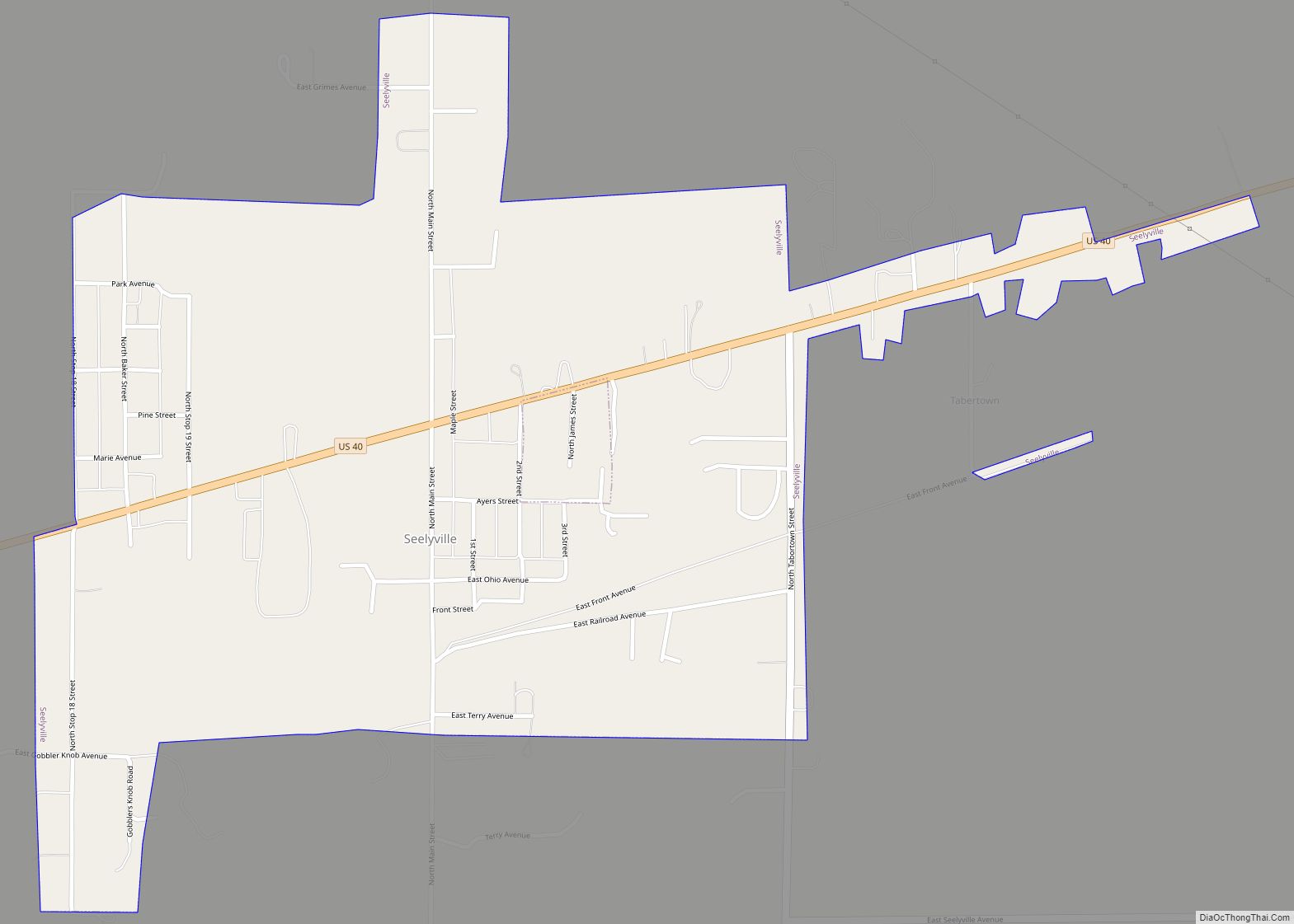
Seelyville is a town in Lost Creek Township, Vigo County, in the U.S. state of Indiana. The population was 1,029 at the 2010 census. It is part of the Terre Haute Metropolitan Statistical Area. Seelyville town overview: Name: Seelyville town LSAD Code: 43 LSAD Description: town (suffix) State: Indiana County: Vigo County Elevation: 584 ft (178 m) ... Read more
