Seelyville is a town in Lost Creek Township, Vigo County, in the U.S. state of Indiana. The population was 1,029 at the 2010 census. It is part of the Terre Haute Metropolitan Statistical Area.
| Name: | Seelyville town |
|---|---|
| LSAD Code: | 43 |
| LSAD Description: | town (suffix) |
| State: | Indiana |
| County: | Vigo County |
| Elevation: | 584 ft (178 m) |
| Total Area: | 0.91 sq mi (2.35 km²) |
| Land Area: | 0.89 sq mi (2.30 km²) |
| Water Area: | 0.02 sq mi (0.05 km²) |
| Total Population: | 1,012 |
| Population Density: | 1,139.64/sq mi (440.13/km²) |
| ZIP code: | 47878 |
| Area code: | 812 |
| FIPS code: | 1868652 |
| GNISfeature ID: | 443203 |
Online Interactive Map
Click on ![]() to view map in "full screen" mode.
to view map in "full screen" mode.
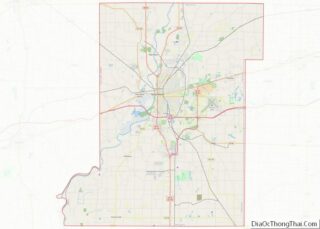
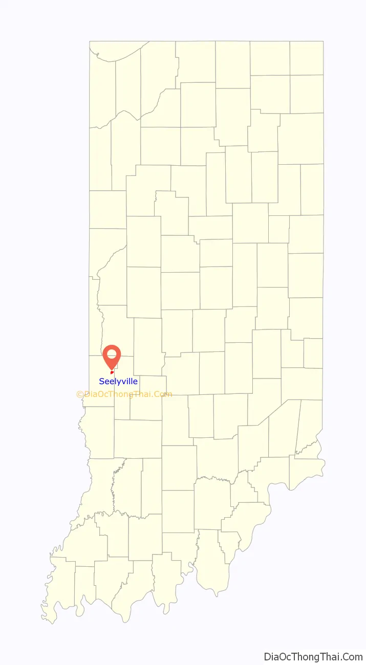
Seelyville location map. Where is Seelyville town?

History
Seelyville was originally called the “Woodsmills.” The town was laid out by Moddisett, the owner of the land north of the Jonas Seely property. When the Terre Haute and Eastern Railroad was built along the south side of town, the small whistle stop station hired Jonas Seely as station master. The name was originally the Seely Station but was later changed to Seelyville Station. The town expanded with the opening of the McKeen coal shaft, one of the earliest operated in the county. After passing through several hands, the mine closed operations in 1879. Others operated into the early 1900s. A post office was established in Seelyville in 1878.
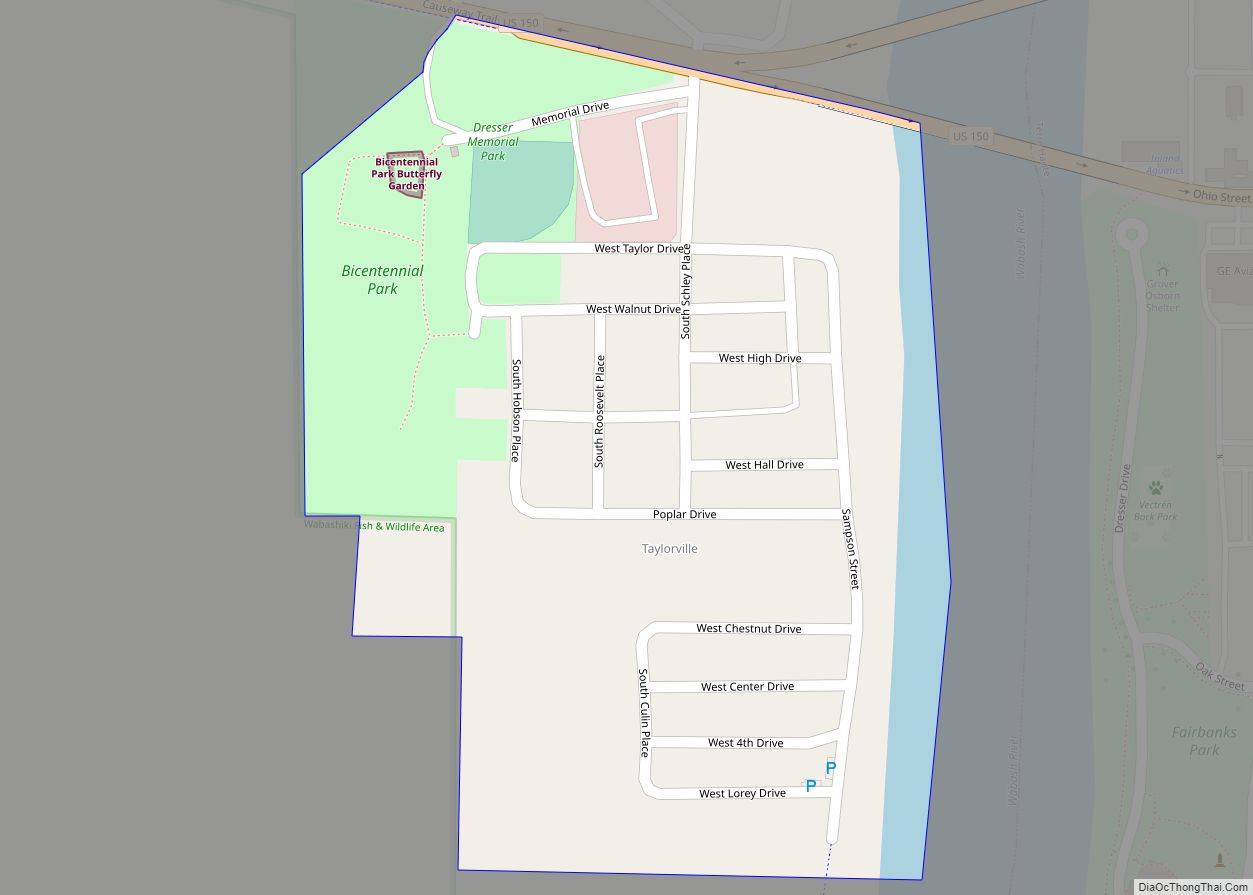
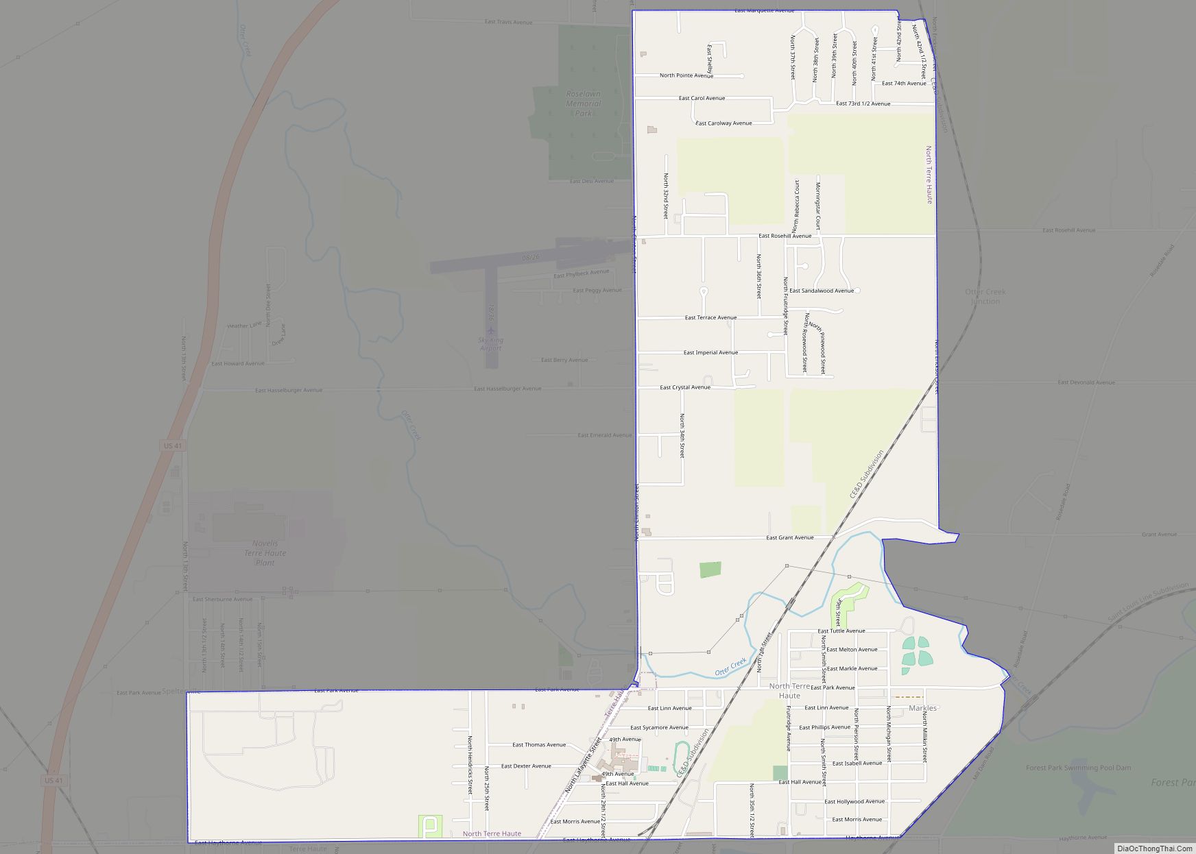
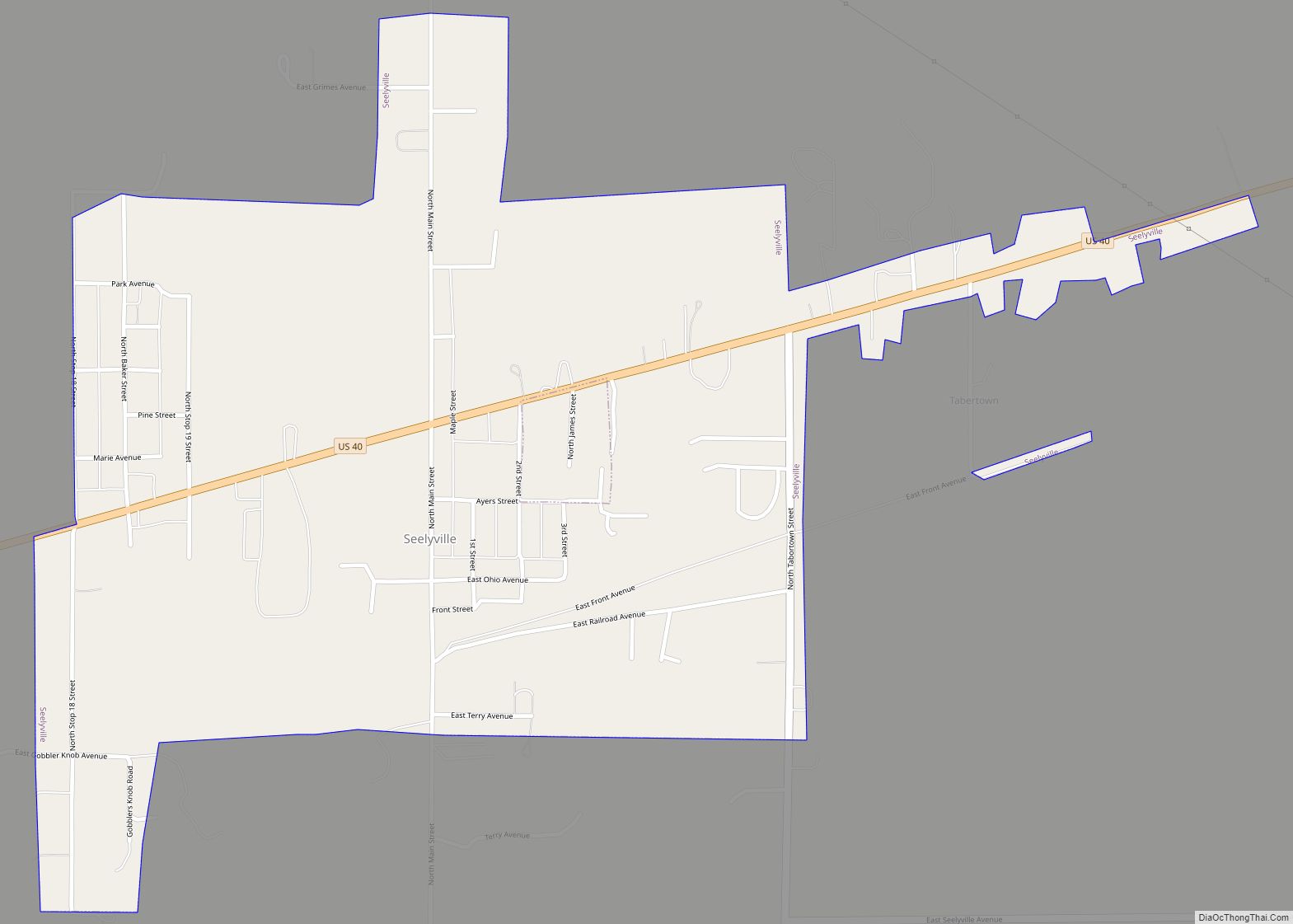
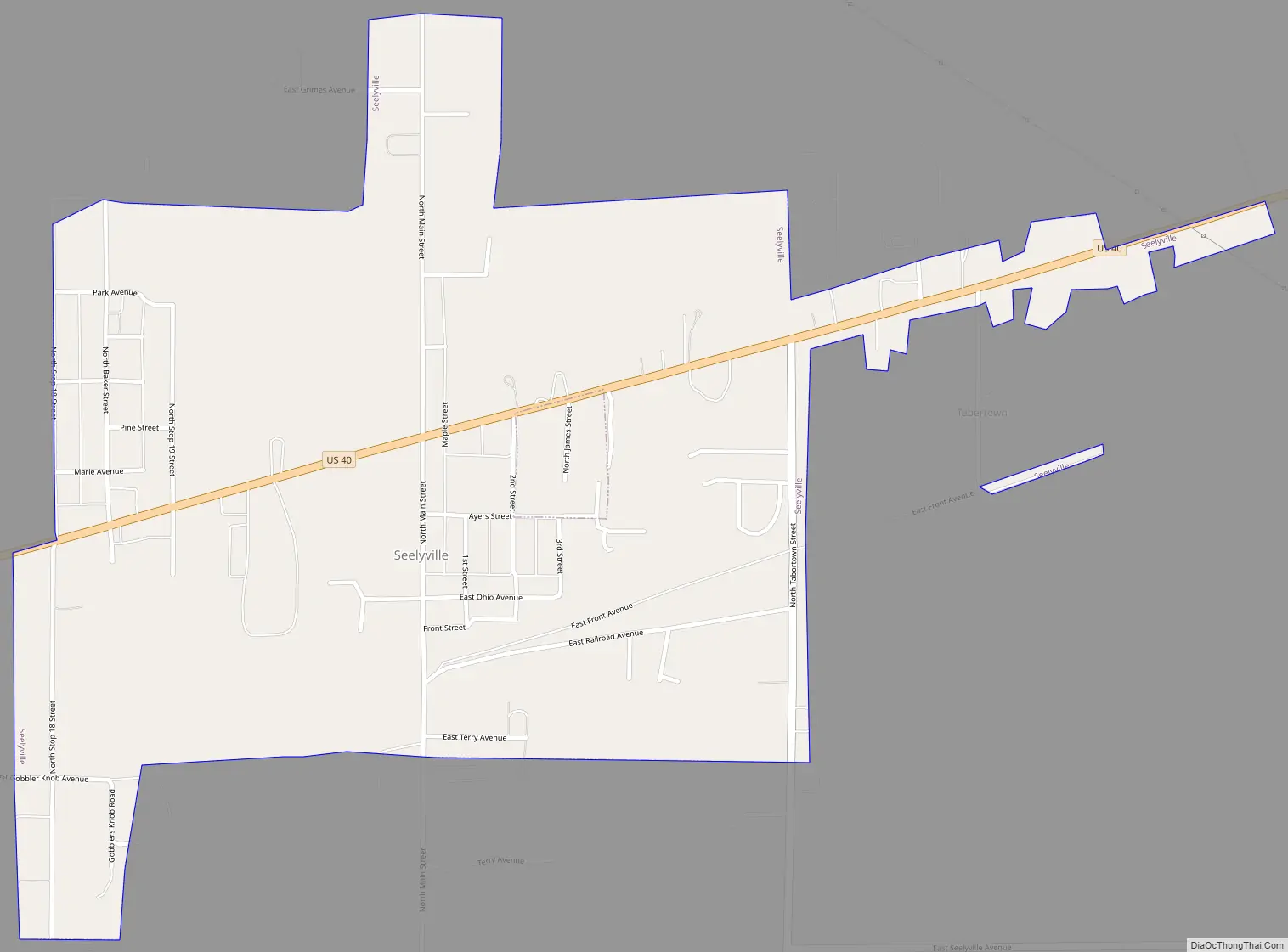
Seelyville Road Map
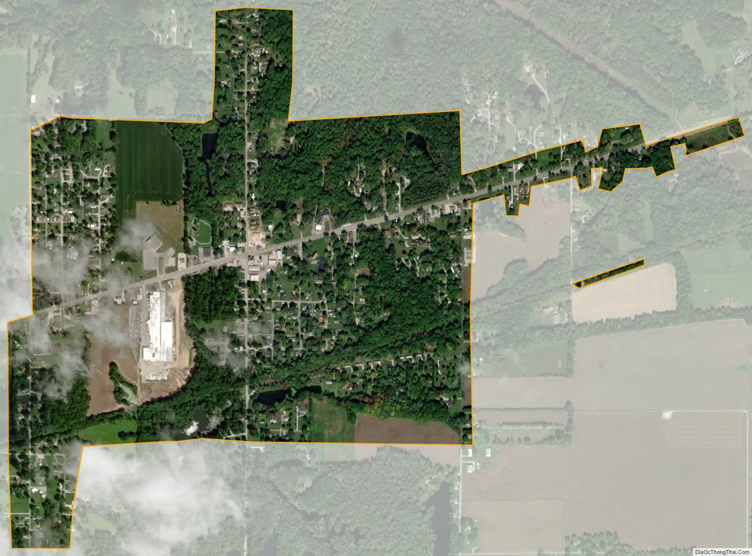
Seelyville city Satellite Map
Geography
Seelyville is located at 39°29′32″N 87°15′59″W / 39.49222°N 87.26639°W / 39.49222; -87.26639 (39.492188, -87.266466). The town lies east of Terre Haute along U.S. Route 40.
According to the 2010 census, Seelyville has a total area of 0.91 square miles (2.36 km), of which 0.89 square miles (2.31 km) (or 97.8%) is land and 0.02 square miles (0.05 km) (or 2.2%) is water.
Climate
The climate in this area is characterized by hot, humid summers and generally mild to cool winters. According to the Köppen climate classification system, Seelyville has a humid subtropical climate, abbreviated “Cfa” on climate maps.
See also
Map of Indiana State and its subdivision:- Adams
- Allen
- Bartholomew
- Benton
- Blackford
- Boone
- Brown
- Carroll
- Cass
- Clark
- Clay
- Clinton
- Crawford
- Daviess
- De Kalb
- Dearborn
- Decatur
- Delaware
- Dubois
- Elkhart
- Fayette
- Floyd
- Fountain
- Franklin
- Fulton
- Gibson
- Grant
- Greene
- Hamilton
- Hancock
- Harrison
- Hendricks
- Henry
- Howard
- Huntington
- Jackson
- Jasper
- Jay
- Jefferson
- Jennings
- Johnson
- Knox
- Kosciusko
- LaGrange
- Lake
- Lake Michigan
- LaPorte
- Lawrence
- Madison
- Marion
- Marshall
- Martin
- Miami
- Monroe
- Montgomery
- Morgan
- Newton
- Noble
- Ohio
- Orange
- Owen
- Parke
- Perry
- Pike
- Porter
- Posey
- Pulaski
- Putnam
- Randolph
- Ripley
- Rush
- Saint Joseph
- Scott
- Shelby
- Spencer
- Starke
- Steuben
- Sullivan
- Switzerland
- Tippecanoe
- Tipton
- Union
- Vanderburgh
- Vermillion
- Vigo
- Wabash
- Warren
- Warrick
- Washington
- Wayne
- Wells
- White
- Whitley
- Alabama
- Alaska
- Arizona
- Arkansas
- California
- Colorado
- Connecticut
- Delaware
- District of Columbia
- Florida
- Georgia
- Hawaii
- Idaho
- Illinois
- Indiana
- Iowa
- Kansas
- Kentucky
- Louisiana
- Maine
- Maryland
- Massachusetts
- Michigan
- Minnesota
- Mississippi
- Missouri
- Montana
- Nebraska
- Nevada
- New Hampshire
- New Jersey
- New Mexico
- New York
- North Carolina
- North Dakota
- Ohio
- Oklahoma
- Oregon
- Pennsylvania
- Rhode Island
- South Carolina
- South Dakota
- Tennessee
- Texas
- Utah
- Vermont
- Virginia
- Washington
- West Virginia
- Wisconsin
- Wyoming