Scotland is an unincorporated community and census-designated place (CDP) in Taylor Township, Greene County, Indiana, United States. As of the 2010 census it had a population of 134.
| Name: | Scotland CDP |
|---|---|
| LSAD Code: | 57 |
| LSAD Description: | CDP (suffix) |
| State: | Indiana |
| County: | Greene County |
| Elevation: | 610 ft (190 m) |
| Total Area: | 0.58 sq mi (1.49 km²) |
| Land Area: | 0.58 sq mi (1.49 km²) |
| Water Area: | 0.00 sq mi (0.00 km²) |
| Total Population: | 98 |
| Population Density: | 170.14/sq mi (65.65/km²) |
| ZIP code: | 47424 |
| FIPS code: | 1868382 |
| GNISfeature ID: | 443134 |
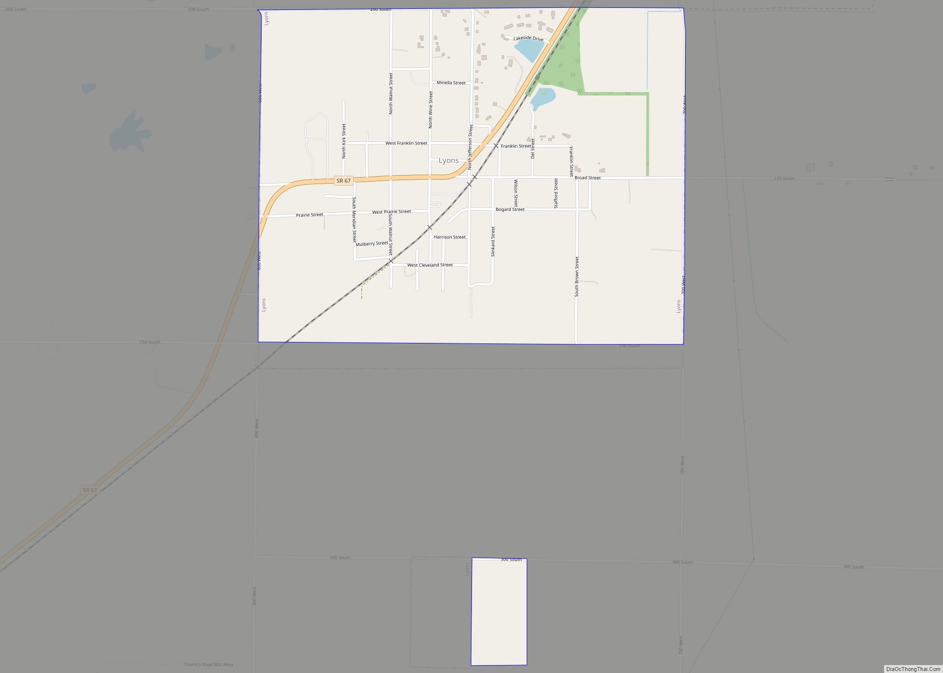
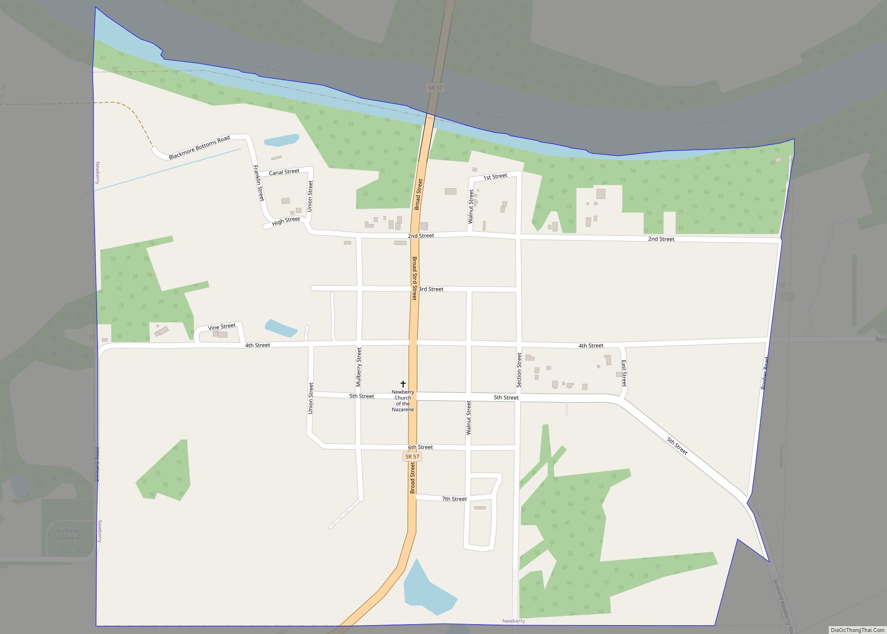
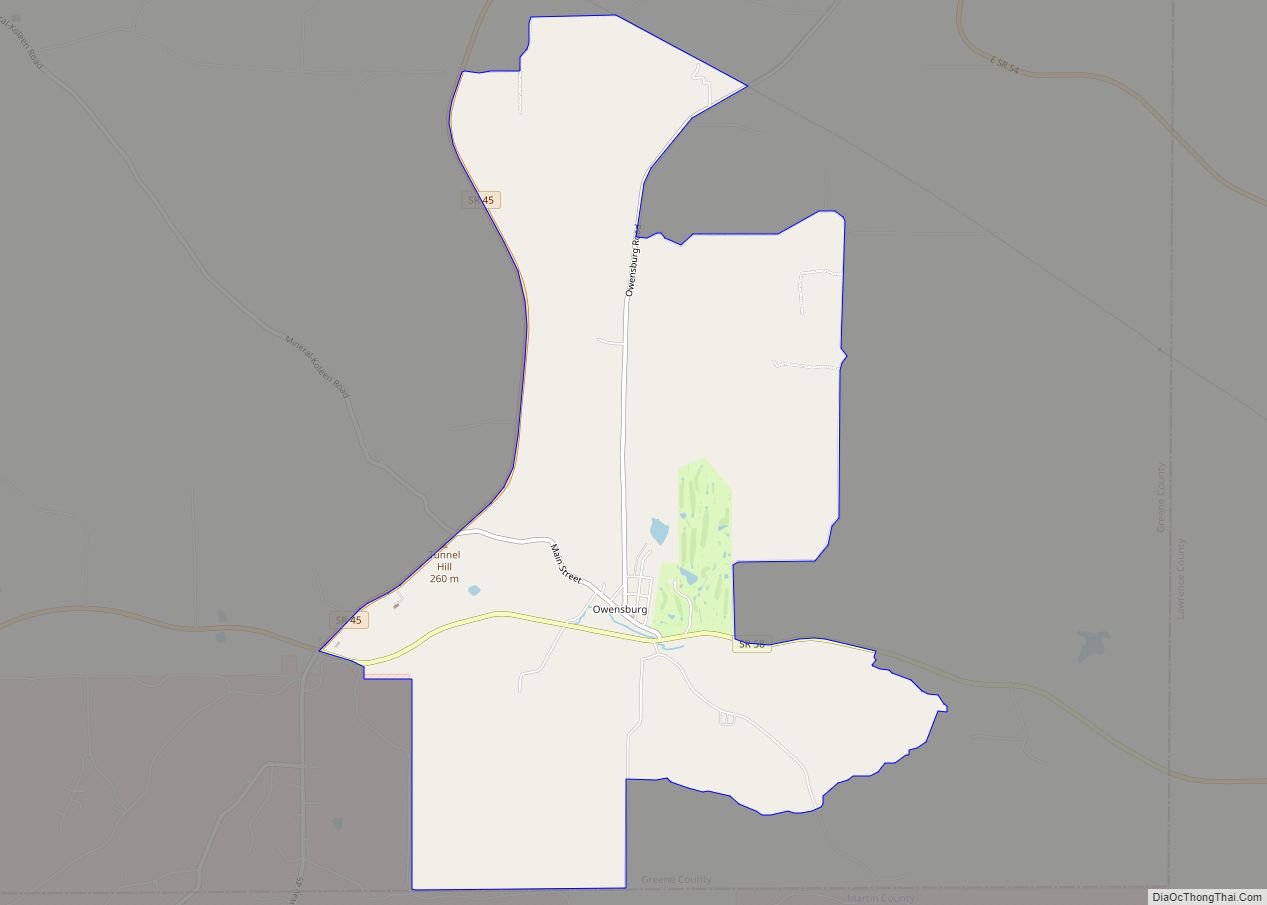
Online Interactive Map
Click on ![]() to view map in "full screen" mode.
to view map in "full screen" mode.
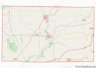
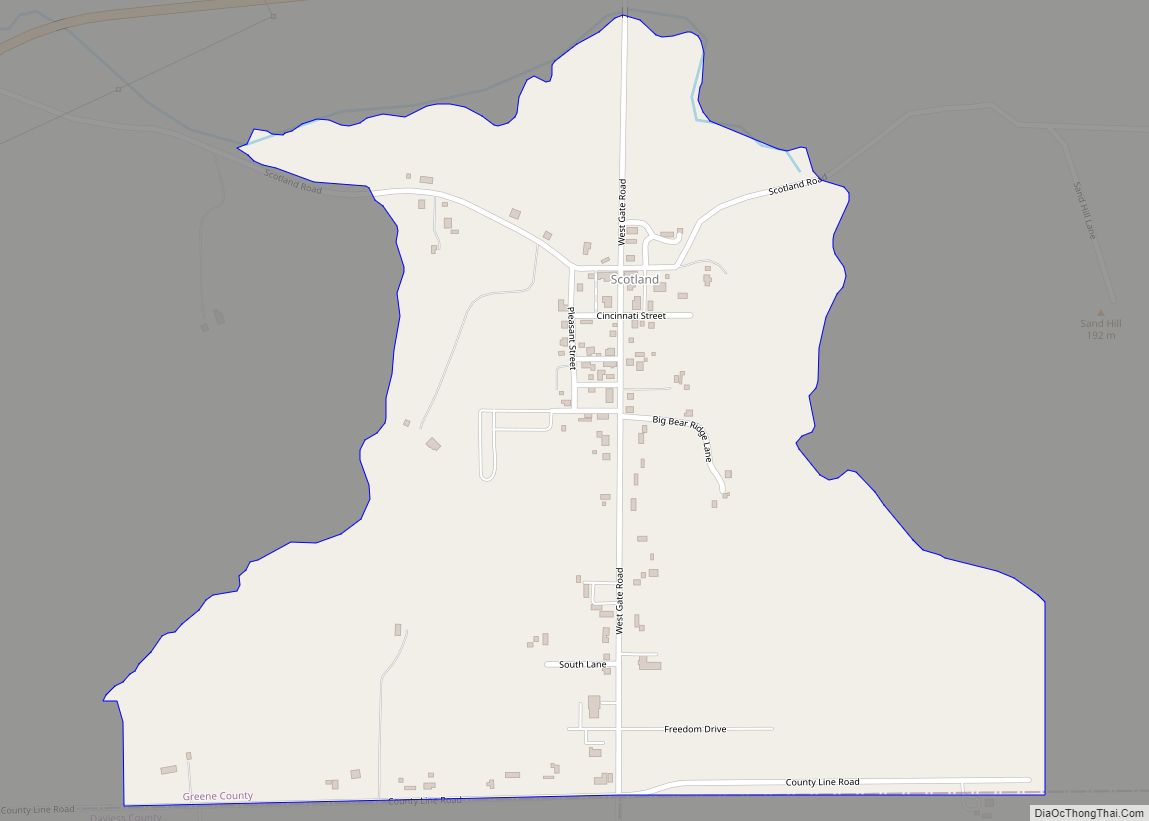
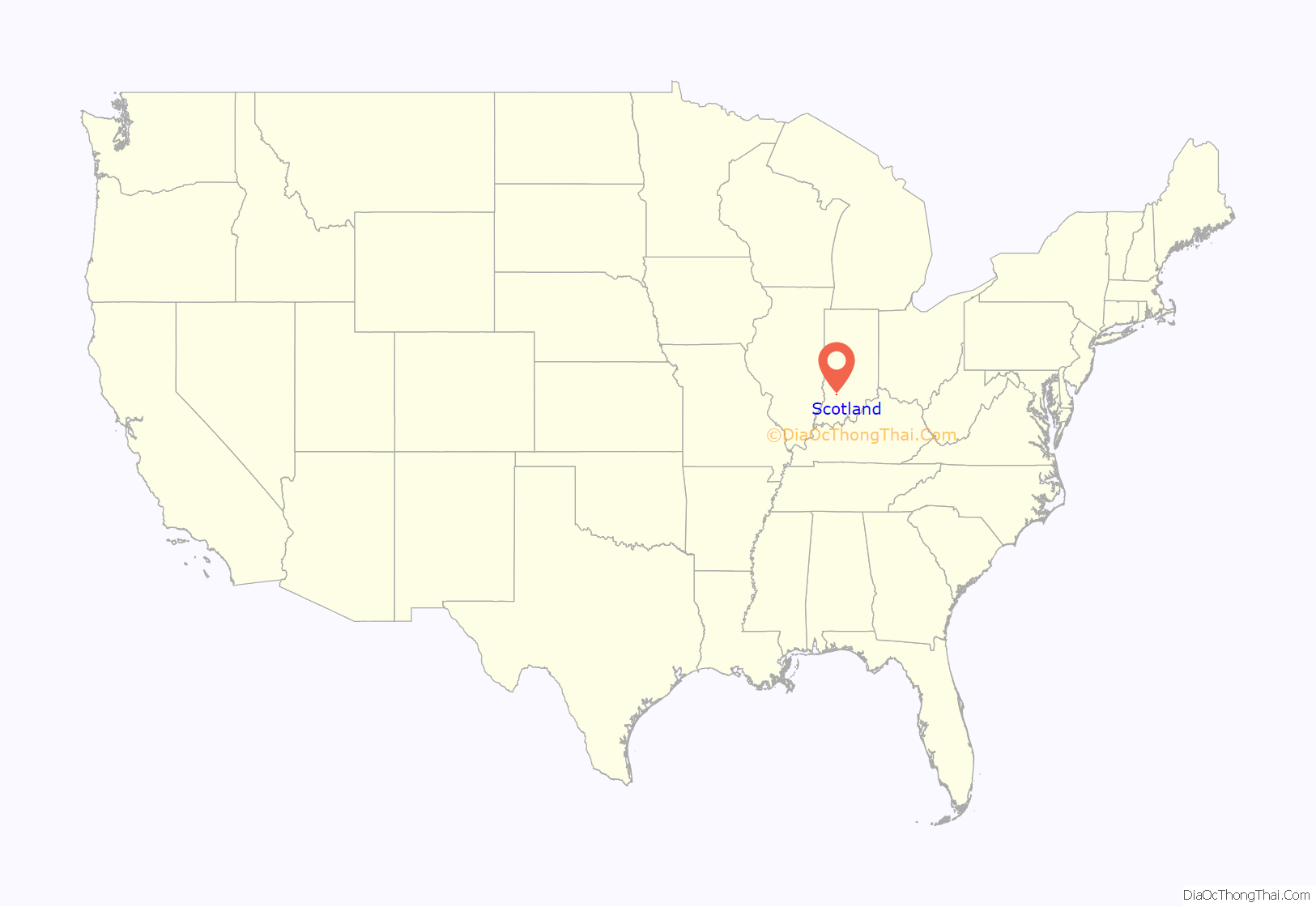
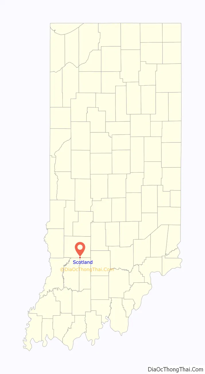
Scotland location map. Where is Scotland CDP?
History
The Scotland post office was established in 1837. A majority of the early settlers were natives of the country of Scotland.
The Scotland Hotel was listed on the National Register of Historic Places in 1993.
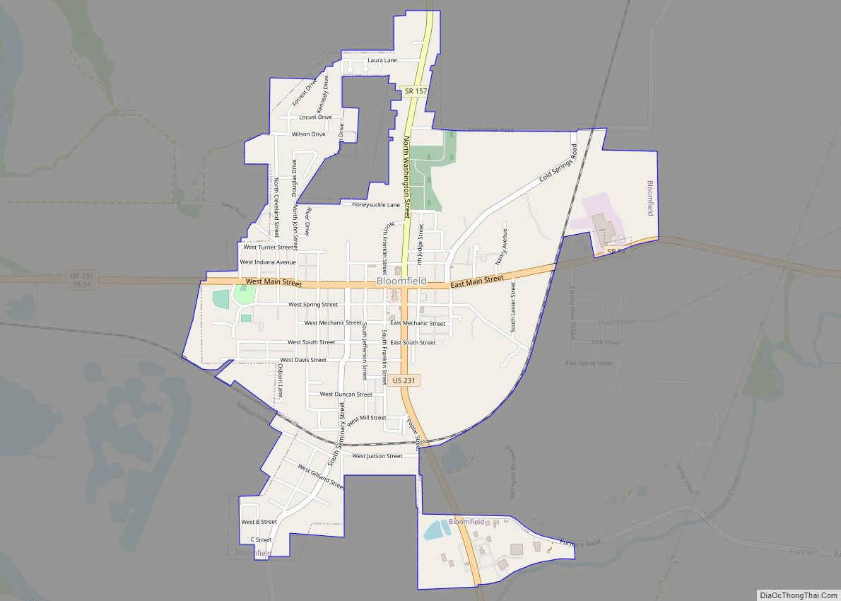
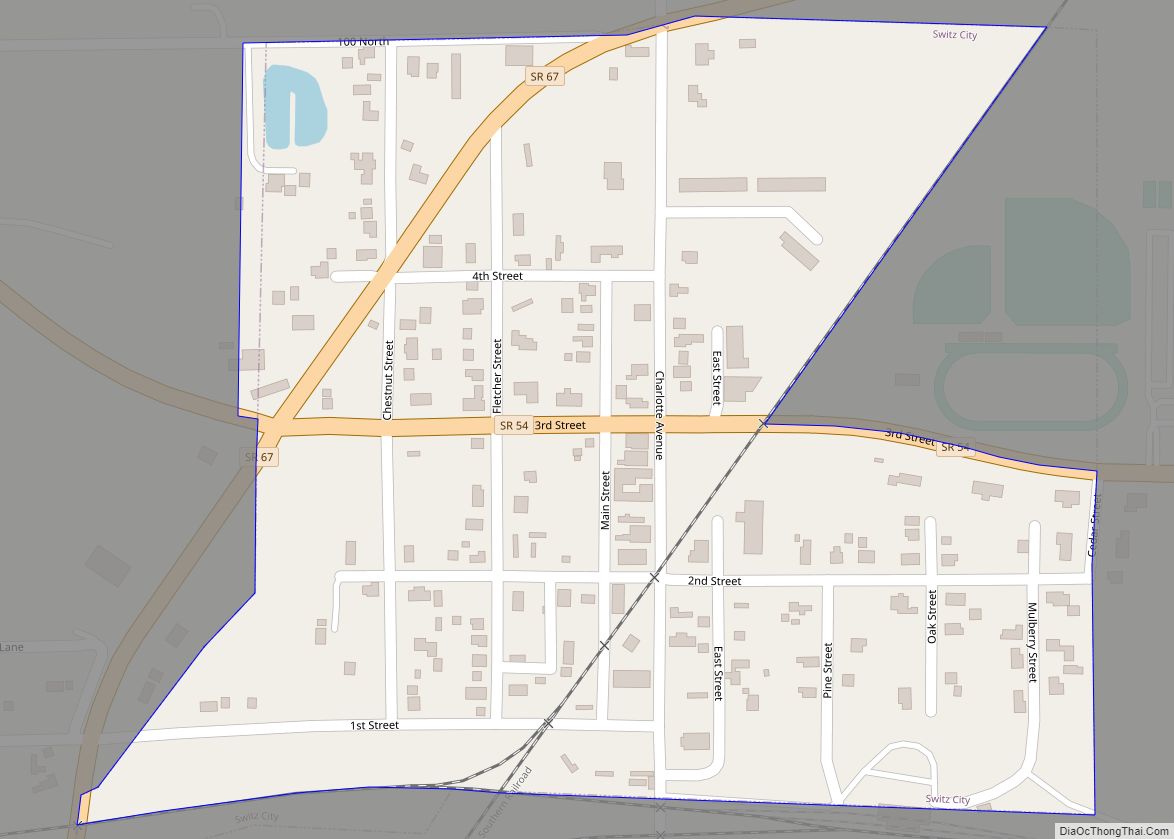
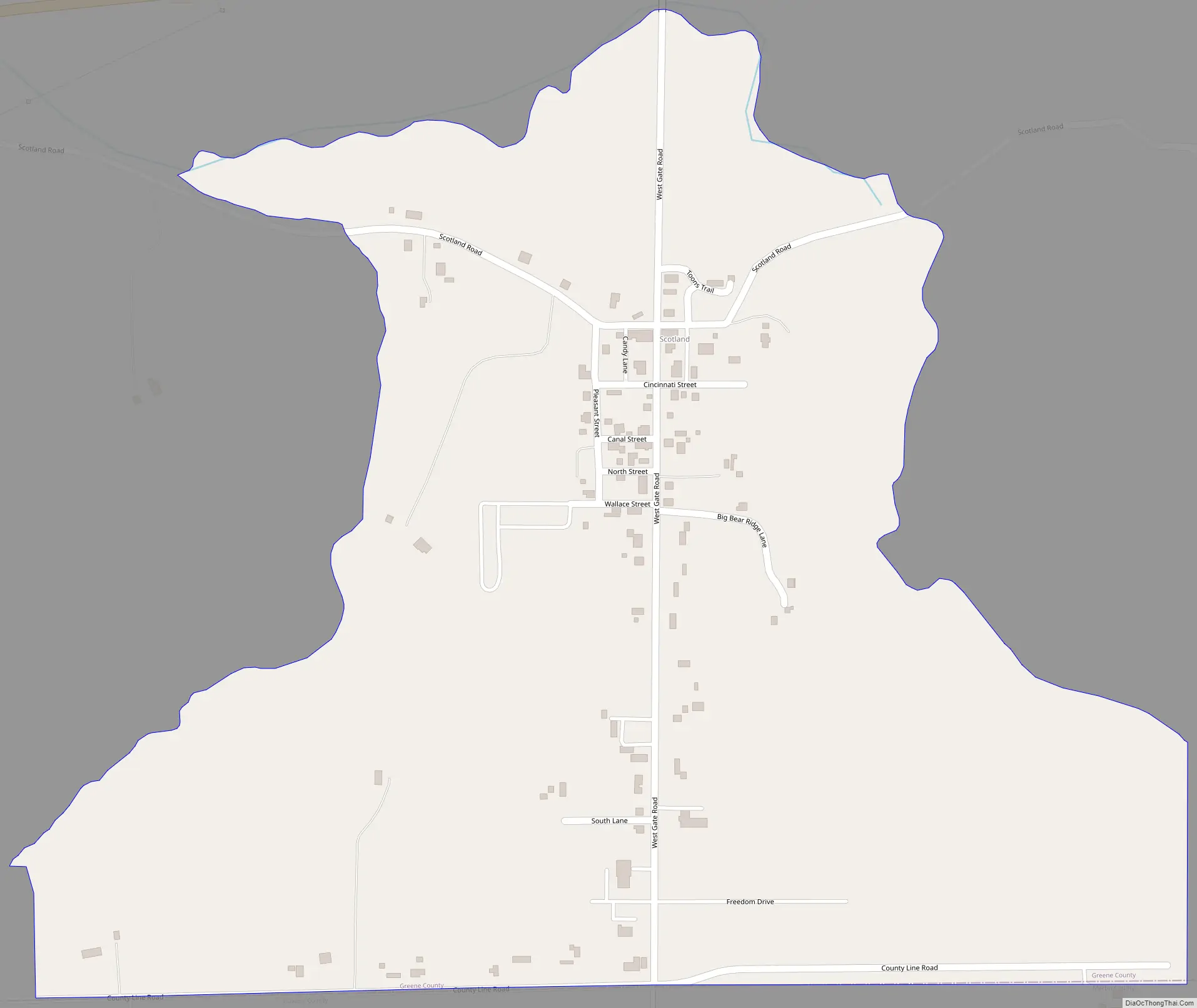
Scotland Road Map
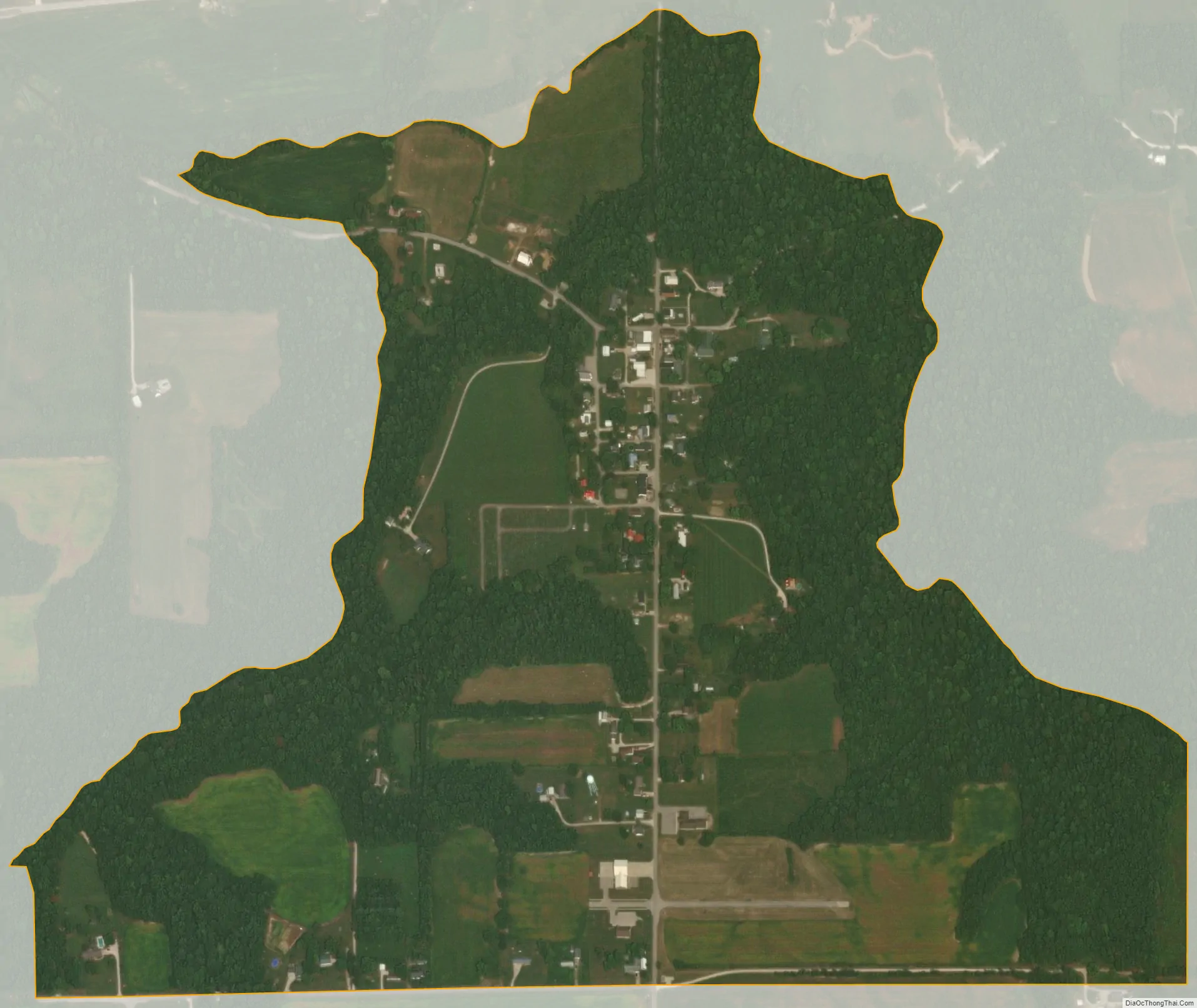
Scotland city Satellite Map
Geography
Scotland is located in southern Greene County at 38°54′46″N 86°54′14″W / 38.91278°N 86.90389°W / 38.91278; -86.90389. The southern border of the CDP follows the Martin and Daviess county lines. State Roads 45 and 58 pass just north of the community and intersect U.S. Route 231 at Interstate 69 1 mile (1.6 km) west of the community. Owensburg is 10 miles (16 km) to the east, Bloomfield (the Greene County seat) is 9 miles (14 km) to the north, and Loogootee is 17 miles (27 km) to the south. I-69 leads northeast 33 miles (53 km) to Bloomington and southwest 28 miles (45 km) to Washington.
According to the U.S. Census Bureau, the Scotland CDP has a total area of 0.58 square miles (1.5 km), all of it land. It is situated on high ground to the south of Doans Creek, a west-flowing tributary of the White River and part of the Wabash River watershed.
See also
Map of Indiana State and its subdivision:- Adams
- Allen
- Bartholomew
- Benton
- Blackford
- Boone
- Brown
- Carroll
- Cass
- Clark
- Clay
- Clinton
- Crawford
- Daviess
- De Kalb
- Dearborn
- Decatur
- Delaware
- Dubois
- Elkhart
- Fayette
- Floyd
- Fountain
- Franklin
- Fulton
- Gibson
- Grant
- Greene
- Hamilton
- Hancock
- Harrison
- Hendricks
- Henry
- Howard
- Huntington
- Jackson
- Jasper
- Jay
- Jefferson
- Jennings
- Johnson
- Knox
- Kosciusko
- LaGrange
- Lake
- Lake Michigan
- LaPorte
- Lawrence
- Madison
- Marion
- Marshall
- Martin
- Miami
- Monroe
- Montgomery
- Morgan
- Newton
- Noble
- Ohio
- Orange
- Owen
- Parke
- Perry
- Pike
- Porter
- Posey
- Pulaski
- Putnam
- Randolph
- Ripley
- Rush
- Saint Joseph
- Scott
- Shelby
- Spencer
- Starke
- Steuben
- Sullivan
- Switzerland
- Tippecanoe
- Tipton
- Union
- Vanderburgh
- Vermillion
- Vigo
- Wabash
- Warren
- Warrick
- Washington
- Wayne
- Wells
- White
- Whitley
- Alabama
- Alaska
- Arizona
- Arkansas
- California
- Colorado
- Connecticut
- Delaware
- District of Columbia
- Florida
- Georgia
- Hawaii
- Idaho
- Illinois
- Indiana
- Iowa
- Kansas
- Kentucky
- Louisiana
- Maine
- Maryland
- Massachusetts
- Michigan
- Minnesota
- Mississippi
- Missouri
- Montana
- Nebraska
- Nevada
- New Hampshire
- New Jersey
- New Mexico
- New York
- North Carolina
- North Dakota
- Ohio
- Oklahoma
- Oregon
- Pennsylvania
- Rhode Island
- South Carolina
- South Dakota
- Tennessee
- Texas
- Utah
- Vermont
- Virginia
- Washington
- West Virginia
- Wisconsin
- Wyoming