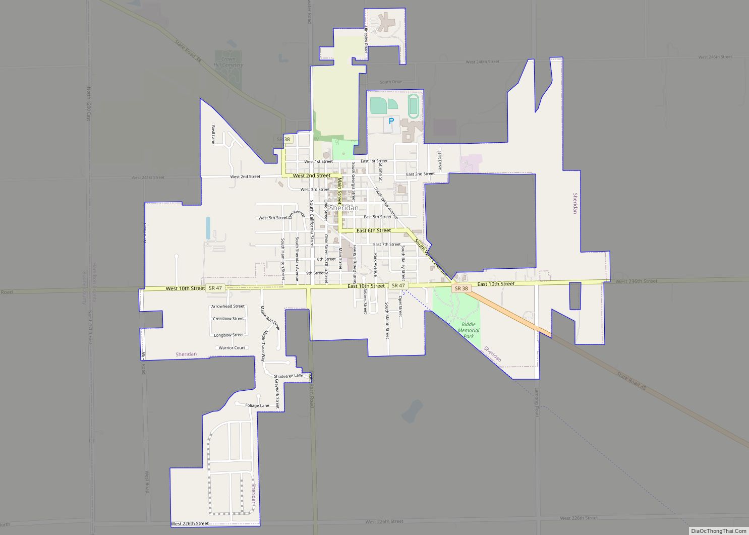
Sheridan is a town in Adams Township, Hamilton County, Indiana, United States. The population was 2,665 at the 2010 census. The center of population of Indiana is located just northwest of Sheridan. Sheridan town overview: Name: Sheridan town LSAD Code: 43 LSAD Description: town (suffix) State: Indiana County: Hamilton County Elevation: 951 ft (290 m) Total Area: ... Read more
Indiana Cities and Places
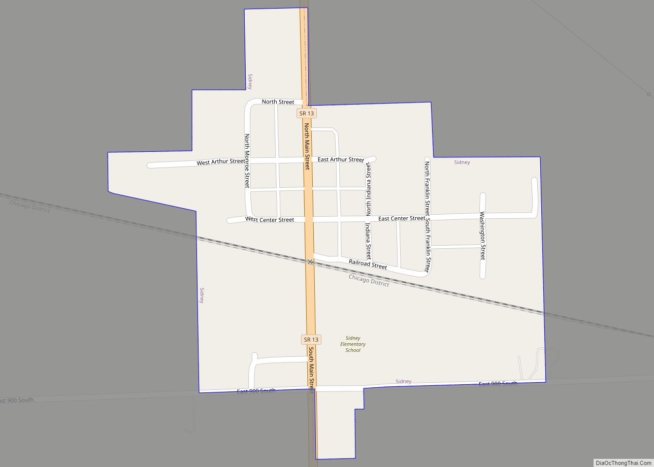
Sidney is a town in Jackson Township, Kosciusko County, in the U.S. state of Indiana. The population was 83 at the 2010 census. Sidney town overview: Name: Sidney town LSAD Code: 43 LSAD Description: town (suffix) State: Indiana County: Kosciusko County Elevation: 915 ft (279 m) Total Area: 0.13 sq mi (0.33 km²) Land Area: 0.13 sq mi (0.32 km²) Water Area: 0.01 sq mi ... Read more
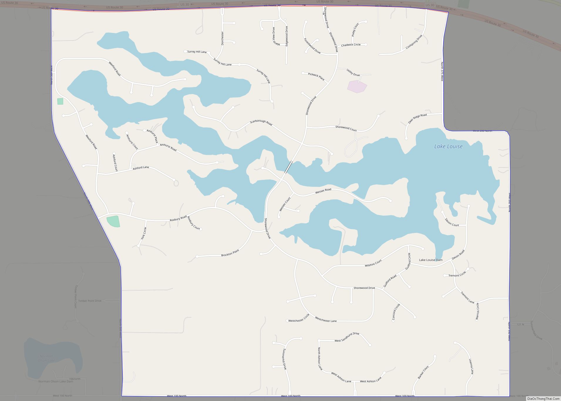
Shorewood Forest is a census-designated place (CDP) in Union Township, Porter County, in the U.S. state of Indiana. The community centers on Lake Louise, an artificial water body. The population of the CDP was 2,708 at the 2010 census. Shorewood Forest CDP overview: Name: Shorewood Forest CDP LSAD Code: 57 LSAD Description: CDP (suffix) State: ... Read more
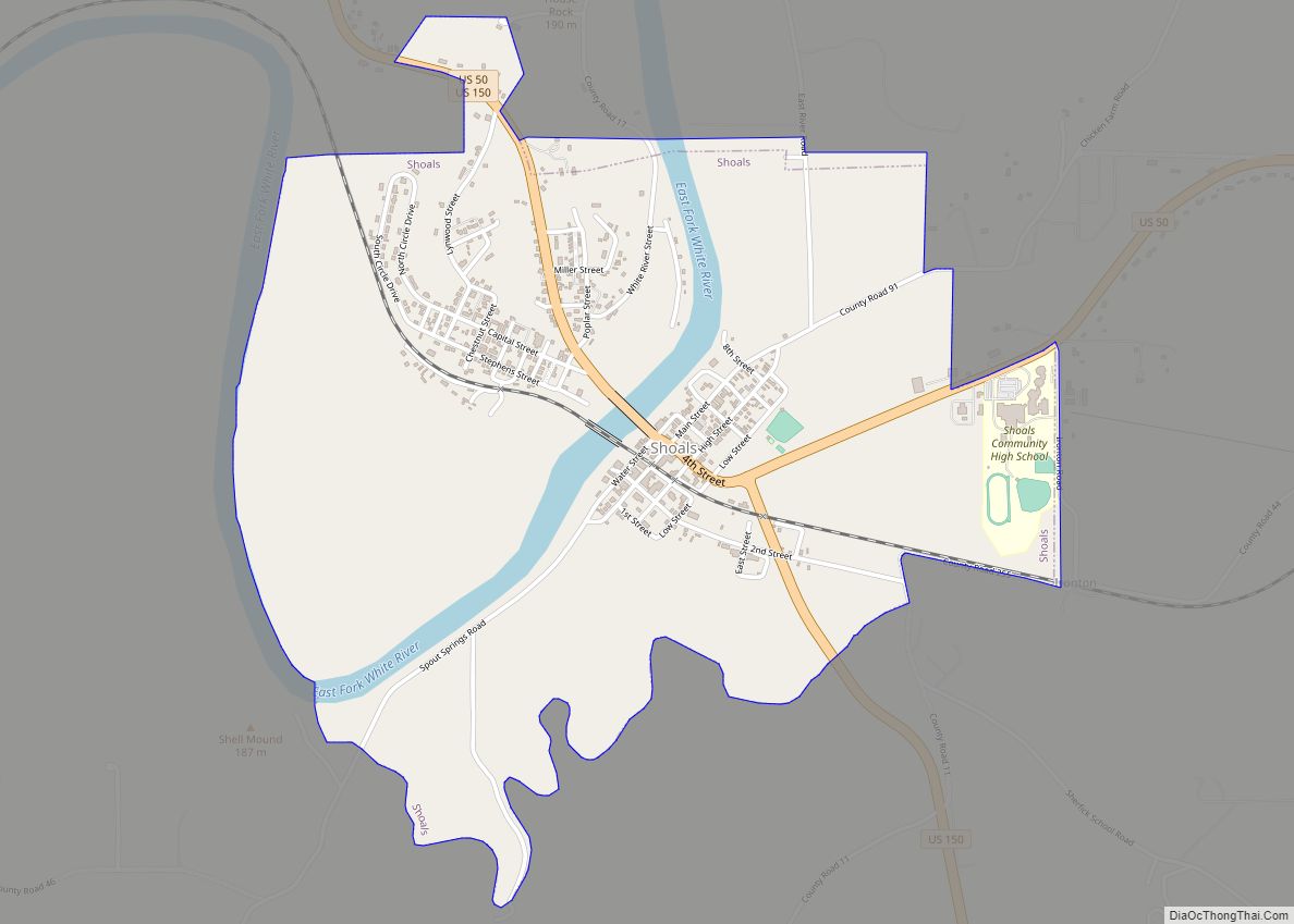
Shoals is a town in Center and Halbert townships and the county seat of Martin County, in the U.S. state of Indiana. The population was 677 at the 2020 census, down from 756 in 2010. The Shoals community is best known for the Jug Rock, the only free-standing table rock formation east of the Mississippi ... Read more
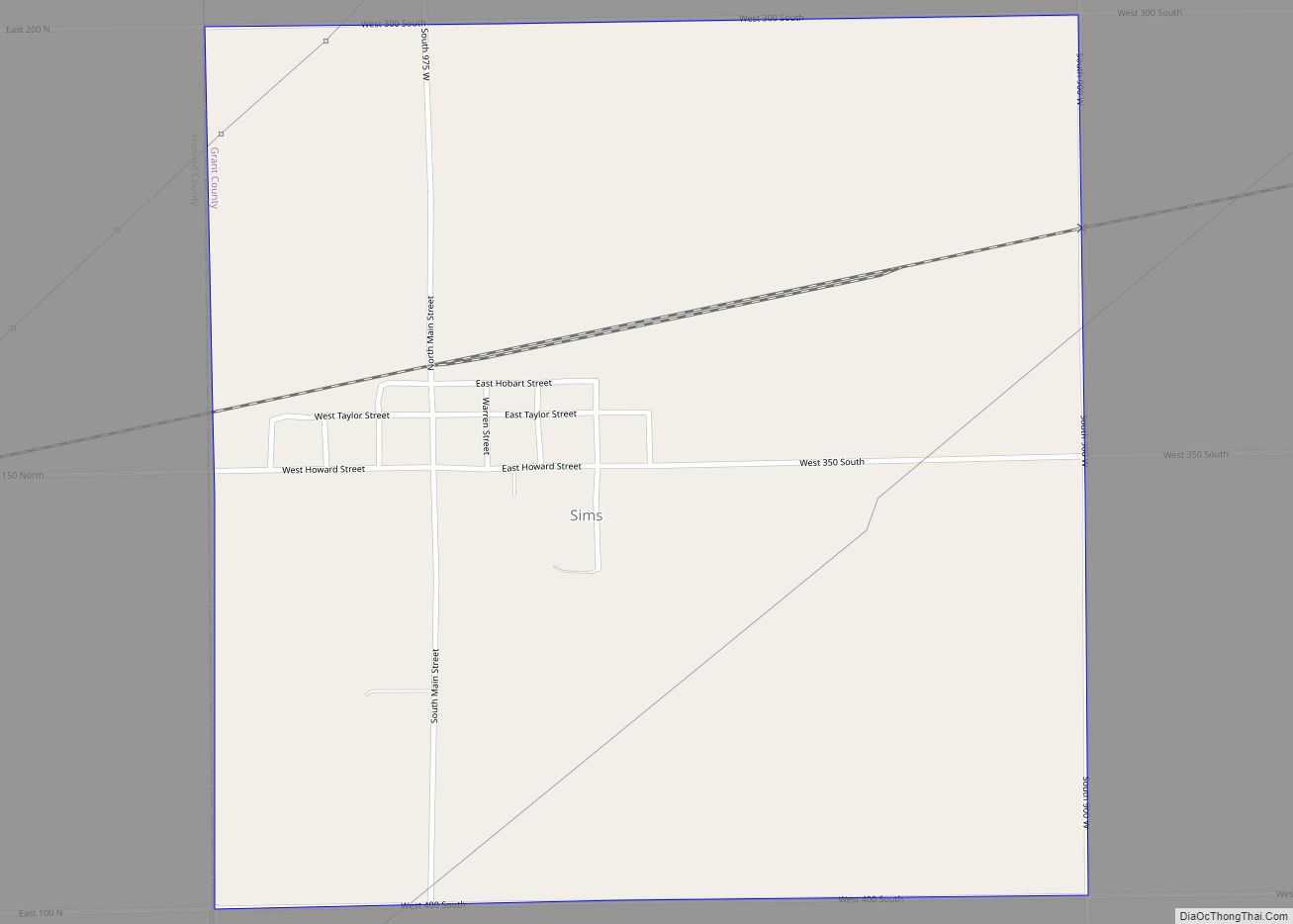
Sims is an unincorporated community and census-designated place (CDP) in Sims Township, Grant County, Indiana. In 2010 it had a population of 156. Sims CDP overview: Name: Sims CDP LSAD Code: 57 LSAD Description: CDP (suffix) State: Indiana County: Grant County Elevation: 860 ft (260 m) Total Area: 1.00 sq mi (2.58 km²) Land Area: 1.00 sq mi (2.58 km²) Water Area: 0.00 sq mi ... Read more
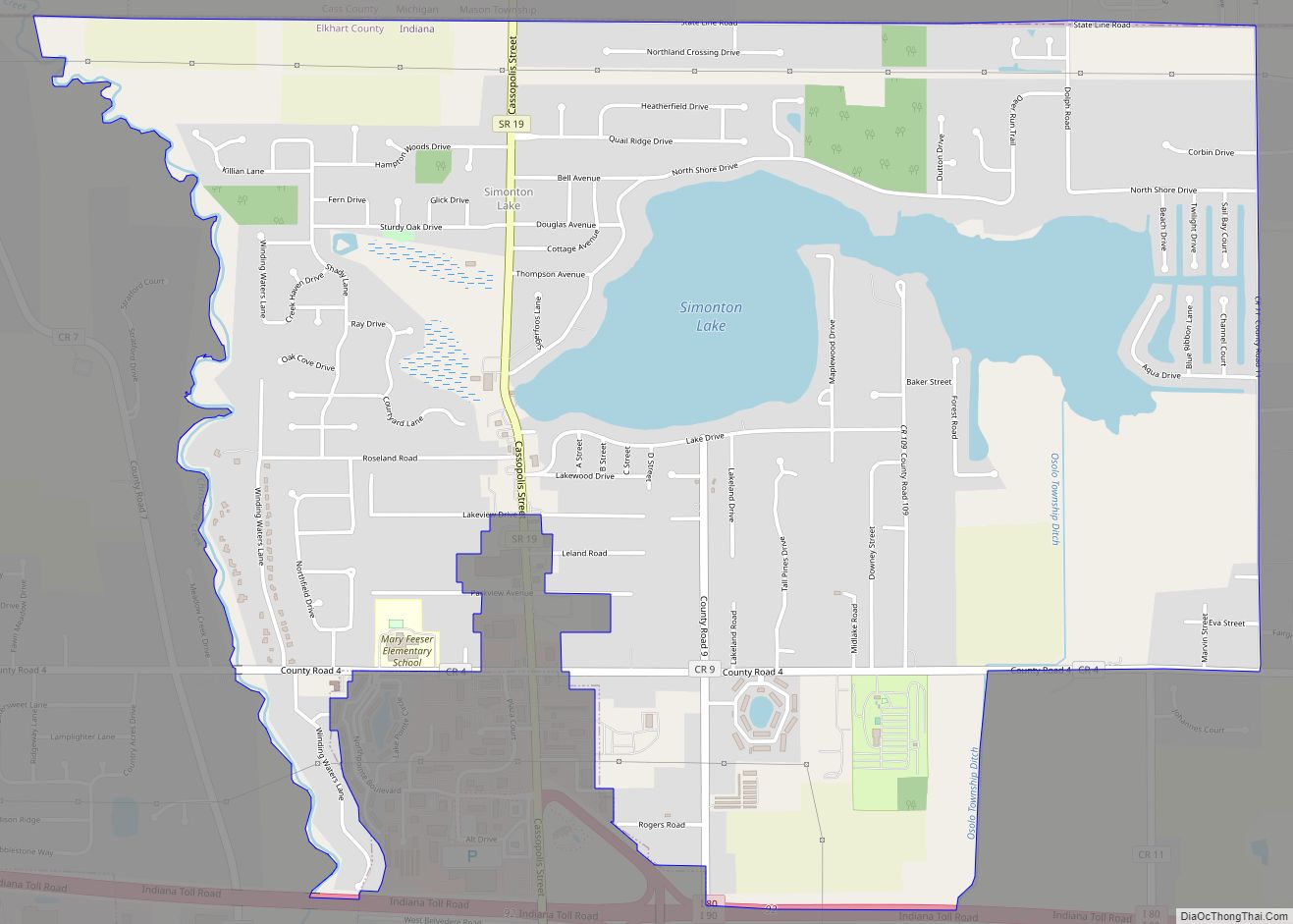
Simonton Lake is a census-designated place (CDP) in Elkhart County, Indiana, United States. The population was 4,678 at the 2010 census. Simonton Lake CDP overview: Name: Simonton Lake CDP LSAD Code: 57 LSAD Description: CDP (suffix) State: Indiana County: Elkhart County Elevation: 787 ft (240 m) Total Area: 3.98 sq mi (10.31 km²) Land Area: 3.51 sq mi (9.09 km²) Water Area: 0.47 sq mi ... Read more
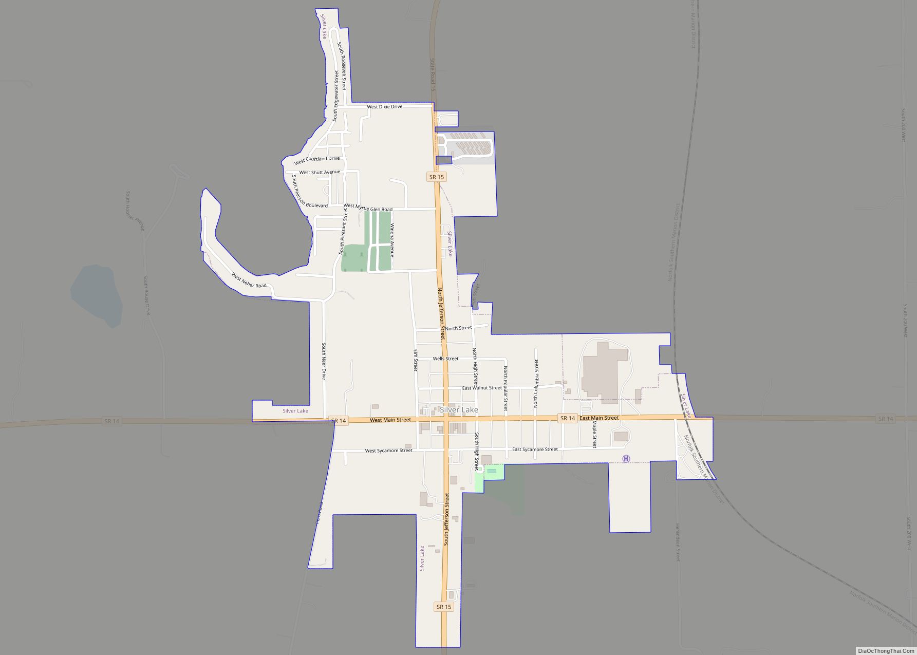
Silver Lake is a town in Lake Township, Kosciusko County, in the U.S. state of Indiana. The population was 915 at the 2010 census. Silver Lake town overview: Name: Silver Lake town LSAD Code: 43 LSAD Description: town (suffix) State: Indiana County: Kosciusko County Elevation: 906 ft (276 m) Total Area: 0.54 sq mi (1.39 km²) Land Area: 0.53 sq mi (1.38 km²) ... Read more
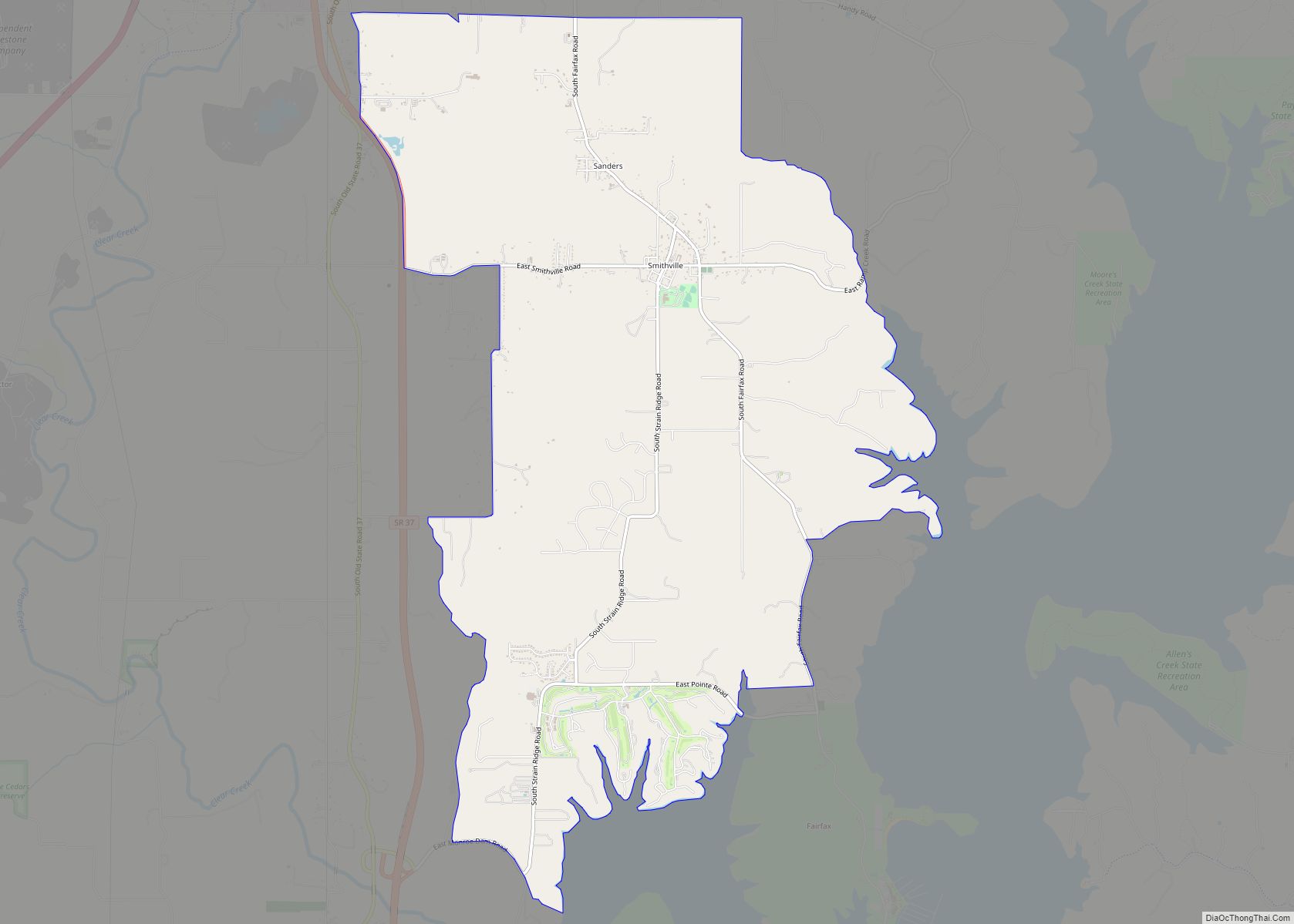
Smithville-Sanders is a census-designated place (CDP) encompassing the communities of Smithville and Sanders in Monroe County, Indiana, United States. Its population was 3,323 as of the 2020 census. Smithville-Sanders CDP overview: Name: Smithville-Sanders CDP LSAD Code: 57 LSAD Description: CDP (suffix) State: Indiana County: Monroe County Elevation: 715 ft (218 m) Total Area: 10.72 sq mi (27.76 km²) Land Area: ... Read more
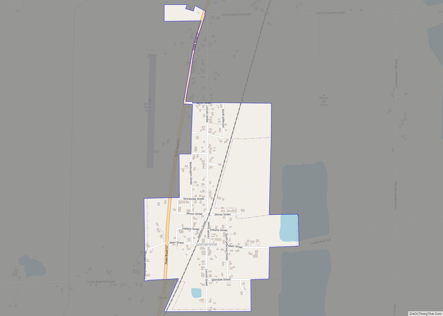
Somerville is a town in Barton Township, Gibson County, Indiana, United States. The population was 293 at the 2010 census, making it the third-smallest community in the county. Somerville town overview: Name: Somerville town LSAD Code: 43 LSAD Description: town (suffix) State: Indiana County: Gibson County Elevation: 482 ft (147 m) Total Area: 0.36 sq mi (0.93 km²) Land Area: ... Read more
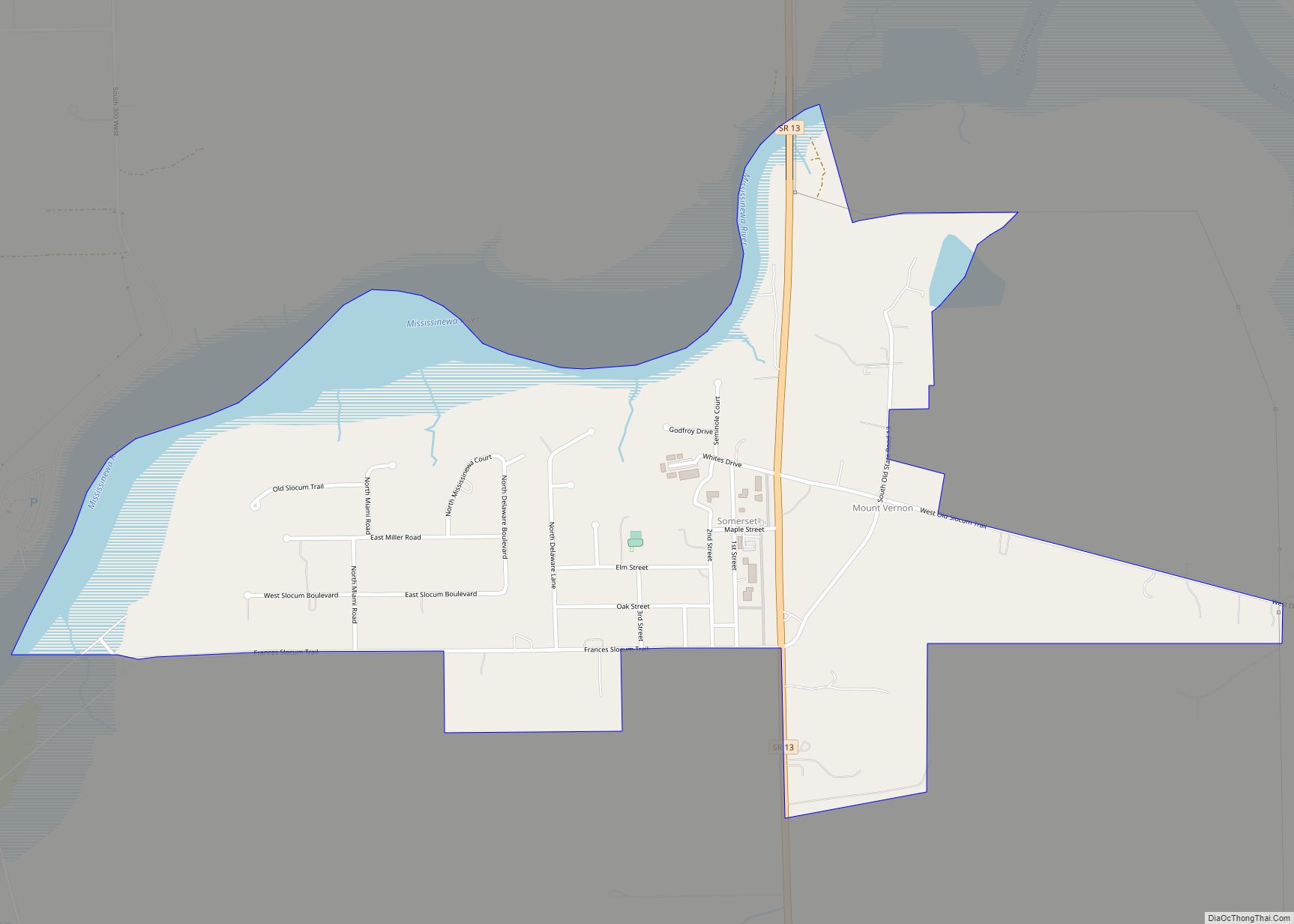
Somerset is an unincorporated census-designated place in Waltz Township, Wabash County, in the U.S. state of Indiana. Somerset CDP overview: Name: Somerset CDP LSAD Code: 57 LSAD Description: CDP (suffix) State: Indiana County: Wabash County Elevation: 810 ft (247 m) Total Area: 0.82 sq mi (2.13 km²) Land Area: 0.68 sq mi (1.76 km²) Water Area: 0.14 sq mi (0.37 km²) Total Population: 385 Population Density: ... Read more
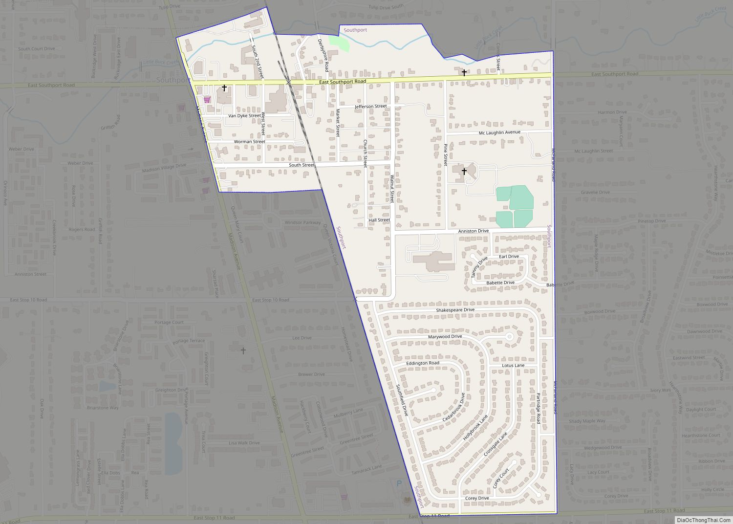
Southport is an excluded city in Marion County, Indiana, United States. The population was 2,123 at the 2020 census, up from 1,712 in 2010. Southport city overview: Name: Southport city LSAD Code: 25 LSAD Description: city (suffix) State: Indiana County: Marion County Elevation: 748 ft (228 m) Total Area: 0.63 sq mi (1.63 km²) Land Area: 0.63 sq mi (1.63 km²) Water Area: ... Read more
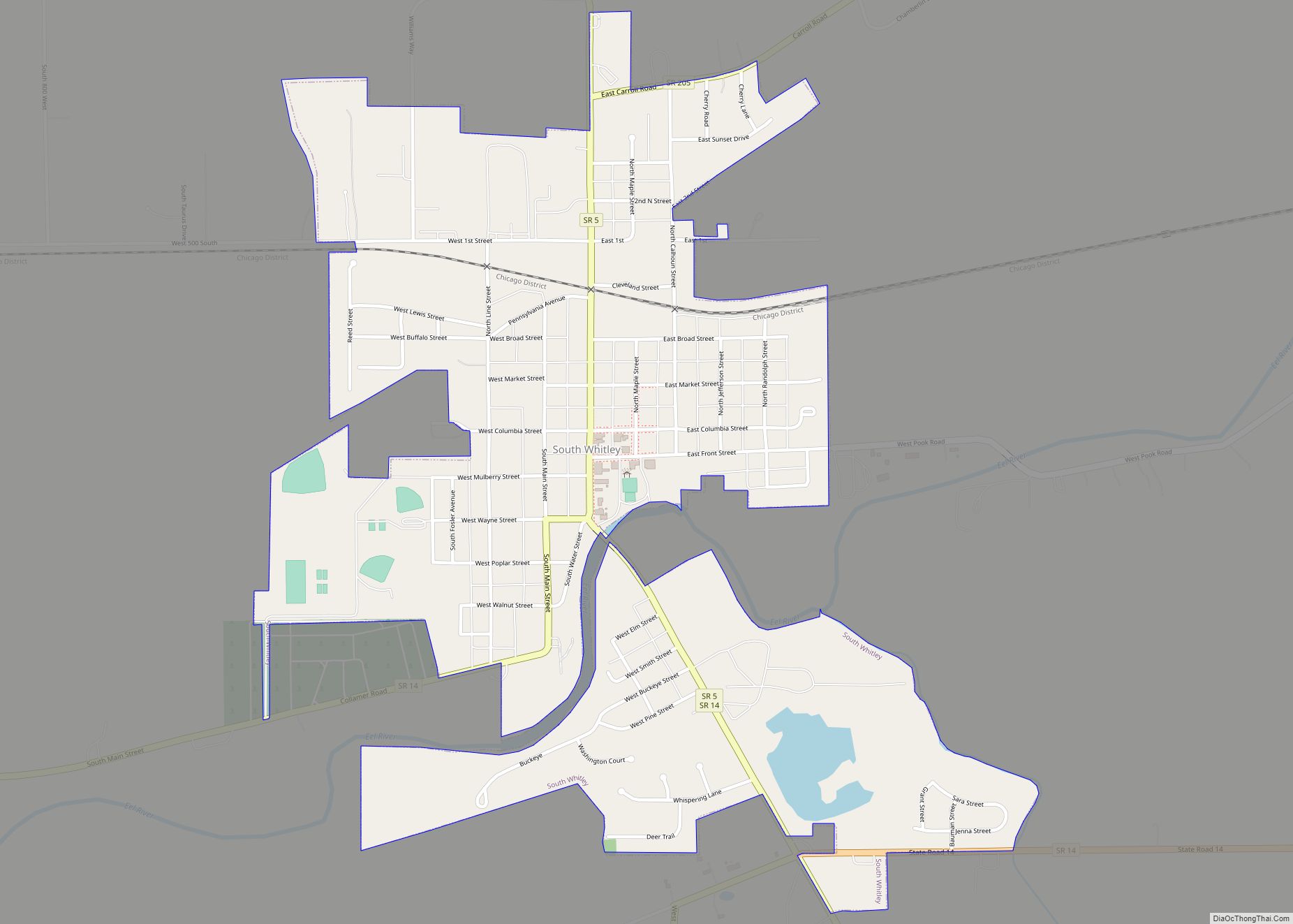
South Whitley is a town in Cleveland Township, Whitley County, in the U.S. state of Indiana. The population was 1,751 at the 2010 census. South Whitley is a town in the Midwestern tradition of red brick buildings and tree-lined streets. South Whitley town overview: Name: South Whitley town LSAD Code: 43 LSAD Description: town (suffix) ... Read more
