Somerville is a town in Barton Township, Gibson County, Indiana, United States. The population was 293 at the 2010 census, making it the third-smallest community in the county.
| Name: | Somerville town |
|---|---|
| LSAD Code: | 43 |
| LSAD Description: | town (suffix) |
| State: | Indiana |
| County: | Gibson County |
| Elevation: | 482 ft (147 m) |
| Total Area: | 0.36 sq mi (0.93 km²) |
| Land Area: | 0.36 sq mi (0.93 km²) |
| Water Area: | 0.00 sq mi (0.00 km²) |
| Total Population: | 253 |
| Population Density: | 708.68/sq mi (273.37/km²) |
| ZIP code: | 47683 |
| Area code: | 812, 930 |
| FIPS code: | 1870542 |
| GNISfeature ID: | 2397665 |
Online Interactive Map
Click on ![]() to view map in "full screen" mode.
to view map in "full screen" mode.
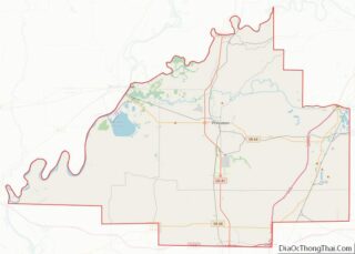
Somerville location map. Where is Somerville town?


History
Somerville was originally called Summittville, and under the latter name was laid out in 1853. The post office opened as Somerville in 1854.
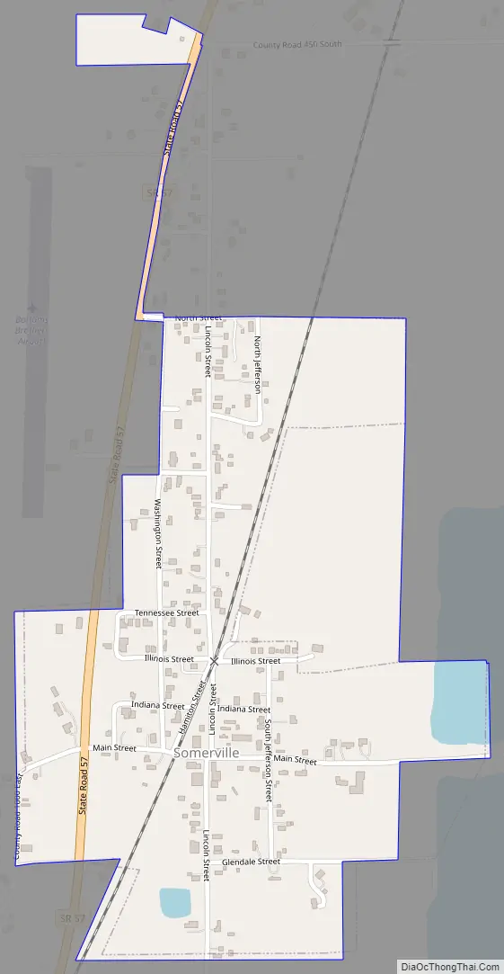
Somerville Road Map
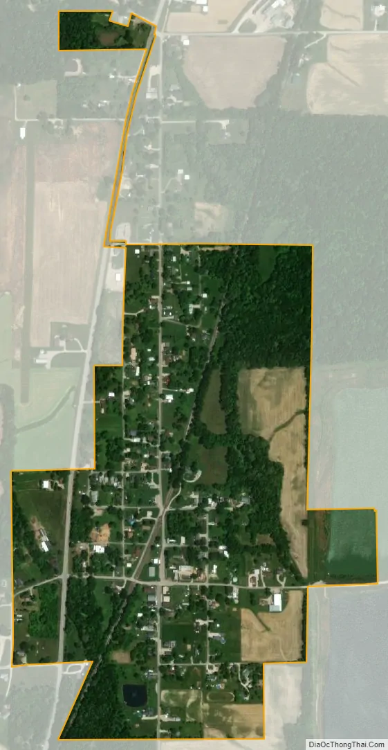
Somerville city Satellite Map
Geography
Somerville lies northeast of Evansville in eastern Gibson County. State Road 57 passes through Somerville, connecting the town with Oakland City to the northeast and Mackey to the southwest.
According to the 2010 census, Somerville has a total area of 0.312 square mile (0.81 km), of which 0.31 square mile (0.80 km) (or 99.36%) is land and 0.002 square mile (0.01 km) (or 0.64%) is water.
See also
Map of Indiana State and its subdivision:- Adams
- Allen
- Bartholomew
- Benton
- Blackford
- Boone
- Brown
- Carroll
- Cass
- Clark
- Clay
- Clinton
- Crawford
- Daviess
- De Kalb
- Dearborn
- Decatur
- Delaware
- Dubois
- Elkhart
- Fayette
- Floyd
- Fountain
- Franklin
- Fulton
- Gibson
- Grant
- Greene
- Hamilton
- Hancock
- Harrison
- Hendricks
- Henry
- Howard
- Huntington
- Jackson
- Jasper
- Jay
- Jefferson
- Jennings
- Johnson
- Knox
- Kosciusko
- LaGrange
- Lake
- Lake Michigan
- LaPorte
- Lawrence
- Madison
- Marion
- Marshall
- Martin
- Miami
- Monroe
- Montgomery
- Morgan
- Newton
- Noble
- Ohio
- Orange
- Owen
- Parke
- Perry
- Pike
- Porter
- Posey
- Pulaski
- Putnam
- Randolph
- Ripley
- Rush
- Saint Joseph
- Scott
- Shelby
- Spencer
- Starke
- Steuben
- Sullivan
- Switzerland
- Tippecanoe
- Tipton
- Union
- Vanderburgh
- Vermillion
- Vigo
- Wabash
- Warren
- Warrick
- Washington
- Wayne
- Wells
- White
- Whitley
- Alabama
- Alaska
- Arizona
- Arkansas
- California
- Colorado
- Connecticut
- Delaware
- District of Columbia
- Florida
- Georgia
- Hawaii
- Idaho
- Illinois
- Indiana
- Iowa
- Kansas
- Kentucky
- Louisiana
- Maine
- Maryland
- Massachusetts
- Michigan
- Minnesota
- Mississippi
- Missouri
- Montana
- Nebraska
- Nevada
- New Hampshire
- New Jersey
- New Mexico
- New York
- North Carolina
- North Dakota
- Ohio
- Oklahoma
- Oregon
- Pennsylvania
- Rhode Island
- South Carolina
- South Dakota
- Tennessee
- Texas
- Utah
- Vermont
- Virginia
- Washington
- West Virginia
- Wisconsin
- Wyoming