Shoals is a town in Center and Halbert townships and the county seat of Martin County, in the U.S. state of Indiana. The population was 677 at the 2020 census, down from 756 in 2010.
The Shoals community is best known for the Jug Rock, the only free-standing table rock formation east of the Mississippi River.
| Name: | Shoals town |
|---|---|
| LSAD Code: | 43 |
| LSAD Description: | town (suffix) |
| State: | Indiana |
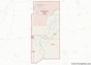
| County: | Martin County |
| Elevation: | 453 ft (138 m) |
| Total Area: | 1.92 sq mi (4.97 km²) |
| Land Area: | 1.82 sq mi (4.72 km²) |
| Water Area: | 0.10 sq mi (0.25 km²) |
| Total Population: | 677 |
| Population Density: | 371.16/sq mi (143.32/km²) |
| ZIP code: | 47581 |
| Area code: | 812, 930 |
| FIPS code: | 1869552 |
| GNISfeature ID: | 2397661 |
| Website: | townofshoals.com |
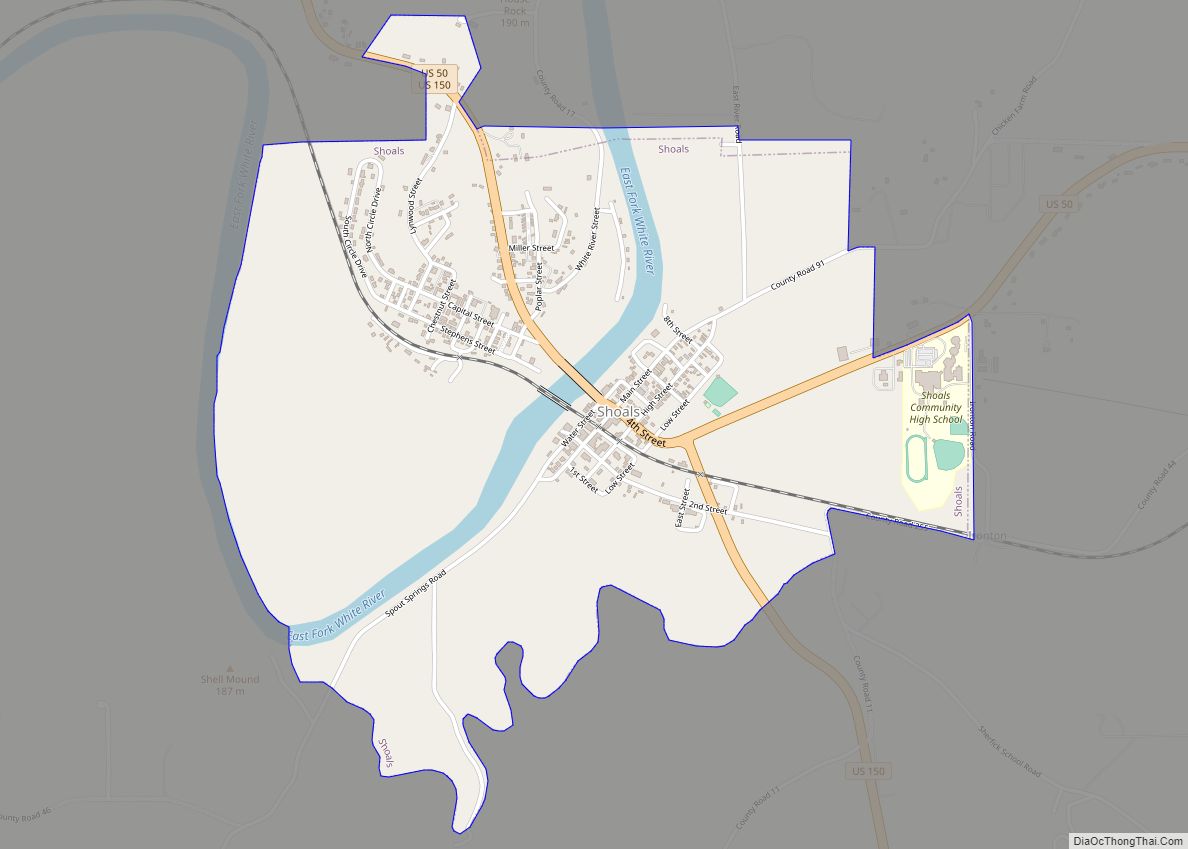
Online Interactive Map
Click on ![]() to view map in "full screen" mode.
to view map in "full screen" mode.
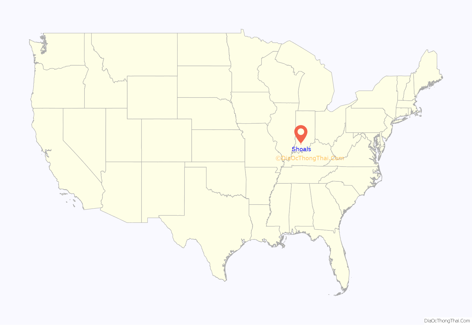
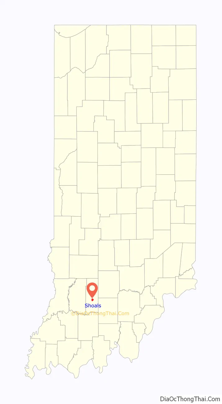
Shoals location map. Where is Shoals town?
History
Shoals was originally called “Memphis”, and under the latter name was platted in 1844. The post office at Shoals has been in operation since 1869.
A lynching took place at the county courthouse and jail. The Archer boys were accused of torturing and killing a local farmer and were hung from trees in front of the jail in 1886.
Shoals is known for making mother of pearl buttons during the early 20th century. They were made out of mussels from the White River.
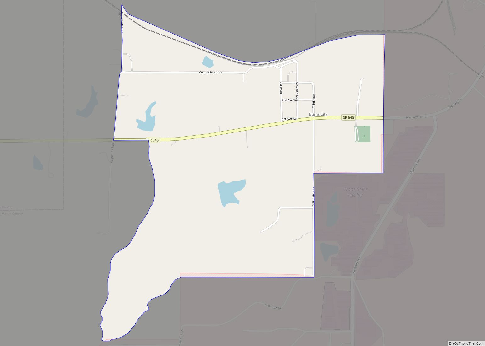
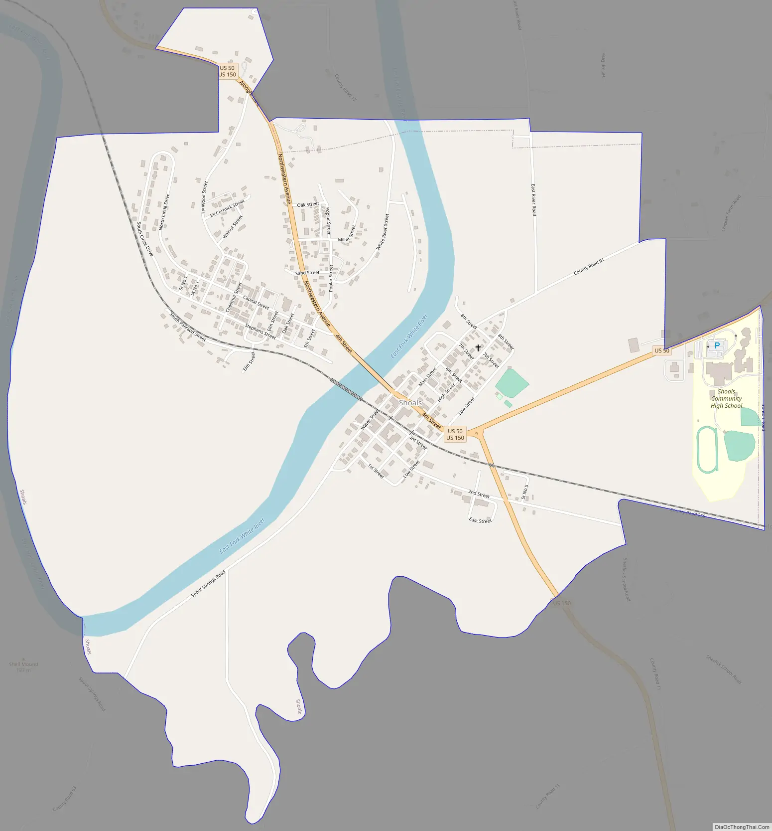
Shoals Road Map
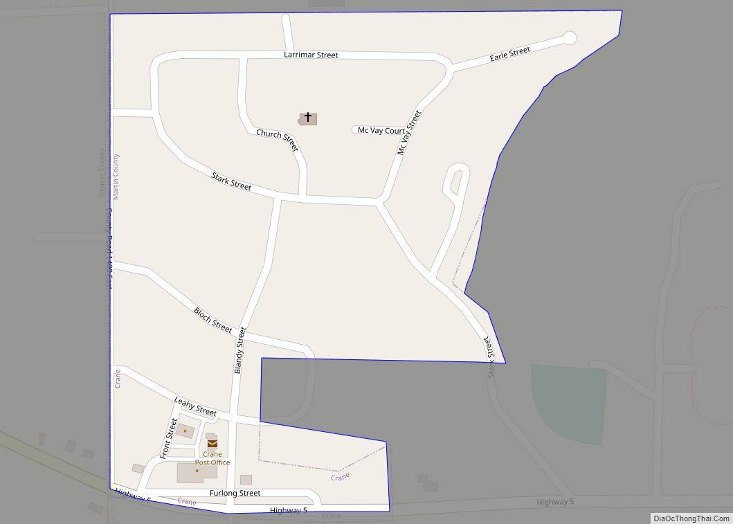
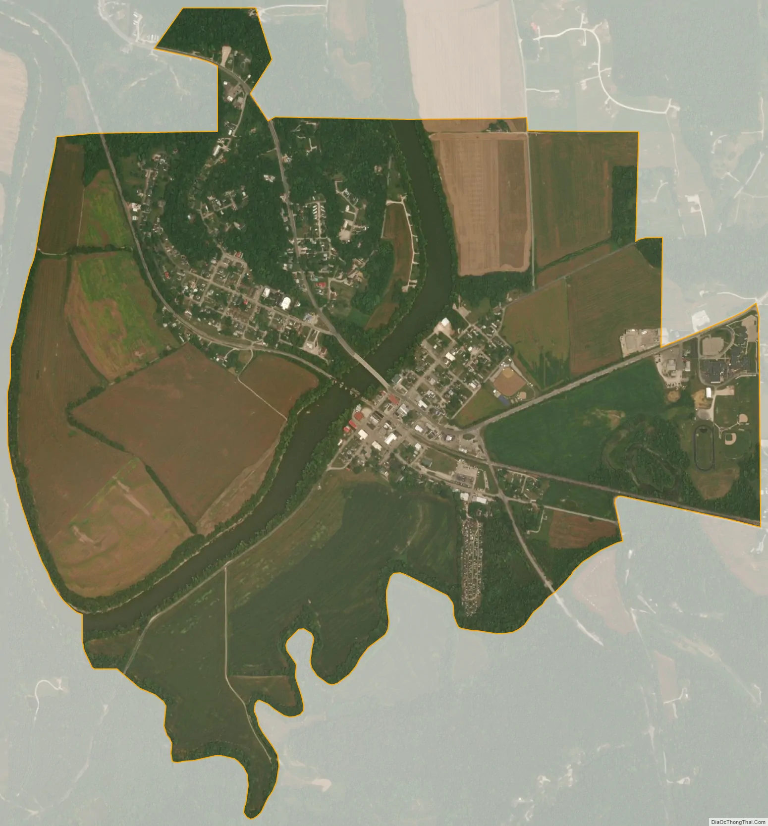
Shoals city Satellite Map
Geography
Shoals is located south of the center of Martin County. The East Fork of the White River flows through the center of town, running south and west to join the White River northeast of Petersburg.
U.S. Routes 50 and 150 pass through the center of Shoals as 4th Street, leading west 7 miles (11 km) to Loogootee, the only city in the county. US 50 leads northeast 24 miles (39 km) to Bedford, while US 150 leads southeast 22 miles (35 km) to Paoli.
According to the U.S. Census Bureau, Shoals has a total area of 1.92 square miles (4.97 km), of which 1.82 square miles (4.71 km) are land and 0.10 square miles (0.26 km), or 4.95%, are water.
Climate
The climate in this area is characterized by hot, humid summers and generally mild to cool winters. According to the Köppen Climate Classification system, Shoals has a humid subtropical climate, abbreviated “Cfa” on climate maps.
See also
Map of Indiana State and its subdivision:- Adams
- Allen
- Bartholomew
- Benton
- Blackford
- Boone
- Brown
- Carroll
- Cass
- Clark
- Clay
- Clinton
- Crawford
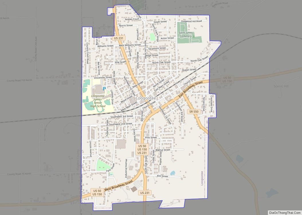
- Daviess
- De Kalb
- Dearborn
- Decatur
- Delaware
- Dubois
- Elkhart
- Fayette
- Floyd
- Fountain
- Franklin
- Fulton
- Gibson
- Grant
- Greene
- Hamilton
- Hancock
- Harrison
- Hendricks
- Henry
- Howard
- Huntington
- Jackson
- Jasper
- Jay
- Jefferson
- Jennings
- Johnson
- Knox
- Kosciusko
- LaGrange
- Lake
- Lake Michigan
- LaPorte
- Lawrence
- Madison
- Marion
- Marshall
- Martin
- Miami
- Monroe
- Montgomery
- Morgan
- Newton
- Noble
- Ohio
- Orange
- Owen
- Parke
- Perry
- Pike
- Porter
- Posey
- Pulaski
- Putnam
- Randolph
- Ripley
- Rush
- Saint Joseph
- Scott
- Shelby
- Spencer
- Starke
- Steuben
- Sullivan
- Switzerland
- Tippecanoe
- Tipton
- Union
- Vanderburgh
- Vermillion
- Vigo
- Wabash
- Warren
- Warrick
- Washington
- Wayne
- Wells
- White
- Whitley
- Alabama
- Alaska
- Arizona
- Arkansas
- California
- Colorado
- Connecticut
- Delaware
- District of Columbia
- Florida
- Georgia
- Hawaii
- Idaho
- Illinois
- Indiana
- Iowa
- Kansas
- Kentucky
- Louisiana
- Maine
- Maryland
- Massachusetts
- Michigan
- Minnesota
- Mississippi
- Missouri
- Montana
- Nebraska
- Nevada
- New Hampshire
- New Jersey
- New Mexico
- New York
- North Carolina
- North Dakota
- Ohio
- Oklahoma
- Oregon
- Pennsylvania
- Rhode Island
- South Carolina
- South Dakota
- Tennessee
- Texas
- Utah
- Vermont
- Virginia
- Washington
- West Virginia
- Wisconsin
- Wyoming