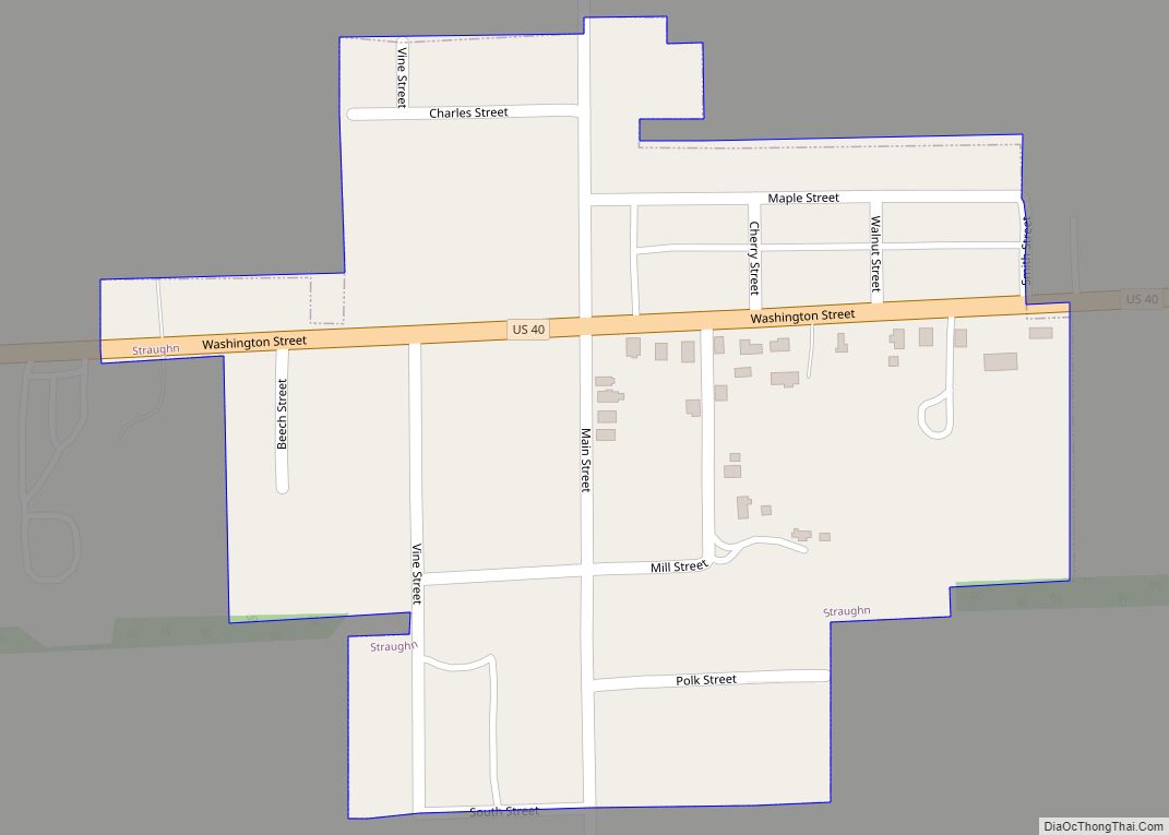
Straughn is a town in Dudley Township, Henry County, Indiana, United States. The population was 222 at the 2010 census. Straughn town overview: Name: Straughn town LSAD Code: 43 LSAD Description: town (suffix) State: Indiana County: Henry County Elevation: 1,096 ft (334 m) Total Area: 0.14 sq mi (0.37 km²) Land Area: 0.14 sq mi (0.37 km²) Water Area: 0.00 sq mi (0.00 km²) Total Population: ... Read more
Indiana Cities and Places
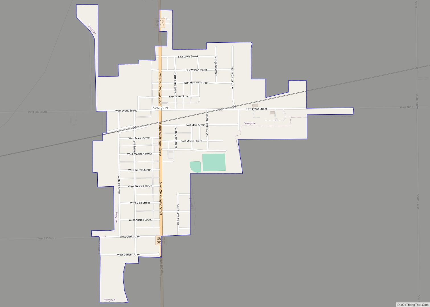
Swayzee is a town in Sims Township, Grant County, Indiana, United States. The population was 981 at the 2010 census. On its welcome sign, Swayzee claims to be “the only Swayzee in the world.” This motto is based on a story about a postcard sent by a serviceman overseas during World War II, which although ... Read more
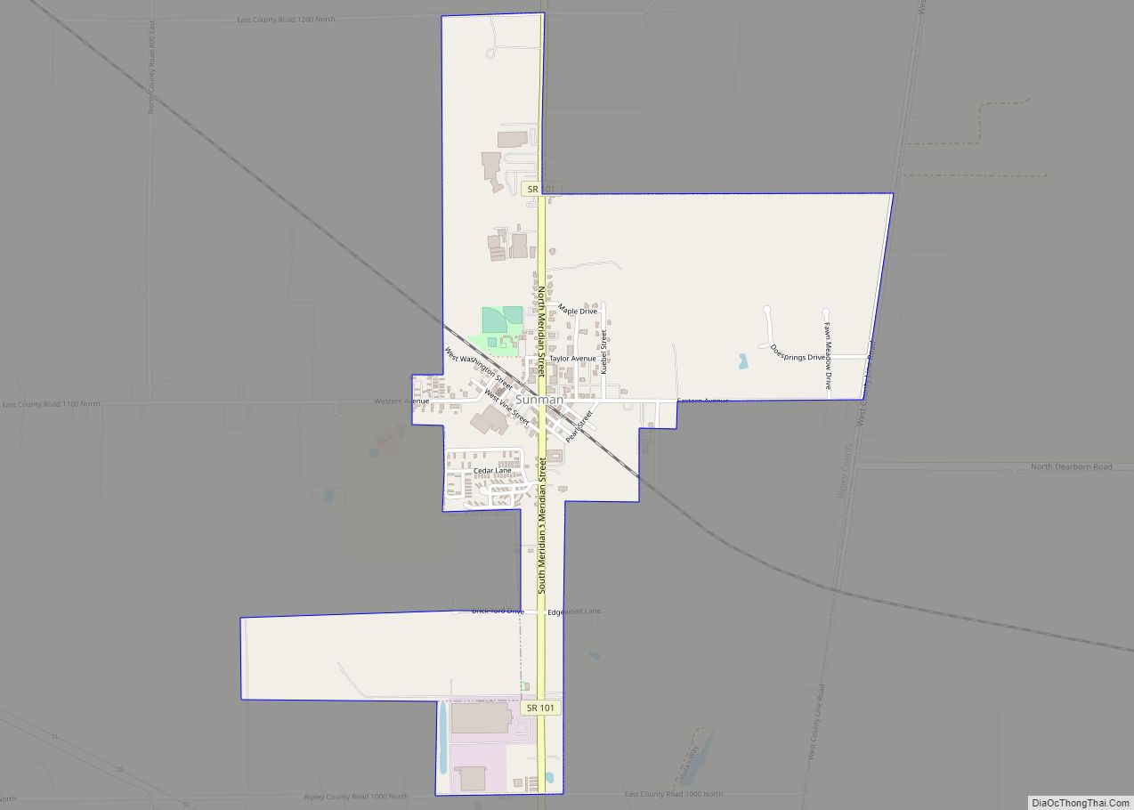
Sunman is a town in Adams Township, Ripley County, in the U.S. state of Indiana. The population was 1,049 at the 2010 census. Sunman town overview: Name: Sunman town LSAD Code: 43 LSAD Description: town (suffix) State: Indiana County: Ripley County Elevation: 1,020 ft (311 m) Total Area: 1.17 sq mi (3.03 km²) Land Area: 1.17 sq mi (3.03 km²) Water Area: 0.00 sq mi ... Read more
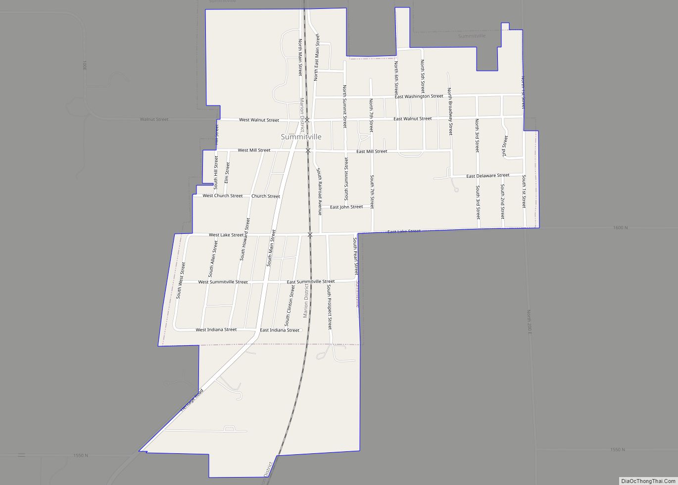
Summitville is a town in Van Buren Township, Madison County, Indiana, United States. It is part of the Indianapolis–Carmel–Anderson metropolitan statistical area. The population was 989 at the 2020 census. Summitville town overview: Name: Summitville town LSAD Code: 43 LSAD Description: town (suffix) State: Indiana County: Madison County Elevation: 883 ft (269 m) Total Area: 0.57 sq mi (1.47 km²) ... Read more
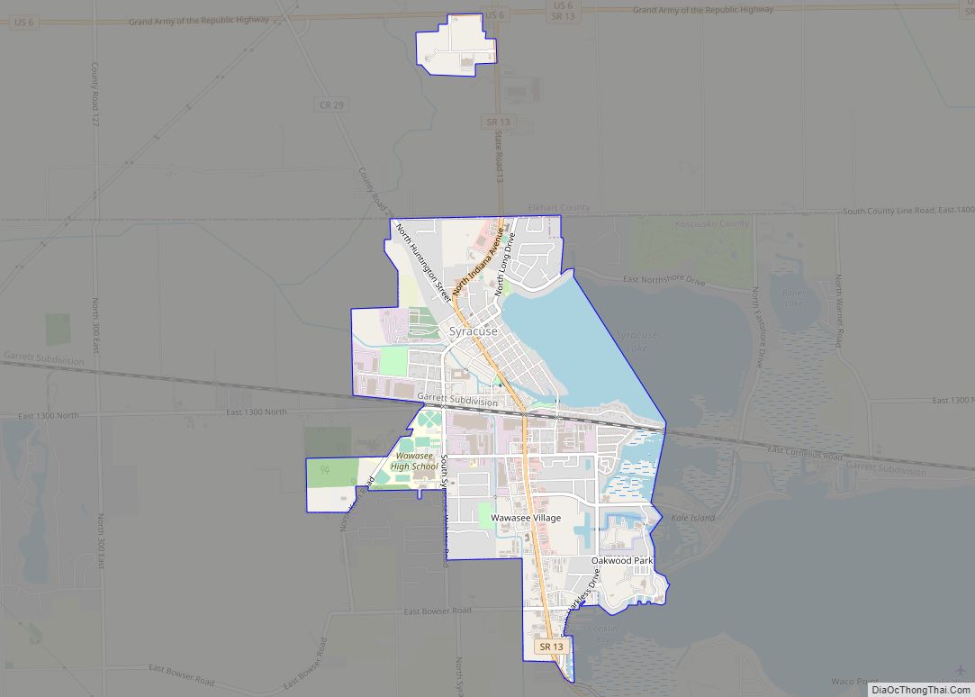
Syracuse is a town in Turkey Creek Township, Kosciusko County, in the U.S. state of Indiana. The population was 3,079 at the 2020 census. Syracuse is the location of Lake Syracuse and the nearby, larger Lake Wawasee, in addition to several other lakes in the region. The National Weather Service operates a Weather Forecast Office ... Read more
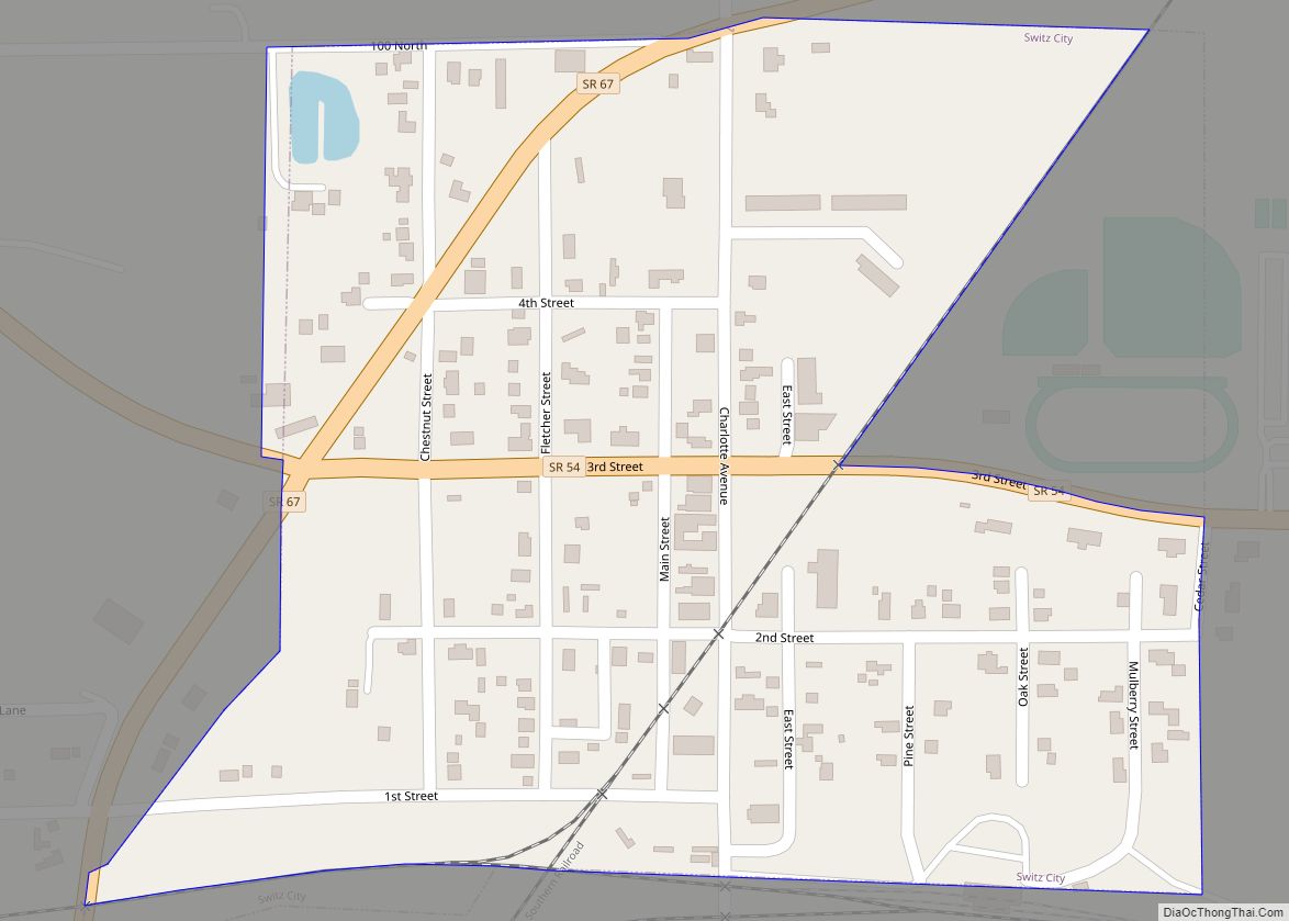
Switz City is a town in Fairplay and Grant townships, Greene County, Indiana, United States. The population was 293 at the 2010 census. It is part of the Bloomington, Indiana, Metropolitan Statistical Area. Switz City town overview: Name: Switz City town LSAD Code: 43 LSAD Description: town (suffix) State: Indiana County: Greene County Elevation: 620 ft ... Read more
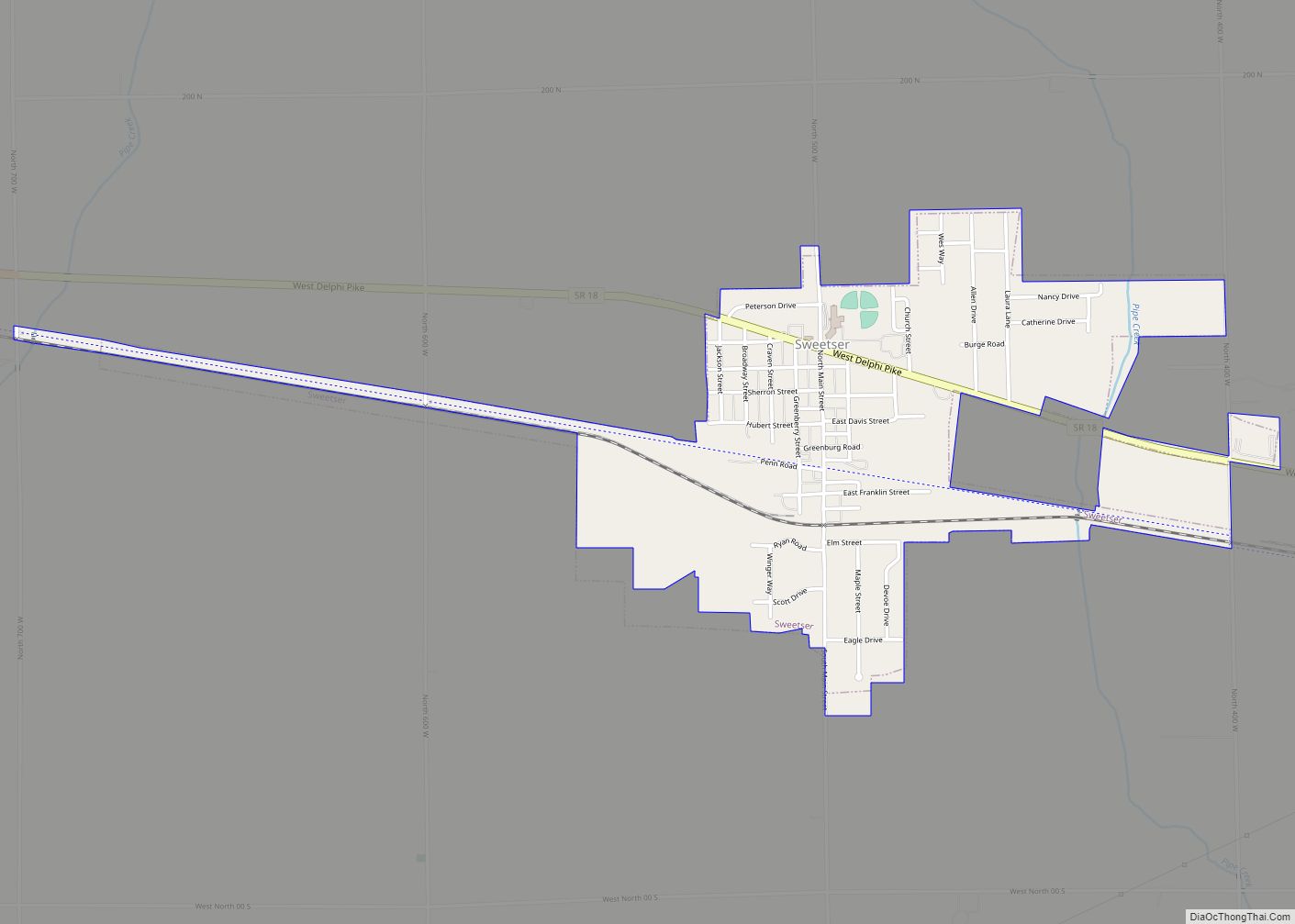
Sweetser is a town in Franklin, Pleasant and Richland townships, Grant County, Indiana, United States. The population was 1,229 at the 2010 census. Sweetser town overview: Name: Sweetser town LSAD Code: 43 LSAD Description: town (suffix) State: Indiana County: Grant County Elevation: 843 ft (257 m) Total Area: 1.01 sq mi (2.62 km²) Land Area: 1.01 sq mi (2.61 km²) Water Area: 0.00 sq mi ... Read more
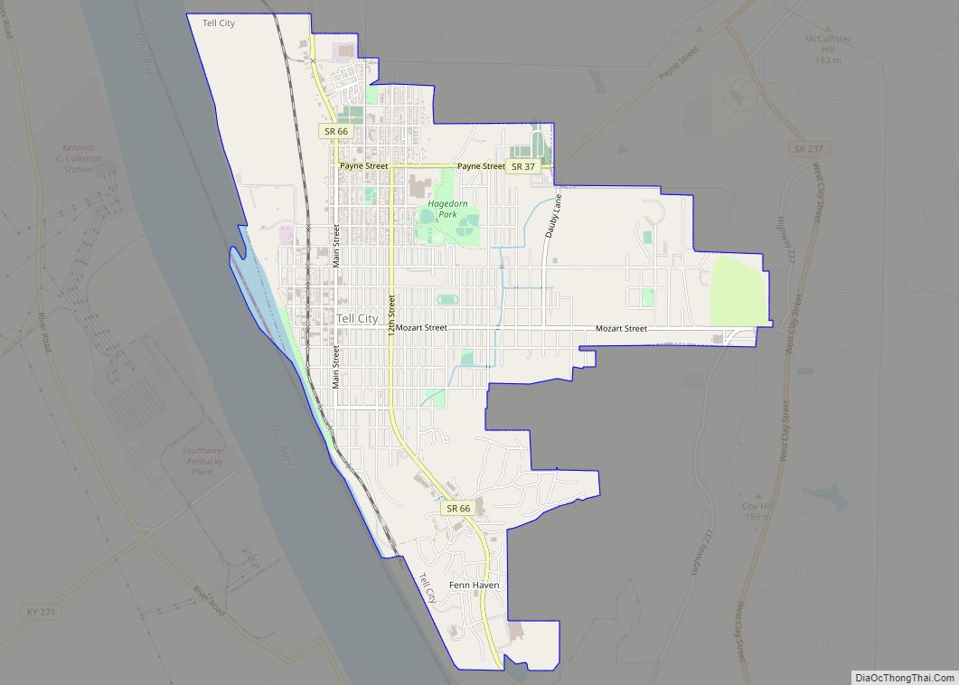
Tell City is a city in Troy Township, Perry County, in the U.S. state of Indiana. It is along the Ohio River. The population was 7,272 at the 2010 census. The city is the county seat of Perry County. Tell City city overview: Name: Tell City city LSAD Code: 25 LSAD Description: city (suffix) State: ... Read more
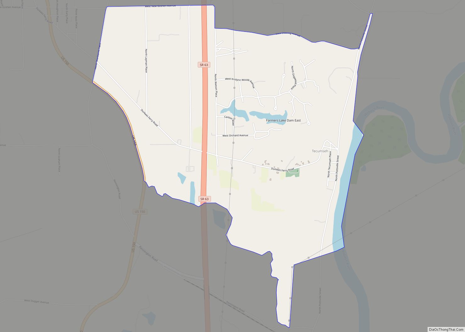
Tecumseh is an unincorporated census-designated place in eastern Fayette Township, Vigo County, in the U.S. state of Indiana. It is part of the Terre Haute metropolitan area. Tecumseh CDP overview: Name: Tecumseh CDP LSAD Code: 57 LSAD Description: CDP (suffix) State: Indiana County: Vigo County Elevation: 558 ft (170 m) Total Area: 3.55 sq mi (9.20 km²) Land Area: 3.48 sq mi ... Read more
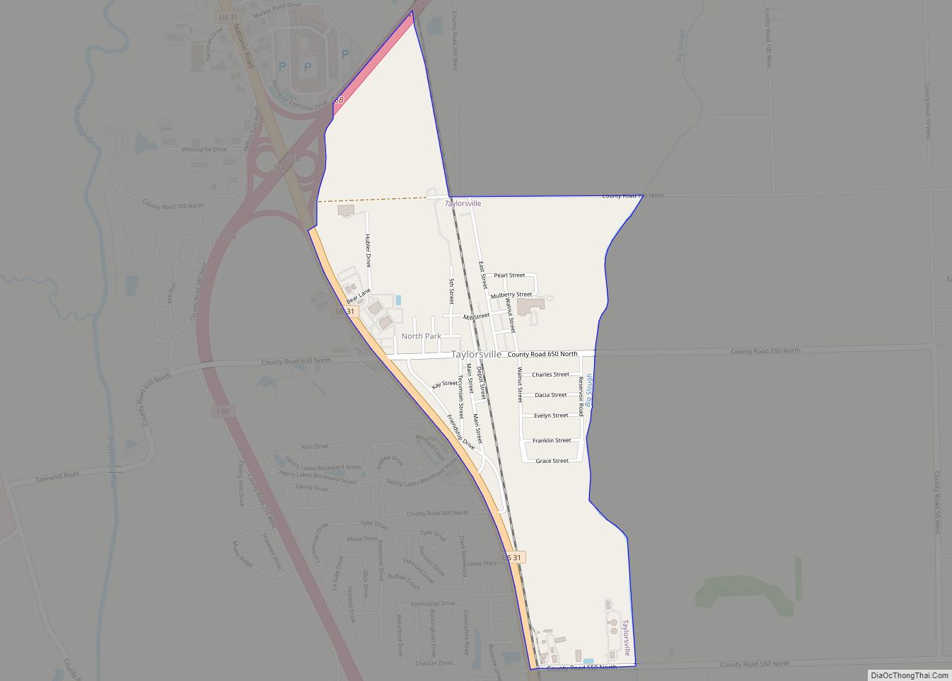
Taylorsville is a census-designated place (CDP) in German Township, Bartholomew County, in the U.S. state of Indiana. The population was 919 at the 2010 census. It is part of the Columbus, Indiana metropolitan statistical area. Taylorsville CDP overview: Name: Taylorsville CDP LSAD Code: 57 LSAD Description: CDP (suffix) State: Indiana County: Bartholomew County Elevation: 653 ft ... Read more
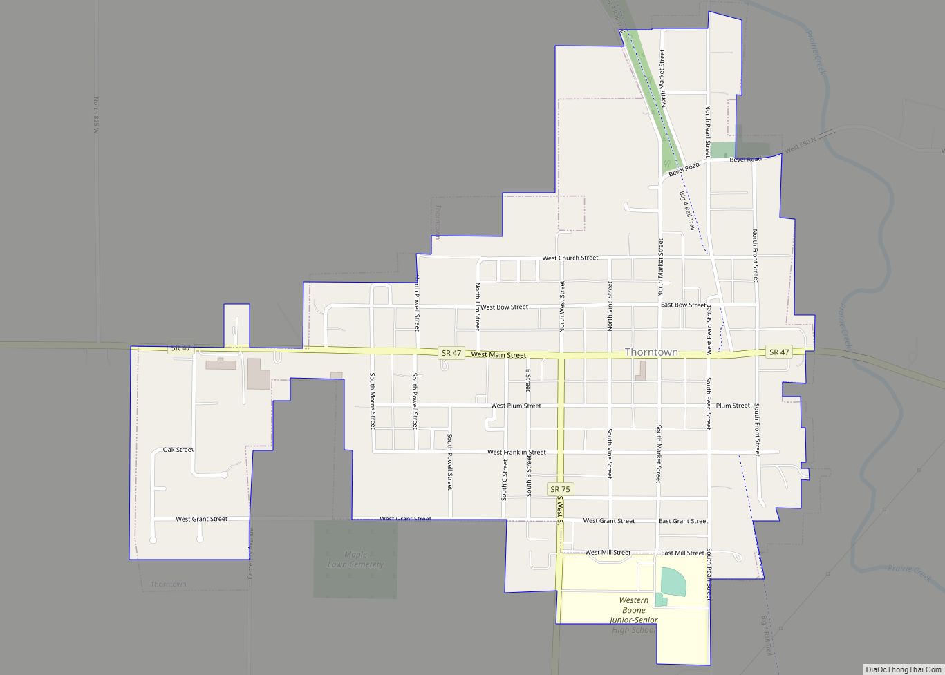
Thorntown is a town in Sugar Creek Township, Boone County, Indiana. The population was 1,520 at the time of the 2010 census. Thorntown is located in northwestern Boone County, about halfway between Lafayette and Indianapolis. Thorntown town overview: Name: Thorntown town LSAD Code: 43 LSAD Description: town (suffix) State: Indiana County: Boone County Elevation: 856 ft ... Read more
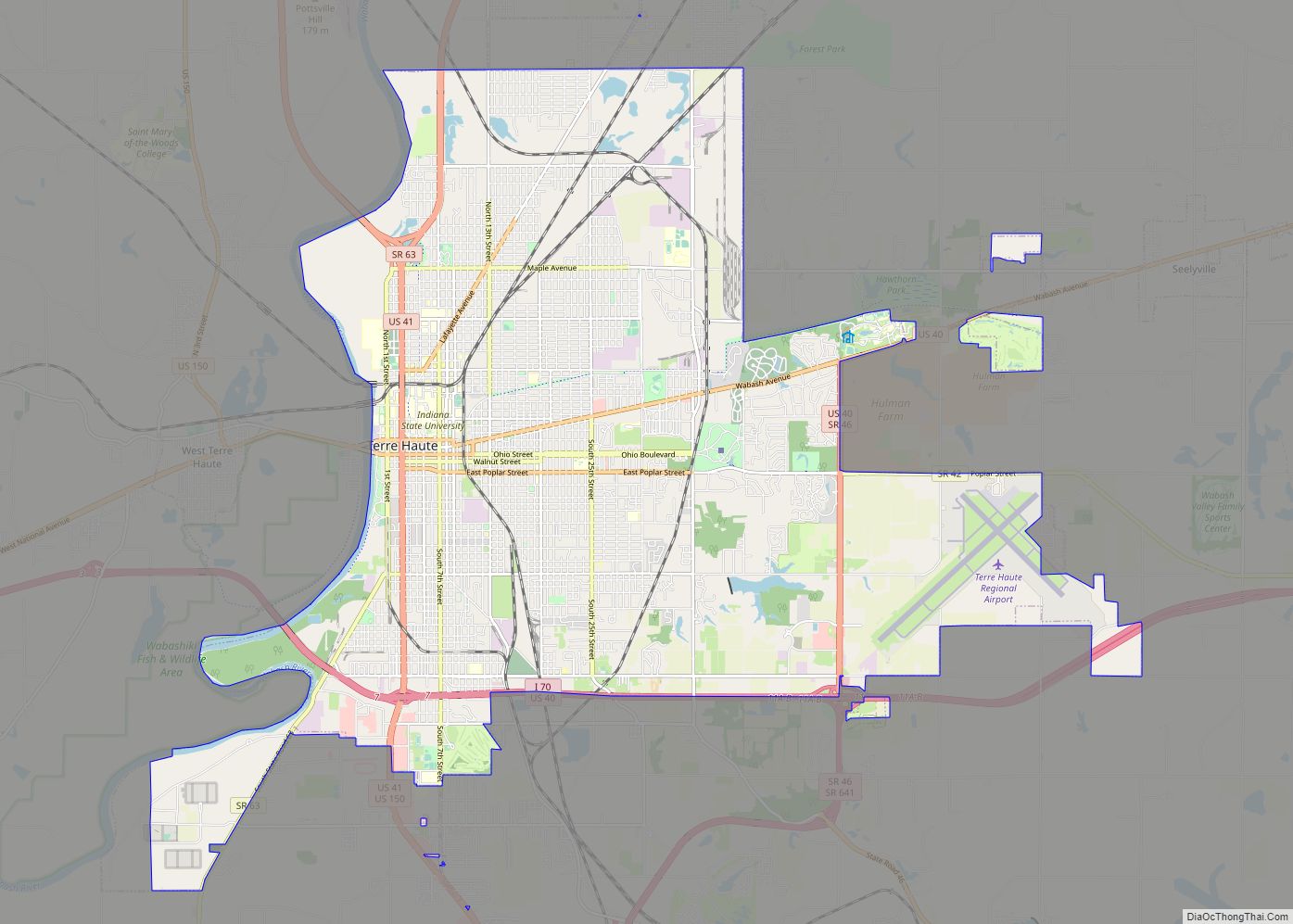
Terre Haute (/ˈtɛrə ˈhoʊt/ TERR-ə HOHT) is a city in and the county seat of Vigo County, Indiana, United States, about 5 miles east of the state’s western border with Illinois. As of the 2010 census, the city had a population of 60,785 and its metropolitan area had a population of 170,943. Located along the ... Read more
