Terre Haute (/ˈtɛrə ˈhoʊt/ TERR-ə HOHT) is a city in and the county seat of Vigo County, Indiana, United States, about 5 miles east of the state’s western border with Illinois. As of the 2010 census, the city had a population of 60,785 and its metropolitan area had a population of 170,943.
Located along the Wabash River, Terre Haute is one of the largest cities in the Wabash Valley and is known as the Queen City of the Wabash. The city is home to multiple higher-education institutions, including Indiana State University, Rose-Hulman Institute of Technology, and Ivy Tech Community College of Indiana.
| Name: | Terre Haute city |
|---|---|
| LSAD Code: | 25 |
| LSAD Description: | city (suffix) |
| State: | Indiana |
| County: | Vigo County |
| Elevation: | 499 ft (152 m) |
| Total Area: | 35.16 sq mi (91.07 km²) |
| Land Area: | 34.77 sq mi (90.06 km²) |
| Water Area: | 0.39 sq mi (1.01 km²) |
| Total Population: | 58,389 |
| Population Density: | 1,679.15/sq mi (648.33/km²) |
| Area code: | 812 & 930 |
| FIPS code: | 1875428 |
| GNISfeature ID: | 444648 |
| Website: | www.terrehaute.in.gov |
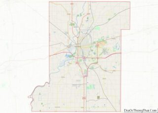
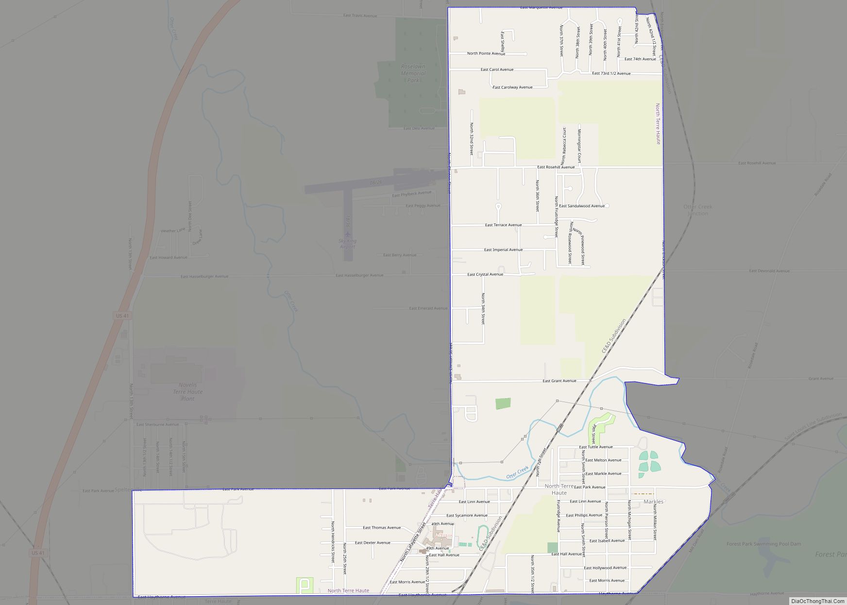
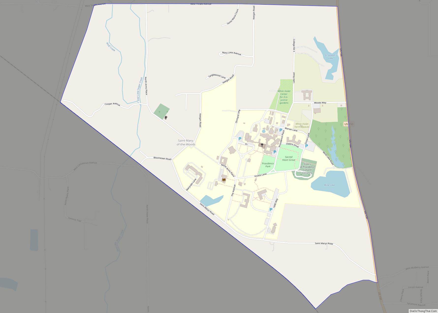
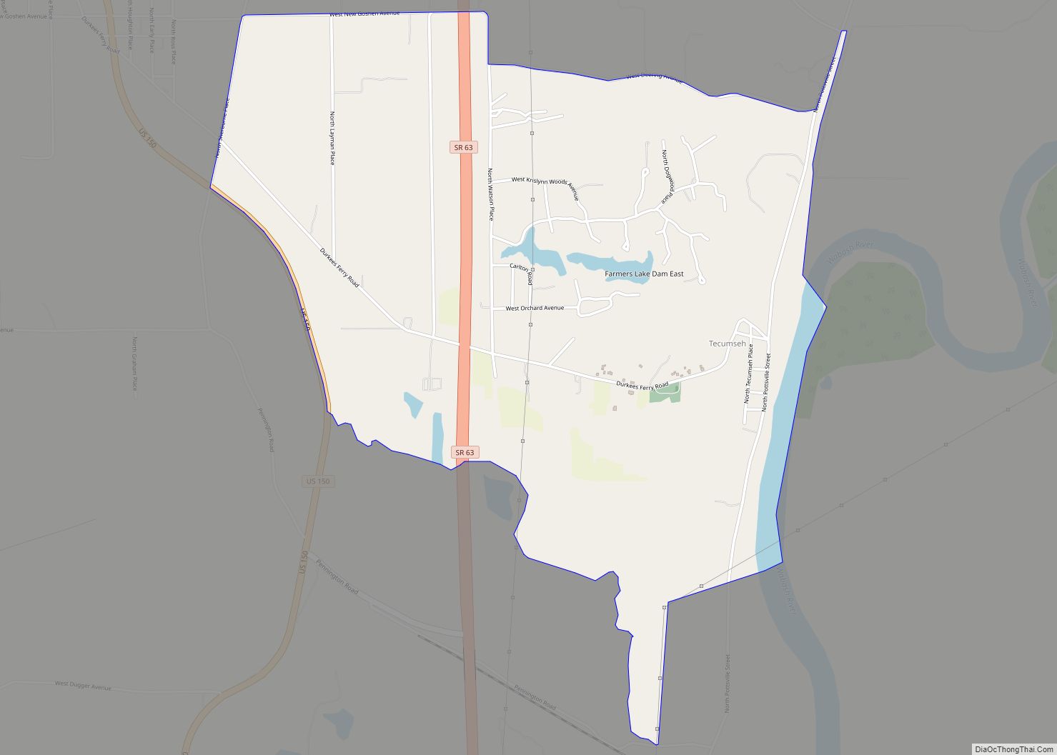
Online Interactive Map
Click on ![]() to view map in "full screen" mode.
to view map in "full screen" mode.
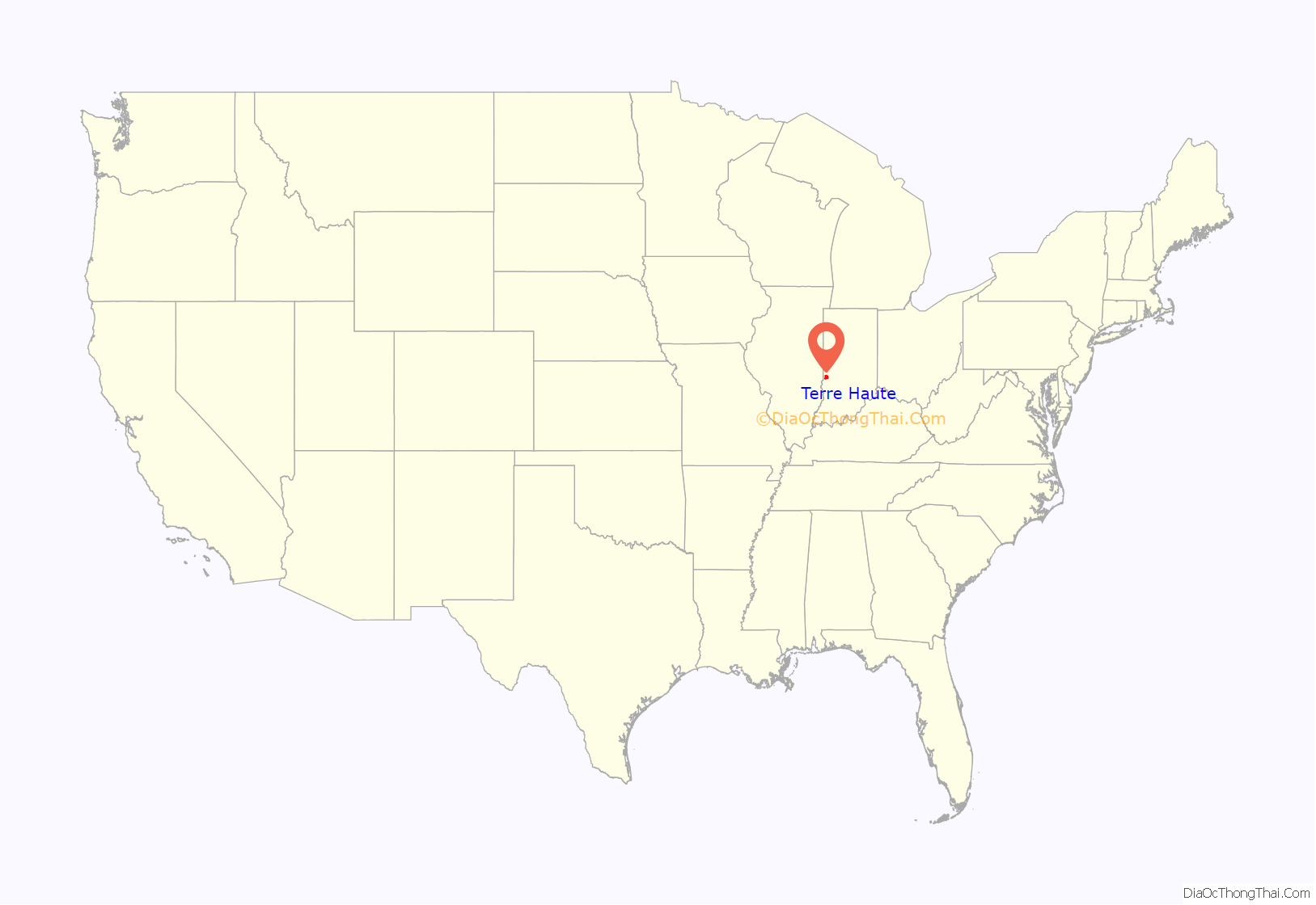
Terre Haute location map. Where is Terre Haute city?
History
Terre Haute’s name is derived from the French phrase terre haute (pronounced [tɛʁ ot] in French), meaning “highland”. It was named by French-Canadian explorers and fur trappers to the area in the early 18th century to describe the unique location above the Wabash River (see French colonization of the Americas). At the time, the area was claimed by the French and British and these highlands were considered the border between Canada and Louisiana.
The construction of Fort Harrison in 1811 marked the known beginning of a permanent population of European-Americans. A Wea Indian village already existed near the fort, and the orchards and meadows they kept a few miles south of the fort became the site of the present-day city. (Terre Haute’s currently affiliated Order of the Arrow lodge of the Boy Scouts of America is named after the last leader of the Wea village, Jacco Godfroy.) The village of Terre Haute, then a part of Knox County, Indiana, was platted in 1816.
Terre Haute became the county seat of the newly formed Vigo County in 1818, leading to increased population growth. The village’s estimated 1,000 residents voted to incorporate in 1832; the village was elevated to city status in 1853.
Early Terre Haute was a center of farming, milling, and pork processing. However, the city’s pre-1960 business and industrial expansion occurred largely due to transportation. The Wabash River, the building of the National Road (now US 40), and the Wabash and Erie Canal linked Terre Haute to the world and broadened the city’s range of influence. The economy was based on iron and steel mills, hominy plants, and late in the 19th century, distilleries, breweries, and bottle makers. Coal mines and coal operating companies developed to support the railroads, yet agriculture remained predominant, largely due to the role of corn in making alcoholic beverages and food items.
With steady growth and development in the latter part of the 19th century, the city’s vibrant neighborhoods benefited from improved fire protection, the founding of two hospitals, dozens of churches, and a number of outlets for amusement. Terre Haute’s position as an educational hub was fostered as several institutions of higher education were established. The city developed a reputation for its arts and entertainment offerings. Grand opera houses were built that hosted hundreds of operas and theatrical performances. It became a stop on the popular vaudeville circuit. The development of the streetcar system and later the electric-powered trolleys in the 1890s allowed residents to travel with ease to baseball games, picnics, river excursions, amusement parks, and even horse racing. The famous “Four-Cornered” Racetrack, now the site of Memorial Stadium, was laid out in 1886 and drew the best of the country’s trotters and drivers.
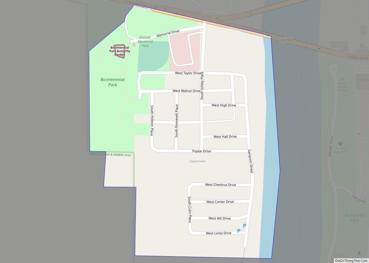
On the evening of Easter Sunday, March 23, 1913, a major tornado struck the city around 9:45 pm, demolishing more than 300 homes, killing 21 people, and injuring 250. Damage to local businesses and industries was estimated at $1 million to $2 million (in 1913 dollars). Up to that time, it was the deadliest tornado to hit Indiana. Heavy rains followed the tornado, causing the Wabash River to rise. By midday on Tuesday, March 25, West Terre Haute (Taylorville) was three-quarters submerged.
Like all U.S. communities, Terre Haute experienced economic swings as the country’s economic base evolved. Before the Great Depression brought the U.S. economy to a near halt, influences such as Prohibition and the decline of the country’s railroads had a negative effect on two of Terre Haute’s major industries – distilleries/breweries and railroad repair works.In 1940, though, it was selected for a new United States penitentiary built on 1,126 acres (456 ha) south of the city.
World War II brought an economic upswing with the development of three ordnance plants in the county and the revitalization of the coal, railroad, and agriculture industries. Terre Haute remained dependent on consumer manufacturers such as Quaker Maid, the world’s largest food processing factory under one roof. The city was an enthusiastic participant in the war effort with troop send-offs, victory gardens, bond sales, civil defense drills, parades, and ceremonies. The country’s 100th United Service Organizations (USO) facility opened in the city in 1943.
Following the war, Terre Haute gained several new factories: Pfizer (1948), Allis-Chalmers (1951), Columbia Records (1954), and Anaconda Aluminum (1959). The face of downtown Terre Haute began to change in the late 1960s when Interstate 70 was built, passing through Vigo County about 5 mi (8.0 km) south of the path of U.S. 40 Wabash Avenue). As traffic began to concentrate at the U.S. 41 interchange, many downtown businesses relocated to Honey Creek Mall shopping center, built in 1968.
Throughout the period, civic groups developed to work toward boosting the economy. The Terre Haute Committee for Area Progress developed the Fort Harrison Industrial Park in the 1970s. Grow Terre Haute in the mid-1980s encouraged the establishment of new stores, factories, and high-tech industrial parks that helped to stabilize the economy and enhance community life. Most encouraging was the arrival of the Digital Audio Disc Corporation (DADC), a subsidiary of the global company, Sony, as the first American factory designed exclusively to make compact discs. In other developments over these years, railroad overpasses eased traffic congestion, law enforcement strengthened, and several national and state awards for volunteerism and citizen participation boosted local pride.
Like other Midwest manufacturing cities, Terre Haute faced daunting challenges as it neared the end of the 20th century, including the outmigration of the population and the closure of long-time manufacturing operations.
Much of the city’s resiliency can be attributed to the diversity of the local economy. Manufacturing continues to be an important part of that, due to the formation of the Vigo County Industrial Park. The efforts of the Terre Haute Economic Development Corporation, in cooperation with city and county government, have made the industrial park home to some of the world’s leading companies – Companhia Siderúrgica Nacional’s cold-rolled steel-processing facility, Staples Corporation’s Midwest Distribution Center, Advics automotive brake systems manufacturing facility, ThyssenKrupp Presta’s automotive steering systems manufacturing facility, and CertainTeed’s fiber cement board manufacturing plant.
The revitalization of the downtown area can be traced to the construction of First Financial Bank’s new headquarters building in the late 1980s and the creation of the city’s first tax increment financing district, which funded the first downtown parking structure. Over the years, more initiatives followed, including the construction of several new office buildings and a second downtown parking structure.
With the efforts of nonprofit groups such as Downtown Terre Haute and the expansion of the campus of Indiana State University, changes have spurred growth downtown. Several new hotels and businesses have been added to the “Crossroads of America” near 7th and Wabash, outdoor events and festivals attract crowds nearly every weekend during the summer, and the 7th Street Arts Corridor and Terre Haute Children’s Museum, completed in 2010, enhance the appeal of the downtown area. These developments over several years inspired property owners throughout downtown to rehabilitate and renovate their buildings, including Hulman & Company. A new $25 million convention center is in the works for downtown Terre Haute, with completion planned for 2021
Renovation of the city’s 1930s-era Federal Building to house Indiana State University’s Scott College of Business in 2010 and development of a new downtown location for Indiana State University Foundation and the university’s bookstore in 2011 strengthened ties between the city and the university. In 2015, Indiana State University partnered with developers to build a student housing facility in the heart of downtown, and other downtown residential development followed.
A casino has been proposed to be built on the east side of the city near U.S. Route 40/Indiana Route 46. A referendum in November 2019 on whether to allow the casino to be built passed overwhelmingly.
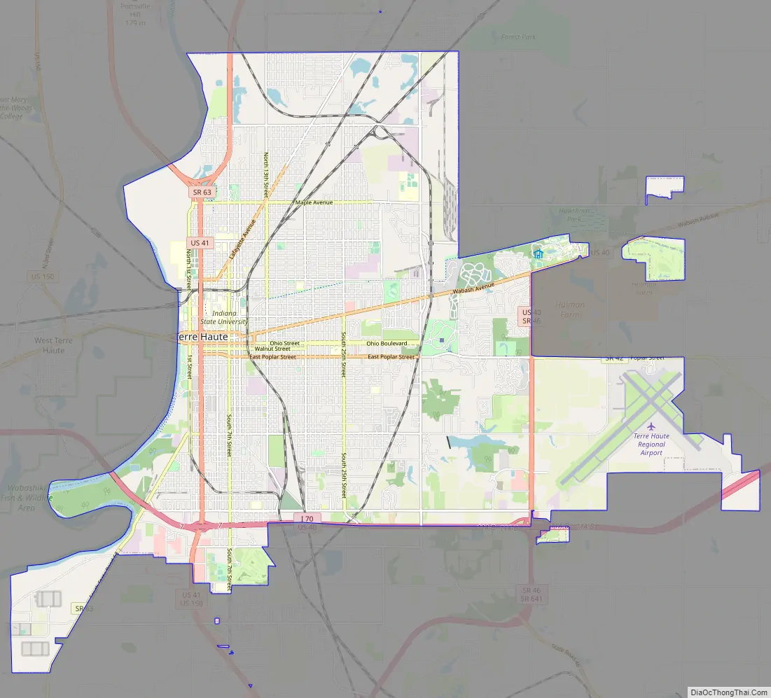
Terre Haute Road Map
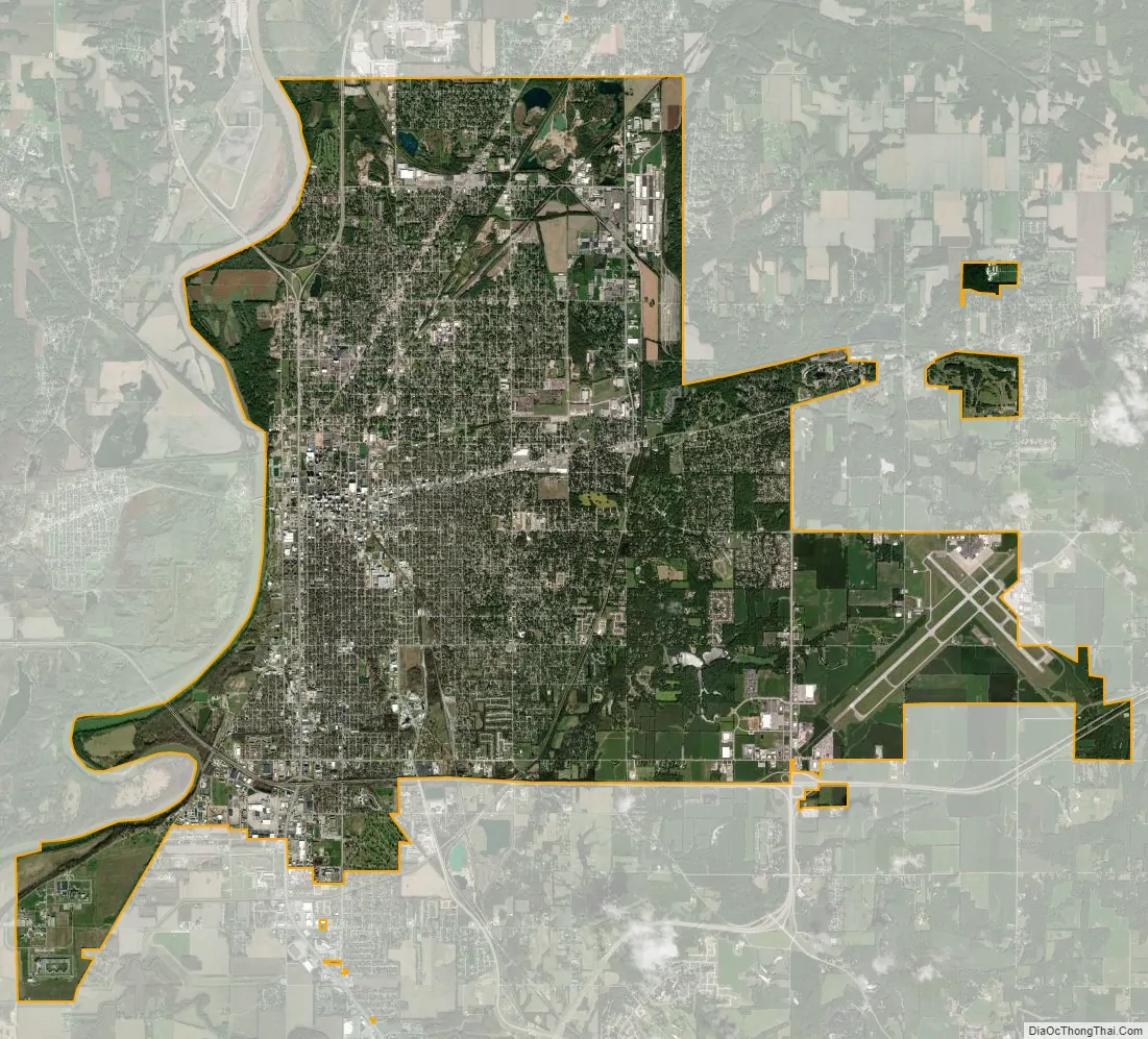
Terre Haute city Satellite Map
Geography
Terre Haute lies along the eastern bank of the Wabash River in western Indiana, about 75 mi (121 km) west of Indianapolis.
According to the 2010 census, Terre Haute has an area of 35.272 square miles (91.35 km), of which 0.732 square miles (1.90 km) (or 2.08%) is covered by water.
The Wabash River dominates the city’s geography, forming its western border. Small bluffs on the east side of town mark the edge of the historic flood plain. Lost Creek and Honey Creek drain the city’s northern and southern sections, respectively. In the late 19th century (particularly during the oil craze of 1889), several oil and mineral wells were productive in and near the center of town. Pioneer Oil of Lawrenceville, Illinois, began drilling for oil at 10th and Chestnut Streets on the Indiana State University campus in December 2013, the first oil well drilled in downtown Terre Haute since 1903.
Terre Haute is at the intersection of two major roadways: U.S. 40, originally from California to Maryland, and US 41, from Copper Harbor, Michigan, to Miami, Florida. US 41 is now locally named 3rd Street, but historically was 7th Street, making “7th and Wabash” the Crossroads of America. Terre Haute is 77 mi (124 km) southwest of Indianapolis and within 185 mi (298 km) of Chicago, St. Louis, Louisville, and Cincinnati.
Climate
Climate in the city is characterized by relatively high summer temperatures, mean winter temperatures near freezing, and evenly distributed precipitation throughout the year. The Köppen climate classification this climate is Dfa (humid continental).
See also
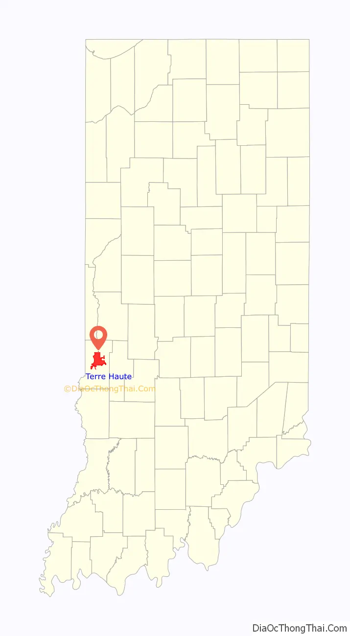
Map of Indiana State and its subdivision:- Adams
- Allen
- Bartholomew
- Benton
- Blackford
- Boone
- Brown
- Carroll
- Cass
- Clark
- Clay
- Clinton
- Crawford
- Daviess
- De Kalb
- Dearborn
- Decatur
- Delaware
- Dubois
- Elkhart
- Fayette
- Floyd
- Fountain
- Franklin
- Fulton
- Gibson
- Grant
- Greene
- Hamilton
- Hancock
- Harrison
- Hendricks
- Henry
- Howard
- Huntington
- Jackson
- Jasper
- Jay
- Jefferson
- Jennings
- Johnson
- Knox
- Kosciusko
- LaGrange
- Lake
- Lake Michigan
- LaPorte
- Lawrence
- Madison
- Marion
- Marshall
- Martin
- Miami
- Monroe
- Montgomery
- Morgan
- Newton
- Noble
- Ohio
- Orange
- Owen
- Parke
- Perry
- Pike
- Porter
- Posey
- Pulaski
- Putnam
- Randolph
- Ripley
- Rush
- Saint Joseph
- Scott
- Shelby
- Spencer
- Starke
- Steuben
- Sullivan
- Switzerland
- Tippecanoe
- Tipton
- Union
- Vanderburgh
- Vermillion
- Vigo
- Wabash
- Warren
- Warrick
- Washington
- Wayne
- Wells
- White
- Whitley
- Alabama
- Alaska
- Arizona
- Arkansas
- California
- Colorado
- Connecticut
- Delaware
- District of Columbia
- Florida
- Georgia
- Hawaii
- Idaho
- Illinois
- Indiana
- Iowa
- Kansas
- Kentucky
- Louisiana
- Maine
- Maryland
- Massachusetts
- Michigan
- Minnesota
- Mississippi
- Missouri
- Montana
- Nebraska
- Nevada
- New Hampshire
- New Jersey
- New Mexico
- New York
- North Carolina
- North Dakota
- Ohio
- Oklahoma
- Oregon
- Pennsylvania
- Rhode Island
- South Carolina
- South Dakota
- Tennessee
- Texas
- Utah
- Vermont
- Virginia
- Washington
- West Virginia
- Wisconsin
- Wyoming