Tecumseh is an unincorporated census-designated place in eastern Fayette Township, Vigo County, in the U.S. state of Indiana. It is part of the Terre Haute metropolitan area.
| Name: | Tecumseh CDP |
|---|---|
| LSAD Code: | 57 |
| LSAD Description: | CDP (suffix) |
| State: | Indiana |
| County: | Vigo County |
| Elevation: | 558 ft (170 m) |
| Total Area: | 3.55 sq mi (9.20 km²) |
| Land Area: | 3.48 sq mi (9.00 km²) |
| Water Area: | 0.08 sq mi (0.20 km²) |
| Total Population: | 778 |
| Population Density: | 223.82/sq mi (86.41/km²) |
| ZIP code: | 47885 |
| Area code: | 812, 930 |
| FIPS code: | 1875176 |
| GNISfeature ID: | 444612 |
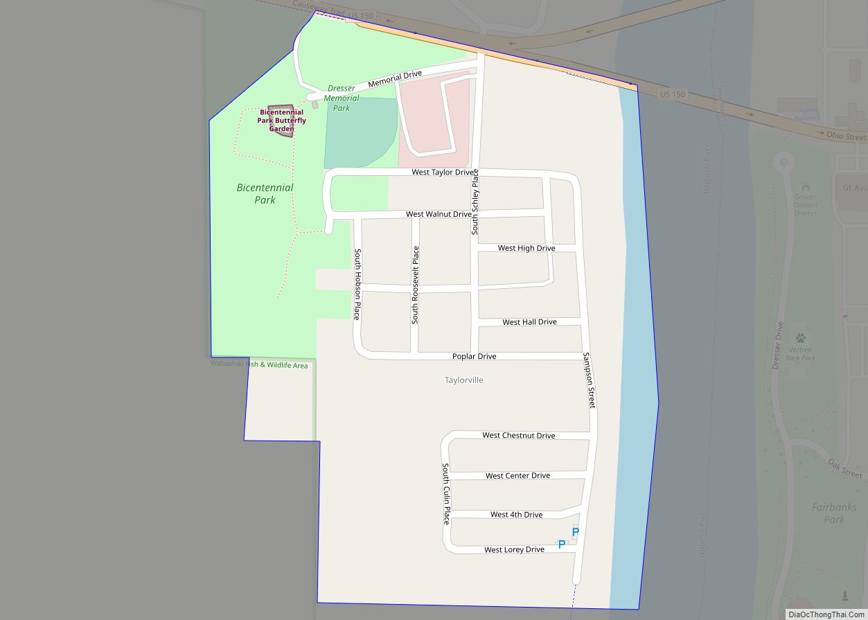
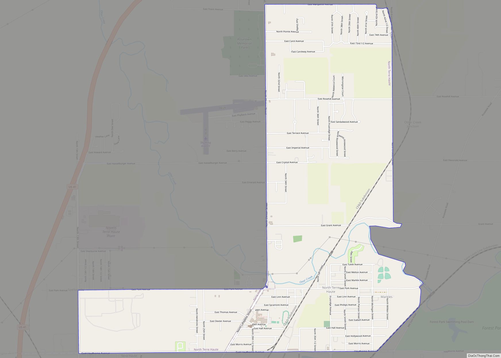
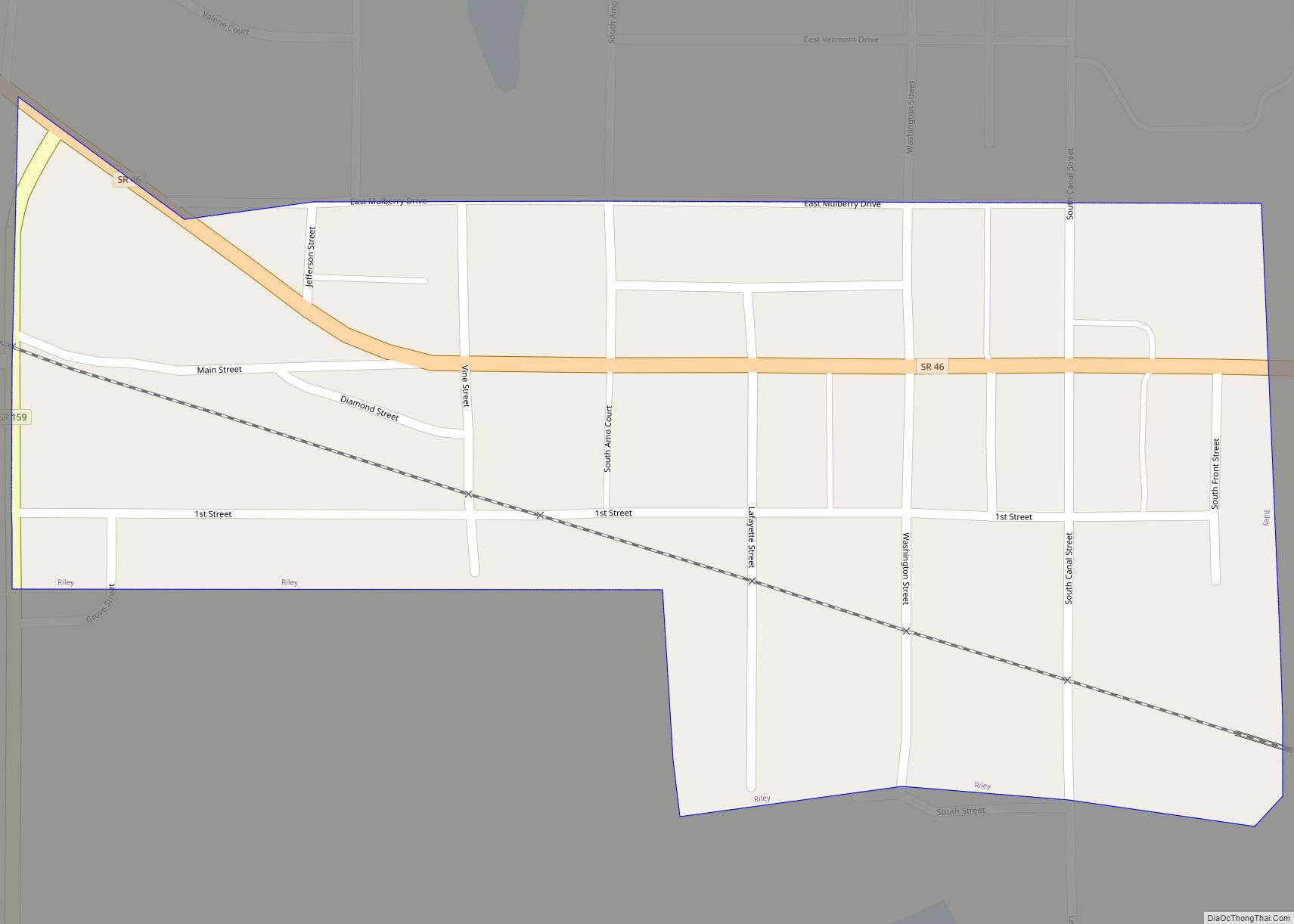
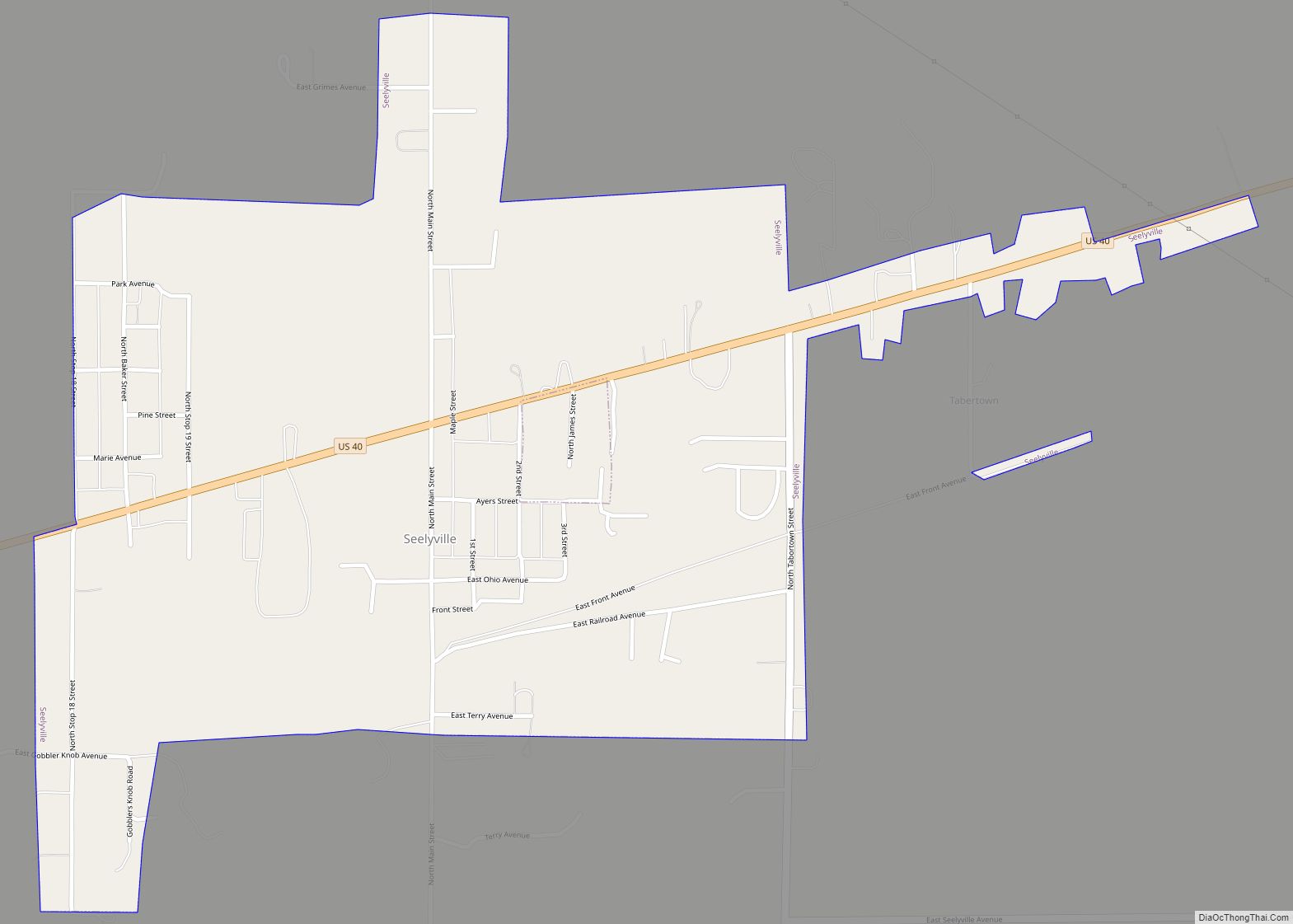
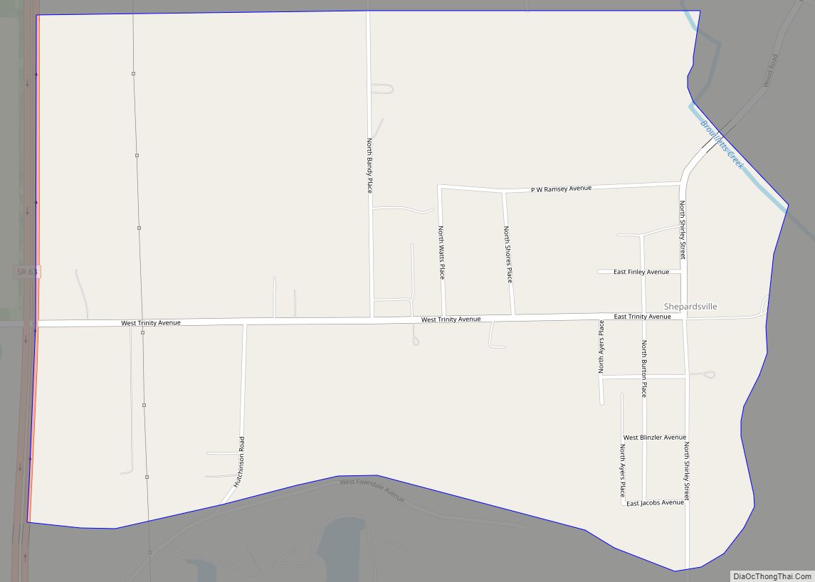
Online Interactive Map
Click on ![]() to view map in "full screen" mode.
to view map in "full screen" mode.
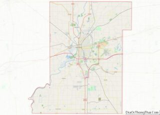
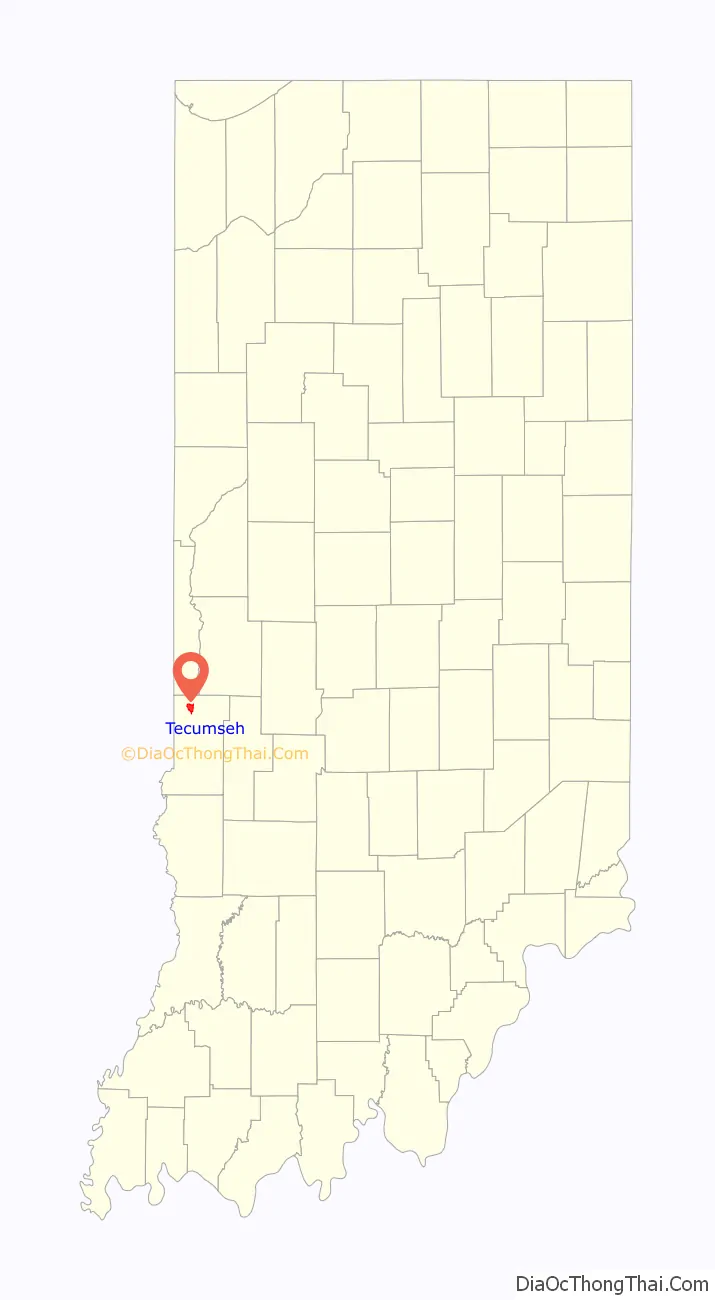
Tecumseh location map. Where is Tecumseh CDP?

History
Located on the Wabash River, the community was named for Tecumseh, the Native American leader of the Shawnee who fought General William Henry Harrison at Fort Harrison, only a mile south of the town. Tecumseh was once known as Durkee’s Ferry, and in 1890 it was merely a post-office with five or six houses. Durkee’s Ferry was once one of the main crossing points on the Wabash River.
A post office was established at Tecumseh in 1882, and remained in operation until it was discontinued in 1907.
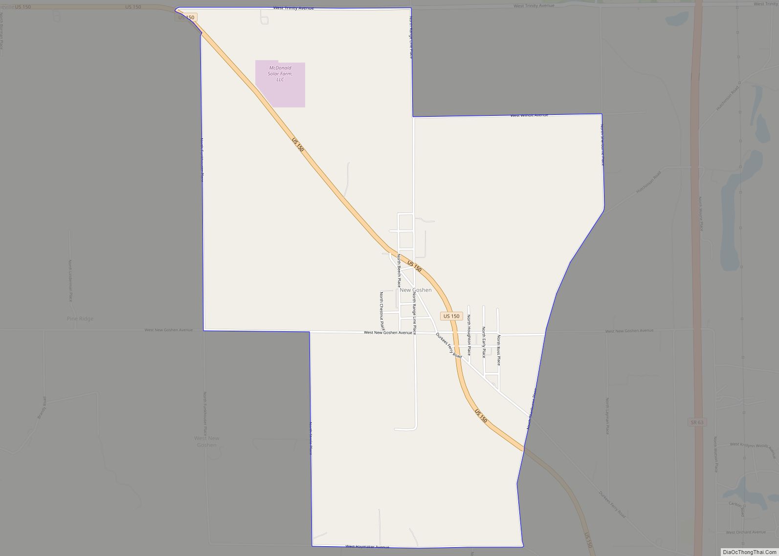
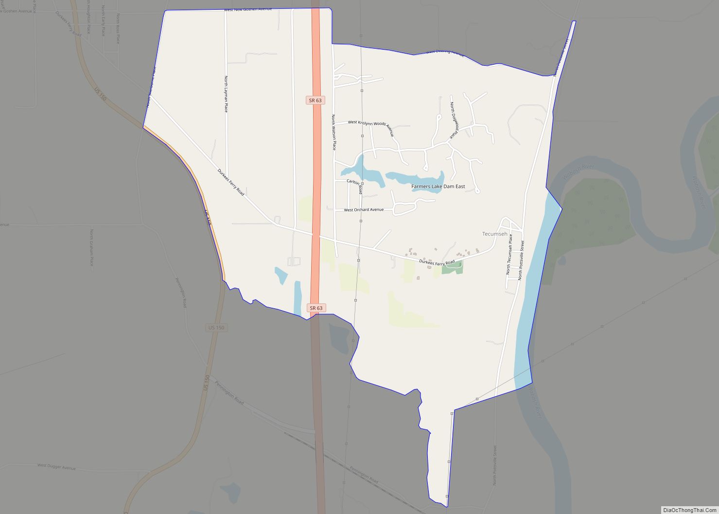
Tecumseh Road Map
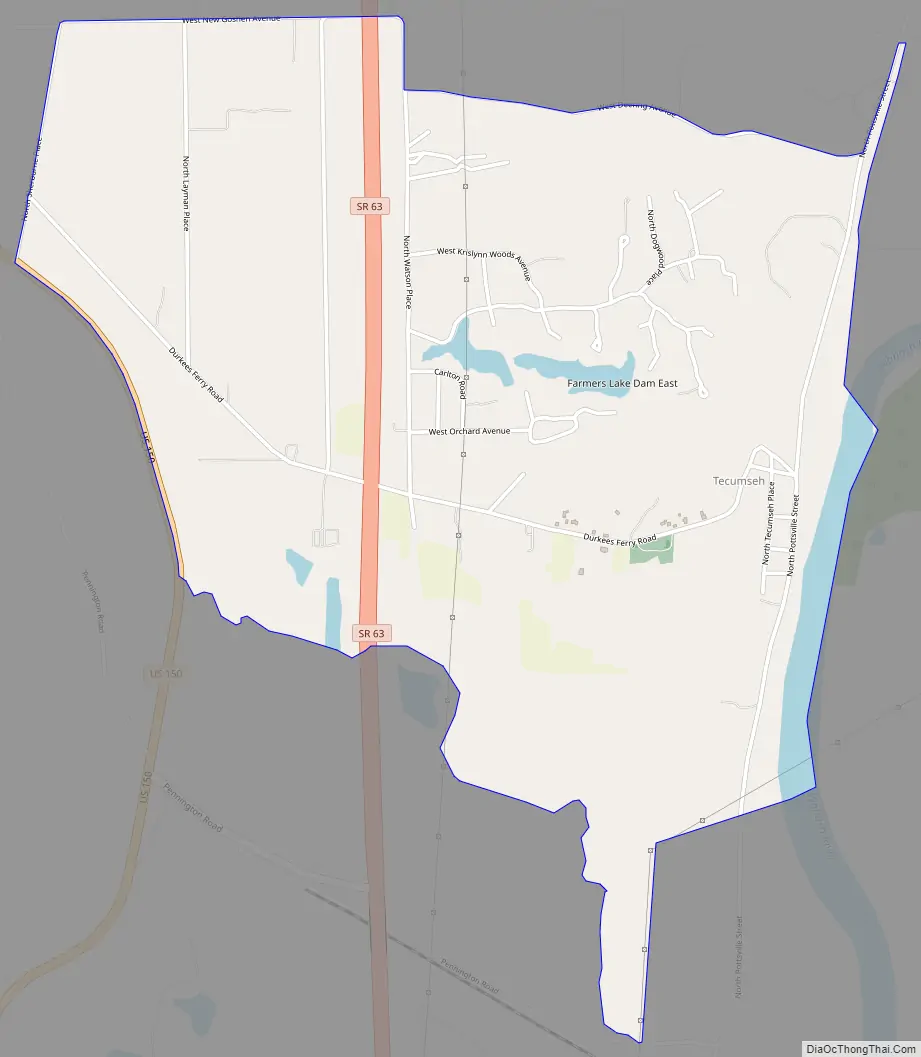
Tecumseh city Satellite Map

Geography
Tecumseh is located at 39°33′47″N 87°25′18″W / 39.56306°N 87.42167°W / 39.56306; -87.42167 at an elevation of 561 feet.
See also
Map of Indiana State and its subdivision:- Adams
- Allen
- Bartholomew
- Benton
- Blackford
- Boone
- Brown
- Carroll
- Cass
- Clark
- Clay
- Clinton
- Crawford
- Daviess
- De Kalb
- Dearborn
- Decatur
- Delaware
- Dubois
- Elkhart
- Fayette
- Floyd
- Fountain
- Franklin
- Fulton
- Gibson
- Grant
- Greene
- Hamilton
- Hancock
- Harrison
- Hendricks
- Henry
- Howard
- Huntington
- Jackson
- Jasper
- Jay
- Jefferson
- Jennings
- Johnson
- Knox
- Kosciusko
- LaGrange
- Lake
- Lake Michigan
- LaPorte
- Lawrence
- Madison
- Marion
- Marshall
- Martin
- Miami
- Monroe
- Montgomery
- Morgan
- Newton
- Noble
- Ohio
- Orange
- Owen
- Parke
- Perry
- Pike
- Porter
- Posey
- Pulaski
- Putnam
- Randolph
- Ripley
- Rush
- Saint Joseph
- Scott
- Shelby
- Spencer
- Starke
- Steuben
- Sullivan
- Switzerland
- Tippecanoe
- Tipton
- Union
- Vanderburgh
- Vermillion
- Vigo
- Wabash
- Warren
- Warrick
- Washington
- Wayne
- Wells
- White
- Whitley
- Alabama
- Alaska
- Arizona
- Arkansas
- California
- Colorado
- Connecticut
- Delaware
- District of Columbia
- Florida
- Georgia
- Hawaii
- Idaho
- Illinois
- Indiana
- Iowa
- Kansas
- Kentucky
- Louisiana
- Maine
- Maryland
- Massachusetts
- Michigan
- Minnesota
- Mississippi
- Missouri
- Montana
- Nebraska
- Nevada
- New Hampshire
- New Jersey
- New Mexico
- New York
- North Carolina
- North Dakota
- Ohio
- Oklahoma
- Oregon
- Pennsylvania
- Rhode Island
- South Carolina
- South Dakota
- Tennessee
- Texas
- Utah
- Vermont
- Virginia
- Washington
- West Virginia
- Wisconsin
- Wyoming