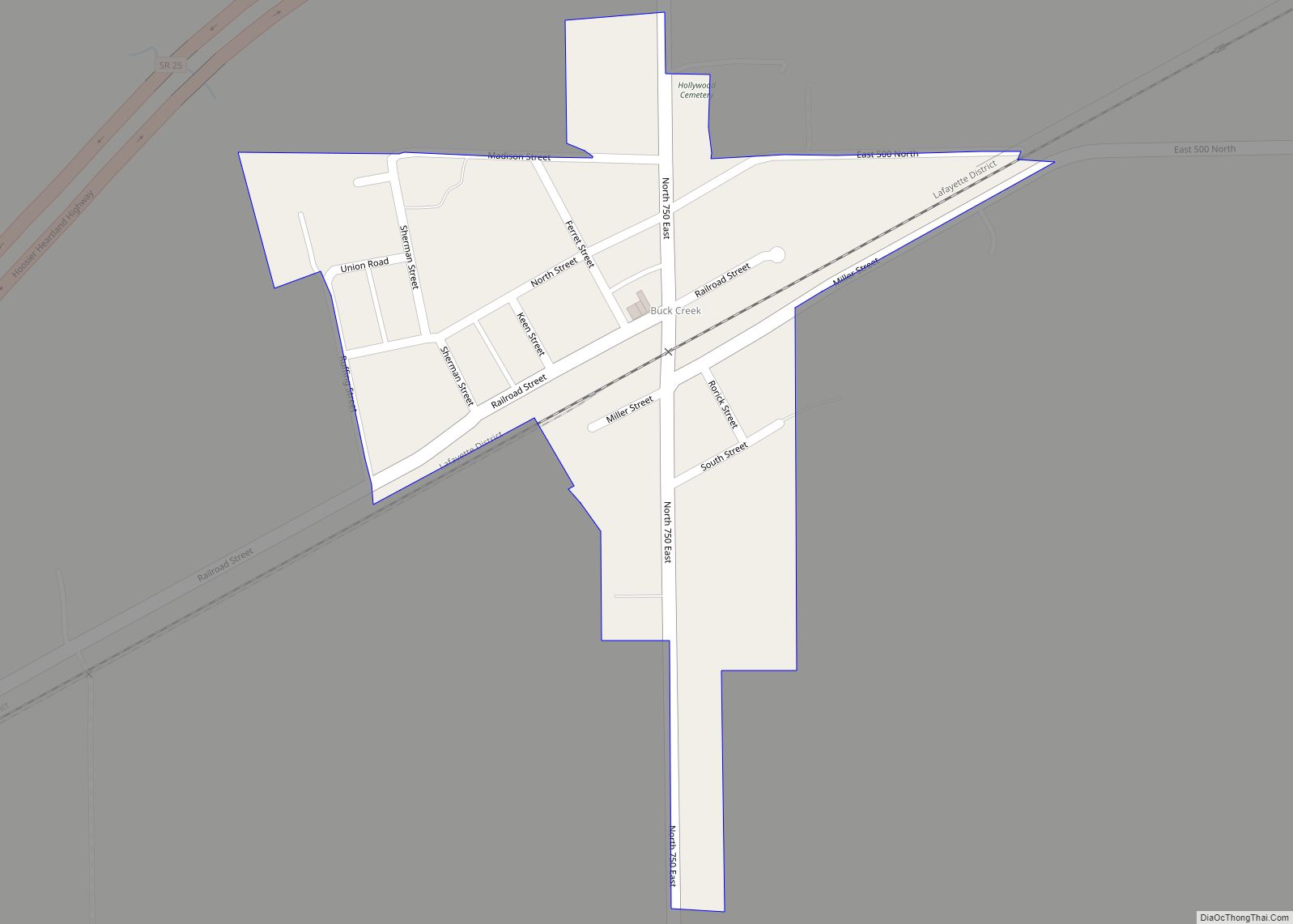
Buck Creek is an unincorporated census-designated place in Washington Township, Tippecanoe County, in the U.S. state of Indiana. It is part of the Lafayette, Indiana Metropolitan Statistical Area. Buck Creek CDP overview: Name: Buck Creek CDP LSAD Code: 57 LSAD Description: CDP (suffix) State: Indiana County: Tippecanoe County Elevation: 659 ft (201 m) Total Area: 0.13 sq mi (0.34 km²) ... Read more
Indiana Cities and Places
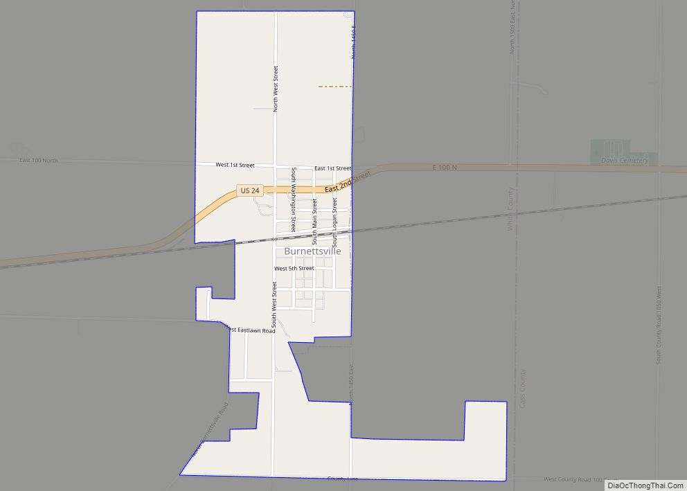
Burnettsville is a town in Jackson Township, White County, in the U.S. state of Indiana. The population was 346 at the 2010 census. Burnettsville town overview: Name: Burnettsville town LSAD Code: 43 LSAD Description: town (suffix) State: Indiana County: White County Elevation: 709 ft (216 m) Total Area: 0.75 sq mi (1.93 km²) Land Area: 0.75 sq mi (1.93 km²) Water Area: 0.00 sq mi ... Read more
Burlington is a town in Burlington Township, Carroll County, Indiana, United States. The population was 603 at the 2010 census. It is part of the Lafayette, Indiana Metropolitan Statistical Area. State Road 22 connects it to Kokomo. Burlington town overview: Name: Burlington town LSAD Code: 43 LSAD Description: town (suffix) State: Indiana County: Carroll County ... Read more
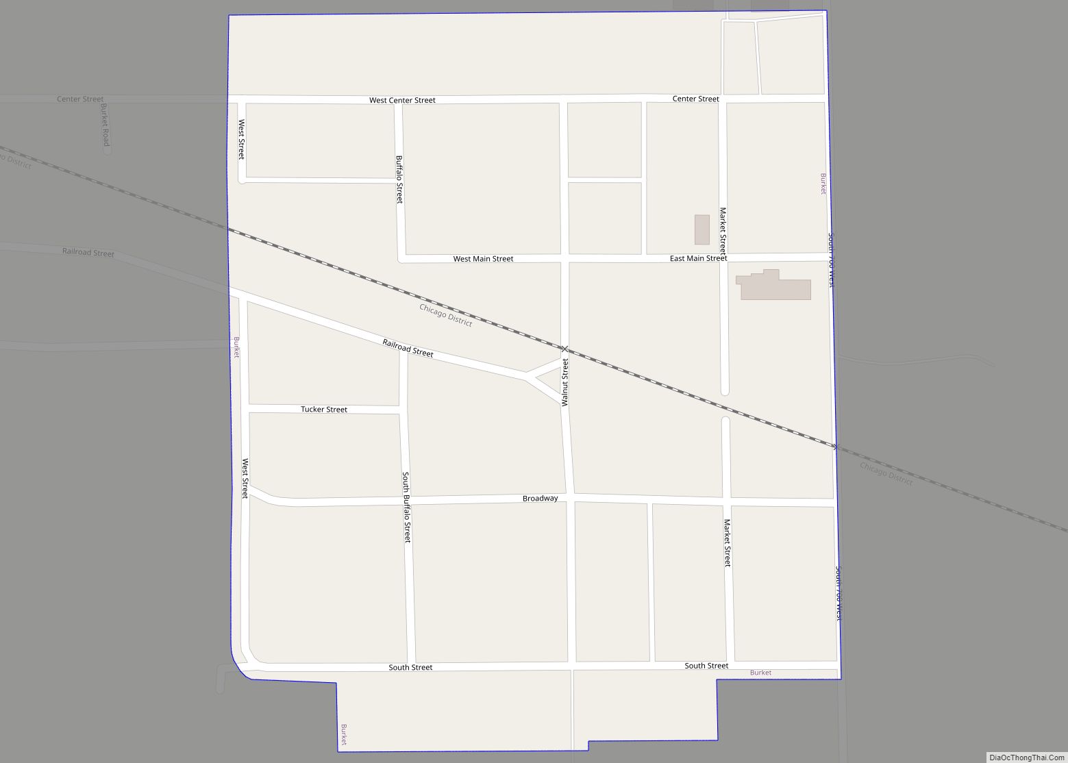
Burket is a town in Seward Township, Kosciusko County, in the U.S. state of Indiana. The population was 195 at the 2010 census. Burket town overview: Name: Burket town LSAD Code: 43 LSAD Description: town (suffix) State: Indiana County: Kosciusko County Elevation: 863 ft (263 m) Total Area: 0.07 sq mi (0.18 km²) Land Area: 0.07 sq mi (0.18 km²) Water Area: 0.00 sq mi ... Read more
Butler is a city in DeKalb County, Indiana, United States. The population was 2,684 at the 2010 census. Butler city overview: Name: Butler city LSAD Code: 25 LSAD Description: city (suffix) State: Indiana County: DeKalb County Elevation: 866 ft (264 m) Total Area: 1.97 sq mi (5.11 km²) Land Area: 1.97 sq mi (5.11 km²) Water Area: 0.00 sq mi (0.00 km²) Total Population: 2,635 Population ... Read more
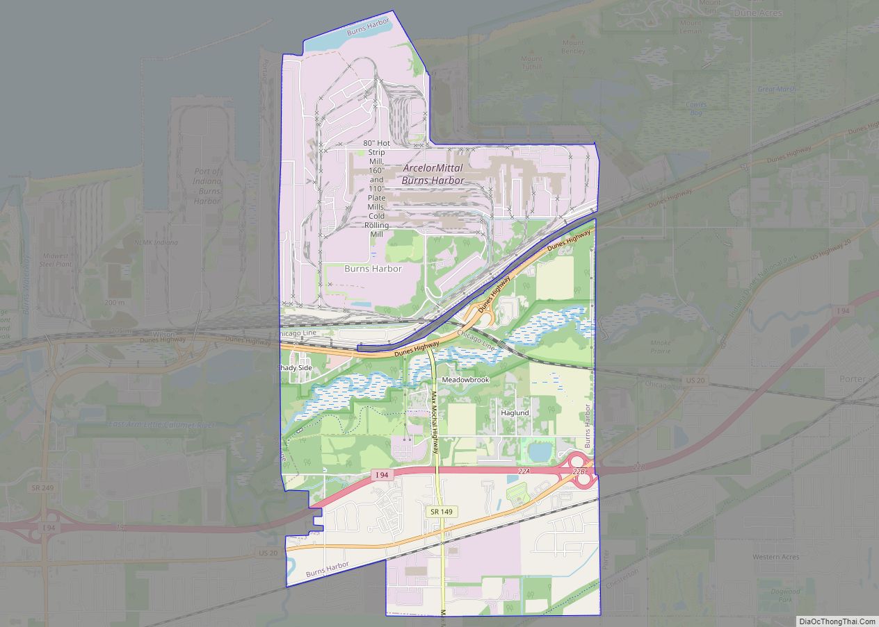
Burns Harbor is a town in Westchester Township, Porter County, Indiana, United States on the shores of Lake Michigan in Northwest Indiana. It is part of the Chicago metropolitan area. The population was 1,156 at the 2010 census. Burns Harbor is located adjacent to the Indiana Dunes, an area that conservationists have fought hard to ... Read more
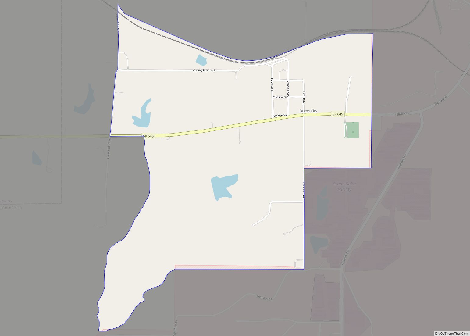
Burns City is an unincorporated community and census-designated place (CDP) in Perry Township, Martin County, in the U.S. state of Indiana. The population was 114 at the 2020 census. Burns City CDP overview: Name: Burns City CDP LSAD Code: 57 LSAD Description: CDP (suffix) State: Indiana County: Martin County Elevation: 689 ft (210 m) Total Area: 0.74 sq mi ... Read more
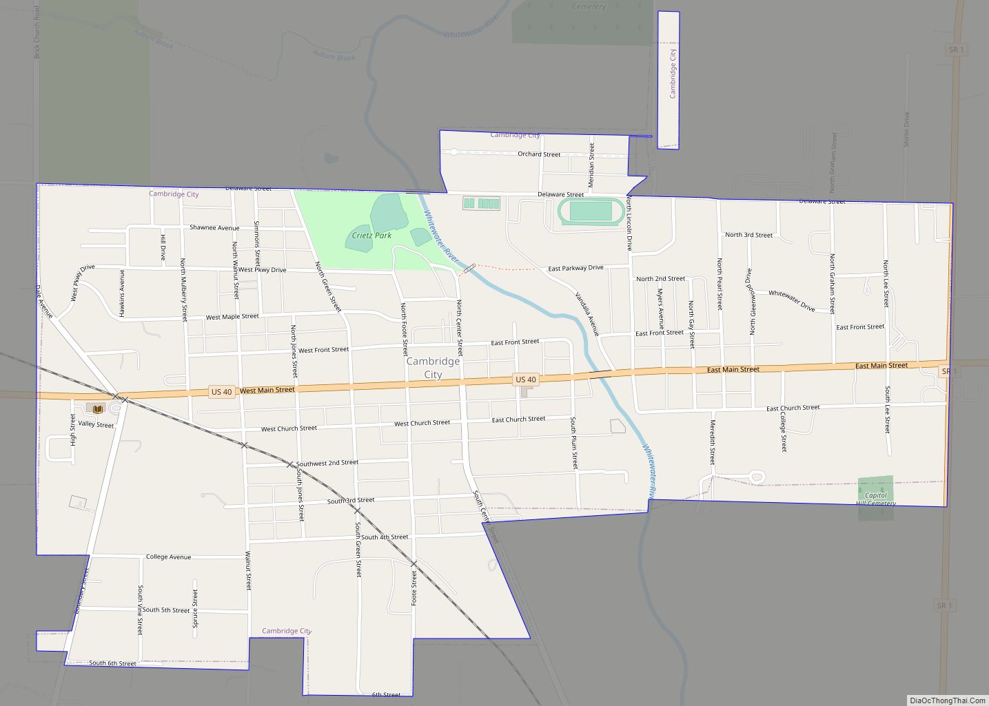
Cambridge City is a town in Jackson Township, Wayne County, in the U.S. state of Indiana. The population was 1,870 at the 2010 census. Cambridge City town overview: Name: Cambridge City town LSAD Code: 43 LSAD Description: town (suffix) State: Indiana County: Wayne County Elevation: 935 ft (285 m) Total Area: 1.02 sq mi (2.63 km²) Land Area: 1.01 sq mi (2.61 km²) ... Read more
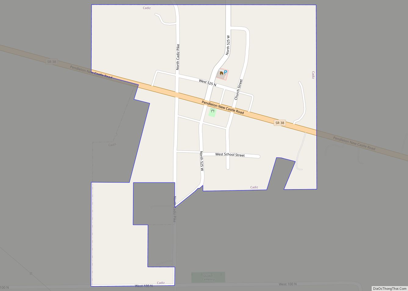
Cadiz is a town in Harrison Township, Henry County, Indiana, United States. The population was 150 at the 2010 census. Cadiz town overview: Name: Cadiz town LSAD Code: 43 LSAD Description: town (suffix) State: Indiana County: Henry County Elevation: 1,093 ft (333 m) Total Area: 0.14 sq mi (0.37 km²) Land Area: 0.14 sq mi (0.37 km²) Water Area: 0.00 sq mi (0.00 km²) Total Population: ... Read more
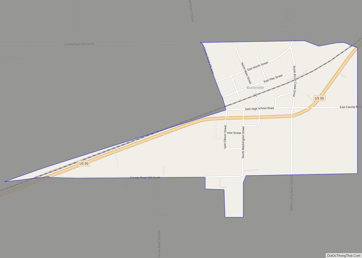
Butlerville is an unincorporated community and census-designated place (CDP) in central Campbell Township, Jennings County, Indiana, United States. As of the 2010 census it had a population of 282. Butlerville CDP overview: Name: Butlerville CDP LSAD Code: 57 LSAD Description: CDP (suffix) State: Indiana County: Jennings County Elevation: 807 ft (246 m) Total Area: 0.37 sq mi (0.97 km²) Land ... Read more
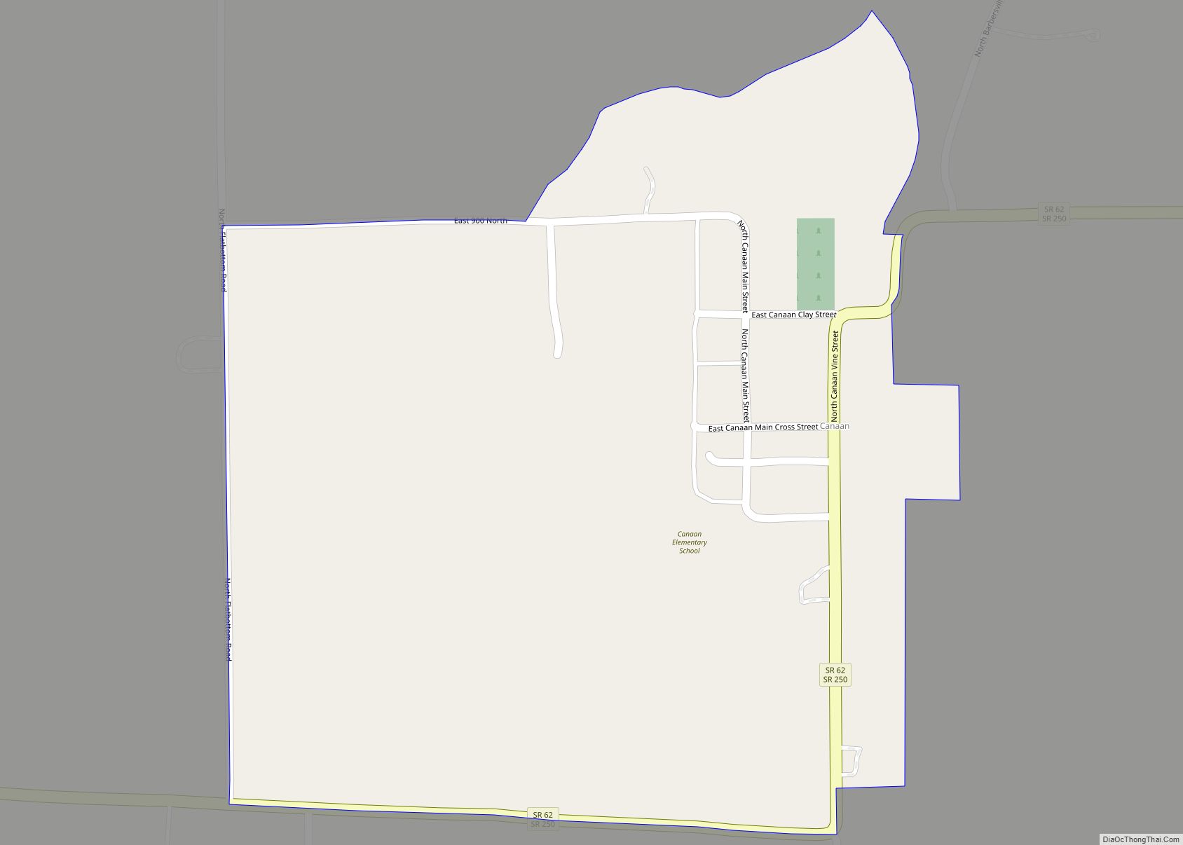
Canaan is an unincorporated community and census-designated place (CDP) in Shelby Township, Jefferson County, Indiana, United States. As of the 2010 census it had a population of 90. Canaan CDP overview: Name: Canaan CDP LSAD Code: 57 LSAD Description: CDP (suffix) State: Indiana County: Jefferson County Elevation: 948 ft (289 m) Total Area: 0.28 sq mi (0.73 km²) Land Area: ... Read more
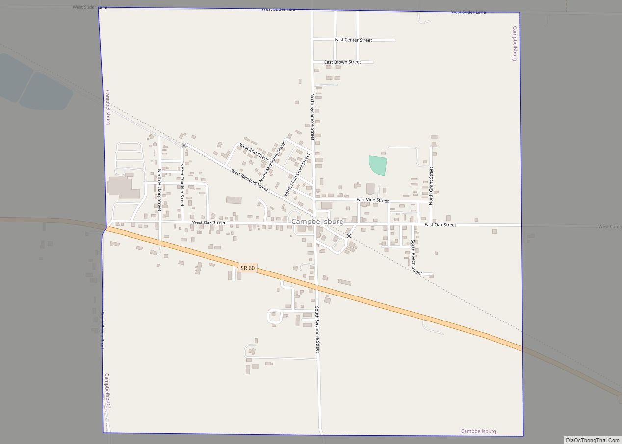
Campbellsburg is a town in Brown Township, Washington County, in the U.S. state of Indiana. The population was 585 at the 2010 census. Campbellsburg town overview: Name: Campbellsburg town LSAD Code: 43 LSAD Description: town (suffix) State: Indiana County: Washington County Elevation: 827 ft (252 m) Total Area: 0.99 sq mi (2.57 km²) Land Area: 0.99 sq mi (2.57 km²) Water Area: 0.00 sq mi ... Read more
