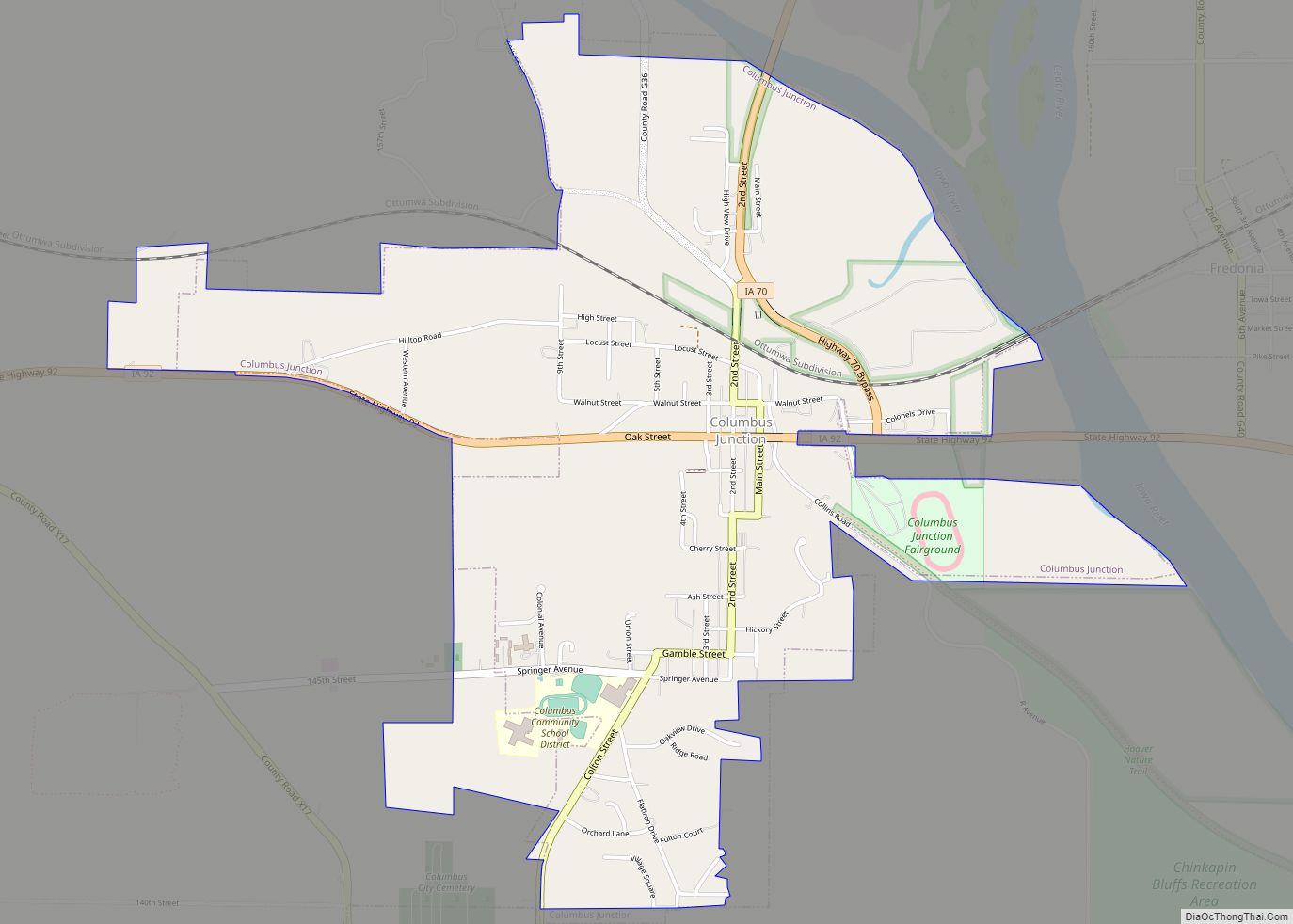
Columbus Junction is a city in Louisa County, Iowa. The population was 1,830 at the 2020 census. It is part of the Muscatine Micropolitan Statistical Area. Columbus Junction is home of the historic Swinging Bridge, found one block south of Highway 92 near downtown. The 262-foot-long steel cable and wood suspension bridge was built in ... Read more
Iowa Cities and Places
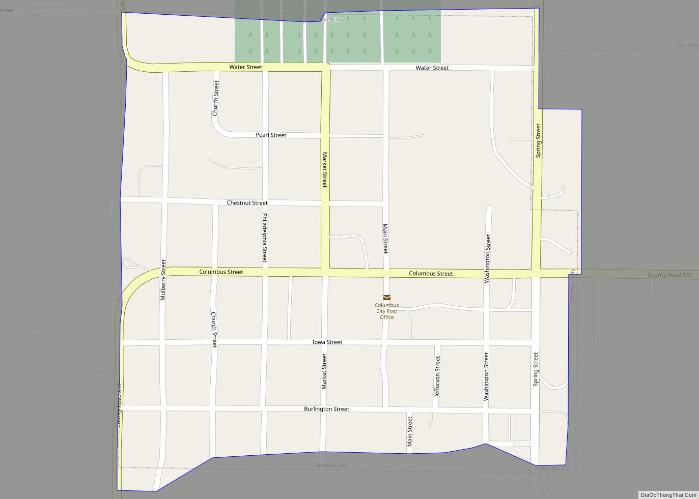
Columbus City is a city in western Louisa County, Iowa, United States. The population was 392 at the 2020 census. It is part of the Muscatine Micropolitan Statistical Area. Columbus City city overview: Name: Columbus City city LSAD Code: 25 LSAD Description: city (suffix) State: Iowa County: Louisa County Elevation: 728 ft (222 m) Total Area: 0.24 sq mi ... Read more
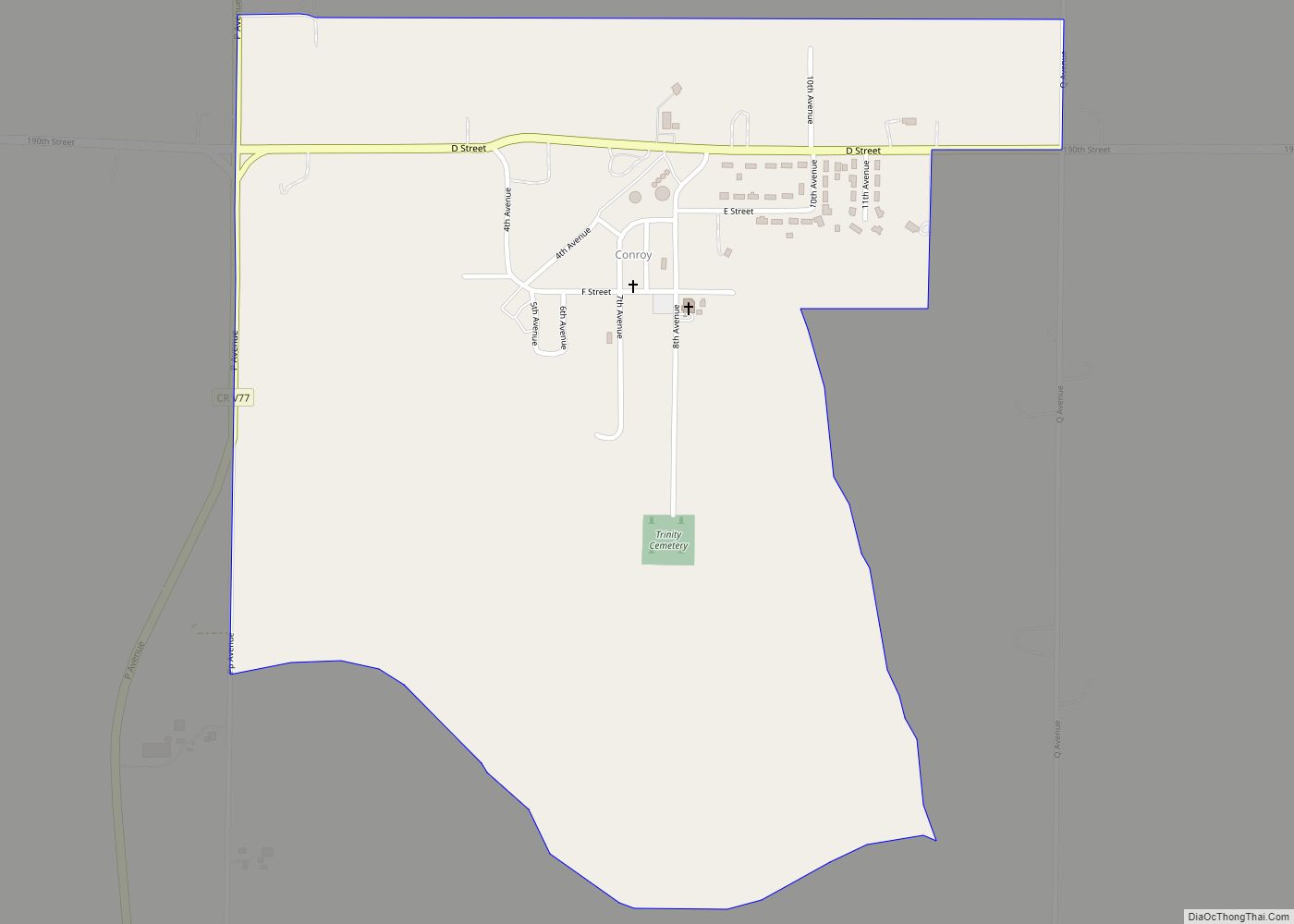
Conroy is an unincorporated community and census-designated place (CDP) in central Iowa County, Iowa, United States. It lies along local roads southeast of the city of Marengo, the county seat of Iowa County. Its elevation is 879 feet (268 m). Conroy has a post office with the ZIP Code of 52220, which opened on 5 January 1885. ... Read more
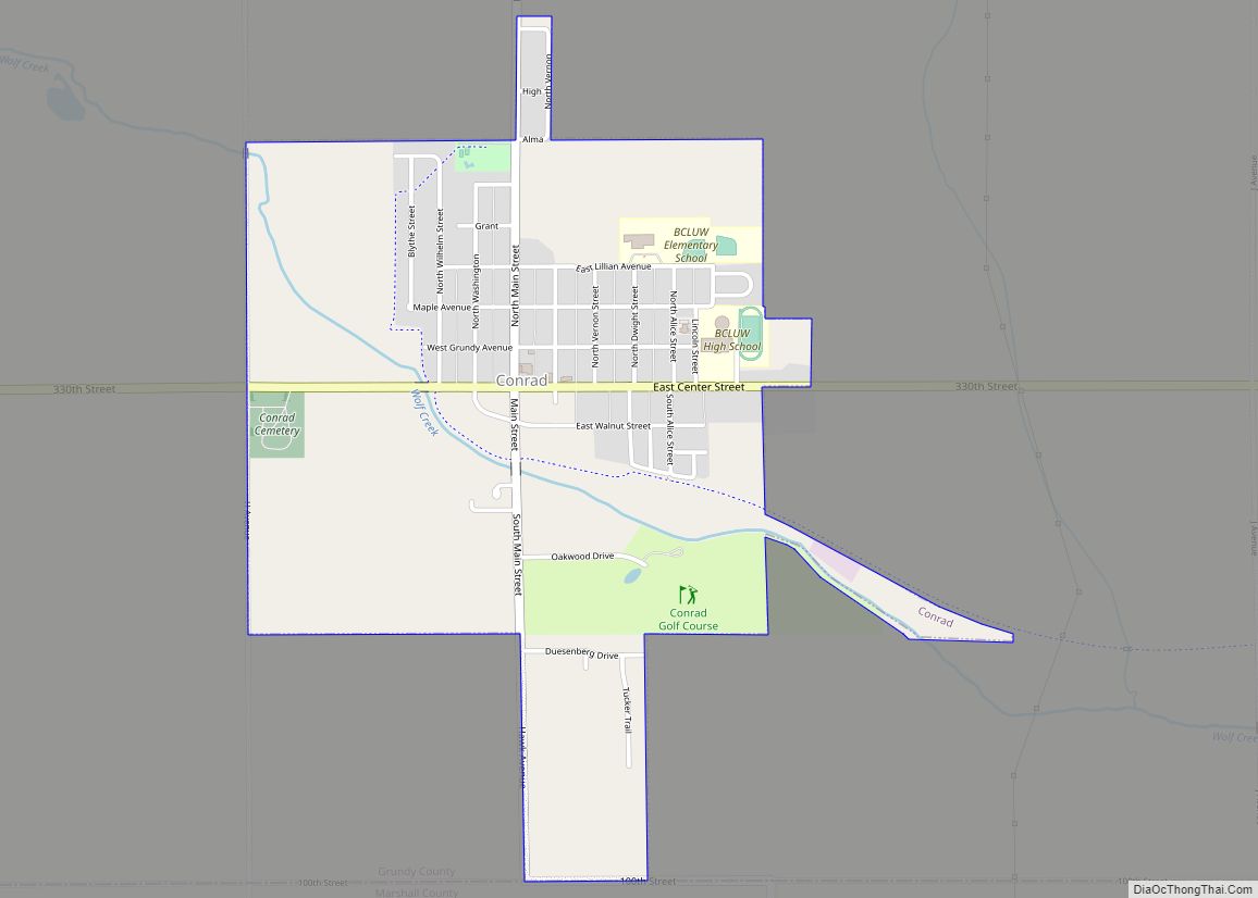
Conrad is a city in Grundy County, Iowa, United States. The population was 1,093 at the 2020 census. It is part of the Waterloo–Cedar Falls Metropolitan Statistical Area. Conrad holds the honor of being known as the “Black Dirt Capital of the World.” Conrad city overview: Name: Conrad city LSAD Code: 25 LSAD Description: city ... Read more
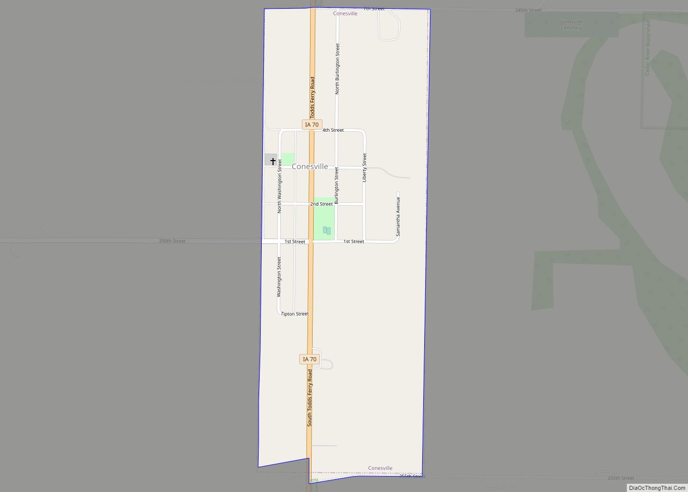
Conesville is a city in Muscatine County, Iowa, United States. The population was 352 at the 2020 census. It is part of the Muscatine Micropolitan Statistical Area. Conesville city overview: Name: Conesville city LSAD Code: 25 LSAD Description: city (suffix) State: Iowa County: Muscatine County Elevation: 610 ft (186 m) Total Area: 0.36 sq mi (0.93 km²) Land Area: 0.36 sq mi ... Read more
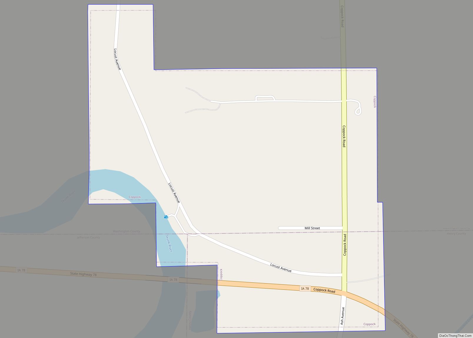
Coppock is a city in Henry, Jefferson, and Washington counties in the U.S. state of Iowa. The population was 36 at the 2020 census. The Washington County portion of Coppock is part of the Iowa City, Iowa Metropolitan Statistical Area. There is only one business open to the public, a tavern/boat landing. Coppock city overview: ... Read more
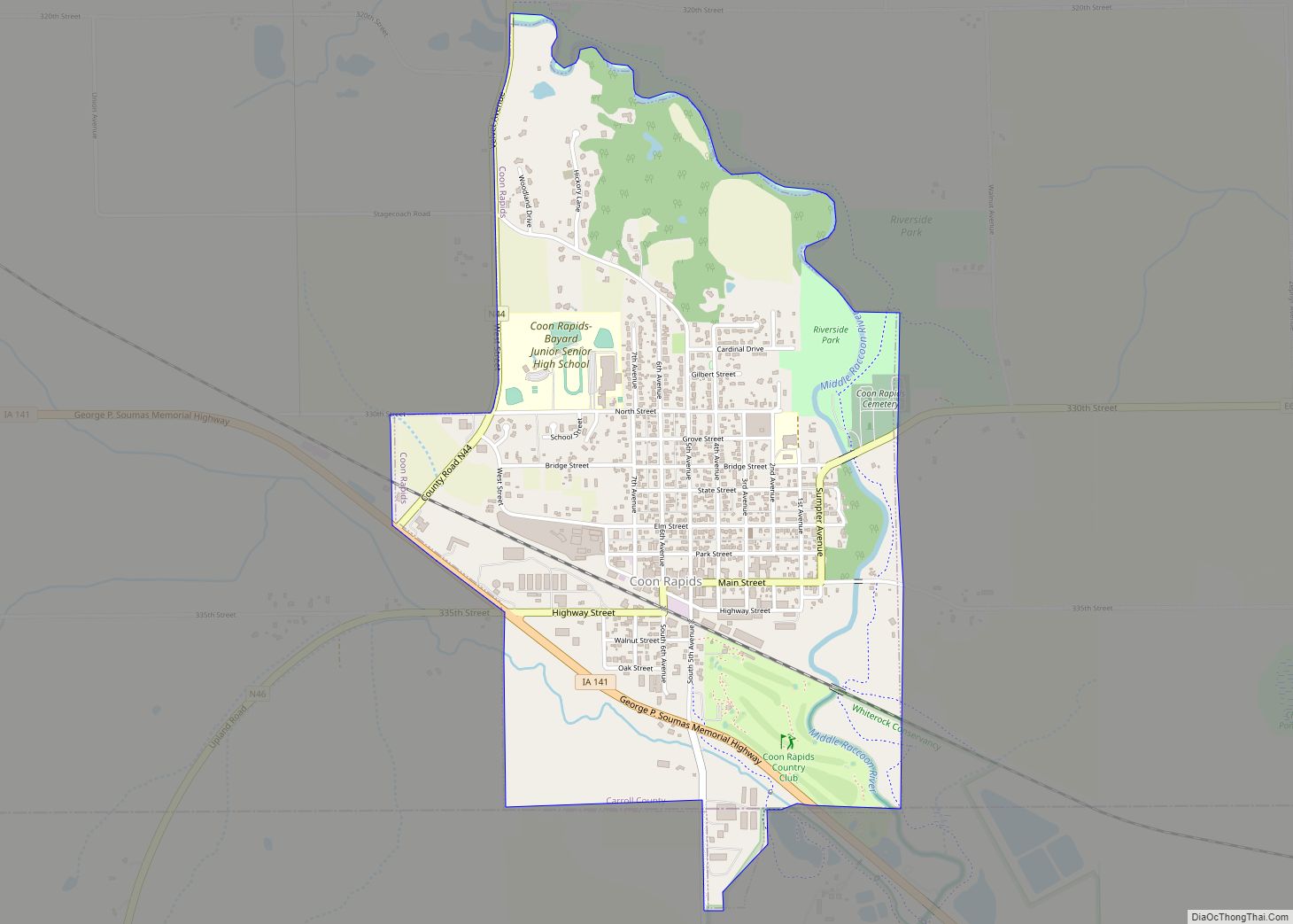
Coon Rapids is a city in Carroll and Guthrie counties in the U.S. state of Iowa. The population was 1,300 at the 2020 census, which is a decrease of 5 from the 2000. The small portion of Coon Rapids that lies in Guthrie County is part of the Des Moines–West Des Moines Metropolitan Statistical Area. ... Read more
Conway is a city in Taylor County, Iowa, United States. The population was 17 at the 2020 census. Conway city overview: Name: Conway city LSAD Code: 25 LSAD Description: city (suffix) State: Iowa County: Taylor County Elevation: 1,211 ft (369 m) Total Area: 0.22 sq mi (0.57 km²) Land Area: 0.22 sq mi (0.57 km²) Water Area: 0.00 sq mi (0.00 km²) Total Population: 17 Population ... Read more
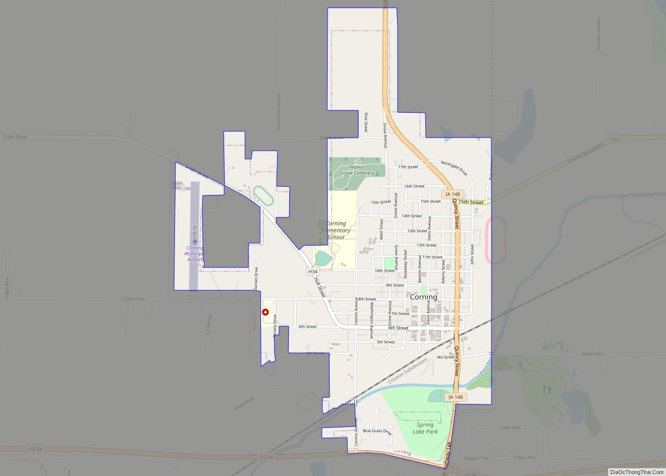
Corning is a city in Quincy Township, Adams County, Iowa, United States. The population was 1,564 at the 2020 census. It is the county seat of Adams County. Corning is located just north of the intersection of U.S. Route 34 and Iowa Highway 148. Corning is perhaps best known as the birthplace of Johnny Carson. ... Read more
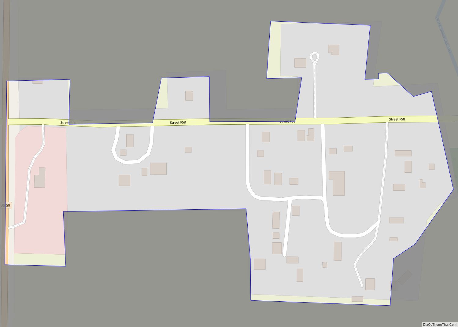
Corley is an unincorporated community and census-designated place in Shelby County, Iowa, in the United States. As of the 2010 Census the population of Corley was 26. Corley CDP overview: Name: Corley CDP LSAD Code: 57 LSAD Description: CDP (suffix) State: Iowa County: Shelby County Elevation: 1,184 ft (361 m) Total Area: 0.06 sq mi (0.15 km²) Land Area: 0.06 sq mi ... Read more
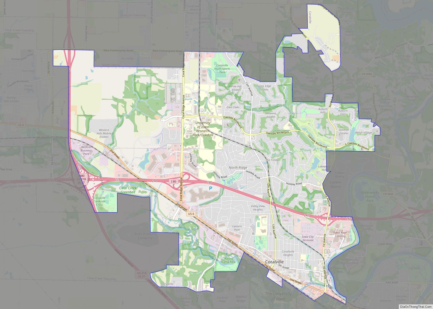
Coralville is a city in Johnson County, Iowa, United States. It is a suburb of Iowa City and part of the Iowa City Metropolitan Statistical Area. The population was 22,318 at the 2020 census. Coralville city overview: Name: Coralville city LSAD Code: 25 LSAD Description: city (suffix) State: Iowa County: Johnson County Incorporated: 1873 Elevation: ... Read more
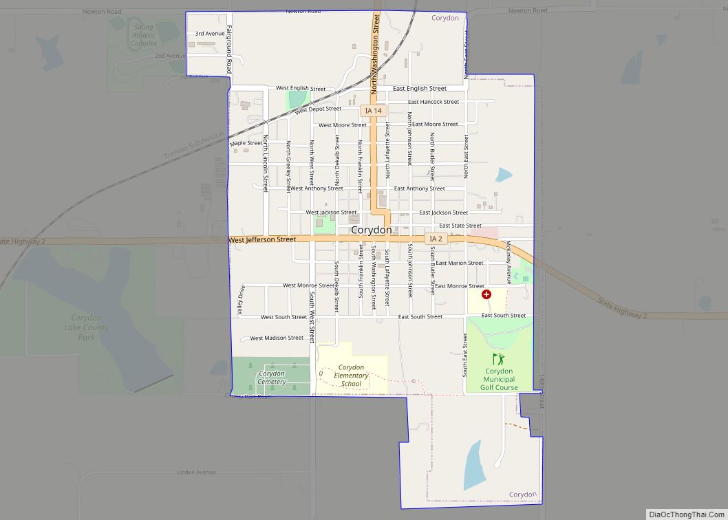
Corydon is a city in Wayne County, Iowa, United States. The population was 1,526 in the 2020 census, a decline from 1,591 in 2000. It is the county seat of Wayne County. The town was laid out and platted in 1851 and later that year designated as the county seat. The town was named by ... Read more
