Corydon is a city in Wayne County, Iowa, United States. The population was 1,526 in the 2020 census, a decline from 1,591 in 2000. It is the county seat of Wayne County.
The town was laid out and platted in 1851 and later that year designated as the county seat. The town was named by county judge Seth Anderson after his old home town of Corydon, Indiana.
Corydon is the hometown of Olympic gold medalist George Saling. Saling won the 110 meter hurdles in the 1932 Summer Olympics in Los Angeles with a time of 14.6 seconds.
The school district’s sports complex bears his name, Saling Sports Complex, and the annual George Saling Race is part of the community’s Old Settler’s Celebration held the second weekend in August. Each year, Wayne Community High School’s class reunions are held during the Old Settler’s Celebration while the majority of former students are in town visiting relatives and friends.
| Name: | Corydon city |
|---|---|
| LSAD Code: | 25 |
| LSAD Description: | city (suffix) |
| State: | Iowa |
| County: | Wayne County |
| Incorporated: | April 27, 1867 |
| Elevation: | 1,093 ft (333 m) |
| Total Area: | 1.35 sq mi (3.49 km²) |
| Land Area: | 1.35 sq mi (3.49 km²) |
| Water Area: | 0.00 sq mi (0.00 km²) |
| Total Population: | 1,526 |
| Population Density: | 1,131.21/sq mi (436.69/km²) |
| ZIP code: | 50060 |
| Area code: | 641 |
| FIPS code: | 1916635 |
| GNISfeature ID: | 0455647 |
| Website: | www.cityofcorydoniowa.com |
Online Interactive Map
Click on ![]() to view map in "full screen" mode.
to view map in "full screen" mode.
Corydon location map. Where is Corydon city?
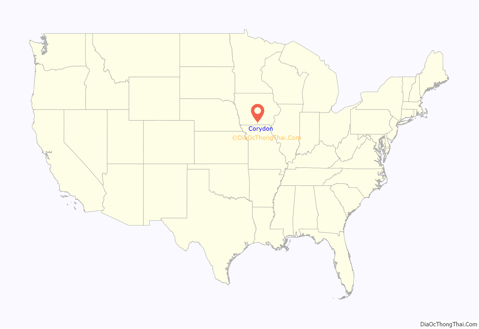
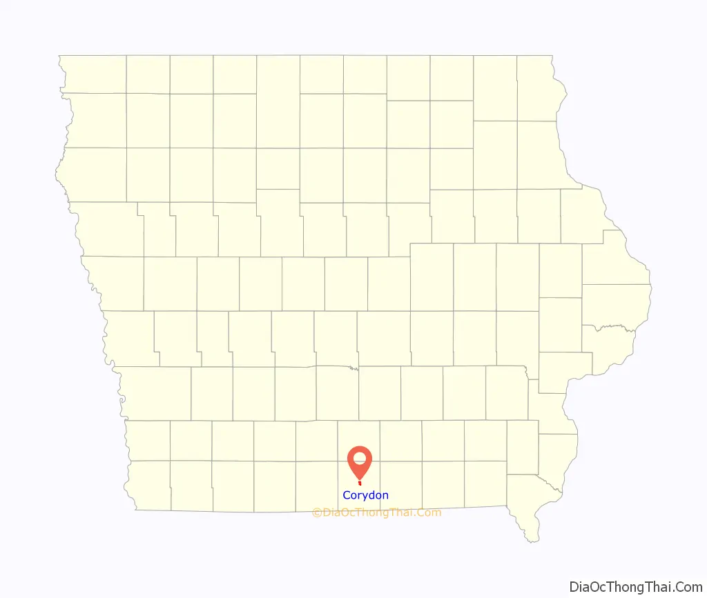
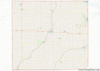
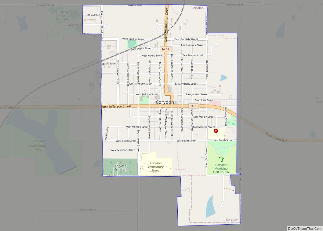
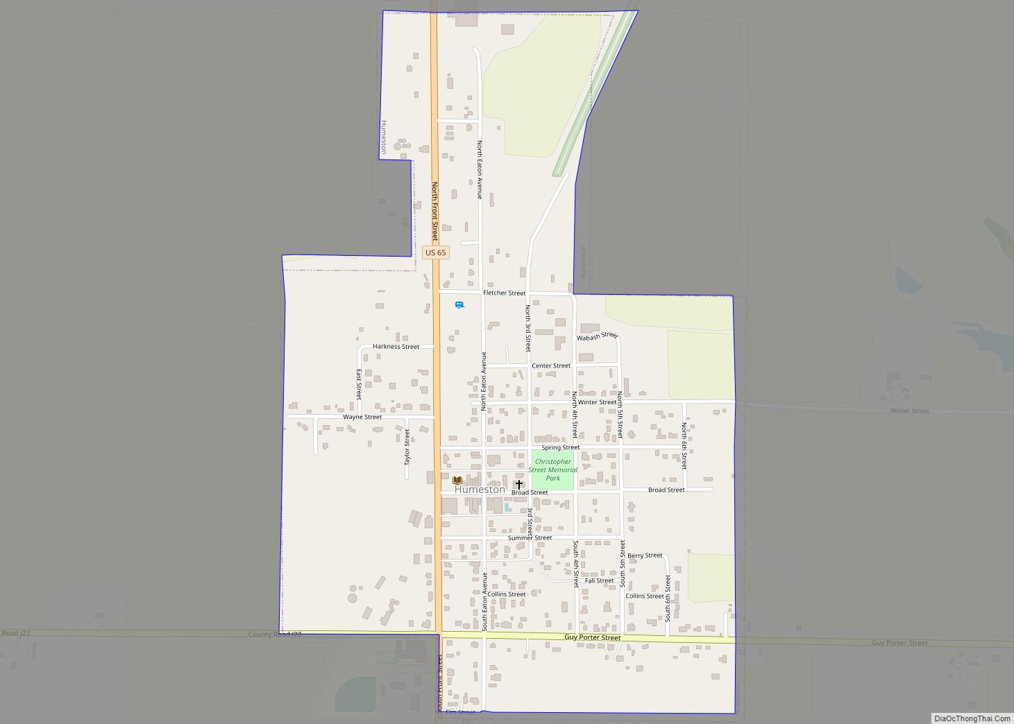
Corydon Road Map
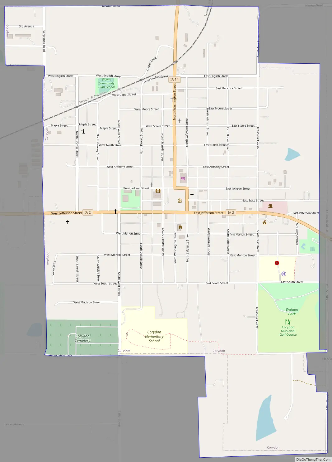
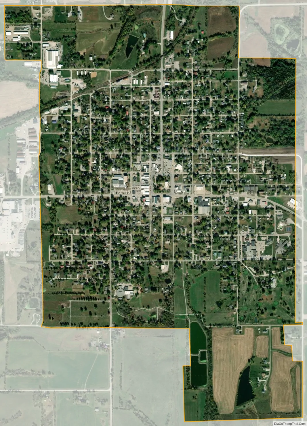
Corydon city Satellite Map
Geography
Corydon’s longitude and latitude coordinates in decimal form are 40.759058, -93.317758.
According to the United States Census Bureau, the city has a total area of 1.39 square miles (3.60 km), all land.
See also
Map of Iowa State and its subdivision:- Adair
- Adams
- Allamakee
- Appanoose
- Audubon
- Benton
- Black Hawk
- Boone
- Bremer
- Buchanan
- Buena Vista
- Butler
- Calhoun
- Carroll
- Cass
- Cedar
- Cerro Gordo
- Cherokee
- Chickasaw
- Clarke
- Clay
- Clayton
- Clinton
- Crawford
- Dallas
- Davis
- Decatur
- Delaware
- Des Moines
- Dickinson
- Dubuque
- Emmet
- Fayette
- Floyd
- Franklin
- Fremont
- Greene
- Grundy
- Guthrie
- Hamilton
- Hancock
- Hardin
- Harrison
- Henry
- Howard
- Humboldt
- Ida
- Iowa
- Jackson
- Jasper
- Jefferson
- Johnson
- Jones
- Keokuk
- Kossuth
- Lee
- Linn
- Louisa
- Lucas
- Lyon
- Madison
- Mahaska
- Marion
- Marshall
- Mills
- Mitchell
- Monona
- Monroe
- Montgomery
- Muscatine
- O'Brien
- Osceola
- Page
- Palo Alto
- Plymouth
- Pocahontas
- Polk
- Pottawattamie
- Poweshiek
- Ringgold
- Sac
- Scott
- Shelby
- Sioux
- Story
- Tama
- Taylor
- Union
- Van Buren
- Wapello
- Warren
- Washington
- Wayne
- Webster
- Winnebago
- Winneshiek
- Woodbury
- Worth
- Wright
- Alabama
- Alaska
- Arizona
- Arkansas
- California
- Colorado
- Connecticut
- Delaware
- District of Columbia
- Florida
- Georgia
- Hawaii
- Idaho
- Illinois
- Indiana
- Iowa
- Kansas
- Kentucky
- Louisiana
- Maine
- Maryland
- Massachusetts
- Michigan
- Minnesota
- Mississippi
- Missouri
- Montana
- Nebraska
- Nevada
- New Hampshire
- New Jersey
- New Mexico
- New York
- North Carolina
- North Dakota
- Ohio
- Oklahoma
- Oregon
- Pennsylvania
- Rhode Island
- South Carolina
- South Dakota
- Tennessee
- Texas
- Utah
- Vermont
- Virginia
- Washington
- West Virginia
- Wisconsin
- Wyoming