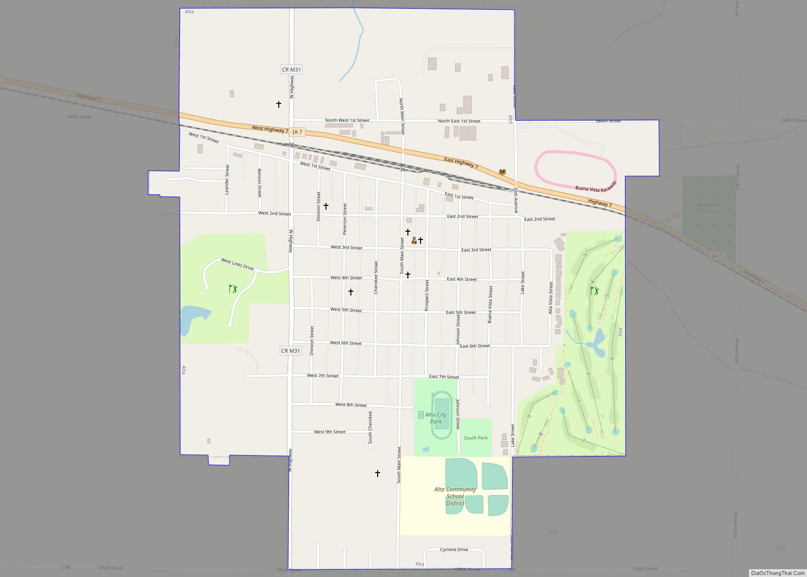
Alta is a city in Buena Vista County, Iowa, United States. The population was 2,087 at the 2020 census. Alta city overview: Name: Alta city LSAD Code: 25 LSAD Description: city (suffix) State: Iowa County: Buena Vista County Elevation: 1,490 ft (454 m) Total Area: 1.08 sq mi (2.79 km²) Land Area: 1.08 sq mi (2.79 km²) Water Area: 0.00 sq mi (0.00 km²) Total Population: ... Read more
Iowa Cities and Places
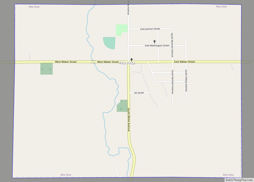
Alta Vista is a city in Chickasaw County, Iowa, United States. The population was 227 at the 2020 census. The town was first named Elk Creek, but was changed to Alta Vista, meaning “high view” in Spanish. The town was established and incorporated in 1894. The George Darrow Round Barn in Alta Vista is listed ... Read more
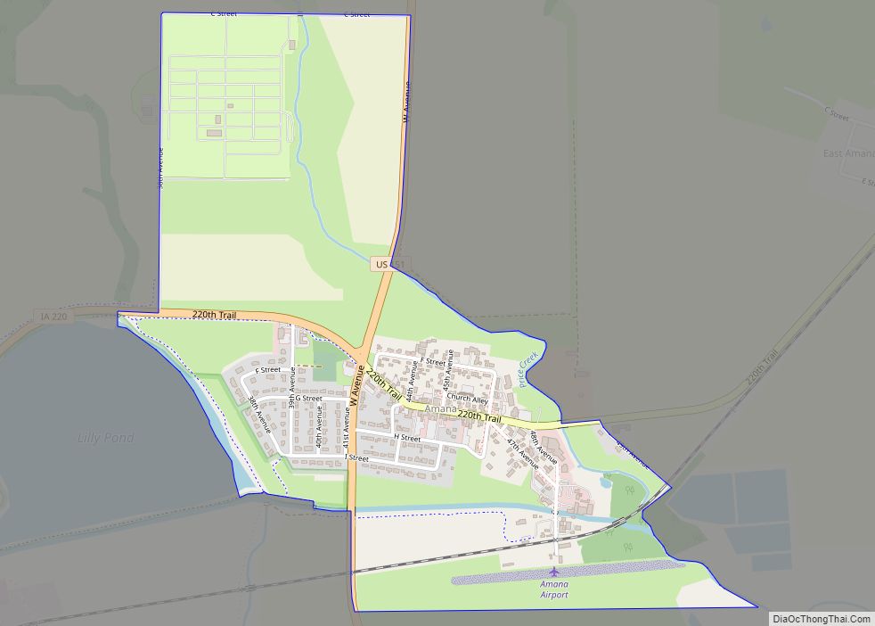
Amana is an unincorporated community and census-designated place (CDP) in Iowa County, Iowa, United States. It is one of the Amana Colonies, seven villages built by German Pietists in the 19th century. As of the 2020 census, Amana had a population of 388, down from 442 in the 2010 census. Amana CDP overview: Name: Amana ... Read more
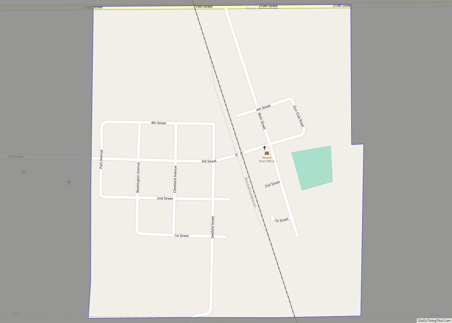
Alvord is a city in Lyon County, Iowa, United States. The population was 206 at the 2020 census. Alvord city overview: Name: Alvord city LSAD Code: 25 LSAD Description: city (suffix) State: Iowa County: Lyon County Elevation: 1,322 ft (403 m) Total Area: 0.58 sq mi (1.50 km²) Land Area: 0.58 sq mi (1.50 km²) Water Area: 0.00 sq mi (0.00 km²) Total Population: 206 Population ... Read more
Altoona is a city in Polk County, Iowa, United States, and is a part of the Des Moines metropolitan area. The population was 19,565 at the 2020 census. Altoona is home of the Adventureland amusement park and Prairie Meadows horse racing track and casino. Altoona city overview: Name: Altoona city LSAD Code: 25 LSAD Description: ... Read more
Anderson is a CDP in Fremont County, Iowa, United States. In 2010, the population of the CDP was 65. Anderson CDP overview: Name: Anderson CDP LSAD Code: 57 LSAD Description: CDP (suffix) State: Iowa County: Fremont County Elevation: 994 ft (303 m) Total Area: 0.33 sq mi (0.85 km²) Land Area: 0.33 sq mi (0.85 km²) Water Area: 0.00 sq mi (0.00 km²) Total Population: 37 ... Read more
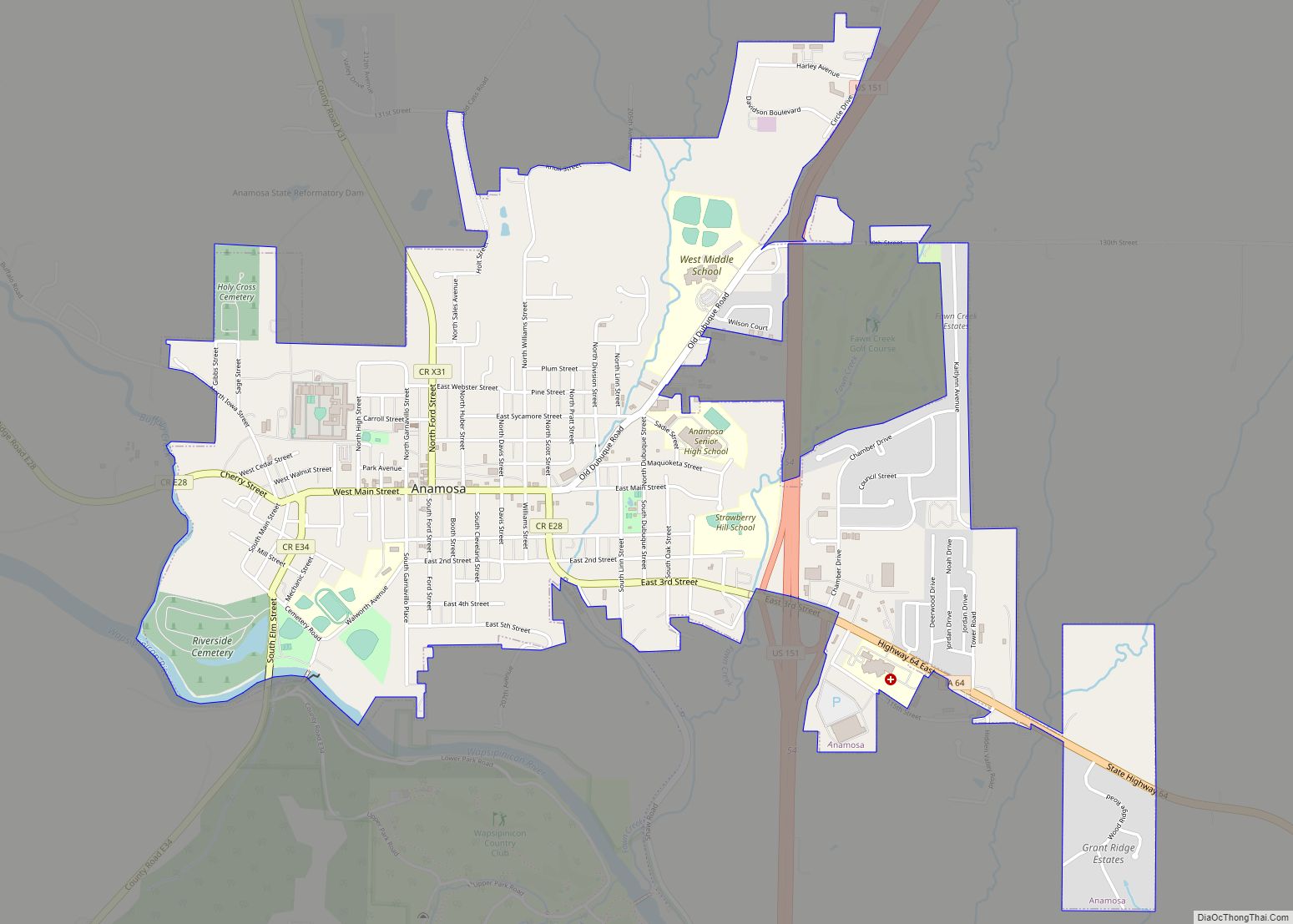
Anamosa is a city in Jones County, Iowa, United States. The population was 5,450 at the 2020 census. It is the county seat of Jones County. Anamosa city overview: Name: Anamosa city LSAD Code: 25 LSAD Description: city (suffix) State: Iowa County: Jones County Elevation: 830 ft (253 m) Total Area: 2.53 sq mi (6.56 km²) Land Area: 2.52 sq mi (6.54 km²) ... Read more
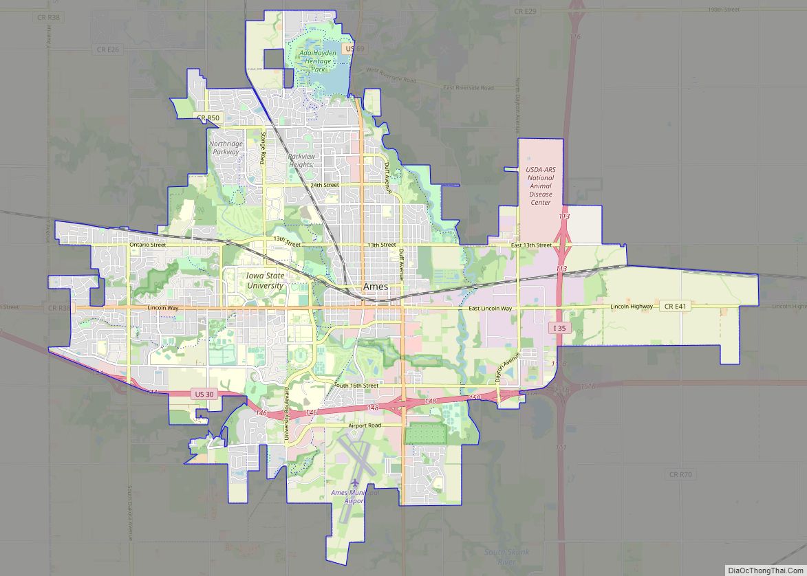
Ames (/eɪmz/) is a city in Story County, Iowa, United States, located approximately 30 miles (48 km) north of Des Moines in central Iowa. It is best known as the home of Iowa State University (ISU), with leading agriculture, design, engineering, and veterinary medicine colleges. A United States Department of Energy national laboratory, Ames Laboratory, is ... Read more
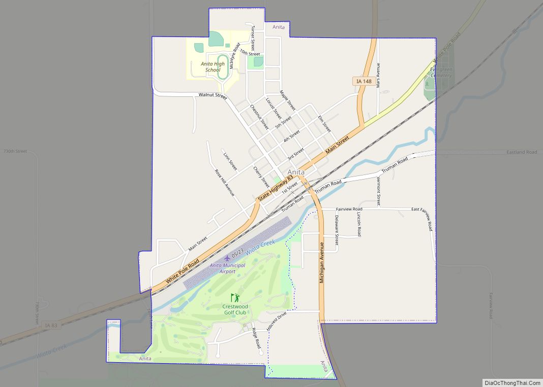
Anita is a city in Cass County, Iowa, United States, platted in 1869 and incorporated in 1875. The population was 963 at the 2020 census. Lake Anita State Park is located just outside the town. Anita city overview: Name: Anita city LSAD Code: 25 LSAD Description: city (suffix) State: Iowa County: Cass County Elevation: 1,276 ft ... Read more
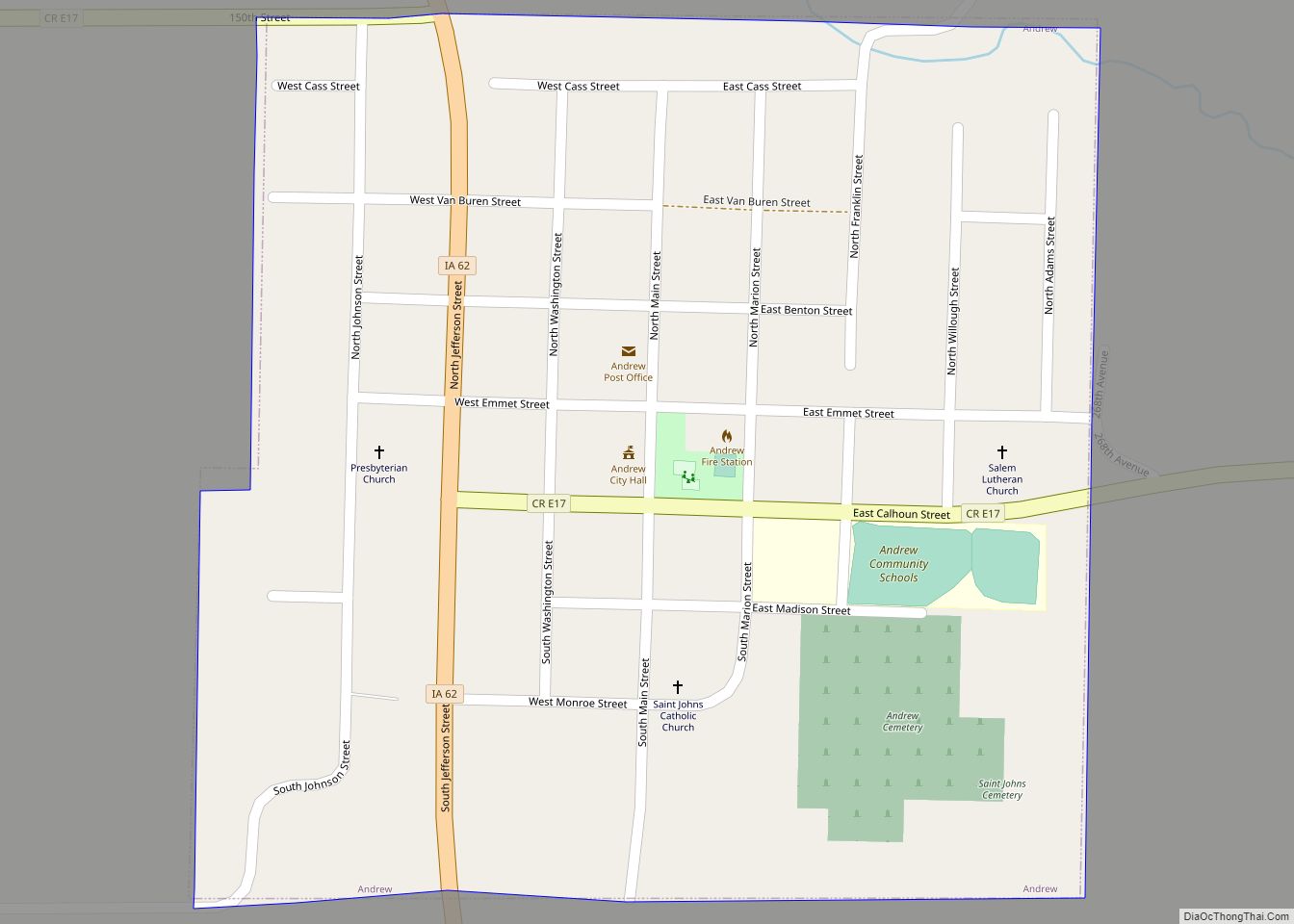
Andrew is a small city in central Jackson County, Iowa, United States. The population was 380 at the 2020 census. Andrew city overview: Name: Andrew city LSAD Code: 25 LSAD Description: city (suffix) State: Iowa County: Jackson County Incorporated: August 4, 1863 Elevation: 883 ft (269 m) Total Area: 0.25 sq mi (0.64 km²) Land Area: 0.25 sq mi (0.64 km²) Water Area: ... Read more
Andover is a city in Clinton County, Iowa, United States. The population was 109 at the 2020 census. Andover city overview: Name: Andover city LSAD Code: 25 LSAD Description: city (suffix) State: Iowa County: Clinton County Elevation: 728 ft (222 m) Total Area: 0.18 sq mi (0.46 km²) Land Area: 0.18 sq mi (0.46 km²) Water Area: 0.00 sq mi (0.00 km²) Total Population: 109 Population ... Read more
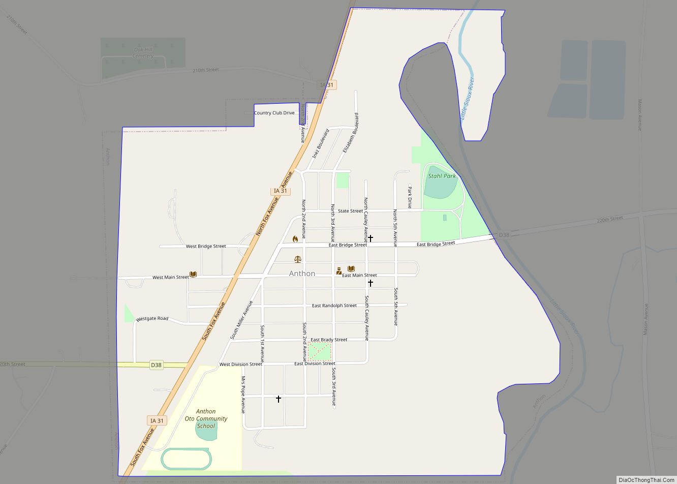
Anthon is a city in Woodbury County in the U.S. state of Iowa. It is part of the Sioux City, IA–NE–SD Metropolitan Statistical Area. The population was 545 at the 2020 census. Anthon was home to Charles Osborne, who had the hiccups continuously for 68 years, and was featured in the Guinness Book of World ... Read more
