Anamosa is a city in Jones County, Iowa, United States. The population was 5,450 at the 2020 census. It is the county seat of Jones County.
| Name: | Anamosa city |
|---|---|
| LSAD Code: | 25 |
| LSAD Description: | city (suffix) |
| State: | Iowa |
| County: | Jones County |
| Elevation: | 830 ft (253 m) |
| Total Area: | 2.53 sq mi (6.56 km²) |
| Land Area: | 2.52 sq mi (6.54 km²) |
| Water Area: | 0.01 sq mi (0.02 km²) |
| Total Population: | 5,450 |
| Population Density: | 2,159.27/sq mi (833.72/km²) |
| ZIP code: | 52205 |
| Area code: | 319 |
| FIPS code: | 1901990 |
| GNISfeature ID: | 0454176 |
| Website: | www.anamosa-iowa.org |
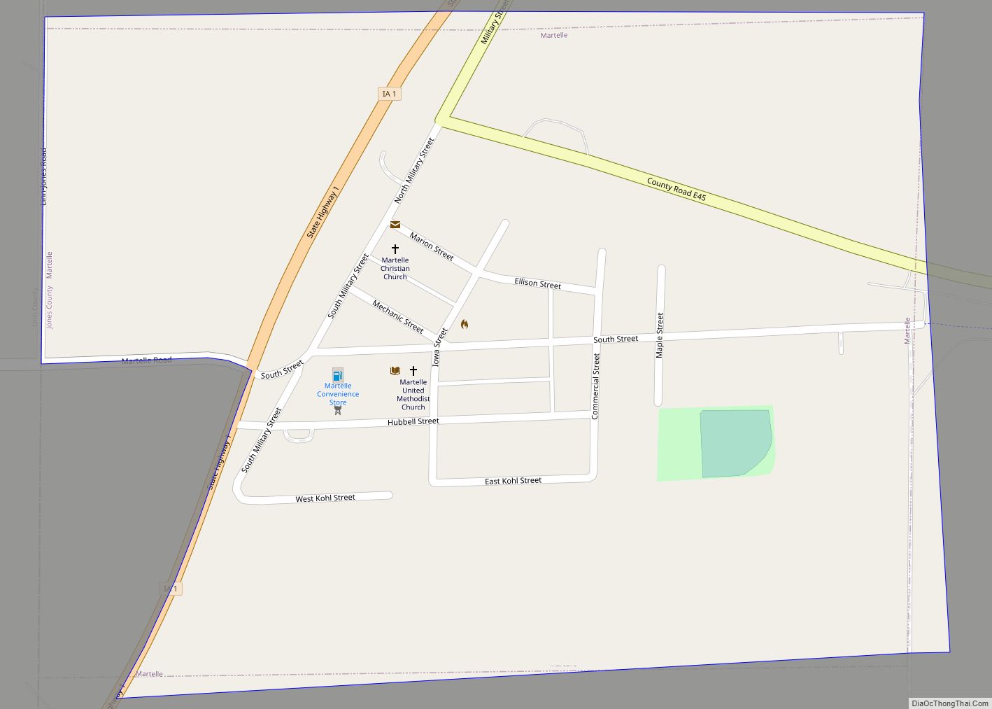
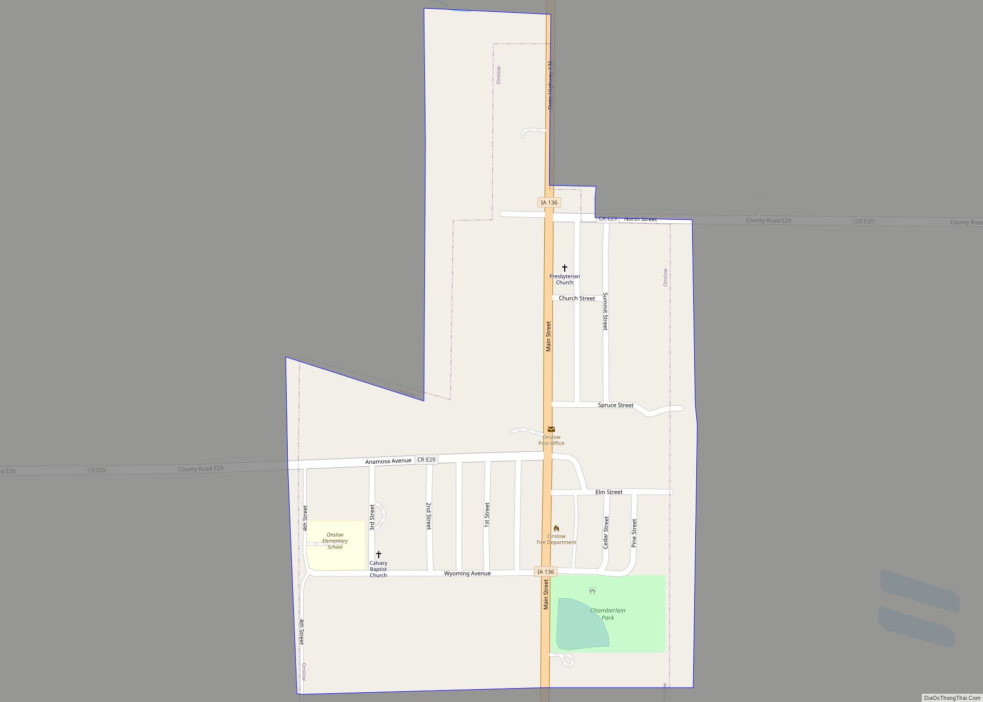
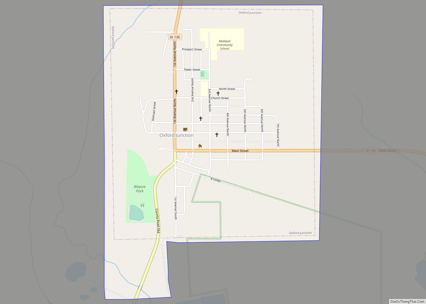
Online Interactive Map
Click on ![]() to view map in "full screen" mode.
to view map in "full screen" mode.
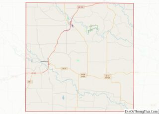
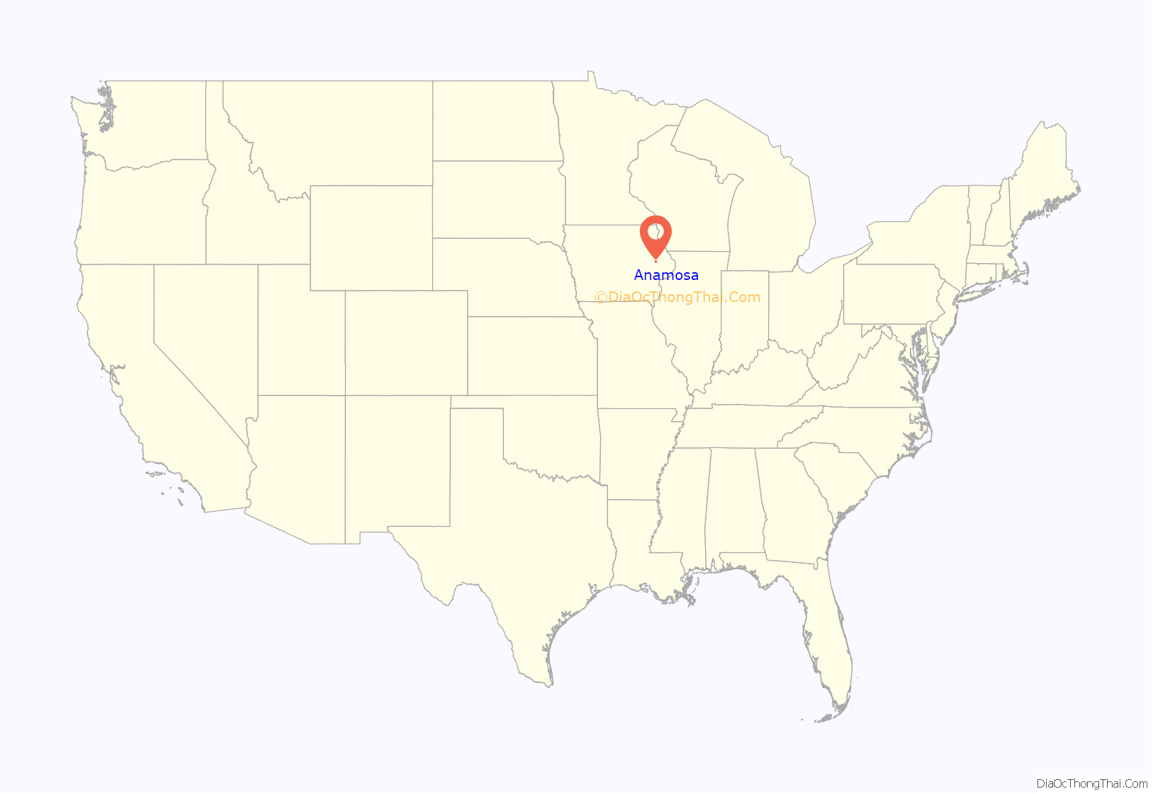
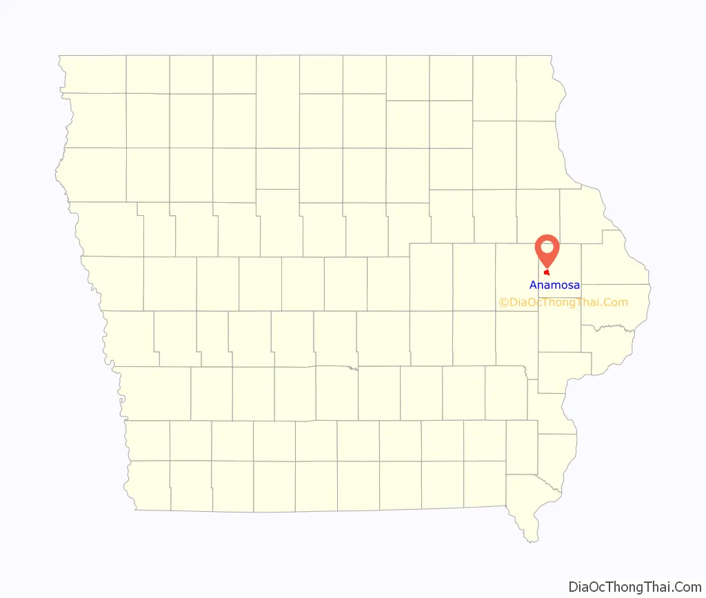
Anamosa location map. Where is Anamosa city?
History
What is now Anamosa was founded as the settlement of Buffalo Forks in 1838 and incorporated as Lexington in 1856. Lexington was a popular name for towns at that time, so when Lexington chose to become incorporated as a city in 1877, the name was changed to Anamosa to avoid mail delivery confusion. There are many stories on how Anamosa was chosen as a name. Some believe it was named for a local Native American girl named Anamosa, meaning “white fawn”, while others say it means “You walk with me.”
The romantic origin of the naming of the town of Anamosa comes from its early history. A Native American family was passing through town in 1842. The family stayed at the Ford House. The little girl, a Native American Princess, named Anamosa, endeared herself to the townspeople and following the family’s departure from town, local citizens decided to name their town after her.
The Wapsipinicon River flows through Anamosa. According to legend, a Native American maiden and her lover threw themselves off a bluff overlooking the Wapsipinicon River; one was named Wapsi, the other Pinicon. Origins of this legend are unconfirmed.
Anamosa was named the Pumpkin Capital of Iowa by the Iowa State Legislature in 1993 and hosts Pumpkinfest, a pumpkin festival and weigh-off, each October.
The Anamosa Boot Hill Cemetery is still open today and is northwest of the town.
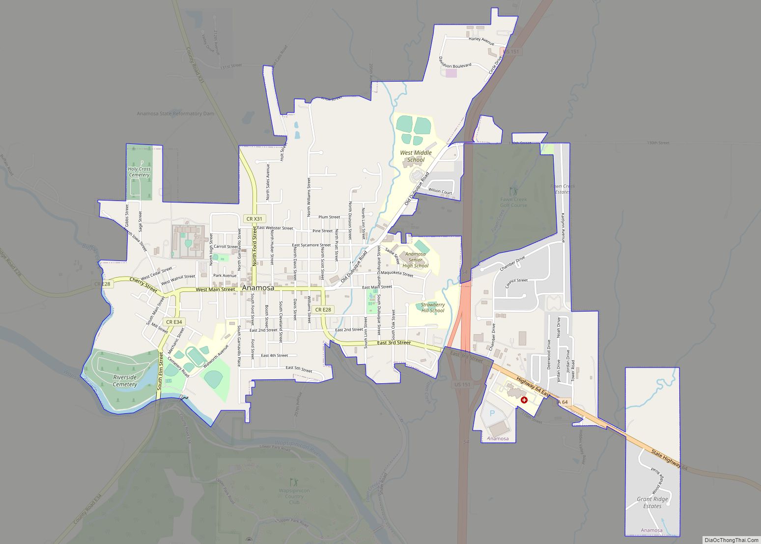
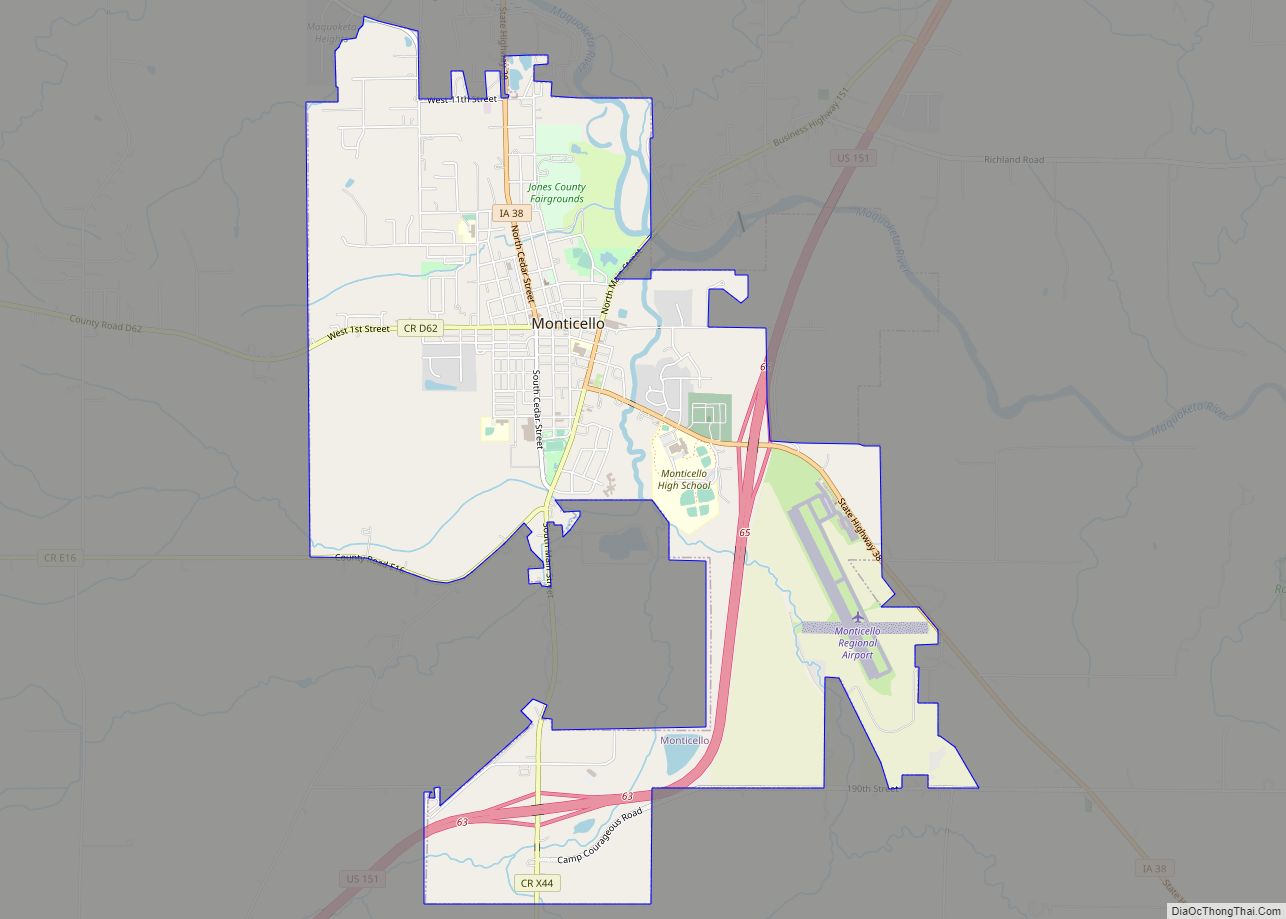
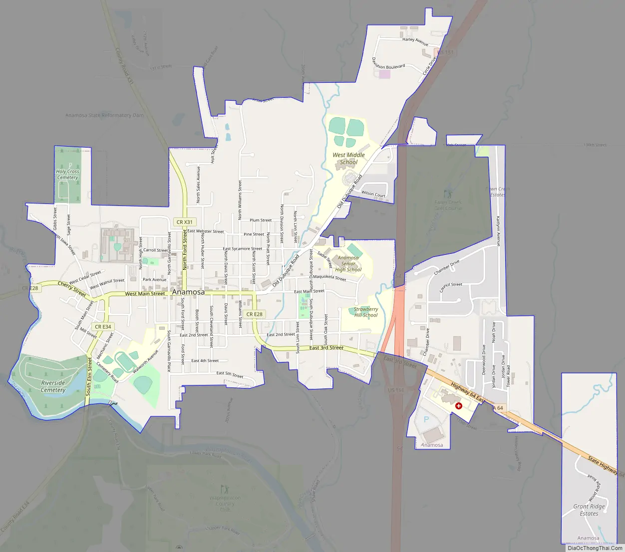
Anamosa Road Map
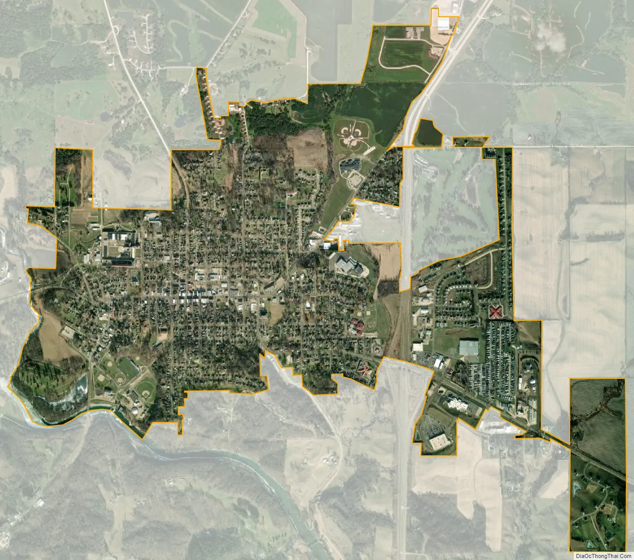
Anamosa city Satellite Map
Geography
Anamosa’s longitude and latitude coordinates in decimal form are 42.108954, -91.281476. According to the United States Census Bureau, the city has a total area of 2.61 square miles (6.76 km), of which 2.60 square miles (6.73 km) is land and 0.01 square miles (0.03 km) is water.
The Wapsipinicon River flows through the city of Anamosa. Anamosa is served by U.S. Route 151 and Iowa Highway 64.
See also
Map of Iowa State and its subdivision:- Adair
- Adams
- Allamakee
- Appanoose
- Audubon
- Benton
- Black Hawk
- Boone
- Bremer
- Buchanan
- Buena Vista
- Butler
- Calhoun
- Carroll
- Cass
- Cedar
- Cerro Gordo
- Cherokee
- Chickasaw
- Clarke
- Clay
- Clayton
- Clinton
- Crawford
- Dallas
- Davis
- Decatur
- Delaware
- Des Moines
- Dickinson
- Dubuque
- Emmet
- Fayette
- Floyd
- Franklin
- Fremont
- Greene
- Grundy
- Guthrie
- Hamilton
- Hancock
- Hardin
- Harrison
- Henry
- Howard
- Humboldt
- Ida
- Iowa
- Jackson
- Jasper
- Jefferson
- Johnson
- Jones
- Keokuk
- Kossuth
- Lee
- Linn
- Louisa
- Lucas
- Lyon
- Madison
- Mahaska
- Marion
- Marshall
- Mills
- Mitchell
- Monona
- Monroe
- Montgomery
- Muscatine
- O'Brien
- Osceola
- Page
- Palo Alto
- Plymouth
- Pocahontas
- Polk
- Pottawattamie
- Poweshiek
- Ringgold
- Sac
- Scott
- Shelby
- Sioux
- Story
- Tama
- Taylor
- Union
- Van Buren
- Wapello
- Warren
- Washington
- Wayne
- Webster
- Winnebago
- Winneshiek
- Woodbury
- Worth
- Wright
- Alabama
- Alaska
- Arizona
- Arkansas
- California
- Colorado
- Connecticut
- Delaware
- District of Columbia
- Florida
- Georgia
- Hawaii
- Idaho
- Illinois
- Indiana
- Iowa
- Kansas
- Kentucky
- Louisiana
- Maine
- Maryland
- Massachusetts
- Michigan
- Minnesota
- Mississippi
- Missouri
- Montana
- Nebraska
- Nevada
- New Hampshire
- New Jersey
- New Mexico
- New York
- North Carolina
- North Dakota
- Ohio
- Oklahoma
- Oregon
- Pennsylvania
- Rhode Island
- South Carolina
- South Dakota
- Tennessee
- Texas
- Utah
- Vermont
- Virginia
- Washington
- West Virginia
- Wisconsin
- Wyoming