Altoona is a city in Polk County, Iowa, United States, and is a part of the Des Moines metropolitan area. The population was 19,565 at the 2020 census.
Altoona is home of the Adventureland amusement park and Prairie Meadows horse racing track and casino.
| Name: | Altoona city |
|---|---|
| LSAD Code: | 25 |
| LSAD Description: | city (suffix) |
| State: | Iowa |
| County: | Polk County |
| Elevation: | 955 ft (291 m) |
| Total Area: | 11.69 sq mi (30.28 km²) |
| Land Area: | 11.68 sq mi (30.25 km²) |
| Water Area: | 0.01 sq mi (0.03 km²) |
| Total Population: | 19,565 |
| Population Density: | 1,675.09/sq mi (646.76/km²) |
| ZIP code: | 50009 |
| Area code: | 515 |
| FIPS code: | 1901630 |
| GNISfeature ID: | 0454160 |
| Website: | www.altoona-iowa.com |
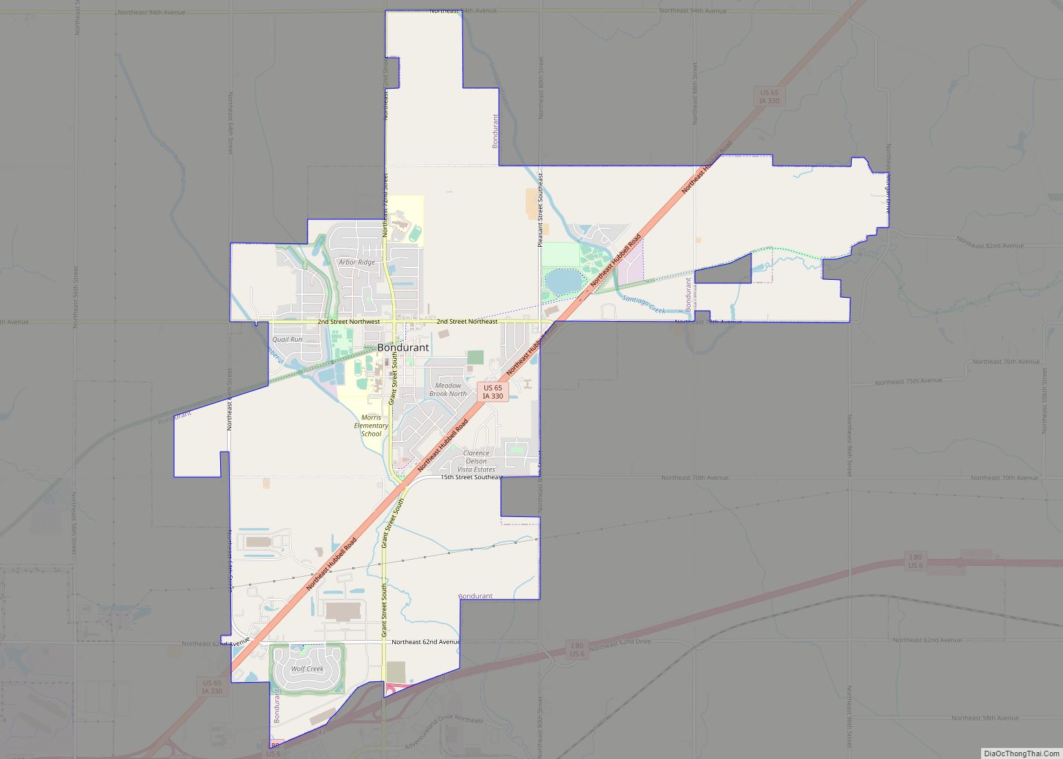
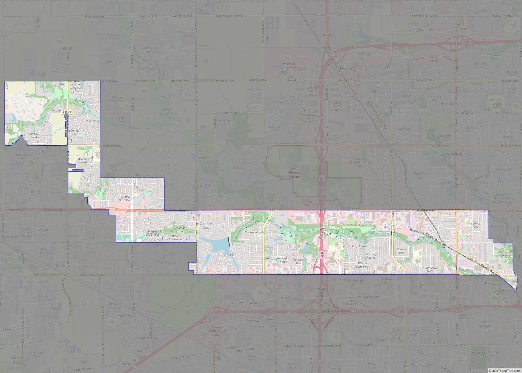
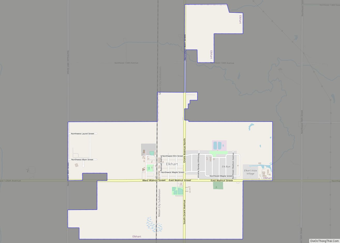
Online Interactive Map
Click on ![]() to view map in "full screen" mode.
to view map in "full screen" mode.
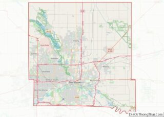
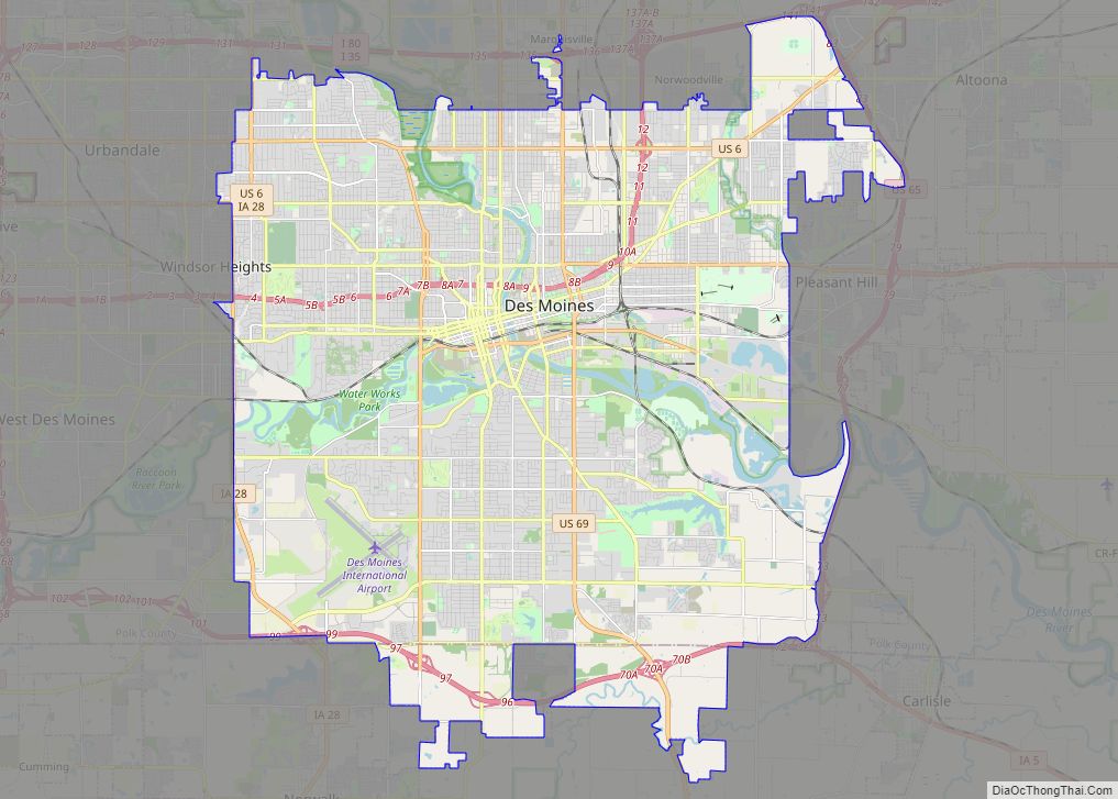
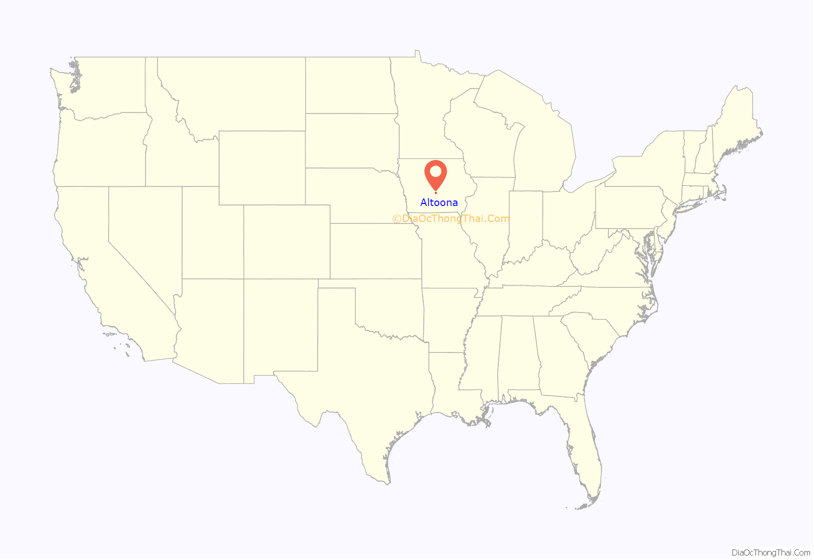
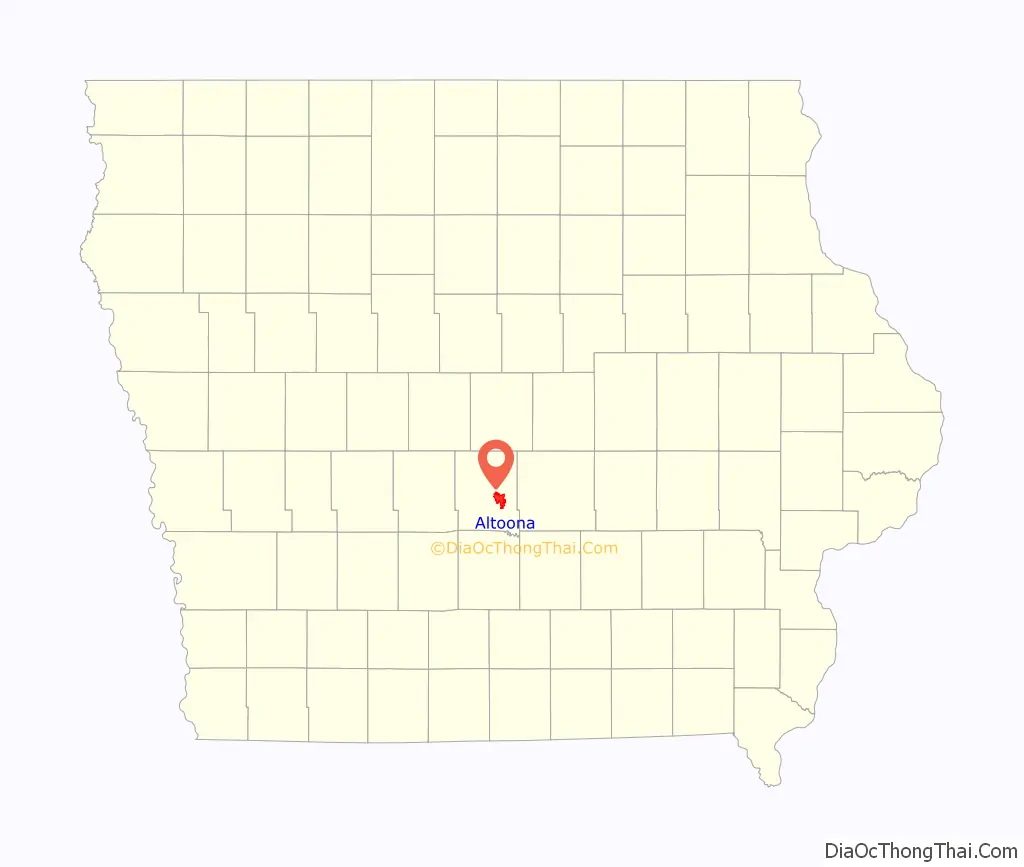
Altoona location map. Where is Altoona city?
History
Anthony Yant first settled in what is now Altoona in 1854, the same year Gilbert T. Taylor settled there. The land was originally surveyed in 1847 and put up for sale by the US government in 1848, but it took six years to sell. After many sales between different families, the Davis family ended up with the land on February 1, 1868.
The Davises hired surveyor Juian B. Bausman to lay out the city. He is also credited for giving the city the current name. Altoona is named for the Latin word for “high,” altus, after surveyor Julian B. Bausman discovered Altoona was the highest point on the Des Moines Valley Railroad between Des Moines and Keokuk.
The plot was recorded on July 30, 1868, and the Post office opened the next day. When the Rock Island Railroad came to Altoona in September of that year, they referred to Altoona as Yant, the city’s original name.
Altoona was incorporated as a city on March 11, 1876.
In addition to serving as Altoona’s first mayor, Francis English was the town doctor. After the great train crash of 1877, English was the first doctor on the scene.
Altoona’s second mayor was Thomas Haines, who operated the T.E. Haines tile and brick company. Haines donated land to the City of Altoona to be used as a park, now known as Haines Park.
The only other mayor of Altoona to have a park dedicated to him is Sam Wise, noted for paving the streets of Altoona, and building a sewer system that was advanced for its time and allowed for future expansion. His dedication to Altoona’s parks led to the city’s sports complex being named the “Sam Wise Youth Complex.”
By the turn of the 20th century, Altoona could almost be classified as a coal camp. United Mine Workers of America Local 407 was organized in Altoona in 1897, and by 1902, it had 61 members. This was close to 20 percent of the town’s population at the time.
On May 5, 2003, the Altoona City Council recognized the Altoona Area Historical Society as the City’s official organization to collect, secure, and preserve the artifacts and records of the City of Altoona and surrounding areas. In 2011 the Altoona Area Historical Society started major renovation work on the interior of Altoona’s oldest building. The building is now a museum.
In 2013, construction began for a new Facebook data center. Facebook asked local company RPM Access to build and operate a wind farm that will put more energy into the system than the data center will consume.
In February 2016, the Cinemark Altoona theater opened.
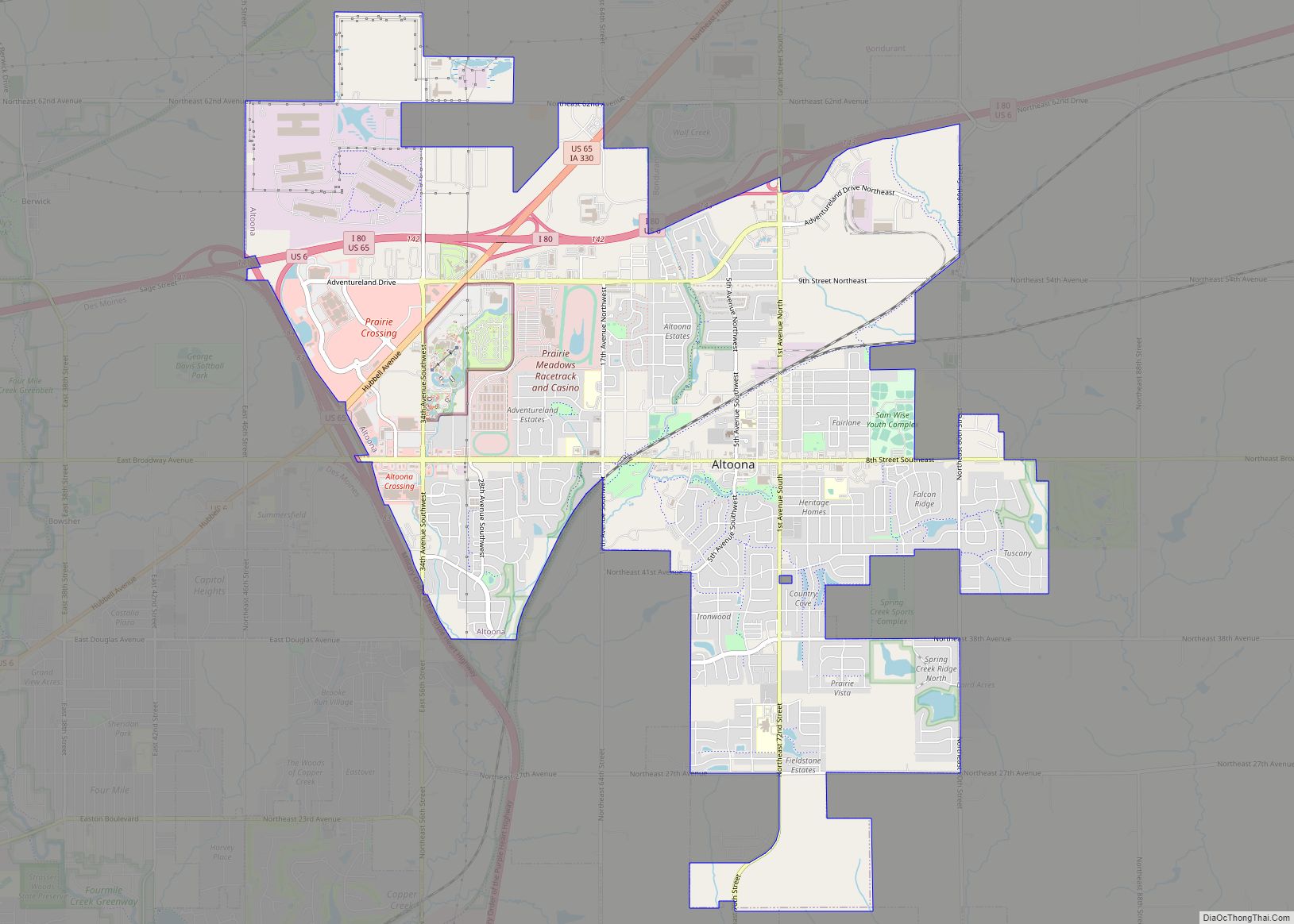
Altoona Road Map
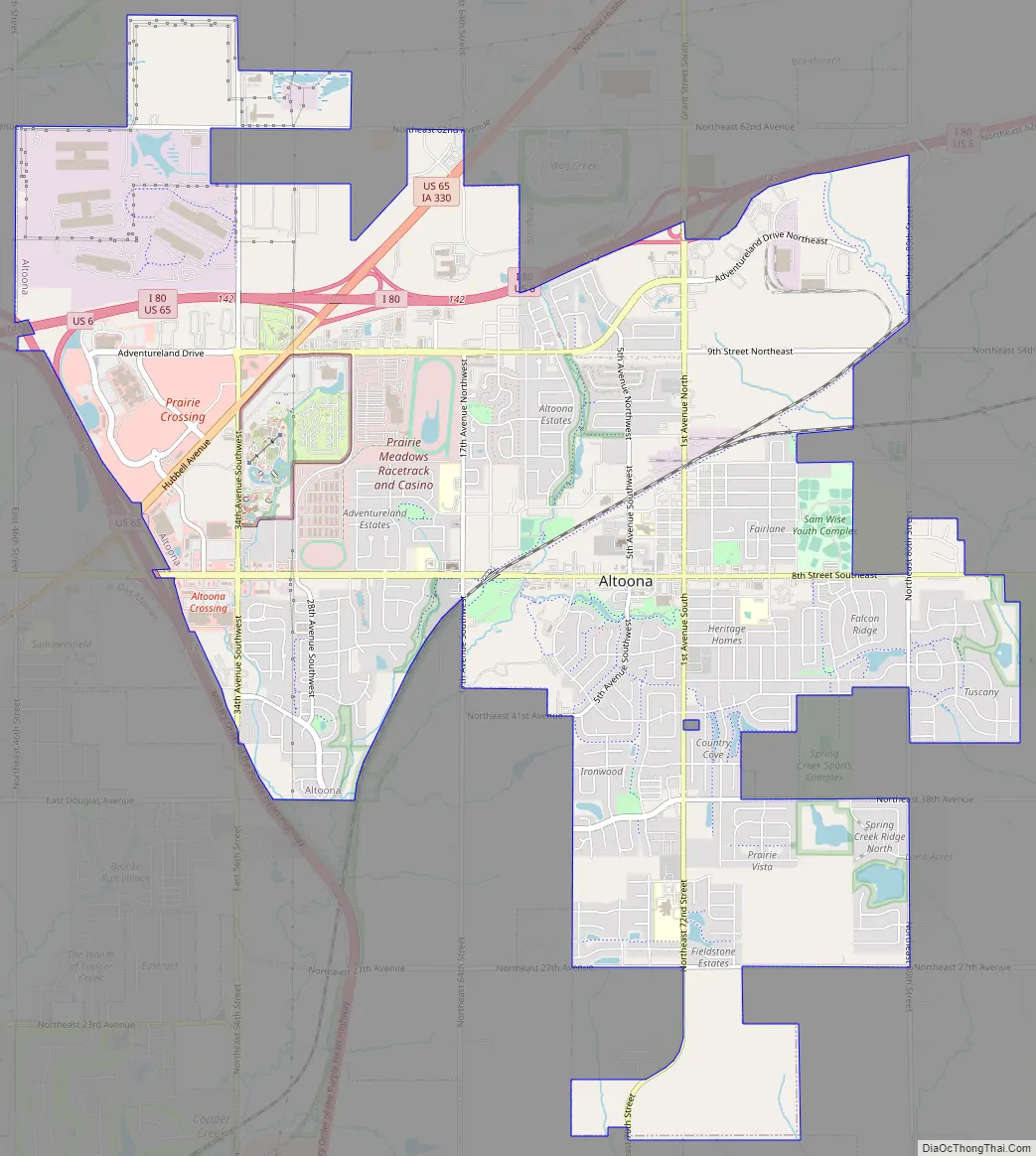
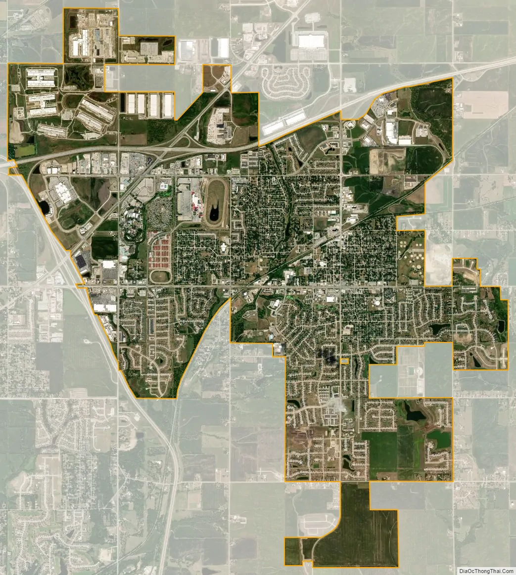
Altoona city Satellite Map
Geography
According to the United States Census Bureau, the city has an area of 9.35 square miles (24.22 km), all land.
See also
Map of Iowa State and its subdivision:- Adair
- Adams
- Allamakee
- Appanoose
- Audubon
- Benton
- Black Hawk
- Boone
- Bremer
- Buchanan
- Buena Vista
- Butler
- Calhoun
- Carroll
- Cass
- Cedar
- Cerro Gordo
- Cherokee
- Chickasaw
- Clarke
- Clay
- Clayton
- Clinton
- Crawford
- Dallas
- Davis
- Decatur
- Delaware
- Des Moines
- Dickinson
- Dubuque
- Emmet
- Fayette
- Floyd
- Franklin
- Fremont
- Greene
- Grundy
- Guthrie
- Hamilton
- Hancock
- Hardin
- Harrison
- Henry
- Howard
- Humboldt
- Ida
- Iowa
- Jackson
- Jasper
- Jefferson
- Johnson
- Jones
- Keokuk
- Kossuth
- Lee
- Linn
- Louisa
- Lucas
- Lyon
- Madison
- Mahaska
- Marion
- Marshall
- Mills
- Mitchell
- Monona
- Monroe
- Montgomery
- Muscatine
- O'Brien
- Osceola
- Page
- Palo Alto
- Plymouth
- Pocahontas
- Polk
- Pottawattamie
- Poweshiek
- Ringgold
- Sac
- Scott
- Shelby
- Sioux
- Story
- Tama
- Taylor
- Union
- Van Buren
- Wapello
- Warren
- Washington
- Wayne
- Webster
- Winnebago
- Winneshiek
- Woodbury
- Worth
- Wright
- Alabama
- Alaska
- Arizona
- Arkansas
- California
- Colorado
- Connecticut
- Delaware
- District of Columbia
- Florida
- Georgia
- Hawaii
- Idaho
- Illinois
- Indiana
- Iowa
- Kansas
- Kentucky
- Louisiana
- Maine
- Maryland
- Massachusetts
- Michigan
- Minnesota
- Mississippi
- Missouri
- Montana
- Nebraska
- Nevada
- New Hampshire
- New Jersey
- New Mexico
- New York
- North Carolina
- North Dakota
- Ohio
- Oklahoma
- Oregon
- Pennsylvania
- Rhode Island
- South Carolina
- South Dakota
- Tennessee
- Texas
- Utah
- Vermont
- Virginia
- Washington
- West Virginia
- Wisconsin
- Wyoming