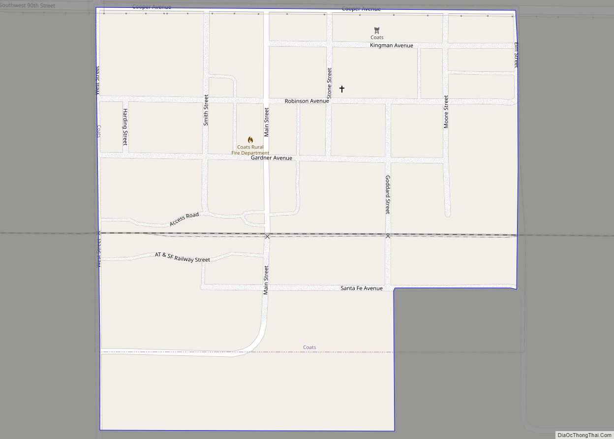
Coats is a city in Pratt County, Kansas, United States. As of the 2020 census, the population of the city was 68. Coats city overview: Name: Coats city LSAD Code: 25 LSAD Description: city (suffix) State: Kansas County: Pratt County Founded: 1887 Incorporated: 1909 Elevation: 1,975 ft (602 m) Total Area: 0.23 sq mi (0.59 km²) Land Area: 0.23 sq mi (0.59 km²) ... Read more
Kansas Cities and Places
Clyde is a city in Cloud County, Kansas, United States. As of the 2020 census, the population of the city was 694. It is located east of Concordia along state highway K-9. Clyde city overview: Name: Clyde city LSAD Code: 25 LSAD Description: city (suffix) State: Kansas County: Cloud County Founded: 1867 Incorporated: 1869 Elevation: ... Read more
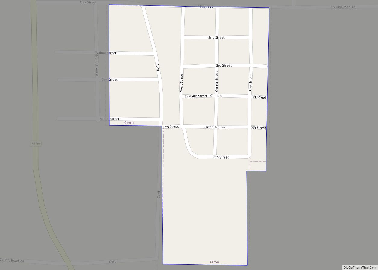
Climax is a city in Greenwood County, Kansas, United States. As of the 2020 census, the population of the city was 45. Climax city overview: Name: Climax city LSAD Code: 25 LSAD Description: city (suffix) State: Kansas County: Greenwood County Founded: 1884 Incorporated: 1923 Elevation: 1,040 ft (320 m) Total Area: 0.12 sq mi (0.31 km²) Land Area: 0.12 sq mi (0.31 km²) ... Read more
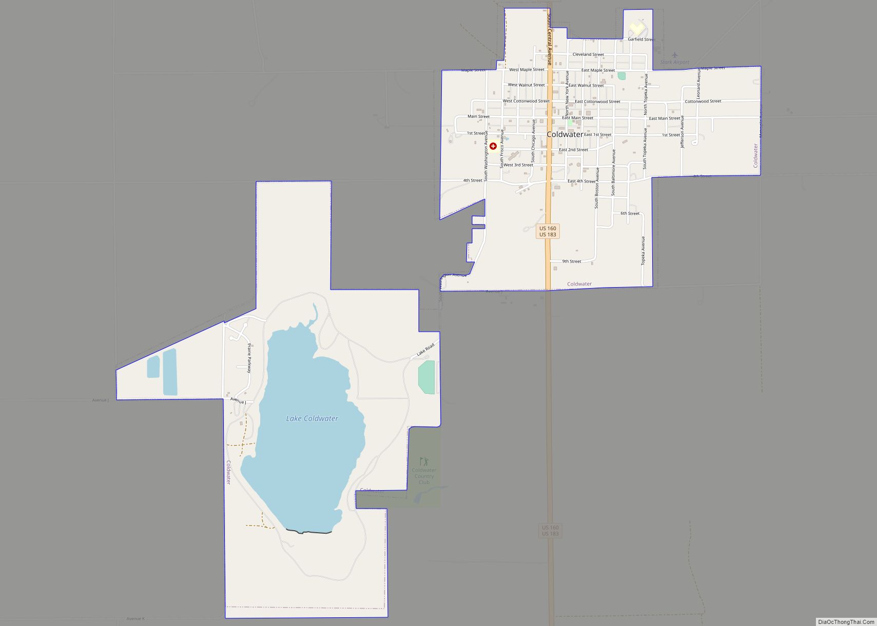
Coldwater is a city and county seat of Comanche County, Kansas, United States. As of the 2020 census, the population of the city was 687. Coldwater city overview: Name: Coldwater city LSAD Code: 25 LSAD Description: city (suffix) State: Kansas County: Comanche County Founded: 1884 Incorporated: 1885 Elevation: 2,100 ft (600 m) Total Area: 2.90 sq mi (7.51 km²) Land ... Read more
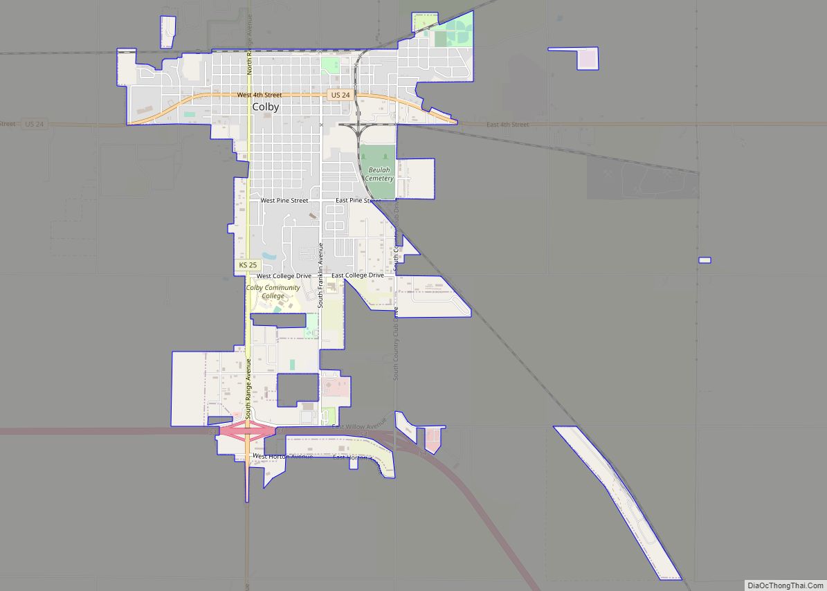
Colby is a city in and the county seat of Thomas County, Kansas, United States. As of the 2020 census, the population of the city was 5,570. Colby city overview: Name: Colby city LSAD Code: 25 LSAD Description: city (suffix) State: Kansas County: Thomas County Founded: 1885 Incorporated: 1886 Elevation: 3,160 ft (960 m) Total Area: 3.58 sq mi ... Read more
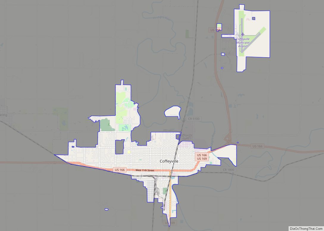
Coffeyville is a city in southeastern Montgomery County, Kansas, United States, located along the Verdigris River in the state’s southeastern region. As of the 2020 census, the population of the city was 8,826. Coffeyville is the most populous city of Montgomery County, and the home to Coffeyville Community College. The town of South Coffeyville, Oklahoma ... Read more
Columbus is the second largest city and county seat of Cherokee County, Kansas, United States. As of the 2020 census, the population of the city was 2,929. It is located approximately 15 miles south-southwest of Pittsburg. Columbus city overview: Name: Columbus city LSAD Code: 25 LSAD Description: city (suffix) State: Kansas County: Cherokee County Founded: ... Read more
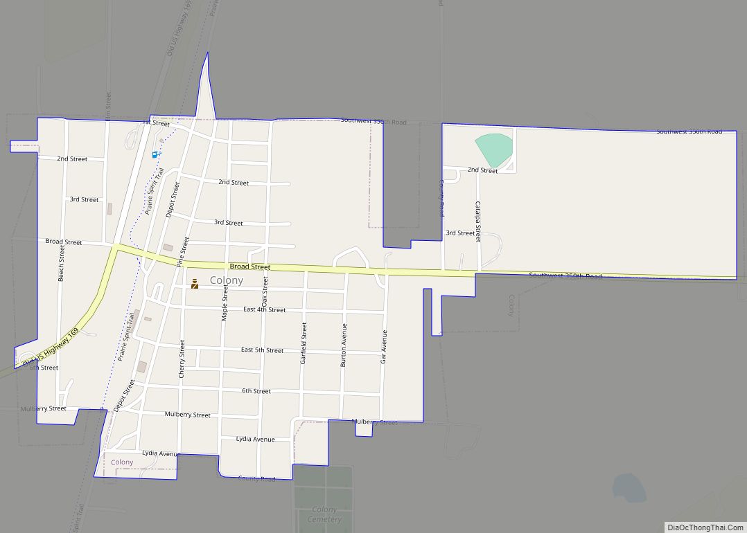
Colony is a city in Anderson County, Kansas, United States. As of the 2020 census, the population of the city was 381. Colony city overview: Name: Colony city LSAD Code: 25 LSAD Description: city (suffix) State: Kansas County: Anderson County Founded: 1872 Incorporated: 1886 Elevation: 1,129 ft (344 m) Total Area: 0.48 sq mi (1.25 km²) Land Area: 0.48 sq mi (1.25 km²) ... Read more
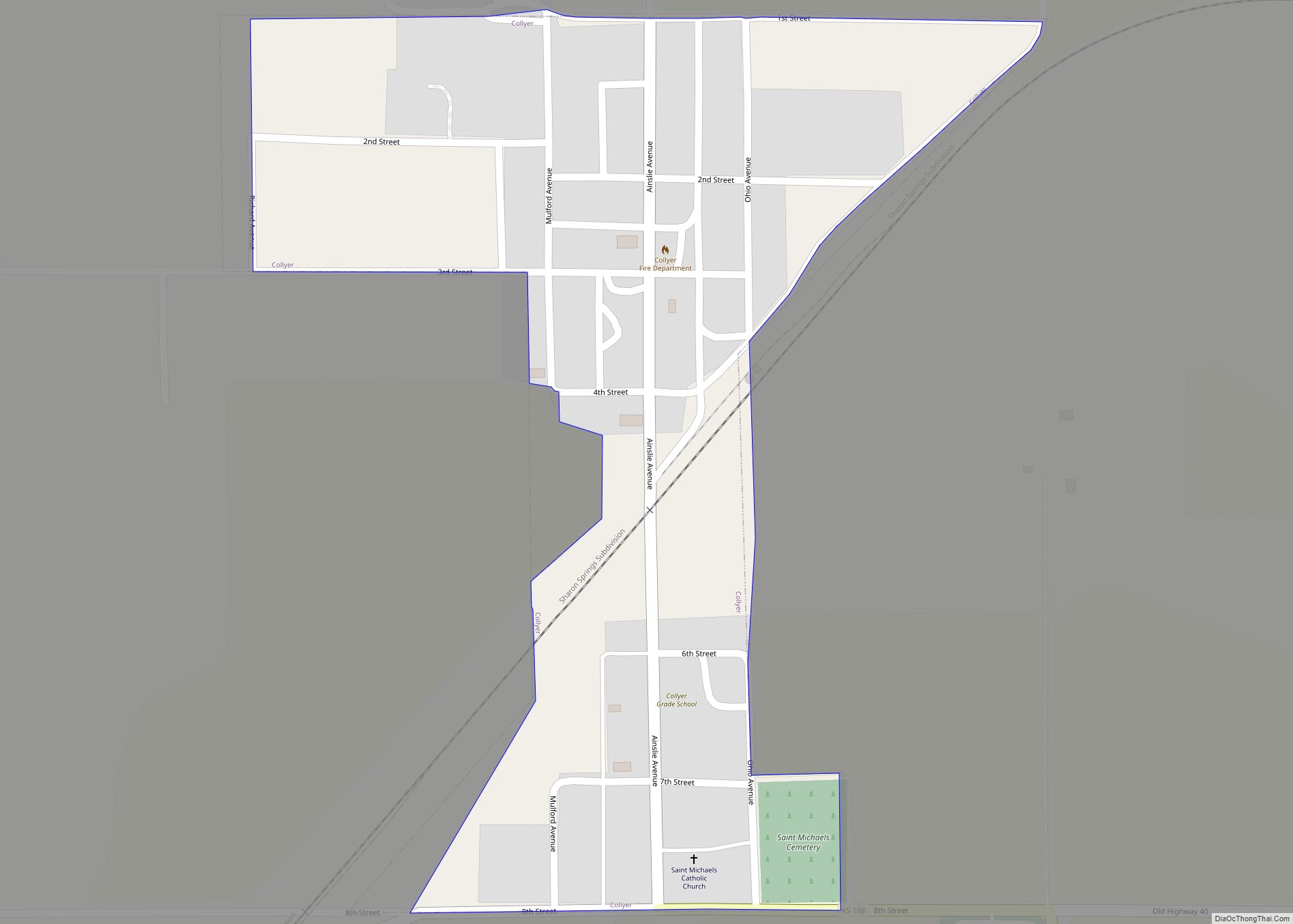
Collyer is a city in Trego County, Kansas, United States. As of the 2020 census, the population of the city was 97. It is located approximately 12 miles west of WaKeeney. Collyer city overview: Name: Collyer city LSAD Code: 25 LSAD Description: city (suffix) State: Kansas County: Trego County Founded: 1879 Incorporated: 1917 Elevation: 2,582 ft ... Read more
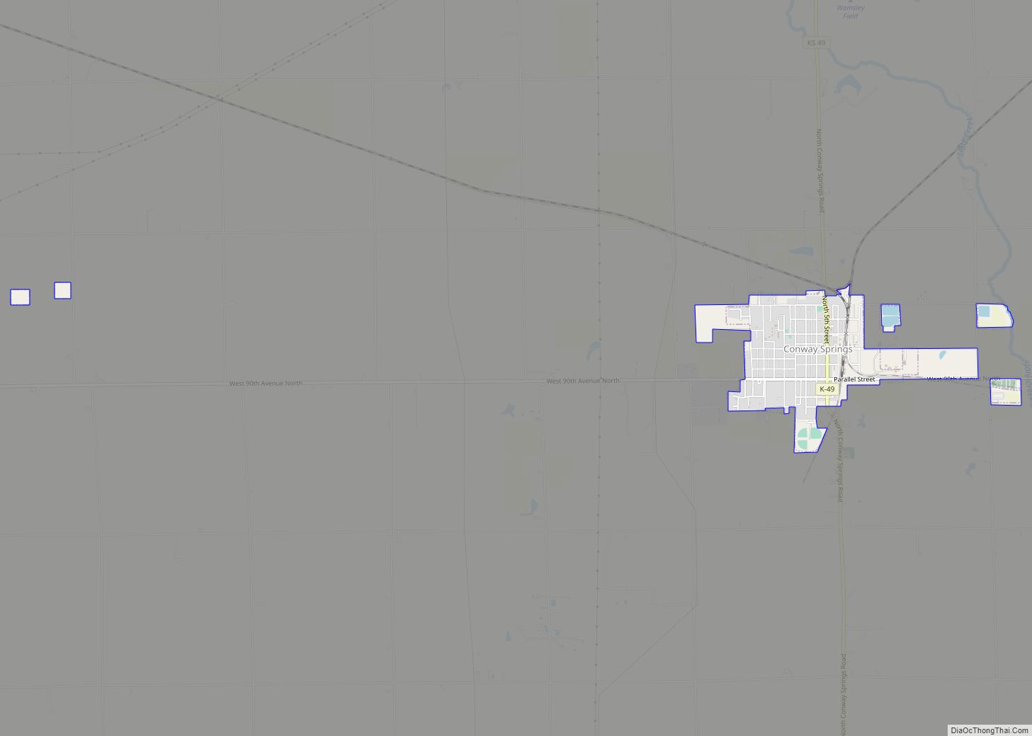
Conway Springs is a city in Sumner County, Kansas, United States. As of the 2020 census, the population of the city was 1,086. Conway Springs city overview: Name: Conway Springs city LSAD Code: 25 LSAD Description: city (suffix) State: Kansas County: Sumner County Founded: 1884 Incorporated: 1886 Elevation: 1,371 ft (418 m) Total Area: 0.99 sq mi (2.56 km²) Land ... Read more
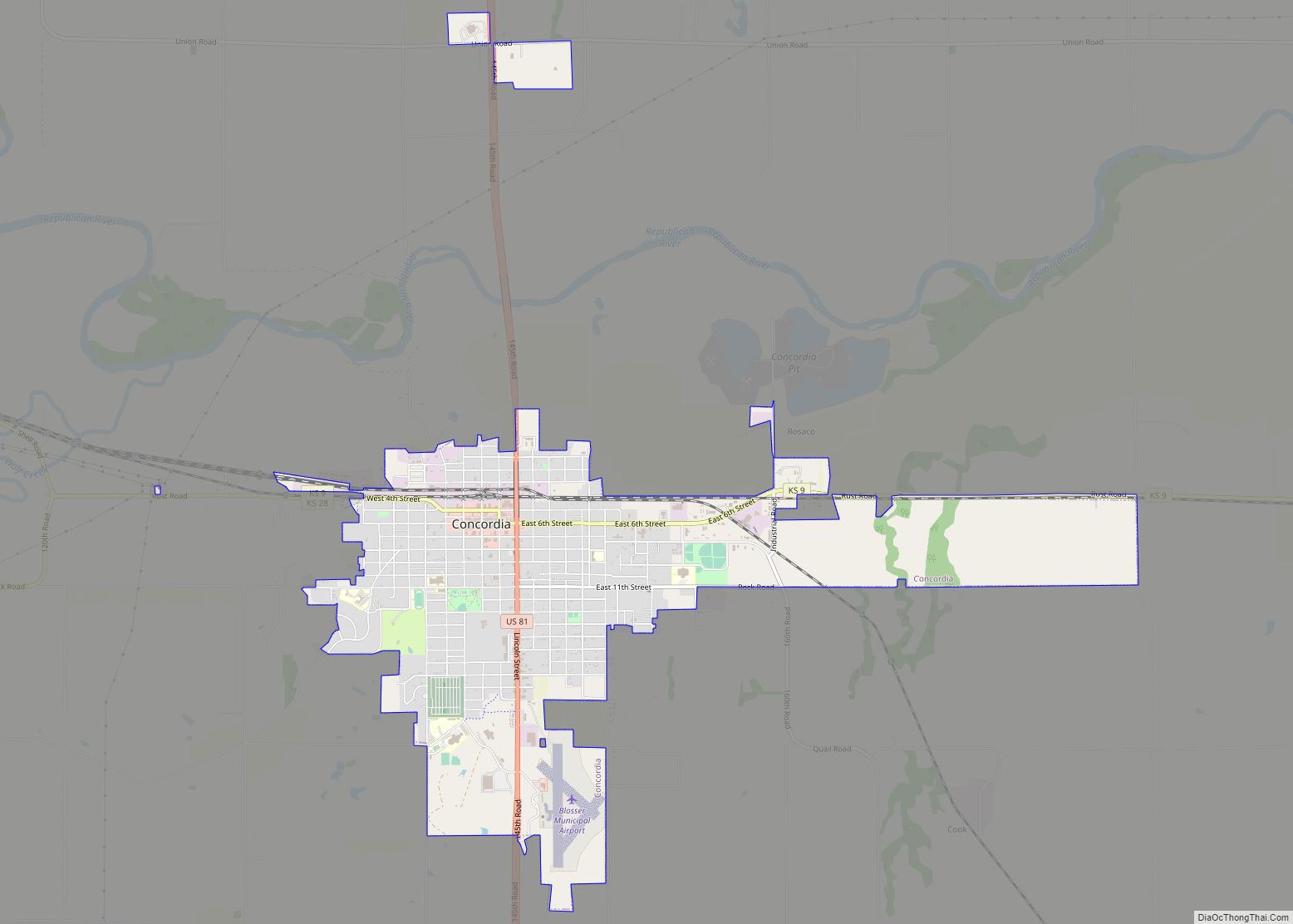
Concordia is a city in and the county seat of Cloud County, Kansas, United States. It is located along the Republican River in the Smoky Hills region of the Great Plains in North Central Kansas. As of the 2020 census, the population of the city was 5,111. Concordia is home of the Cloud County Community ... Read more
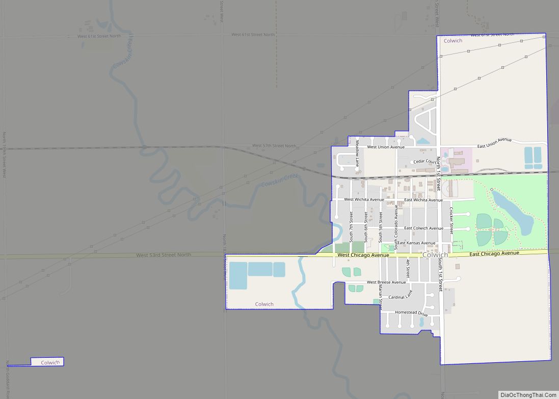
Colwich is a city in Sedgwick County, Kansas, United States, located northwest of Wichita. As of the 2020 census, the population of the city was 1,455. Colwich city overview: Name: Colwich city LSAD Code: 25 LSAD Description: city (suffix) State: Kansas County: Sedgwick County Founded: 1887 Incorporated: 1887 Elevation: 1,381 ft (421 m) Total Area: 1.33 sq mi (3.46 km²) ... Read more
