Colby is a city in and the county seat of Thomas County, Kansas, United States. As of the 2020 census, the population of the city was 5,570.
| Name: | Colby city |
|---|---|
| LSAD Code: | 25 |
| LSAD Description: | city (suffix) |
| State: | Kansas |
| County: | Thomas County |
| Founded: | 1885 |
| Incorporated: | 1886 |
| Elevation: | 3,160 ft (960 m) |
| Total Area: | 3.58 sq mi (9.27 km²) |
| Land Area: | 3.58 sq mi (9.27 km²) |
| Water Area: | 0.00 sq mi (0.00 km²) |
| Total Population: | 5,570 |
| Population Density: | 1,600/sq mi (600/km²) |
| ZIP code: | 67701 |
| Area code: | 785 |
| FIPS code: | 2014650 |
| Website: | cityofcolby.com |
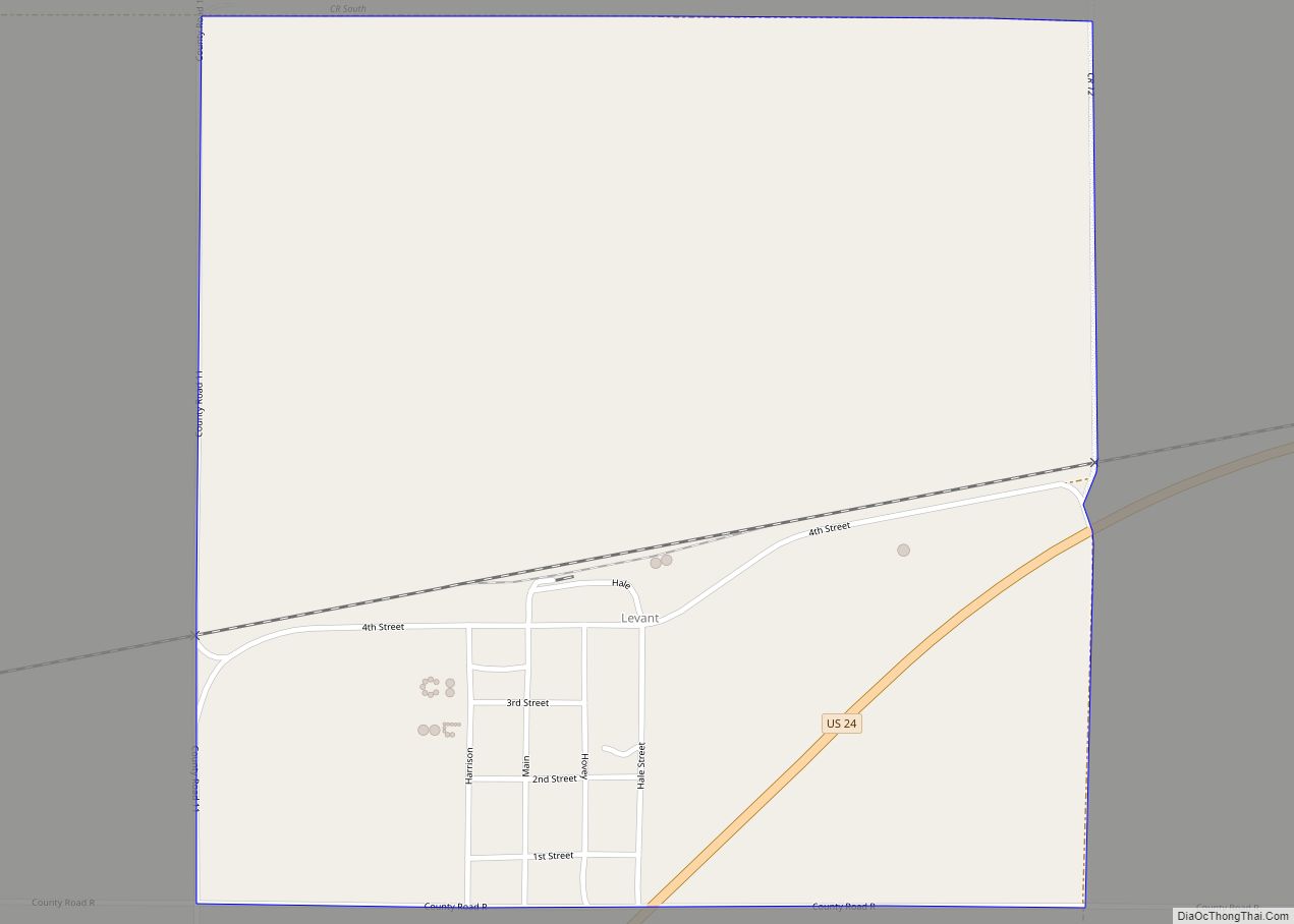
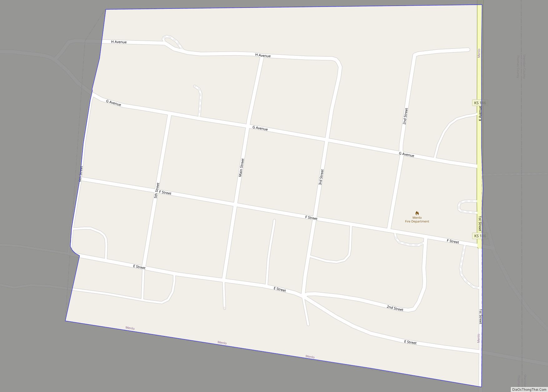
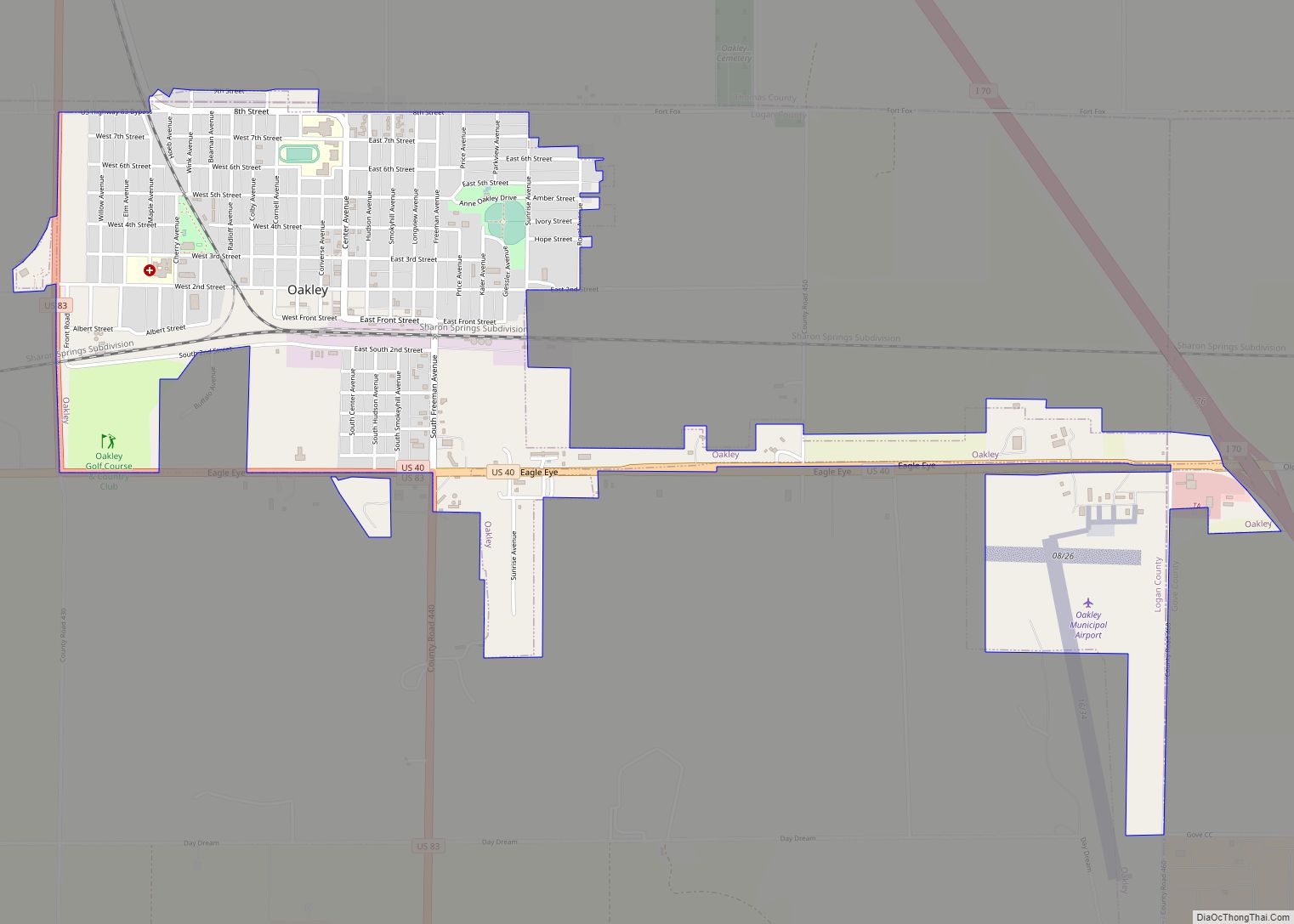
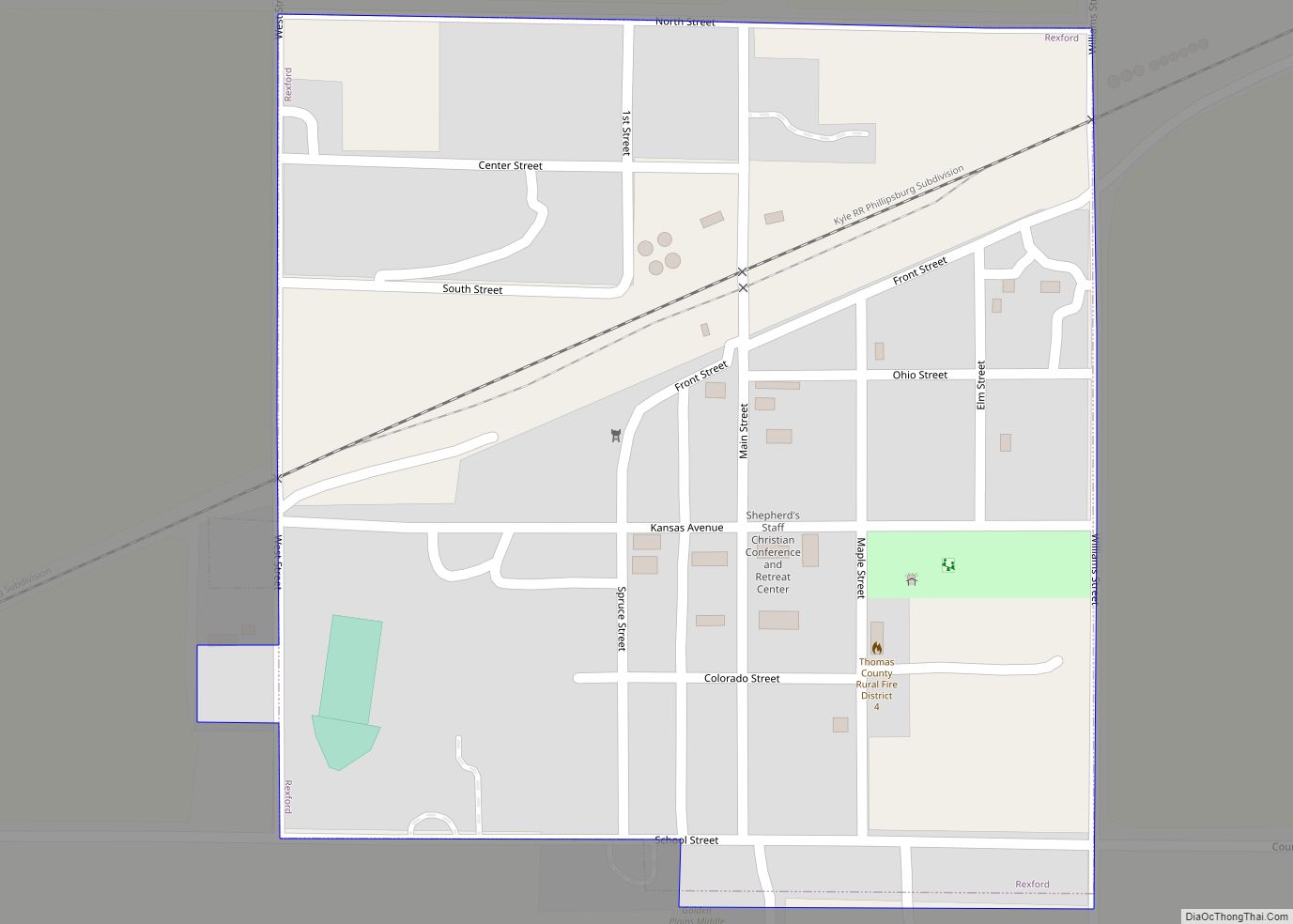
Online Interactive Map
Click on ![]() to view map in "full screen" mode.
to view map in "full screen" mode.
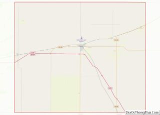
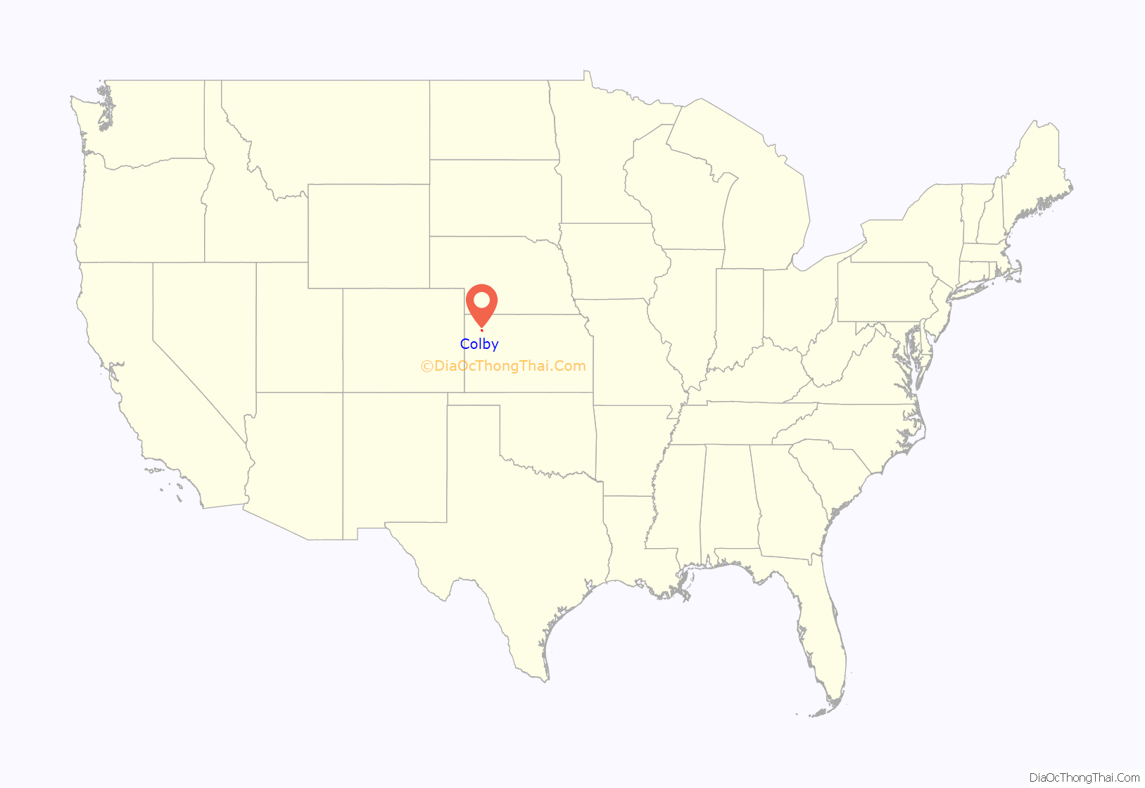
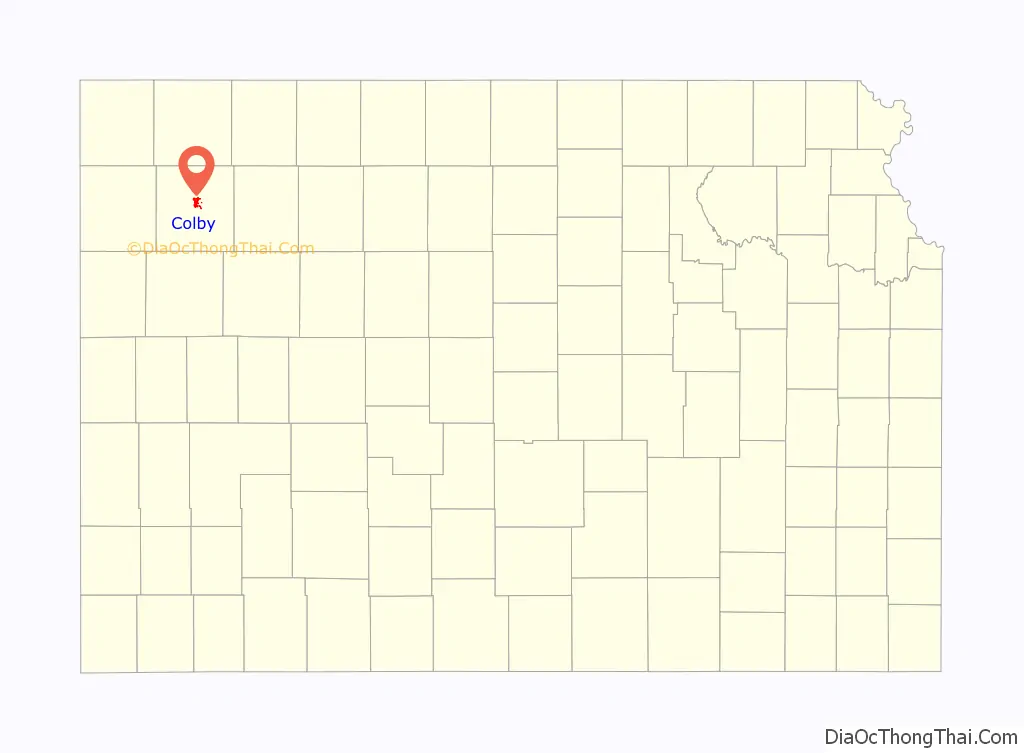
Colby location map. Where is Colby city?
History
In 1882, a post office was established near the center of Thomas County. Area homesteaders lived under harsh conditions in sod houses, creating demand for a town to provide lumber and other provisions to incoming settlers. J.R. Colby, a local land assessor and preacher, obtained a patent to establish the town in April 1884, and land was acquired for the town site three miles north of the post office in March 1885. The following month, the Kansas Secretary of State issued the Town Charter. Kansas Gov. John Martin named Colby the county seat in 1885, and the city was incorporated in 1886. The Union Pacific Railroad reached the city in 1887, and the Rock Island Railroad followed the next year.
In 1941 the St. Thomas Hospital was built as part of the Works Progress Administration plan to build hospitals. This was one of 130 new hospitals to be built with these funds, it was one of two built in Kansas alone. Within the last couple of years, it was renovated to apartments under the name St. Thomas Historic Residences.
Interstate 70 reached Colby in 1965, stimulating the growth of a local hospitality industry.
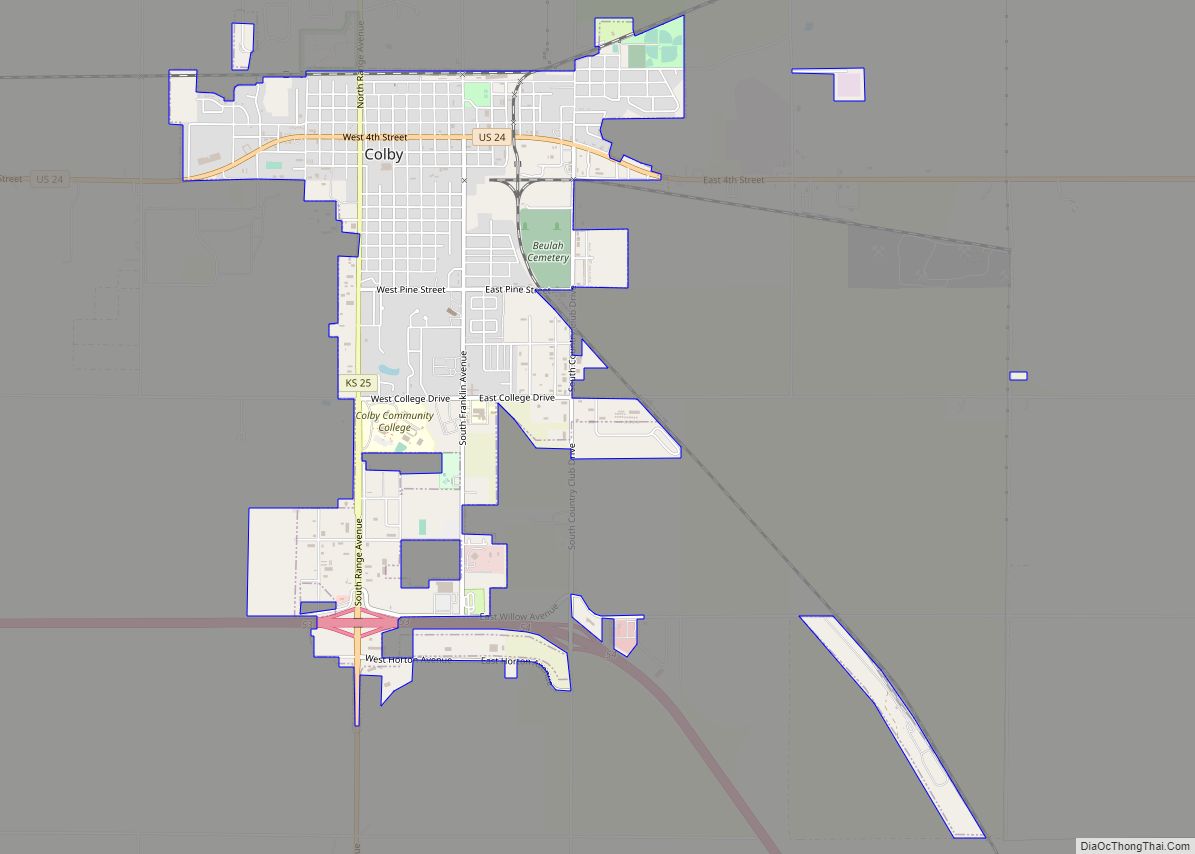
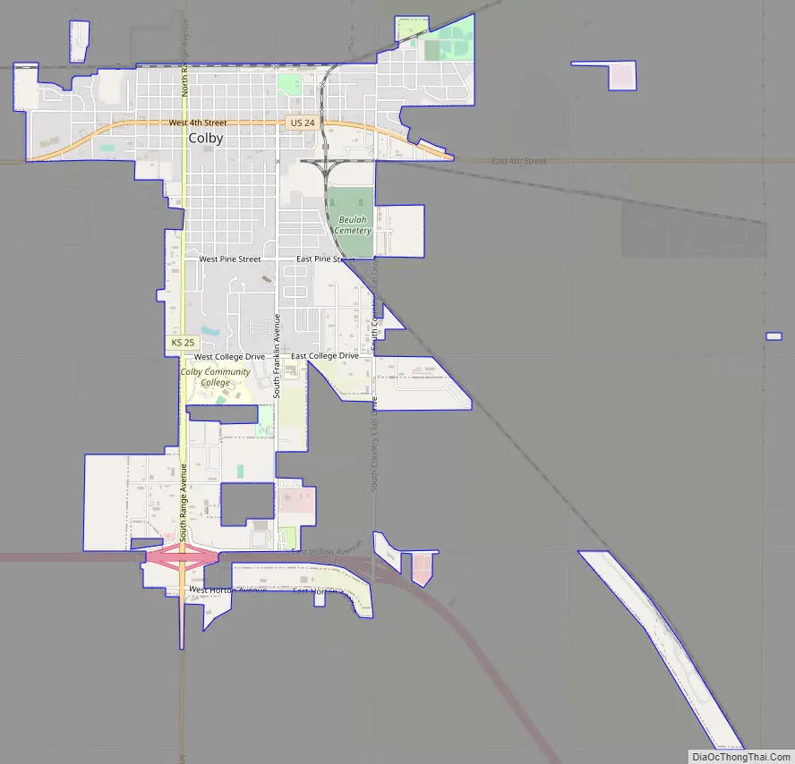
Colby Road Map
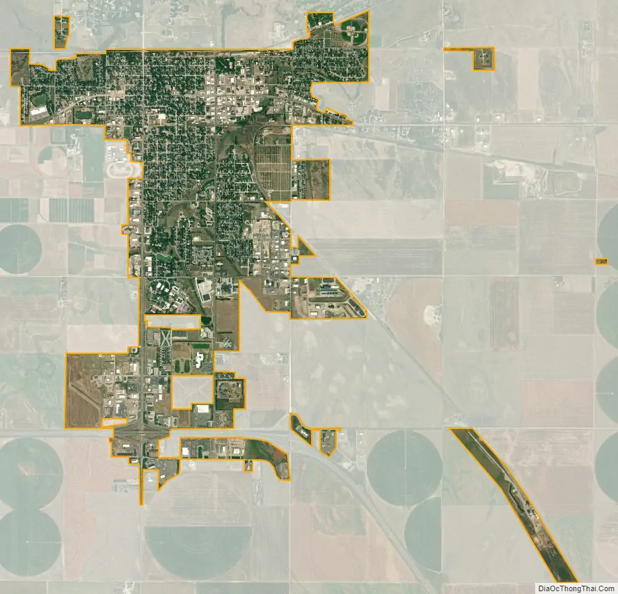
Colby city Satellite Map
Geography
Colby is located at 39°23′32″N 101°02′51″W / 39.392093°N 101.047532°W / 39.392093; -101.047532 (39.392093, -101.047532) at an elevation of 3,160 feet (960 m). It lies on the south side of Prairie Dog Creek, a tributary of the Republican River, in the High Plains region of the Great Plains. A small tributary of the creek flows northeast through the town. Located at the interchange of Interstate 70 and K-25 in northwestern Kansas, Colby is 212 mi (341 km) east-southeast of Denver, 232 mi (373 km) northwest of Wichita, and 347 mi (558 km) west of Kansas City.
According to the United States Census Bureau, the city has a total area of 3.38 square miles (8.75 km), all land.
Climate
Colby has a transitional climate between a humid continental climate (Köppen Dfa) and a semiarid climate (Köppen BSk) with hot summers and cold, dry winters. The average temperature in Colby is 50 °F (10 °C), and the average relative humidity is 61%. Over the course of a year, temperatures range from an average low of 12 °F (−11 °C) in January to an average high of 90 °F (32 °C) in July. The high temperature reaches or exceeds 90 °F (32 °C) an average of 50 days a year and reaches or exceeds 100 °F (38 °C) an average of 6.5 days a year. The minimum temperature falls below the freezing point 32 °F (0 °C) an average of 166.5 days a year. Typically, the first fall freeze occurs between mid-September and the second week of October, and the last spring freeze occurs between the fourth week of April and the third week of May. Colby receives nearly 21 inches (530 mm) of precipitation during an average year with the largest share being received from May through July; that period averages over 25 days of measurable precipitation. During a typical year, the total amount of precipitation may be anywhere from 15 inches (380 mm) to 29 inches (740 mm). There are, on average, 72 days of measurable precipitation each year. Annual snowfall averages 29 inches (74 cm), but the median is less than 23 inches (58 cm). Measurable snowfall occurs an average of 70 days a year with at least an inch of snow being received on nine of those days. Snow depth of at least an inch occurs an average of 31 days a year. Typically, January is the coldest month, and July is both the hottest and wettest month. The hottest temperature recorded in Colby was 113 °F (45 °C) in 2012; the coldest temperature recorded was -32 °F (-36 °C) in 1989.
See also
Map of Kansas State and its subdivision:- Allen
- Anderson
- Atchison
- Barber
- Barton
- Bourbon
- Brown
- Butler
- Chase
- Chautauqua
- Cherokee
- Cheyenne
- Clark
- Clay
- Cloud
- Coffey
- Comanche
- Cowley
- Crawford
- Decatur
- Dickinson
- Doniphan
- Douglas
- Edwards
- Elk
- Ellis
- Ellsworth
- Finney
- Ford
- Franklin
- Geary
- Gove
- Graham
- Grant
- Gray
- Greeley
- Greenwood
- Hamilton
- Harper
- Harvey
- Haskell
- Hodgeman
- Jackson
- Jefferson
- Jewell
- Johnson
- Kearny
- Kingman
- Kiowa
- Labette
- Lane
- Leavenworth
- Lincoln
- Linn
- Logan
- Lyon
- Marion
- Marshall
- McPherson
- Meade
- Miami
- Mitchell
- Montgomery
- Morris
- Morton
- Nemaha
- Neosho
- Ness
- Norton
- Osage
- Osborne
- Ottawa
- Pawnee
- Phillips
- Pottawatomie
- Pratt
- Rawlins
- Reno
- Republic
- Rice
- Riley
- Rooks
- Rush
- Russell
- Saline
- Scott
- Sedgwick
- Seward
- Shawnee
- Sheridan
- Sherman
- Smith
- Stafford
- Stanton
- Stevens
- Sumner
- Thomas
- Trego
- Wabaunsee
- Wallace
- Washington
- Wichita
- Wilson
- Woodson
- Wyandotte
- Alabama
- Alaska
- Arizona
- Arkansas
- California
- Colorado
- Connecticut
- Delaware
- District of Columbia
- Florida
- Georgia
- Hawaii
- Idaho
- Illinois
- Indiana
- Iowa
- Kansas
- Kentucky
- Louisiana
- Maine
- Maryland
- Massachusetts
- Michigan
- Minnesota
- Mississippi
- Missouri
- Montana
- Nebraska
- Nevada
- New Hampshire
- New Jersey
- New Mexico
- New York
- North Carolina
- North Dakota
- Ohio
- Oklahoma
- Oregon
- Pennsylvania
- Rhode Island
- South Carolina
- South Dakota
- Tennessee
- Texas
- Utah
- Vermont
- Virginia
- Washington
- West Virginia
- Wisconsin
- Wyoming