Concordia is a city in and the county seat of Cloud County, Kansas, United States. It is located along the Republican River in the Smoky Hills region of the Great Plains in North Central Kansas. As of the 2020 census, the population of the city was 5,111. Concordia is home of the Cloud County Community College and the Nazareth Convent and Academy.
| Name: | Concordia city |
|---|---|
| LSAD Code: | 25 |
| LSAD Description: | city (suffix) |
| State: | Kansas |
| County: | Cloud County |
| Founded: | 1870 |
| Incorporated: | 1872 |
| Elevation: | 1,378 ft (420 m) |
| Total Area: | 4.50 sq mi (11.66 km²) |
| Land Area: | 4.50 sq mi (11.66 km²) |
| Water Area: | 0.00 sq mi (0.00 km²) |
| Total Population: | 5,111 |
| Population Density: | 1,100/sq mi (440/km²) |
| ZIP code: | 66901 |
| Area code: | 785 |
| FIPS code: | 2015200 |
| Website: | concordiaks.org |
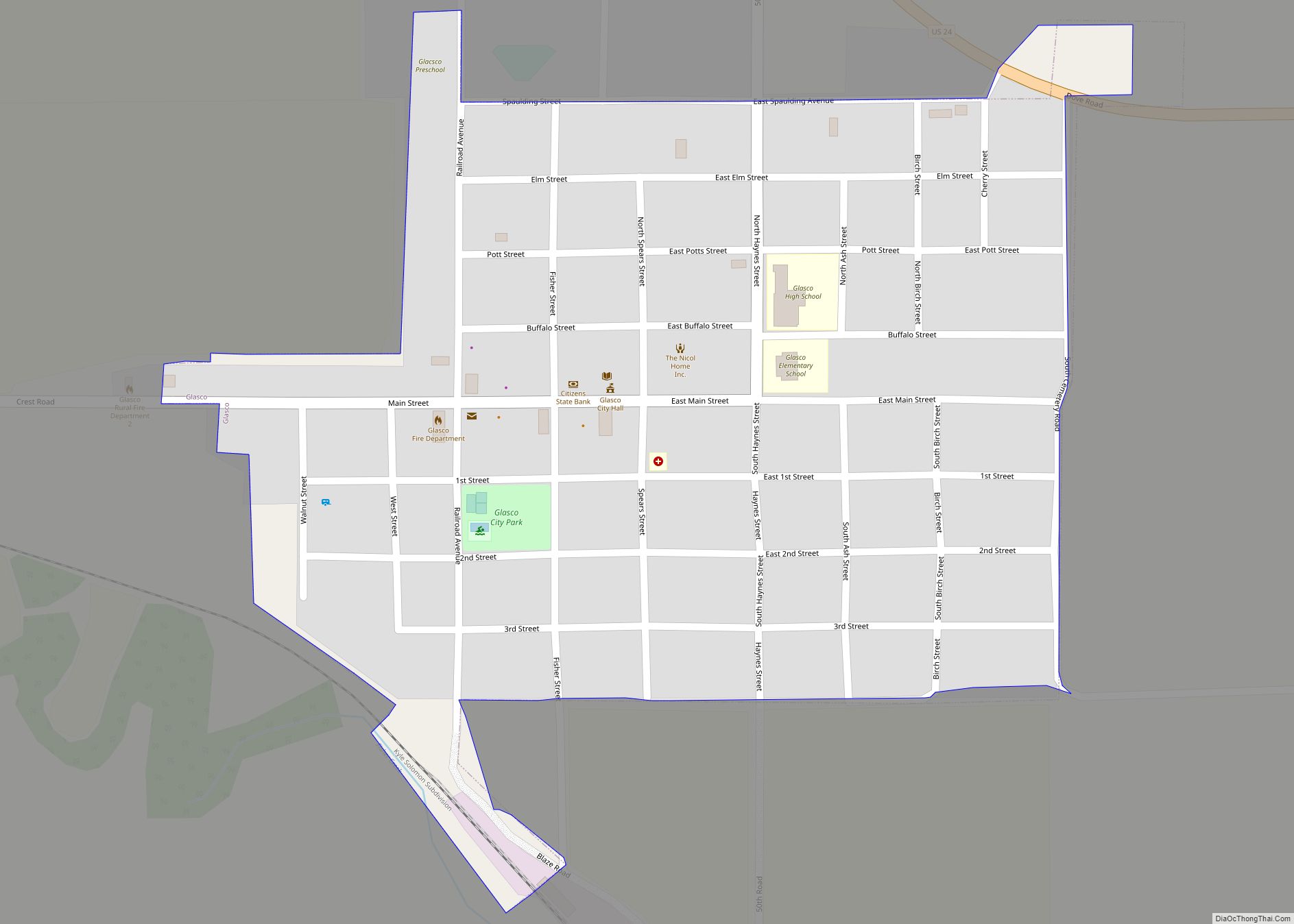
Online Interactive Map
Click on ![]() to view map in "full screen" mode.
to view map in "full screen" mode.
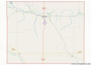
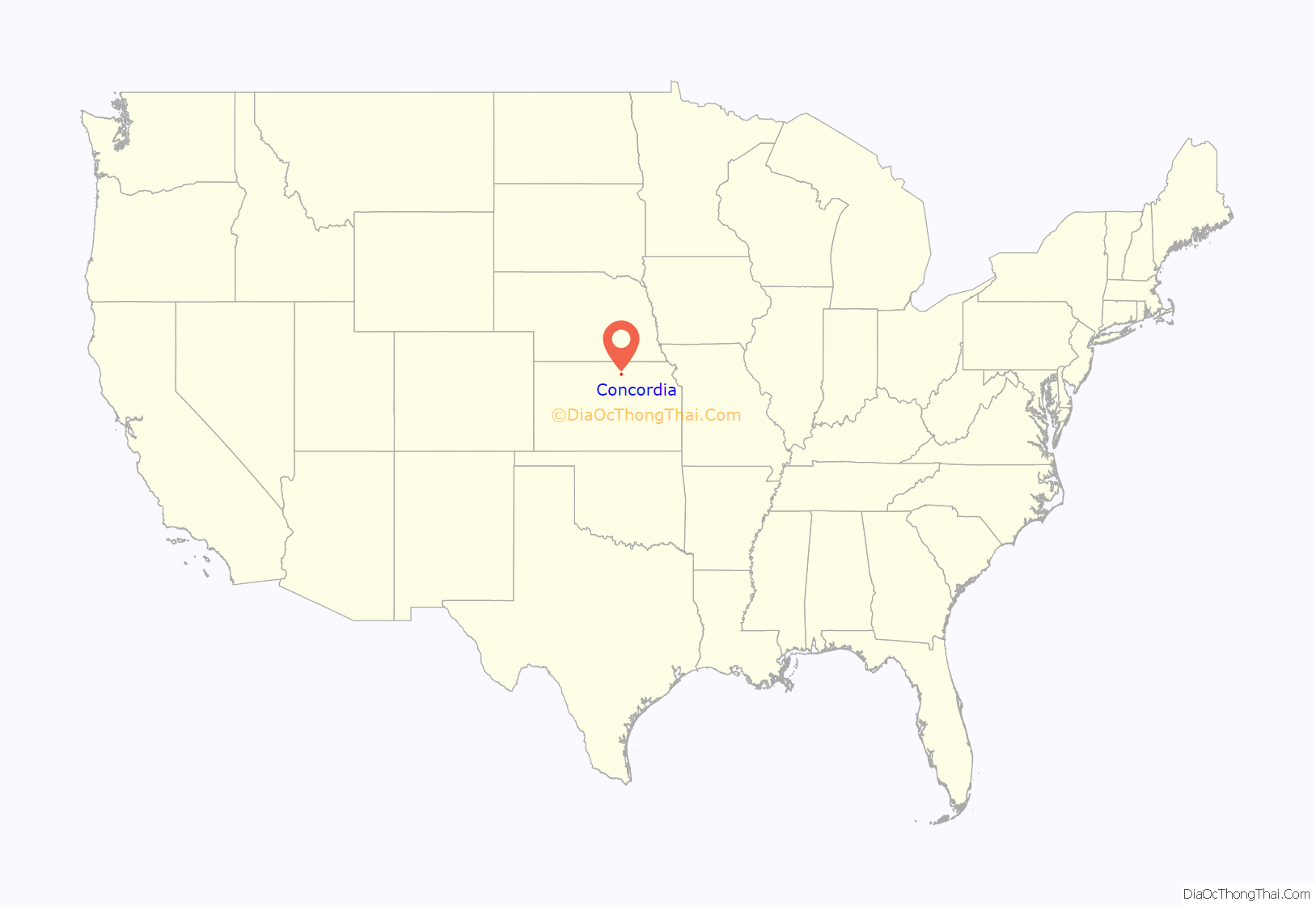
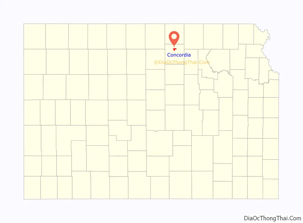
Concordia location map. Where is Concordia city?
History
19th century
Concordia holds the distinction of being elected the county seat before the town was created. The founder of the town, James M. Hagaman, had created a complete layout of the town on paper including streets, blocks, courthouse, and parks. The name “Concordia” was chosen because a member of the early group of promoters (“Cap” Snyder) had once lived in Concordia, Missouri, and liked the name because it paid homage to the settlers-to-be’s German heritage; the name “Concordia” is a German name found in many early Germanic poems.
December 1869 was the first election for the county seat with Concordia, Clyde, and the now defunct town, Sibley. Without a clear majority, a second election was held between Concordia and Sibley on January 4, 1870. Concordia was declared the winner over Sibley, 165 votes to 129.
It was over a year later when Concordia officially became a community when the Republican Land District Office opened on January 16, 1871. The Concordia Land Office continued until February 28, 1889, when it was consolidated with the land office in Topeka, Kansas.
Also in 1871, Concordia elected its first mayor, R. E. Allen. Under his leadership, Concordia was officially incorporated as a third class city under Kansas law in August 1872.
Concordia was visited in its early years by many traveling shows. As early as 1876, various traveling entertainers, including Wild Bill Hickok, Buffalo Bill Cody, Ringling Brothers, and others came to Concordia. In 1892, the Ringling train wrecked east of the town killing two men and 20 horses, but the show played the next day to a crowd of 4,000.
The first schoolteacher to teach inside the city limits was Milo Stevens, who was paid a salary of $20 per month. A state normal school was set up in Concordia in 1874 with F. E. Robinson as principal and former state Superintendent H. D. McCarty became president the second year. In 1876, the state ceased to provide funding and the school was closed.
In 1887, Atchison, Topeka and Santa Fe Railway built a branch line from Neva (three miles west of Strong City) through Concordia to Superior, Nebraska. In 1996, the Atchison, Topeka and Santa Fe Railway merged with Burlington Northern Railroad and renamed to the current BNSF Railway. Most locals still refer to this railroad as the “Santa Fe.”
In 1897, Pope Leo XIII founded the Roman Catholic Diocese of Concordia, Kansas. The diocese operated until 1947 when it was merged with the Roman Catholic Diocese of Salina. It was later restored as a titular see in 1995.
20th century
Carrie Nation visited Concordia in the early 1900s. Records are mixed, but the date is placed between 1908 and 1910. The Concordia Blade newspaper (now the Concordia Blade-Empire) reported:
A major geographic change in the city and the area occurred on July 9, 1902. The Republican River flooded near town and broke a dam. The flooding resulted in re-routing the river by 1/4 of a mile.
The year of 1912 brought a major blizzard to Concordia with snow so deep that a Union Pacific train became stuck northeast of town and snowbanks on main street piled as high as peoples’ heads. Also in 1912, the first official inspection team for Meridian Highway (now US-81) came through Concordia on their tour from Canada to Mexico. In 1913, the Missouri Pacific Railway depot was rebuilt after a fire destroyed the old building.
Another flood took place on June 20, 1915. Damage from the flood was significant but not as wide-sweeping as the flood of 1902.
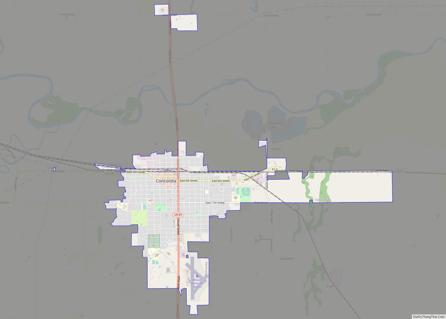
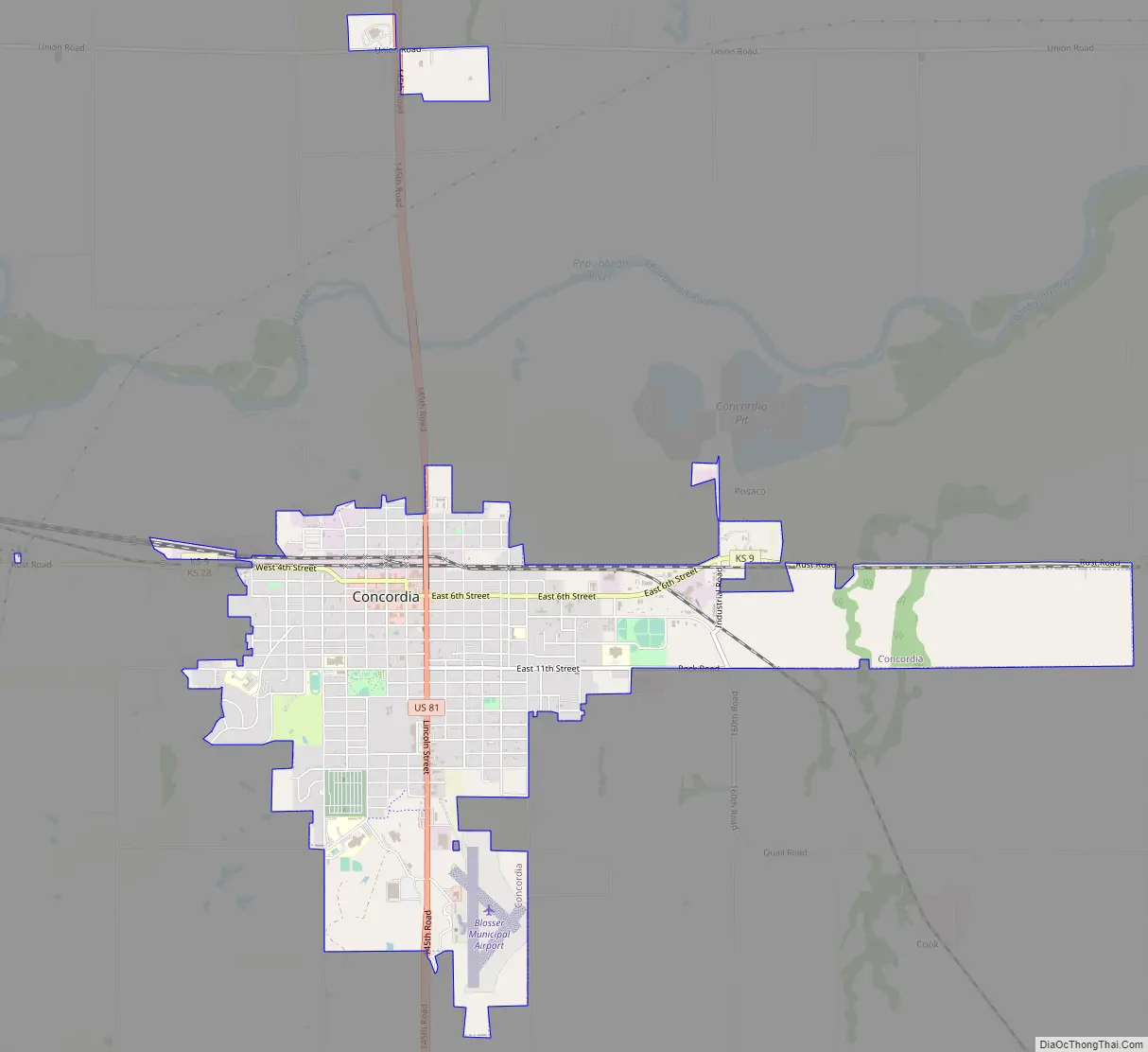
Concordia Road Map
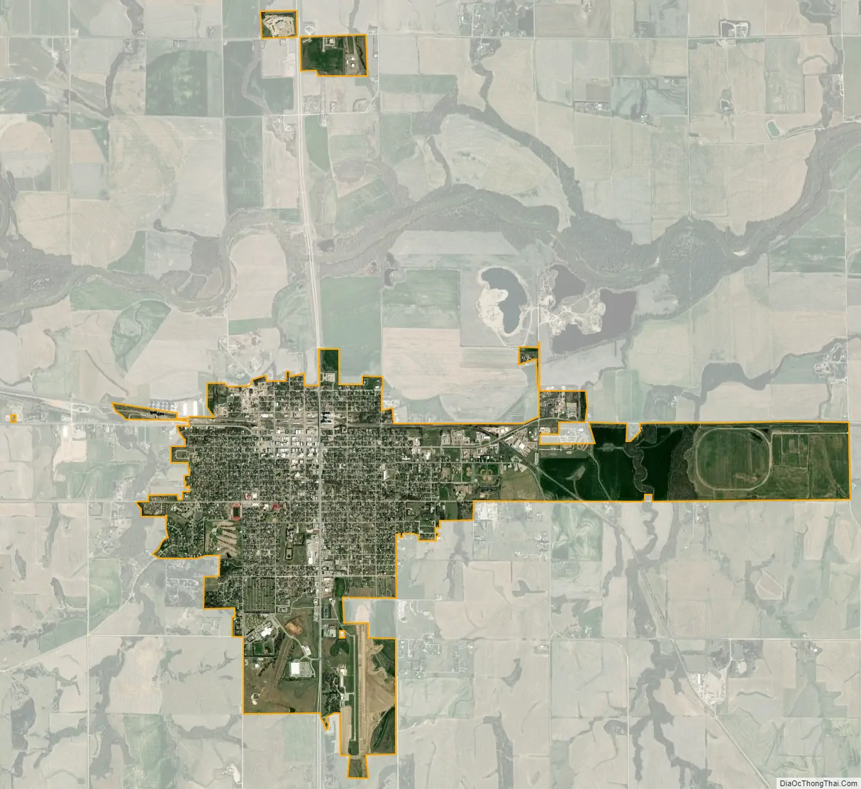
Concordia city Satellite Map
Geography
Concordia is located at 39°34′9″N 97°39′30″W / 39.56917°N 97.65833°W / 39.56917; -97.65833 (39.569035, −97.658398) and is at an elevation of 1,378 feet (420 m). It lies on the south side of the Republican River in the Smoky Hills region of the Great Plains. Lost Creek, a tributary of the Republican, flows north along the western edge of the city. Located in north-central Kansas at the intersection of U.S. Route 81 and K-9, Concordia is approximately 125 mi (201 km) north of Wichita, 149 mi (240 km) southwest of Omaha, and 169 mi (272 km) west-northwest of Kansas City.
According to the United States Census Bureau, the city has a total area of 4.32 square miles (11.19 km), all land.
Climate
Concordia has a humid continental climate (Köppen Dfa), with hot, humid summers and cold, dry winters; it is part of USDA Hardiness zone 6a. The normal monthly mean temperature ranges from 28.6 °F (−1.9 °C) in January to 79.1 °F (26.2 °C) in July. On average, there are 8.2 days that reach 100 °F (38 °C) or higher, 49 days that reach 90 °F (32 °C) or higher, 30 days that do not climb above freezing, and 5.7 days with a low of 0 °F (−18 °C) or below. The average window for freezing temperatures is October 15 thru April 18, allowing a growing season of 179 days. Extreme temperatures officially range from −33 °F (−36 °C) on January 8, 1886, up to 116 °F (47 °C) on August 12, 1936; the record cold daily maximum is −11 °F (−24 °C) on January 14, 1888, while, conversely, the record warm daily minimum is 86 °F (30 °C) on July 1, 1933.
Precipitation is greatest in May and has ranged from 12.83 in (326 mm) in 1956 to 44.79 in (1,138 mm) in 1993. Snowfall averages 20.2 in (51 cm) per season, and has historically ranged from 2.5 in (6.4 cm) in 1903–04 to 59.1 in (150 cm) in 1959–60.
See also
Map of Kansas State and its subdivision:- Allen
- Anderson
- Atchison
- Barber
- Barton
- Bourbon
- Brown
- Butler
- Chase
- Chautauqua
- Cherokee
- Cheyenne
- Clark
- Clay
- Cloud
- Coffey
- Comanche
- Cowley
- Crawford
- Decatur
- Dickinson
- Doniphan
- Douglas
- Edwards
- Elk
- Ellis
- Ellsworth
- Finney
- Ford
- Franklin
- Geary
- Gove
- Graham
- Grant
- Gray
- Greeley
- Greenwood
- Hamilton
- Harper
- Harvey
- Haskell
- Hodgeman
- Jackson
- Jefferson
- Jewell
- Johnson
- Kearny
- Kingman
- Kiowa
- Labette
- Lane
- Leavenworth
- Lincoln
- Linn
- Logan
- Lyon
- Marion
- Marshall
- McPherson
- Meade
- Miami
- Mitchell
- Montgomery
- Morris
- Morton
- Nemaha
- Neosho
- Ness
- Norton
- Osage
- Osborne
- Ottawa
- Pawnee
- Phillips
- Pottawatomie
- Pratt
- Rawlins
- Reno
- Republic
- Rice
- Riley
- Rooks
- Rush
- Russell
- Saline
- Scott
- Sedgwick
- Seward
- Shawnee
- Sheridan
- Sherman
- Smith
- Stafford
- Stanton
- Stevens
- Sumner
- Thomas
- Trego
- Wabaunsee
- Wallace
- Washington
- Wichita
- Wilson
- Woodson
- Wyandotte
- Alabama
- Alaska
- Arizona
- Arkansas
- California
- Colorado
- Connecticut
- Delaware
- District of Columbia
- Florida
- Georgia
- Hawaii
- Idaho
- Illinois
- Indiana
- Iowa
- Kansas
- Kentucky
- Louisiana
- Maine
- Maryland
- Massachusetts
- Michigan
- Minnesota
- Mississippi
- Missouri
- Montana
- Nebraska
- Nevada
- New Hampshire
- New Jersey
- New Mexico
- New York
- North Carolina
- North Dakota
- Ohio
- Oklahoma
- Oregon
- Pennsylvania
- Rhode Island
- South Carolina
- South Dakota
- Tennessee
- Texas
- Utah
- Vermont
- Virginia
- Washington
- West Virginia
- Wisconsin
- Wyoming